

Cat Rocky 2007-2023
Muesli
The Cat and Cartography
In all fairness to cat Muesli, his supply of 'Little Grey Cells'(™H.Poirot) is not zero. He understands that the milk he craves comes from the plastic bottles I pull out of the freezer. What he does not compute is that several hours must pass before the contents defrost sufficiently for him to sample them.
What, you wonder, does this have to do with cartography? The answer lies on the other side of the A23 to Muesli, a little north of Reigate Hill, on a chalk downland slope. It may be seen on maps drawn up from, say, the 1890s until 1976. These depicted a diminutive area of woodland in close proximity to the Gatton Estate. By my estimate, it accounted for no more than 1/50 square kilometre, or 5 acres. Realizing this, whoever put this arboricultural dwarf on the map thought carefully about its name. What is the smallest item of which one can conceive? How should this teeny-weeny wood be envisaged? His solution was cartographical genius: Catsbrain Shaw.
Alas, it was not to last. In 1976 the M25 motorway lobotomised the southern half of this mapping marvel. So diminished is it now that the name is no longer recorded by the OS. Sic transit gloria mundi.
Exhaustion sets in.
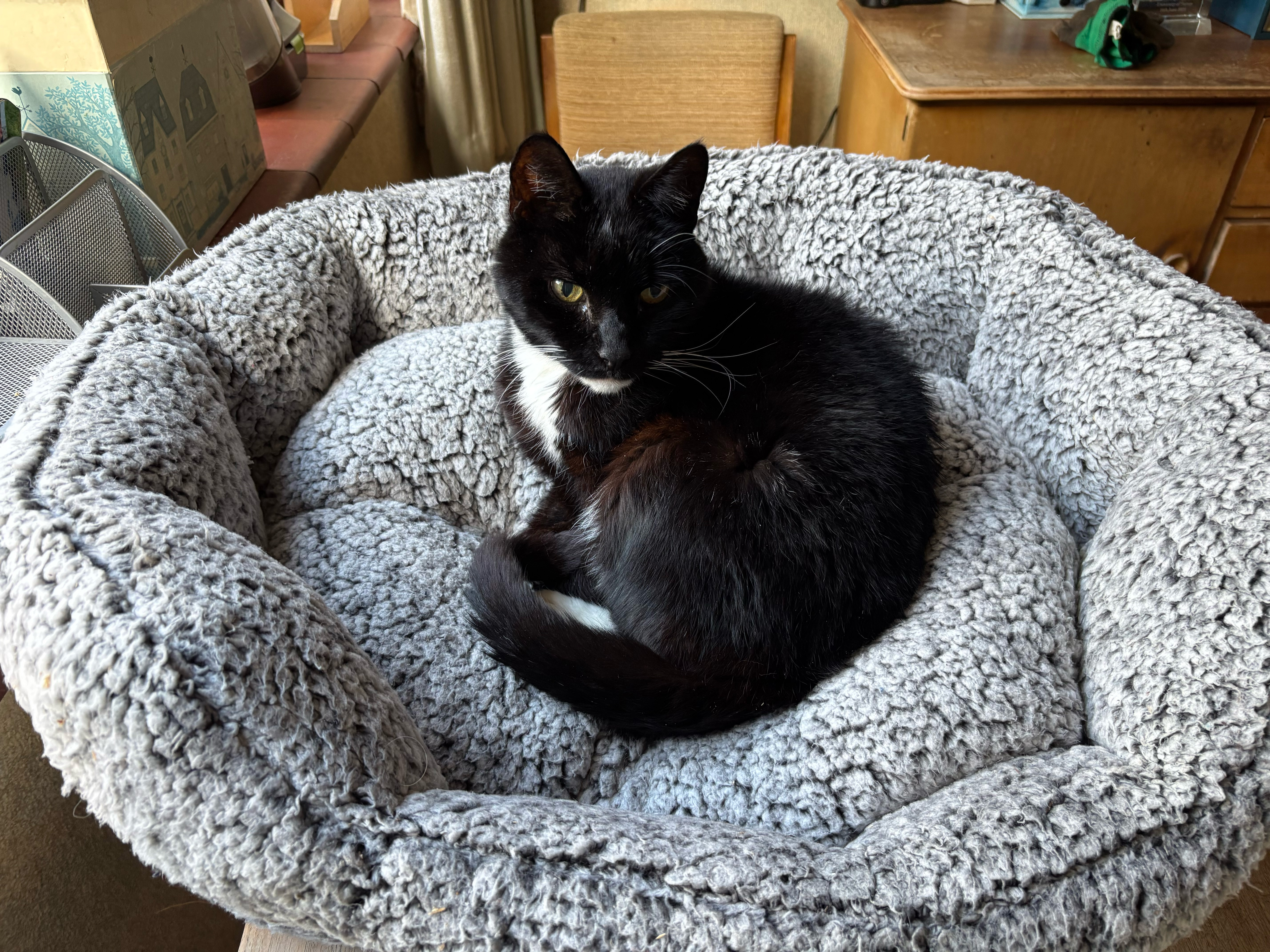
When you only have one brain cell, it has to work very hard to cope with everyday tasks. To assist its recuperation, he resorts to his new bed while deciding whether to ask me for another breakfast, or to move on and do lunch.
Tough call.