

Parametric data
- Route name:
- Addington station.
- Distance:
- 11 miles.
- Topology:
- Point to point (south westward).
- Seasonal suitability:
- Best in dry season. Several stretches of dirt path; some a bit challenging in any weather.
- Ascent:
- 200m+
- Stiles:
- Three (all off Farleigh Court Road). No probs.
- Landmark of note:
- RAF Kenley Tribute. Not, strictly speaking, en route but near enough.
- Feasible excursion:
- The route past the north end of the Surrey National Course is unviable. Across the middle looks a better bet. Doctors Lane is a regressive route, but preferable to Church Lane IMHO.
- Walking in the road:
- Approx ½ mile along Church Lane through Chaldon. Not great, so attempt it at off peak times only.
- Footpath quality:
- Mixed. Half the route goes across golf courses. Traverse them without misgivings over mud and manure.
- Duration
- 5.1 hours
- Refreshments:
- Whyteleafe Park Pavilion. Alternatively buy a sarnie from The Co-op to eat in the park.
Route map and notes.
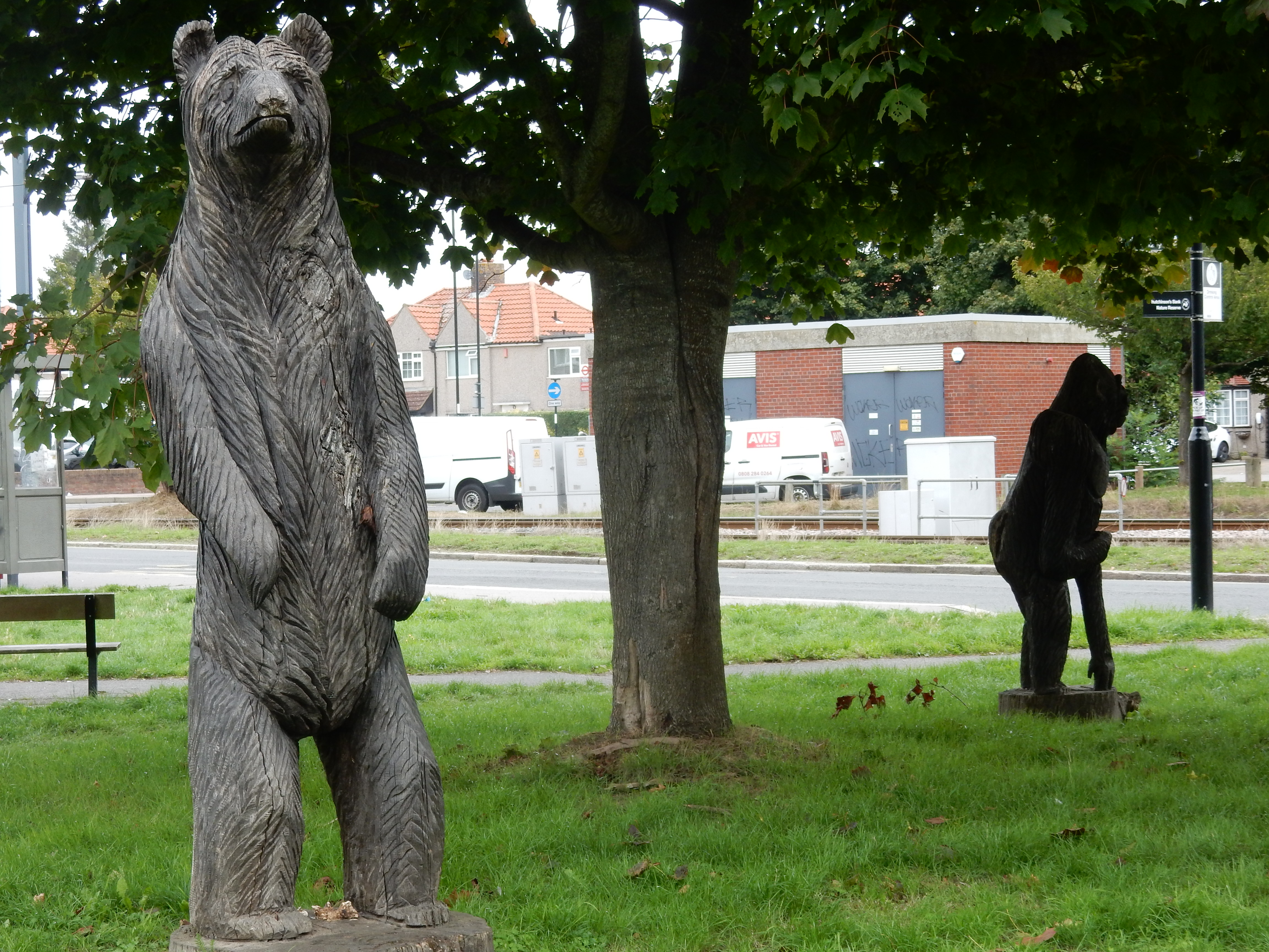
Five minutes walk from the tram stop takes you to Hutchinson's Bank nature reserve. It's everything you might hope for in the natural landscape. Of Croydon. Going down to the woods today? Anticipate a bathroom break taken by this guy.
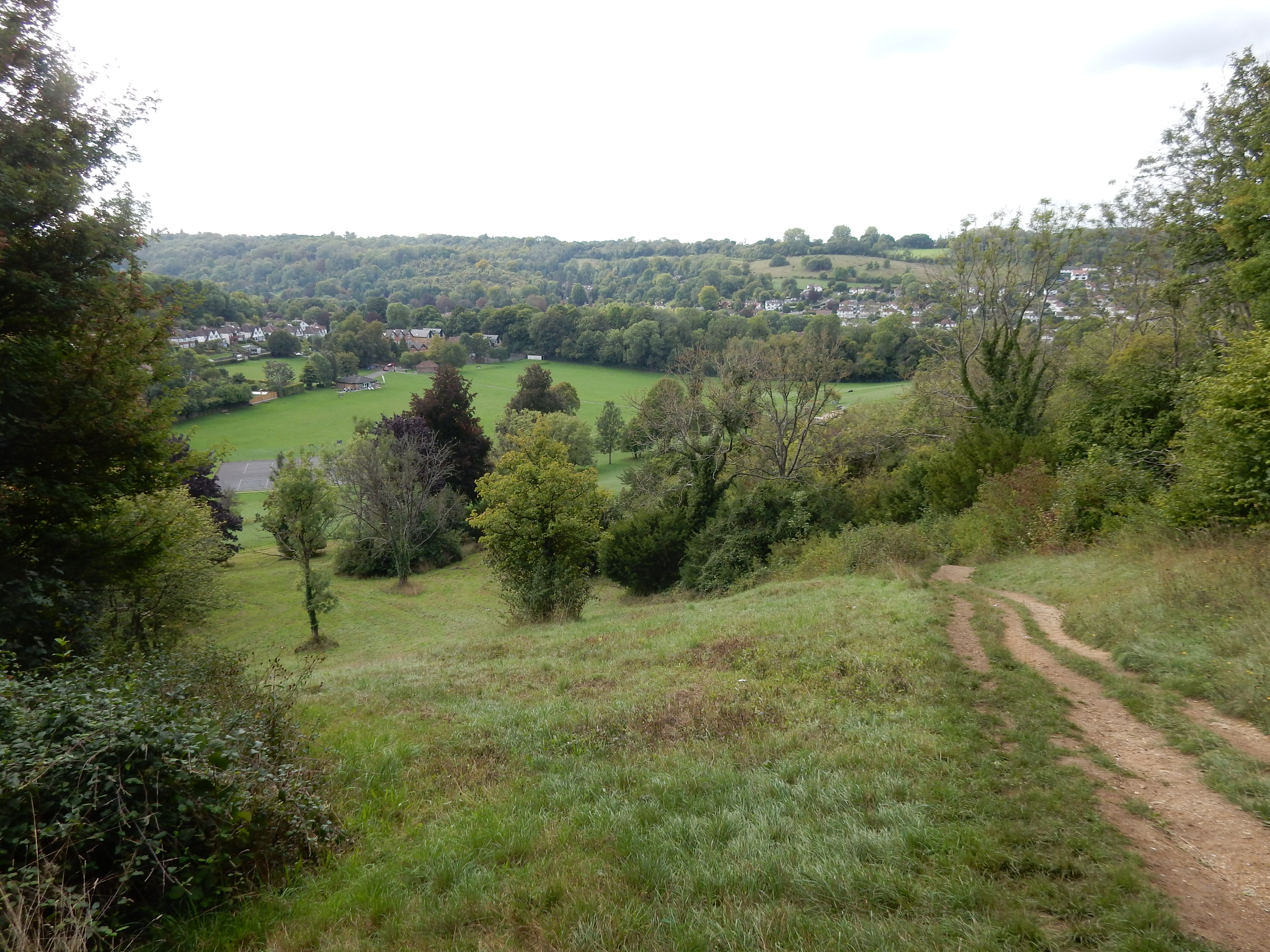
Much of the interest in this walk is due to the succession of valleys and higher ground or wind gaps characteristic of the North Downs. For that reason some stretches involve steep slopes cut into chalk that can become slippery in wet conditions.
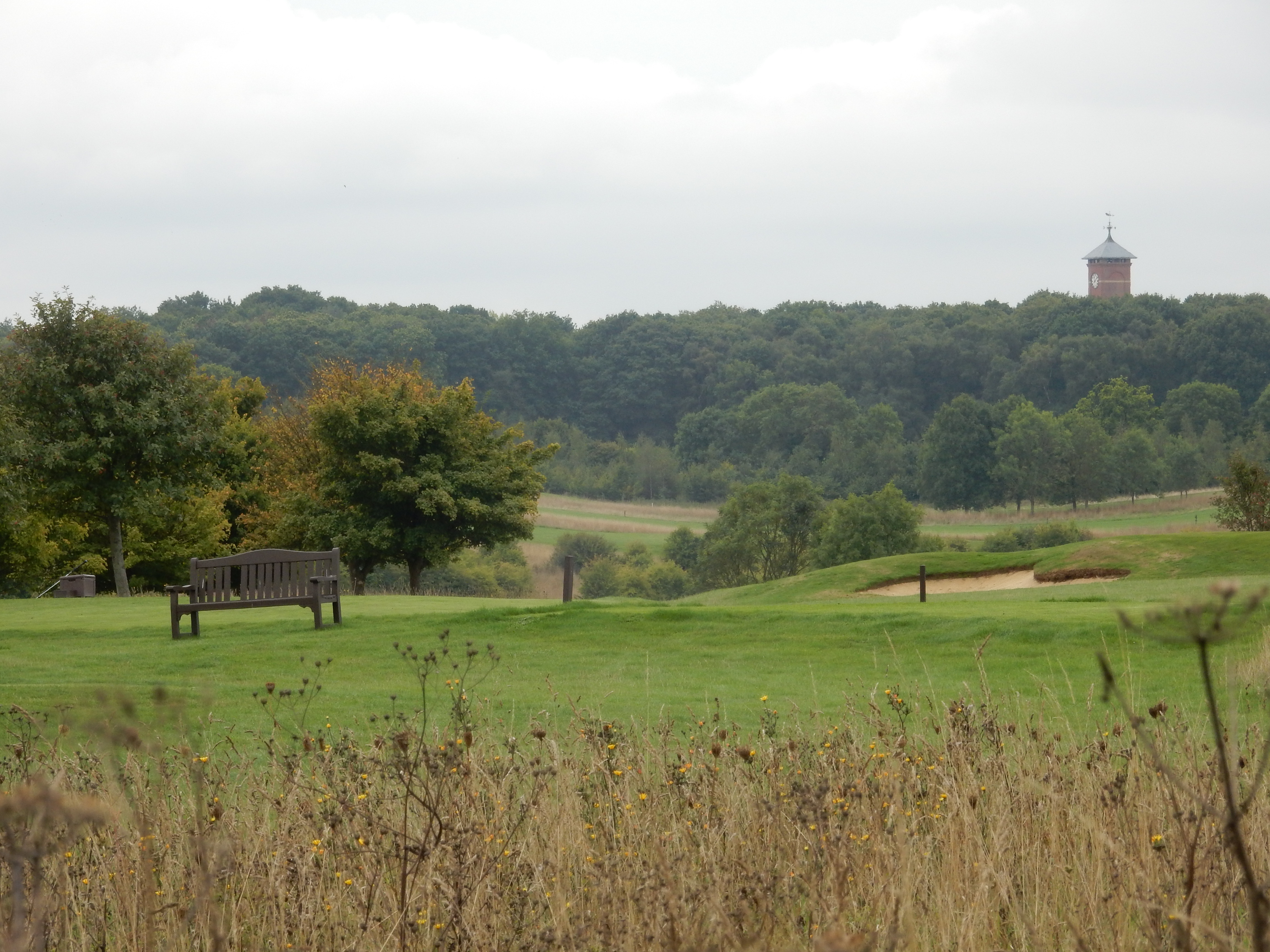
This being Surrey, the main topographical feature is the golf course. The course at Farleigh Golf is a straight north-south traversal in 15 minutes or so. The tower on the horizon is the Warlingham Park Hospital Water Tower. My paternal grandmother spent her last days there.
The going across the courses is mainly flat. The route I show going around the Surrey National Course (from the end of The Grove to The Bridlepath) is, sadly, unuseable. Alternatives are under investigation.