
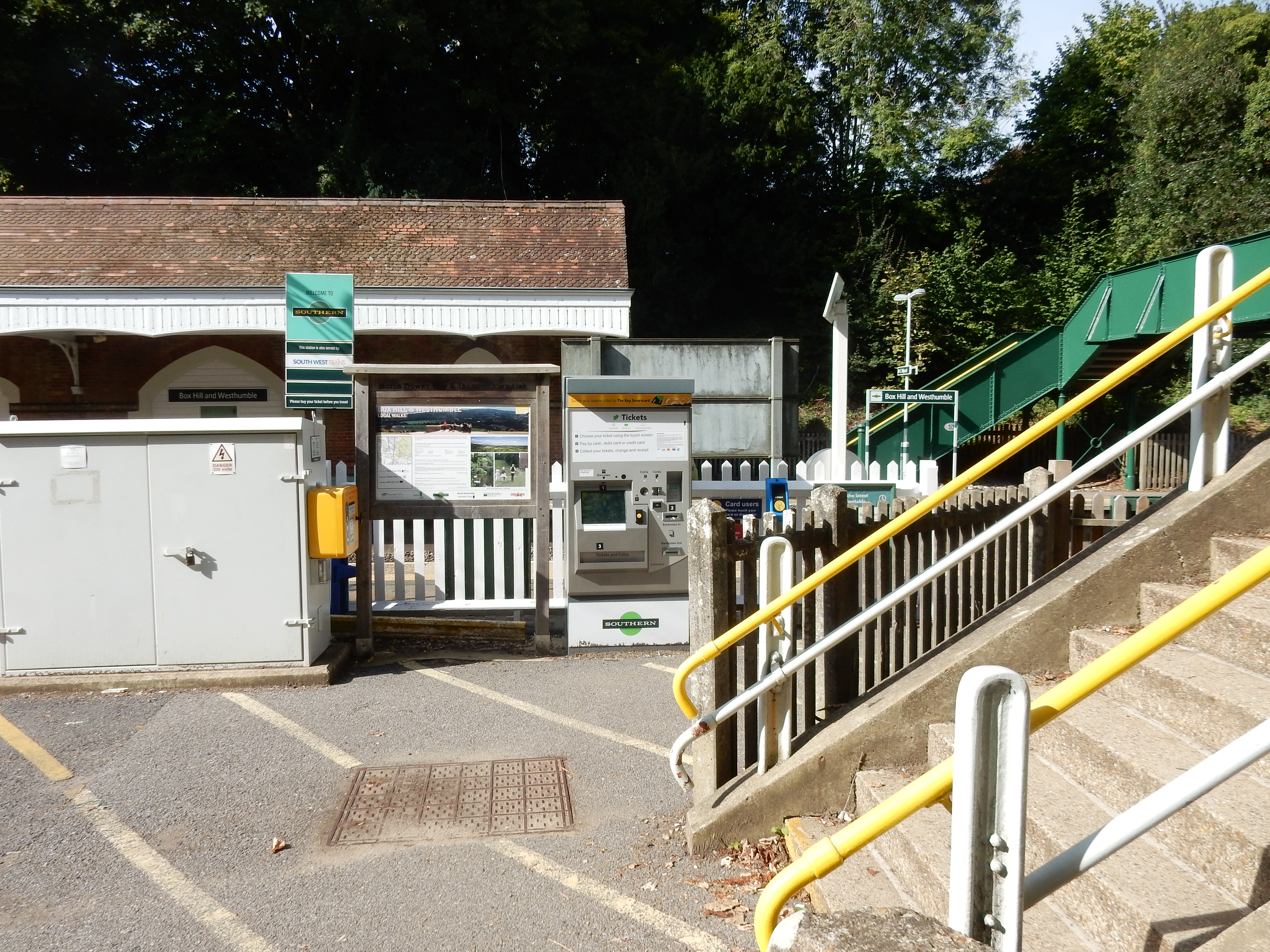
Parametric data
- Route name:
- BoxHill
- Start point:
- Box Hill rail station.
- End point:
- Redhill.
- This route on OS maps:
- https://explore.osmaps.com/route/18521366/ ...
- Distance:
- 10.7 miles walked, 7.6 miles flown.
- Duration
- 5.4 hours.
- Duration
- 5.6 hours.[1]
- Refreshments:
- Coffee at the NT Café on Box Hill and tea at Junction 8 kiosk, Reigate Hill.
- Ascent:
- 332 metres.
- Stiles:
- One. Nearing Walton Heath.
- Landmark of note:
- Inglis Memorial on Reigate Hill.
- Feasible excursion:
- If you're a braver man than I then go the whole length of Boxhill Road to save ¾ mile. See text.
- Weather:
-
 22°C,[2] ☀️
A smidge too warm, IMHO.
22°C,[2] ☀️
A smidge too warm, IMHO.
- Avoiding roads:
-
 About 120 metres of Rocky Lane.[3]
- Footpath construction:
-
 Perhaps of concern during Reigate Hill descent when icy.
- Footpath condition:
-
Unaccountably, in the wet,
some stretches
on Colley Hill may be traversed by 🛶 only.
- Vistas:
-
 The best
you will see. Twenty miles+ to the South Downs.[4]
The best
you will see. Twenty miles+ to the South Downs.[4]
- Blackberries:
-
Yay! The
stretch
nearest the M25 could feed an army. Colley Hill has
some too. Don't ask what their lead content is.[5]
Route map.
Walk notes.
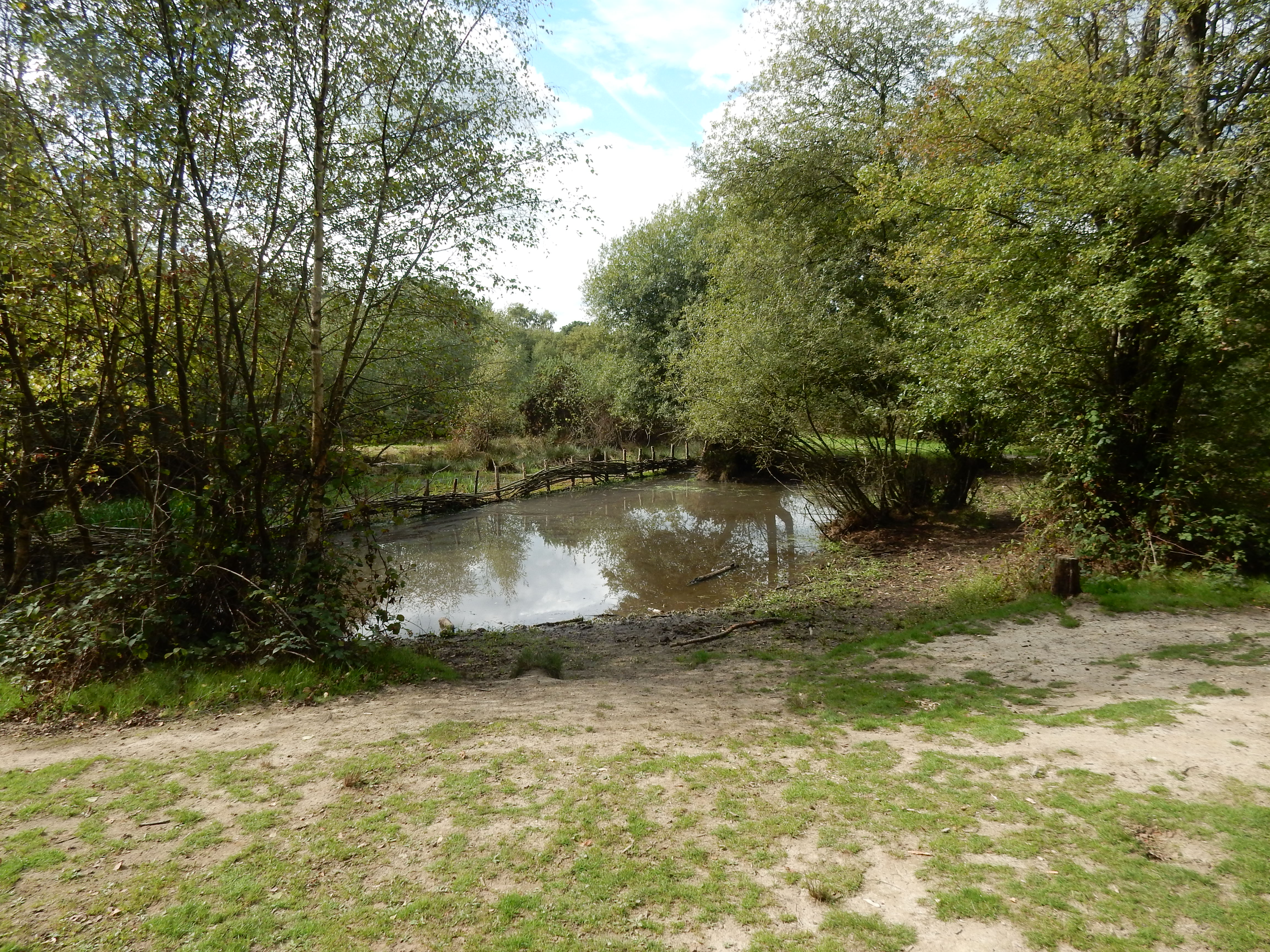
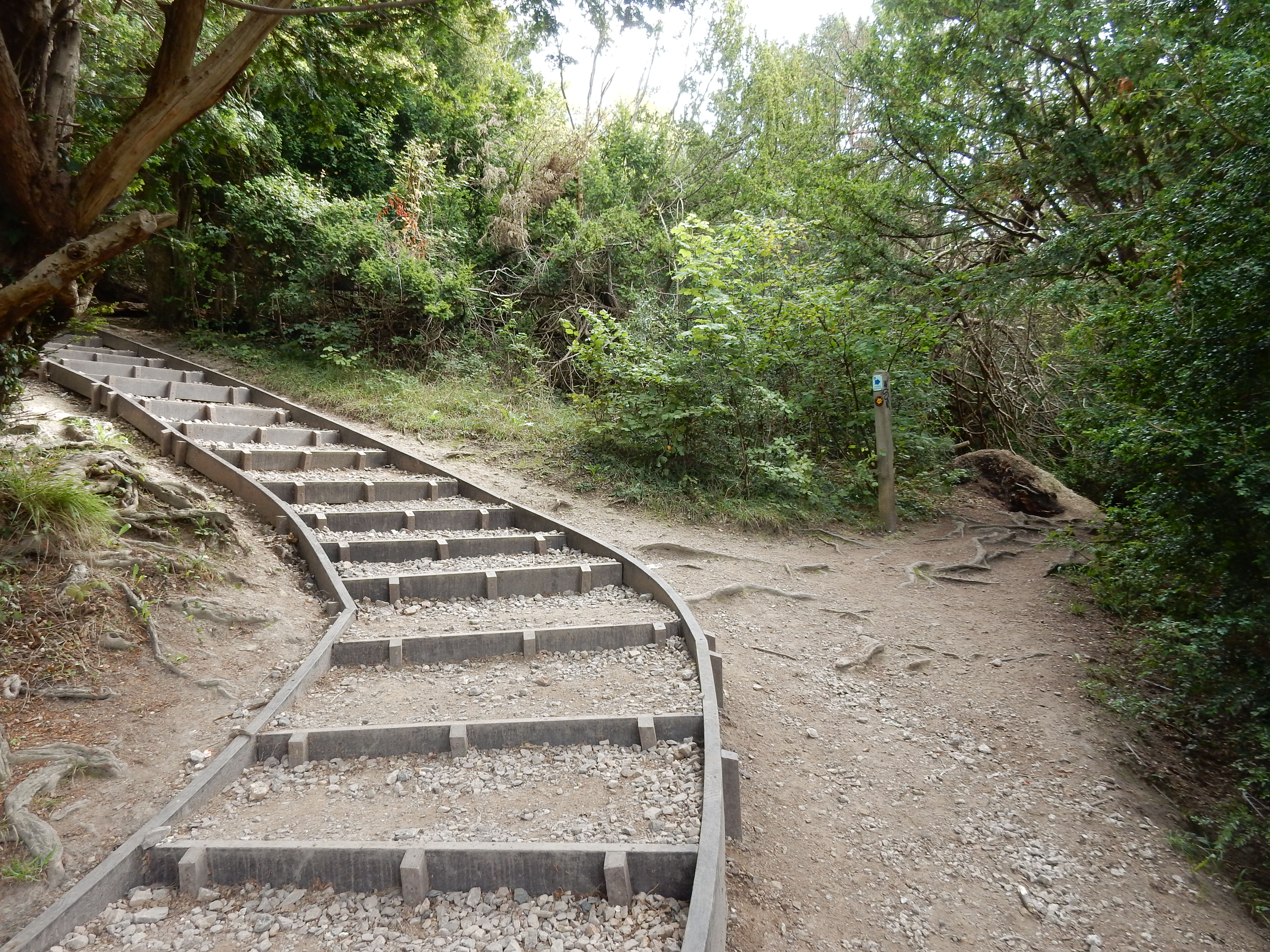
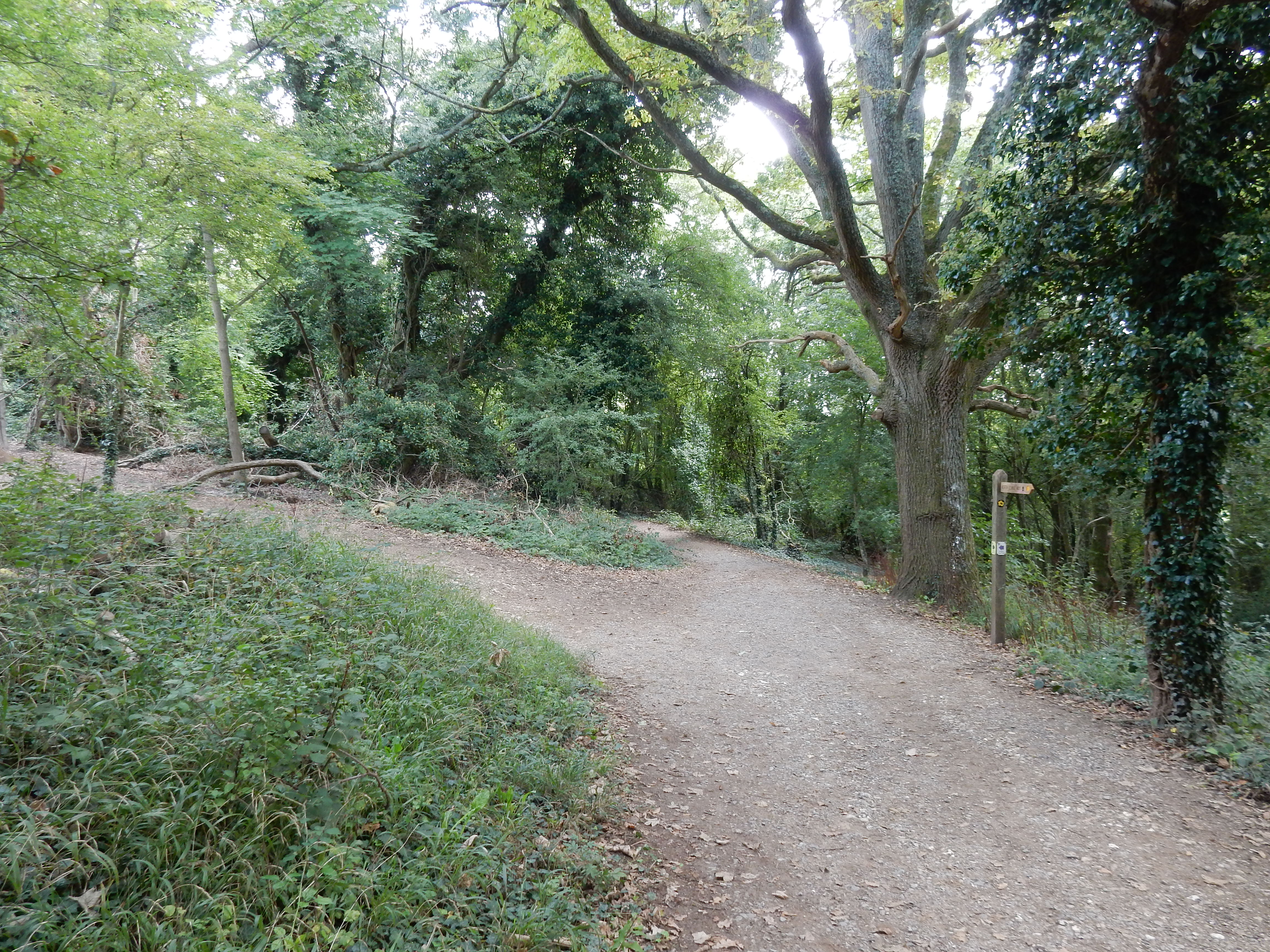
This walk is not the first attempt at similar endpoints. Firstly, there was an earlier one from nearby Dorking. The route then took the low road along the Mole valley. A following hike started from Box Hill station but, by contrast, was inclined (ha!) towards higher ground. After leaving the subway under the A24, it headed right towards the famous stepping stones over the Mole, and continued with an ascent of Box Hill, along much of Boxhill Road, and descended only after Gatton. That was a pretty reasonable path and will bear repeating someday when I feel fit enough. Here are photos of the path leading upwards, Chanctonbury Ring on the horizon, the fork left after a few metres to avoid temporary descent, the approach to Boxhill Road.



If, however, Boxhill Road is not your cup of tea, then the alternative suggestion (by the OS) here is worth consideration. This one turns left under the A24 and heads north, past the Burford Bridge Hotel and the start of the Zig Zag Road. All tarmac and gentle gradients. Nice, except that the OS didn't want the right turn at 51.2597,-0.3225, but continued on to Headley Lane which not only is without a footway but also without any useable verge. OK, it's not the M25, but it still isn't nice. The scenic route also has Broadwood's Tower for you to check out.
This highlights a general issue with NT land at Box Hill. Over the years, the NT maintained or created routes across its land in a pragmatic way that did not necessarily follow the ancient paths that the OS is obliged dutifully to record. You must expect that the two schemes no longer exactly align at all points. When the map and the terrain disagree, trust the terrain.
This northerly route goes through some relatively remote, unspoilt and peaceful parts of Surrey, such as Warren Farm here. This is a mile from the A24 and two miles from the M25; you may even detect the sound of some bird at this spot. Incredible, but true. Temperatures of 30°+ might have dissuaded other visitors, and I found the shoulder room adequate. As you make your way past High Ashurst, watch for the sharp left shortly before it. The NT has multiple warning notices hereabouts dissuading the walker from disturbing sheep. It neglects, however, to warn human visitors that, after the gate, they face a DAB. Would half a dozen steps break the bank? It appears my neck is a more suitable subject for disintegration.
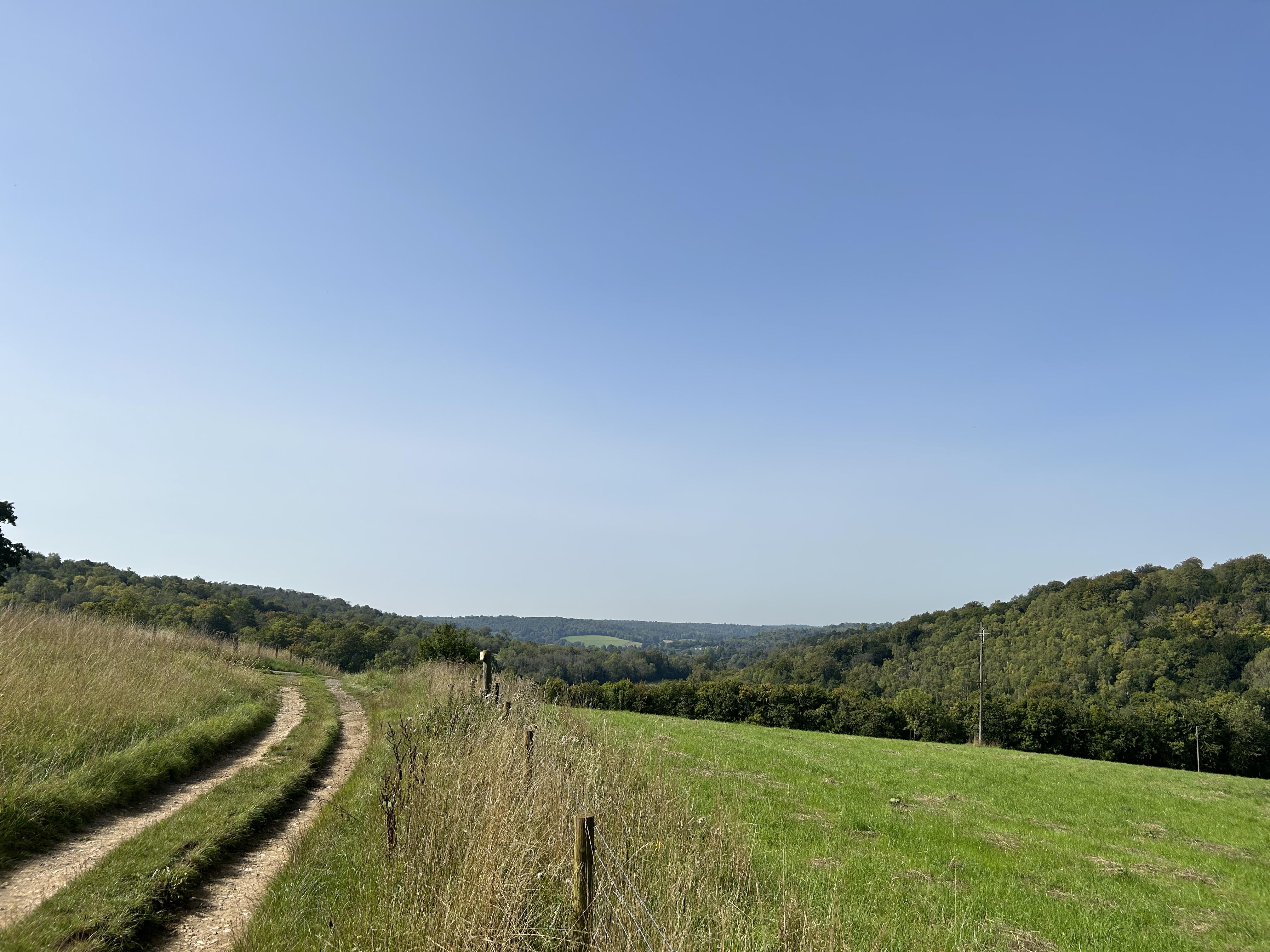
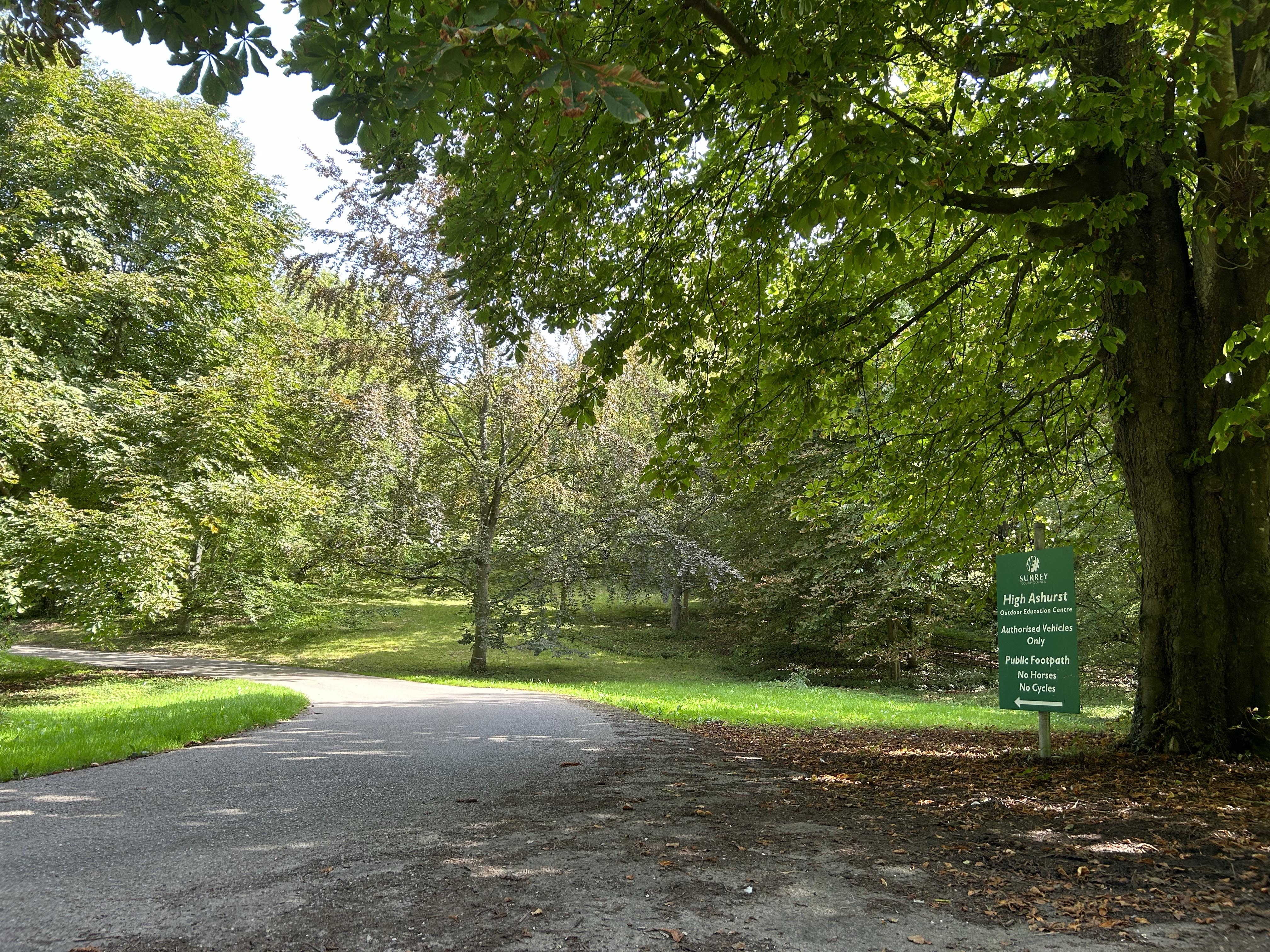
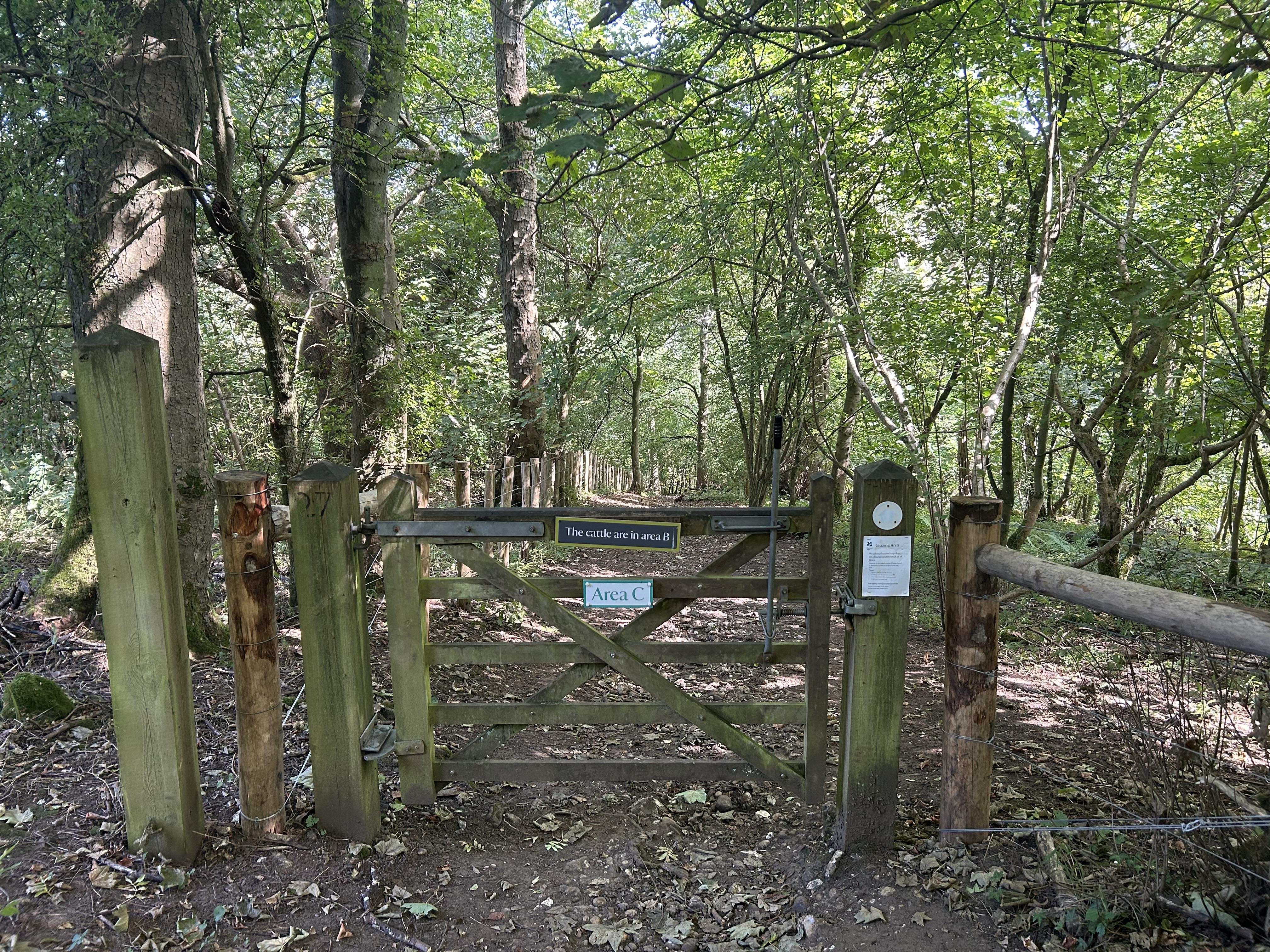
At the bottom (if you are still in one piece) turn left and begin an ascent towards the five-ways crossing at the top of the valley. There is a seat here that invites a stop for lunch, while taking in some particularly fine views. From here, it is but a short stretch over to the NT car park at Headley Heath. This is where the earlier (south inclining) route joins this one. Hop across the B2033 to Tye Lane leading towards the B2032/M25 at Walton Heath. Tye is bad during wet weather, but it was dry on the day. Watch for the right turn across the field at Frith Park. The path across the field here is indiscernible to my eye, but the GPS finds the gap in the hedge at the far side nicely.
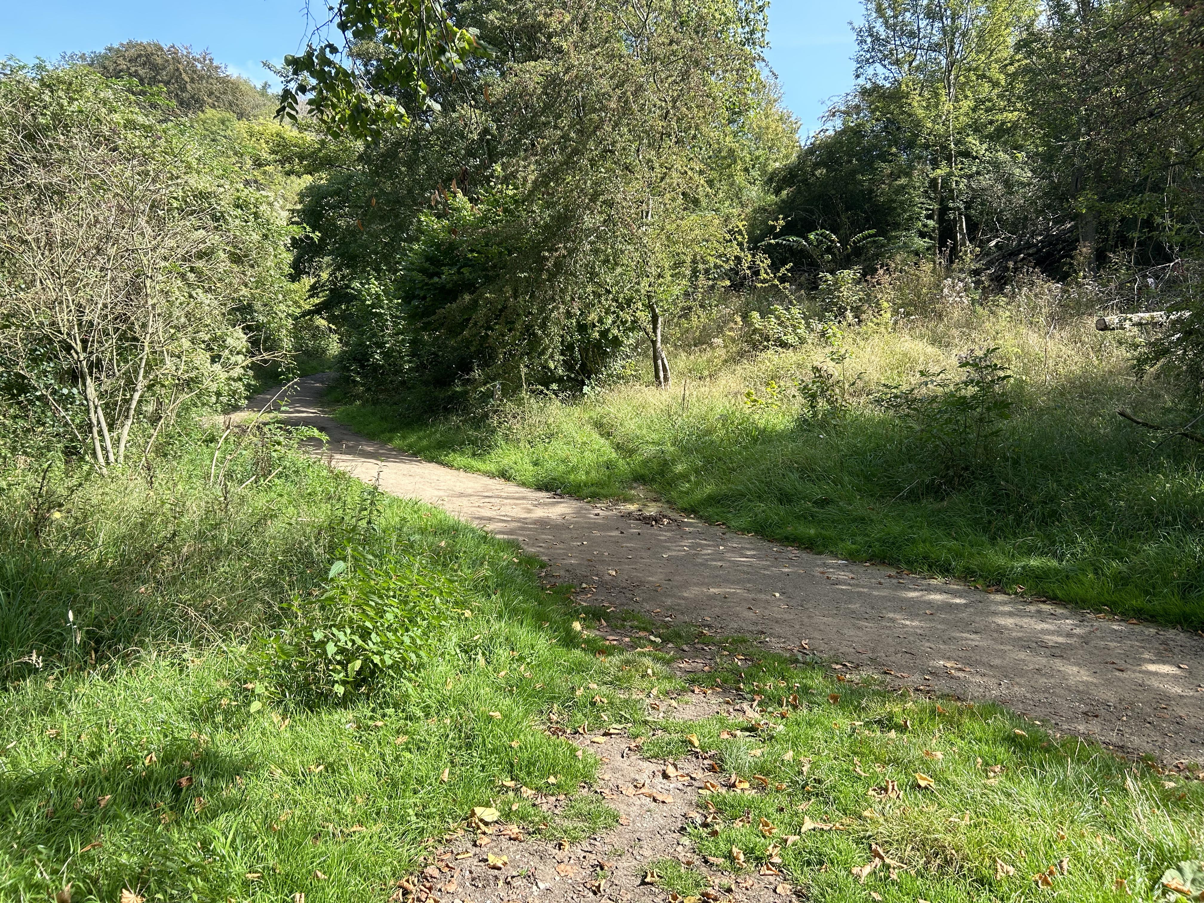

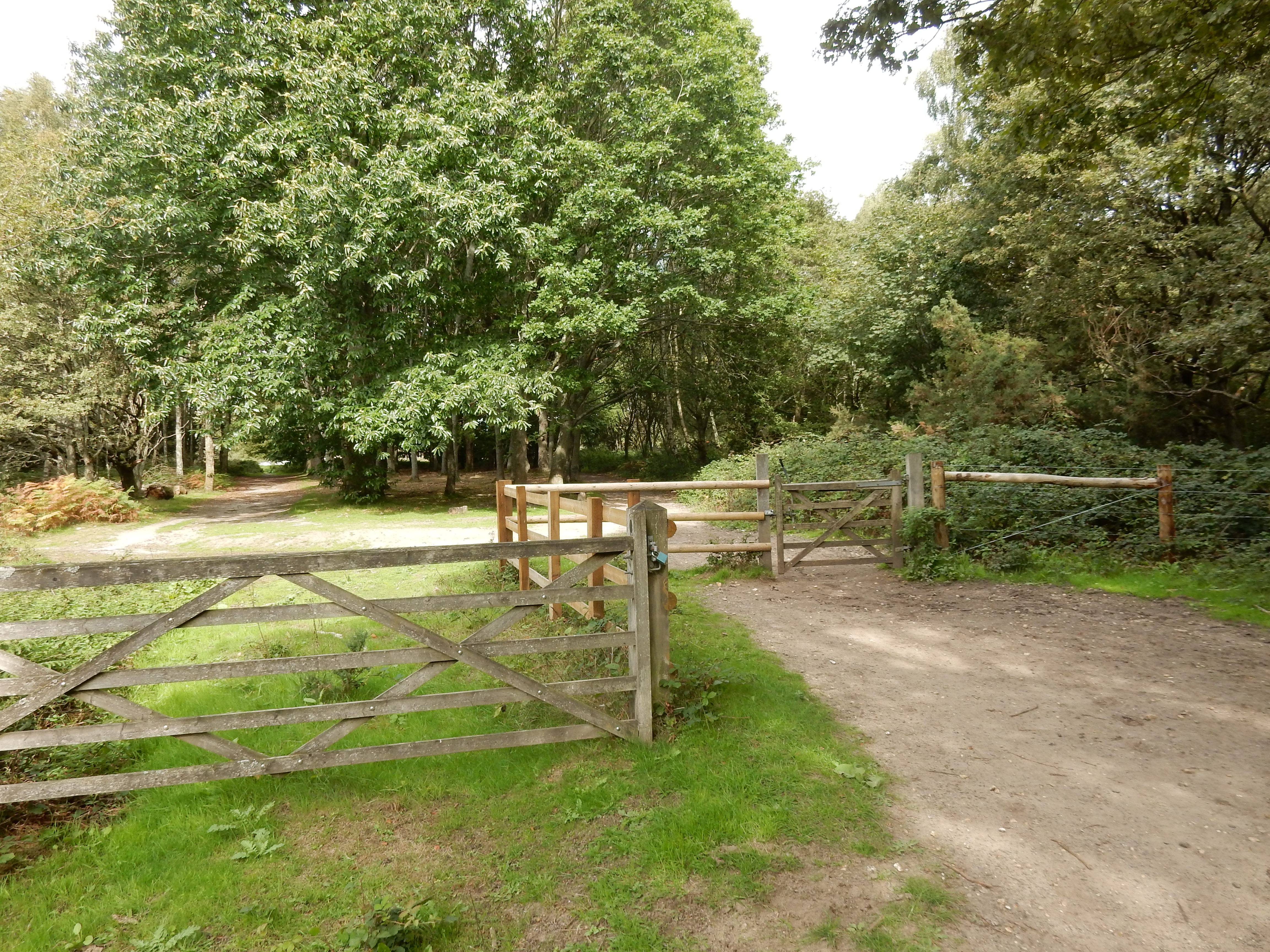
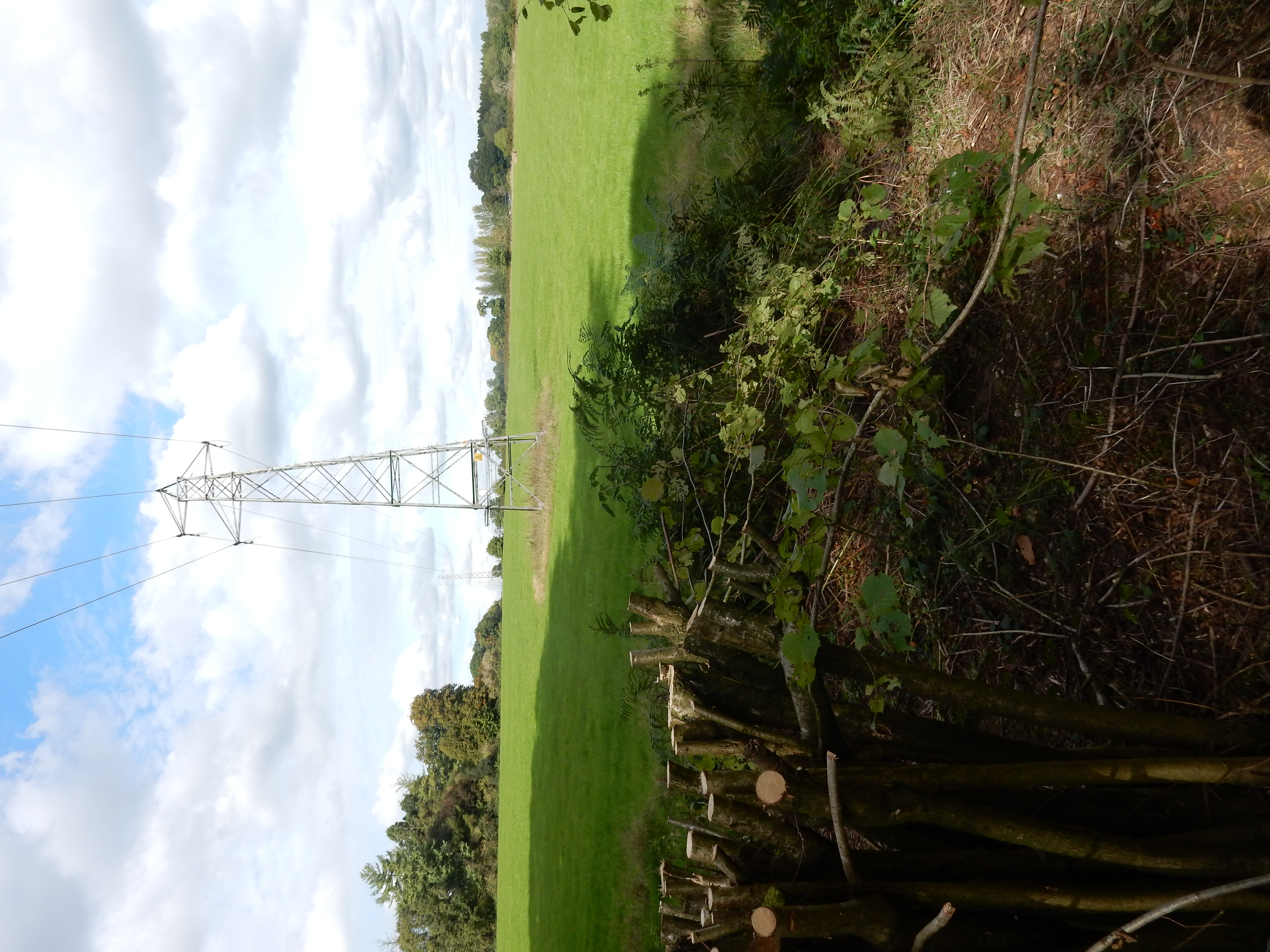
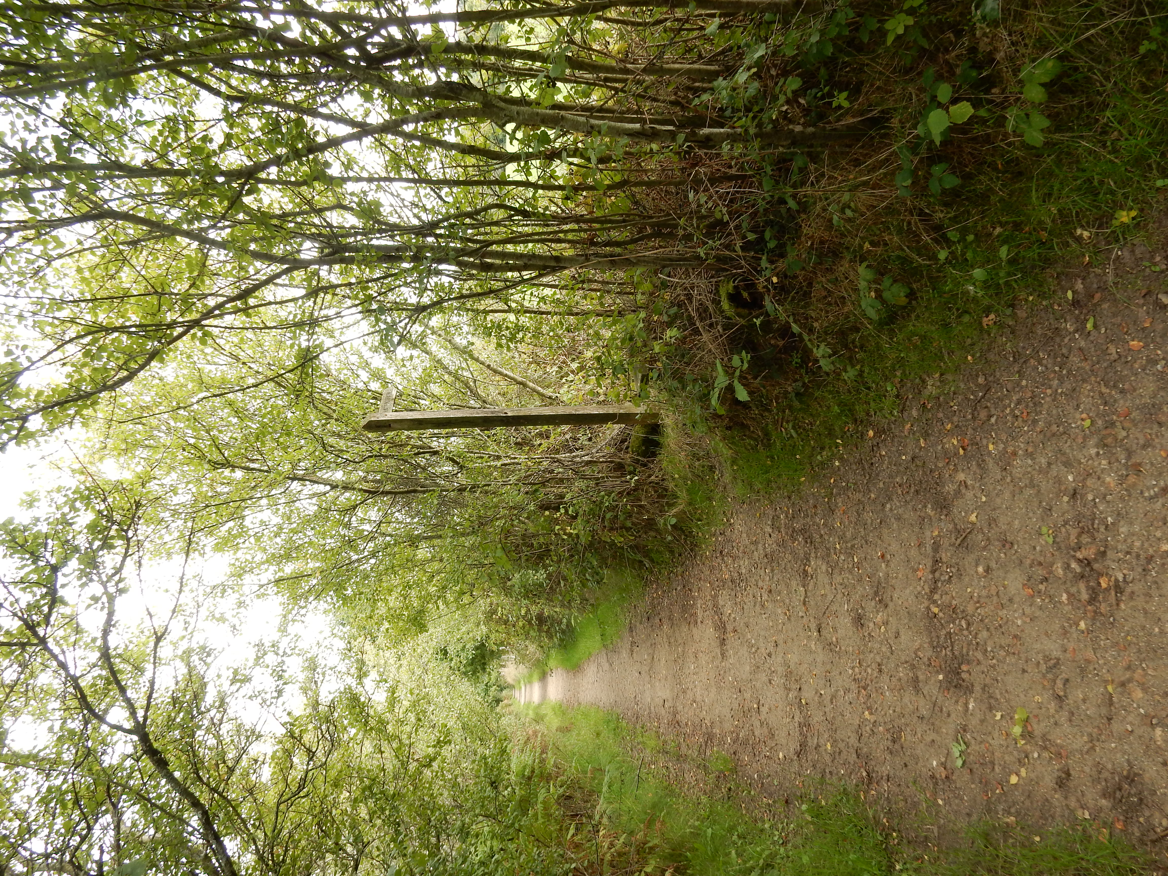
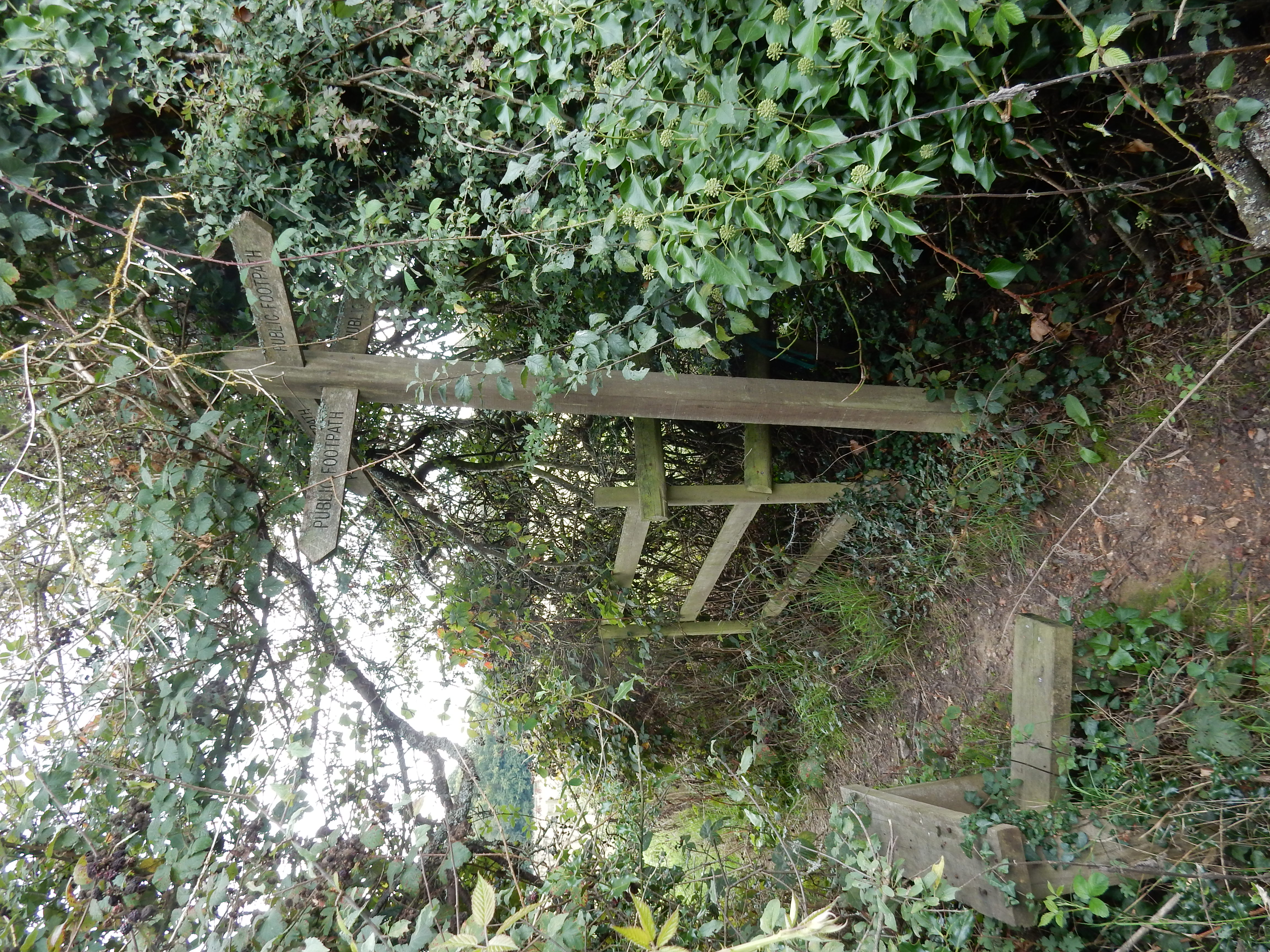
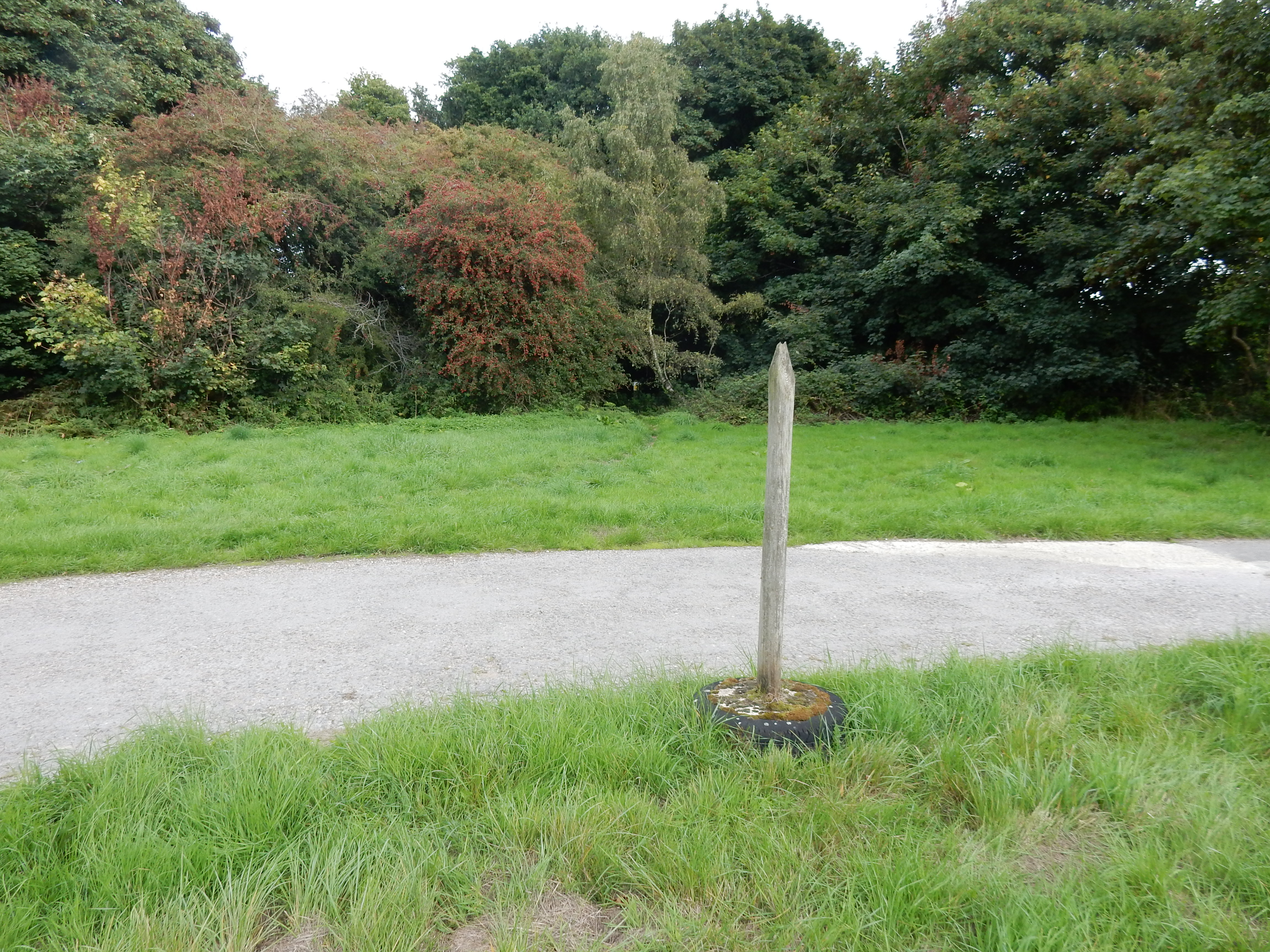
From here on you are provided with an unfailing navigational aid known as the M25, a left earful of which accompanies your trip all the way to Gatton. Joking aside, no serious directional problems should arise on this middle section, except here, going past Hermitage Lodge. It seems that the SP is broken. The path goes on to cross three drives leading to the isolated properties on Colley Hill where you are again on the North Downs Way. If, at this stage, you feel in need of restoration or renewal then join The Inglis Memorial in attaining some stabilisation of your condition, perhaps at the Junction 8 Kiosk on Reigate Hill.

Suitably refreshed, contemplate a descent at Gatton. There are several ways to come down it, none of which quite ticks all the boxes. The route shown is not the shortest, but neither is it the steepest. Depends how you're feeling, and the condition of the path beyond the School. The North Downs Way can be followed through the golf course at Reigate Hill - at least, in the dry. However, under no circumstances follow the OS suggestion of Rocky Lane south of the NDW. Forget that.