
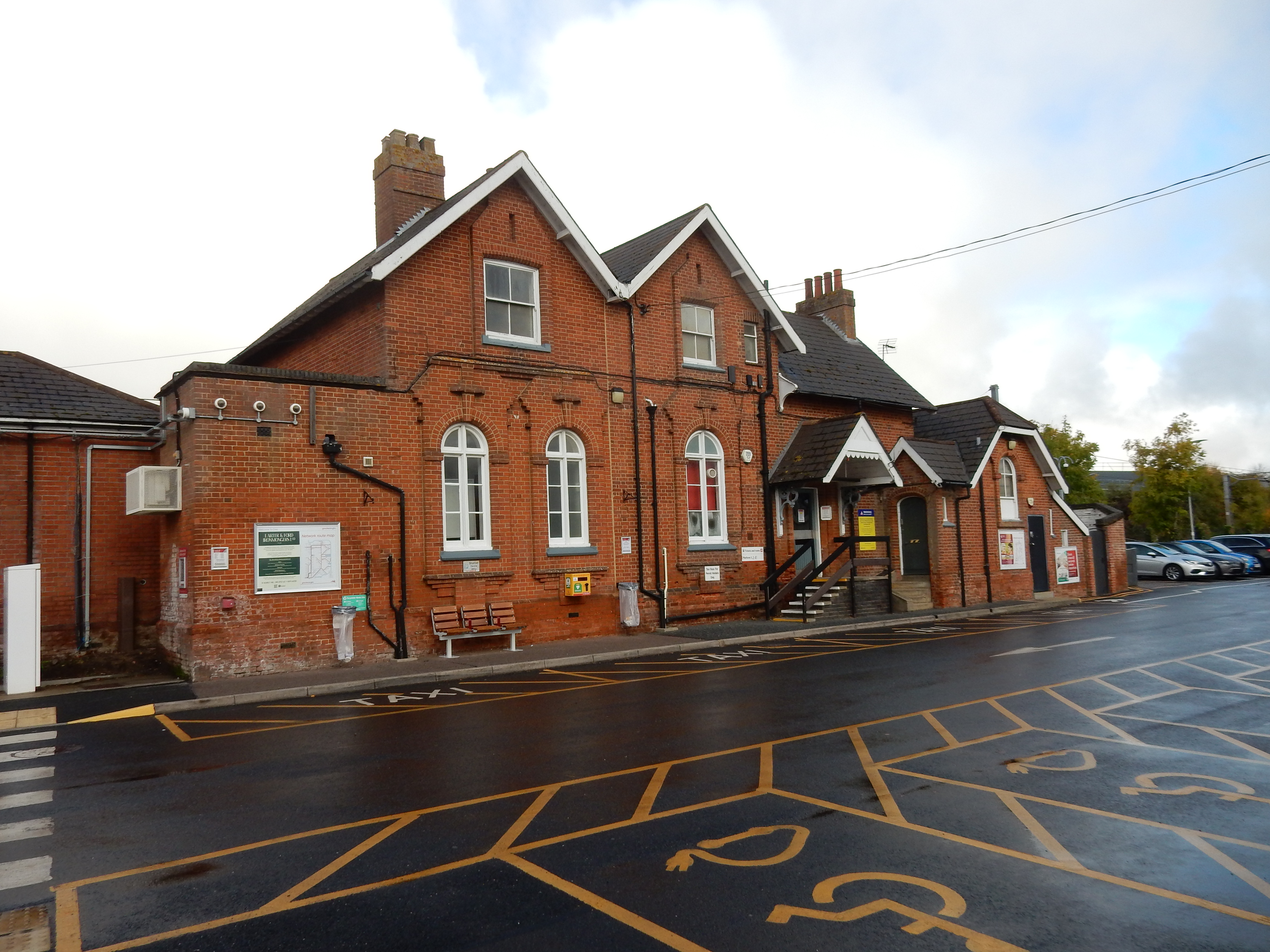
Parametric data
- Route name:
- Diss
- Start point:
- Diss, also shown on W3W.
- End point:
- Wymondham, also shown on W3W.
- Synopsis:
- A medium distance route offering a variety of walking surfaces. Not popular; even with dog-walkers. There are no hills, little woodland, and the scenery is predominantly agricultural. Endpoints excepted, there are no main roads, but over ⅓ is country lane walking, albeit with good verges and little traffic. Navigation is complex, and occasionally devoid both of a visible path and adequate signage. Although relatively dry and mud-free, the route is overgrown and neglected in places.[1] The final approach to the A11 needs further research.
- This route on OS maps:
- https://explore.osmaps.com/route/28754718/ ...
- OS Explorer sheet ref(s):
- 230 and 237.
- Distance:
- 16.4 miles walked, 13.2 miles flown.
- :
- 6.9 hours.[2]
- Ascent:
- 93 metres.[3]
- Stiles:
- 2.
- Landmark of note:
- Disused storage tank at the airfield.
- Feasible excursion:
- From Bunwell onwards is untried alternative to the original route. See notes.
- Waypoints:
- Walcot Green, Burston, Bridge Green, Gissing, Tibenham, Bunwell Hill, Bunwell, Ashwellthorpe.
- Fuel:
- Packed lunch at the edge of Tibenham Airfield.
- :
-
 12°C,[4] ☁️
Overcast, autumnal, with a bit of drizzle.
12°C,[4] ☁️
Overcast, autumnal, with a bit of drizzle.
-
Free of in-road walking: -
 The original route may have scraped in with a 2, but
Silfield Road is not good.
The original route may have scraped in with a 2, but
Silfield Road is not good.
-
Footpath construction: -
 A lot of unmade.
-
Footpath condition: -
Much overgrown or simply invisible.
-
Vistas: -
 From the dizzy heights of Bunwell Common you can almost see
to the end of the lane.
From the dizzy heights of Bunwell Common you can almost see
to the end of the lane.
Blackberries:-
Too late, and a poor season anyway.[5]
Route map.
Walk notes.
Yes, the leg division, Mr Spiggott. You are deficient in it to the tune of one.Peter Cook.
Nor will it really do to moan that there is barely enough daylight left this year for a 16 mile hike; a glance at the calendar would tell anyone that. No lament, either, that insufficient time to plan the walk was available - I've known for months that the opportunity would arrive. Nearer home territory, I would be able to rail against Southern Trains[6] for a late running or cancelled service, but Greater Anglia lets me down with a departure of the 08:22 from Sheringham at 08:22 precisely. What are they playing at? I'm afraid you may have to settle for a shake of my fist at Norfolk County Council for allowing this route to become overgrown. Sorry, that may have to do.
What? Don't tell me to get on with it. Look, I'm on holiday in East Anglia, and under no obligation to rush anything: walking or otherwise. OK, here we go ...
The first ½ mile is paved, a bit complicated, and takes
you to Frenze Hall Lane just before the rail bridge on the line
back to
Norwich.[7] Here, you run out of pavement, and you won't
get all that much of it again until Wymondham. A little further
on, after Walcot Green, you run out of road entirely, and find
yourself on unmade track for the first time. If you can
find the
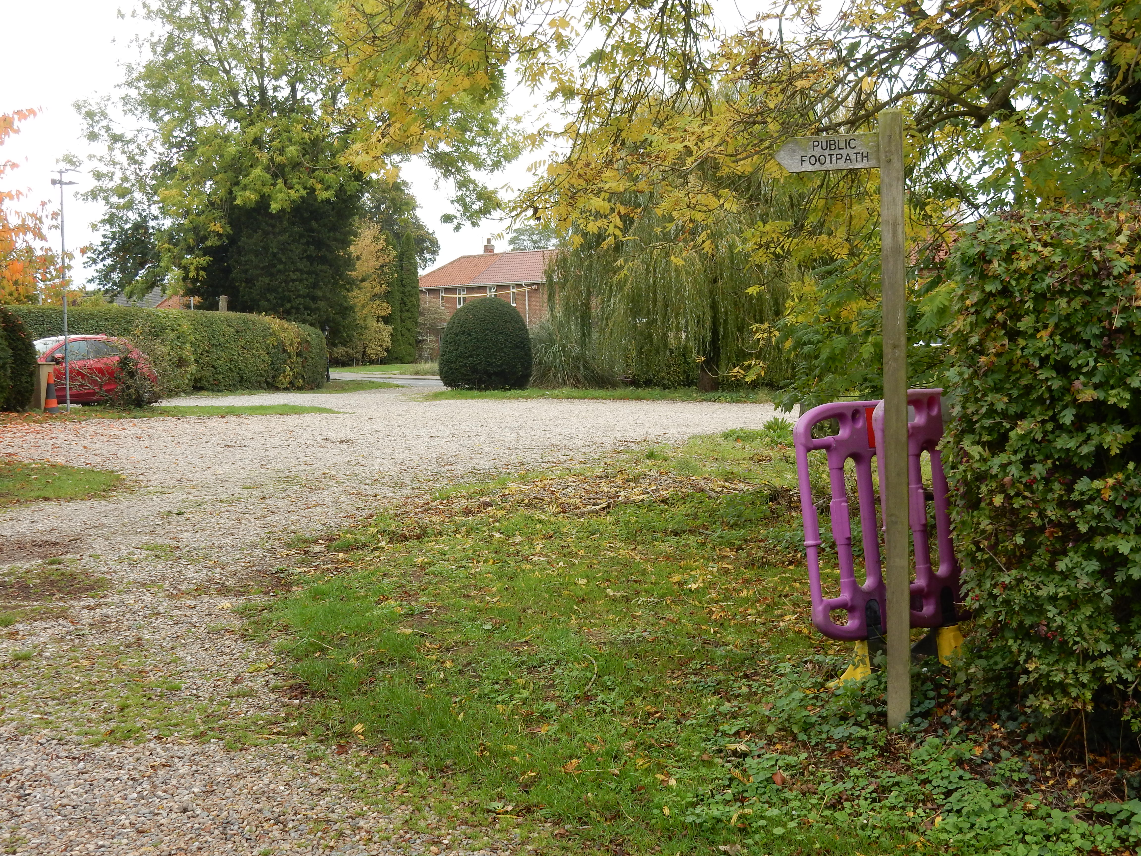
left turn there, that is. This rather sets the pattern for the remainder
of the walk. In another two years the finger post will be
completely submerged in the brambles, and the start of the path
will not indistinguishable from the tree to the left. At the
other end of this footpath, in
Burston Road, the finger post is long gone and you would never know a
path was there at
all.[8] Sadly, this is not just normal for Norfolk these
days. Everywhere else suffers from cutbacks, but the vegetation
doesn't. All you can do is keep a close eye on the GPS.
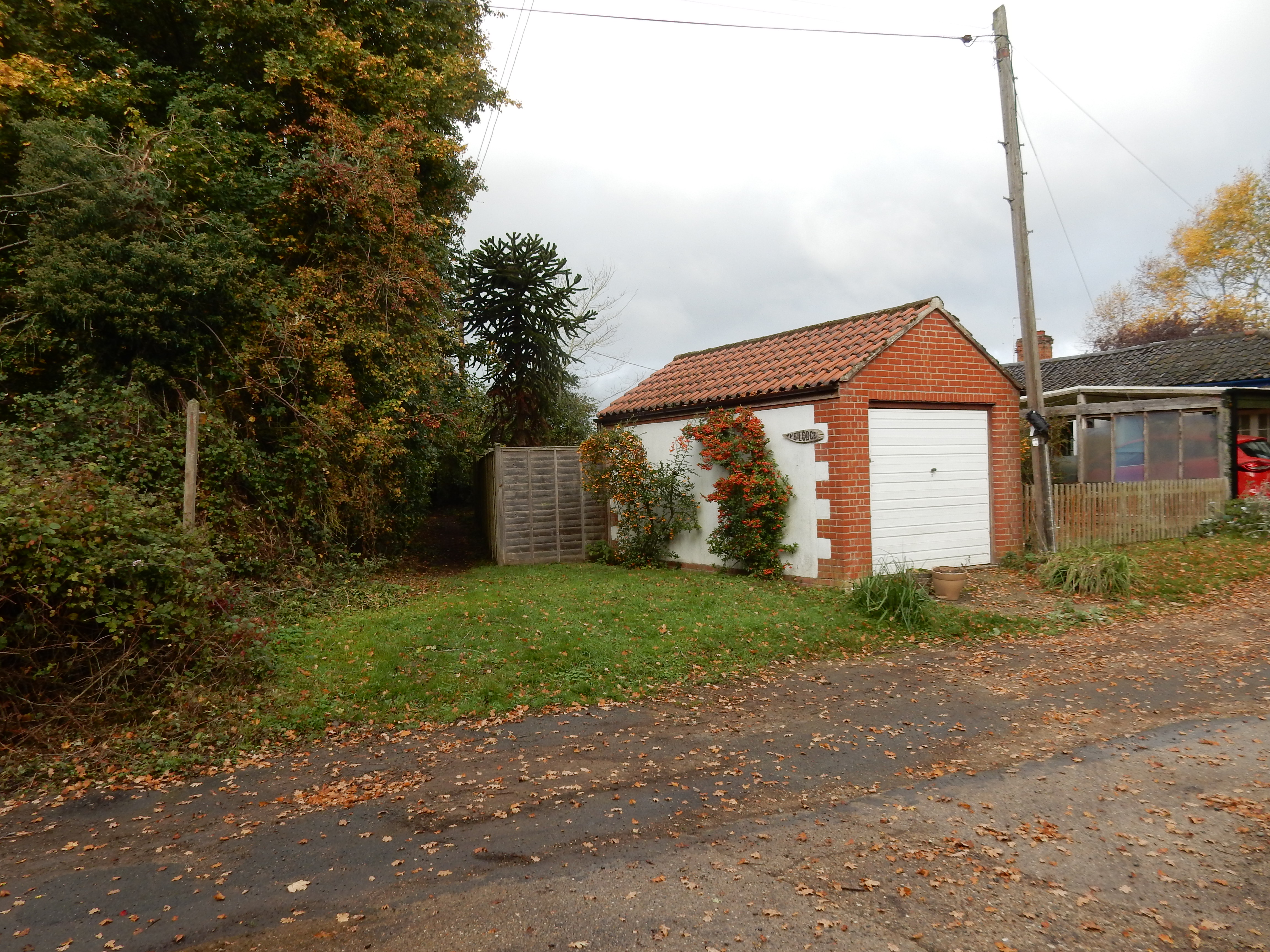
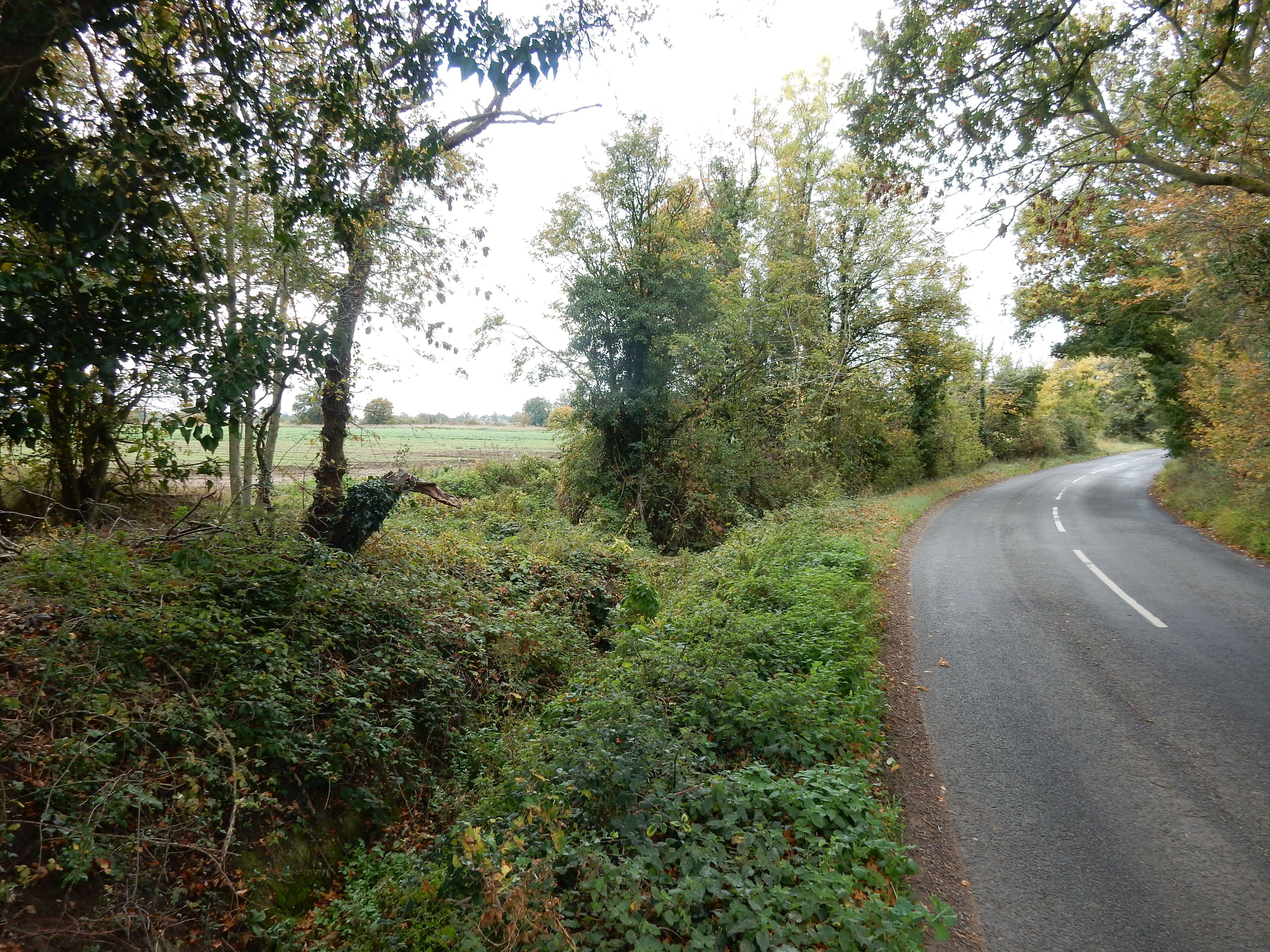

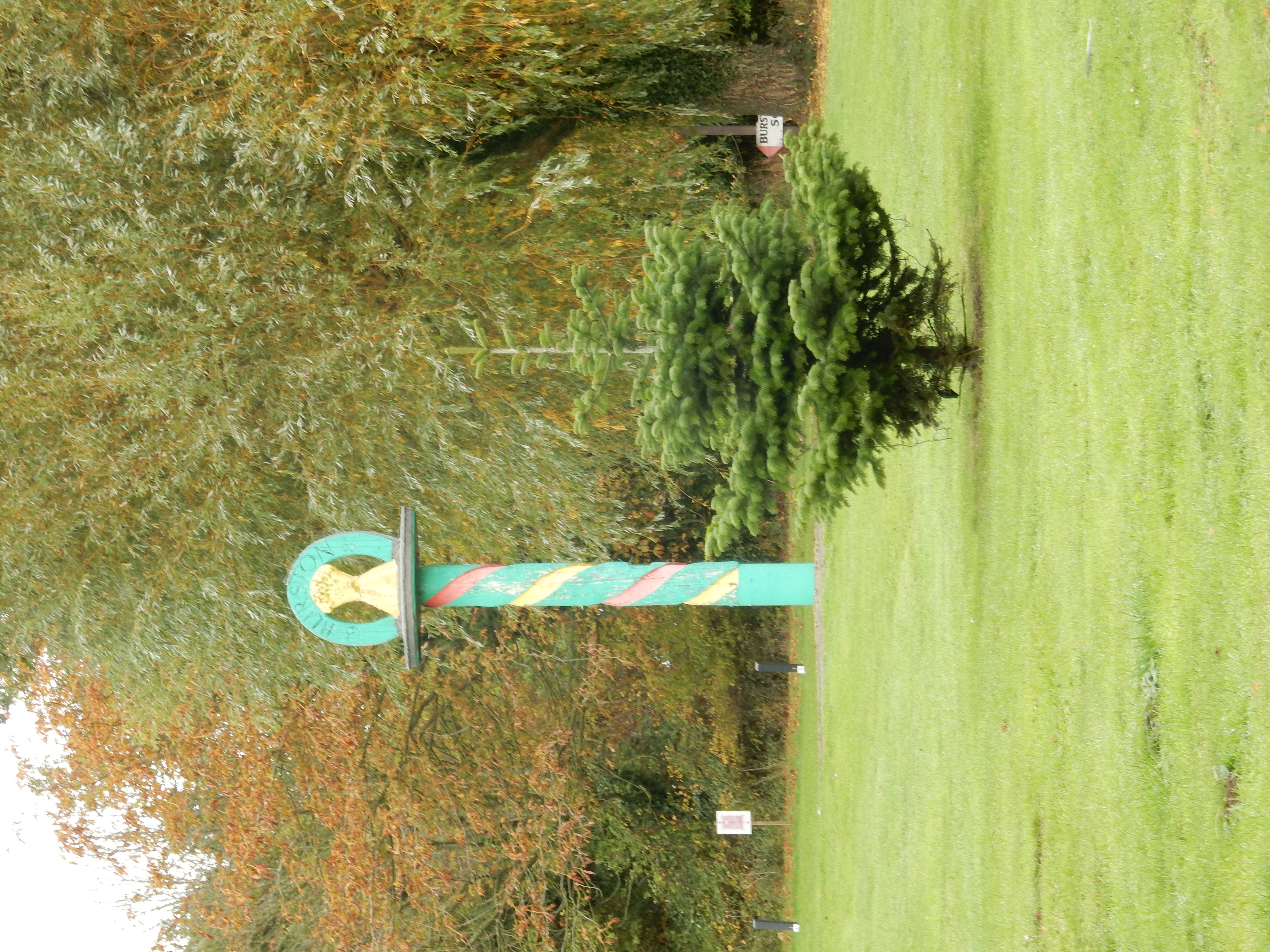
½ mile after I get the green light, I go off road again; cutting the corner off Durbridge's Hill as it heads over towards Market Lane and Burston. On arrival there I am confused by the sign pointing to Audley End. I have vague recollection of having visited the grand house taking that name, but do not remember it being in Norfolk. It turns out not to be that Audley End at all; just a hamlet on a road also by that name. The walk route then goes around the car park for the Burston Crown: a rather substantial PH for a village of this size. Thoughts of a stop for coffee are dashed by the usual 12:00 opening time. It almost takes an hour to locate the route continuation out of Burston. Round to the right of the pub goes nowhere, you need the narrow alley down the left of the private house just ahead. If you check out the OS map in this vicinity then you may notice that almost every old manor house and hall is protected by its own moat. I am without an explanation for this historical curiousity. Did something in this region's past necessitate fortification? Thinking back, I also passed one at Walcot Green. Hmm.
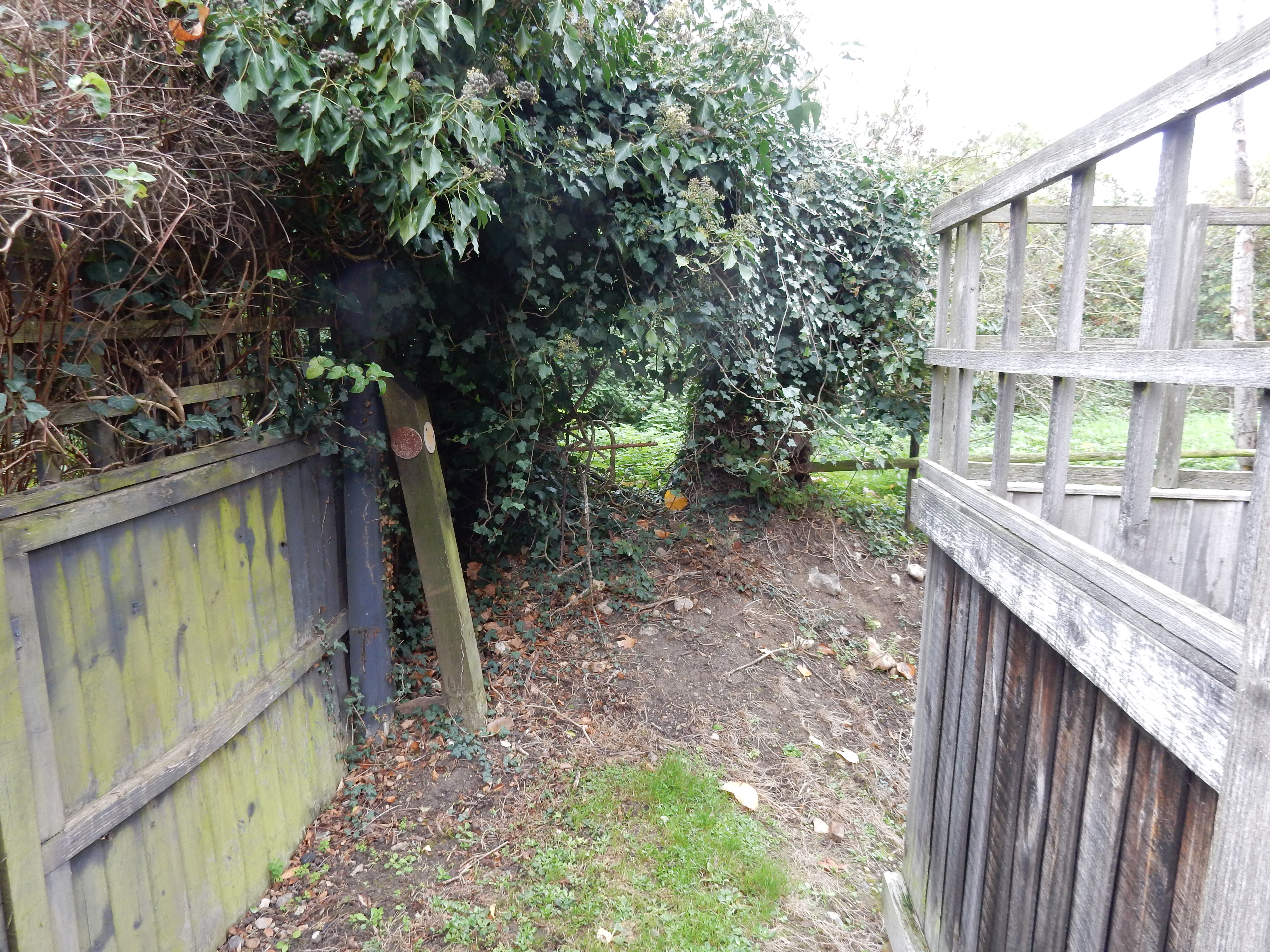
Between Burston and Bridge Road, progress is difficult. There are large fields to cross that have been ploughed up, and crops sown. No trace of a footpath whatsoever. Under these circumstances I normally try to walk the field edge, but this would have added nearly ⅓km to the walk.[9] Despite a glance at the OS route, I fail to find the exact line. With hindsight, the better option would have been to continue along Crown Green, turn left into Gissing Road and then left into Bridge Road. An admission of defeat, really, and not something that goes down well with cracker-barrel psycholgists on social media, but I'm cool with it.
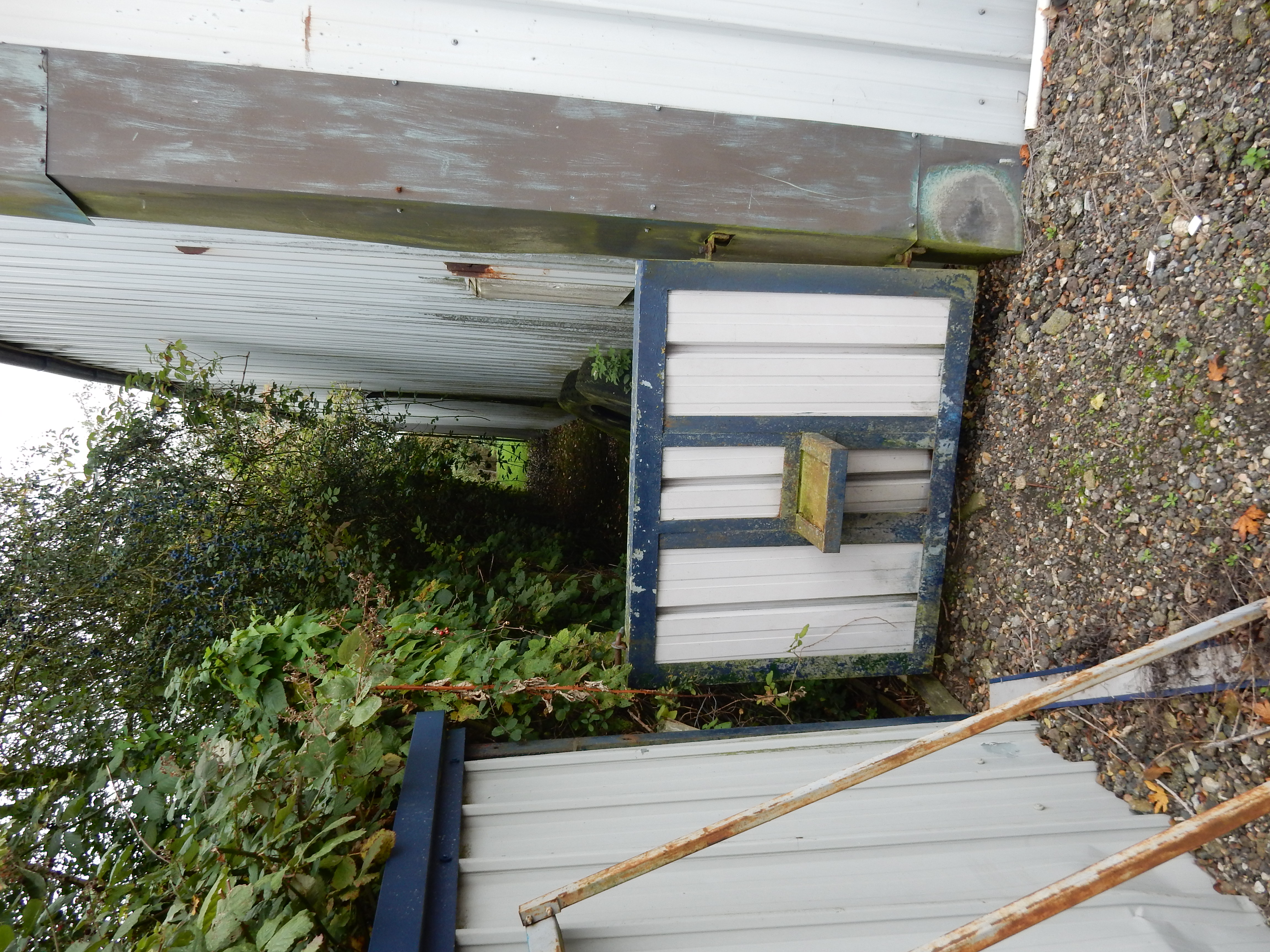
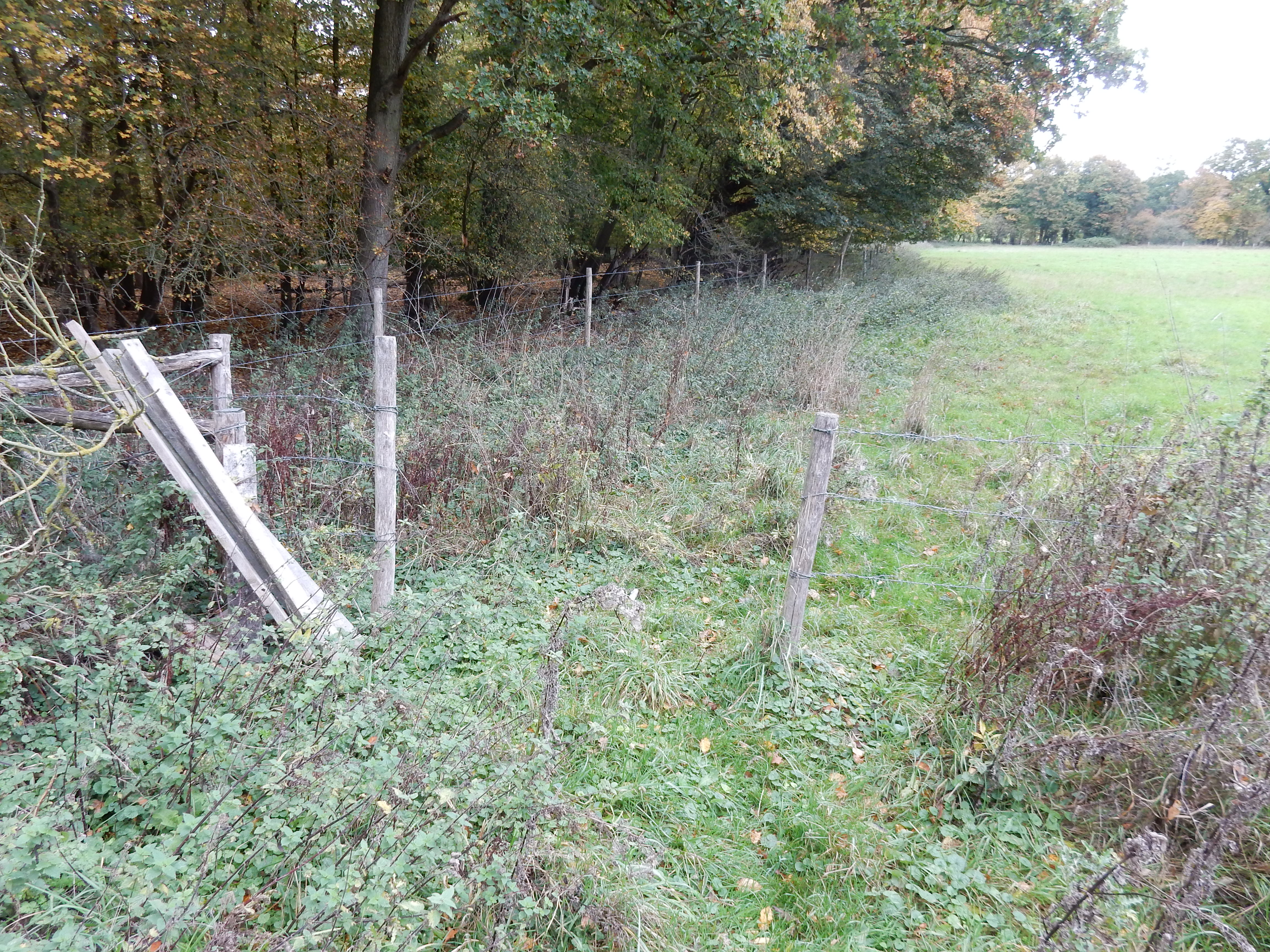
It takes me twenty minutes to cross those two fields yet, on arrival in Bridge Road, I'm facing another head-scratcher. Absent any clear guidance from signage, it is not at all obvious that the PRW continues down the side of this barn. After a bit, the land-owner emerges to confirm that it does. What looks at first glance like a rather wacky stile is, in fact, a gate. Through I go. Any hope hereafter that the route will become easier to discern is soon dashed. AFAICS, no one has walked it for weeks. A pity, really, because the autumn colours please the eye and, as mentioned earlier, there isn't too much woodland in these parts. Most walking in Norfolk enjoys little shelter from cold wind off the North Sea. While in 'whinge mode', why does a fence that persists in this condition need to be made from barbed wire - never something a rambler likes to stumble upon?
The next stretch, over Gissing Common, is also devoid of wind break and is so pancake flat that you could put an airfield on it. It is also rather short of a visible path. Those trees on the horizon are ½ mile away. The official line of the path (see it?) is not quite straight toward the edge of the marginal crop[10] jutting out from the left. Footnote as before. From here you can make out a break in the old growth about ¼ of the way from the left. I don't see how to get to it, and instead go to the right - which leads to a dead end, rather than this. 340 metres west along the B1134 there is yet another inconspicuous turn, leading past Old Barn.[11] As may also be apparent from this shot, any walker hoping to encounter others on the same route faces an extended wait. Footnote as before. BTW, this is the way to go. No kidding.
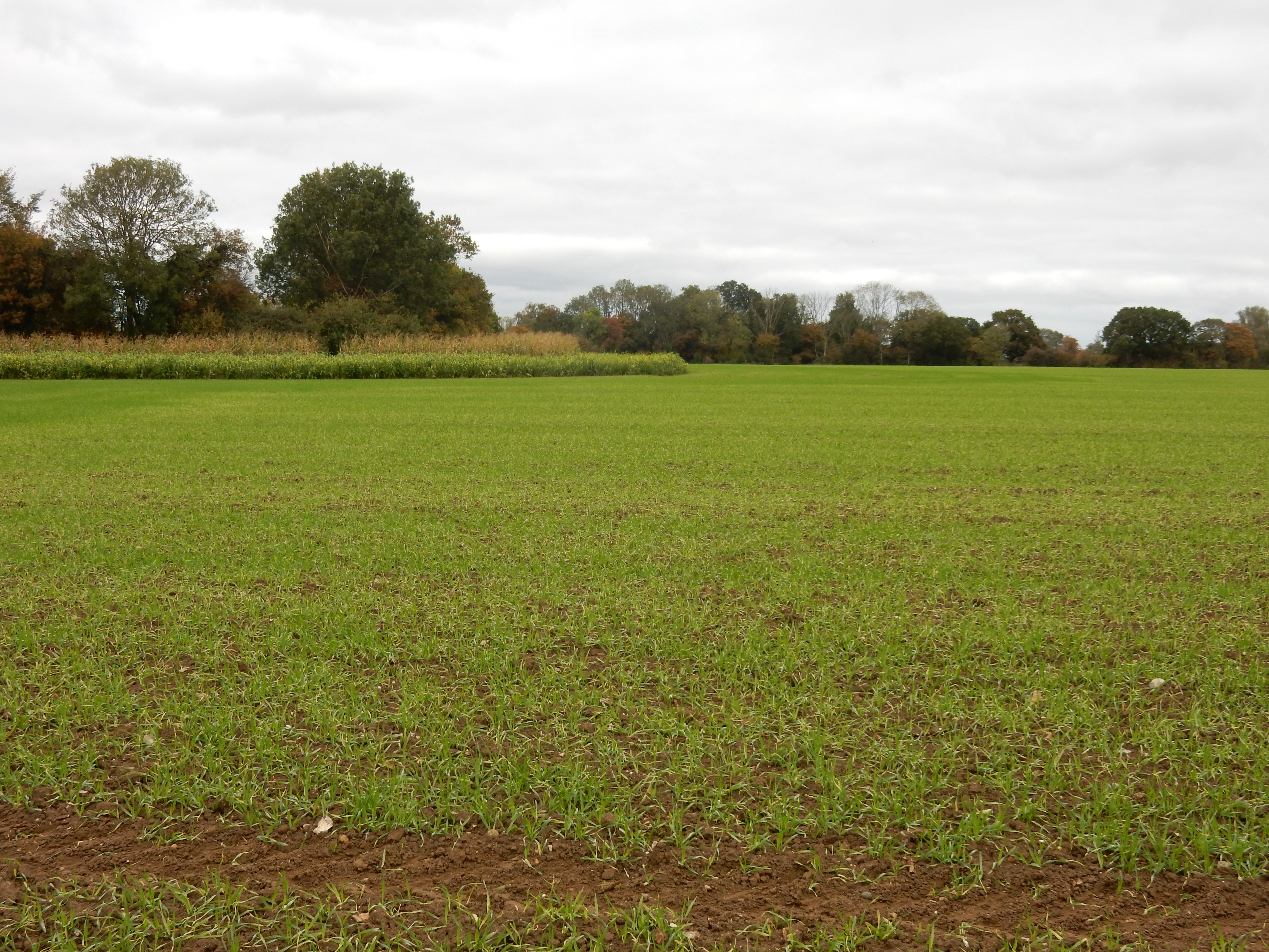

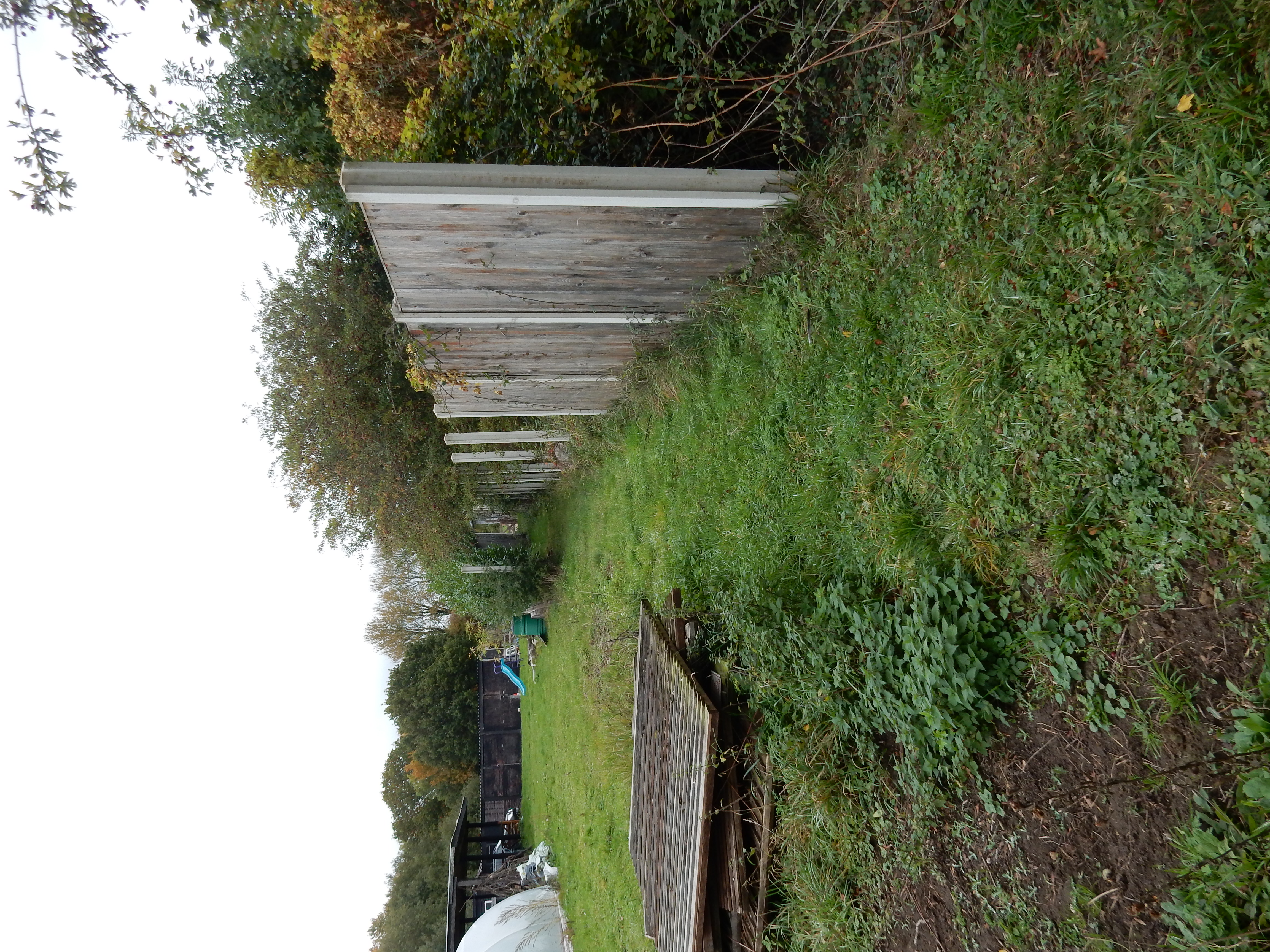
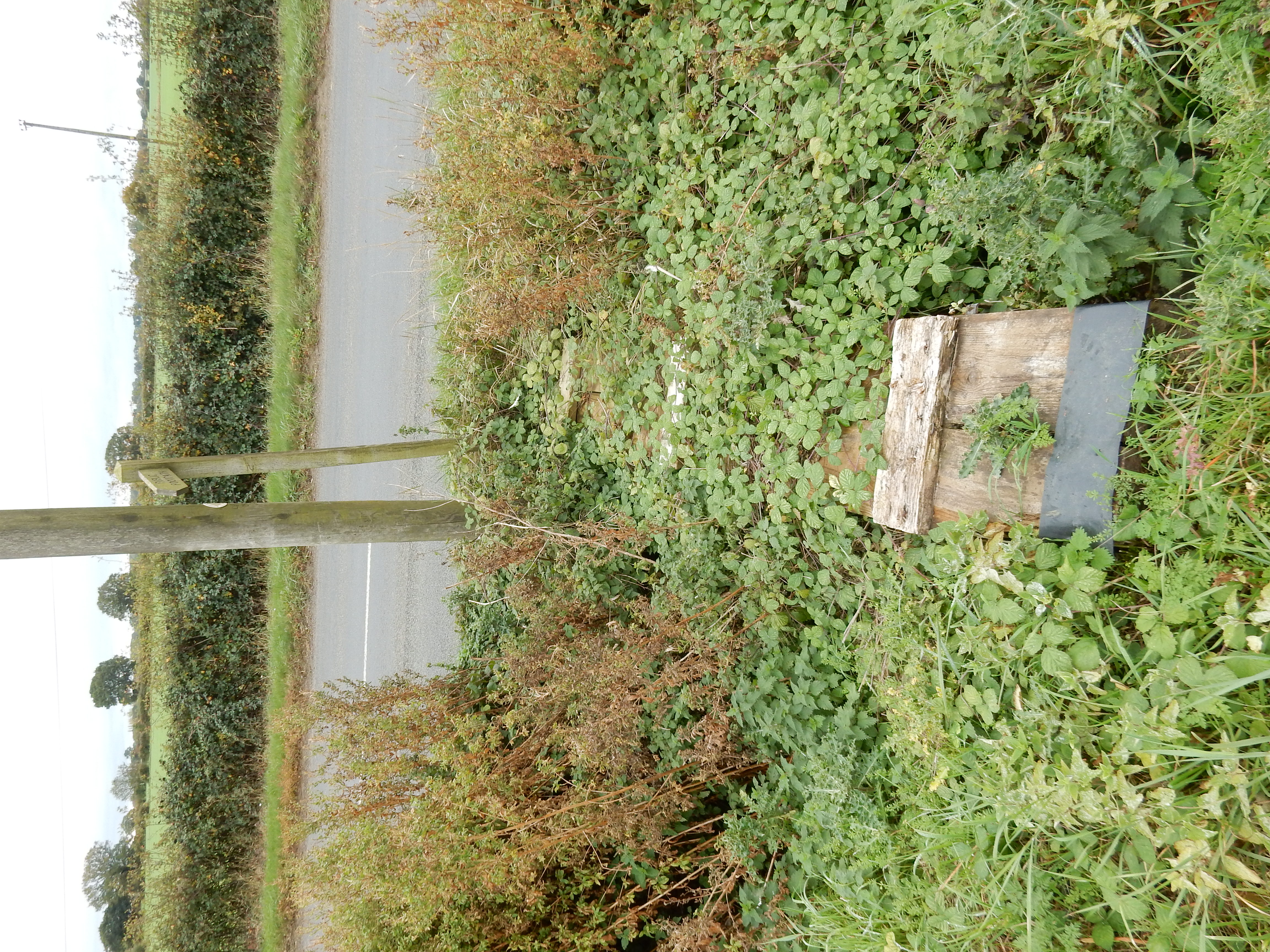
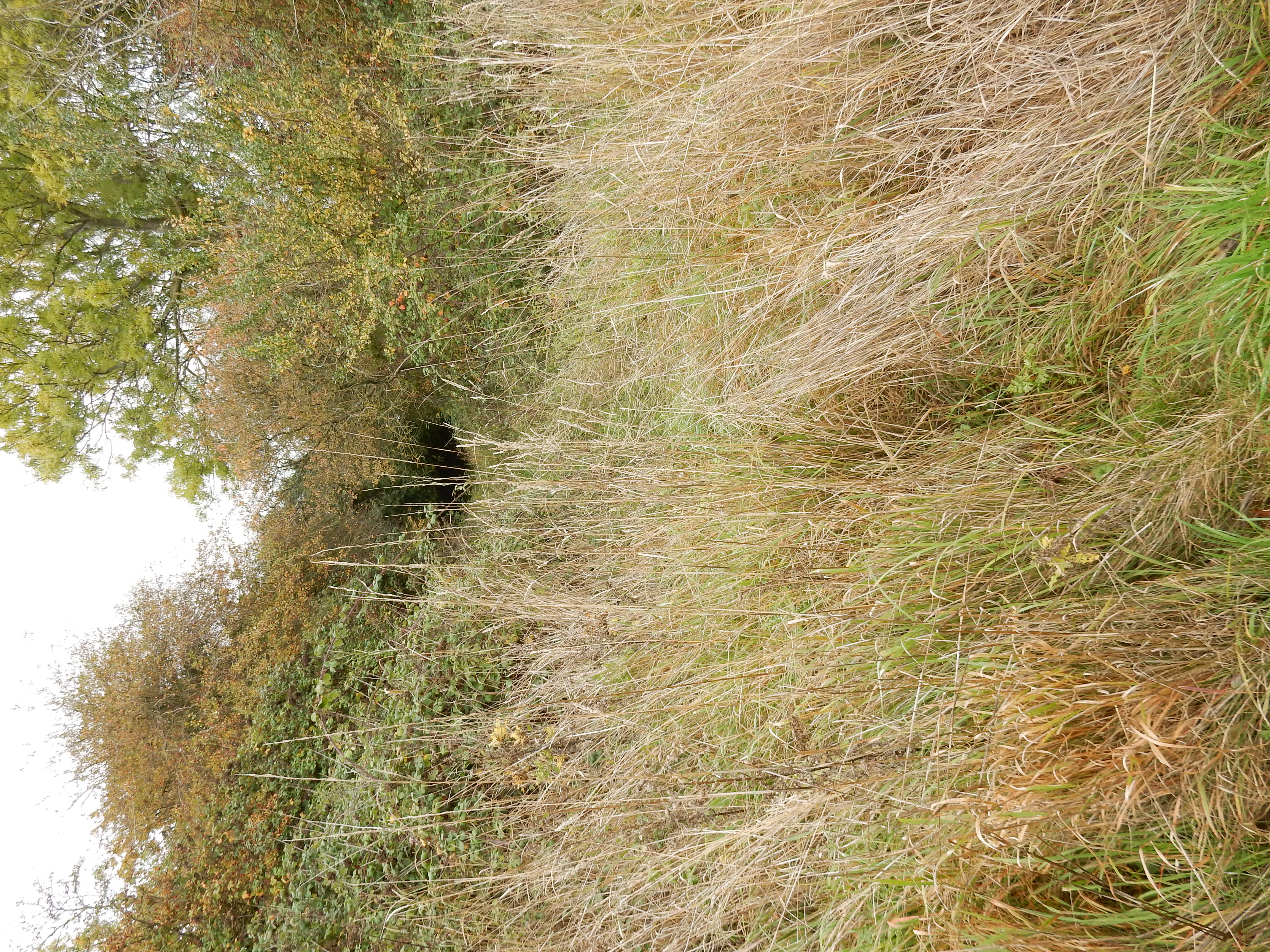
The flat landscape approaching Tibenham Airfield features beds with sedge crossed by dykes, bringing to mind the Broads, twenty miles east. Sadly, it also brings to mind recent navigational difficulties. The PRW north of Old Barn runs along the western bank of the dyke, but that's history. Try it, and you discover this little impediment to your journey. A classic Derelict Right of Way. Were my name Evel Knievel I might be tempted by some stuntwork here but, at age 69, caution prevails, and I arrive at Slough Lane with no bone broken. Avoidance of injury is also attained by not climbing this modified oak tree. Those are pretty serious looking rungs. Not really kids tree house ironwork. Could it be that, during WW2, someone had an idea that this was the fastest way to build something that could substitute for a control tower? I know that times then were desperate, but ... really? Perhaps Jerry wouldn't think to bomb it.
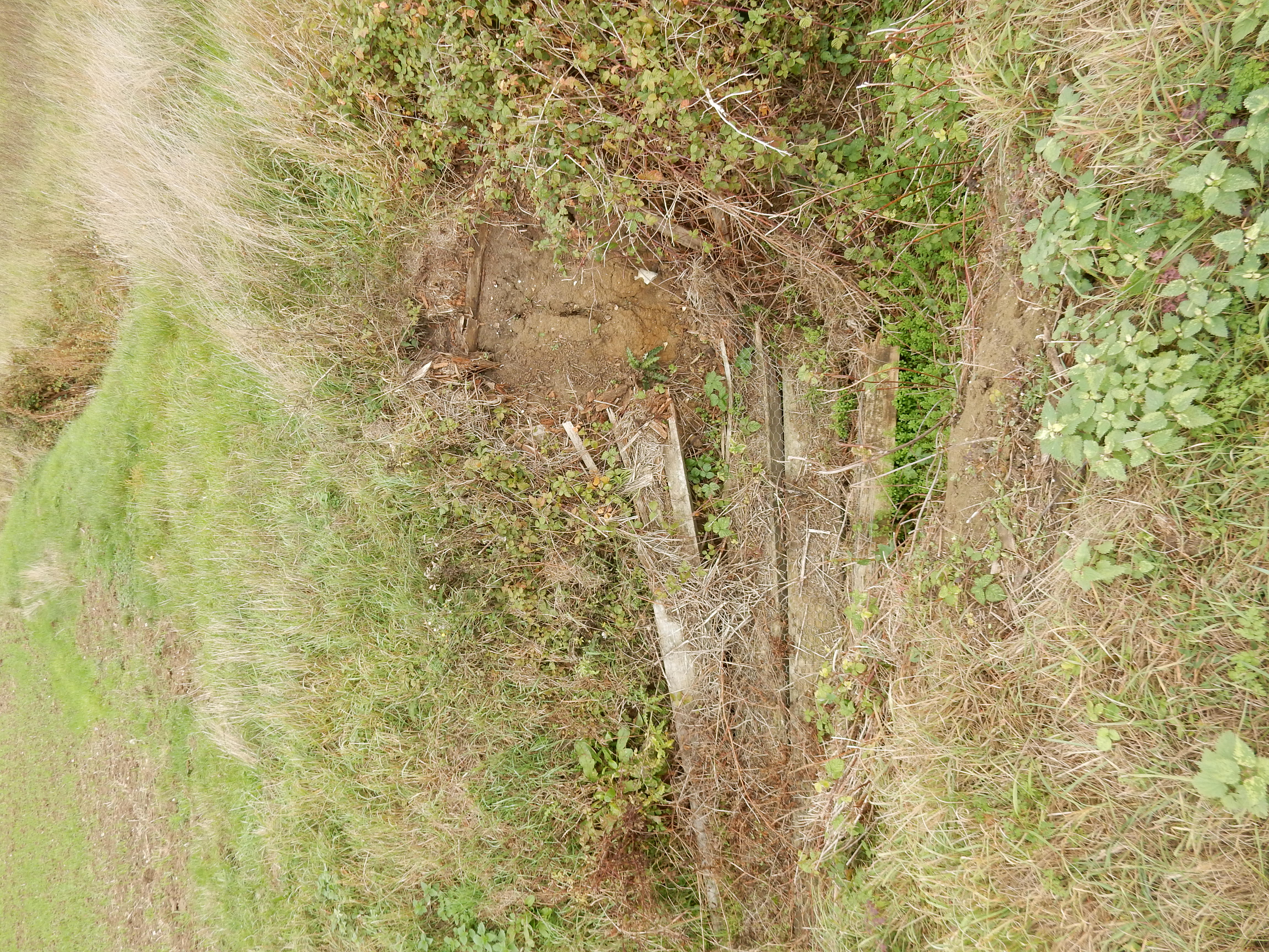
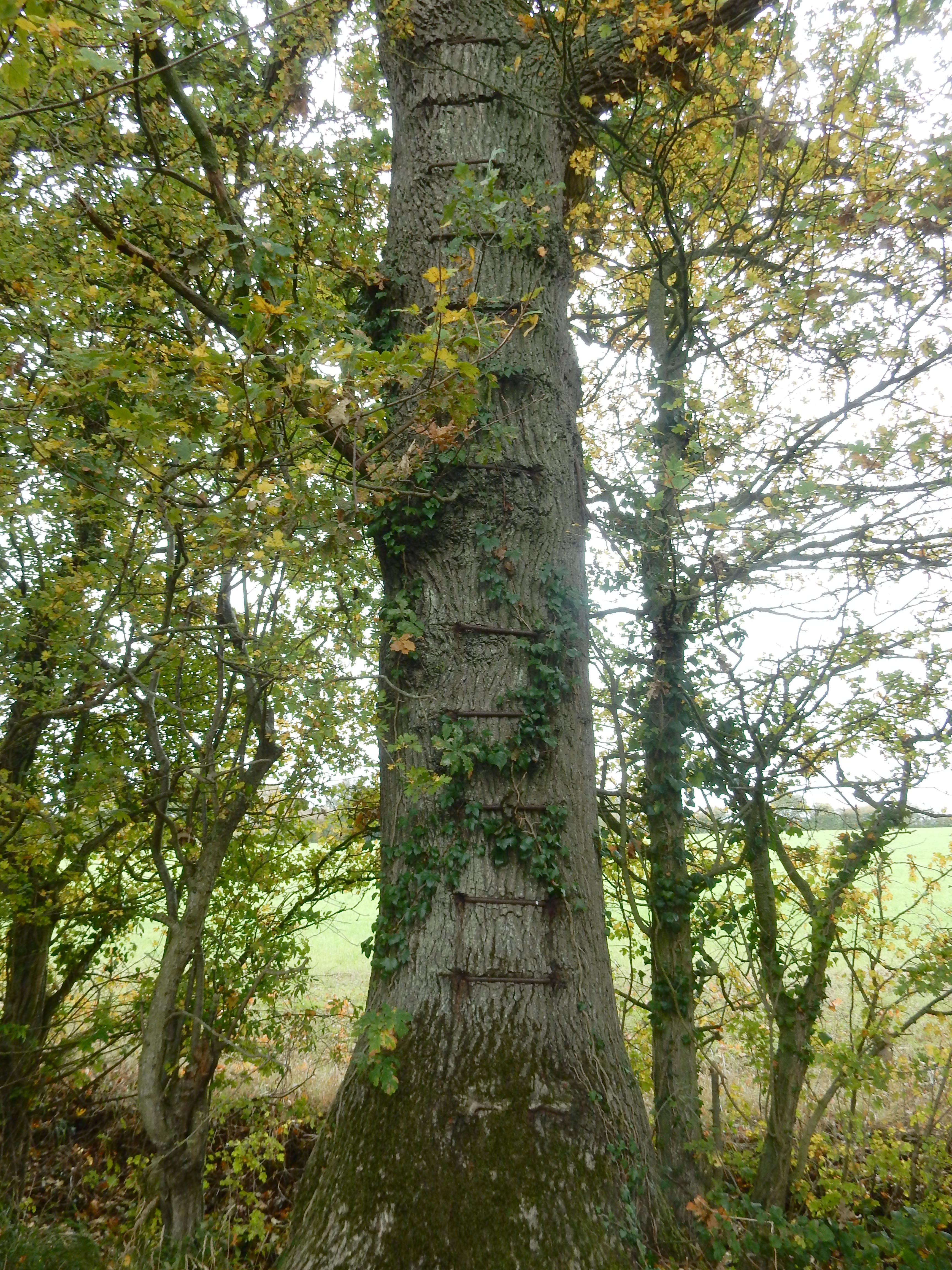
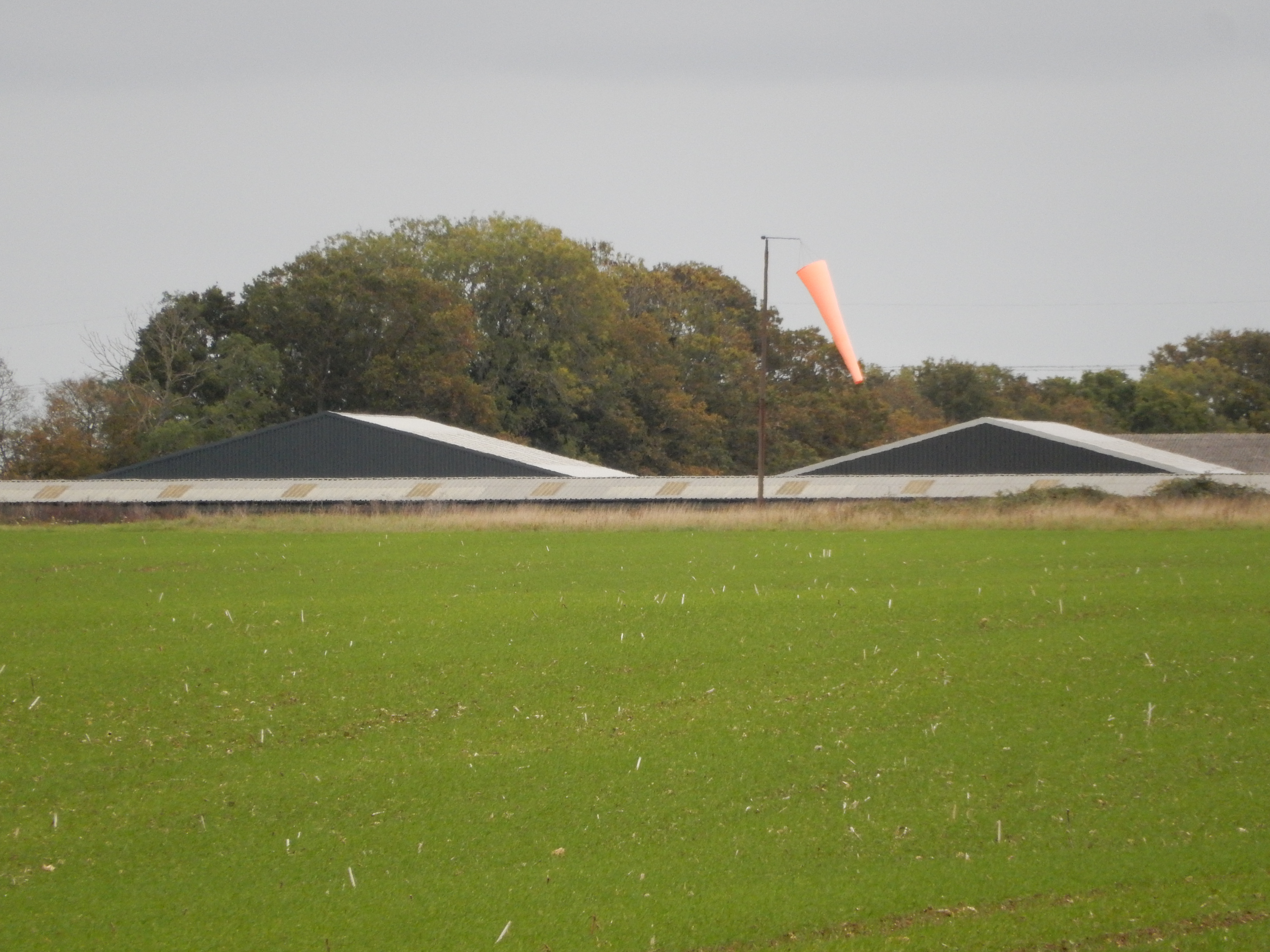
Had I wished to cross the dyke in a tank then this is not the sort that I would choose.[12] Weirdly, in addition to the Old Barn , there is a second connection of this place to Walmington-on-Sea: an episode having been filmed here. Now you know why I always carry secateurs on a walk. The two items of airfield infrastructure I came across are of less use to me than the nice bench to the side of the path. Here I enjoy a sandwich whilst looking across the airfield at a returning glider. All the same, with a little more planning (and daylight), I might have stopped here for a slap-up lunch at the nearby, refurbished Greyhound PH. It was the watering hole of choice for RAF Tibenham.


A long time ago, I learnt that, no matter how bad a walk gets,
it is a mistake to console myself with the thought that things
can't get worse. As I approach Church Farm the field to my right
is being ploughed. Like any rambler, I take that circumstance in
my stride 🙃
Today, unfortunately, the field to the left has recently also
been ploughed, together with much of the footpath itself. I fail
to watch carefully enough where I put my right foot, and succeed
in turning my ankle. This happened a year or two back at Oxted,
and the damage then took months to heal (heel?). This time it's
less severe, and would be trivial if my bootlaces were tightened
properly, but the remainder of the walk is not a lot of fun.
We live and learn, don't we? I do so at the turn-off from Cargate Common Road: a minor example of the route planning issues raised in the introduction to these walks. For two hundred metres the OS sends me along what has likely never been a PRoW, simply a back way into Old Hall.[13] This is no big deal. After a few seconds scratching my head, looking for the usual finger post, and wondering about a shut gate, I go for the smaller field to the right of the hedge, where no crop risks being disturbed. In the event, nobody runs after me bellowing "Get orff me land!". A few miles further on, matters take a more serious turn (PU).
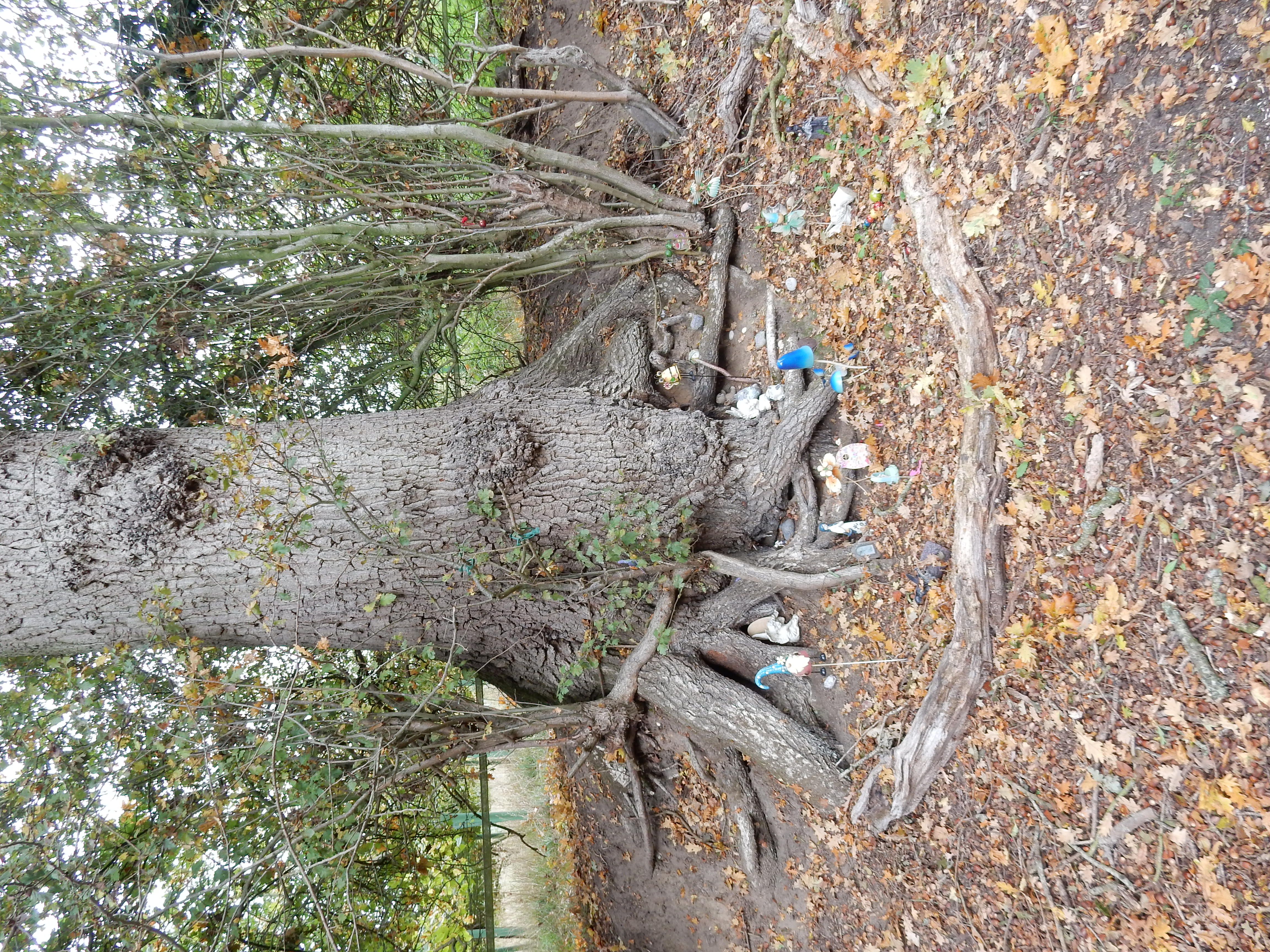
Before it reaches Tasburgh, the River Tas is a bit of a misnomer, and could almost be jumped here at the bridge. As you see, not many bother with the bridge. Since the route continues through the field to the right, I decided to head in that direction, but there was no way through. You need to go left, past the optional stile, and cross a second bridge a few yards further up. The occupants of the field might have told me that - if they weren't so busy. I am suspicious of the direction indicators on top of their heads. Hurriedly, I make my way to the stile at the top of the field and turn right. A less hurried decision would have taken me left, where I encounter those responsible for the tree house at Tibenham.


Otherwise, all is good until shortly after crossing the B1113 near Bunwell Village Hall. Thereafter the original route lurches northwestwards through Bunwell Bottom (every walk should include it) and, four miles later, arrives at Guiler's Lane in Wattlefield. The OS has a plan, certainly, but there is a flaw in it. Continuing from here entails use of the two mile long track past Lowerpark Farm leading north to Park Lane, crossing the A11 into Wymondham. This is not a PRoW and signage informs Uncle Tom Cobley that he is definitely unwelcome.
The route shown north of Bunwell Street is therefore an (unattractive) replan of the last stage of the walk, and not attempted by me. For the most part, it is in-road walking; but likely tolerable until Ashwellthorpe. From there until Silfield (1½ miles) the verges dwindle from adequate to non-existant. At times when traffic is heavier, I might be tempted by one of the routes north from Ashwellthorpe up to the PRoW leading from Old Rectory Lane to Holly Farm. Unfortunately, it's waterlogged in winter and overgrown in summer 😧
It's your final walk. You choose: succumb to gangrene from an ankle injury, being blasted with both barrels by an irate landowner, being flattened by an HGV, drowned in the River Tas or being cut to shreds by brambles.[14] Thus ends your stroll through the peaceful countryside.