
Parametric data
- Route name:
- Gatwick station.
- Start point:
- Gatwick.
- End point:
- Redhill.
- This route on OS maps:
- https://explore.osmaps.com/route/17737943/ ...
- Distance:
- 8.8 miles walked, 6.9 miles flown.[1]
-
Duration
-
3.6 hours.[2] -
Duration
-
3.0 hours. - Ascent:
- 93 metres.
- Stiles:
- 0 (zero).
- Landmark of note:
- Gatwick Airport, really. There is a WW2 pill-box in Gail Lane.
- Feasible excursion:
- See text.
- Waypoints:
- Horley, Salfords, Whitebushes, Earlswood.
-
Weather (230710): -
 13°C,[3] ☀️
Sunny, but with a breeze. Cloudier in the afternoon.
13°C,[3] ☀️
Sunny, but with a breeze. Cloudier in the afternoon.
-
Avoiding roads: -
 A proper footway all along.
-
Footpath construction: -
Properly made surface the whole way.
-
Footpath condition: -
You'd have to look hard to spot the wet leaf.
- Refreshments:
- Sandwich from M & S Gatwick. Consume at Tanyard Meadows.
-
Vistas: -
 Heard of the 'Gatwick Plain'?
Blackberries:-
Here and there along much of the route between Horley and
Earlswood. One or two beginning to ripen.[4]
Route map and notes.
Q: What's is airport sickness called?
A: A terminal illness.
Anon.
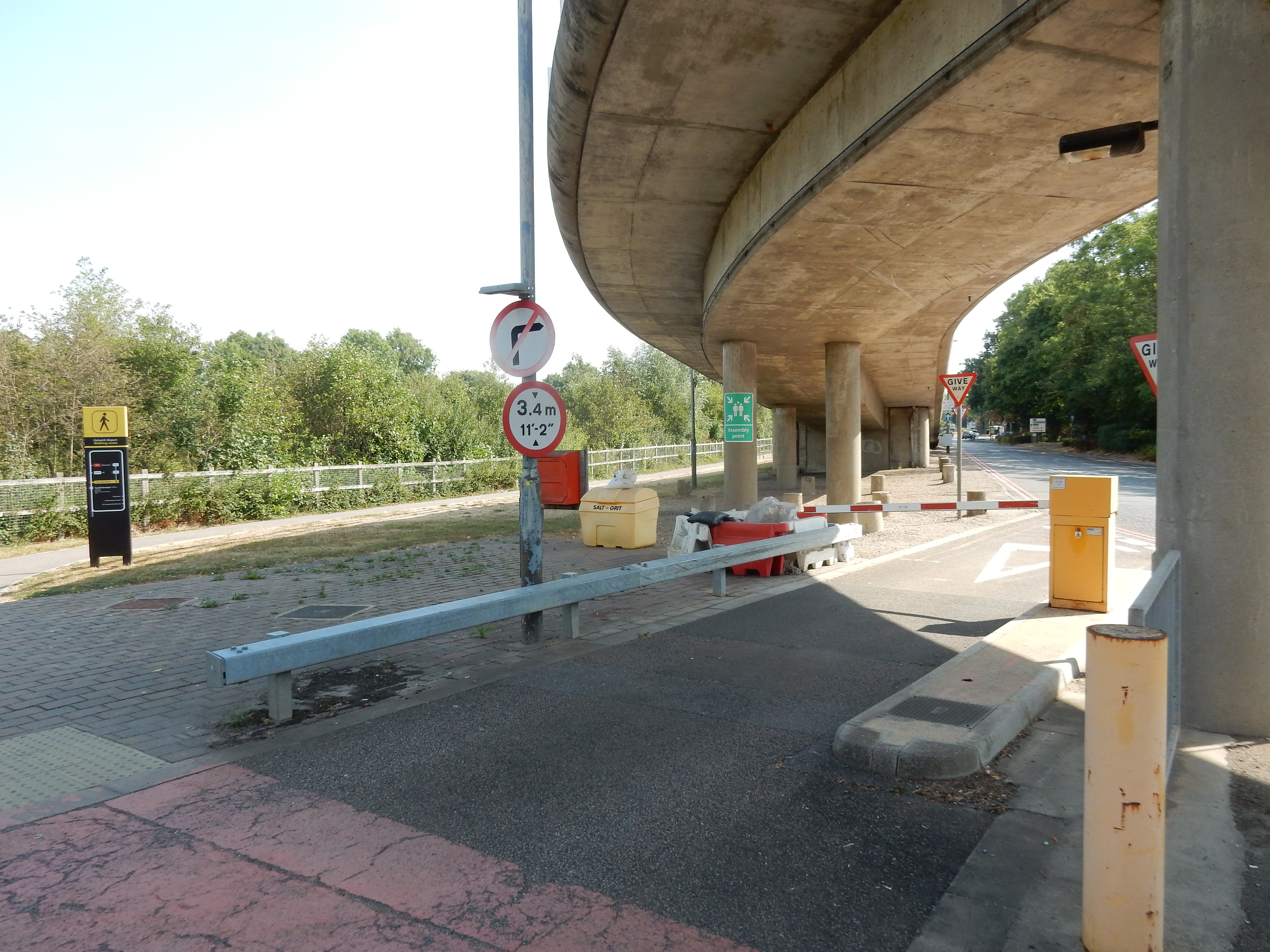
Gatwick rail station is presently (2023) undergoing a long term rebuild. Exit routes that once existed have gone. This is the route that OS Maps decided upon. It may be the shortest,[5] but I doubt that it is the easiest to follow. Station staff could offer no improvement on it.
- Take the south travelling escalator up to the footbridge over the platforms.
- Turn right at the top of the escalator and head west over Platform 1.
- Exit the rail station through the ticket barrier on the bridge.
- Enter the South Terminal Concourse and turn right.
- After about 90 metres bear left past 'International Arrivals'.
- Continue toward the signs 'Exit to Northbound Buses and Taxis'.
- Go down a comically narrow staircase and exit the building.
- Bear right toward the bus stop, but continue down the slope approaching the underpass beneath the A23.
- Return to the eastern side of the A23 using the underpass.
- At the end of the underpass turn left through an underpass below one of the service access roads.
- Emerge from that underpass and take a sharp right onto the path going under the North Terminal shuttle rail line.
- A few metres further east you reach a third underpass beneath the road to the staff car park.
- This final underpass takes you onto the footpath leading north, beneath the airport spur off the M23. You stay on that until you reach the outskirts of Horley.
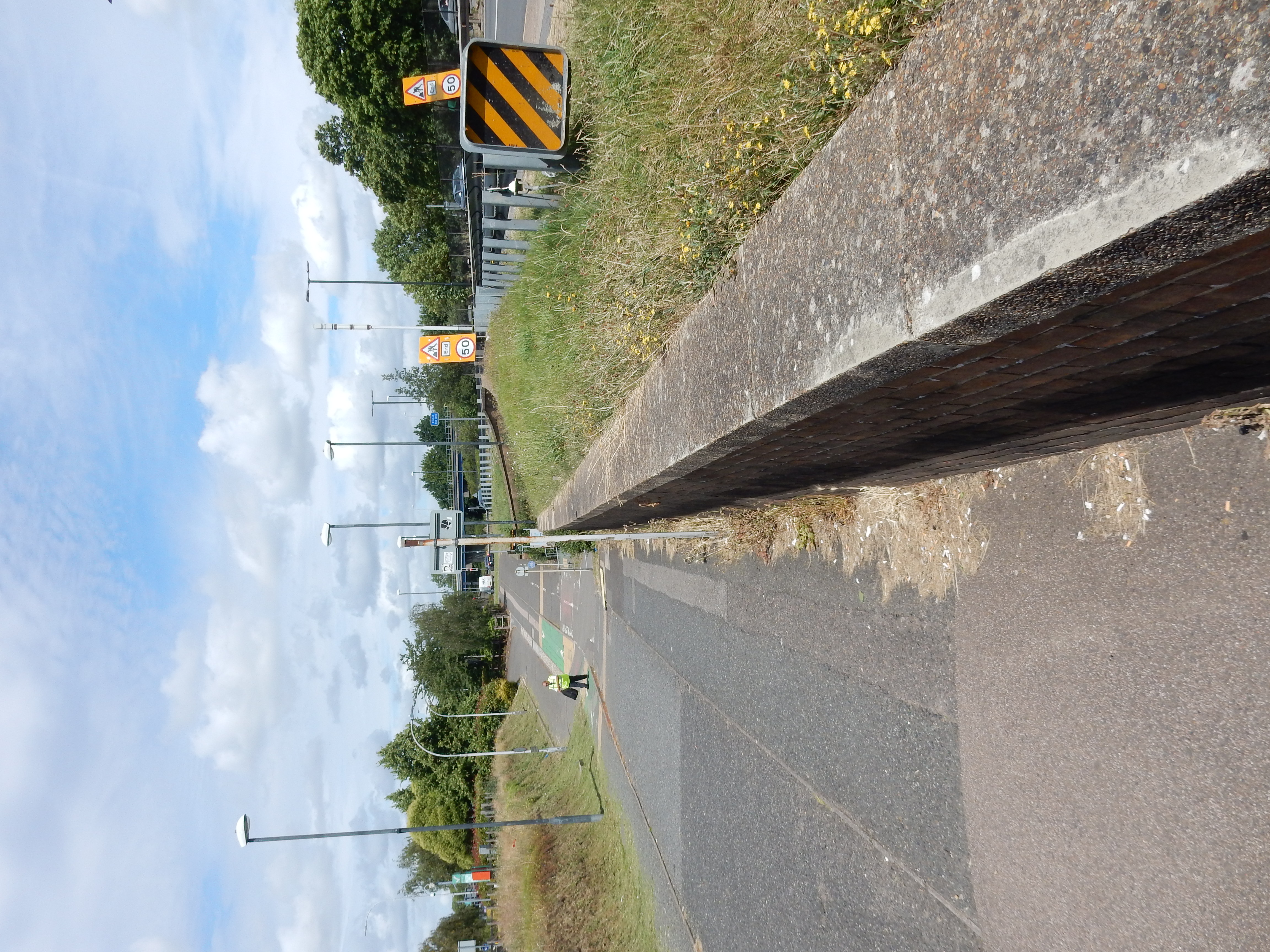
What could be more straightforward? So pleasurable, too, continually accompanied by the scream of jet engines. Well, perhaps the number of arrivals at Gatwick wanting to continue their journey on foot isn't huge. I daresay we ought to cut Gatters a bit of slack.
Horley town centre has about the only places to eat or drink en-route, Gatwick excepting. Between the last of Horley[6] and Cross Oak Lane is three quarters of a mile of Orchard Drive: no orchard; just drivers. At least its not the A23. The nicer Gail Lane (one mile) takes you to Honeycrock Lane.
Then ⅔ mile of Green Lane (which is actually concrete) takes you to Whitebushes. Thread your way through that, picking up a drink or an ice cream at the convenience store. Call in at the Accident and Emegency room at ESH where staff will be happy to treat blistered toes 🤥
The original route (15th Aug 2022) is shown on the Google Maps frame, shown below. It follows the OS Route until you leave the Royal Earlswood Park or (less euphemistically, Asylum Arch Road). The more westerly route is the better choice following dry weather, taking you across the otherwise extremely soggy Moors.