
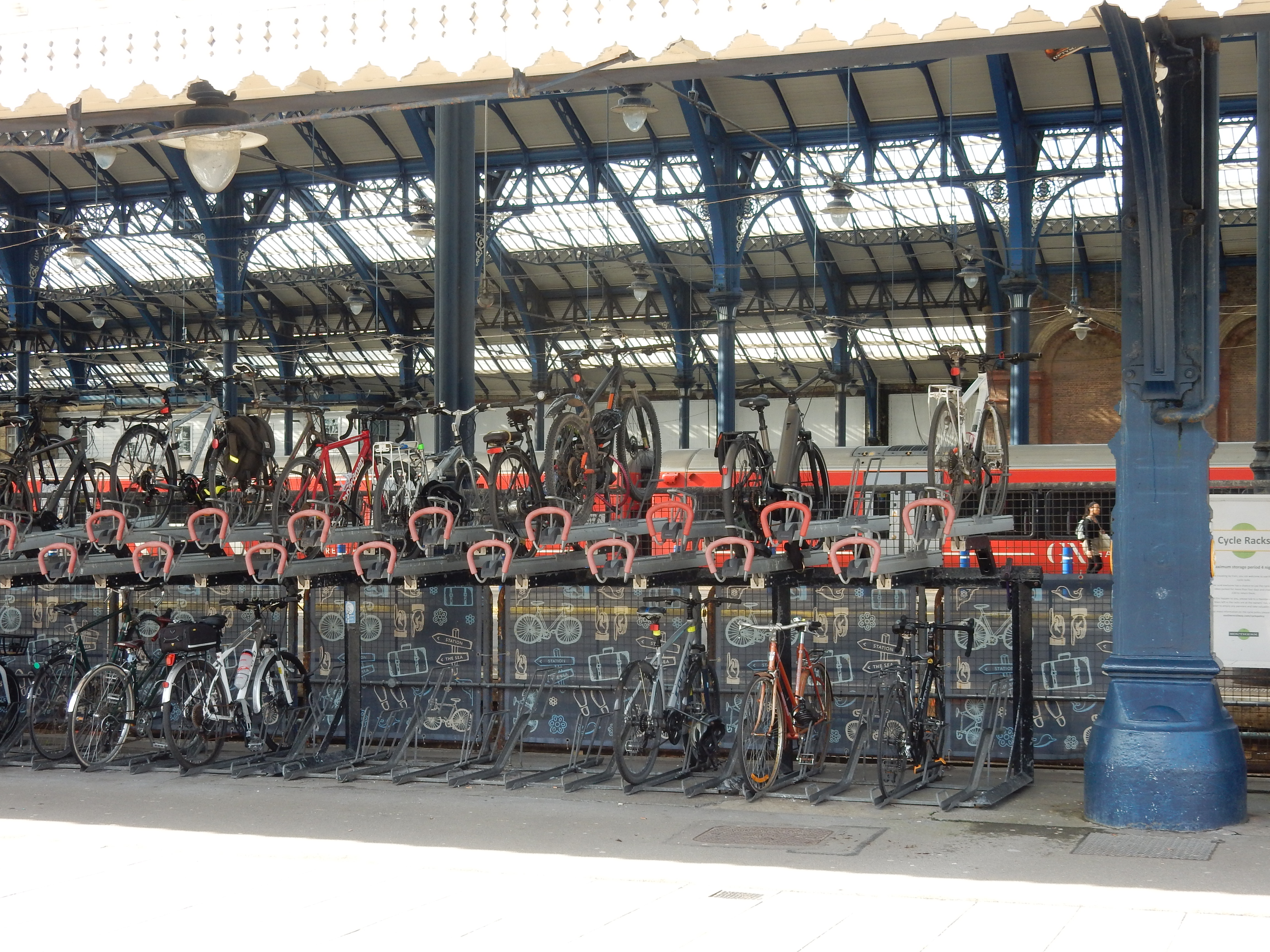
Parametric data
- Route name:
- Brighton3
- Start point:
- Brighton.
- End point:
- Hassocks.
- This route on OS maps:
- https://explore.osmaps.com/route/20588553/ ...
- Distance:
- 11.8 miles walked, 6.5 miles flown.
- :
- 11.1 hours.[1]
- Ascent:
- 196 metres.
- Stiles:
- 0 (zero).
- Landmark of note:
- Ventilation shaft at Patcham.
- Feasible excursion:
- The OS insists that you cross under the A27 using the Braypool side of the A23, and then cross the footbridge. Hmmm.
- Waypoints:
- Round Hill, Preston, Cliveden Close, Withdean, Westdene, Patcham, Braypool, Pyecombe, Muddleswood, Albourne, Hurstpierpoint.
- Refreshments:
- Coffee from Starbucks. Packed lunch at Albourne.
Weather:-
 12°C,[2] 🌤️
First day of Spring, and feels like it.
12°C,[2] 🌤️
First day of Spring, and feels like it.
-
Avoiding roads: -
 Under the rail bridge at Patcham.
-
Footpath construction: -
Asphalt, apart from Coney Wood.
-
Footpath condition: -
 Spoilt by a small
flood
at Pyecombe (or Brighton beach in Western Australia, as AI
on my device assures me).
Spoilt by a small
flood
at Pyecombe (or Brighton beach in Western Australia, as AI
on my device assures me).
-
Vistas: -
 From the Bridge over the A23 entering Hurstpierpoint you can
see down to
Devil's Dyke.
From the Bridge over the A23 entering Hurstpierpoint you can
see down to
Devil's Dyke.
Blackberries:-
Near Pyecombe, perhaps, in the Autumn.[3]
Route map.
Walk notes.
This walk is another 'reconnaissance' effort for a later Brighton expedition, and so is not a route that anyone will likely follow, even if Brighton to Hassocks is your particular penchant. Right, off we go. This morning I start on the right foot by finding the back exit from the station at the first attempt. There's hope yet. My research concentrates on the section through Patcham. On the map, it isn't clear how best to do this. The OS consistently recommends using the east side of the A23 through Braypool and achieves the west side using the footbridge there. Feasible though that may be, there is no Pelican Crossing on the slip road from the A27. Even during times of low traffic, it isn't nice. My need will be for a rush hour traversal. Don't go there. Additionally, the onwards route to the footbridge is little used and indistinct. Seems wrong.
So I go under the A27 to the west of the intersection. That suggests one of the paths through Coney Wood. The question is which? There is one marked public right of way, and at least two 'permissive' routes. All are dirt paths, so which is the least muddy? The PRW is unviable. It entails a needless climb up over the rail tunnel, and then back down again. If it still exists then it must be so disused that I could not follow it. There is a compromise path halfway up the slope. Its northern end involves a nasty scramble back down to the 50 metre level. That really leaves just the route along the edge of the playing field.
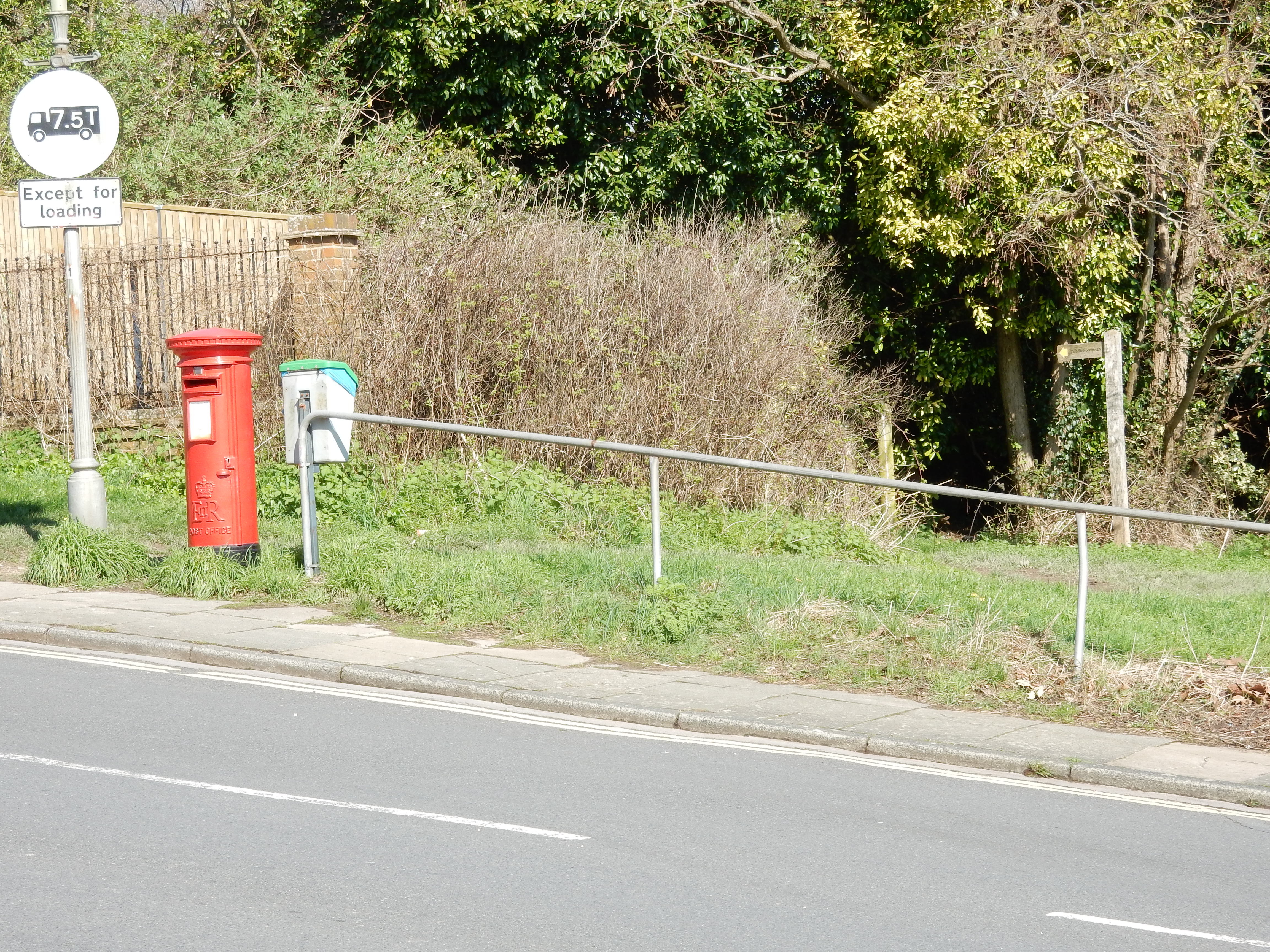
This is the clear winner. It is, though, unmarked across the Recreation Ground, and the OS suggests that, 100 metres before Mill Road, it swings up the slope towards the rail line. This is a mistake that I am pleased not to have made later in the year. Ignore the finger post pointing west, and continue along the periphery of the playing field, more or less straight on, until you emerge in Mill Road opposite the entrance to the filling station. Simples.
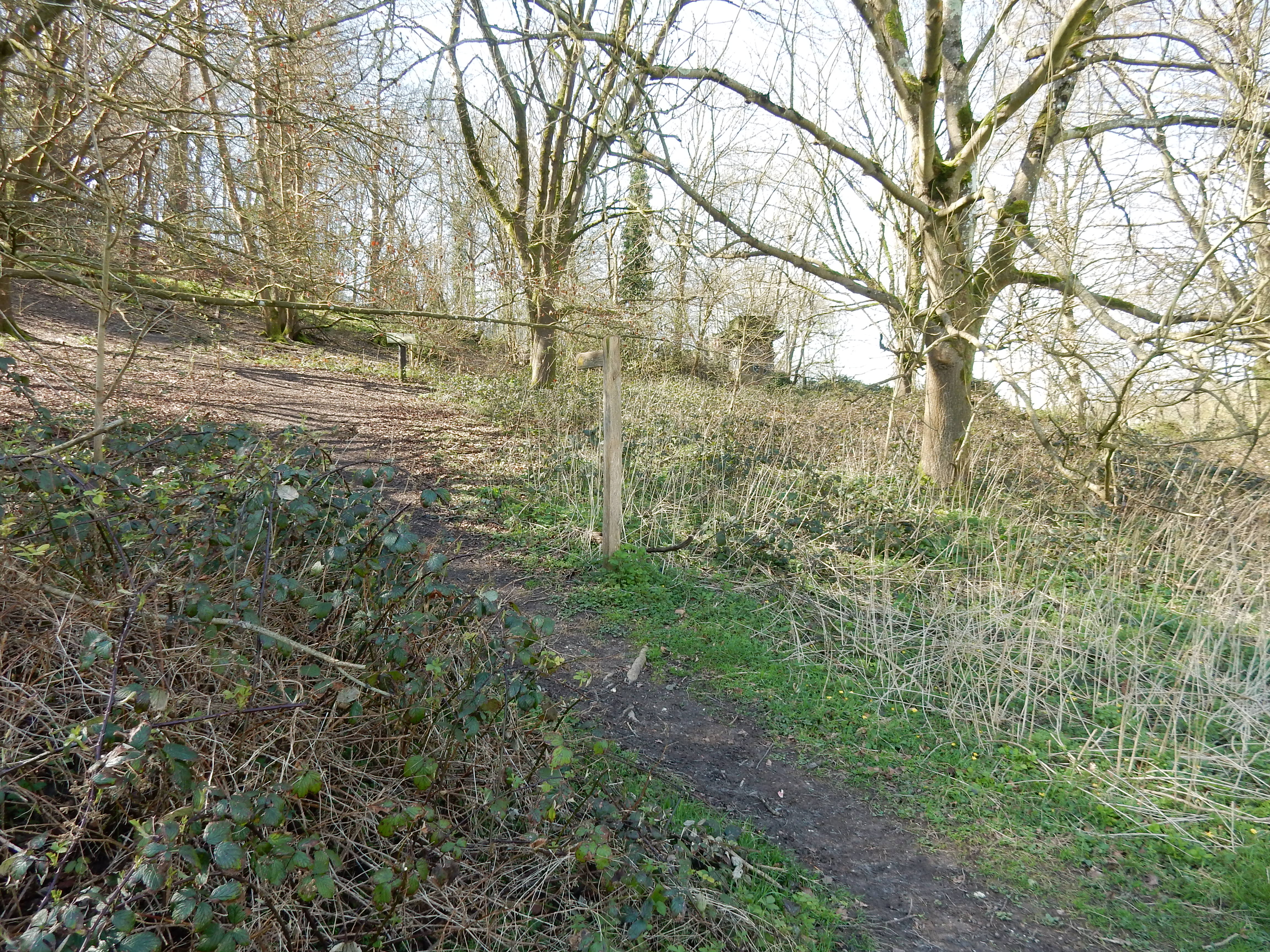
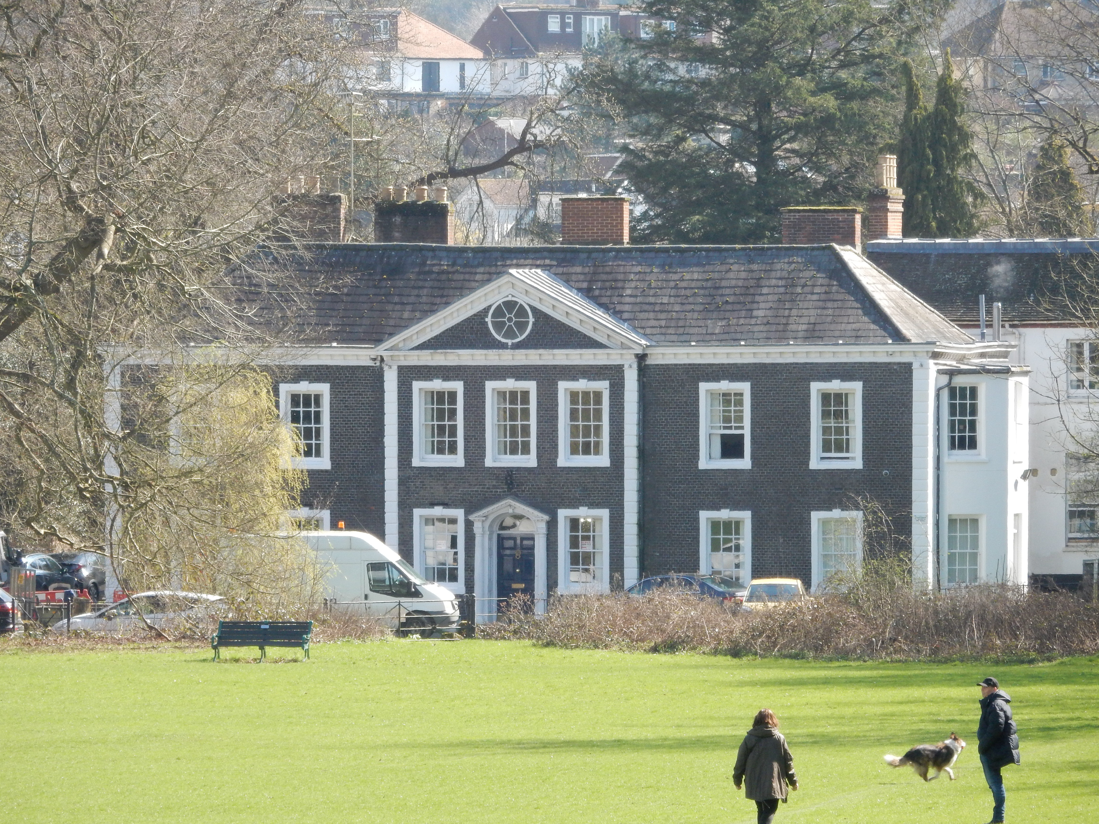
So, there we are. In June I may adopt this route. OTOH, the ascent seems hardly worth the effort to save twenty metres spent continuing along the A23 footway up to the roundabout. It is probably used mainly by dogwalkers wanting to reach the Rec. Sometimes tarmac and traffic are prefereable to off-road. June will be one. My day is not entirely wasted, however. As I remark in my introductory page for my walks, sight of railings like these is a sure sign that a location has history going back even further than me. I reach their end to discover Patcham Place: home to the wealthy Payne family.
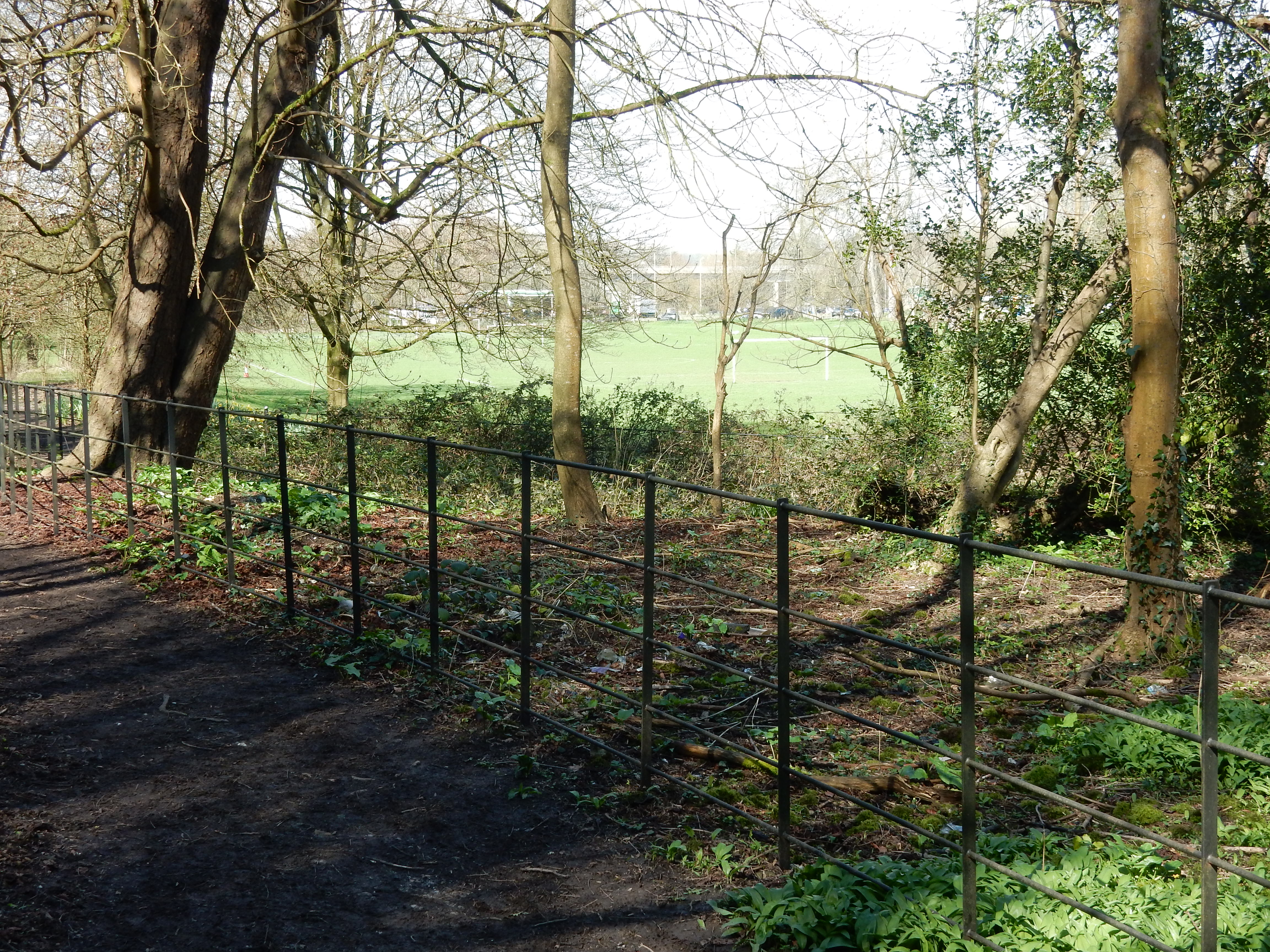
Spring; I enjoyed that.
Missed it last year - I was in the bathroom.
Michael Flanders.
Not a lot is left to report. I took the opportunity of checking the stretch from Pyecombe to Albourne for navigational pitfalls, but found none of significance. For example, shortly before Muddleswood the footway branches off to the west of the A23 (for about the next three miles). There is, as it happens, no risk of overshooting the turn. Leading northwards, I discover a curious looking, 500 metre long stretch of tarmac. Today, this is no more than a driveway for three residential properties at its eastern end. Why make that seven metres wide? Why install Cat's Eyes down a decidedly off-centre line? Why does this line appear to continue east of the (presently uncrossable) A23? A clue is supplied shortly after the B2117 crossing. Research into such questions is greatly facilitated thanks to the resource made available at the National Library of Scotland. Why must West Sussex go to Scotland for it? Anyway, it explains why this overblown farm track could once have been the precursor of the A23. The line it takes extends into the chalk pits at Round Hill: an impossible climb for the road at any period in history. The 1952 map shows instead a fairly sharp bend to the west and the current A23.
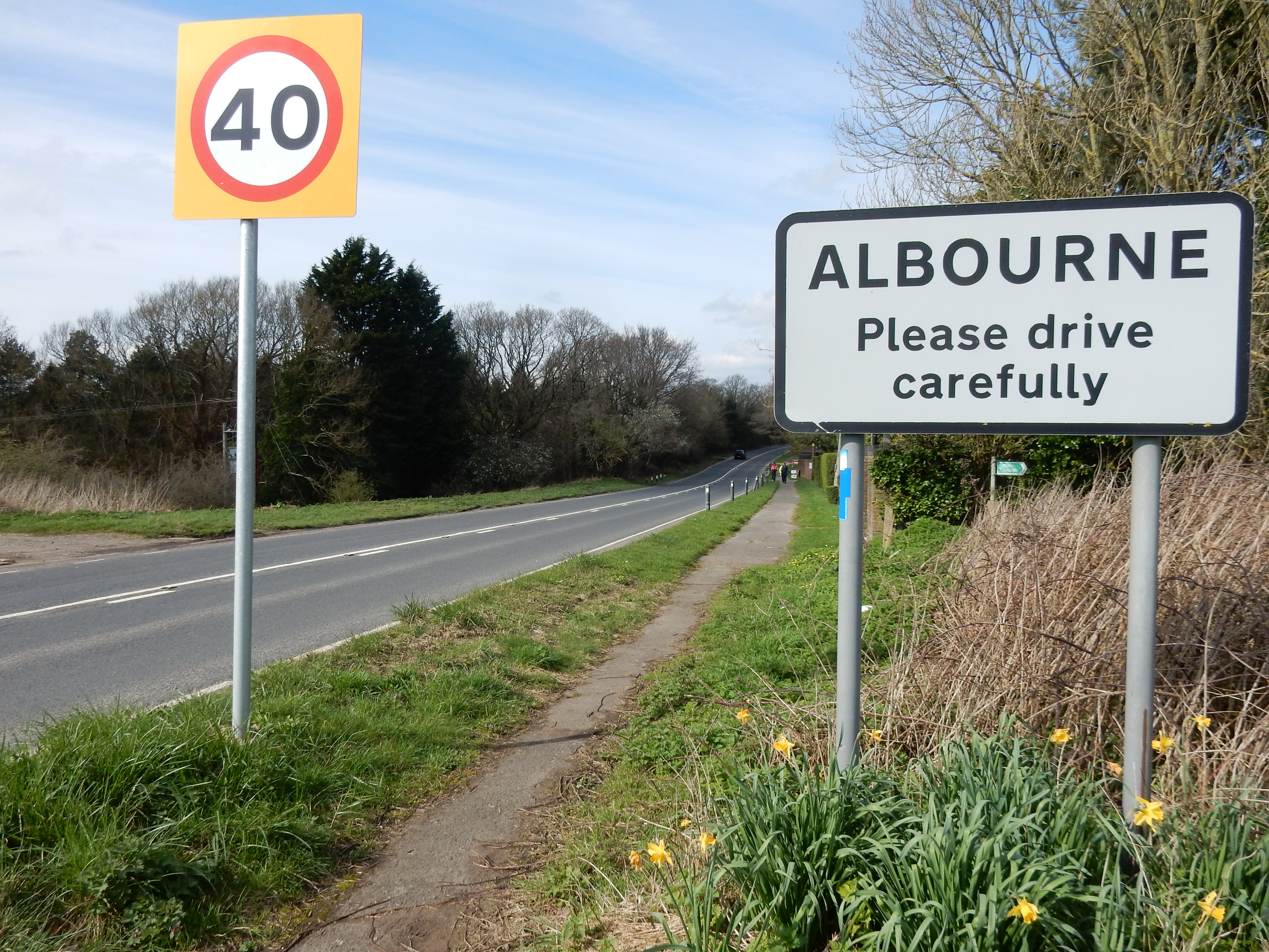


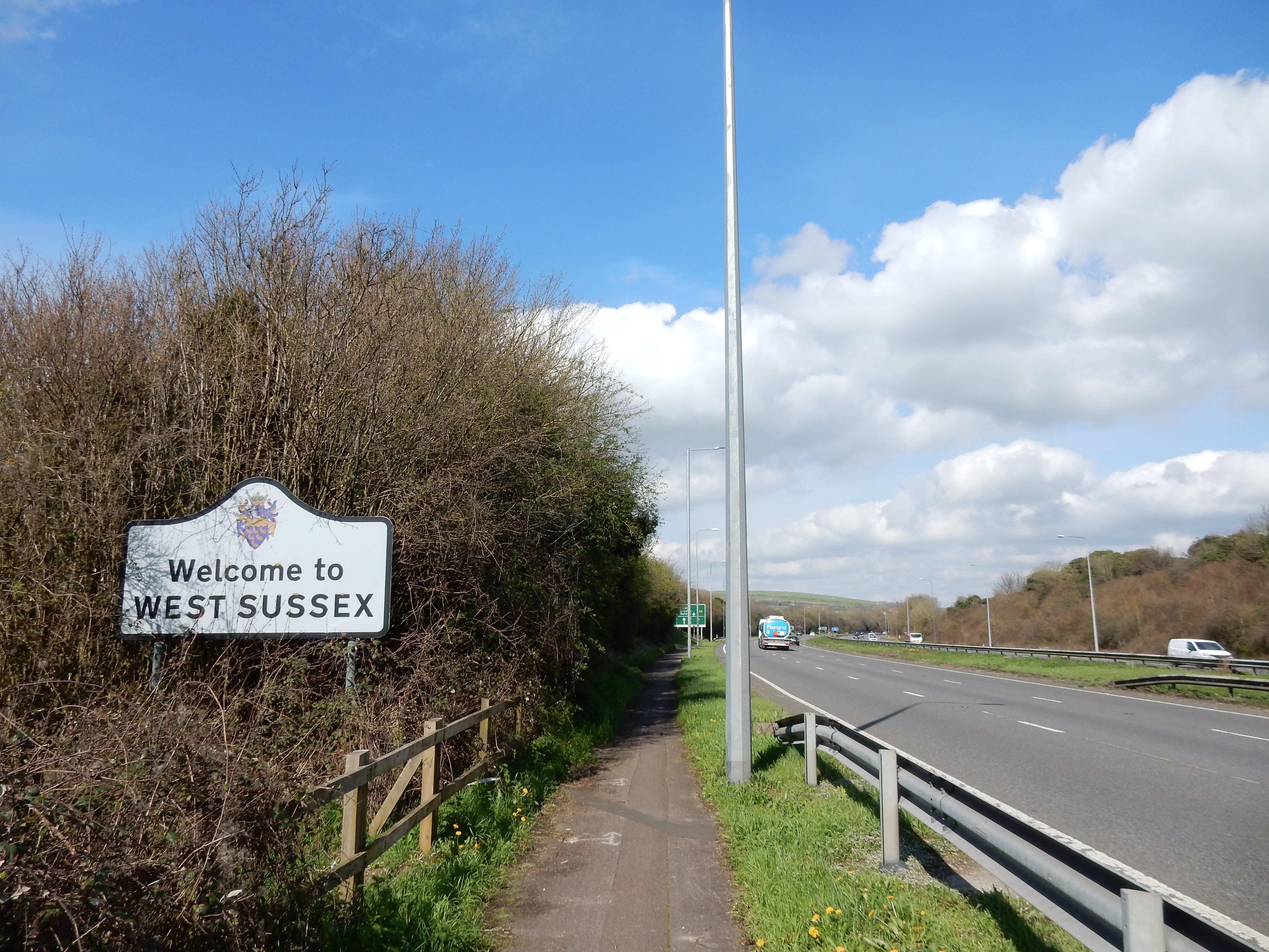
At Pyecombe there was a flood of sufficient depth to require waterproof footwear on a direct traversal. Tell me, someone please, that by June, the rain might ease. Even a little?