
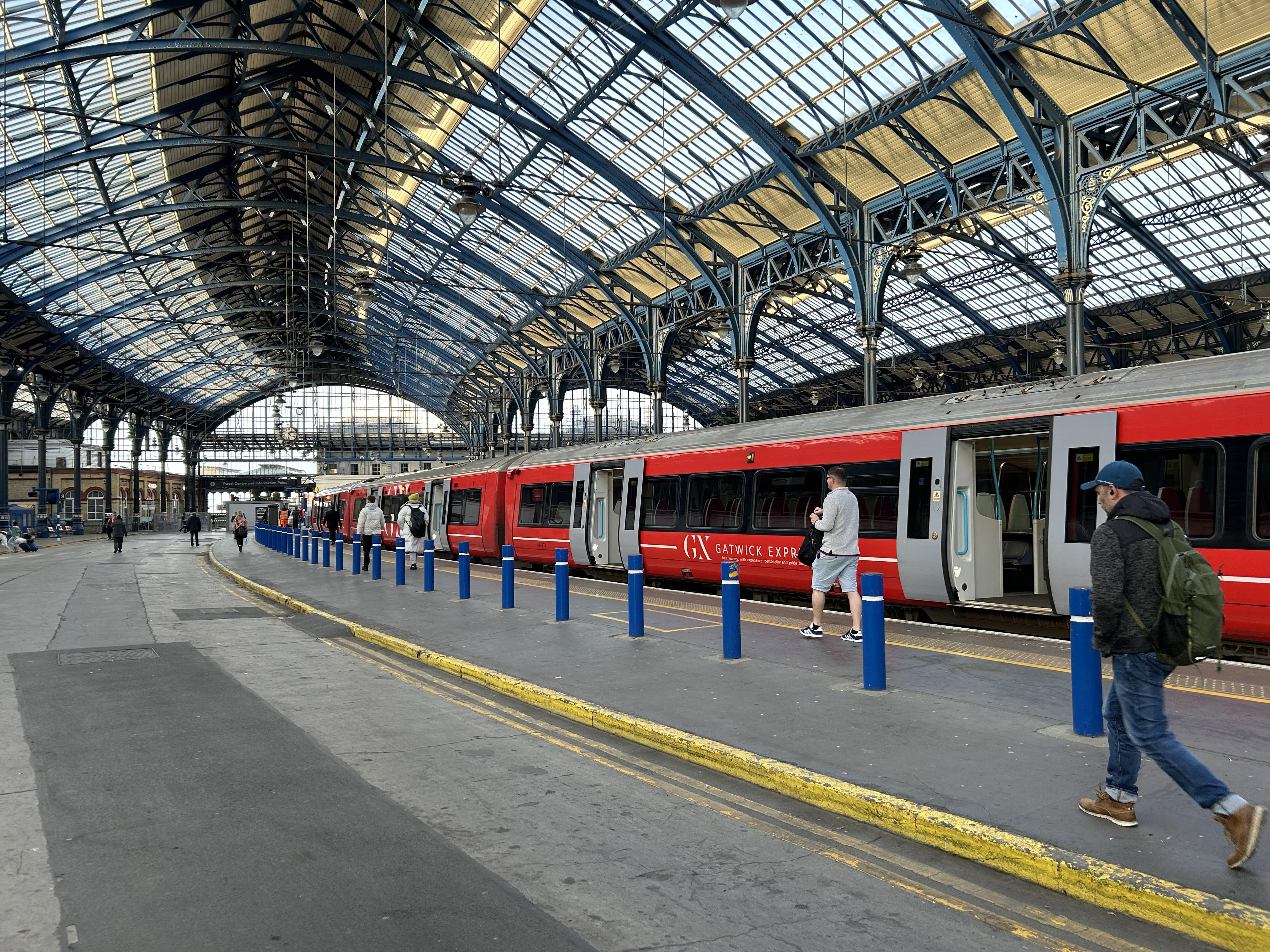
Parametric data
- Route name:
- Brighton2
- Start point:
- Brighton.
- End point:
- Redhill.
- This route on OS maps:
- https://explore.osmaps.com/route/19712840/ ...
- Distance:
- 34.2 miles walked, 29.5 miles flown.
- Duration :
- 12.2 hours.[1]
- Ascent:
- 520 metres.
- Stiles:
- 0 (zero).
- Landmark of note:
- Patcham Pylons
- Feasible excursion:
- After Gatwick, the route zig-zags a lot. I fancy the A23 would be more direct, albeit dull.
- Waypoints:
- Round Hill, Preston, Cliveden Close, Withdean, Westdene, Patcham, Braypool, Pyecombe, Muddleswood, Albourne, Sayers Common, Hickstead, Bolney, Warninglid, Handcross, Pease Pottage, Tilgate, Crawley, Three Bridges, Manor Royal, Tinsley Green, Gatwick, Horley, The Acres, Salfords, Whitebushes, Earlswood Park, Earlswood, Redstone Hill.
- Refreshments:
- Lunch at: Costa Horley. Fuel consumption for the whole 34 miles: 1 macaroni cheese (568 kcal).
-
Weather: -
 10°C,[2] ⛅️
Cool and clear in the morning. Warmer, cloudier and humid
PM. First T-shirt walk of 2024.
10°C,[2] ⛅️
Cool and clear in the morning. Warmer, cloudier and humid
PM. First T-shirt walk of 2024.
-
Avoiding roads: -
 About ten metres of Mill Road under the rail bridge.
-
Footpath construction: -
About 200 metres of good
BLA
in Earlswood. Otherwise, mostly tarmac.
-
Footpath condition: -
 The slip road north of Jeremy's Lane is in a dire state. The
¼ mile north of Pease Pottage roundabout is much the
same: neglected, overgrown and made uneven by tree roots.
Worst of all was the flood at Pycombe (see notes).
The slip road north of Jeremy's Lane is in a dire state. The
¼ mile north of Pease Pottage roundabout is much the
same: neglected, overgrown and made uneven by tree roots.
Worst of all was the flood at Pycombe (see notes).
-
Vistas: -
The highest point on the walk is at Handcross: 150 metres ASL.
Blackberries:-
 Later in the year, maybe.[3] I really wasn't stopping
today.
Later in the year, maybe.[3] I really wasn't stopping
today.
Route map.
Walk notes.
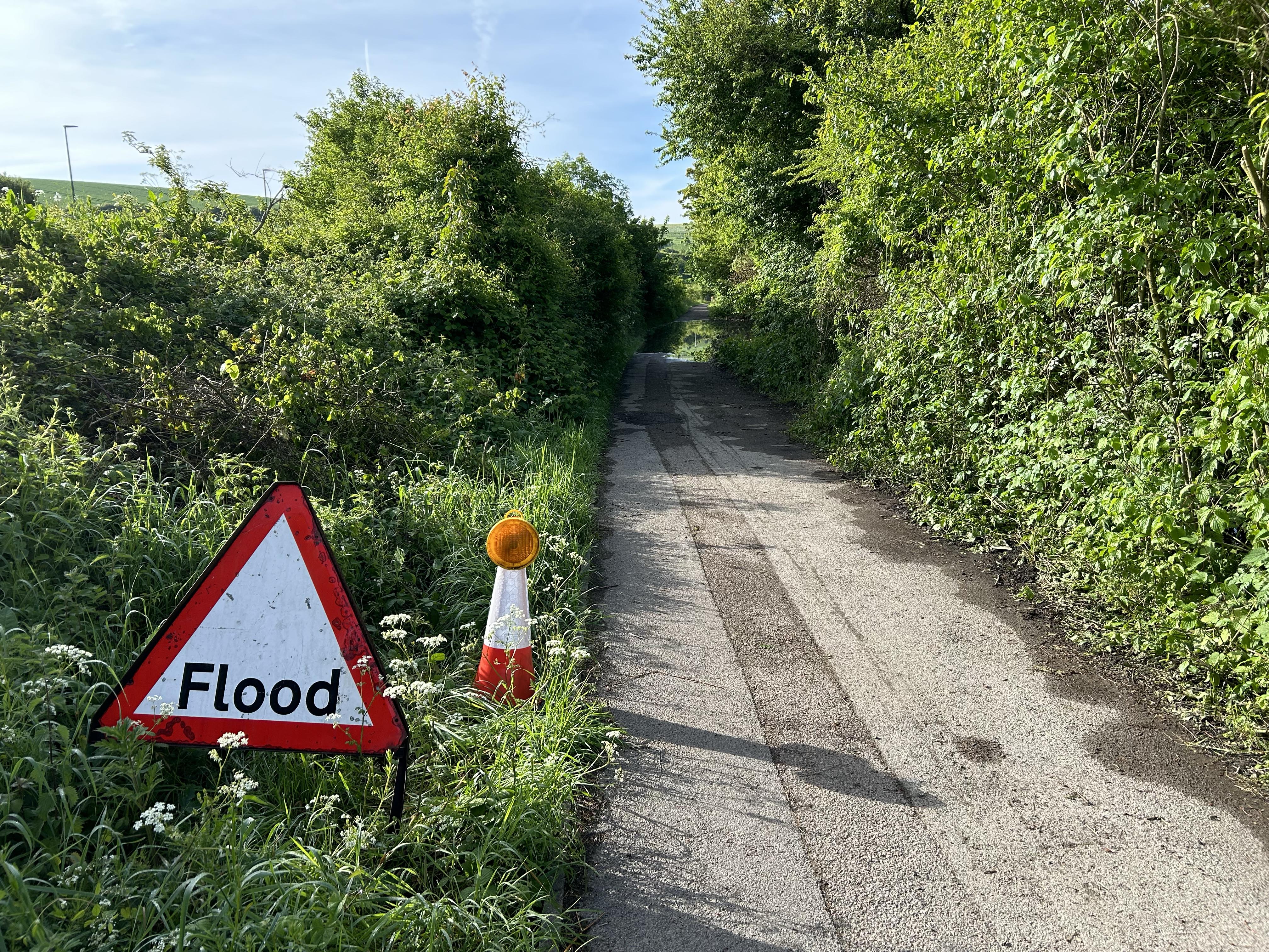 Footpath flood at top of The Downs.
Until now, my previous walk completed in a single day was no longer than 21 miles. This pushes that forward to 34 miles. I don't exclude the possibility of going further, but the available hours of daylight will restrict what I can achieve at 2.8 MPH. It is over fifty years since I had the puff to run anywhere. An 05:00 departure is necessitated. Most sections of this route were documented after previous roams, so I leave my camera at home to save ¼ kg. As the afternoon wears on, the 500 ml of water I brought also proves inextravagantial.
Well before then, however, it is clear that my day is not off to a good start. The road to Redhill is paved with good intentions; especially ones involving more walking in footwear for dry conditions. Might you hazard a guess why that ambition is unfulfilled, so far, in 2024? April brought the sweet spring showers - on and on for hours and hours.[4] Then my dentist puts me on anti-biotics. It's unclear they are doing anything for my tooth, but they certainly don't improve my legs. I reach the station near Redhill to learn that the 05:14 is delayed by n minutes.[5] Eventually, I arrive in Brighton 15 minutes late. It's OK, but I forgo a stop for coffee. A desperate measure. Let's walk.
It isn't yet 7 AM, but the sun is up and Preston Park is busy as usual with joggers, cyclists, skateboarders, commuters and promenaders. The A23 is nearby for most of today, and Gatwick is coming up, so if peace and quiet is what you seek then this isn't the walk for you. In a couple of weeks I shall be walking Cornwall, and hope to recuperate then.

Success smells like Brighton.
Laurence Olivier.
All goes well until Pyecombe. On my reconnaissance walk I noted the flood across the path. My naive expectation that it would be fixed today is refuted by the increased depth I see now.[6] I don't wear wellies for this walk, but nor can I complete the rest of it with a bootfull. Well, there is about one inch of fairly dry grass round the edge. I can use that to shuffle by the flood, provided I cling on to the hedge to prevent myself falling backwards into the inundation. This hedge, that I must grip firmly, is a mix of hawthorn and brambles. It supplies me with plenty of tactile feedback as I swing along, Tarzan fashion, from one branch to the next 😫

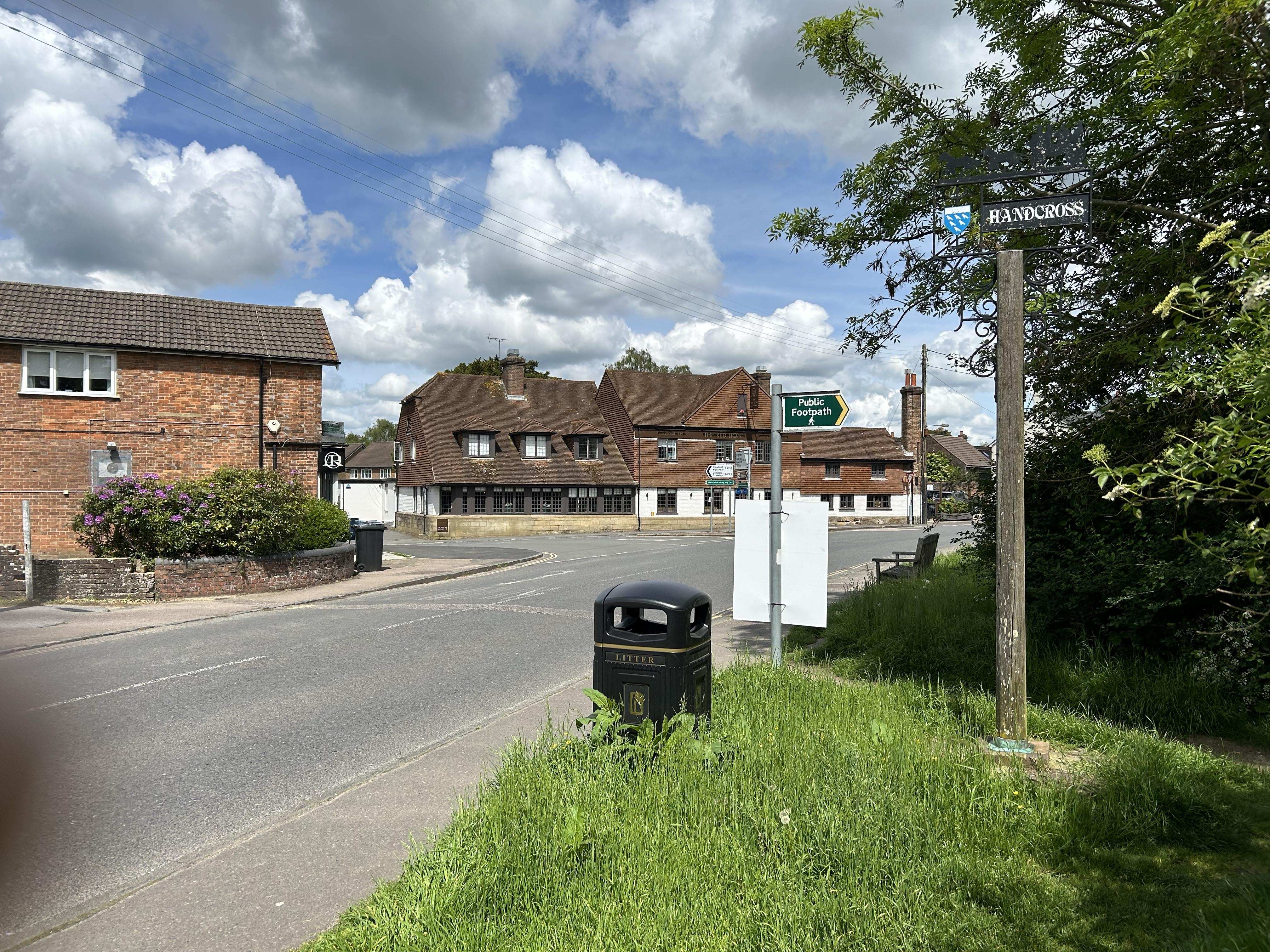
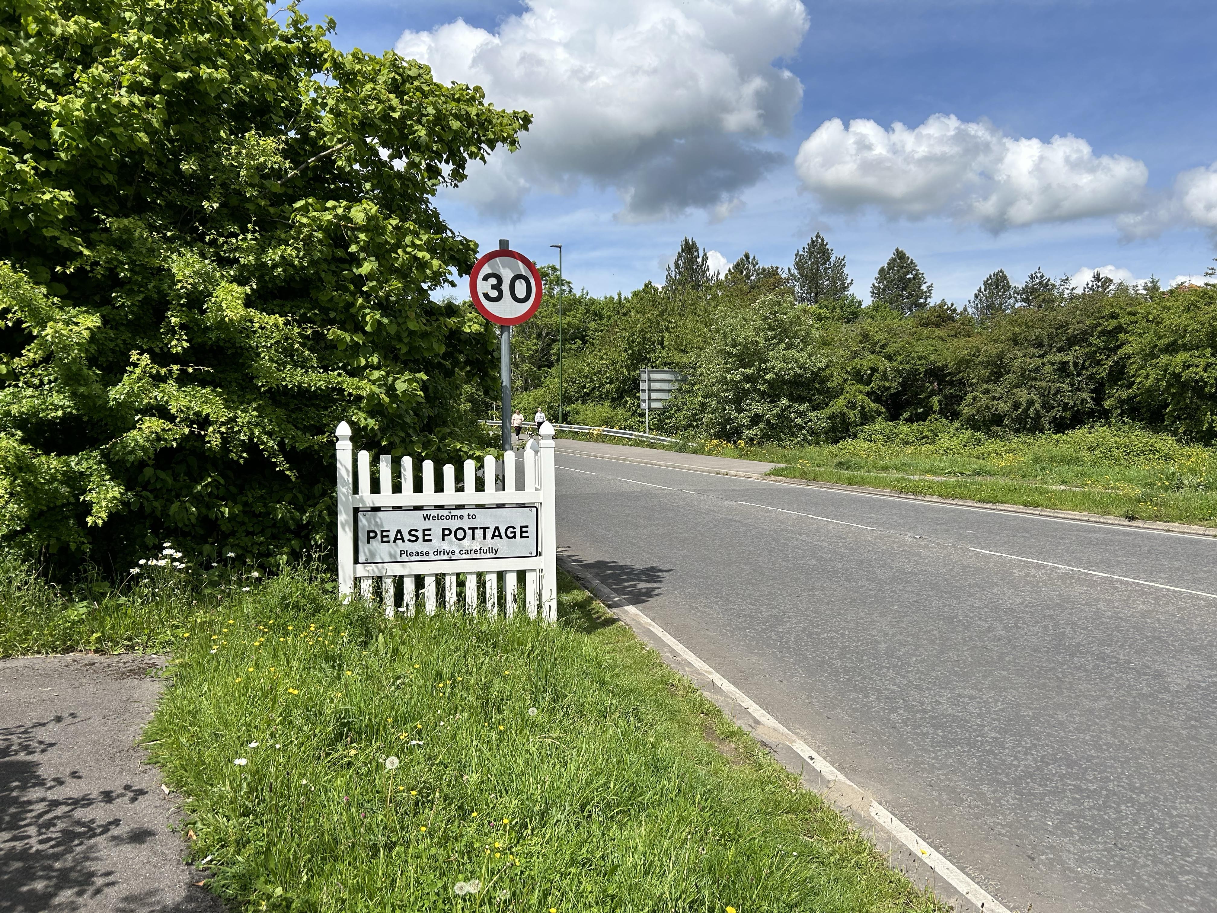
An early plan for today involved a stop for lunch at Hickstead. However, it's barely 09:30, so I'll have to think up a Plan B for grub. Next section is the climb up from Staplefield Road to Handcross. This is easily the least pleasant ¾ mile on the whole walk. You have a climb of 76 metres to accomplish over that distance whilst never more than a couple of metres from three lanes of traffic thundering past at 70+ mph. The scenery is an unvarying collection of litter, debris from numerous RTAs and the corpses of earlier ramblers also loosing the will to live through any more of their walk along this stretch of the A23. I hit Handcross before midday, so no food there, either. BTW, that is my finger showing left of shot. I just cannot hold a 'phone correctly to save my life. Wish now that I had packed my camera. Half an hour later, I reach the M23 services at Pease Pottage where I stop to take on water and change my socks. My dodgy right foot has held up, but both trotters are ominously damp, and the day won't start cooling for another four hours 🥵
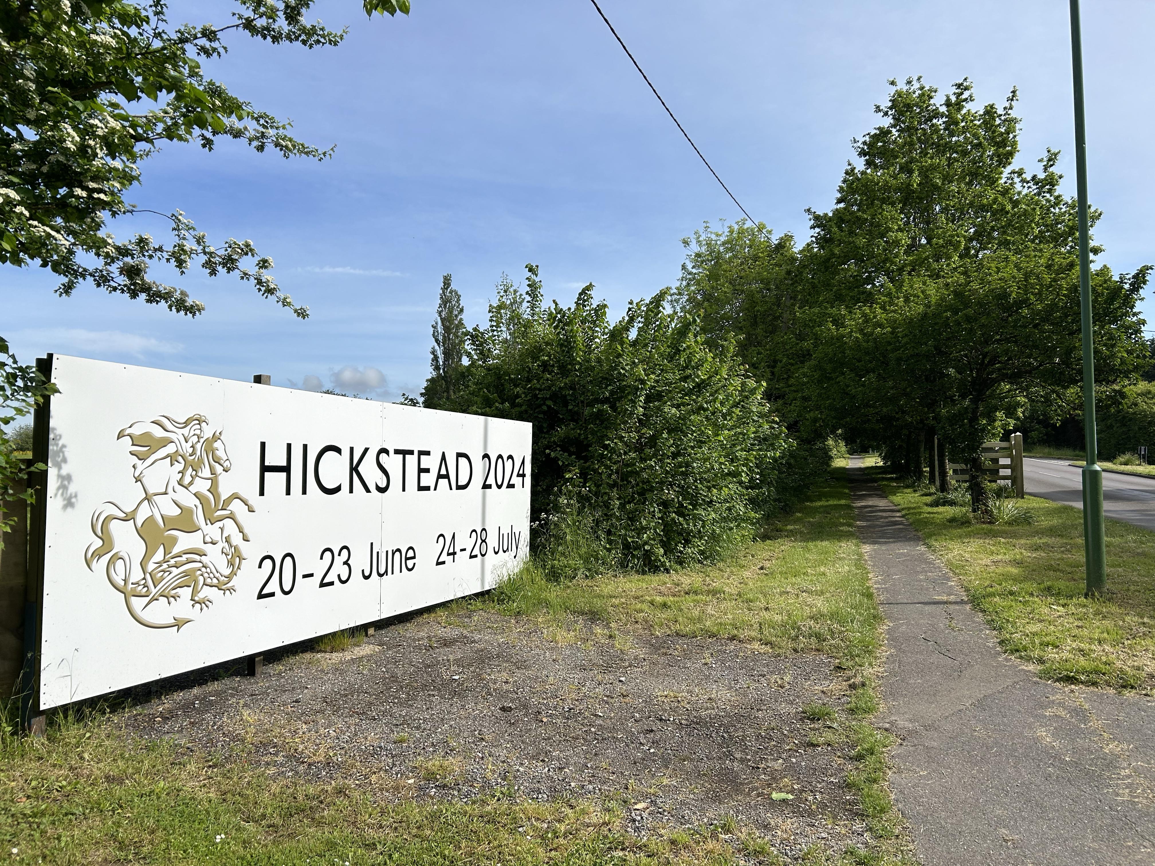
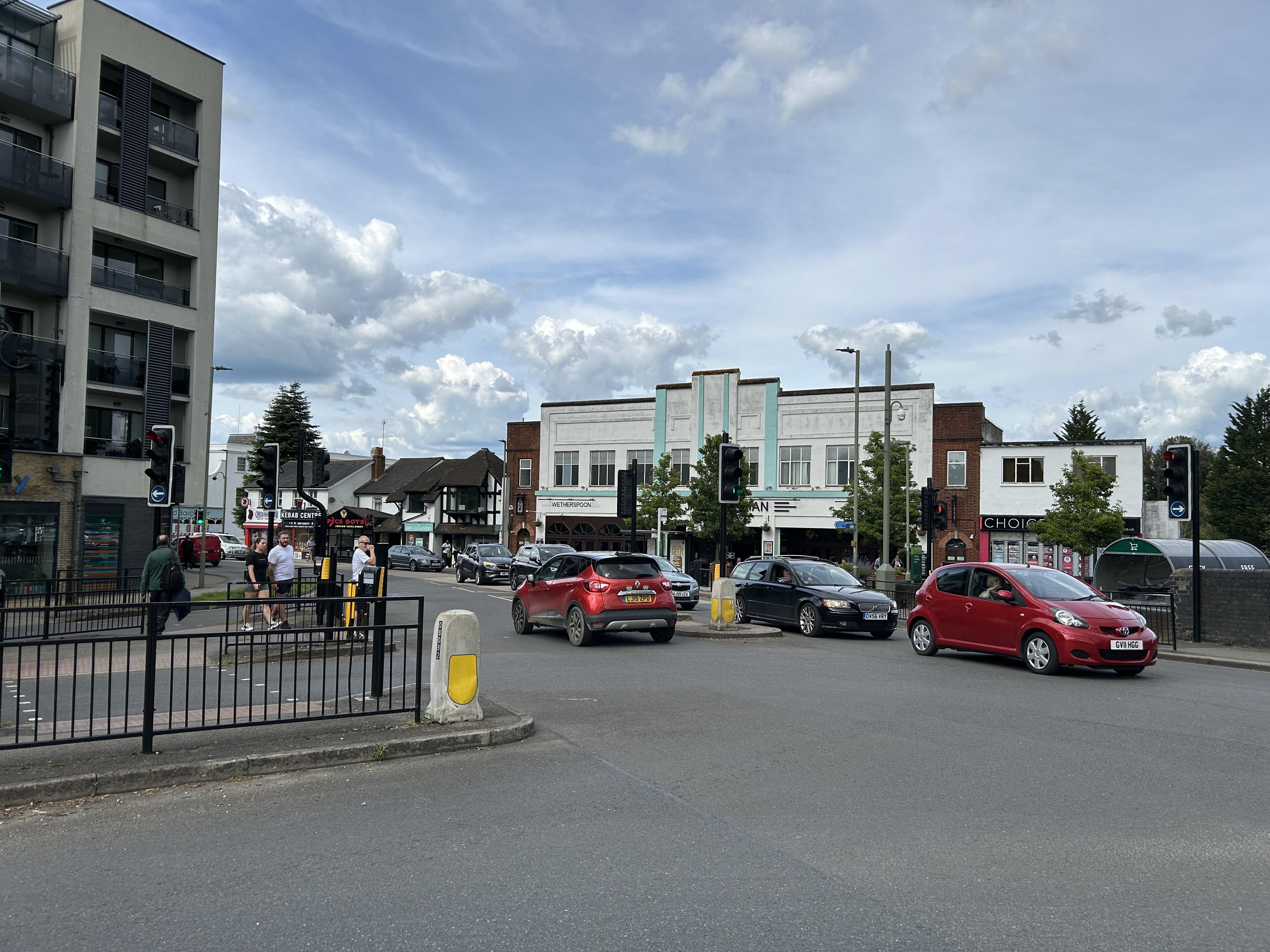
On my previous Brighton expedition, I described one of the changes in its course that the A23 has undergone.[7] Following the current walk, I begin to wonder how the London-bound Brightonian might have navigated after Pease Pottage in 1945 (before the airport was built). Today's choice is the M23, but that was no more an option for our survivor of WW2 than it is for me in 2024. The bypass for Crawley was still on the drawing board in 1946, so the A23 continued north, on what is now the A2219, through Crawley High Street and up to the future Tushmore gyratory. From there, the A23 still continues northward until Lowfield Heath. Before it was diverted east of the airport, the A23 went right across the position of the main runway (51.1493,-0.181939), and traces of its route are still visible.[8] ¾ mile north, it crossed the River Mole at Timberham Bridge.[9] The old route can now be picked up once more at the southern end of Povey Cross Road.[10] Our traveller of old would most likely then continue north through Hookwood and Reigate on the A217. However, you can still elect to swing east there and take the A23 from the Longbridge Roundabout through Horley and Redhill[11] ... where I go now.
The OS is not minded to follow the A23 out of
Horley. On most rambles I would agree with it but, today, I
don't really want a meander. It's perhaps not worth a complaint
to Southampton about it.
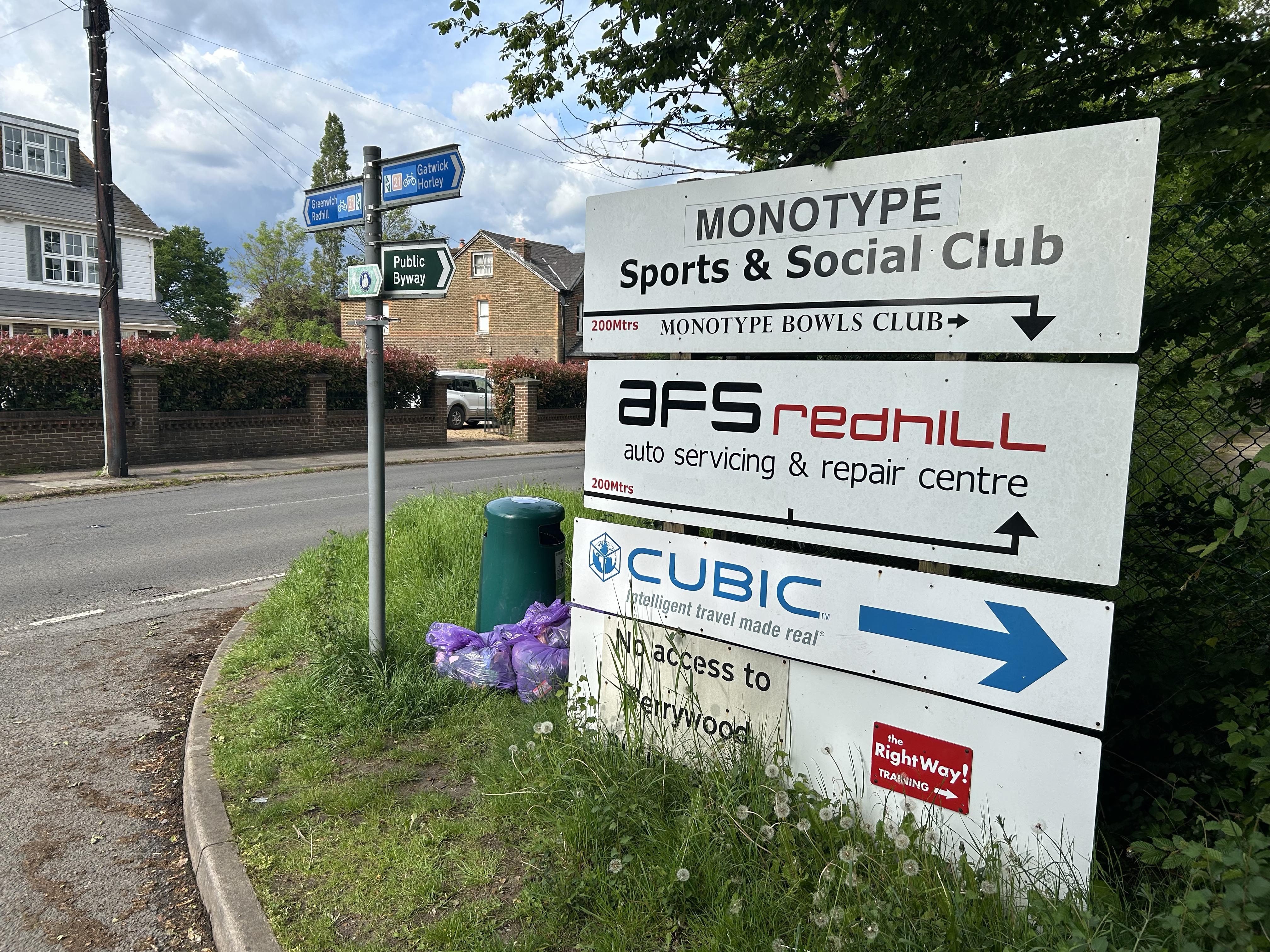
Salfords arrives soon enough, so I celebrate with an ice cream.
Hey, don't knock Salfords; industrial areas in Surrey are an
endangered species. Estate agents now deploy the euphemism
'North Gatwick'. In my youth, it was home to Mullard Ltd., which
I half fancied working for. Monotype has seen change, too
😞
Earlswood
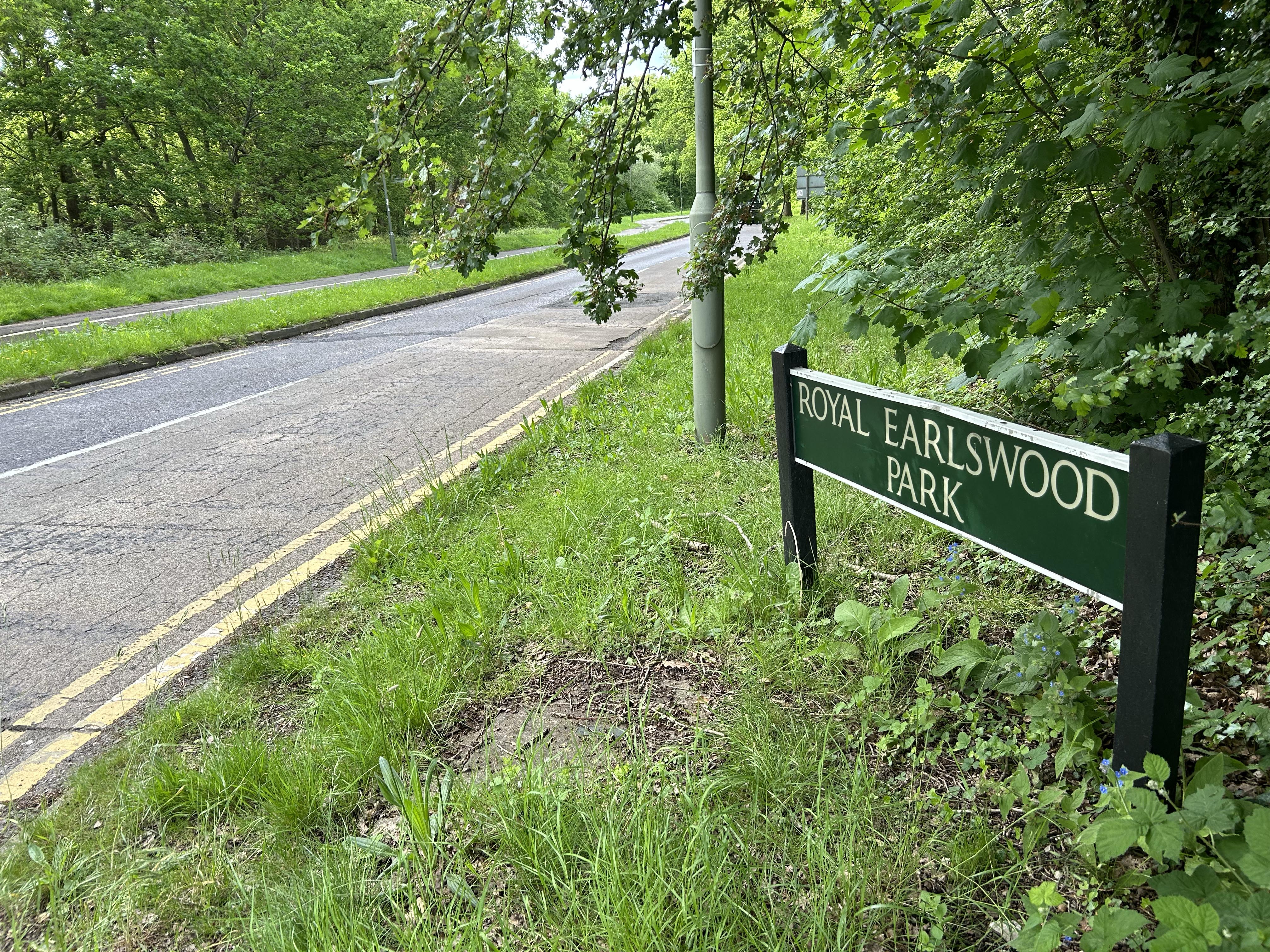
is firmly in home territory. I go regularly to the tip
there with my worn out, redundant and malfunctioning household
items. I visit the hospital with my worn out, redundant and
malfunctioning anatomy.
Redhill: the final leg. The OS is still in playful mood - advising a 60 metre climb up Redstone Hill, oblivious to the fact that I am on my last legs. You may have come across news reports of motorised transport, entangled in some calamity, when the excuse "My satnav told me to go that way." is proffered. I now exercise my rights to the equivalent defence on two legs. Actually, the descent from Redstone Park to Noke Drive is more exhausting because it uses 'brake muscles' that rarely get exercised to any degree. It is a complete mystery how any pedestrian can avoid a broken neck here in icy conditions.
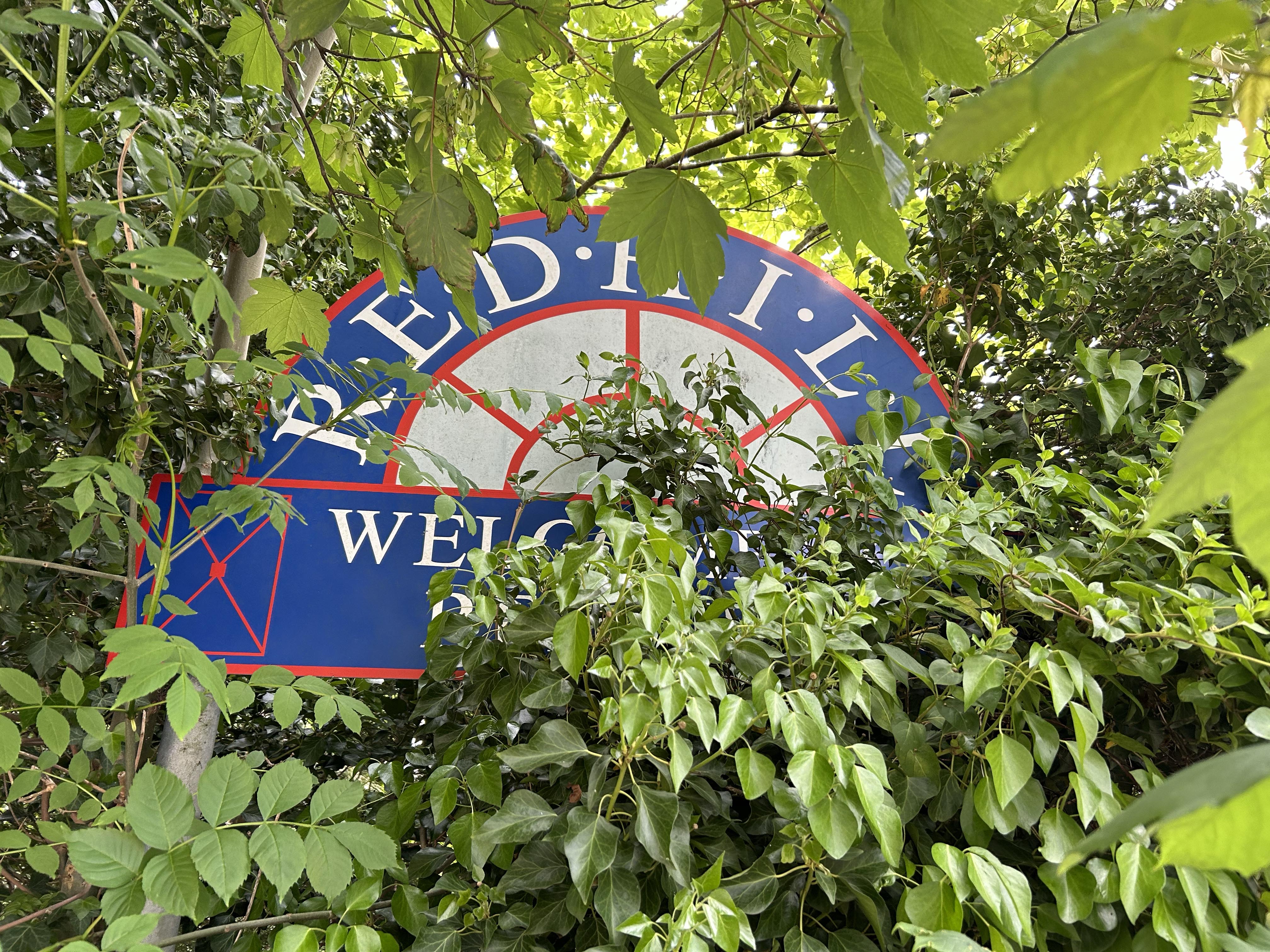
The previous 33 miles or so have seen almost continuous tarmac, but now comes the only bit of unmade surface on the whole walk. Oddly, it skirts the Carrington School, where attempts were made to educate this netizen. My journey there from home was made by bus. Walking there was not a serious proposition. Much else now also escapes my better judgement.