Parametric data
- Route name:
- Dorking2
- Start point:
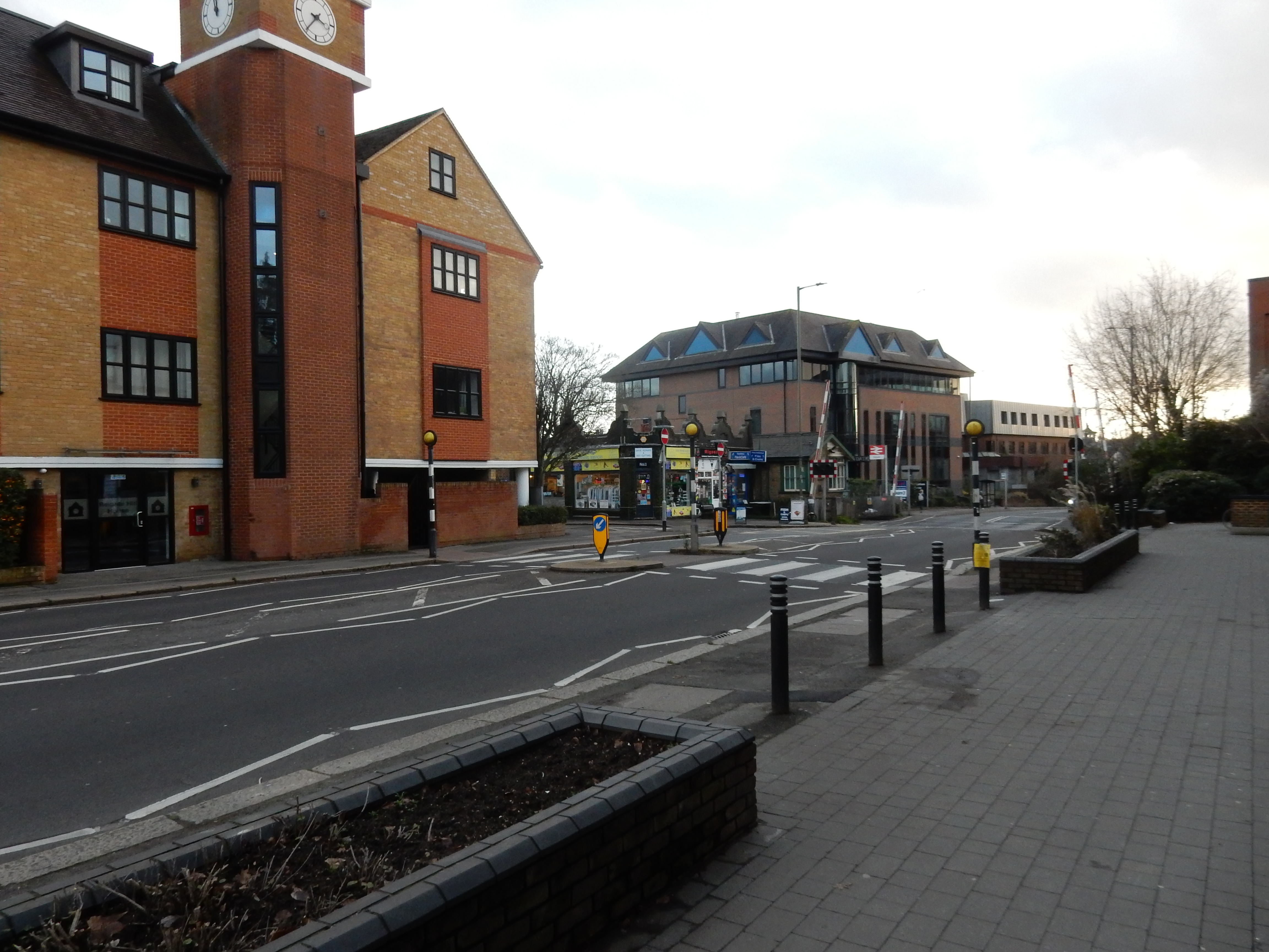
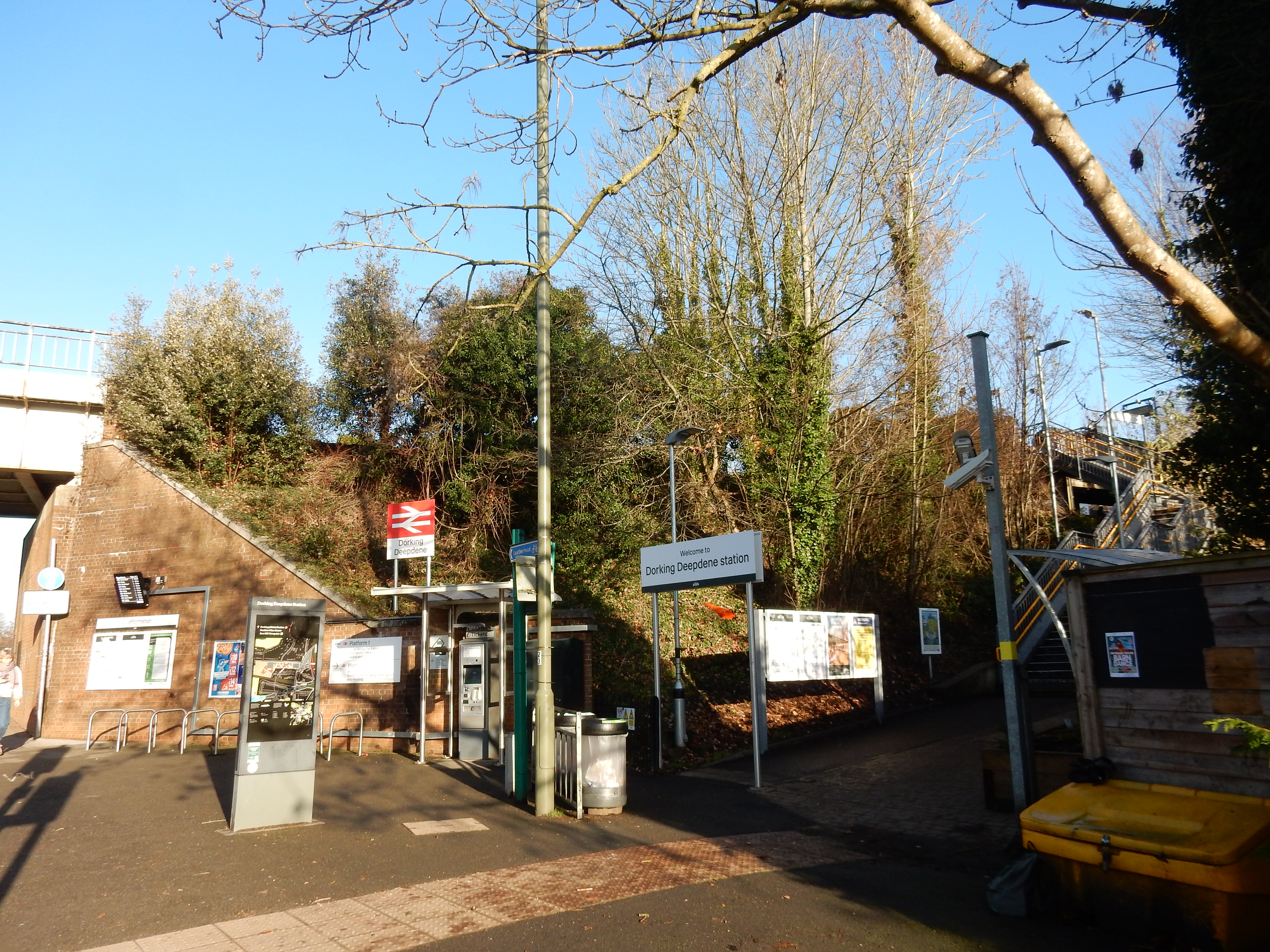
- Dorking, also shown on ///what3words.
- End point:
- Reigate, also shown on ///what3words.
- Synopsis:
- A short distance route[1] offering a variety of walking surfaces and scenery.[2] The first ⅓ of the walk leaves the Dorking suburbs along the Mole valley and the Old Reigate Road. The mid section runs along the foot of the Downs,[3] beginning after Brockham and reaches (via a steep ascent) the North Downs Way. This is followed quite closely until Colley Hill. The walk finishes with a descent of Reigate Hill. The A25 or M25 are always within earshot. Due to ash dieback, the major landowners, including SCC, advise against access during high winds. Much of the route is a designated SSSI.
- This route on OS maps:
- https://explore.osmaps.com/route/29924881/ ...
- OS Explorer sheet ref(s):
- 146.
- Distance:
- 7.5 miles walked, 5.2 miles flown.
- :
- 5.2 hours.[4]
- :
- 3.0 hours.[4]
- :
- 5.3 hours.[4][5]
- Ascent:
- 279 metres.
- Stiles:
- 0 (zero).
- Landmark of note:
- The lime kiln at Betchworth.
- Feasible excursion:
- Three alternatives.
- Waypoints:
- Pixham, Brockham, Betchworth, Pebble Coombe, Colley Hill.
- Fuel:
- Packed lunch after Pebblehill.
- :
-
 9°C,[6] 🌤️
Clouded over by the end of the mid-winter day, but dry and
fine.
9°C,[6] 🌤️
Clouded over by the end of the mid-winter day, but dry and
fine.
- :
-
0°C,[6] ☀️
Cold, dry and sunny with a dusting of snow.
- :
-
 11°C,[6] 🌥️
Drizzle until 13:00 then longer sunny spells.
11°C,[6] 🌥️
Drizzle until 13:00 then longer sunny spells.
-
Free of in-road walking: -
The Old Reigate Road out of Dorking is about the only
stretch. Low traffic. Coppice lane has verges lower down.
-
Footpath construction: -
 Most of the route is unmade.
-
Footpath condition:
: -
Some mud, particularly on the northward ascents, and also
Colley Hill.
-
Footpath condition:
: -
Less mud (the ground froze) but Reigate tarmac
made treacherous by ice.
-
Footpath condition:
: -
 After rain every day for the previous five weeks - indescribable.
Route popularity:-
To meet others, choose a route up Box Hill.
Vistas:-
143 metres is this walk's highest elevation, but there are
views across the Mole valley.
Blackberries:-
 Another eight months before they appear.[7]
Route map.
Walk notes.
Walks from Dorking to Reigate include some of the finest parts of the Surrey Hills National Landscape. One of at least four routes may reasonably be selected:- Across the top of the Downs.
-
This is a traditional choice. Access by rail to the normal
start point is at Box Hill and Westhumble
station[8].
From Westhumble Street you go under the A24 via a
subway and walk ¼ mile south to the
North Downs Way.
Unfortunately, the resident from Reigate (or other point on
the Reading / Tonbridge line) often finds his ticket does
not support the change from Dorking Deepdene (DPD) to
Dorking (Main) (DKG). There is a 465 LT bus once an hour but
a ¾ mile walk north along the A24 takes you to the
NDW.
Shortly, you then ford the River Mole via the famous stepping stones, and begin a stamina sapping slog up to the top of Boxhill. If you are not counting change then the cafe there could appeal on a walk from Reigate, but it's too early for a stop heading this way.
Thereafter, you face over a mile of Boxhill Road. It has a good footway through Box Hill village, but you can't call it a country walk; too much of the urban obscures your view over the Mole Valley.
Worse then follows because the footway on Boxhill Road runs out almost a mile before the next one along the B2032 Dorking Road. That, and the B2033, block progress eastward. You are forced northwards into a long diversion across Headley Heath.
-
Out towards Brockham,
and then the NDW. - No need here to change onto the Leatherhead rail line. There are two fairly steep, but reasonably short uphill stretches. The main part of the walk meanders along the foot of the downs, above the northern side of open fields, but is still high enough to offer some views. Pebblehill Road takes the NDW upwards on a permissive path. Enjoys the most access to NT and SWT land, but you are again sandwiched between the A25 and M25. Additionally, as with most of Surrey and Sussex, walkers enjoy the usual serenade from Gatwick.
- The footway of the A25.
-
I have taken this route three times. It is mostly on the
flat, contiguous from Dorking to Reigate, and particularly
good in winter when mud or ice makes the others difficult.
Navigation is a doddle - just follow the
 signs. I can personally tolerate the traffic noise, but you
may feel there are better ways to spend your afternoon.
signs. I can personally tolerate the traffic noise, but you
may feel there are better ways to spend your afternoon.
- Through Brockham.
- The southernmost route is closest of all to the Mole and provides correspondingly flat but often muddy going. The noise from the M25 is less noticeable. A full set of golf clubs is essential. After Brockham there is some in-road walking best tackled outside peak hours. Vistas are limited; you look back up at the Downs rather than from them.
If urban Dorking is not to your taste then fear not. Inside ten minutes I pass by the allotments and the sewage treatment works in Pixham Lane (a must on every walk) and cross the footbridge over the river behind the Watermill to begin an ascent of the slope below Boxhill towards Lower Boxhill Farm.[10]
After the farm, the Old Reigate Road is without a footway or verges for almost ½ mile but, for the last 100 years, has borne little traffic. Deepdene Bridge, which now carries the A25 over the Mole, opened only in 1927.[11] The footway on the northern side of the A25 does not begin until the westernmost cottage at Puddenhole but, fortunately, the verge is useable by any pedestrian equipped with noise-cancelling audio gear.
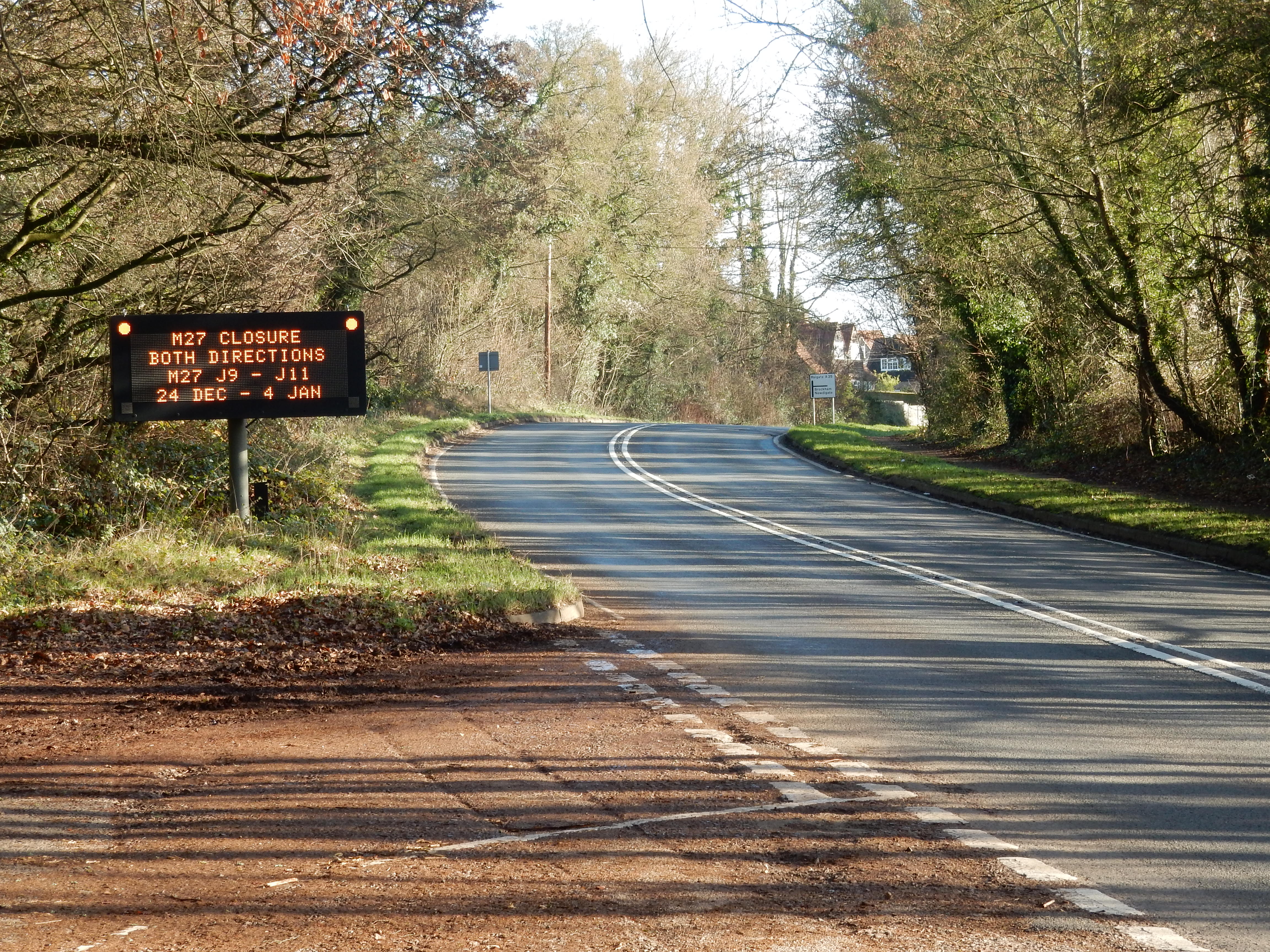
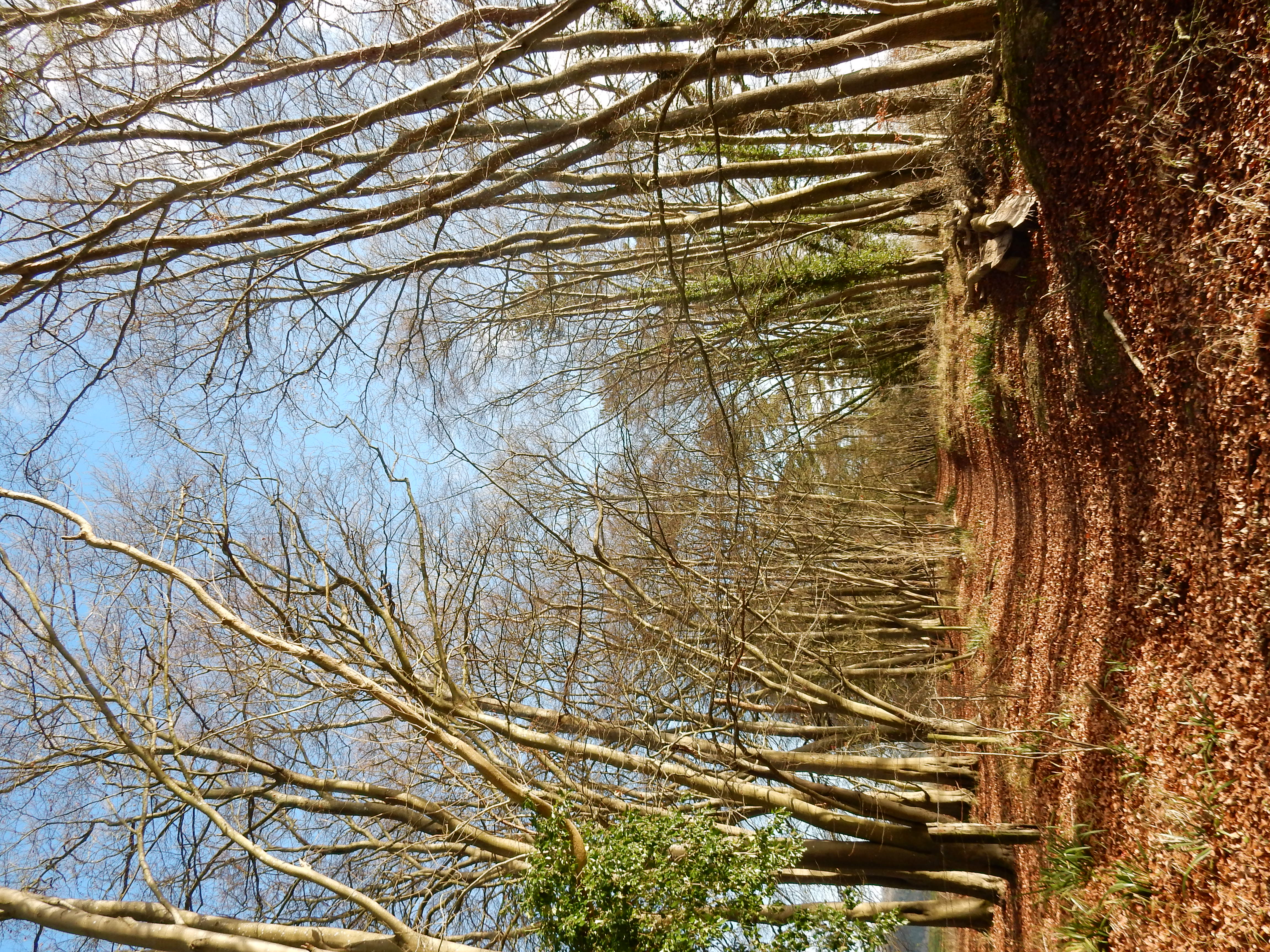
The path upwards from the A25 to the Pilgrim's Way[12] is a slippery, narrow, 13% gradient, popular with dog-walkers, and tending towards a DAB.[13] Here, for the third and last time on this walk, I cross the Reading to Tonbridge rail line, but the trains will be heard (and sometimes seen) until the end of the walk.[14] A few metres east of the gate is a WW2 pill box; one of a chain of similar fortifications placed along the line of the Downs at intervals of generally less than a mile. How effectively they could stop a column of Panzer tanks screeching along the A25 is uncertain. I always feel that the one-way system in Dorking is the ultimate deterent to transport of any type.[15]

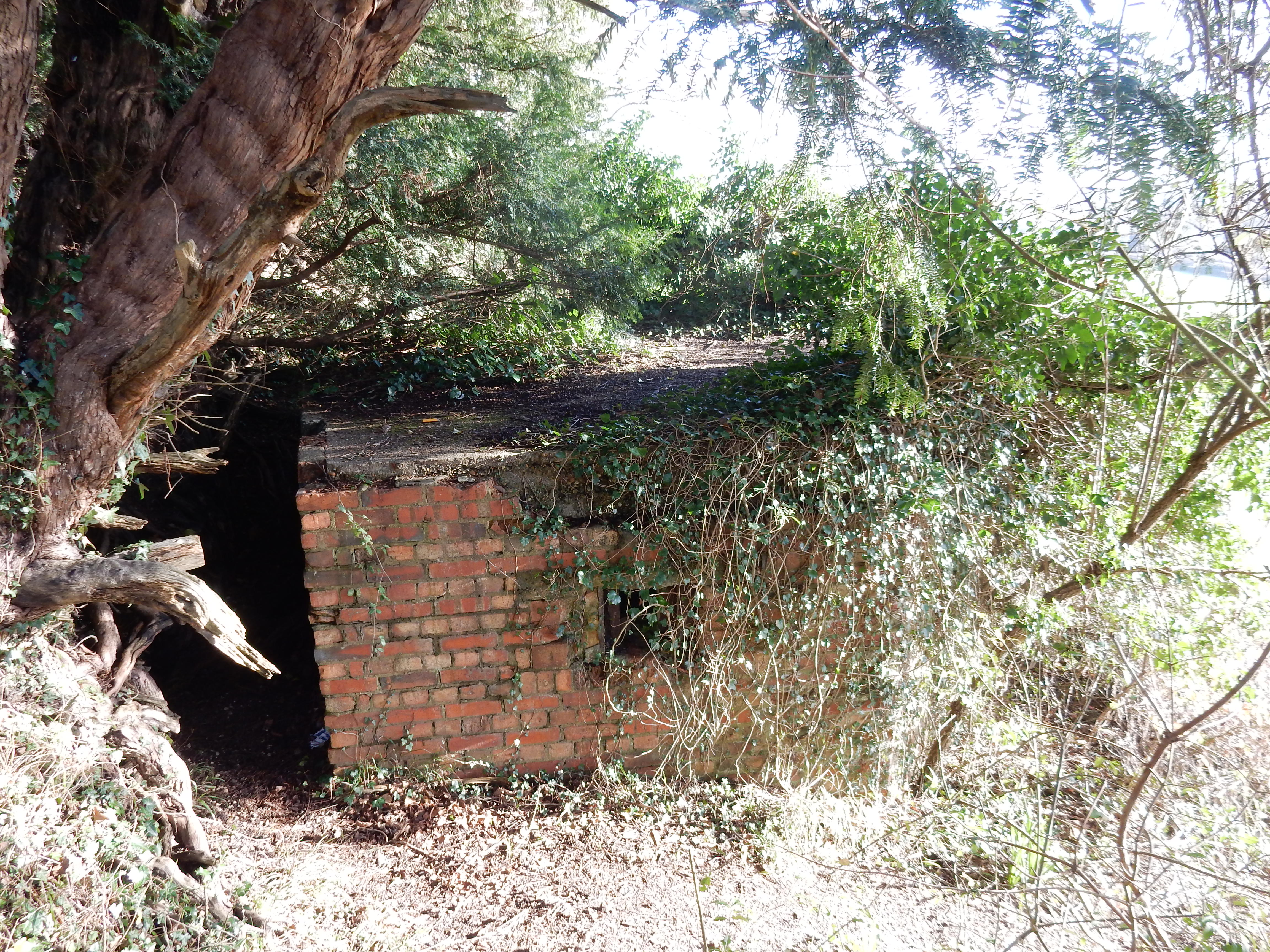
The next landmark along the way is the old lime-kiln at Brockham Quarry. This is now so unstable that it will likely reach the rail line at the bottom of the hill before I do. At the Brockham Hills, the OS planner lurches upwards to reach the NDW at the earliest, avoiding the uneven terrain approaching Betchworth, but it is a very steep climb away from the foot of the downs used for the rest of the walk.
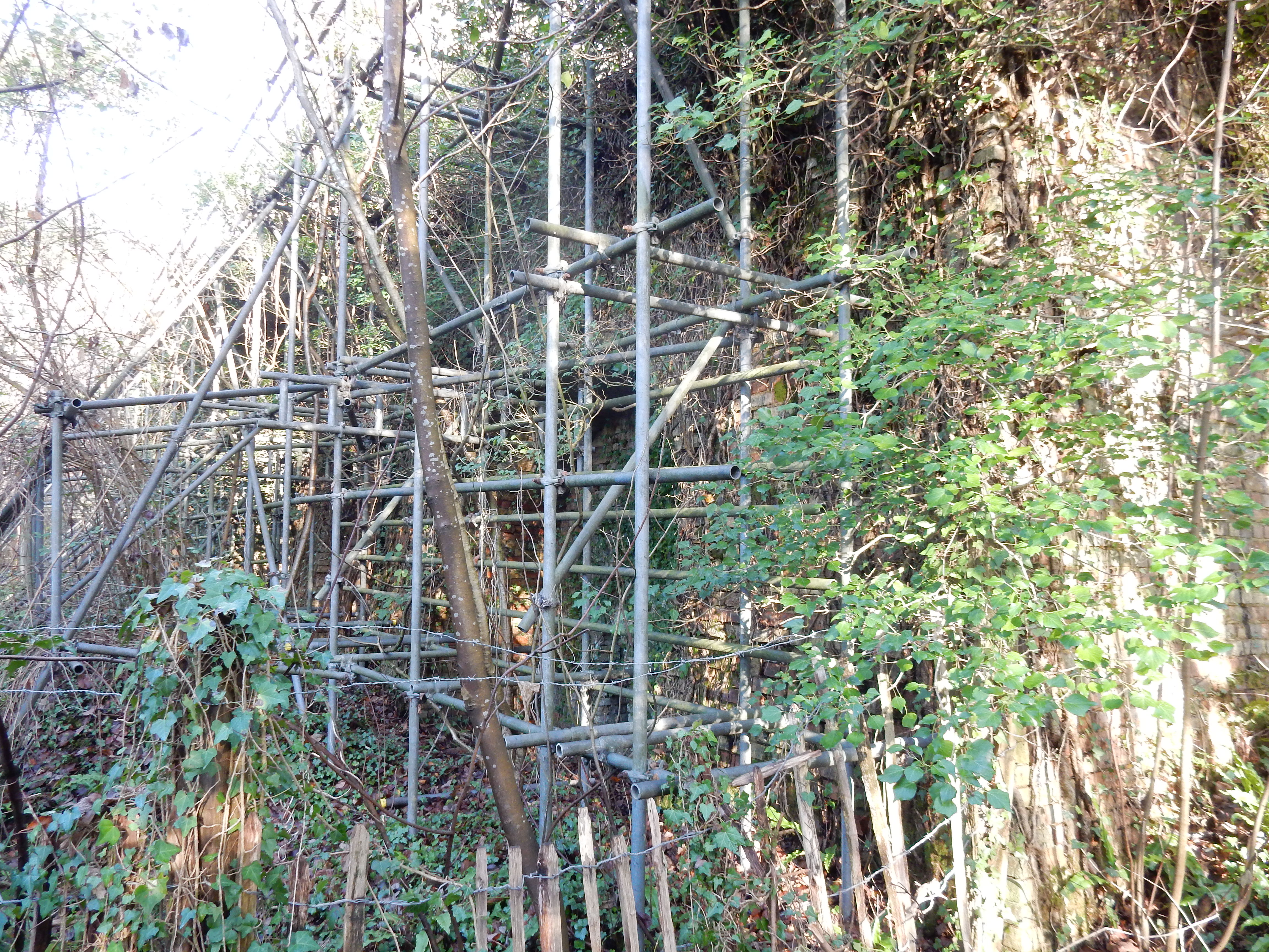
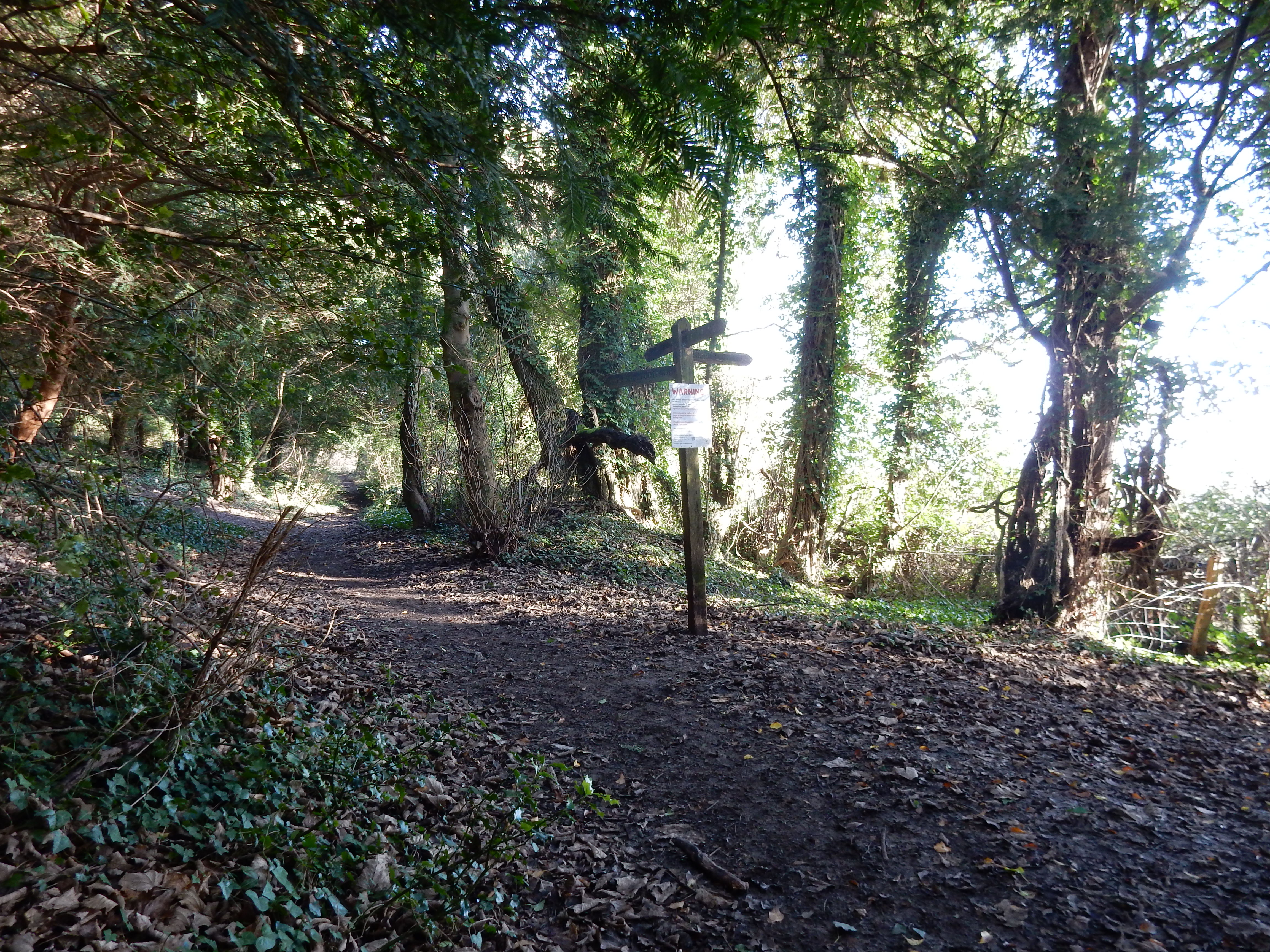
The lime kiln at Betchworth operated for nearly a century but is today part of an SSSI managed by the Surrey Wildlife Trust. It's odd to think of Surrey as a mining area but, in the past, it was so. Sand is still quarried below the Downs east of Godstone. This walk passes several chalk pits but, neither the NT nor the SWT being keen to resume commercialisation of the North Downs, all are disused today. In nearby kilns, the chalk was converted first into calcium oxide. Adding water to that resulted in the lime needed for old-style mortar.
Shortly after passing the row of miner's cottages, I
begin my ascent of Pebblehill. At the last house on the left,
the footway runs out but ¼ mile of
permissive path
comes to the rescue. At one point along this you gain a
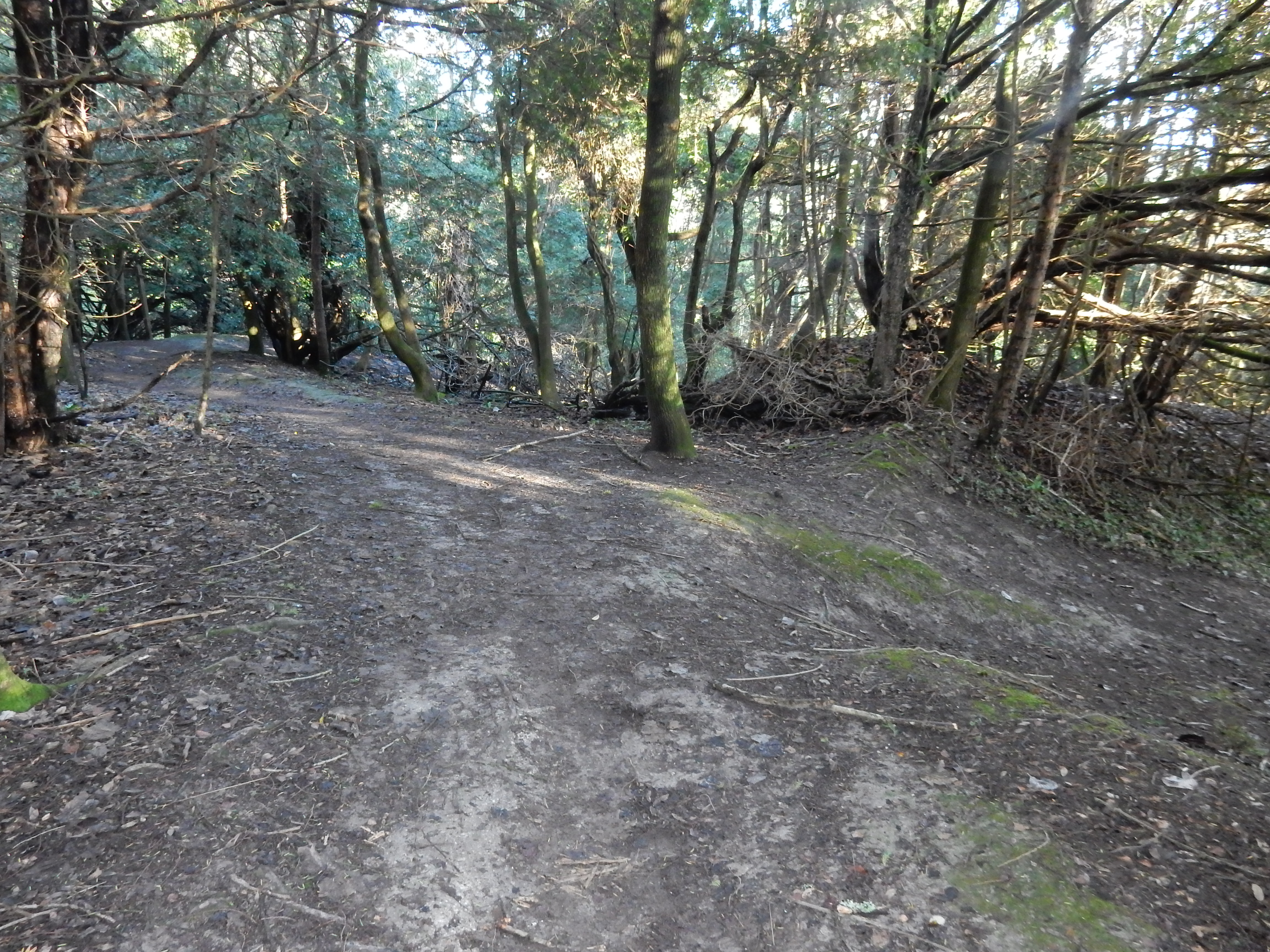
view
of the
transmitter towers
at today's destination three miles ahead at the top of Reigate
Hill. Now back on a footway it's time to cross Pebblehill Road
⚠️
and continue eastwards along the NDW.

For ¼ mile from the road, the perfectly straight path is a rather curious one. The fences to each side are far enough apart to demarcate a drive or roadway, and are lined with the remains of a fine avenue of beech trees. On the right, as you enter, is a lodge or gatehouse. It all suggests the approach to a large farmhouse or country residence, but the eastern section of the path terminates nowhere but a field boundary. AFAIK, no building was ever here.
The only way of catching a train I ever discovered is to miss the train before.
The NDW thereafter turns left, uphill to Dawcombe Wood: another SWT site. Immediately, though, progress resumes eastward, toward another disused chalk pit at Buckland Lane. Follow the wooden palings along the lane to the south-eastern corner of the pit, where the NDW turns up some steps again to the left. After those, the route tends to hold the contour line quite closely,[16] dropping just 30 metres more by the end of the walk in Reigate. That ought to make the going easy, but, at some points, the path narrows to a U-shaped groove, little more than a foot wide.[17] Colley Hill, in particular, is also often muddy.

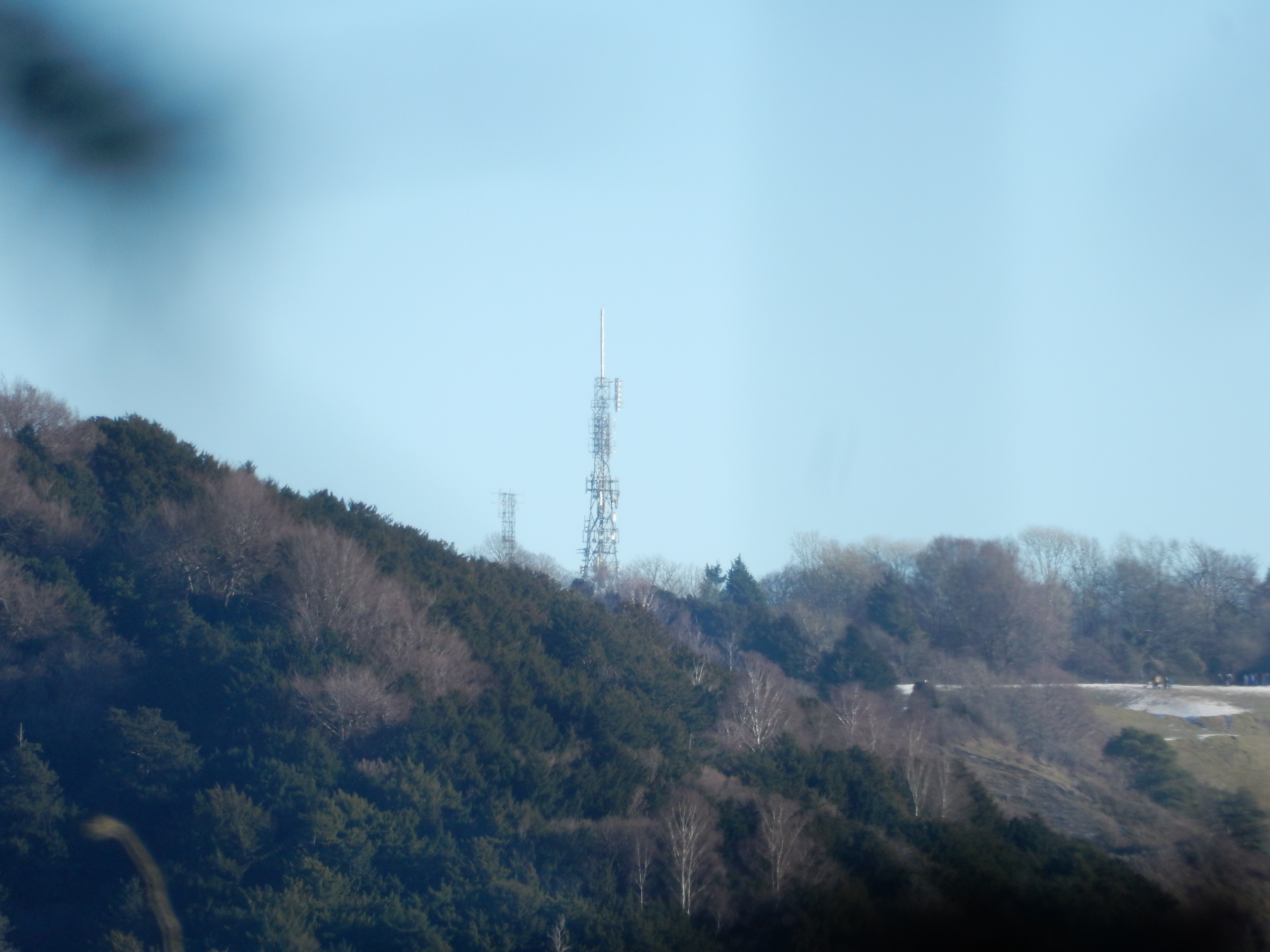
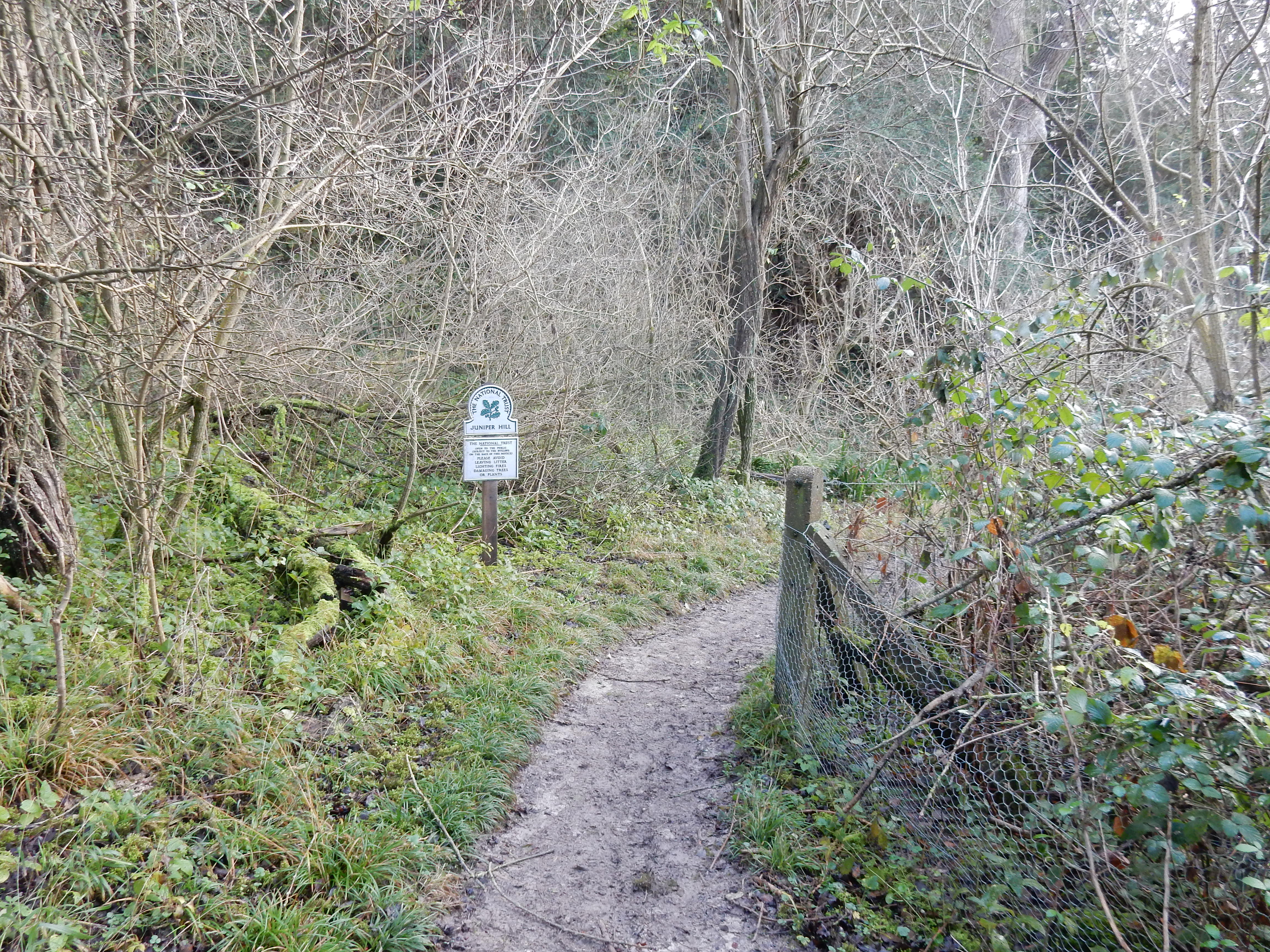
The walk continues below Juniper Hill and more NT owned land along the Pilgrims' Way. The 2025 walk delayed its descent of Reigate Hill until the road called ‘Pilgrims Way’.[18] For the 2026 re-walk, I therefore turn right down the alley running past the back of houses in Colley Way. Even though it is slightly longer, my attempt on the 22nd Feb. descends into Reigate by the more scenic Greensand Way, 200 metres further east. There's a little more 'in-road' walking along the rather narrow Coppice Lane, but there wasn't much traffic.
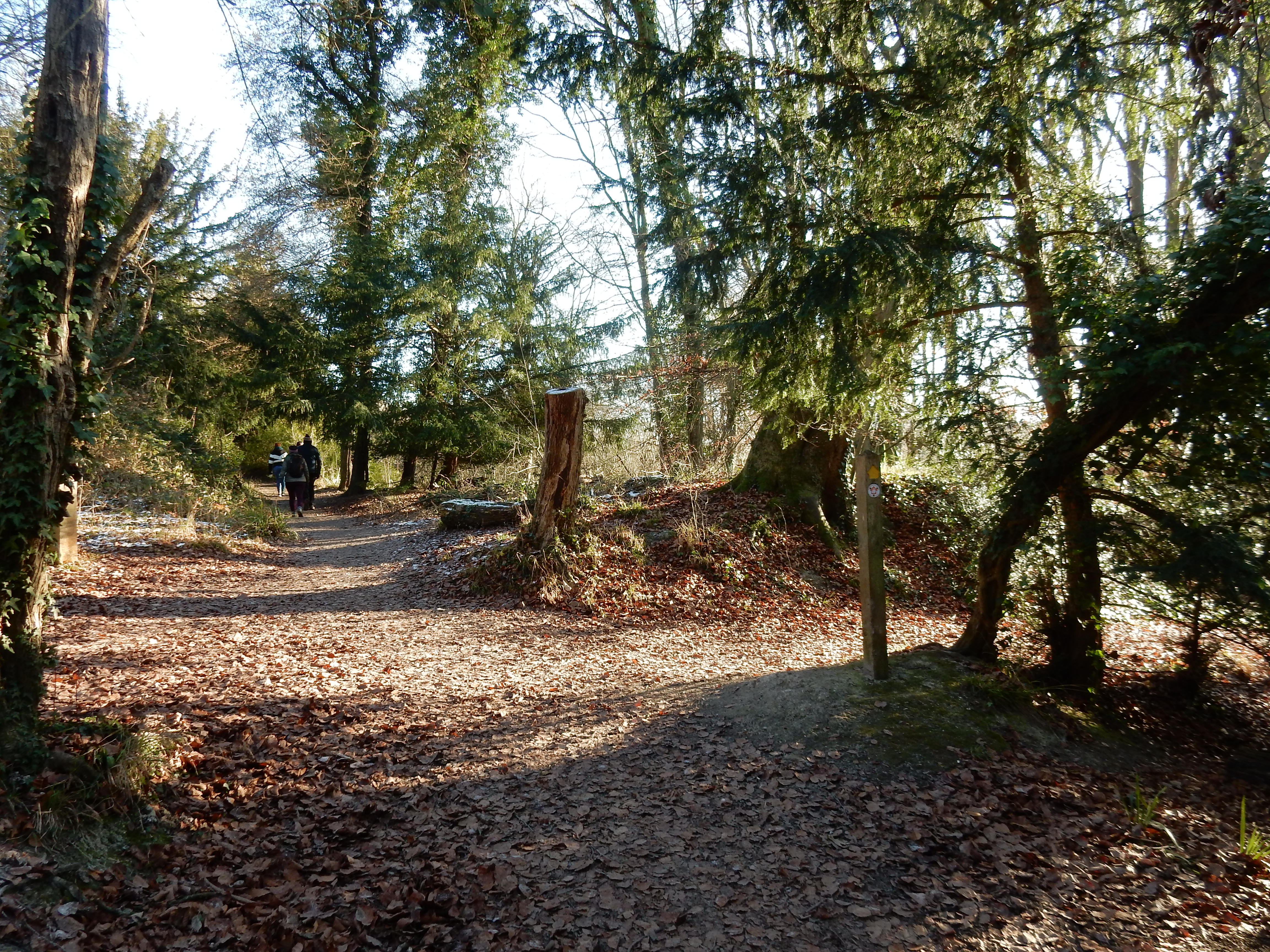
Although it is now January, snow and ice on the NDW have given
no trouble. Now I am back on urban pavement it's a different
story. A passer-by cautions me about the hazard ahead, and her
warning is justified. Vehicles pick their way gingerly along
Somers Road ❄️
At the end of that, however, is a view of the
level crossing
at the bottom of the A217. This, according to my unsurpassed
orienteering skills, indicates a feasible route towards the rail
station.