Parametric data
- Route name:
- East Grinstead station.
- This route on OS maps:
- https://explore.osmaps.com/route/14327111/... .
- Distance:
- 13.3 miles.
- 6.8 hours.
- 5.0 hours.[1]
- Topology:
- Point to point (northwards).
- Ascent:
- 232 metres.
- Stiles:
- Twenty nine. Count 'em 29: a new walk record. However, a number of these stiles are often or always 'optional' in being next to an unlocked gate.
- Landmark of note:
- My first visit to: Nutfield Biodiversity Park The public path affords the odd glimpse of the lake and its wildfowl. Binoculars are handy.
- Waypoints:
- Felbridge, Newchapel, Horne, Outwood, South Nutfield, Nutfield, Mercers Park.
- Feasible excursion:
- After leaving Croydonbarn Lane the original route for this walk went northwards, reaching Outwood via Whitewood and Gayhouse Lane. This is shorter and easier.
- Avoiding roads:
-
 About 300 metres of Croydonbarn Lane. For a short
stretch the verge isn't much use but, given the length
of this walk, a 2-banana rating seems niggardly.
About 300 metres of Croydonbarn Lane. For a short
stretch the verge isn't much use but, given the length
of this walk, a 2-banana rating seems niggardly.
- Footpath construction:
-
 Start on tarmac. Otherwise it's welly way in winter.
- Footpath condition:
-
 Several parts ploughed up. Overgrown hedge breaks. The
real thumbs down is for Eulyn Farm (see notes).
Several parts ploughed up. Overgrown hedge breaks. The
real thumbs down is for Eulyn Farm (see notes).
- Refreshments:
- There's the Bell at Outwood, but check that food is on if you need it.
- Blackberries:
-
OK around Nutfield Marsh.
Route map and notes.
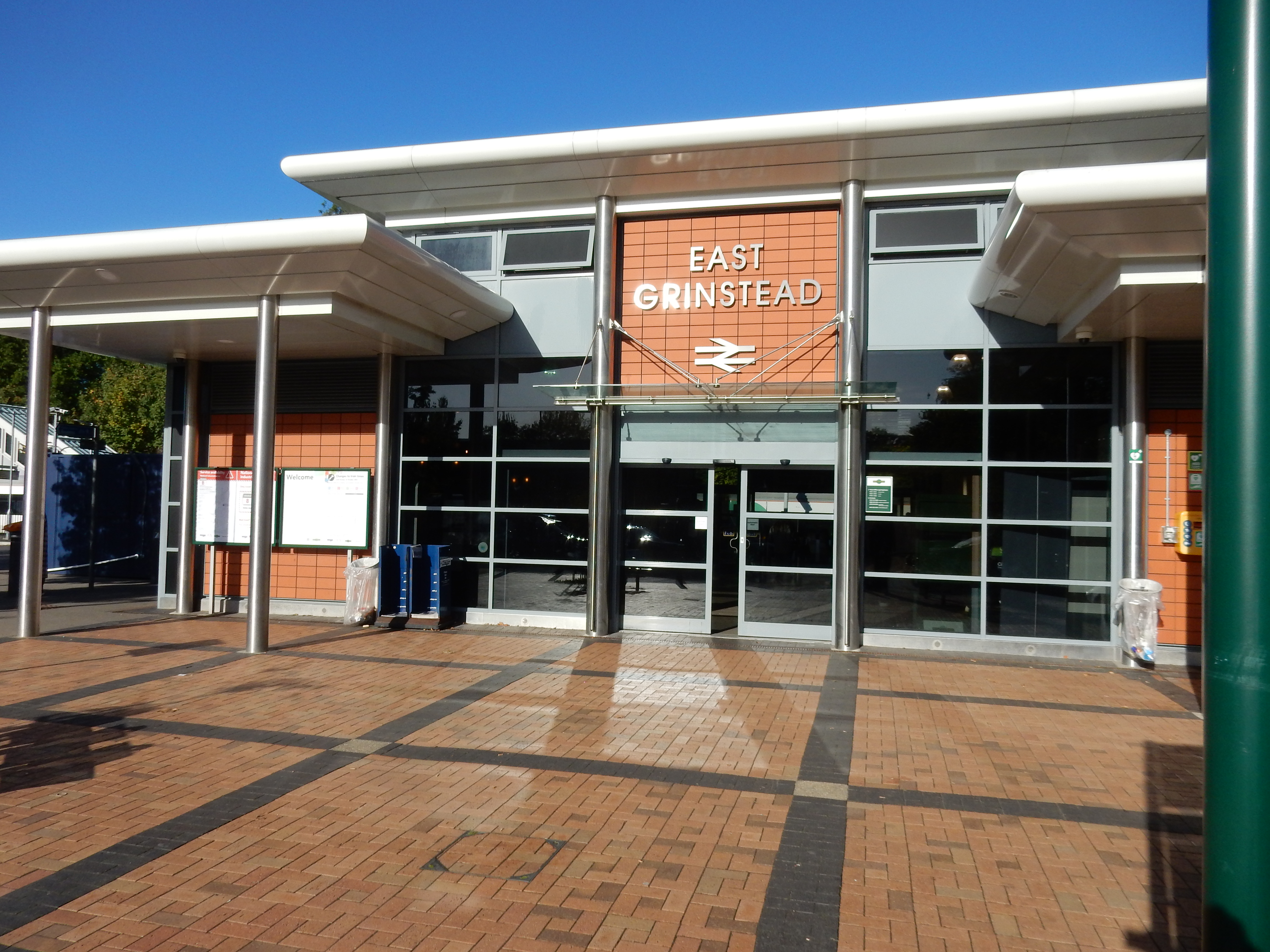
Until planning this walk I began to think that any given part of the Surrey countryside is much the same as a dozen others. My jaundiced view is now moderated slightly. East Grinstead is near the limit even for one of my summertime treks. Consequently, the route took in some waypoints not previously traversed by me; even some under a mile from home.
You begin, however, in time-honoured tradition with town centre tarmac. Three miles of A22, in fact. If your hat is not also blown off by the slipstream of an HGV thundering along three feet past your ear then count yourself lucky. You endure this misery because there's another ten miles to complete before an October evening descends on your perambulation, and there's no time for messing about on a meander around this part of Sussex.
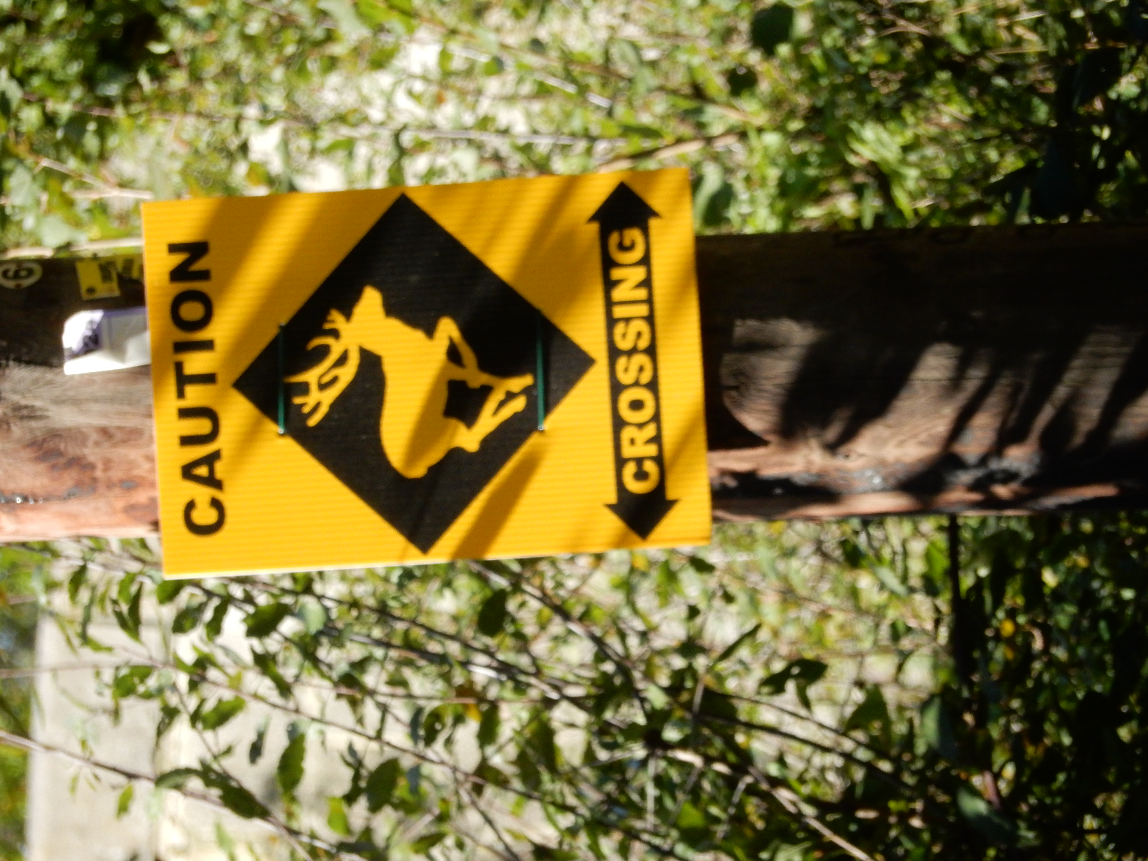
Two miles out of town you pass over the '(course of)' a London to Brighton Roman Road that swung east to service the iron works operating in the area during the period. With then but little reluctance you hit the dirt behind the bus stop shortly before the temple and pass its semi-ornamental grounds for the ¼ mile before the B2028. A right and quick left takes you north along an unclassified lane without footway. The vehicle driver is here asked to make allowance for quadrupedal residents of the wood. Ramblers? Mow 'em down and leave their bones on show.

On toward Foxhole Farm. This was more painful than it should have been. The footpath was moved in 1999 and new OS paper maps show the updated route. I therefore used an old map 😒 Oddly, the OS App shows the old route. Go figure.
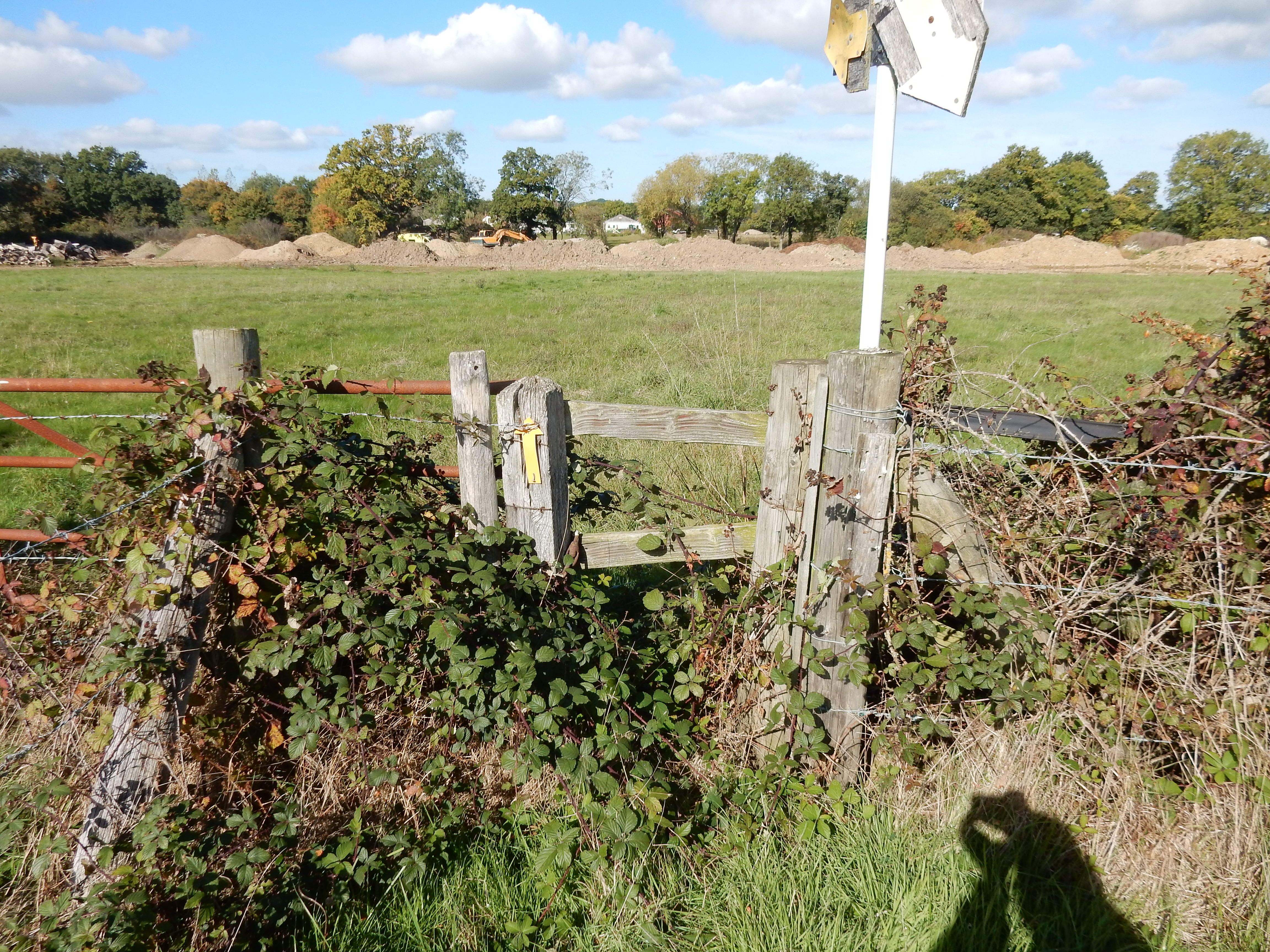
Embarasment entering Branford Farm by the wicket door to the right of the main gate. Despite what the OS App may say, you leave the yard by a straightforward traversal of it. The stile at the end of the next field was broken, rotten and choked by brambles. Do not fret about that. As you can see, much, much worse awaits you ahead.
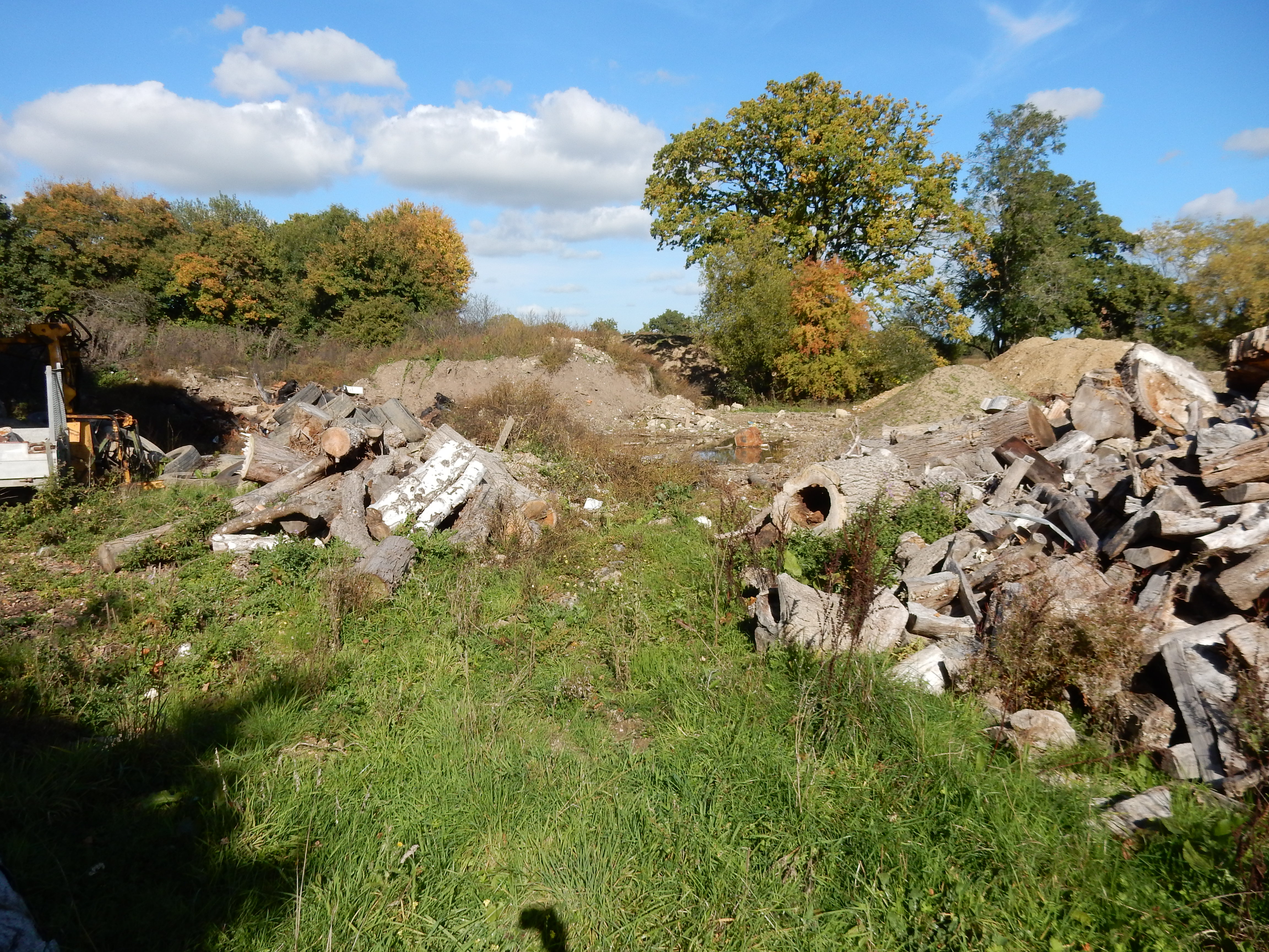
Three treadless tyres, a half-eaten pork pie,
some oildrums, an old felt hat,
a lorryload of tar blocks … and a broken bedstead there.
Michael Flanders
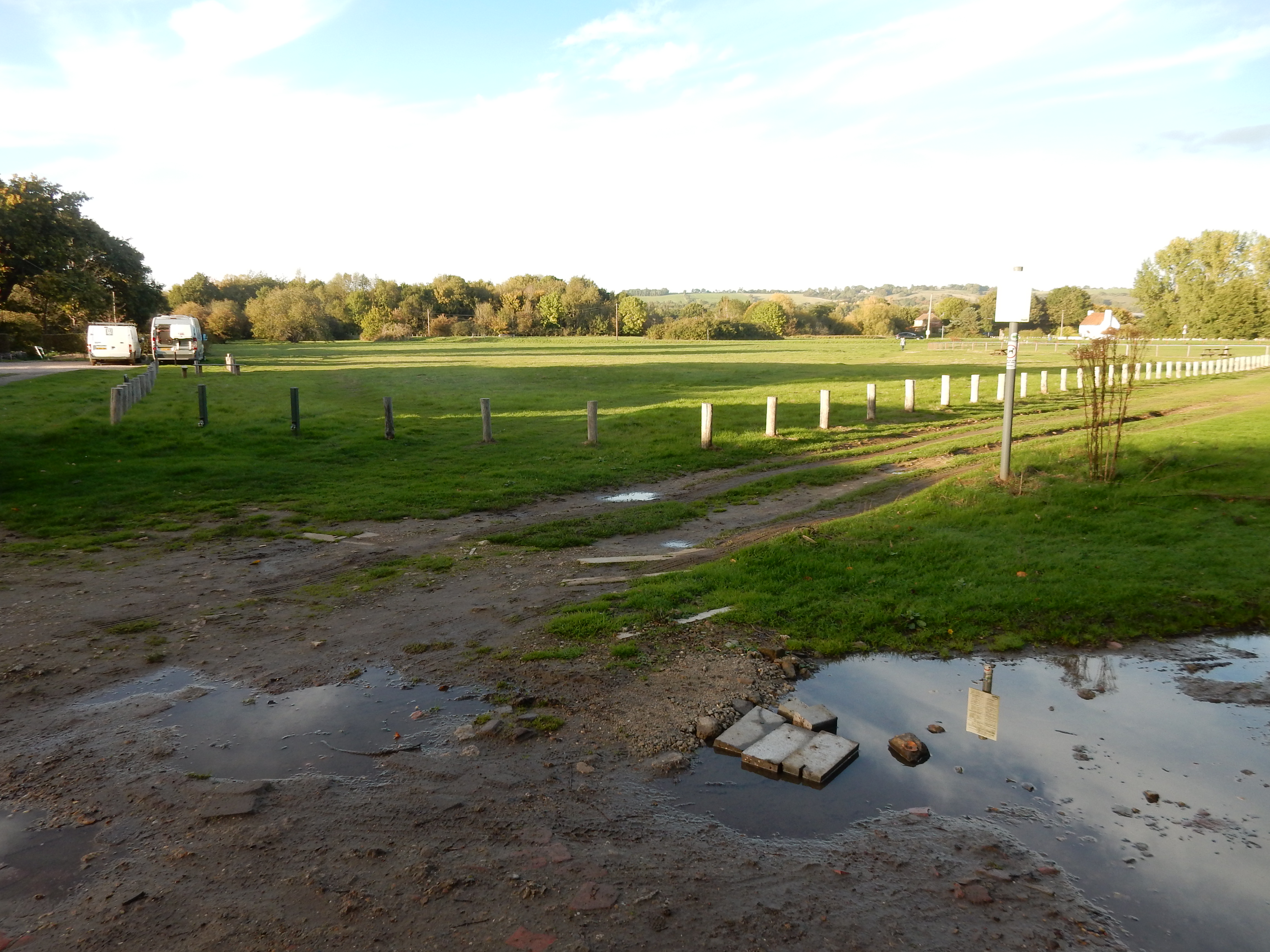
Crossing the Eden Brook presented a rambler's nightmare that makes anything Indiana Jones attempted seem like a walk in the park. A few hundred tons of earth, concrete, timber and other embellishments (as itemized on the right) have been dumped over the route. Recent rain collecting in huge puddles obliged me to complete the final eight miles of the walk with a bootful.
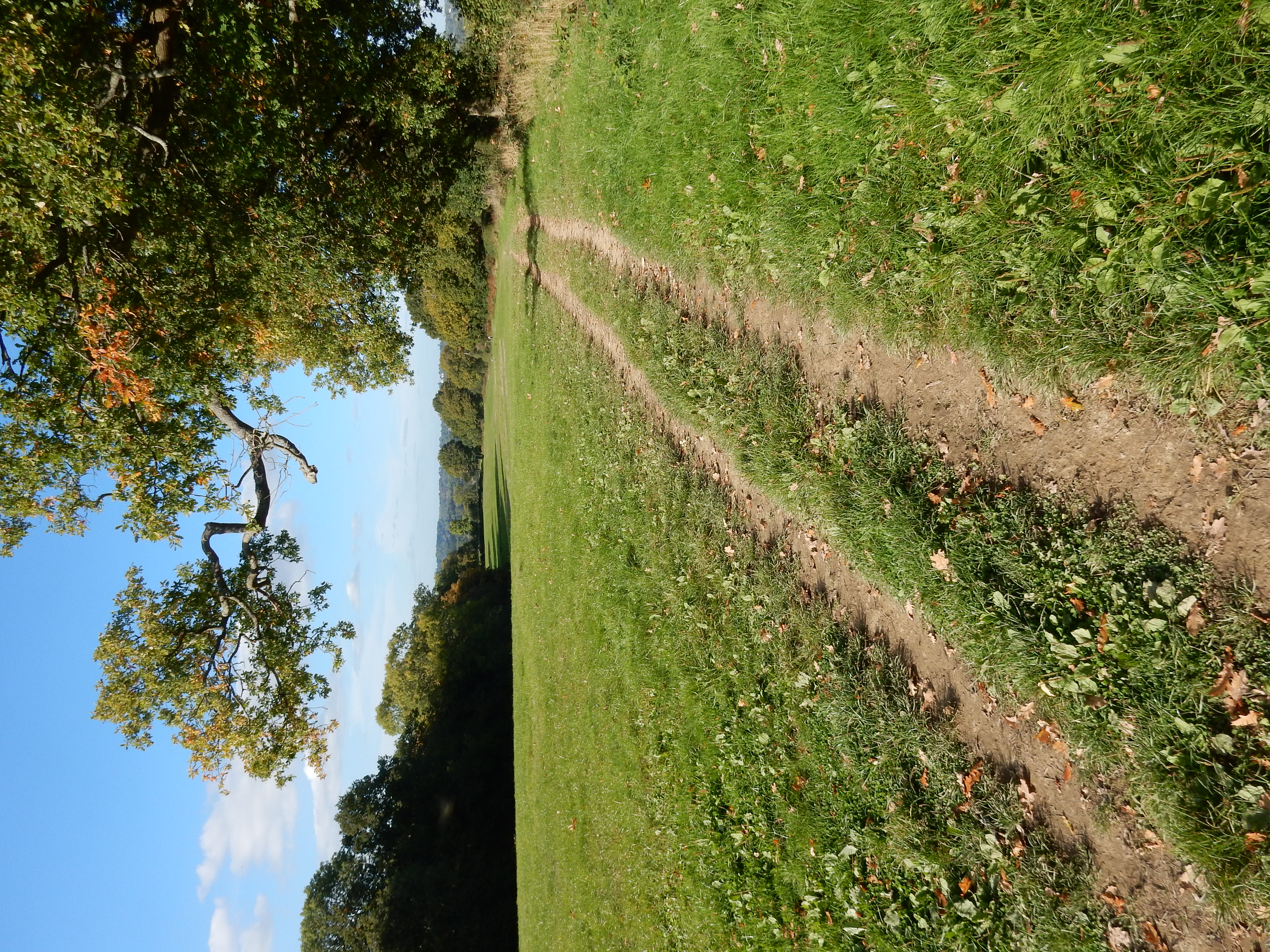
Do not raise your hopes that the route across to Whitewood Lane must be far easier. No one walks this, so no path that can be followed is visible. Your 'phone battery, having been hammered by GPS requirements all morning, has already expressed its wish to die. Think you can simply head for the SP marking the gap in the hedge at the far end of the field? Sorry, no SP. No gap (it became overgrown years ago). The short, regressive section of the Lane going east is almost welcome in comparison.

Having endured all that, you now deserve a rest on the way to Outwood. No such luck because Outwood is over fifty metres higher than Whitewood. Why do you think they put a windmill there? Also, the hunt for a discernable path continues into round 2. The final nail in your coffin? Breakfast was eight hours and seven miles ago and, having ascended Everest, I expected a reviving luncheon at the Bell. Unfortunately, that very boutique was suffering the after effects of Lockdown and wasn't doing food on Tuesday 😩
Right. If your day was not going downhill before this, it will do now - with the help of the NT. You have already perused its Hornecourt property, but the vast Harewoods estate continues on the other side of Outwood. The end is literally in sight. Hare we go.
The navigation nightmare that was the mid-section of this walk may now be forgotten. For this stretch it is, more or less, two miles straight up. No bashful hedge exit. Permit your GPS requiescat in pace. Also in your favour is that Coopers Hill Road need be endured for no distance at all. Likewise the M23. Before you know it Philpotes Wood will be sorted and Nutfield fills your nostrils. If your weary legs allow, get them to ascend a further 5 metres up to the the so-called level crossing.
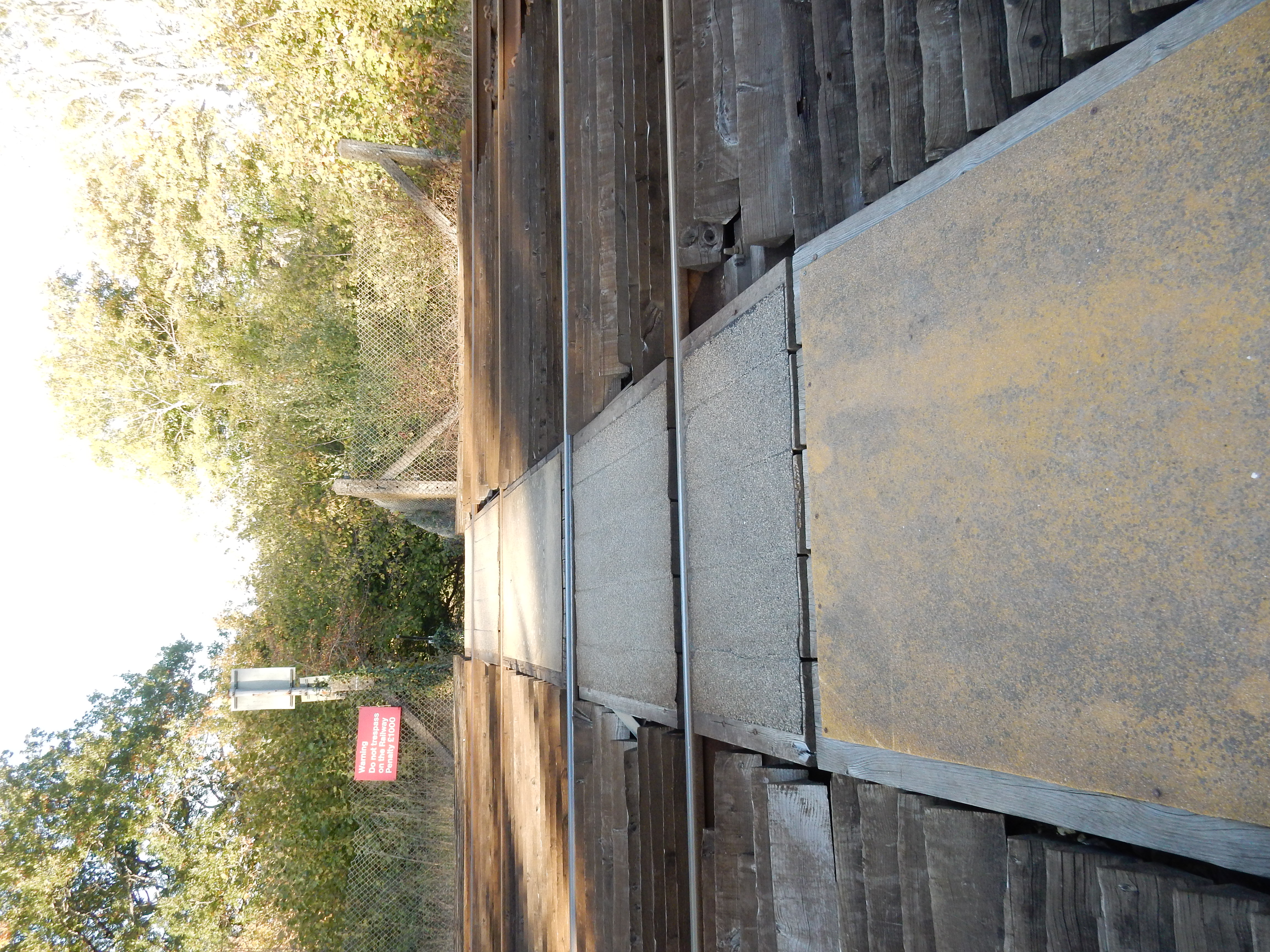
There's always a "but". You need to do another 50 metre climb to reach Nutfield Ridge. Don't complain. It's high but it's dry. Unlike the marsh down the other side around Mercers Park. Say; the shadows seem to have lengthened a bit. Is that the time? You won't be doing a walk this long next week.