
Parametric data
-
Route name:
Edenbridge station. -
Distance:
11.7 miles. -
Topology:
Point to point (westward). -
Seasonal suitability:
Dry weather. -
Ascent:
100 metres+ -
Landmark of note:
The River Eden, on the approach to Gibbs Brook Lane. -
Refreshments:
Royal Oak Oxted. -
Feasible excursion:
Bletchingly town. -
Walking in the road:
> 1 mile (but wide verges). -
Footpath quality:
Generally good, but some little used and indistinct. -
Duration
4.8 hours
Route map and notes.
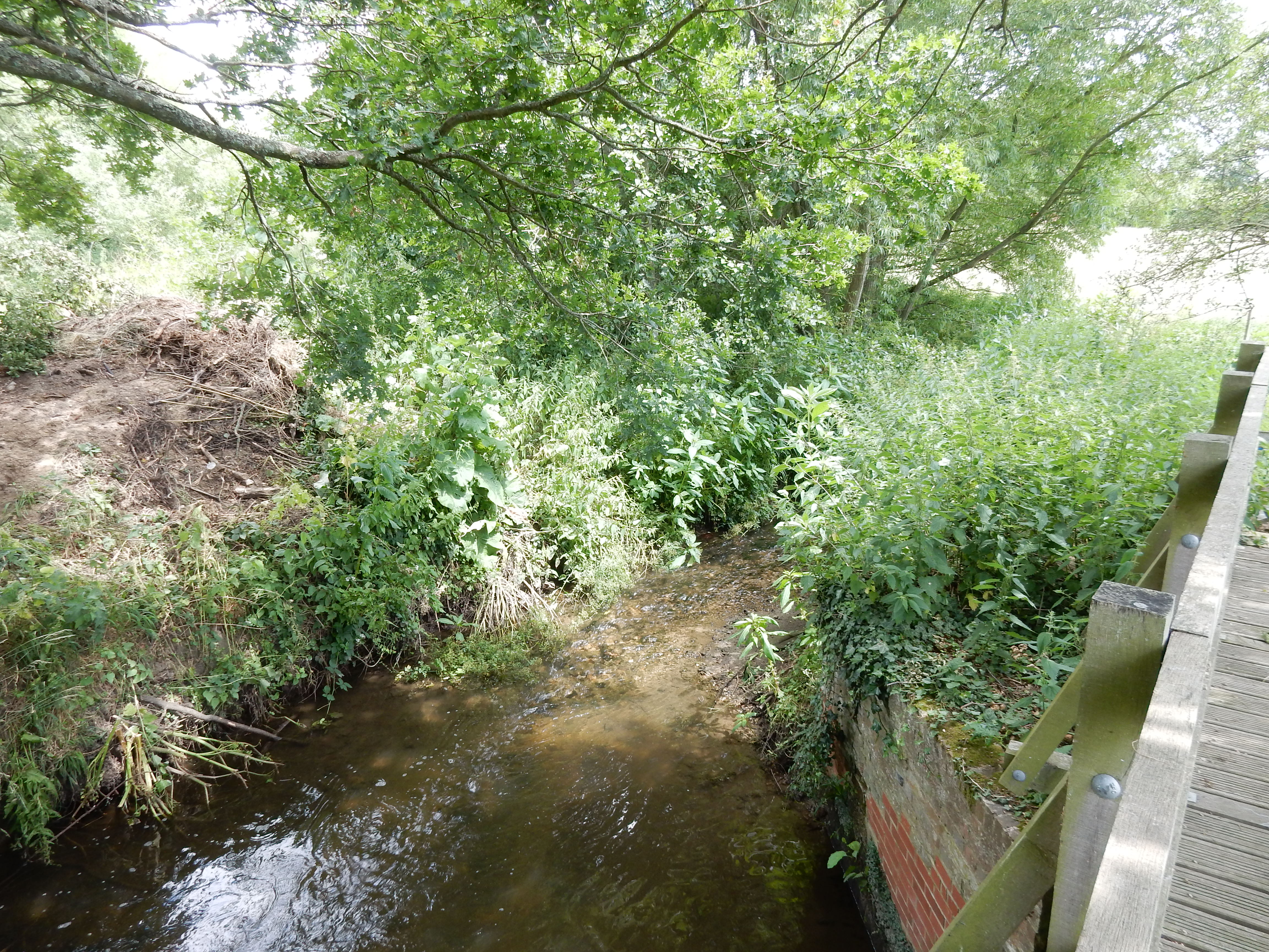
The first two miles follow the rail line fairly closely, crossing it twice. This reaches the section of embankment that required ten weeks of repairs during the winter of 2019/20 after the River Eden washed away a long chunk of it. Check out my photo of the river to understand how this raging torrent caused such damage.
The walk then bears further toward the north through relatively remote agricultural terrain. You would be hard pressed to find a quieter part of South East England. It's just as well that there isn't very much traffic along Miles Lane because you walk in it until you reach the A22; footpaved north for ¼ mile before cutting across country once more. Keep to the side of the third field field here. If you go diagonally over it (as the OS suggests) then you will come a cropper (ha!).
At Brakey Hill you pick up the Greensand Way which provides good going up to Bletchingley and the A25.