
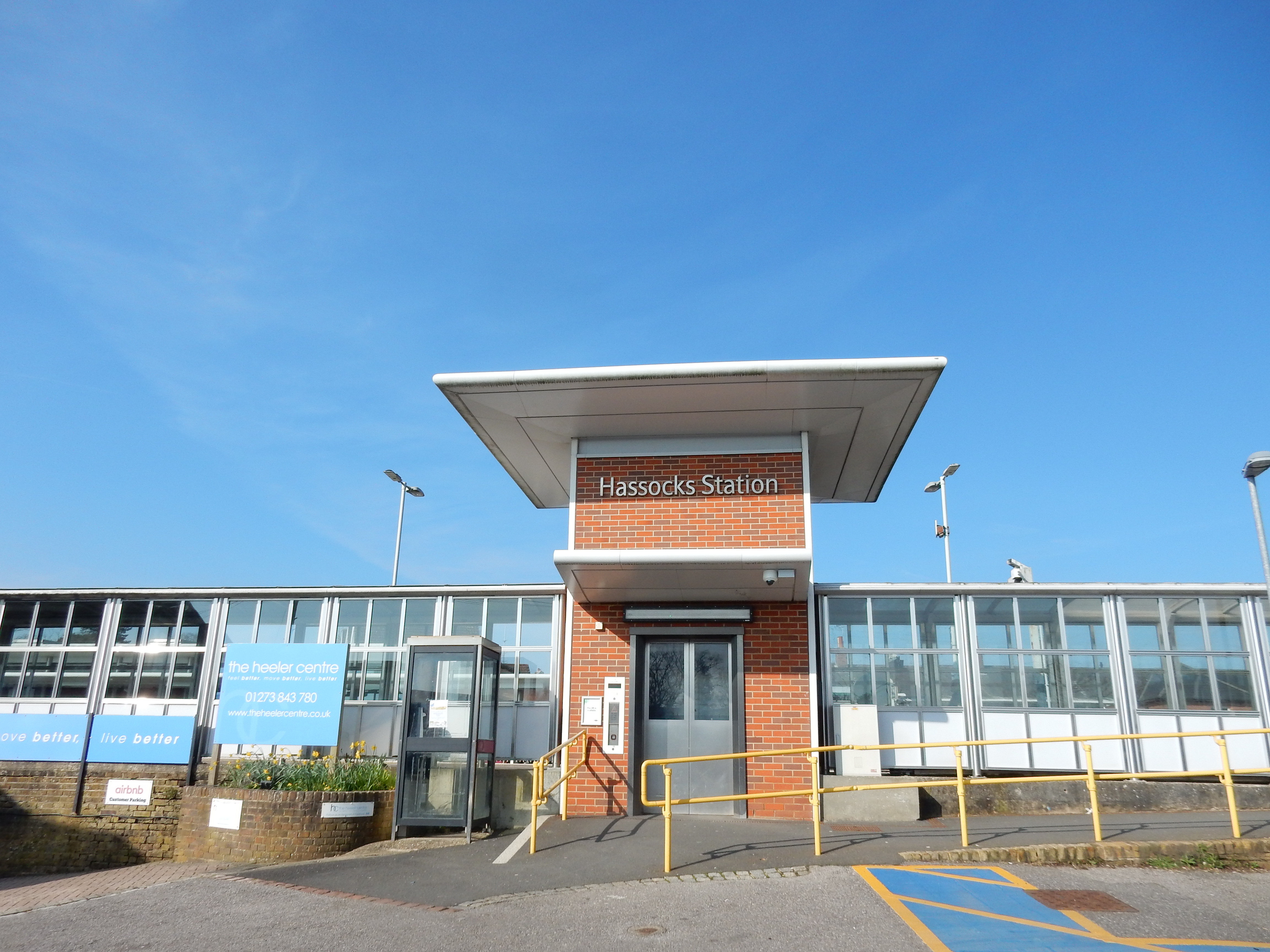
Parametric data
- Route name:
- Hassocks
- Start point:
- Hassocks.
- End point:
- Three Bridges.
- This route on OS maps:
- https://explore.osmaps.com/route/20517686/ ...
- Distance:
- 17 miles walked, 13.7 miles flown.
- :
- 5.6 hours.[1]
- Ascent:
- 262 metres.
- Stiles:
- 1. (see refreshments).
- Landmark of note:
- The footbridge near Pease Pottage.
- Feasible excursion:
- Hawth Avenue would shave a little from the route, but that wasn't an objective.
- Waypoints:
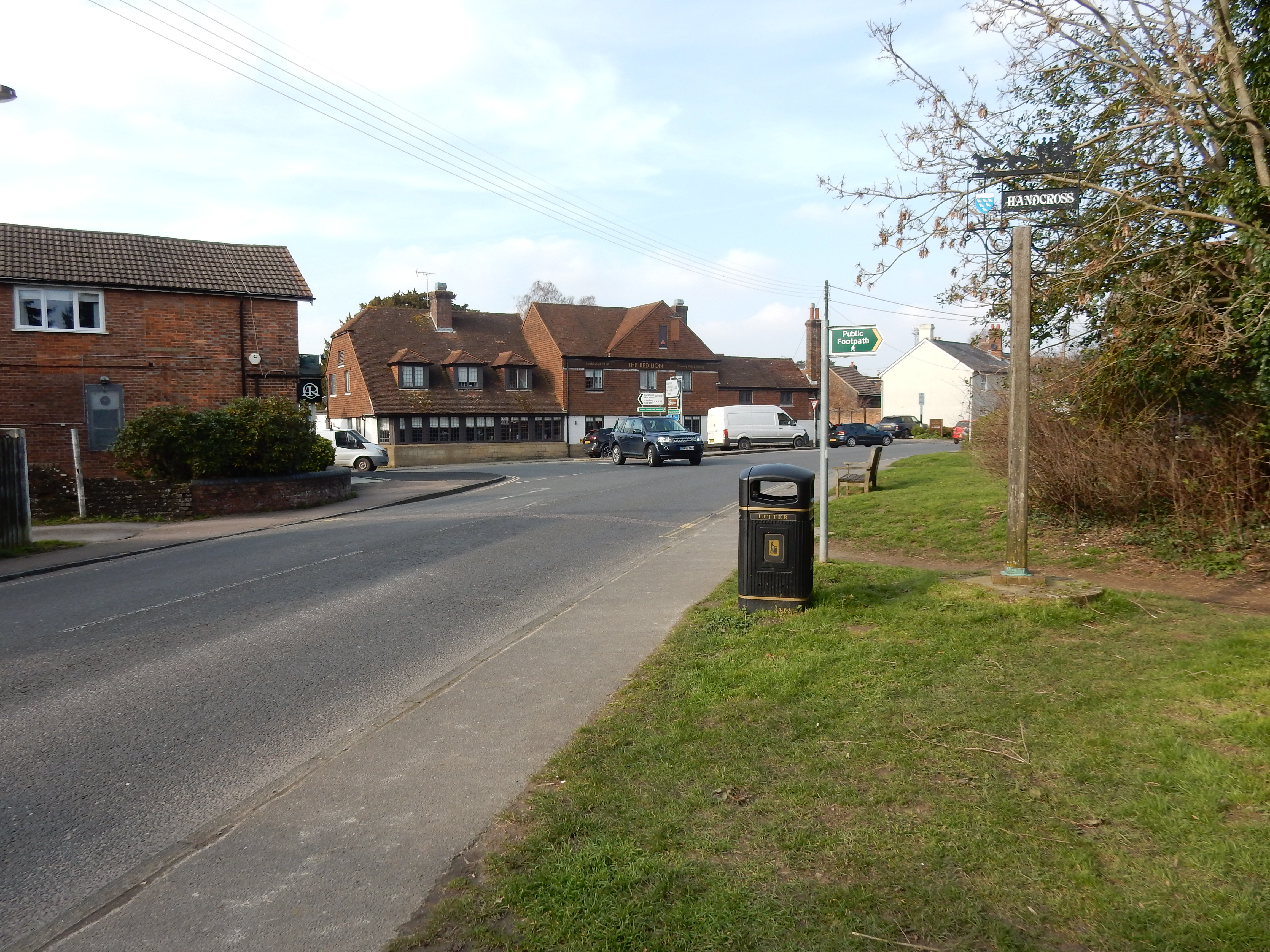
- Hurstpierpoint, Albourne, Sayers Common, Hickstead, Rice Bridge, Bolney, Warninglid, Handcross, Pease Pottage, Tilgate, Crawley.
- Refreshments:
- Pack lunch on a stile approaching Bolney.
Weather:-
 7°C,[2] ☀️.
I had to wait some time for a forecast without rain. Would
have given five stars but for an increasingly bitter wind.
7°C,[2] ☀️.
I had to wait some time for a forecast without rain. Would
have given five stars but for an increasingly bitter wind.
-
Avoiding roads: -
 To date, this route is the longest to get five stars.
You have several A roads to cross.
To date, this route is the longest to get five stars.
You have several A roads to cross.
-
Footpath construction: -
The entire route was asphalt apart from a couple of short
stretches of BLA passing Warninglid.
-
Footpath condition: -
Barely anything beyond the odd fallen tree. Some places just
beyond the Esso filling station had brambles. A short
stretch immediately after the A264 was so buried in leaf
mould that you could not see asphalt.
-
Vistas: -
 From the bridge over the A23 you can look south towards
Devil's Dyke, and Woolstonbury Hill to the left of that.
North of Albourne you can see nine miles towards the
ascending high ground before Handcross. Save a bit of puff
to tackle it in three hours time.
From the bridge over the A23 you can look south towards
Devil's Dyke, and Woolstonbury Hill to the left of that.
North of Albourne you can see nine miles towards the
ascending high ground before Handcross. Save a bit of puff
to tackle it in three hours time.
Blackberries:-
 Well, the route is mainly A-road.[3]
Route map.
Walk notes.
This is not one of my 'proper walks' (that are normally good to
follow). It was undertaken to research a longer A23 walk in the
summer. However, it is perfectly OK ... if Hassocks to Three
Bridges does happen to be your thing 🙃
This winter's
incessant rain has denied me walking opportunity for too long,
and I'm out of condition. Today's forecast looks a lot better.
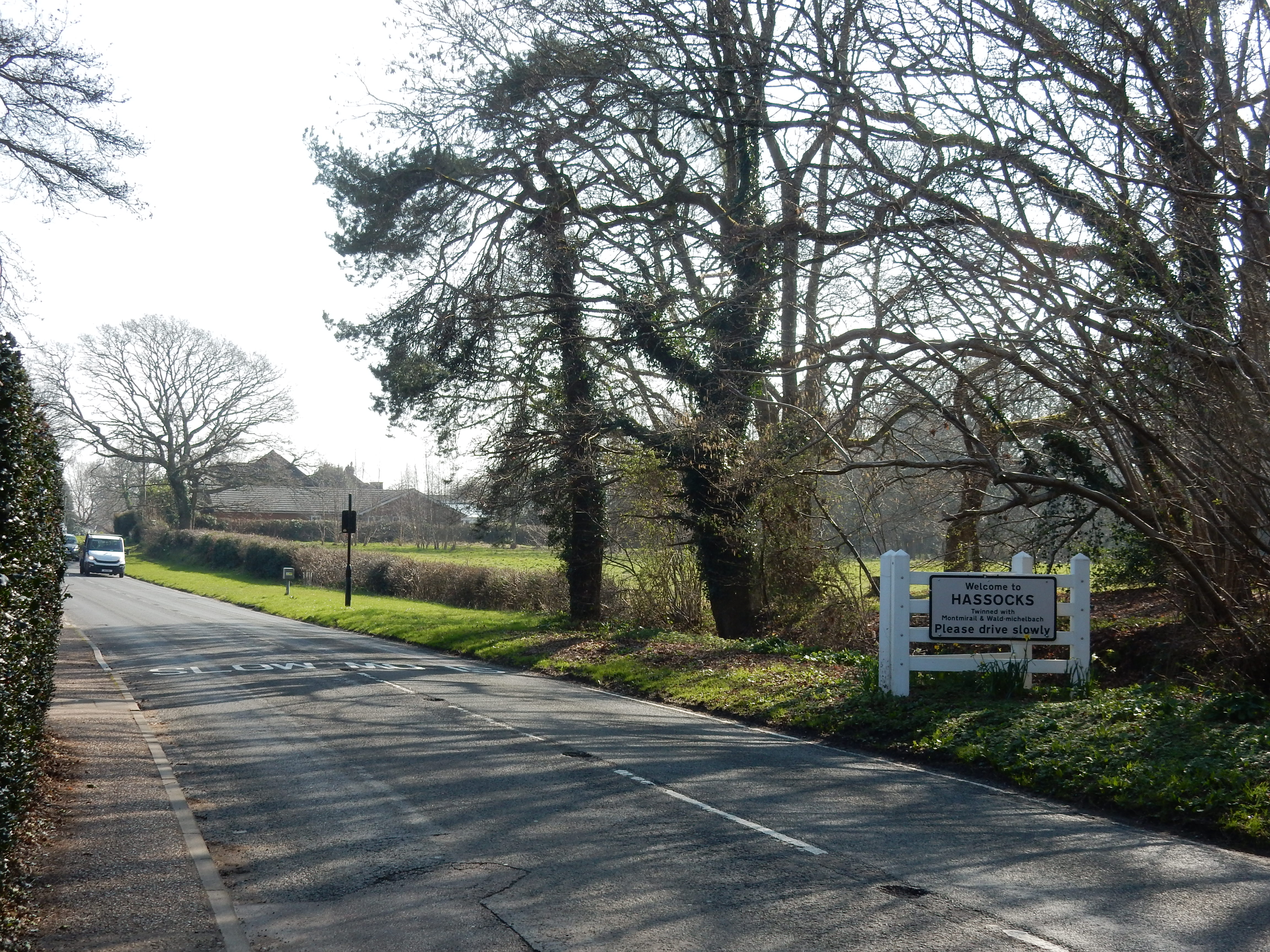
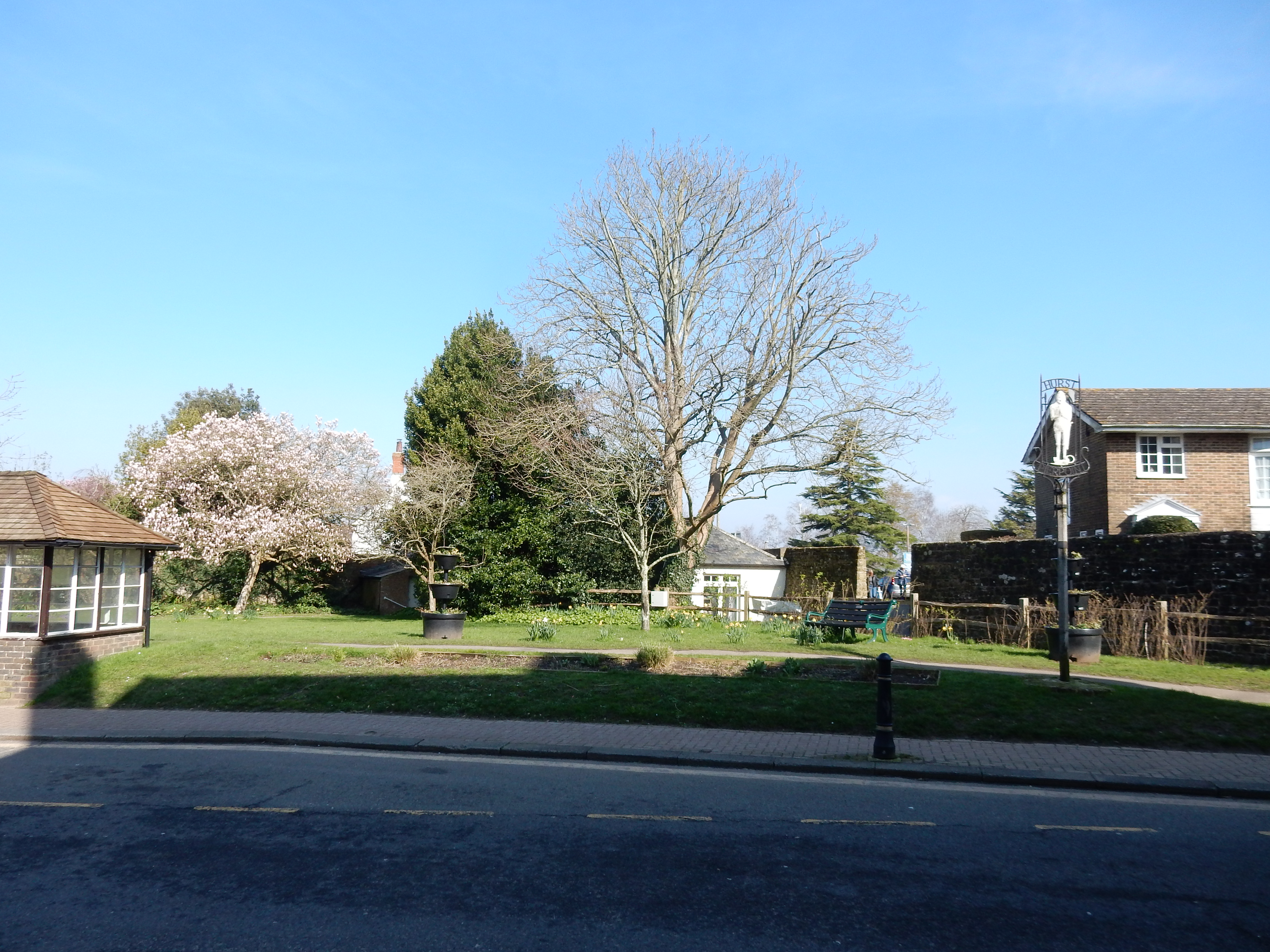
Both Hassocks and Hurstpierpoint are new ground for me. I cannot recommend the B2116 for HGVs; the High Street through Hurstpierpoint is one of the narrowest I have seen. Hilarious as a 'sleepy Sussex village'.
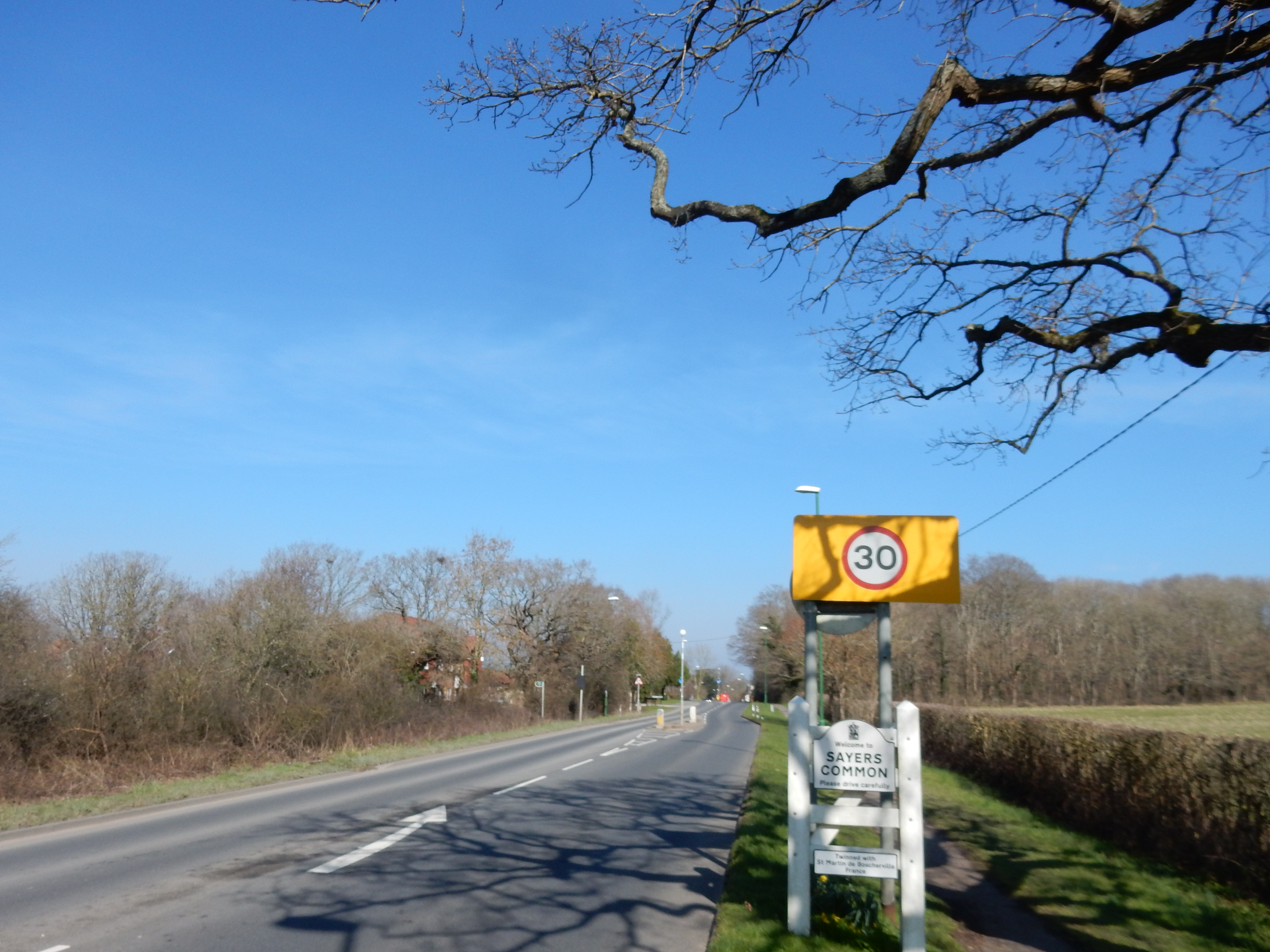
North of Sayers Common the A23 traverses the valley of the River Adur, sinking to a mere 13 metres ASL shortly before Hickstead.

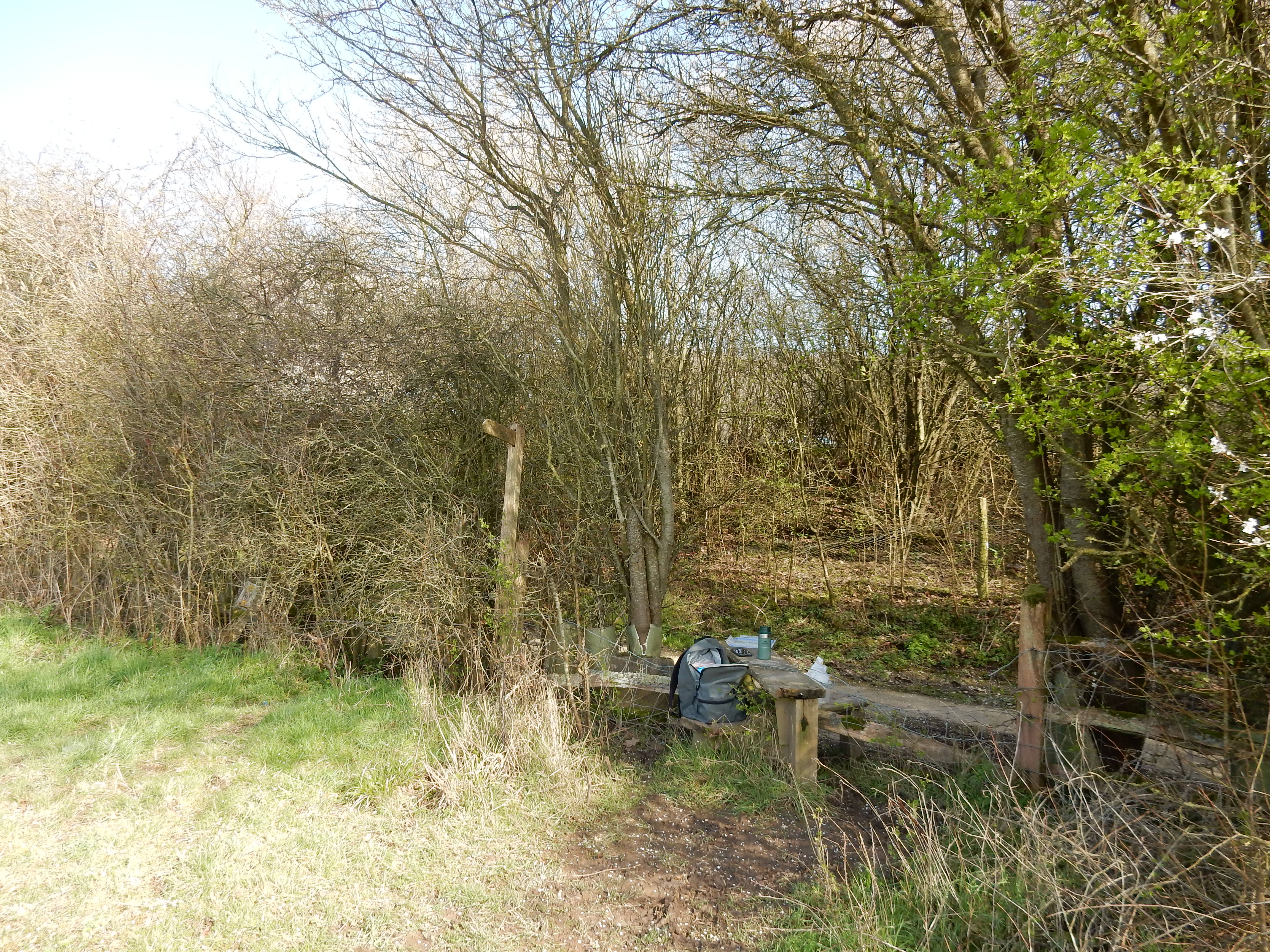
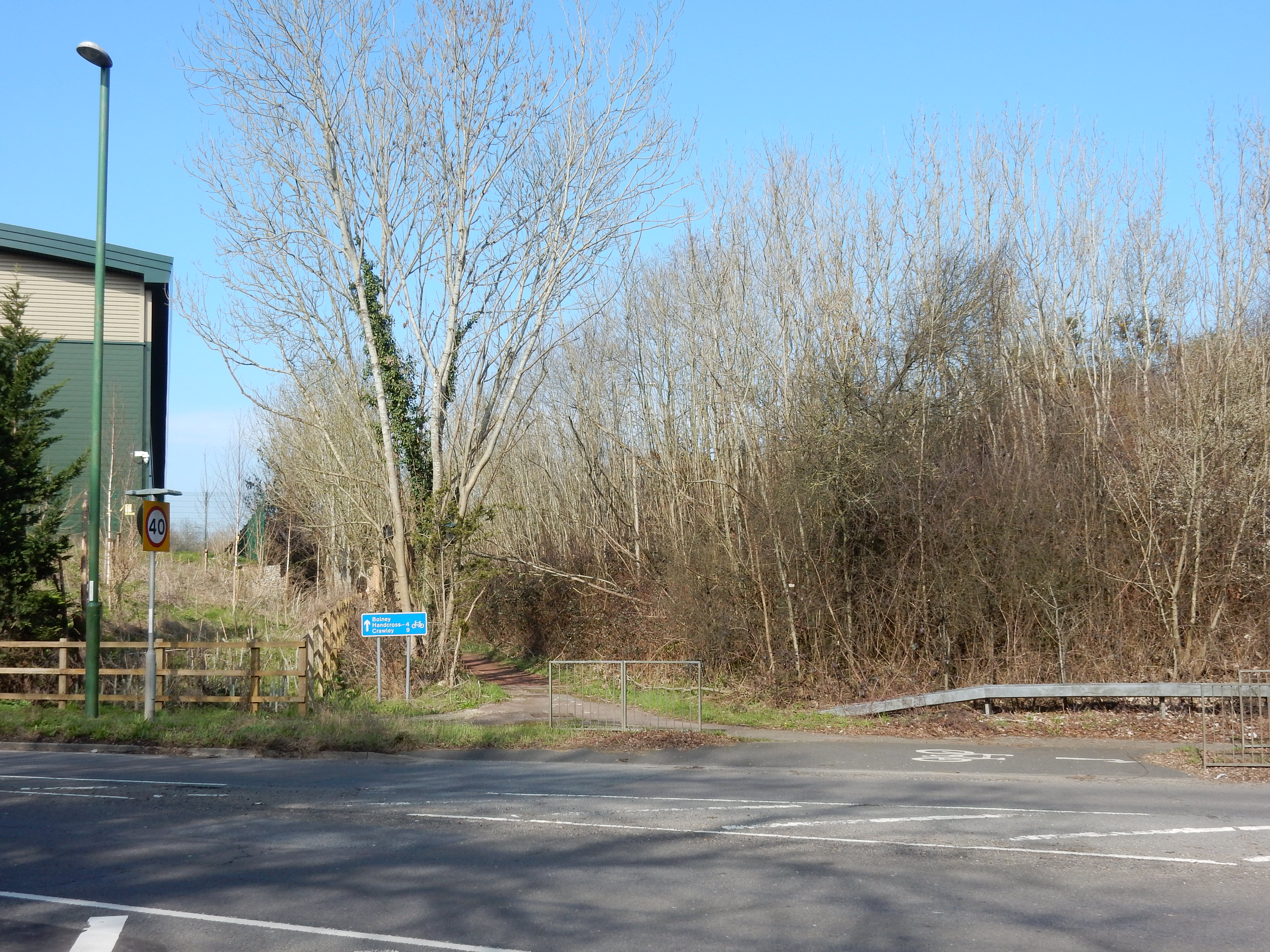
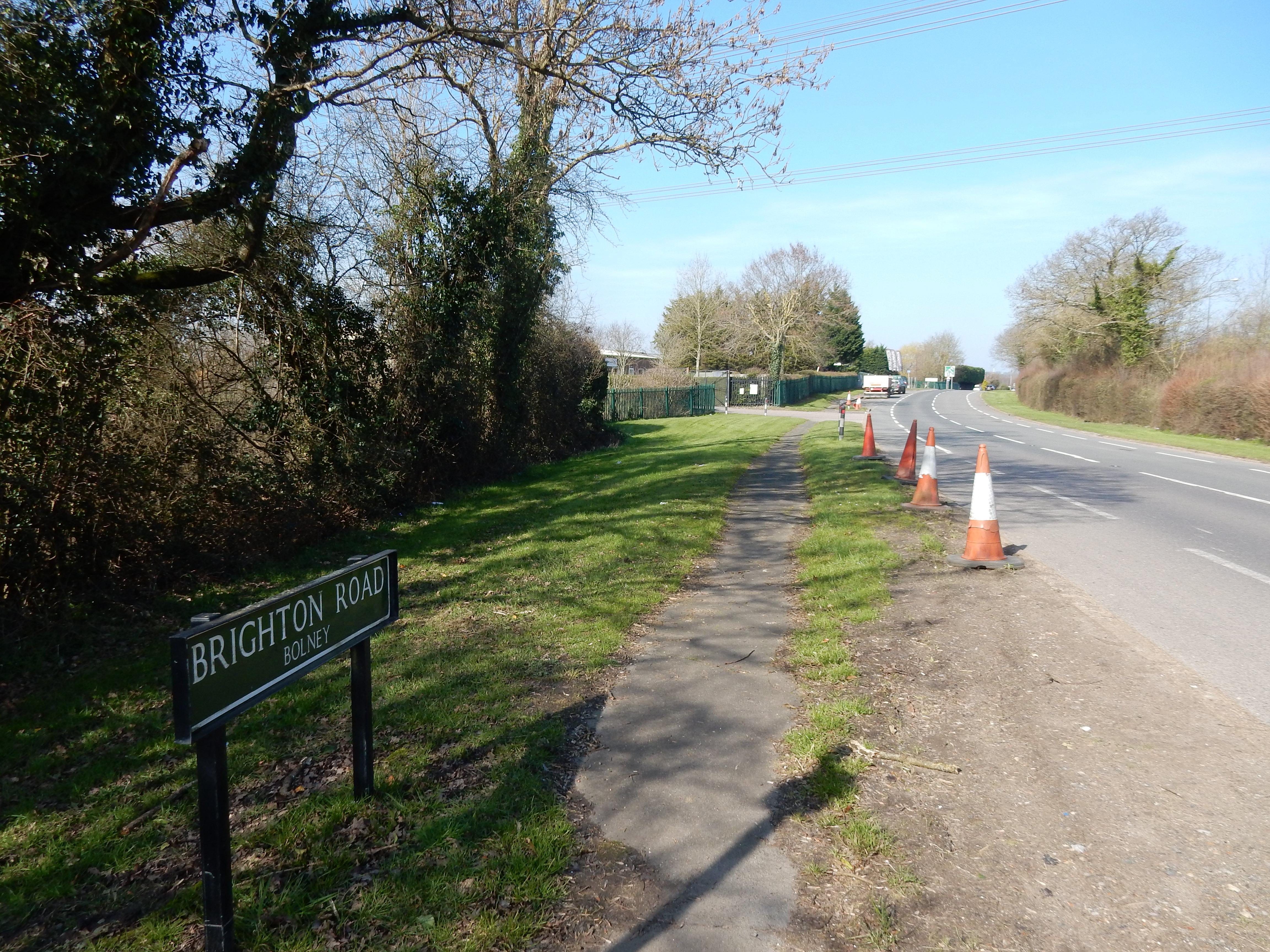
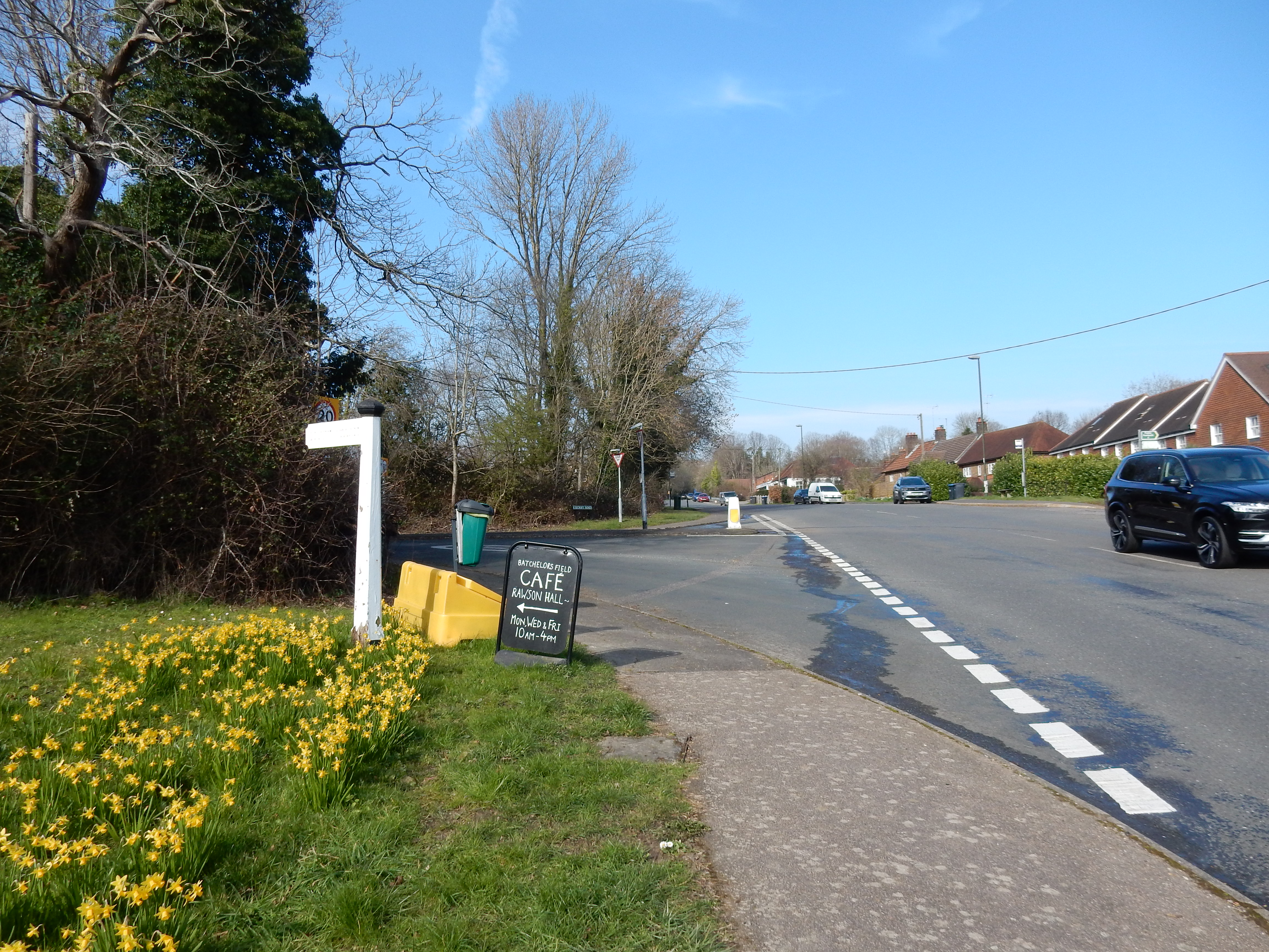
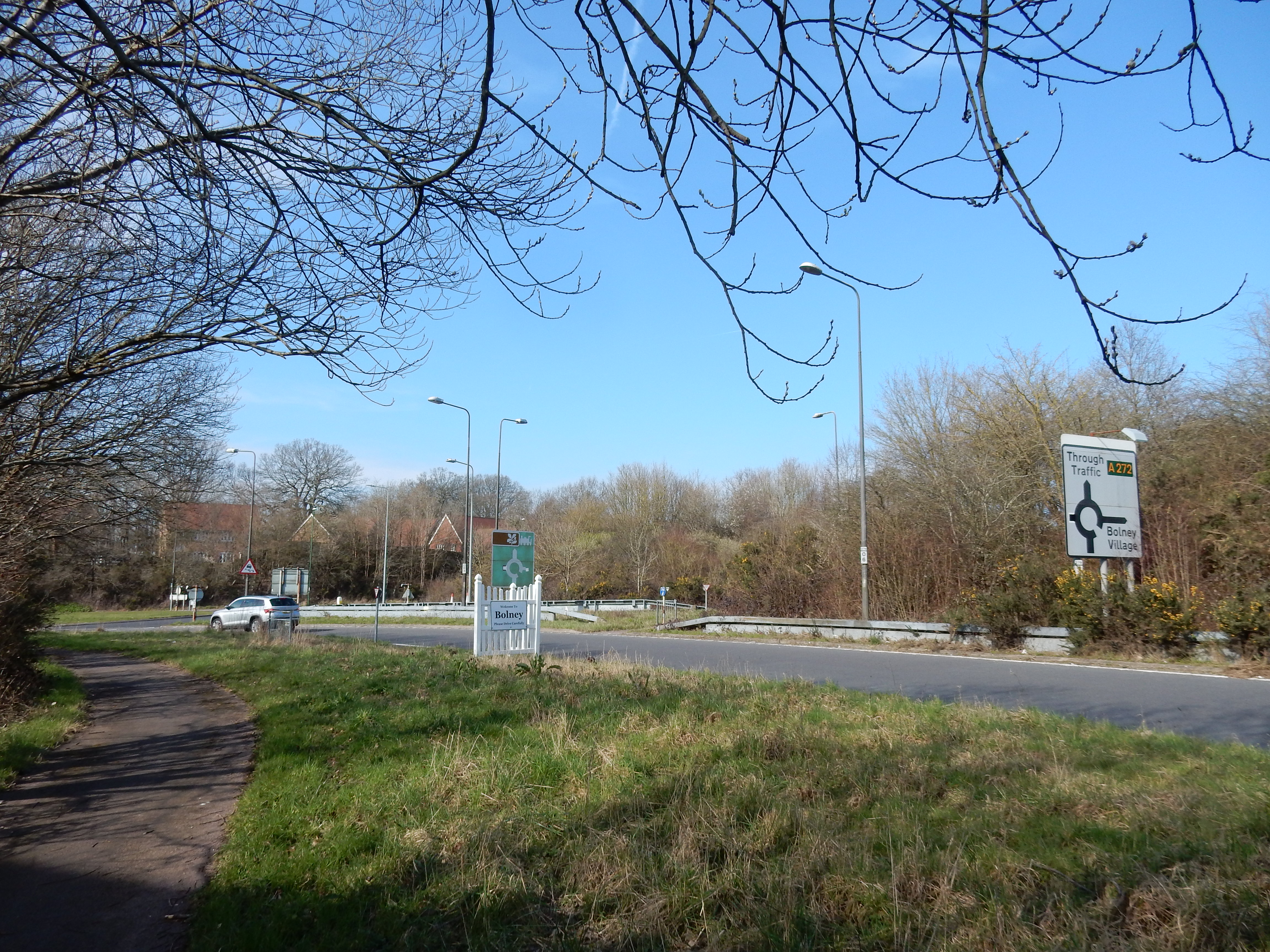
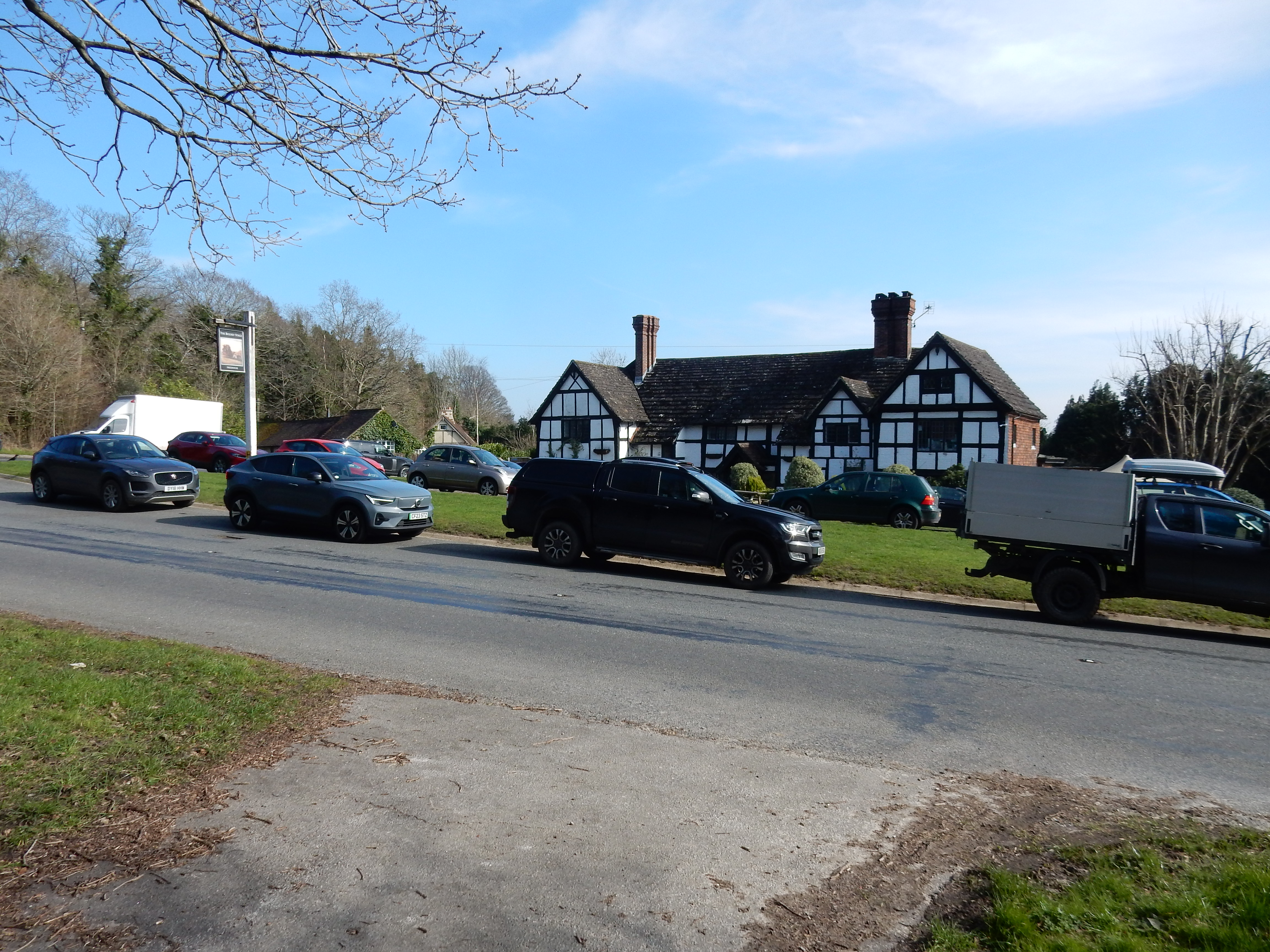
Past Rice Bridge, the footway veers west just enough through low trees to reduce the traffic roar, where a convenient stile serves as a luncheon venue. One of only two cyclists to pass me during my traversal of the entire route does so here. Given that it is bike-friendly for the most part, I am slightly surprised more do not. Crossing the Cowfold Road, the newly refurbished big green shed is conspicuous on your left. Did Bolney welcome this architectural novelty? Bolney is away from the A23, and so relatively peaceful through its centre. However, my task today requires no diversion, so the London Road it has to be. The tempting café is also no-go. Hey, I'm making three MPH on this walk because the going is this good. The Pub has a staggering number of vehicles outside. Are they all just doing lunch? A final thought on Bolney: it finds itself (through no fault of its own) in the Redhill Post Code Area. Do I feel that home is near? No.
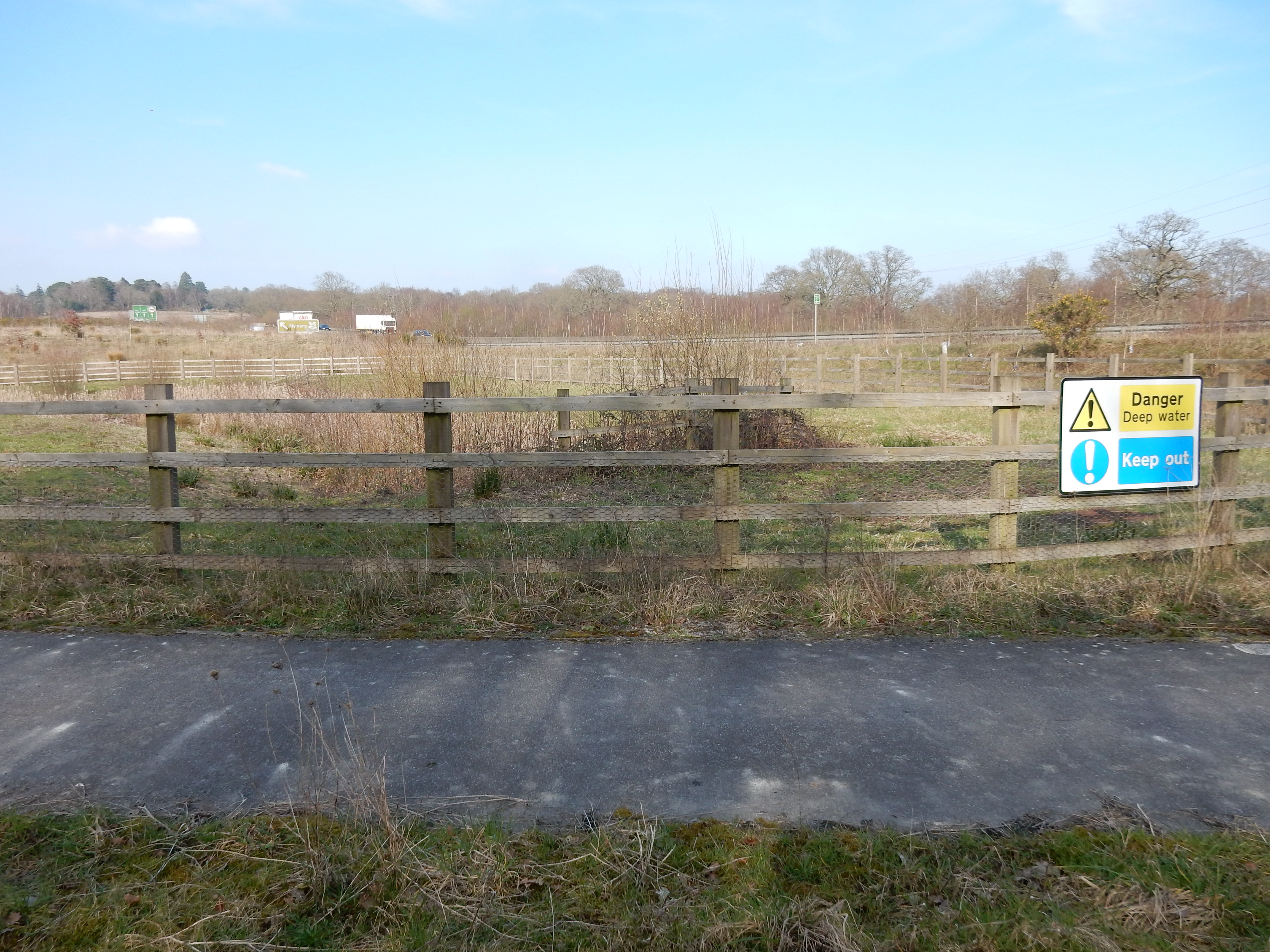
After the B2115 you have one mile of practically dead straight Nursery Lane, crossing another River Valley: The Ouse. Its source is close to Slaugham Place. Shortly before the Ouse, the route again veers left, away from the road. Shown there on Google Earth and on the OS is an unnatural looking pond that appears mostly empty. Before this walk I wondered why it was there. When actually passing this feature, it is clearly one of the 'balancing ponds' used to hold grot that washes down the hill from vehicles using the upgraded A23 here that, unless taken care of, would end up in The Ouse. There is a bit of a story to it.[4]
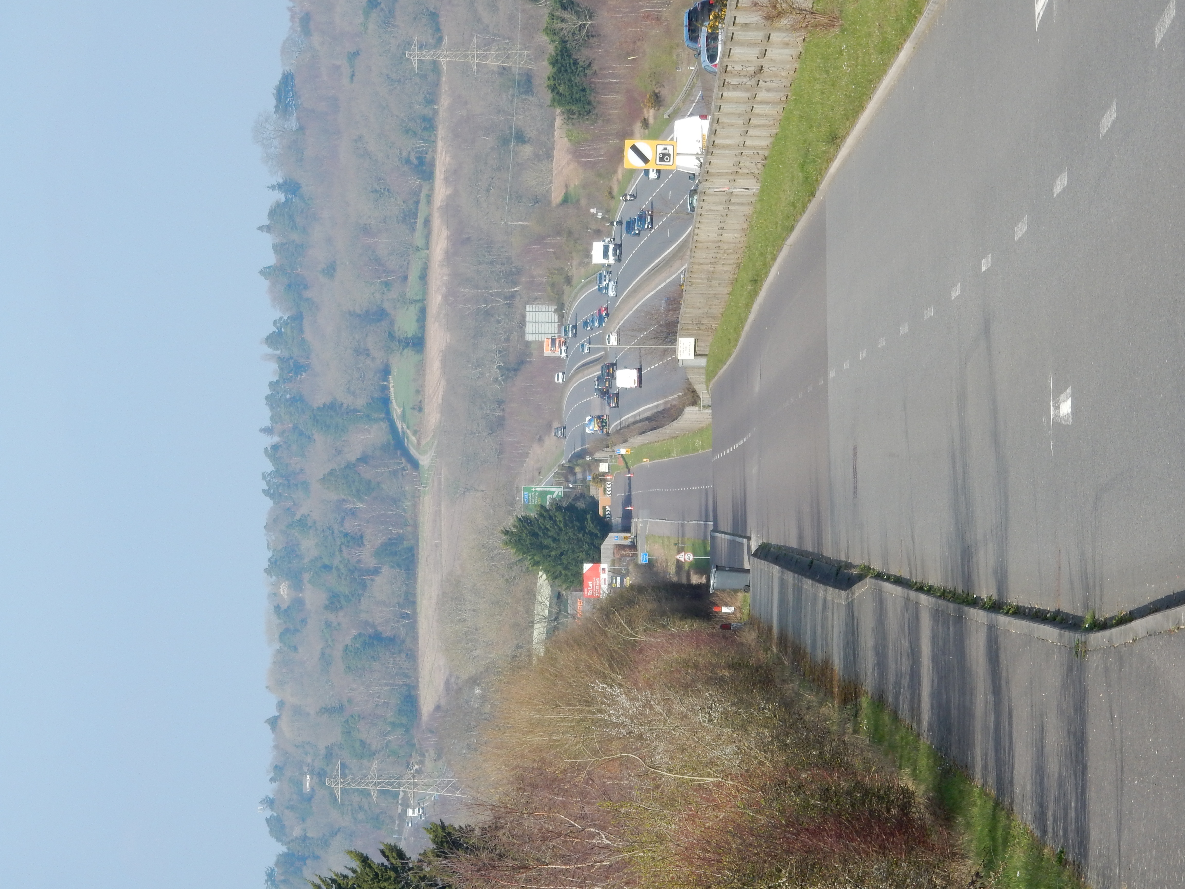
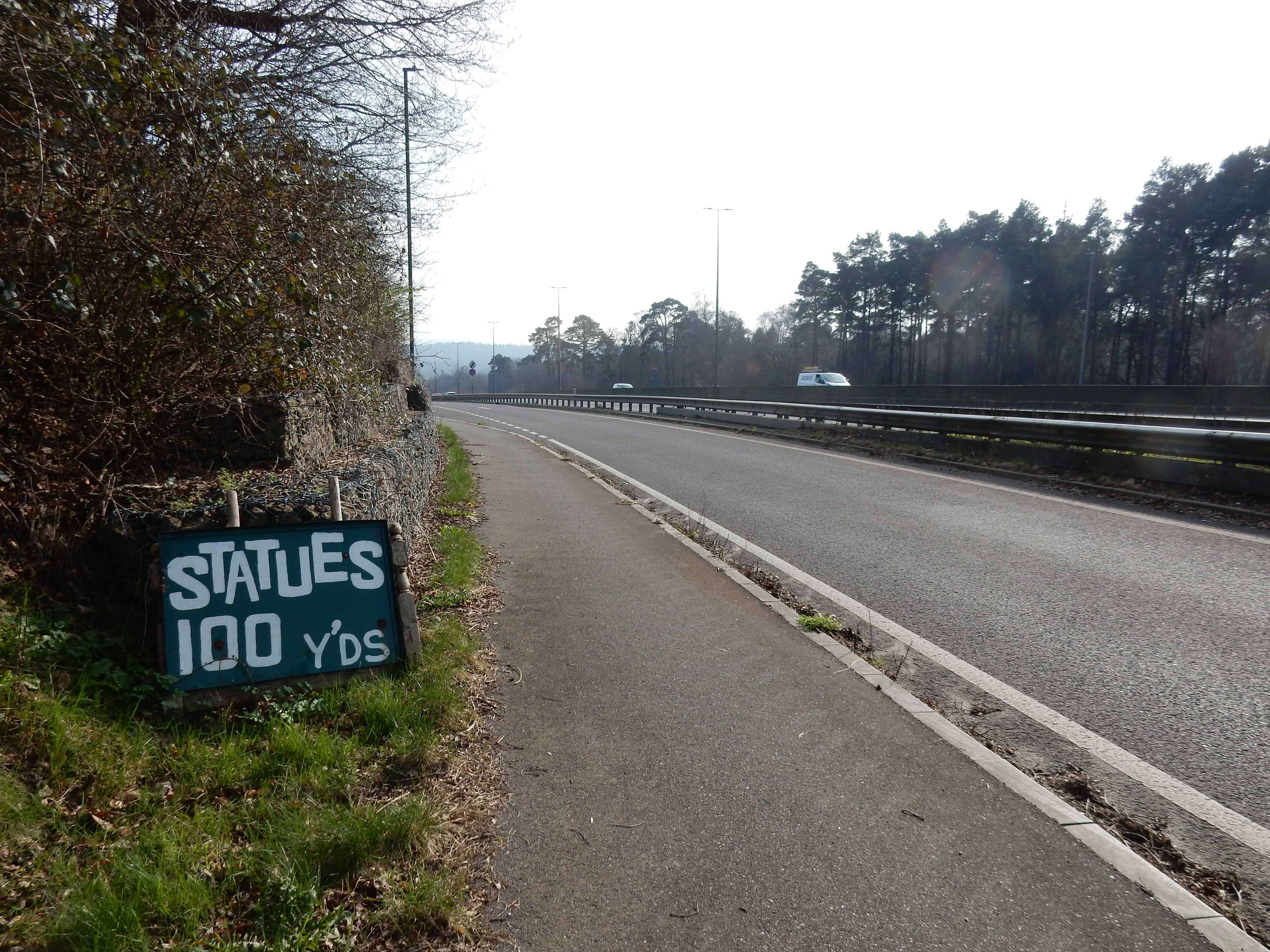
You face an 88 metre ascent from the Staplefield Road up to the Handcross summit. It's telling on the legs, but the nerves are also a bit frayed by unfenced proximity to the A23. Copious litter and crash debris fail to delight. Progress seems to dwindle almost to the statuesque. Yes, those are the South Downs on the horizon, now eleven miles distant. I must be moving, after all.
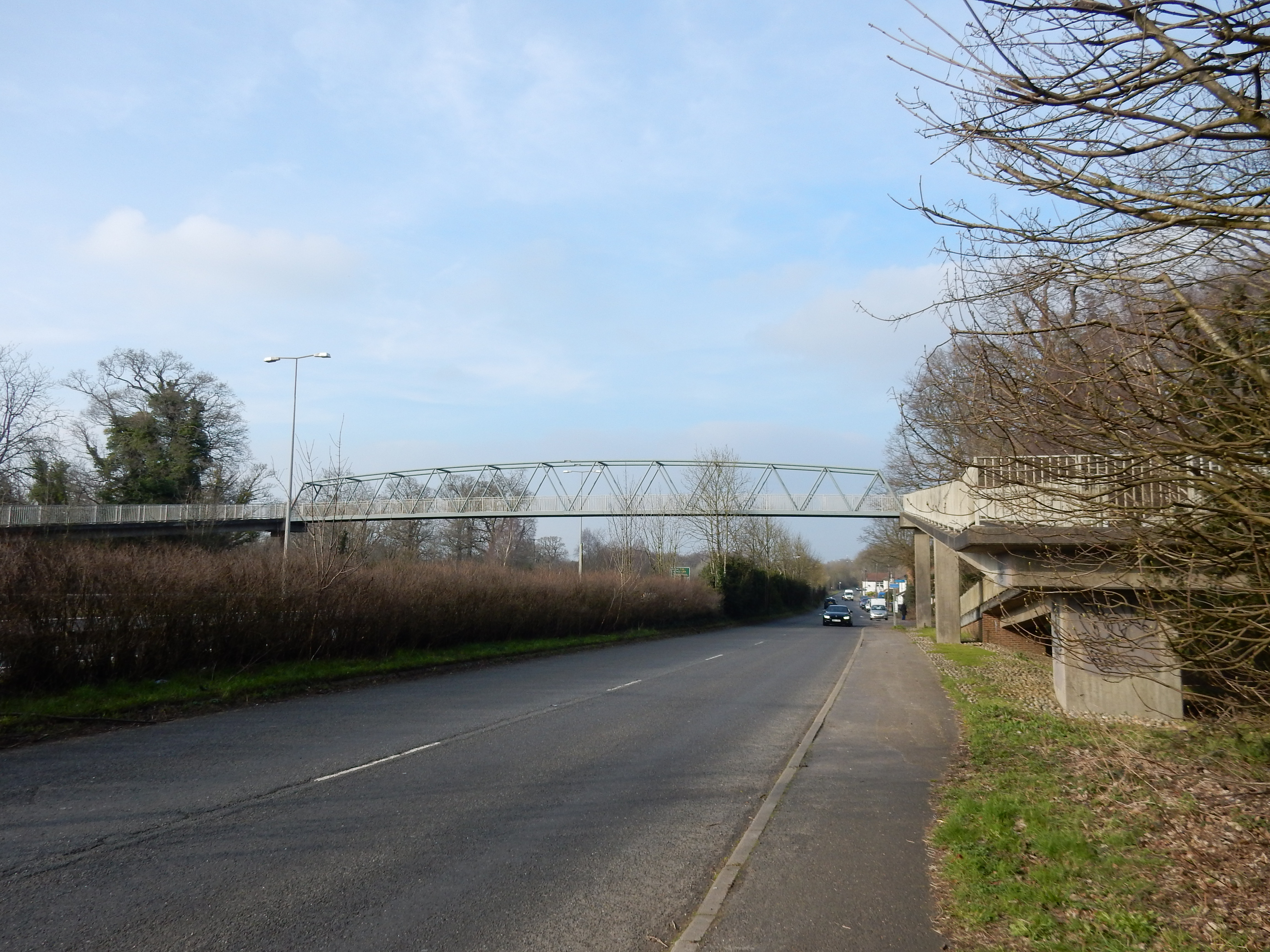
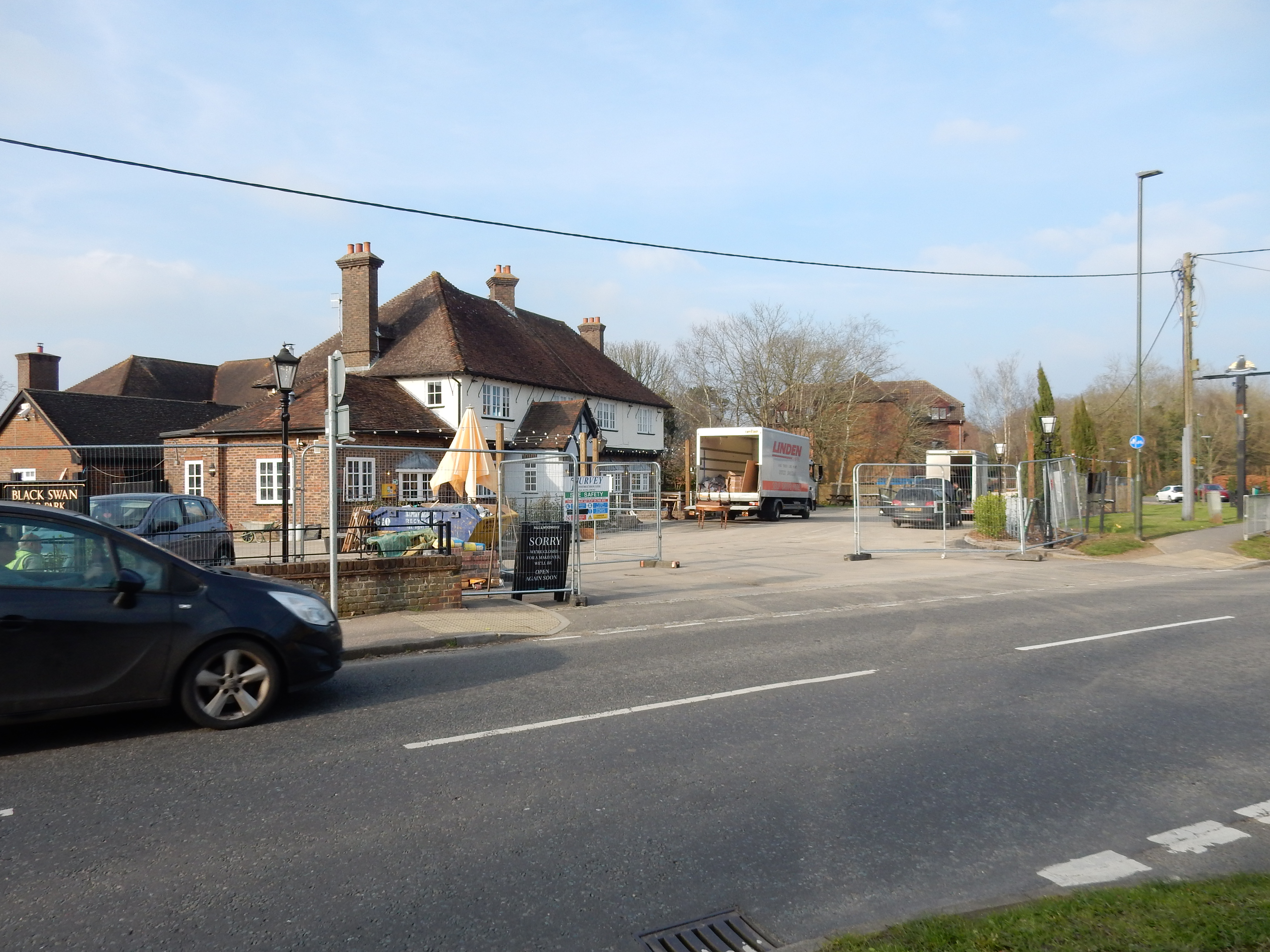
I originally supposed that the footbridge at Woodhurst would shorten the route a tad. The OS disagreed, but was in fact correct; the triple ramps on each side add fifty metres or so. On a previous walk, I stopped at the Black Swan. It is closed for refurbishment until later in March '24.
Not too far to go, now. I continue for 1⅓ miles of Ye Olde Brighton Road into Crawley. Olde it may be but, these days, it is dual carriageway and rush hour traffic is flowing along fast. And that's an issue because you are obliged to cross all four lanes over to the eastern side without benefit of bridge, underpass, Zebra Crossing, Pelican Crossing or trebuchet. At the Southgate Roundabout I take the western exit along Southgate Avenue.
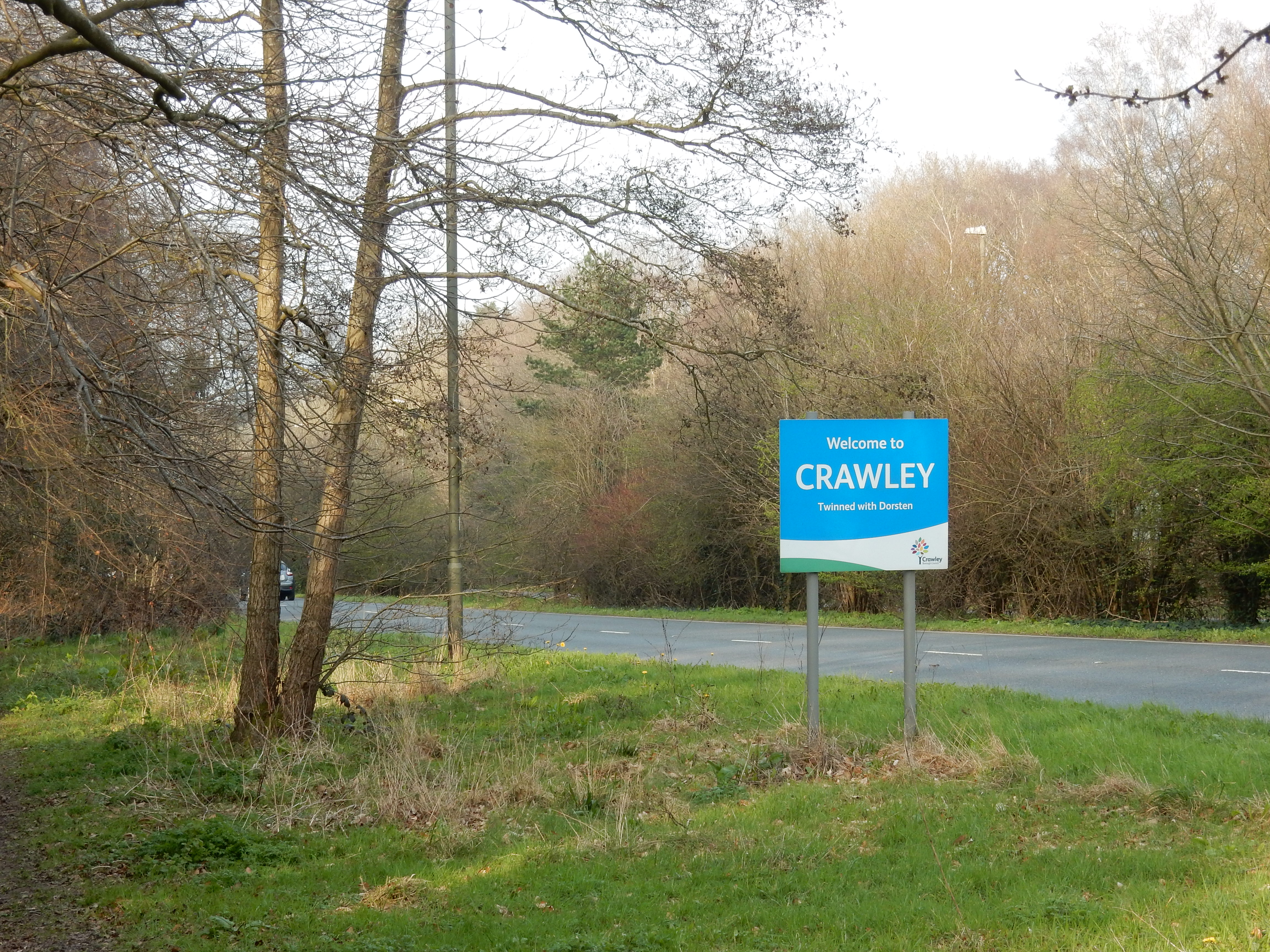
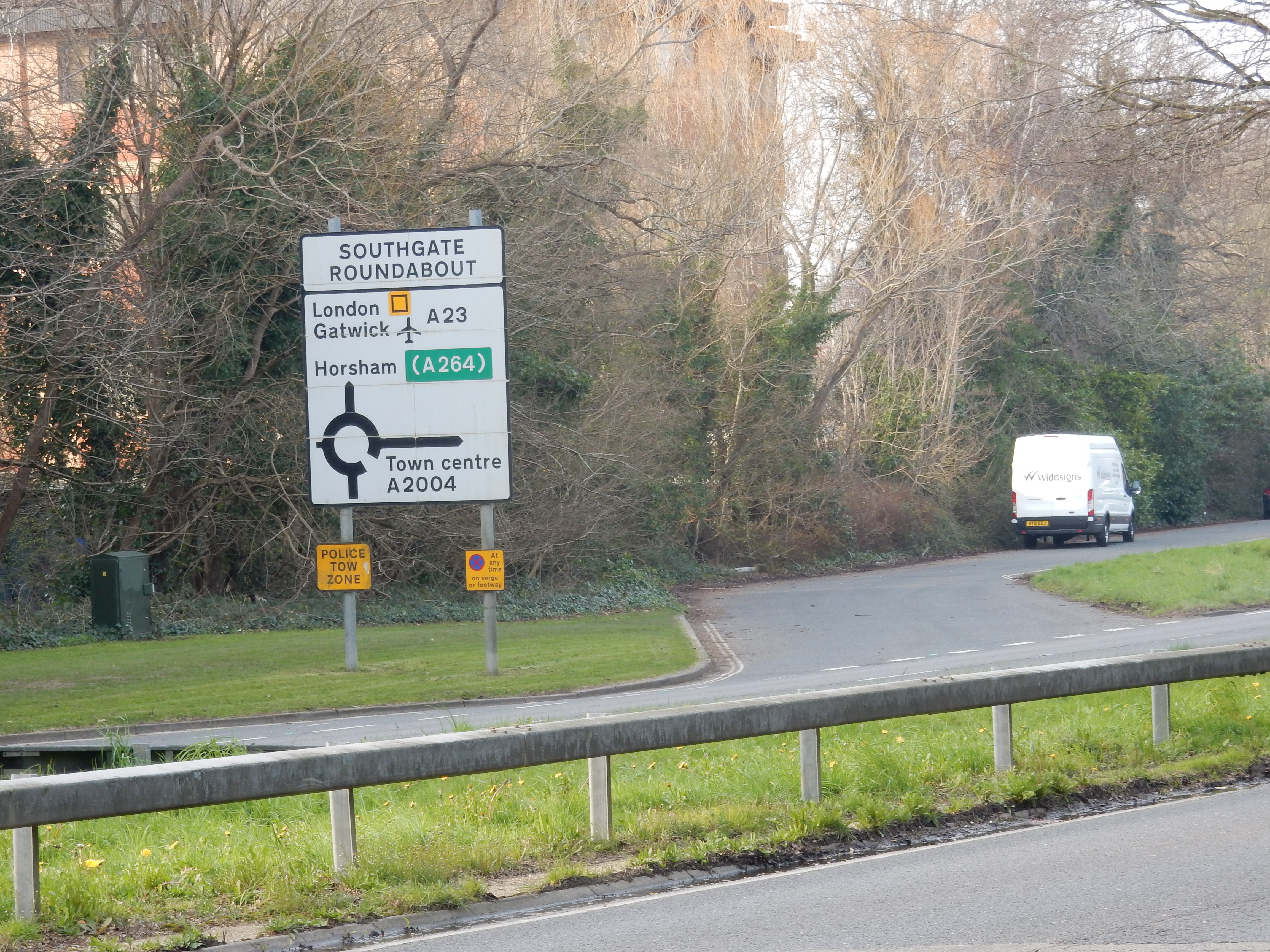
After about a mile, the research mission is accomplished, so I take a right turn at the County Mall because I simply follow Three Bridges Road until the eponymous Rail Station is in sight. On my Horsham walk, a year ago, I arrived at Three Bridges to find service disruption due to a passenger being hit by a train. Groundhog Day.
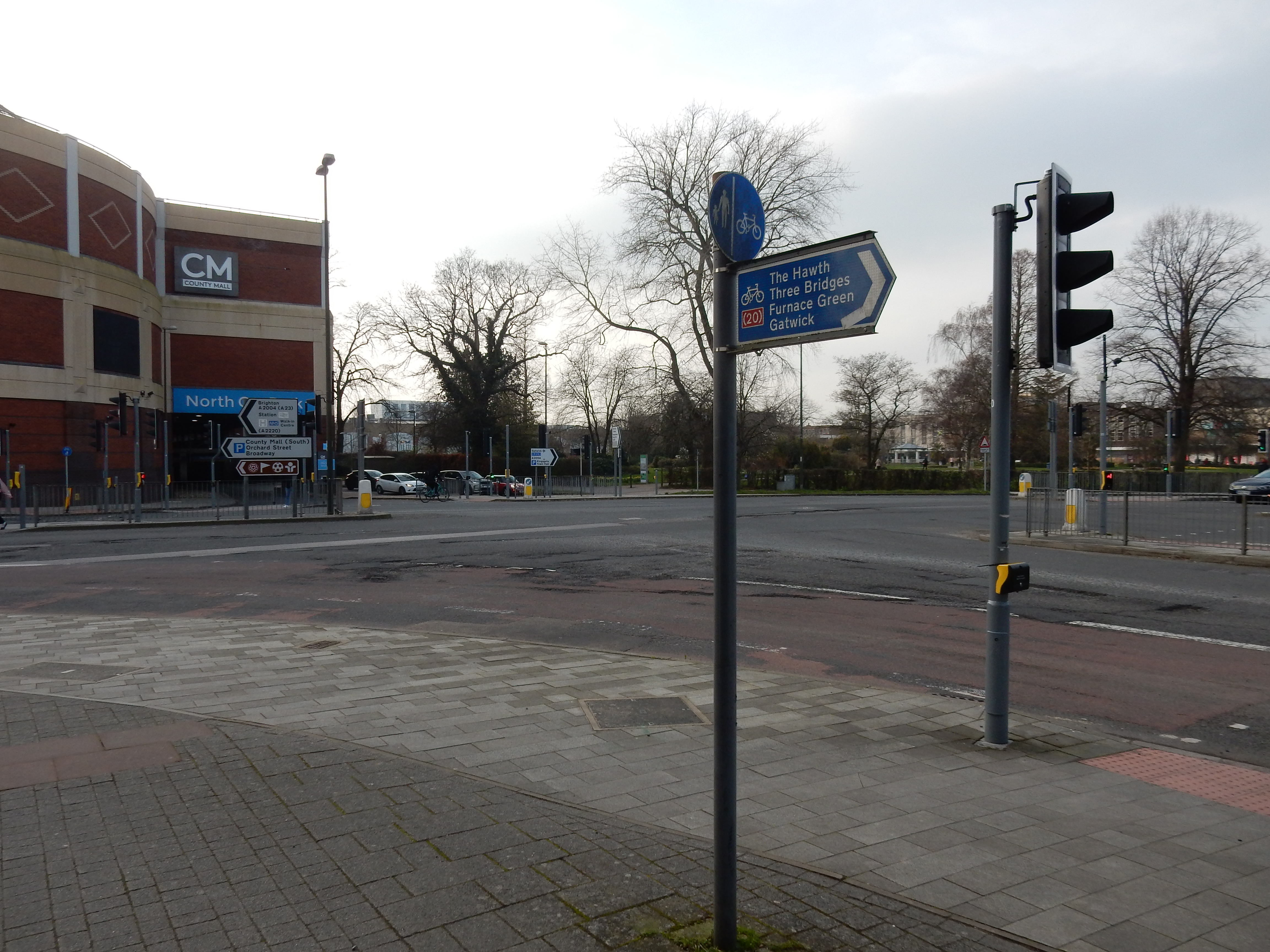
Did I learn anything from all this? The route is all good going and 3MPH is achievable. It was a mistake, though, to break out my summer walking boots and do a lengthy walk without first reaccustoming my feet to them. I probably chose the wrong socks, too. Look, I said these notes were nothing you really needed to know.