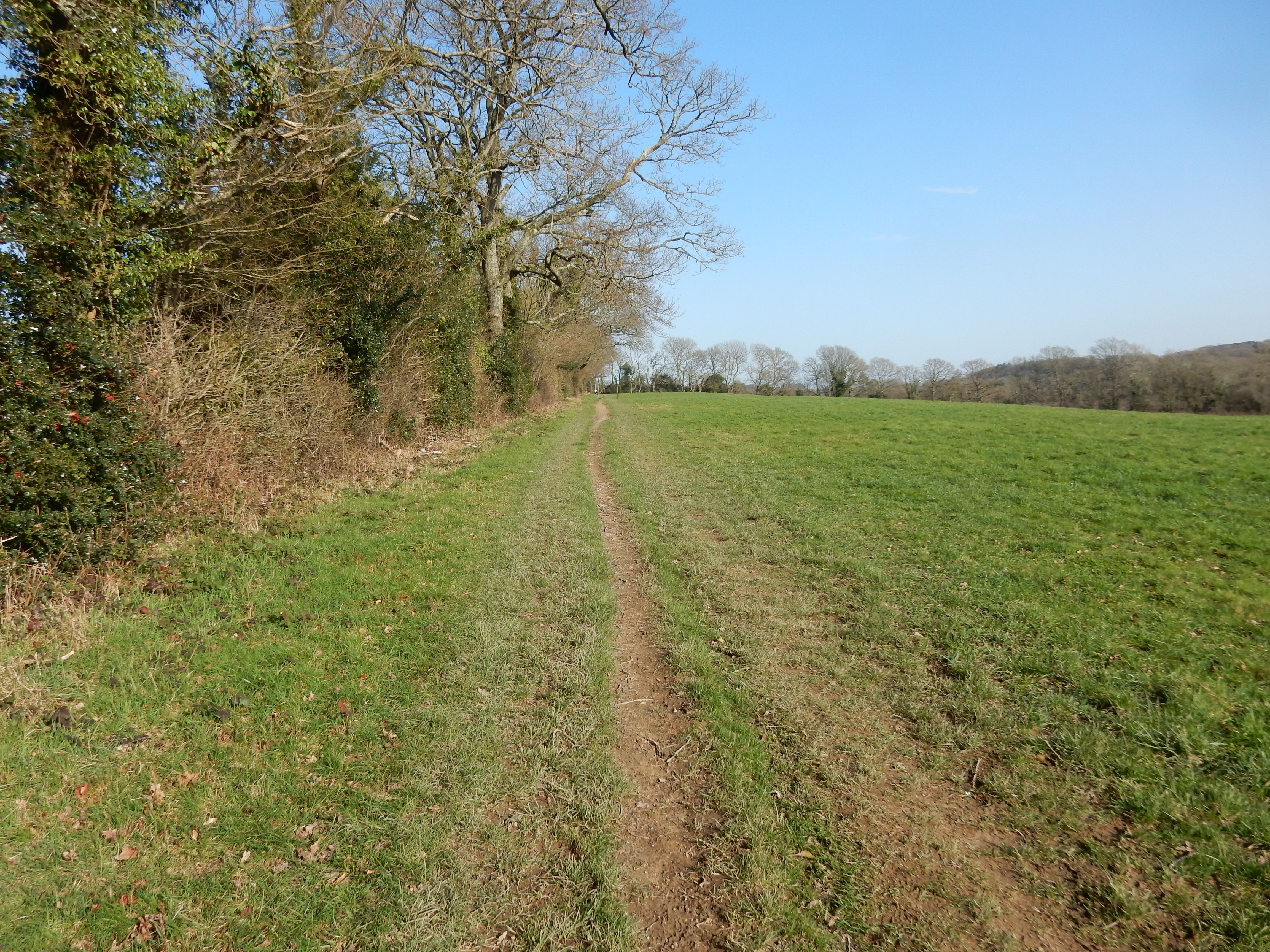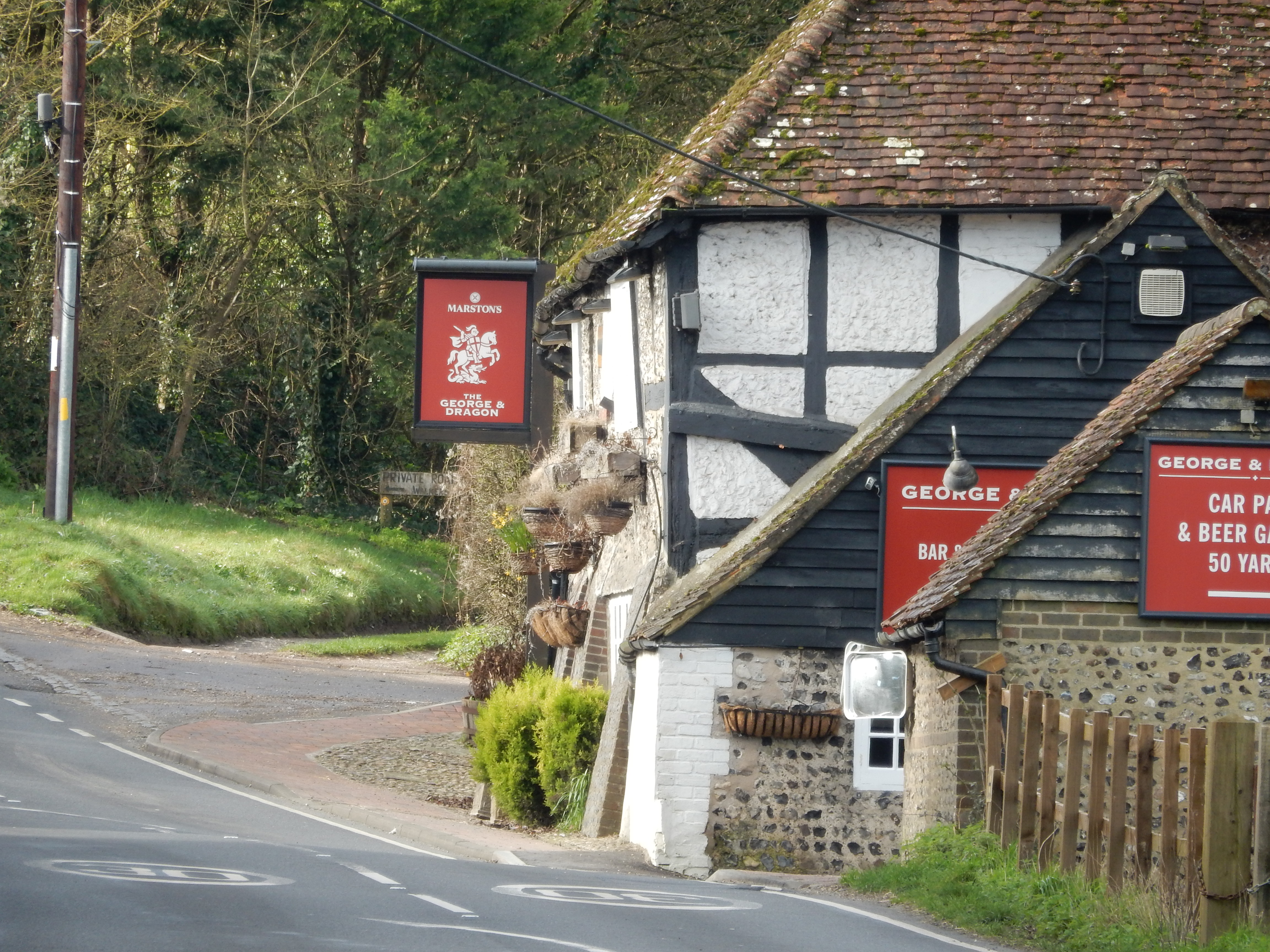
Parametric data
- Route name:
- Houghton
- Start point:
- Houghton, also shown on ///what3words.
- End point:
- Abingworth, also shown on ///what3words.
- Synopsis:
- A short distance route[1] across the River Arun, below the South Downs, and offering a variety of walking surfaces and scenery.[2] The mid-section cuts through the grounds of Parham House and the outskirts of Storrington.
- This route on OS maps:
- https://explore.osmaps.com/route/30642832/ ...
- OS Explorer sheet ref(s):
- 10.
- Distance:
- 7.5 miles walked, 6.1 miles flown.
- :
- 4.7 hours.[3]
- :
- 3.9 hours.[4]
- Ascent:
- 150 metres.
- Stiles:
- Seven.[5]
- Landmark of note:
- Parham House
- Feasible excursion:
- A more northerly start, e.g. from Coldwaltham, perhaps.
- Waypoints:
- Amberley, Cross Gate, Rackham, Parham House, Cootham, Storrington, West Wantley.
- Fuel:
- Packed lunch at the seat just before Hurston Lane.
- :
-
 13°C,[6] 🌤️
Only a little cloud and mist at the start.
- :
-
 22°C,[7] 🌦️
Light rain for the first hour, but mainly sunny thereafter.
-
Free of in-road walking: -
About ¾ mile through Amberly. Light traffic.
-
Footpath construction: -
 Long stretches of unmade path at several points.
-
Footpath condition: -
After months of rain it is a complete mud bath.
Route popularity:-
A couple of other hikers approaching Parham.
-
Vistas: -
 Sights to see across the Arun valley, going through Parham,
and up to the South Downs.
Blackberries:-
 Around Storrington later in the year,
maybe.[8]
Route map.
Walk notes
An unusual route of mine, this, because neither end is a rail station. It serves a particular purpose which will be known to those with similar motives.
I take a number 71 bus from Abingworth to Houghton. The ride is quite pleasant, passing through several small, Sussex villages, via some seriously minor country lanes. These our Transport of Delight takes at a furious pace, despite insufficient clearance for White Van Man to squeeze past us. We make it as far as Bury where an about turn is forced. Houghton Lane has flooded and been closed to through traffic. Back out to the A29, the B2139 and into Houghton from the west. Having dropped the only passenger to alight at Houghton, the #71 then reverses down Houghton Lane, making another tight U-turn before storming off to Chichester.[9]
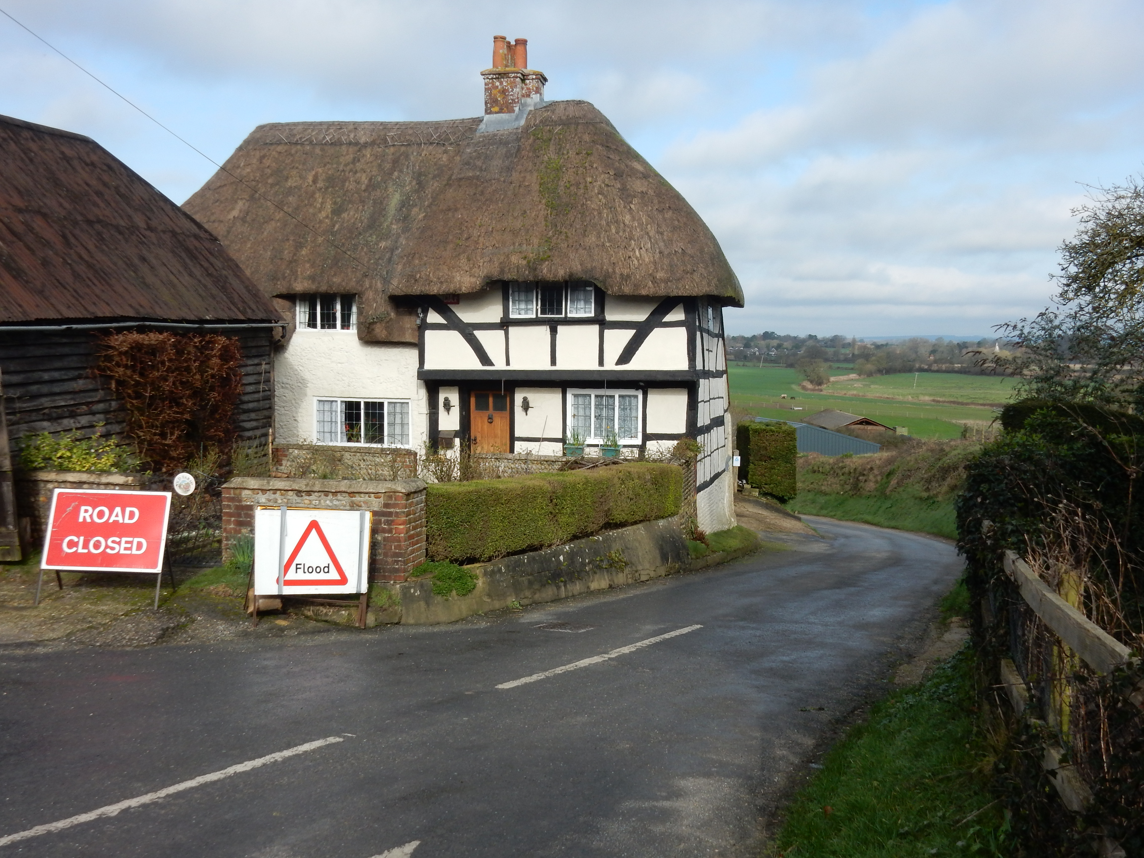
After shake, rattle and roll disappears westwards, a welcome hush descends on my environs, interrupted only by the calls of wildfowl and the rumble of a train running along the Arun Valley Line. Morning fog burns away, revealing wide expanses of Amberley Wildbrooks Nature Reserve. ¼ mile down the lane, I turn onto the South Downs Way.[10] Winter rain has left all this in a very soggy state, and where farmed field ends and the river begins, is hard to say.
Underfoot, of course, is nothing but mud. Great for the Shoveler, perhaps, but tricky for hikers not shod in wellies. A writer of advertising copy assures me that my boots are waterproof. I shall try them out in London - where (I am promised in addition) the streets are paved with gold 🤥
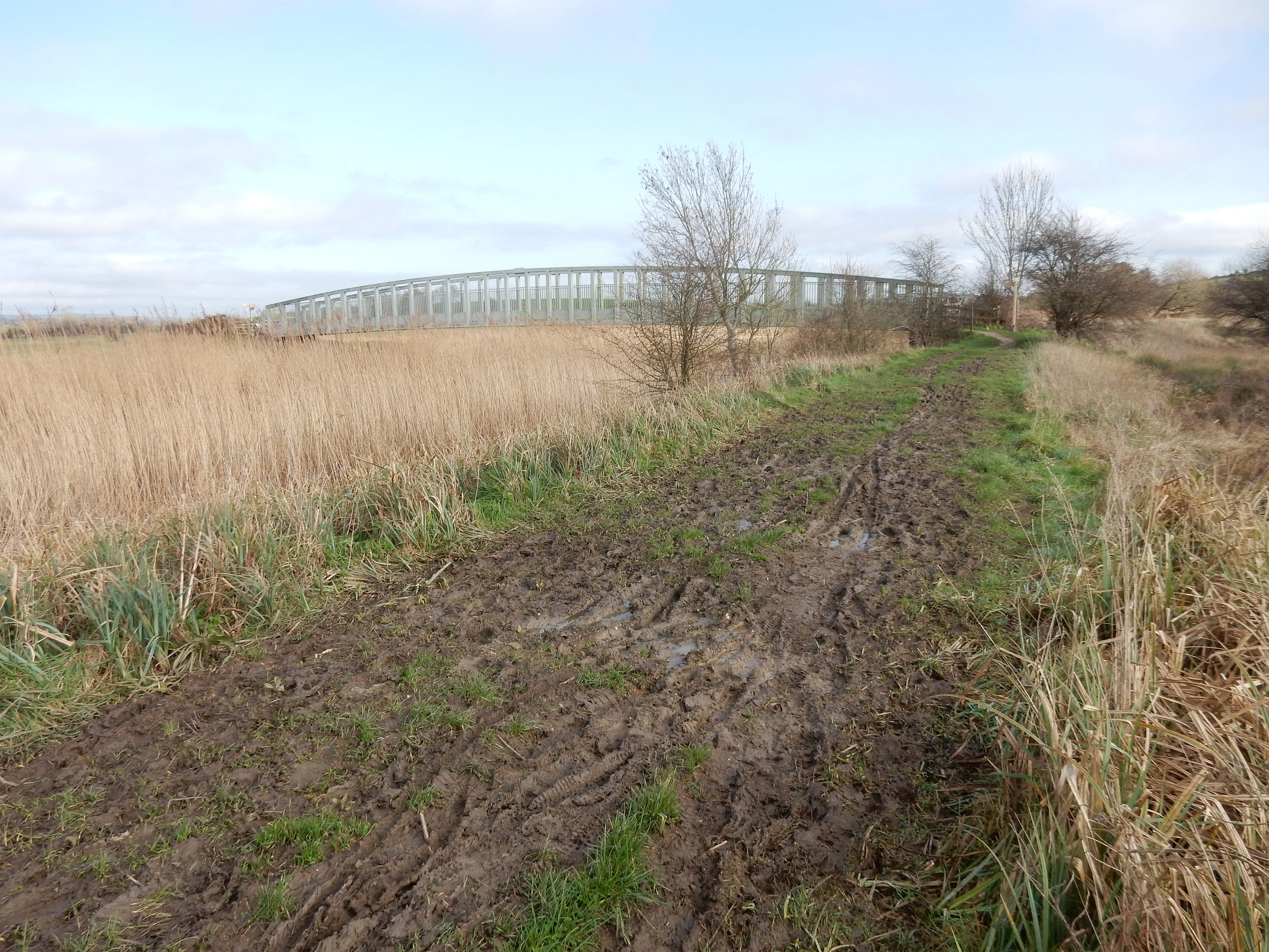
Looming ahead is the outline of Amberley Castle - invulnerable to attack by anyone without wellies. I shall certainly not attempt an entrance to it because I am lodged in Sussex at a location whose tariff represents a less formidable defense. My nose suspects the garderobe could do with a clean out (although I concede the 'Water Recycling Centre' here on the Arun is another possibility).[11]
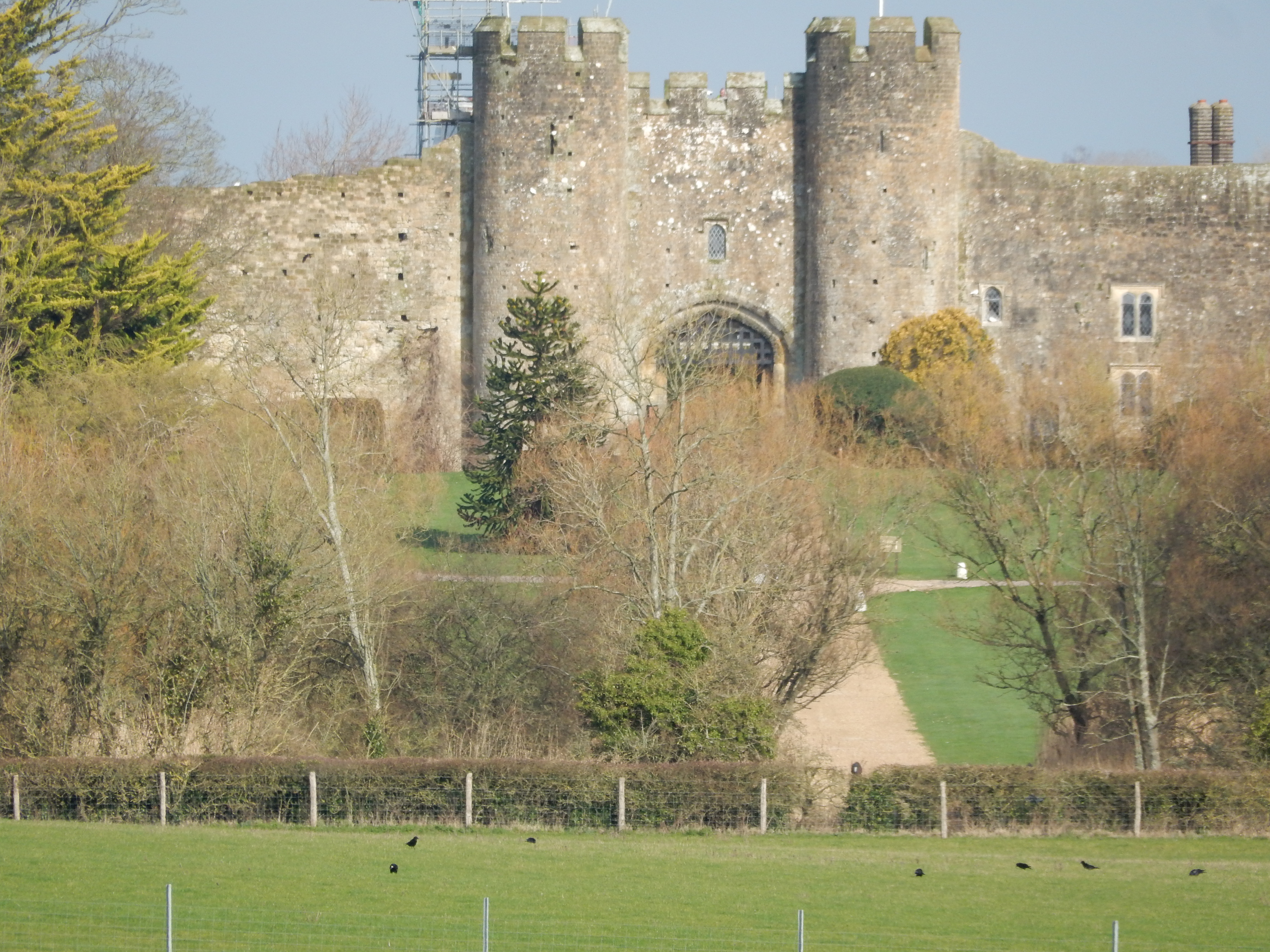
Hammering and banging from inside the Black Horse in Amberley village suggests that plans to reopen at the end of March may come to fruition. It might have done for coffee, but lunch must wait a bit. The High Street is hardly a feeder for the M27, but it has no footway and is extremely narrow in places. When a vehicle comes from the top end then other traffic and pedestrians must give way. My first visit to the museum, in 2025, did not disappoint. There is a cafe, a Post Office and a village stores, should you require resupply but, not so doing, I skirt round to the west.
Leaving Amberley, I catch a view towards Coldwaltham of trees and fences poking out of the waters of the Wild Brooks reserve. A great day for the ducks. In the opposite direction is a clear view of the Amberley Downs; at least what is left of them after half their chalk and flints has been mined away. A good day also for cattle in the large field after Crossgates. Well, that's what the sign says they are.[12] Regardless of what livestock the field actually contains, there is no confusion about the slope of the path crossing it: downwards. I know exactly what I'm going to find at the bottom of it - water. Happily, the path gains sufficient altitude again for a stop for tea. To my chagrin, I discover that the small flask, that I chose at the last minute, incorporates no cup on top. No worries, I will eat my yogurt then use the pot as a cup. "That's a good idea, Stanley".[13]
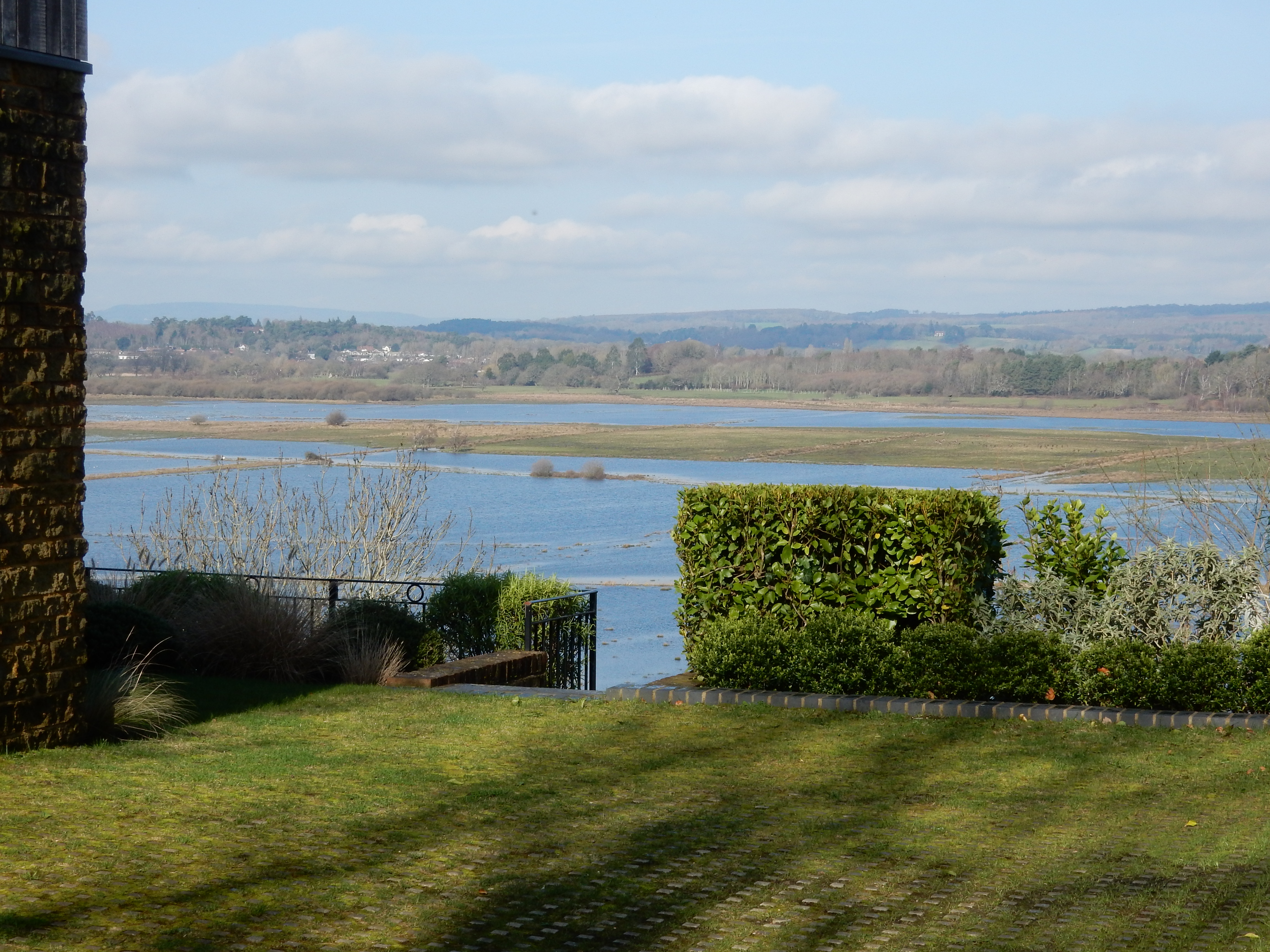
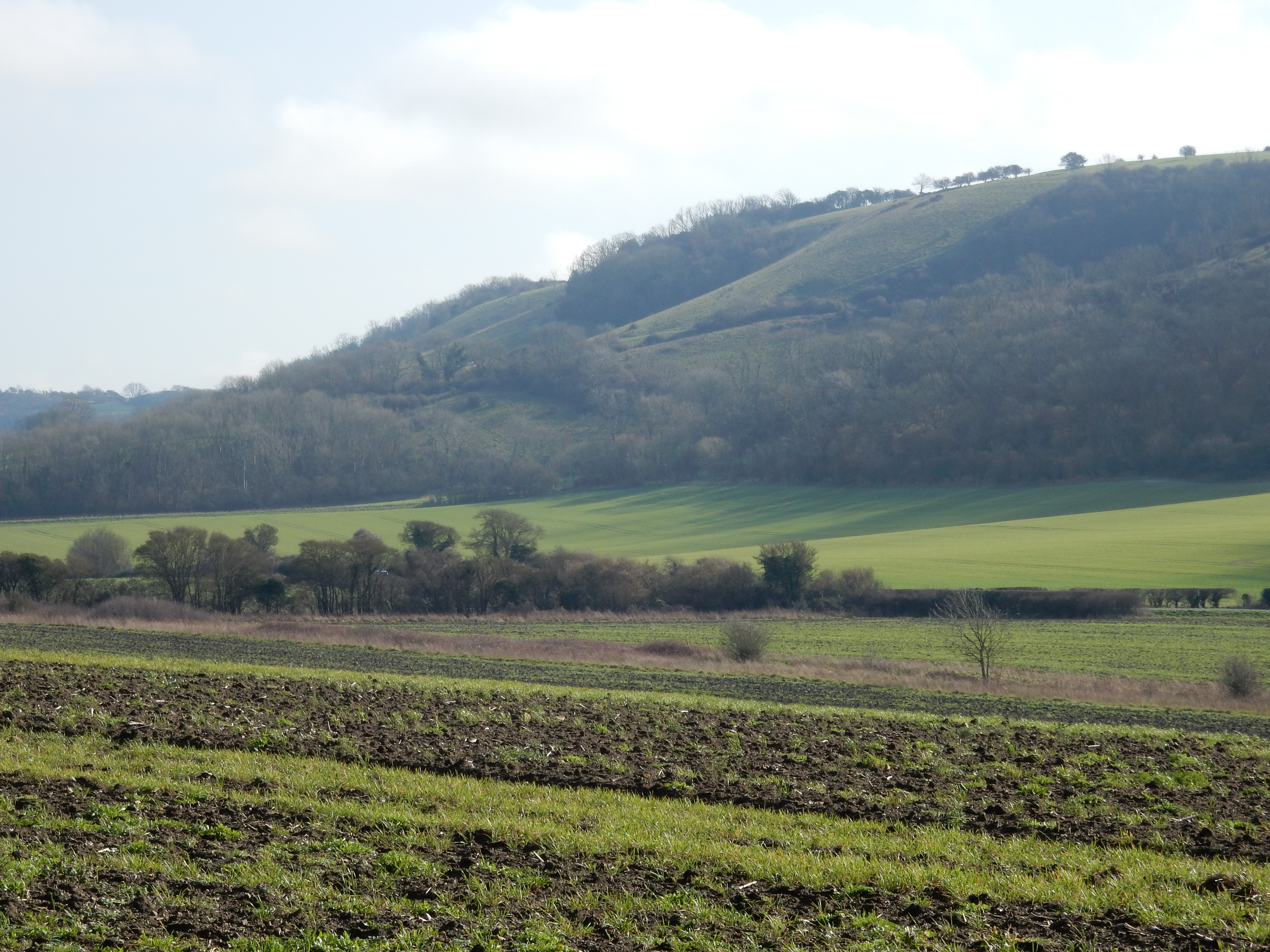
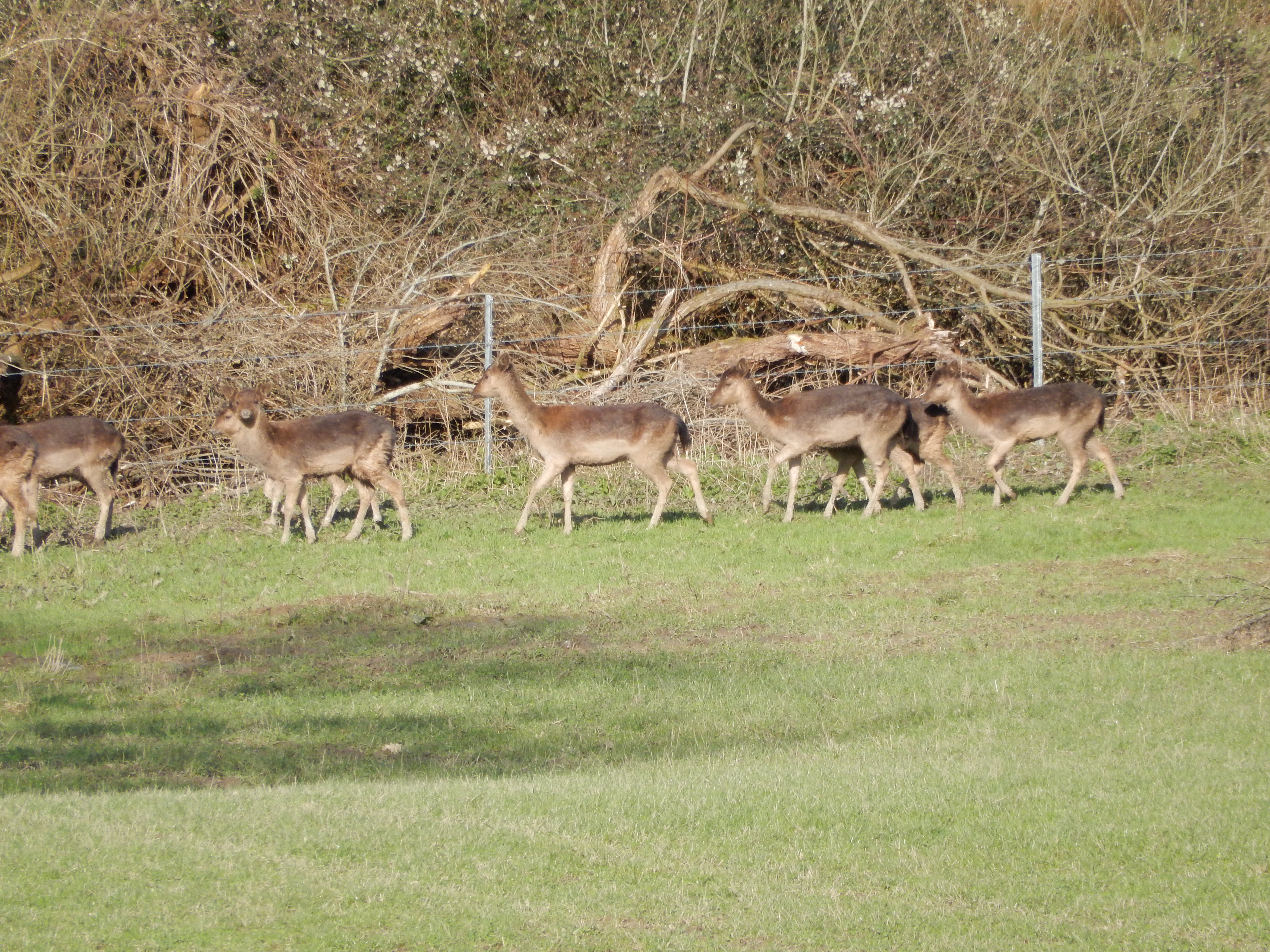
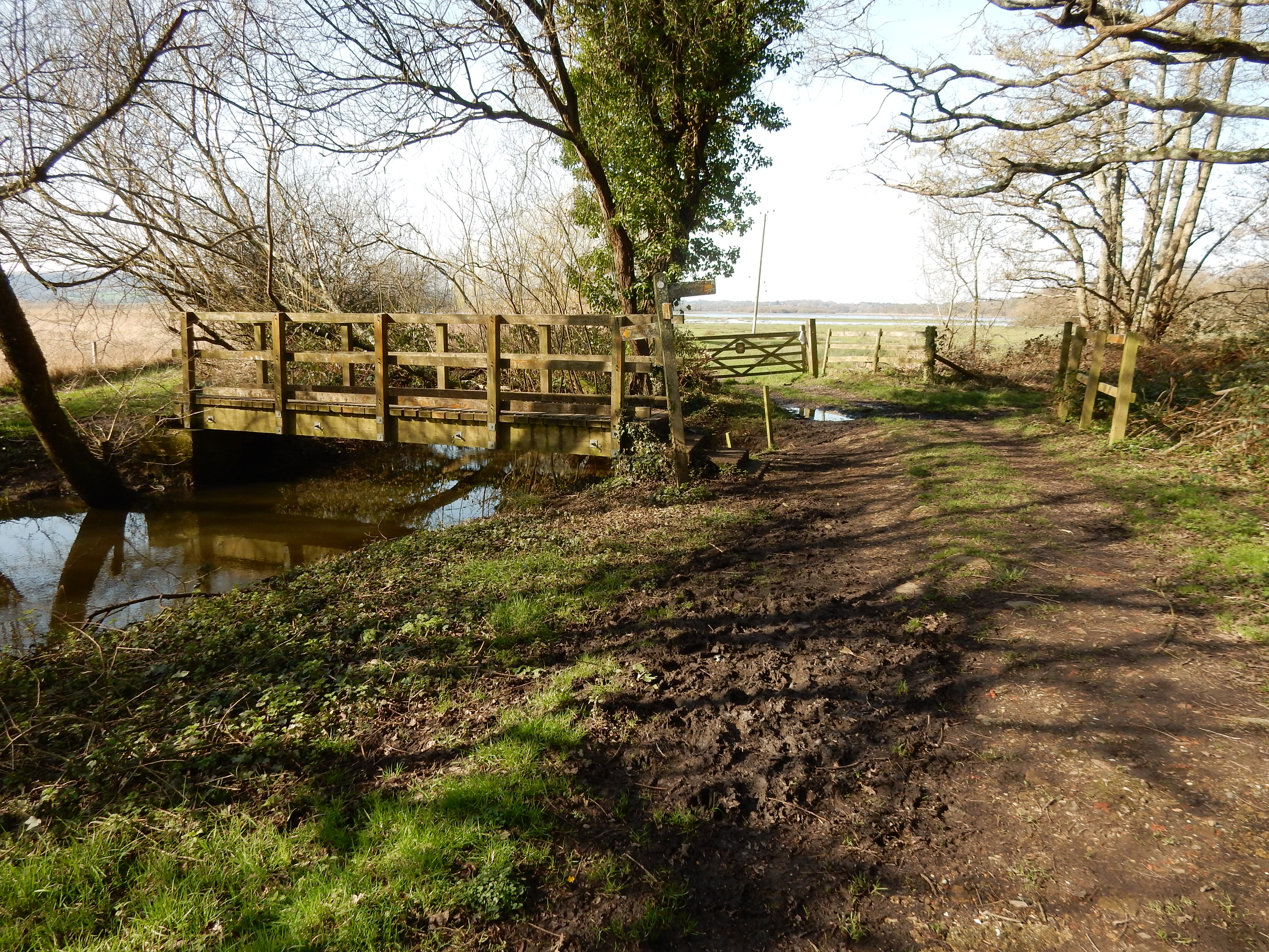
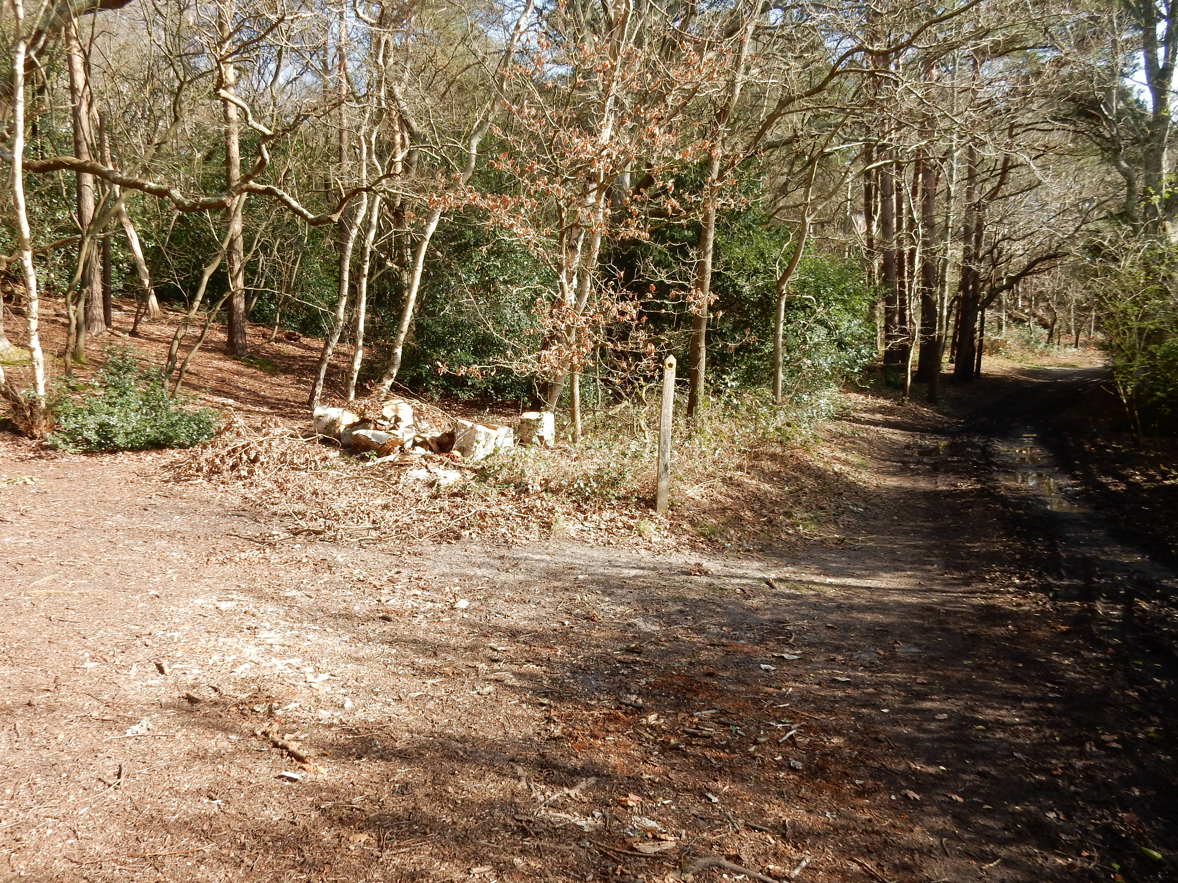
Back on the road, instead of turning right, I head off towards Greatham, and take seven minutes to realise my mistake and regain the West Sussex Literary Trail[14] as it disappears into the grounds of Parham House.[15]
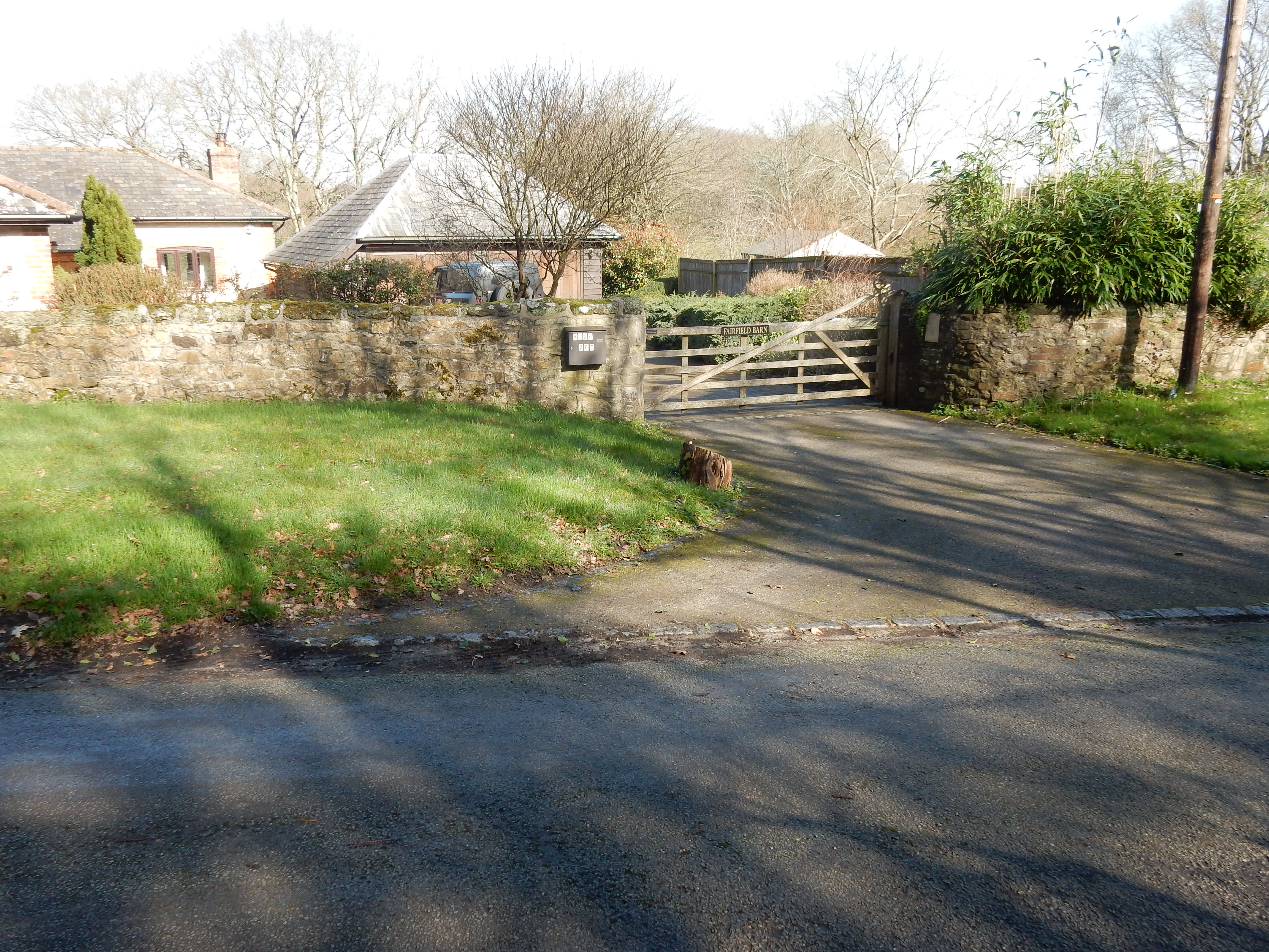
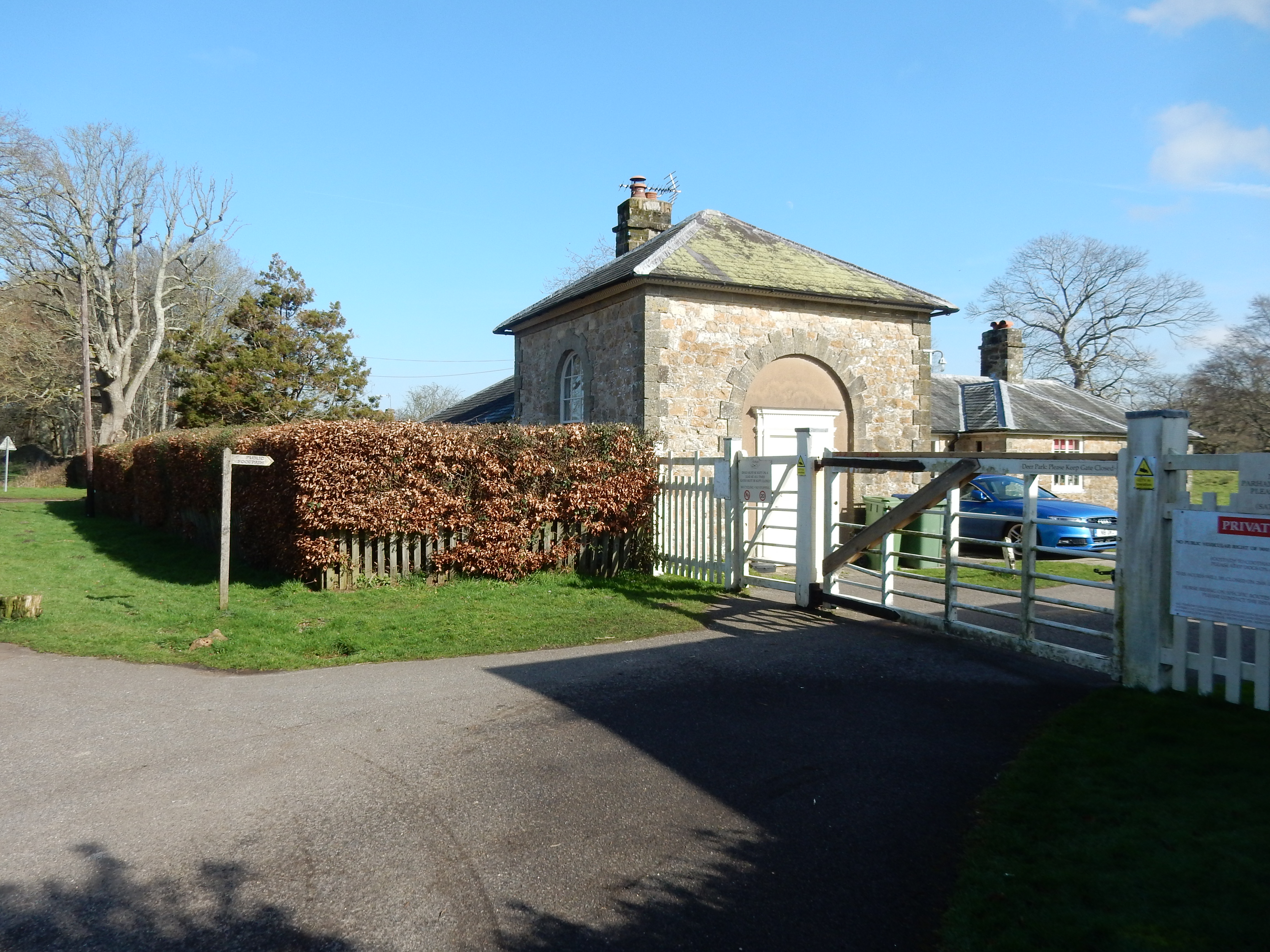
The PRW through Parham is mostly easy tarmac surface interupted, however, by ¼ mile of waterlogged unmade. That is presaged by a rather full lake where recent clearance of bankside trees has opened up a distant view of the Elizabethan house - later to become hidden behind a high brick garden wall. The grounds, classed as an SSSI, hold 200 head of Crossgates Cattle. The multitudes that descend on NT properties are absent here and, even if time and money permitted a tour of the house, it is welcoming to the better class of visitor, so I instead continue eastwards.
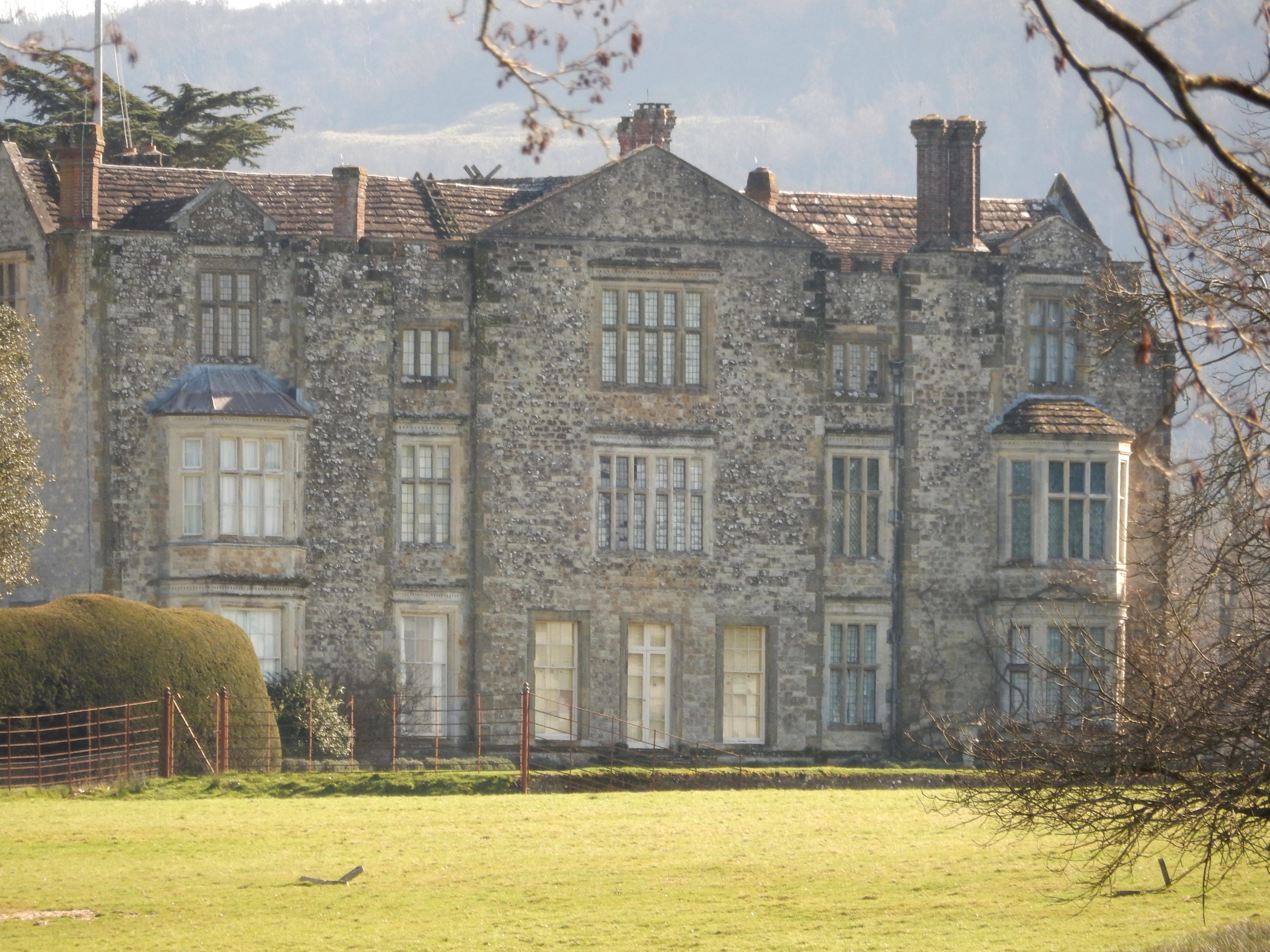
Leaving Parham,[16] I face a short stretch of A283, thankfully with a footway, before Cootham (at the western end of Storrington). My route turns left opposite the bus stop and then along the eastern side of Parham Airfield[17] but, on a leisurely day, could continue 100 yards further to lunch at the Crown Inn. Shown on the OS map are some harbingers of the doom to follow: Bog Common, the River Stor,[18] and another 'Water Recycling Centre'. 300 yards north of the A283 these ill-omens coalesce. Is it a path? Is it a stream? Is it a woodpile? Is it a swamp? I only know what it isn't: walkable.
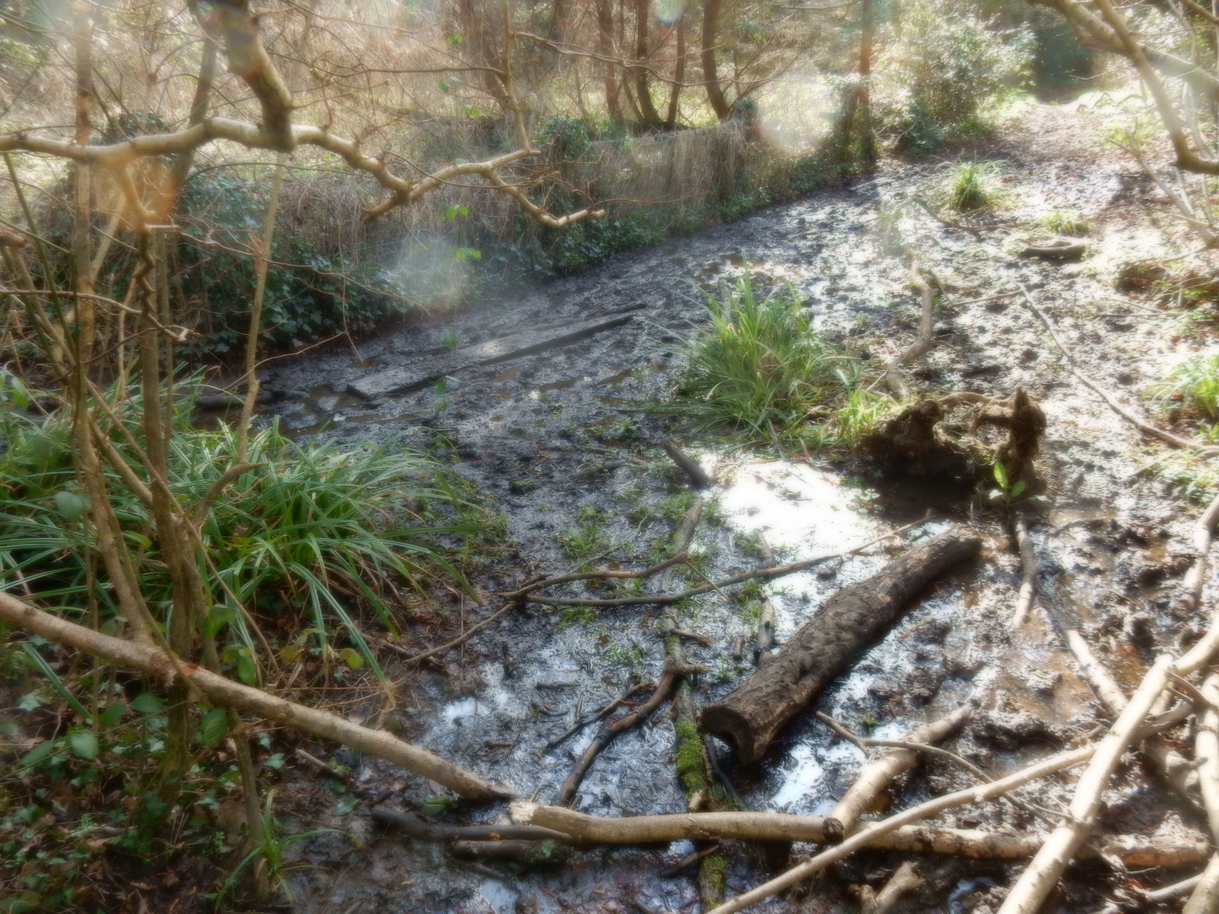
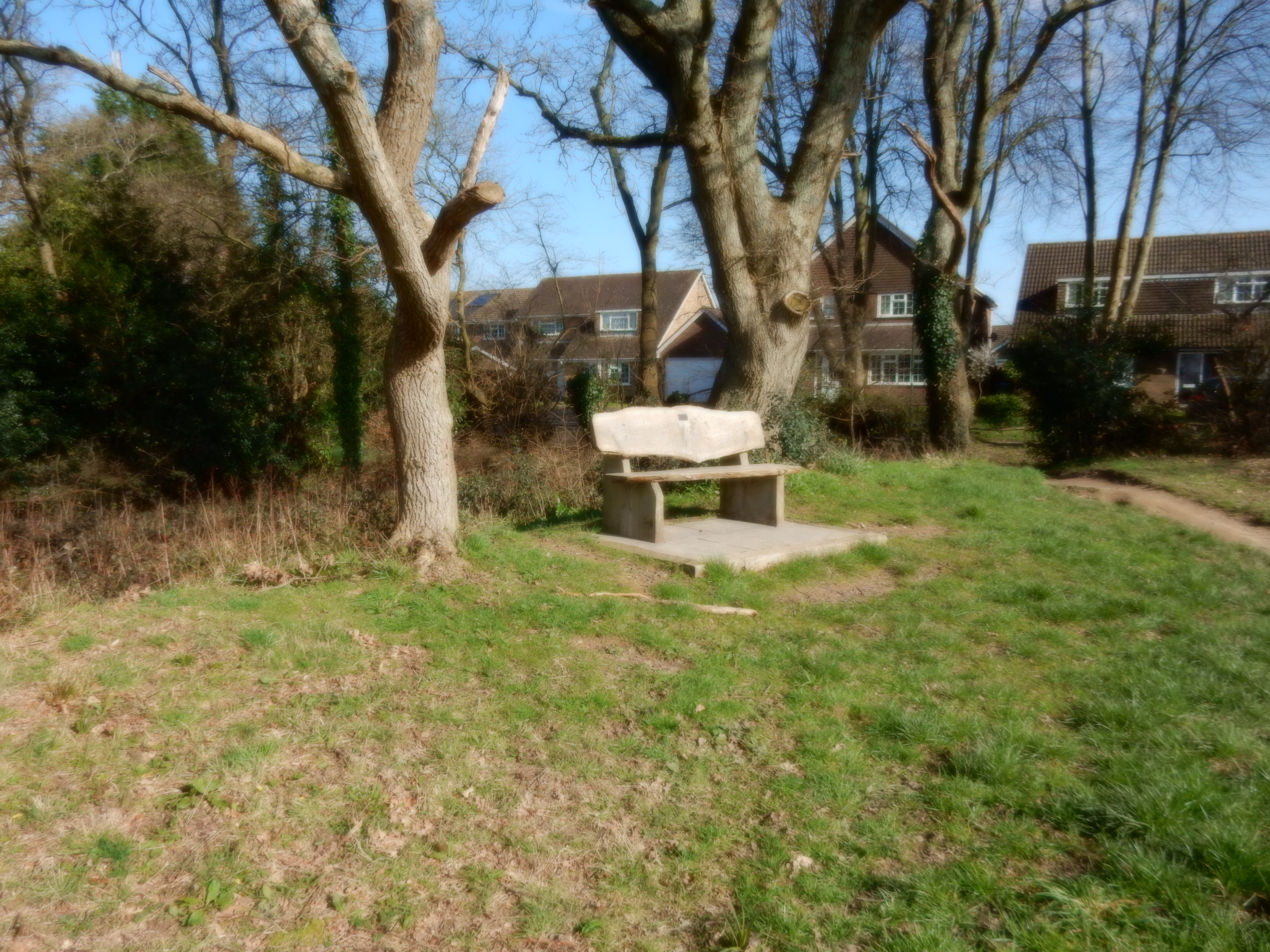
Relief arrives shortly after the footbridge across the Stor, and a short climb out of the Grimpen Mire.[19] At the Hurston Lane end of the path is a seat where I consume the remainder of my pack lunch. Afterwards, I resume progress northwards along Hurston Lane to the point where it turns slightly to the west, and I continue straight on the footpath. At present, the finger post is out of position, and has to be looked for carefully. Shortly, I come to a stile whose far side is under two inches of water, with super-soft mud below that. A jump down is inadvisable. The following stile is broken, and the one after that has seen better days. I cross a small stream after finding a fallen branch to use as a stepping stone.
It stays pretty soggy until I reach Perrett's Farm. There is further mud, but not flooding. The going is straight and easy; such as here passing Roundabout Farm, with some nice views thrown in. That is it, too, until the end of the walk at Jacket's Hill in Abingworth.