
Parametric data
- Route name:
- Hoveton
- Start point:
- Hoveton.
- End point:
- Lower Street.
- This route on OS maps:
- https://explore.osmaps.com/route/21338215/ ...
- Distance:
- 13 miles walked, 10.7 miles flown.
- :
- 5.0 hours.[1]
- Ascent:
- 121 metres.
- Stiles:
- 4 (at the rail line).
- Landmark of note:
- What a sign for sore ears 👂
- Feasible excursion:
- I would love it if the road called Potspoon Hole offered a viable way around Coltishall and the B150.
- Waypoints:
- Oak, Sco Ruston, Coltishall, Scottow, Swanton Abbott, Swanton Hill, Woodcock Hill, North Walsham Heath, Felmingham, Antingham.
- Refreshments:
- Pack lunch at The Hill.
Weather:-
 12°C,[2] ⛅️
More sun in the afternoon. A 'moderate' breeze.
12°C,[2] ⛅️
More sun in the afternoon. A 'moderate' breeze.
-
Avoiding roads: -
 Absolutely the worst the OS has delivered to date.
-
Footpath construction: -
About half the walk is across dirt.
-
Footpath condition: -
 Wellies not needed. See text.
-
Vistas: -
 It's Big Sky Norfolk: mostly flat.
Blackberries:-
 Here and there, but not much woodland where they usually
flourish.[3]
Here and there, but not much woodland where they usually
flourish.[3]
Route map.
Walk notes.
 Start of the
Bure Valley trail.
Start of the
Bure Valley trail.
Another 'off piste' walk this week; away from my South East stomping ground. It is also my first walk in East Anglia since February, when I undertook Lower Street to Sheringham. As a reader of perspicacity, you will understand today's walk to be the next three stops along the line from Sheringham to Norwich. The logistics would be simple except that trains (outside the peak period) now stop at Gunton only once every two hours. A rushed breakfast is required to leave home at 08:00 for a drive to the walk finish where I am able to park. This is my first ever walk to require that preliminary.
Although my departure is hasty, I spend a minute or two deciding on footwear. Summer is a comin' in according to the calendar, perhaps, but Spring has been more than a tad cold and wet, to date. For choice, I'd rather do thirteen miles in ordinary walking shoes but, to play safe, I select walking wellies. Year after year squelching across Wealden clay teaches me such caution. However, by the end of today, it's apparent that wellies were unnecessary here. Yes, cold and wet is traditional for these parts, but so is the incessant onshore breeze. Given half a chance, it can dry out the soggiest fenland. It's only through Norfolk's relatively uncommon woodland where puddles persist undiminished by light or air.
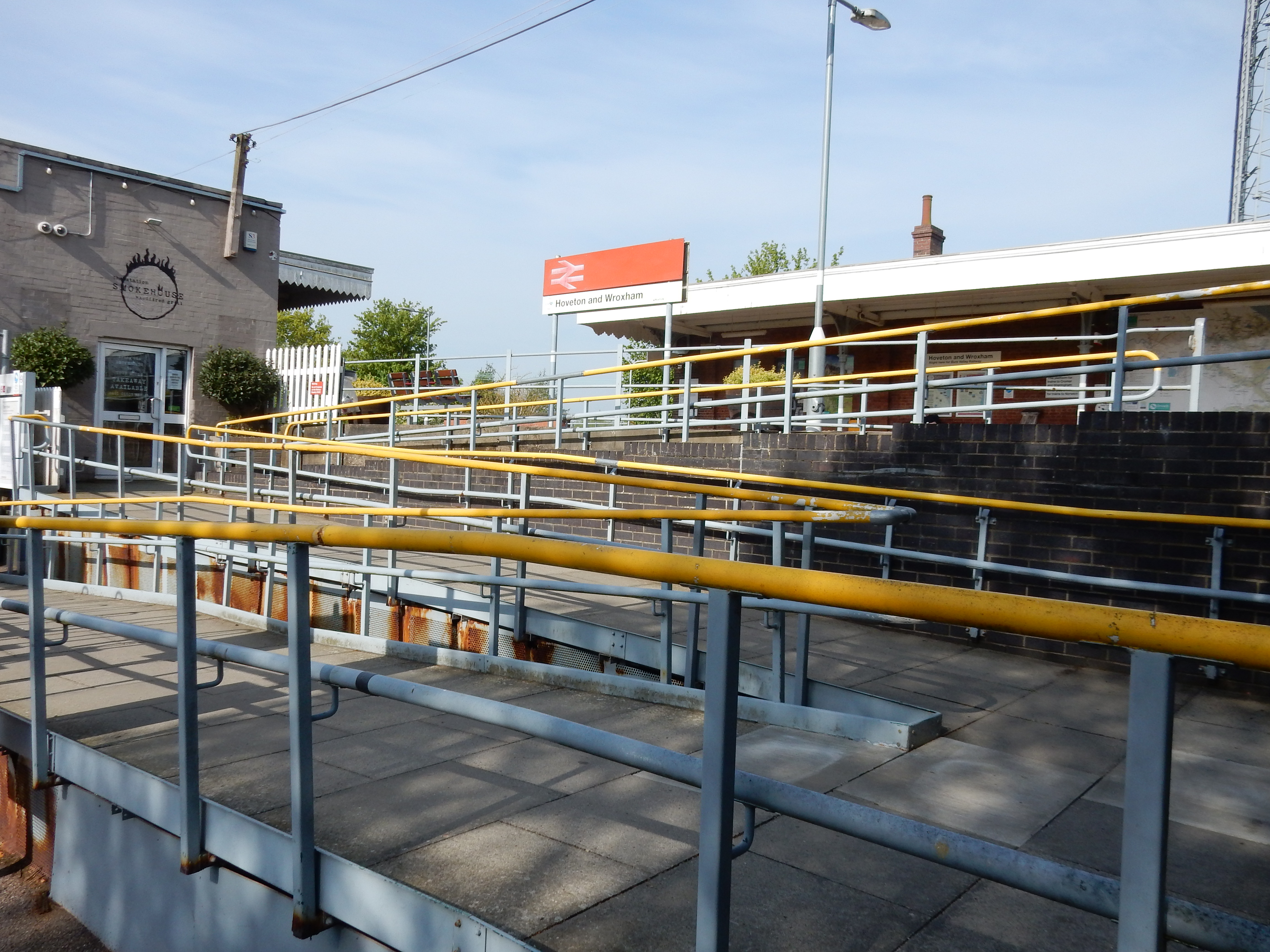
At the mainline station, I fail to find the footpath across the
B1354 to the
Bure Valley
platforms, and am obliged to go under the bridge. This
unpleasantness is avoidable by means of the subway to the
western side of the line 🫏
Further navigational
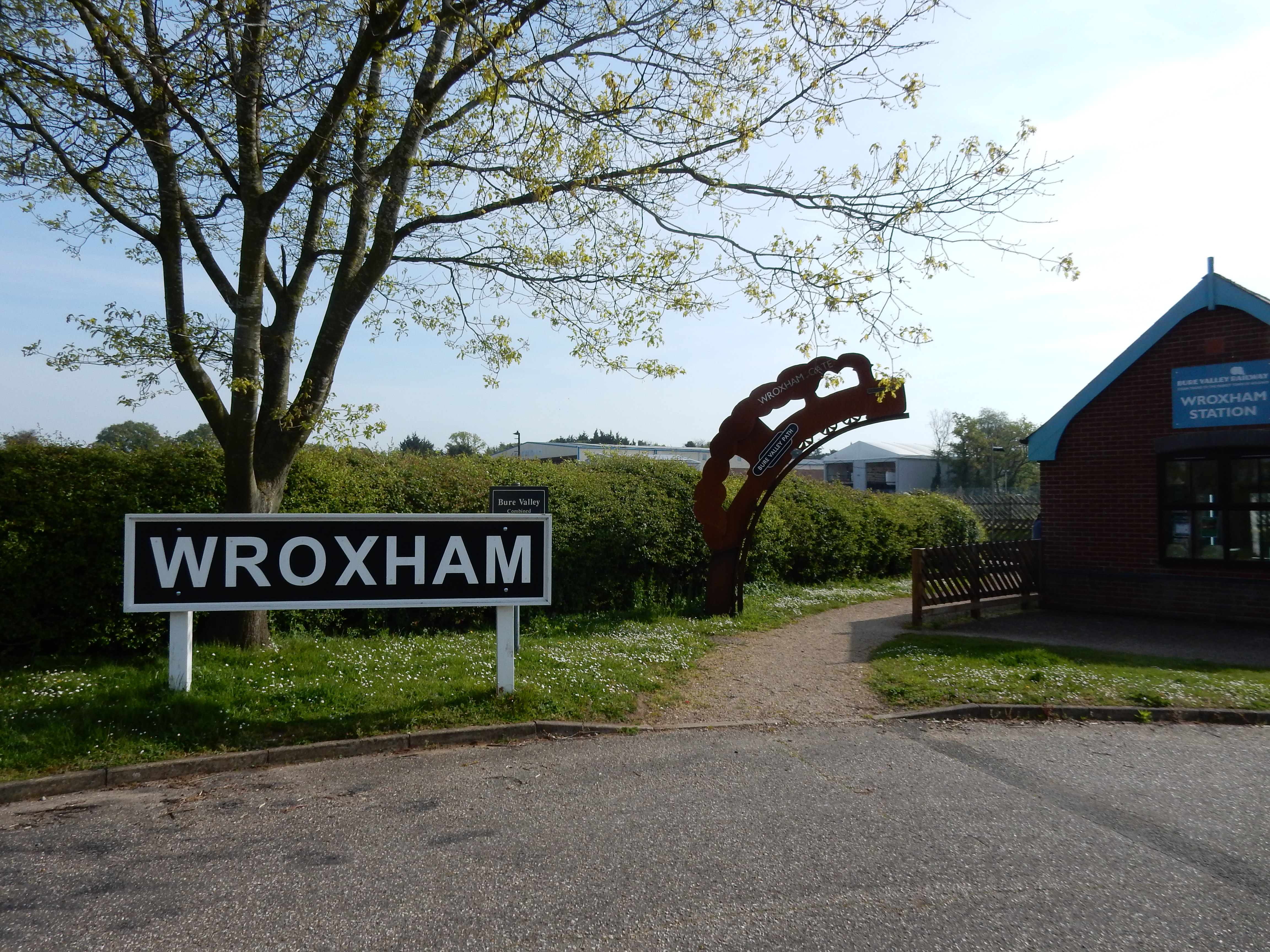
difficulties follow, but for the first 1½ miles, you
simply use the
Bure Valley Walk, starting from the heritage rail terminus at
Wroxham. Five minutes stroll northwards takes you to the point,
seen in the video below, where the mainline to Sheringham splits
away from the route it shared out of Hoveton & Wroxham with the
Bure Valley line. Both are single-track working. In addition,
the heritage line is a narrow gauge effort - readily apparent
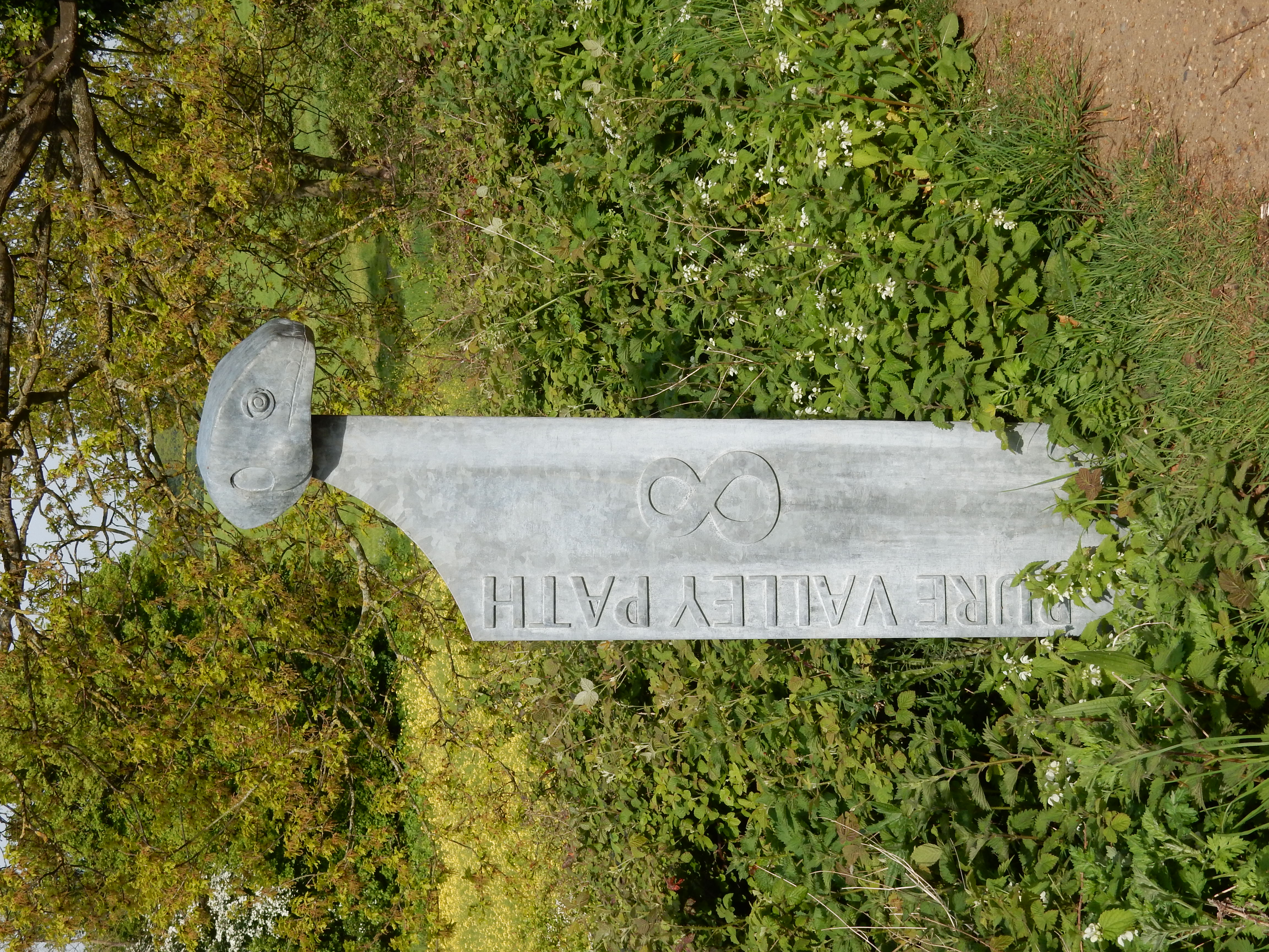
in the clip.[4] A little further on, look out for the number eight
trail marker. Soon, however, as it is the Sheringham direction I
need, the OS has to abandon the Bure Valley Walk and then
continue further to the North.
After the climb up from the track to Tunstead Road, the scenery takes on the character it adopts for most of the remaining walk: wide open arable land. In a normal year, you might expect to see some growth, at least. Today, not a single shoot pokes through. Spring, evidently, has been cancelled. Only at' solar farms' does a crop thrive, as in nearby Coltishall where 50 megawatts is harvested.
Well, green or not, make the most of the walking conditions because a nasty surprise awaits: the B1150. Normally, the OS will plan routes avoiding traffic, if at all possible. OK, this stretch of the North Walsham Road is only a little over one mile in length, but there is no proper footway, and the verges are overgrown and barely useable. Traffic is heavy, and doing 50.[5] Goodbye cuckoo. Hello fighter jet out of Lakenheath.[6] Farewell wind in the willows. Greetings HGV slipstream 🚛
Also overgrown and unused are the ruins of the church of St Michael at Sco Ruston. The saddest sight in East Anglia. 'Sco', we are told, means 'wood' in Old Scandinavian. Of course, as the Nottingham site dryly observes, 'There is no woodland left.' It so happens that my mitochondrial DNA is chocka with segments from Scandinavia; yet I experience no urge to raze North Walsham, and the church was definitely not of my ruining 🔥
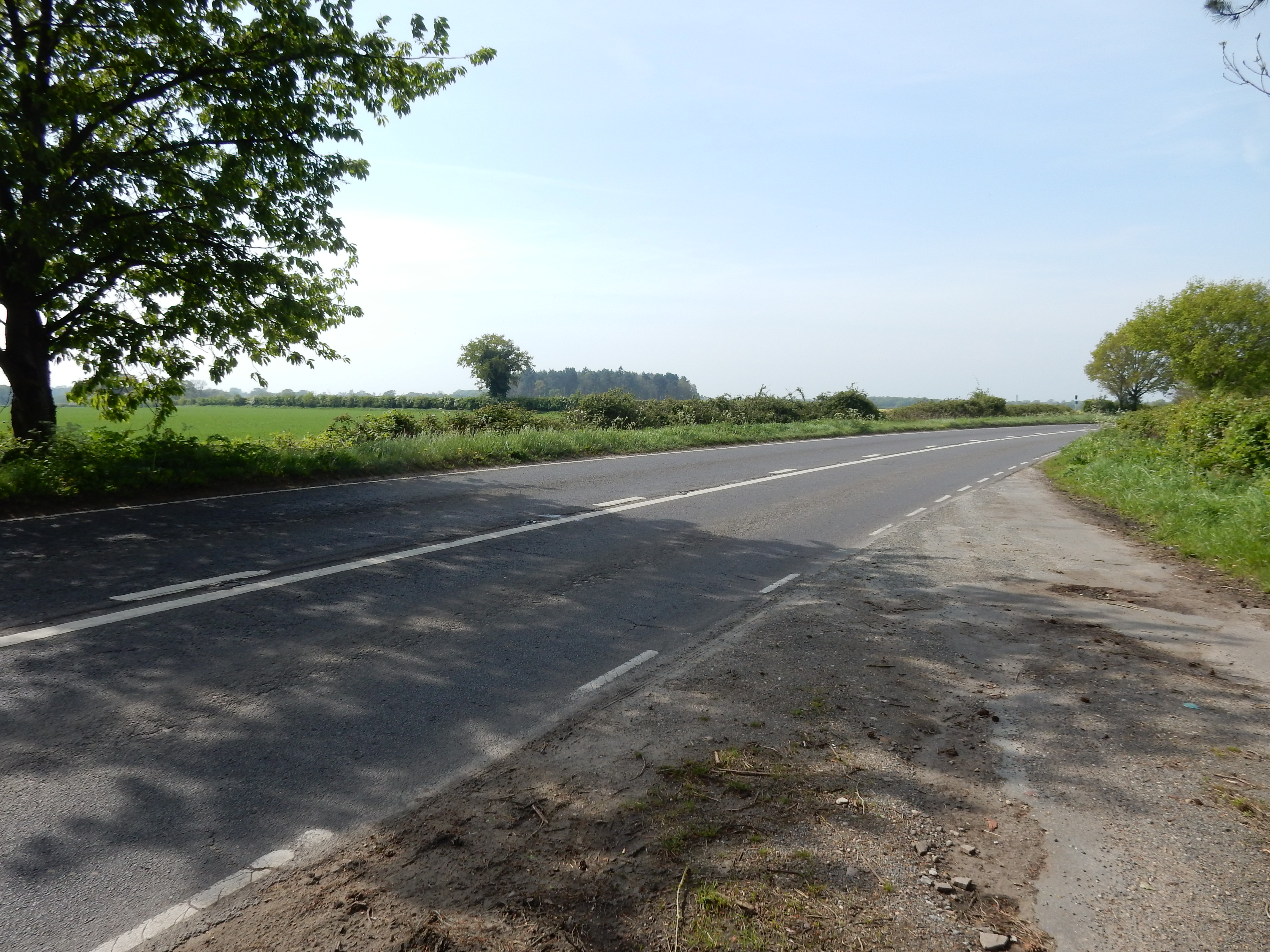
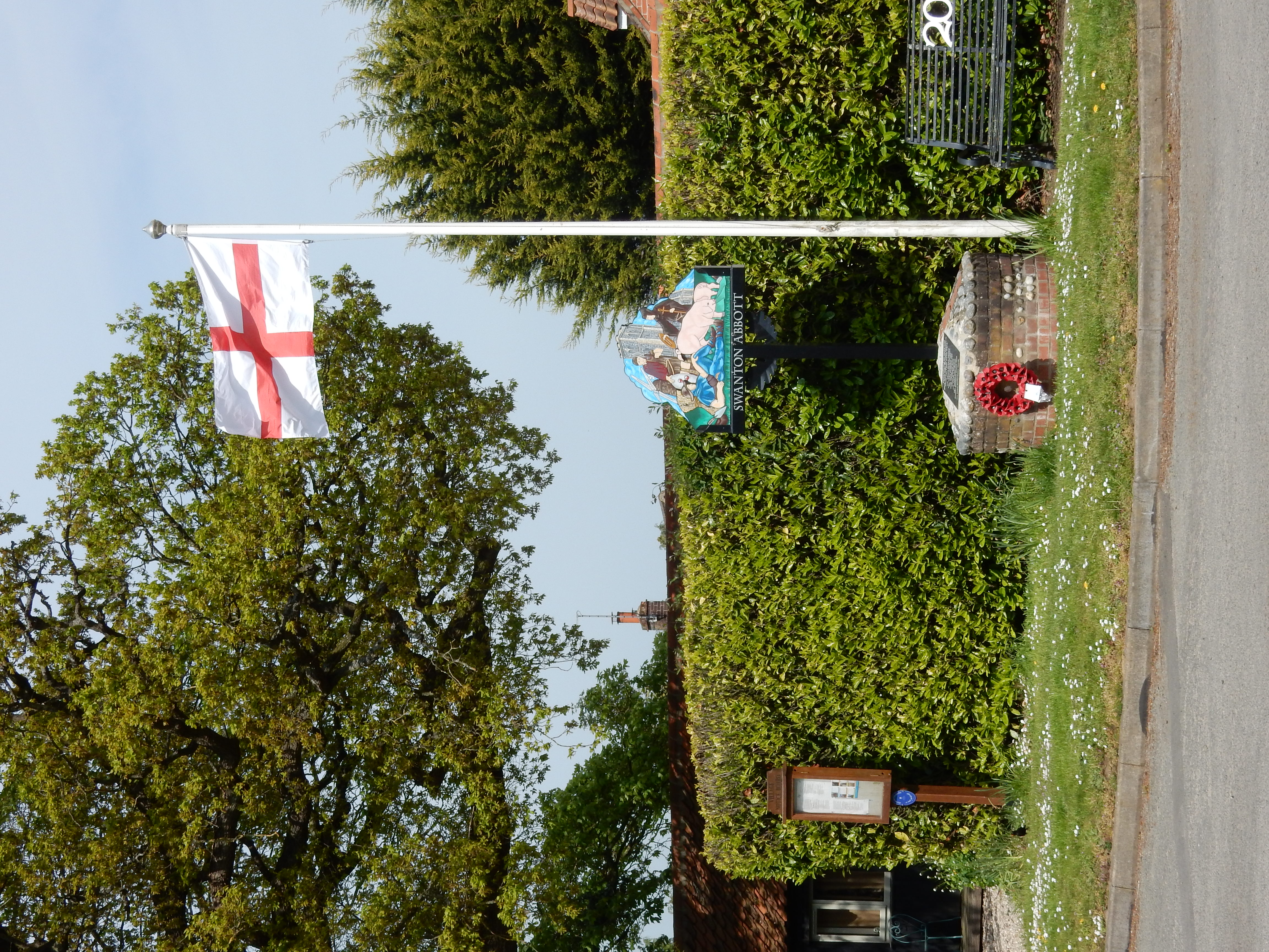
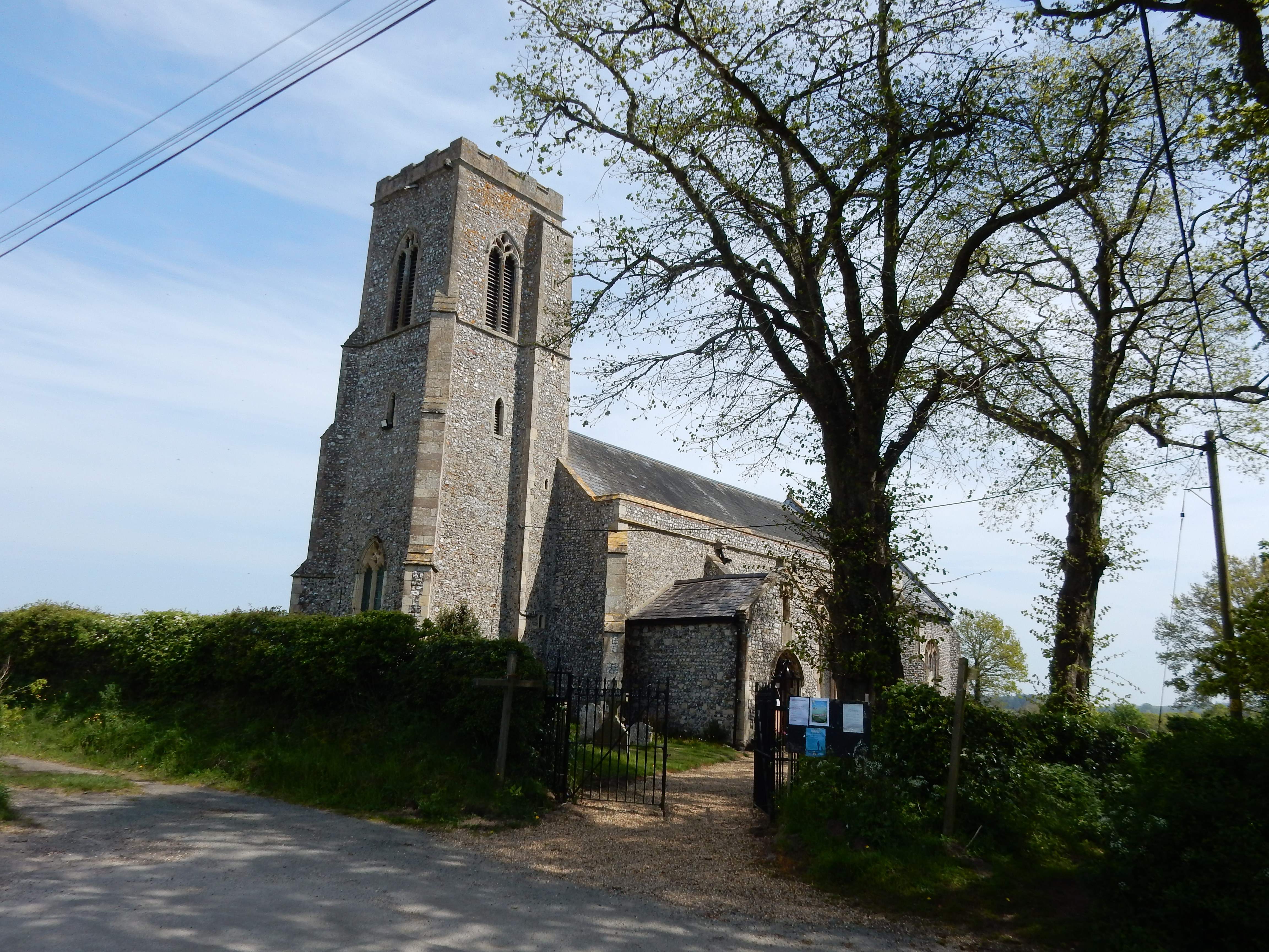
Eventually, the B1150 gets too much, and I resort to the fields along its western side. My transgression is to the disadvantage of no crop; nothing appears to have been sown. Anyway, if there is anything at Scottow then I have missed it by my diversion around the village. My distress is not beyond measure. Swanton Abbott, although larger, may not be on everyone's bucket list, either. It's too early for lunch at the Jolly Farmers. The church, St Michael's, is noted by Simon Knott for evidence seen there indicating the presence of bat urine. Perhaps I will not investigate today.
We know what happens to people who stay in the middle of the road. They get run over.
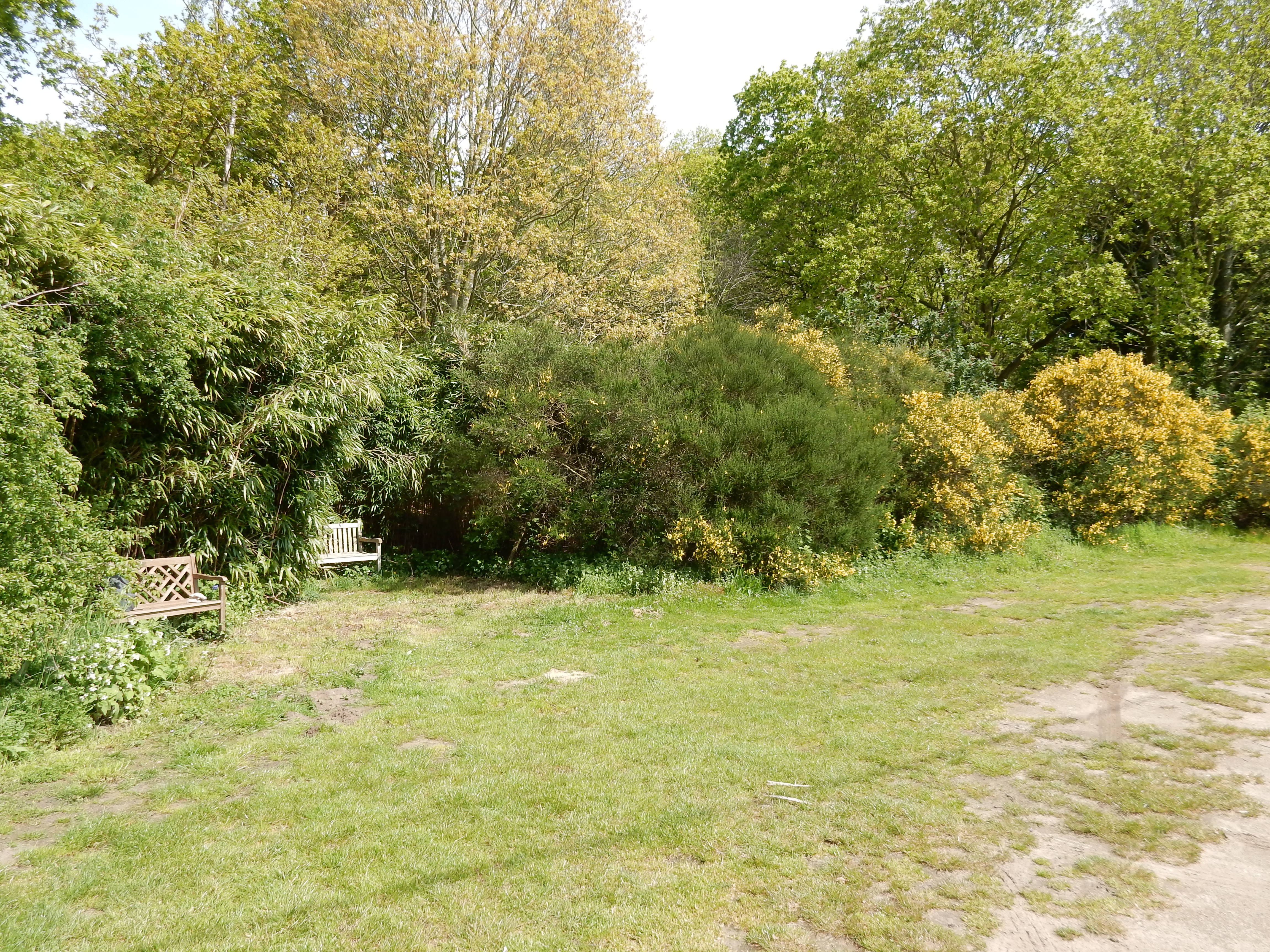
Just along from the church is
Swanton Hill. Although still not quite midday, I decide on lunch
here, as the provided seat is too good an opportunity to miss. I
was also rather keen to see if my twelve-layer cheese sarnie
would be as good as I hoped it would. Well, the verdict is in:
more work required 🧐
Had I earlier seen the
signage
ten yards yards to my left, then maybe I would have been
sitting less comfortably than I was. Best press on, I think.

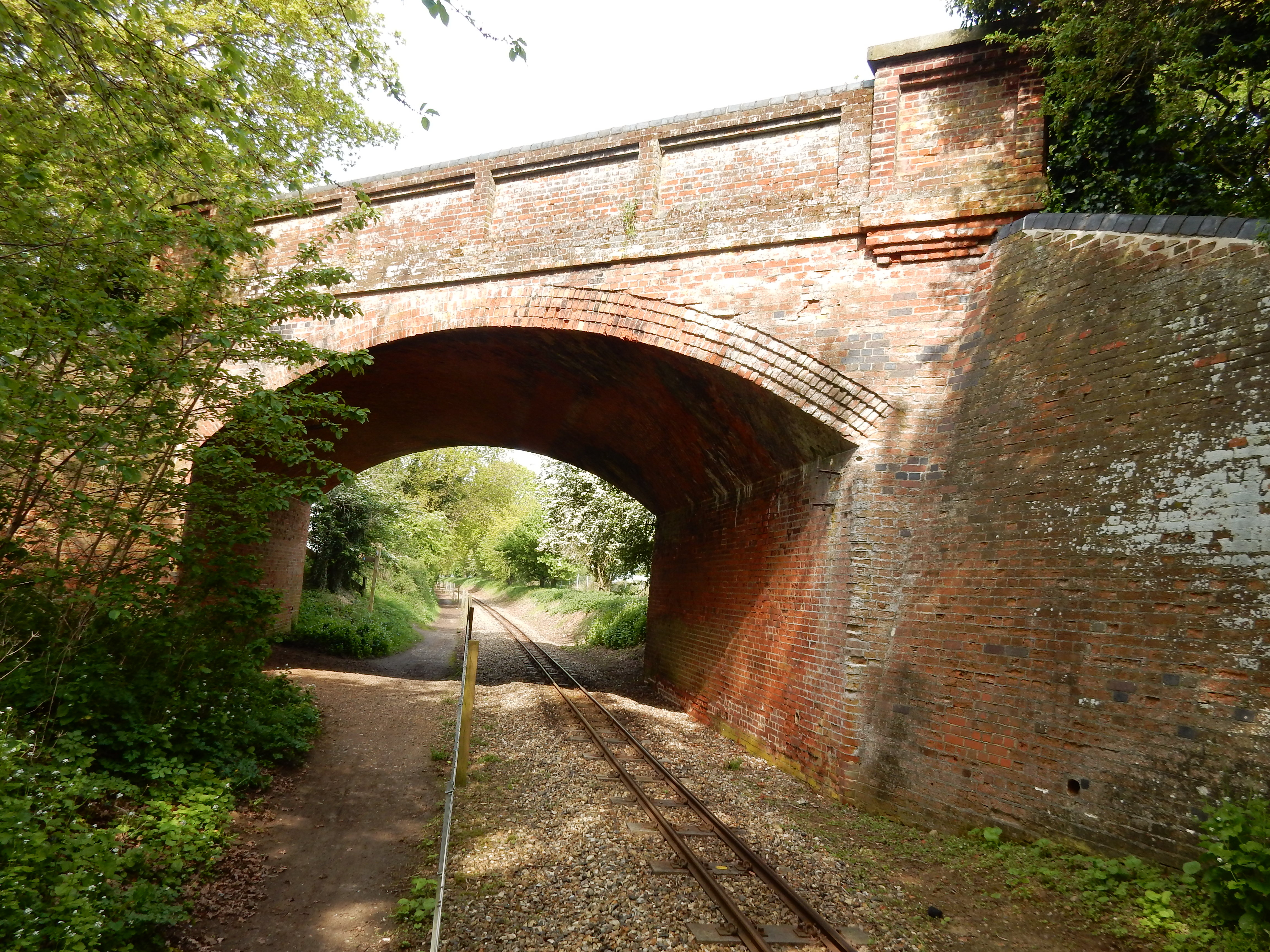
The walk up to Heath Farm is straightforward, and involves partially wooded terrain - encountered less on other sections. Sight of the rail bridge confuses me into thinking Gunton must be near. You may already have spotted the clues suggesting no operational mainline route is here. The bridge once carried the Melton Constable to Yarmouth line but is now part of the Weavers' Way long distance trail. A good choice, perhaps, for the Winter months?
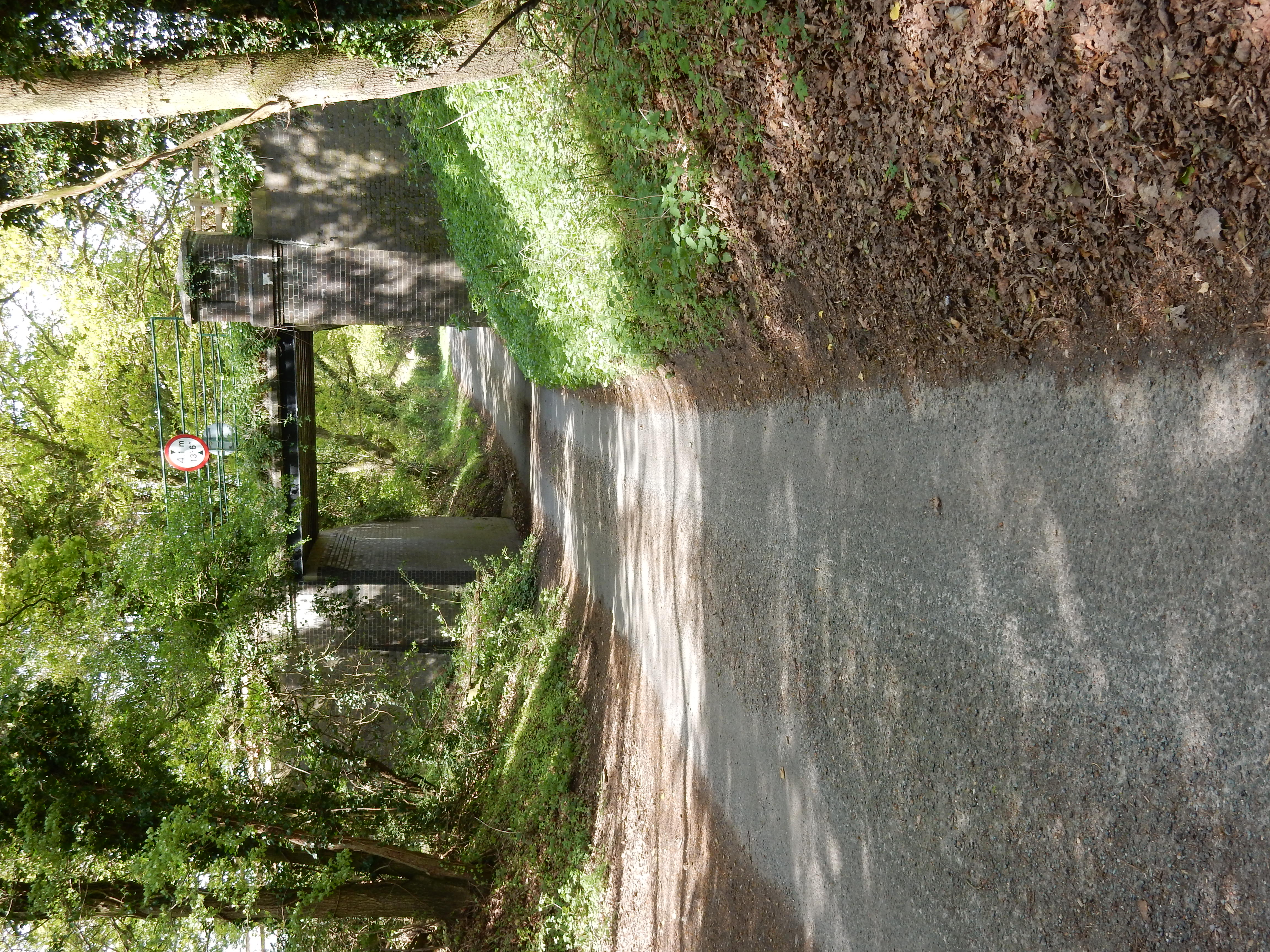
After Heath Farm is Bryant's Heath. The OS takes some very
indistinct minor routes across it, and only a very close eye on
the GPS enables me to see them at all. Next time, I will choose
the main crossing. My assumption, a priori, was that the
very short section of B1145 Aylsham Road would be no problem.
The OS makes the same mistake: heavy, fast traffic, narrow, NO
verge, and a
blind bend😰
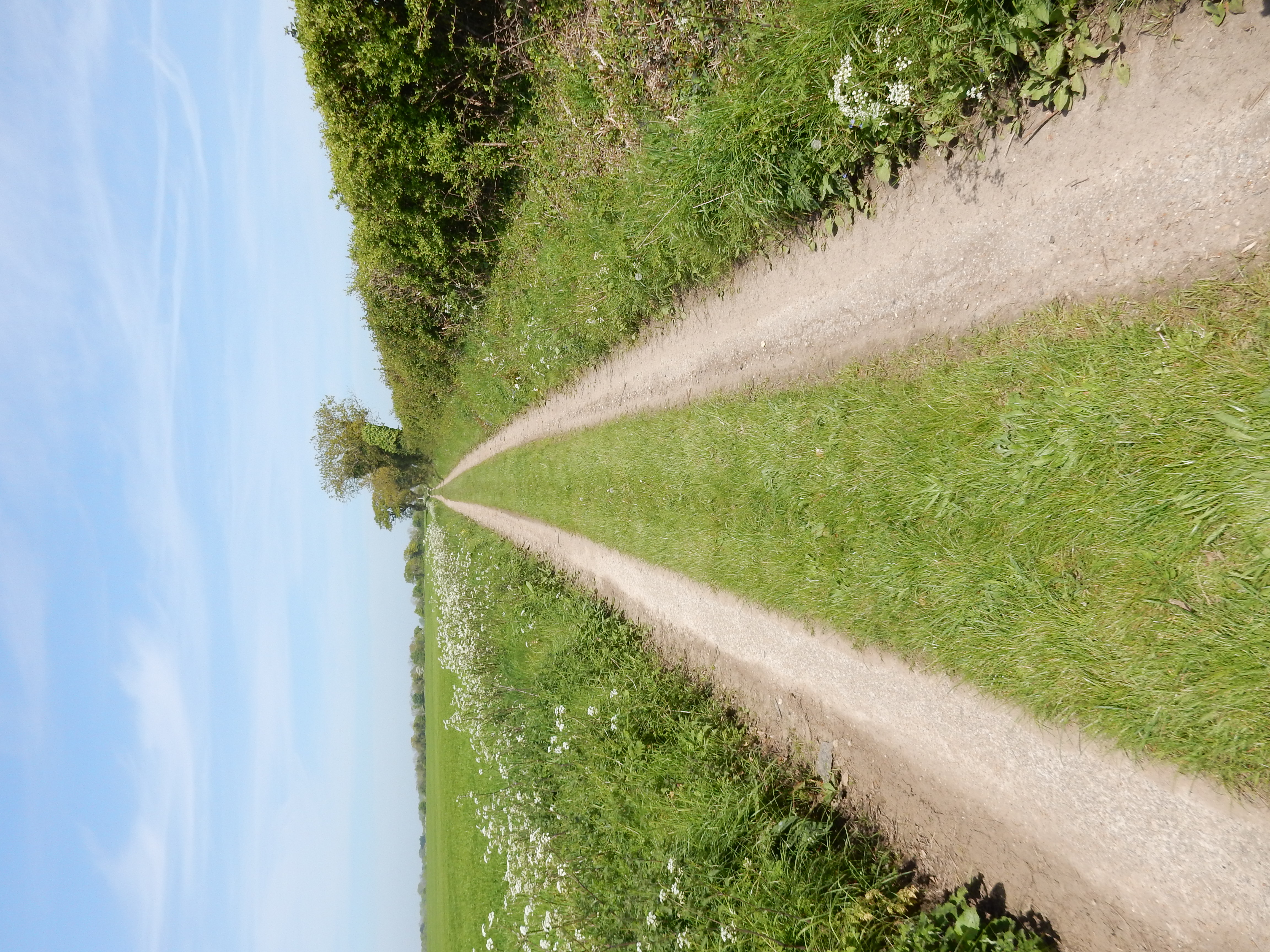
I live to tell the tale. Just. You enjoy[7] the next mile on a further in-road walk up
Bradmoor Road. It's always a good sign when grass grows down the
middle of a road, but this is the best I have have seen to date.
Note that, where you do see the road, you are looking at
asphalt. Wonderful 👍
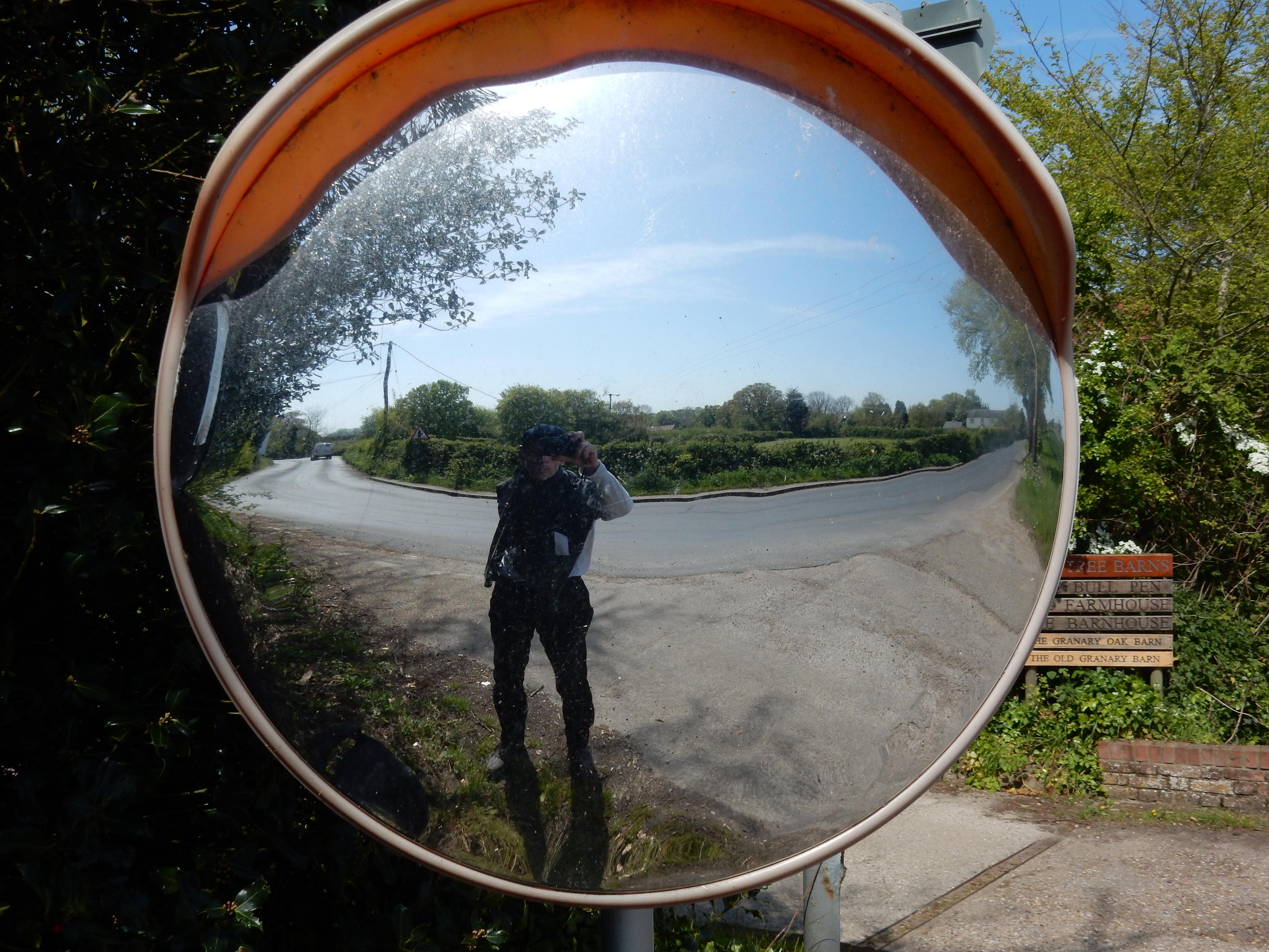
In short order there is another rail line to cross. This time it does indicate my proximity to Gunton station. The bad news is that it is still 2½ miles away, and most of that is in-road walking through Antingham. Well, cheer up, why not? The sun is still shining, and the traffic is about 1/100th that of the B1150[8] The Suffield Arms (right opposite the station) suggests a rewarding pint whilst I watch the sun sink over King's Lynn. Then I remember: I'm not getting the train back 'cos I drove here 🙄
