
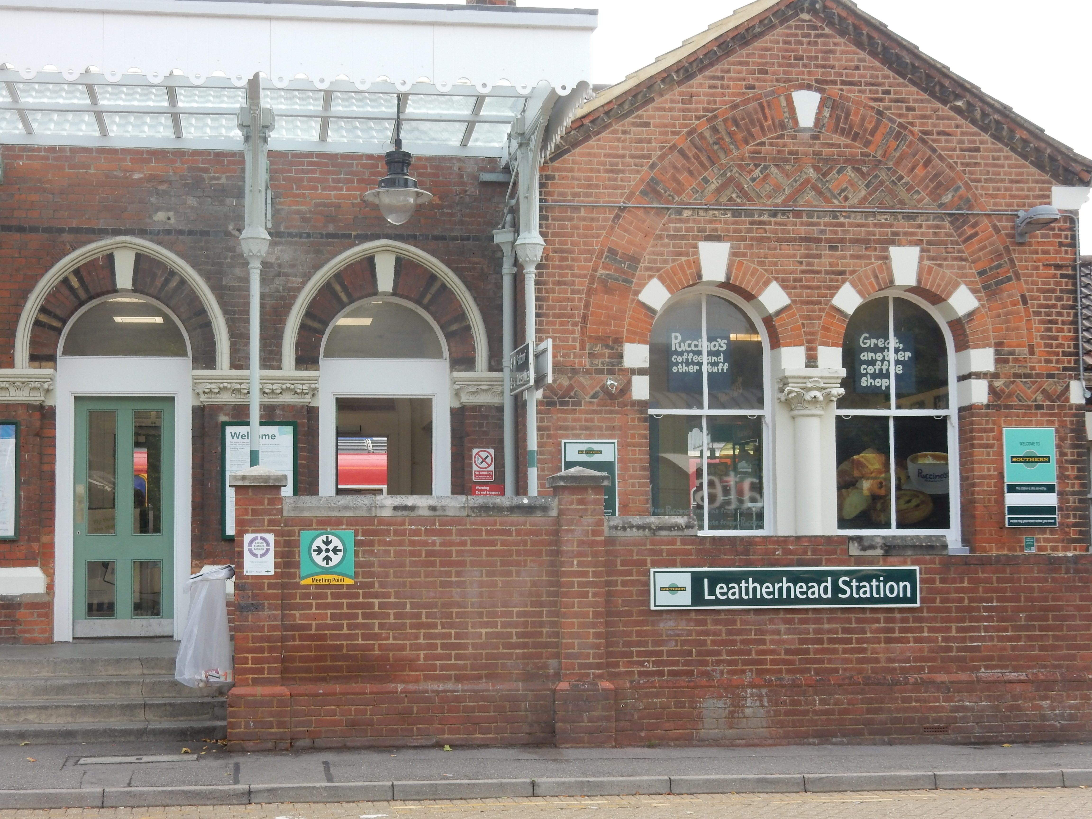
Parametric data
- Route name:
- Leatherhead
- Start point:
- Leatherhead.
- End point:
- Redhill.
- This route on OS maps:
- https://explore.osmaps.com/route/19602666/ ...
- Distance:
- 11.4 miles walked, 8.4 miles flown.
- Duration :
- 4.8 hours.[1]
- Duration :
- 4.9 hours.[1]
- Ascent:
- 428 metres.
- Stiles:
- 0 (zero).
- Landmark of note:
- Leatherhead Church. Burial place of Alfred Inigo Suckling Baron, 1863–1922. Related to Inigo Jones ... and yours truly.
- Feasible excursion:
- Lots of route variants, mainly to the north of this one. See text.
- Waypoints:
- Fairfield, Downside, Leatherhead Downs, Headley, Headley Heath, Headley Grove, Walton, Buckland Hills, Juniper Hill, Colley Hill, Reigate Hill, Quarry Hill, Gatton.
- Refreshments:
- Coffee and takeaway lunch from Dorking Station.
Weather:-
 11°C,[2] ☁️ For
December, not bad. Recent rain left everything very damp.
11°C,[2] ☁️ For
December, not bad. Recent rain left everything very damp.
-
Avoiding roads: -
 You could save ⅓ mile in exchange for your life by
walking the B2023 below Nower Wood. Watch out crossing the
A24.
You could save ⅓ mile in exchange for your life by
walking the B2023 below Nower Wood. Watch out crossing the
A24.
-
Footpath construction: -
 From the A24 until Reigate, there isn't much but dirt.
-
Footpath condition: -
 It had been raining for weeks. Banstead Heath was appalling.
The descent of NT Reigate Hill without a broken neck was
miraculous.
It had been raining for weeks. Banstead Heath was appalling.
The descent of NT Reigate Hill without a broken neck was
miraculous.
-
Vistas: -
Reigate Hill is rarely good looking south late on a damp
winter's afternoon.
Blackberries:-
Well over by this date.[3]
Route map.
Walk notes.
I have to begin the notes for this walk by requesting forbearance from you, my fellow treader of the trackways. Despite having made two attempts at planning a walk from Leatherhead to Redhill, I am obliged to investigate a third route, and I currently await an opportunity so to do. The maps you see here at the moment are what I hope to do in future, rather than the normal record of anything already attempted. The trouble is that no route I can find quite ticks all the boxes. Permit me a grumble about it.
The first route took a more northerly line, passing Headley church, hugging the M25 nearly all the way. It made, in fact, no less than four crossings of Madness Motorway. It seemed (and certainly sounded) rather daft, even if fairly straightforward navigationally. Turn left (eastward) at the SP toward Headley. A convoluted route through Walton on the Hill takes you onto the first hole of the golf course where the (indistinct) public way runs along the left. Hope that no player is too troubled by hook shots. There is no SP where you leave the course at its north-east corner.
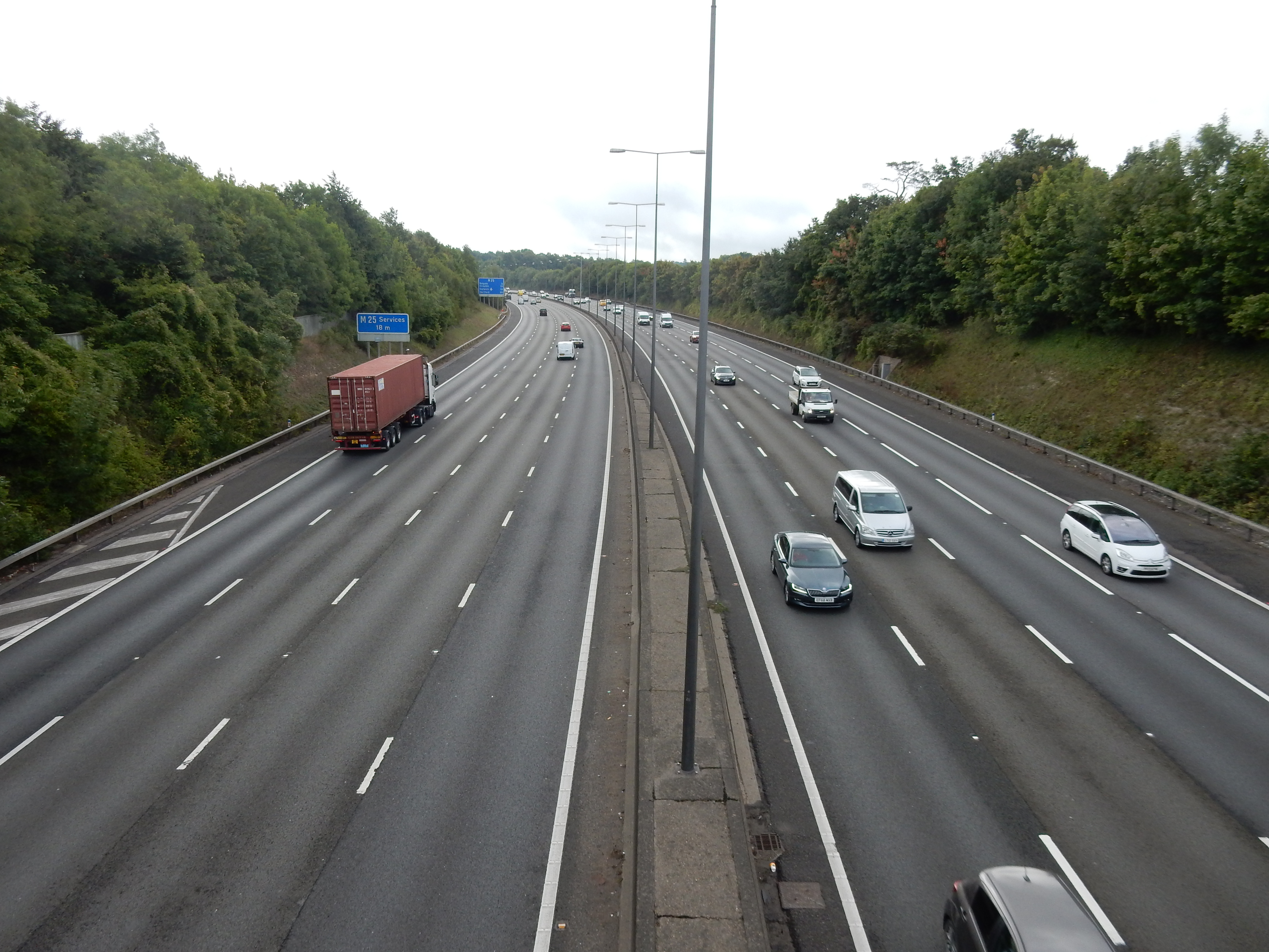
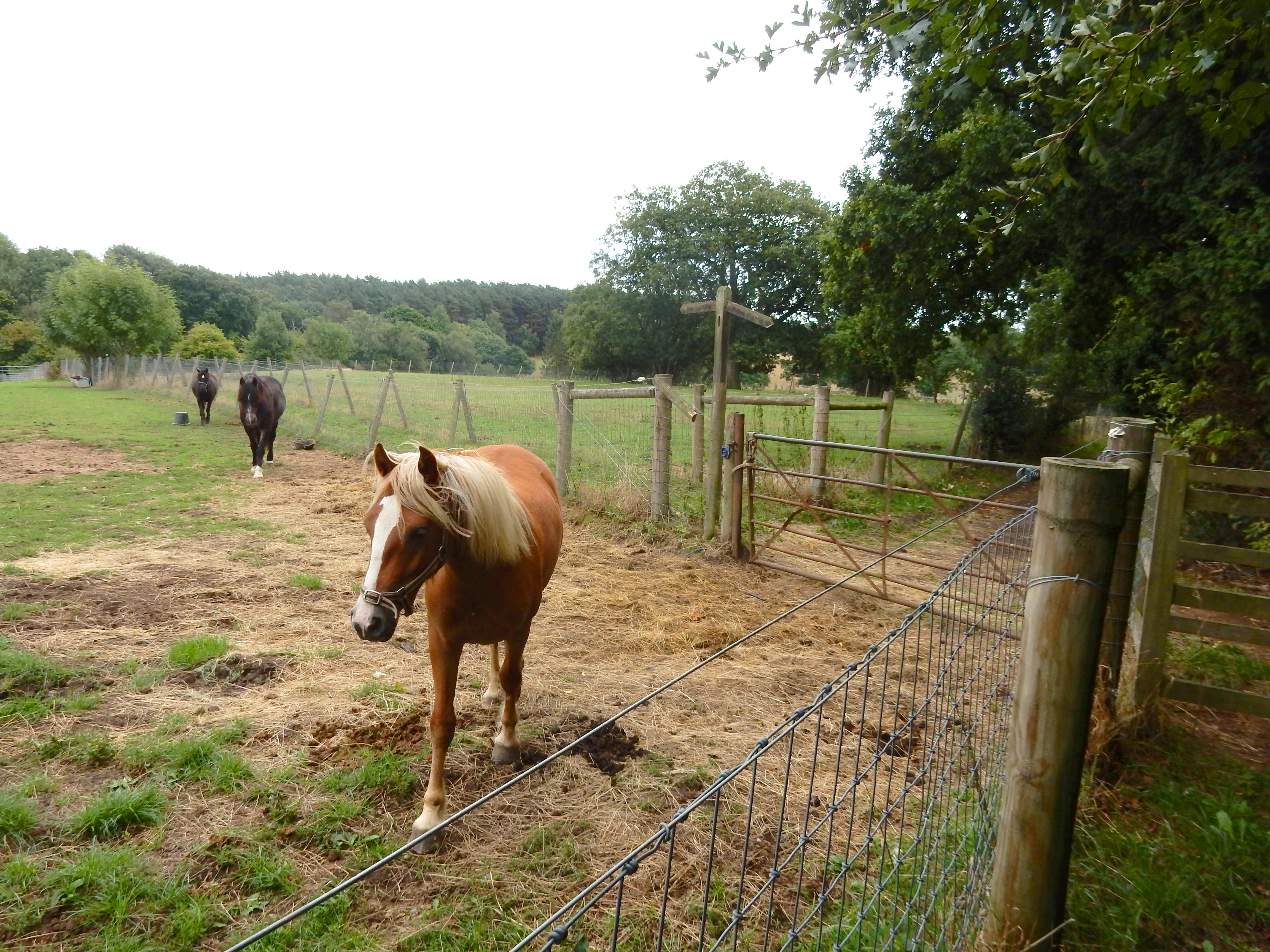
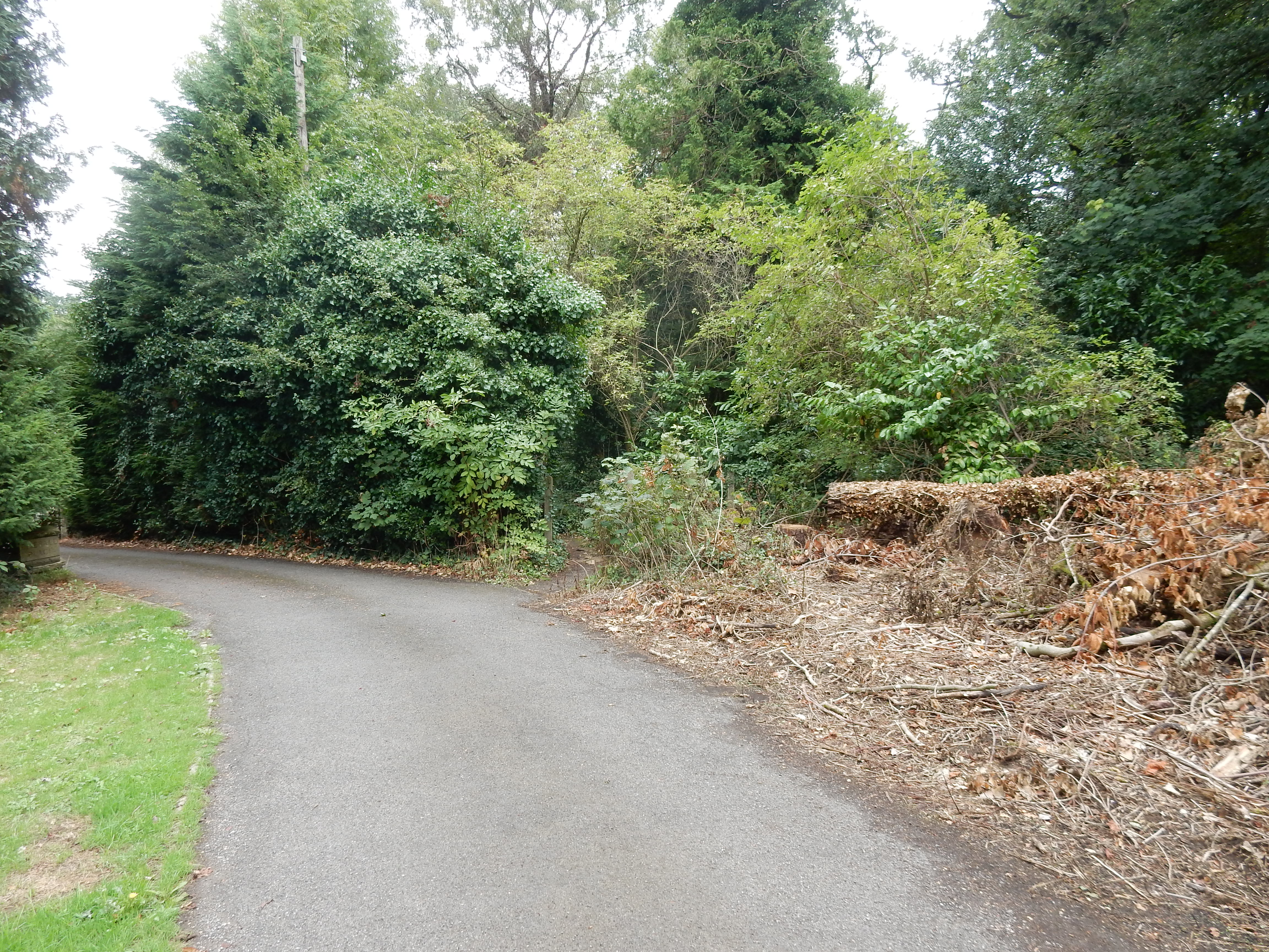
Refuel at the kiosk near J8, if wind and rain favour it. Cross Wray Lane and you're then into the National Trust section of Gatton. During winter months, however, you really want to avoid the North Downs Way through Gatton; its a mudbath. Along the top of Colley Hill some stretches are, unaccountably, more under water than above. In 2022 my footwear was unsuited to the job.
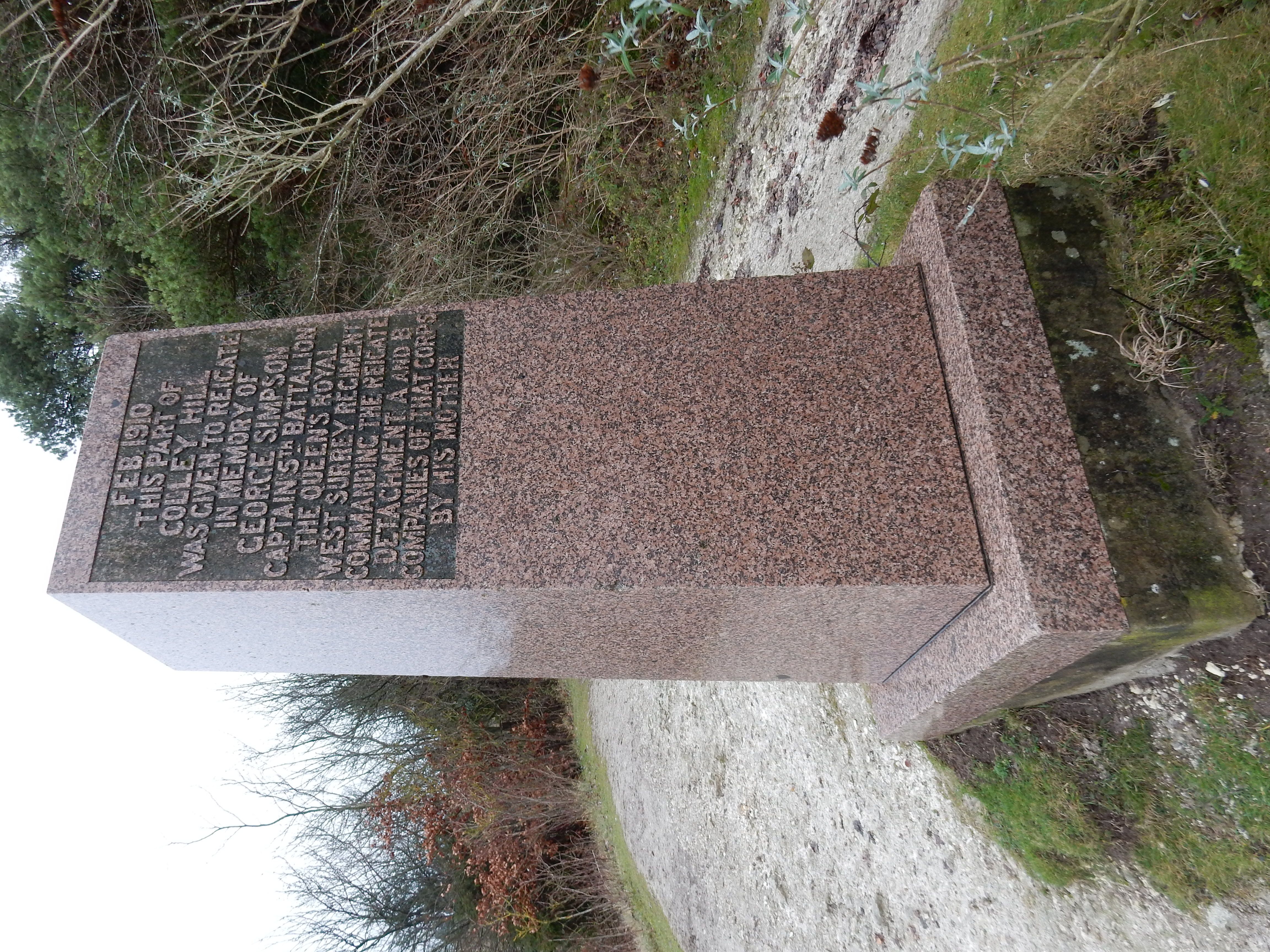
The second route should have adhered to the alleged Pilgrim's Way as it snakes along the bottom of the Downs. Unhappily, I set it up at the OS with beginning and end points swapped. It proved unuseable in that state. I had to fall back on memory and the old Google Maps route. Speaking of falls, I managed to descend Reigate Hill by the route past the Simpson memorial; quite possibly for the first time, but almost certainly for the last. The chalk at this time of the year is very slippery and, in places, a most formidable DAB. Banstead Heath? A total quagmire.
These earlier routes were, more or less, what the OS planner came up with. My presumption that I could improve on it now appears ill-founded. Noting that most of the route between the endpoint towns is over NT 'access land' you might think it easy. Unfortunately, there are flies in the navigational ointment.
All these aquisitions of land by the NT are linked by what might, in other parts of Britain, be considered back roads. This, however, is Surrey; and appearance only serves to deceive. Here, such byways invariably function as test tracks for high performance saloon cars. Woe betide the rambler attempting to walk these avenues of doom. There is very rarely a footway. Often, even a verge is lacking, replaced by hedges on both sides, extending right over the tarmac. You have nowhere to run. Take, for example, the B2033 on the southern edge of Nower Wood, from where it is crossed by Langley Lane, until the other end at Lodgebottom Road. The OS is convinced that this is where you want to walk. No amount of added 'waypoints' can persuade it to forego this stretch in favour of Langley Lane. Well, I know better. The additional ⅓ mile of Porche-free footpath is the better option any day.
Think you can divert through the fields over the hedge? Ah uh. The Headley Warren Nature Reserve (not to be confused with the Headley Downs Nature Reserve in Hampshire) is not easy to discover much about, but its priorities seem not to include the easy transit of the long distance rambler. This standpoint is shared by golf courses (to where the Porche is rushing). Well, on it goes.
My proposed third way aims to stay south of the M25 but north of Betchworth and the A25. If, meanwhile, you fancy a reconnoitre then let me know. Here, pro tem, is the route 1 summary -
Like most of my routes this starts and finishes on tarmac. Leatherhead town centre seemed without too many points of interest. The suburbs ditto. On reaching the A24 you begin to hear the M25 - crossed a total of four times on this walk. It's in earshot for most of the route. If you get lost then just head toward the roar
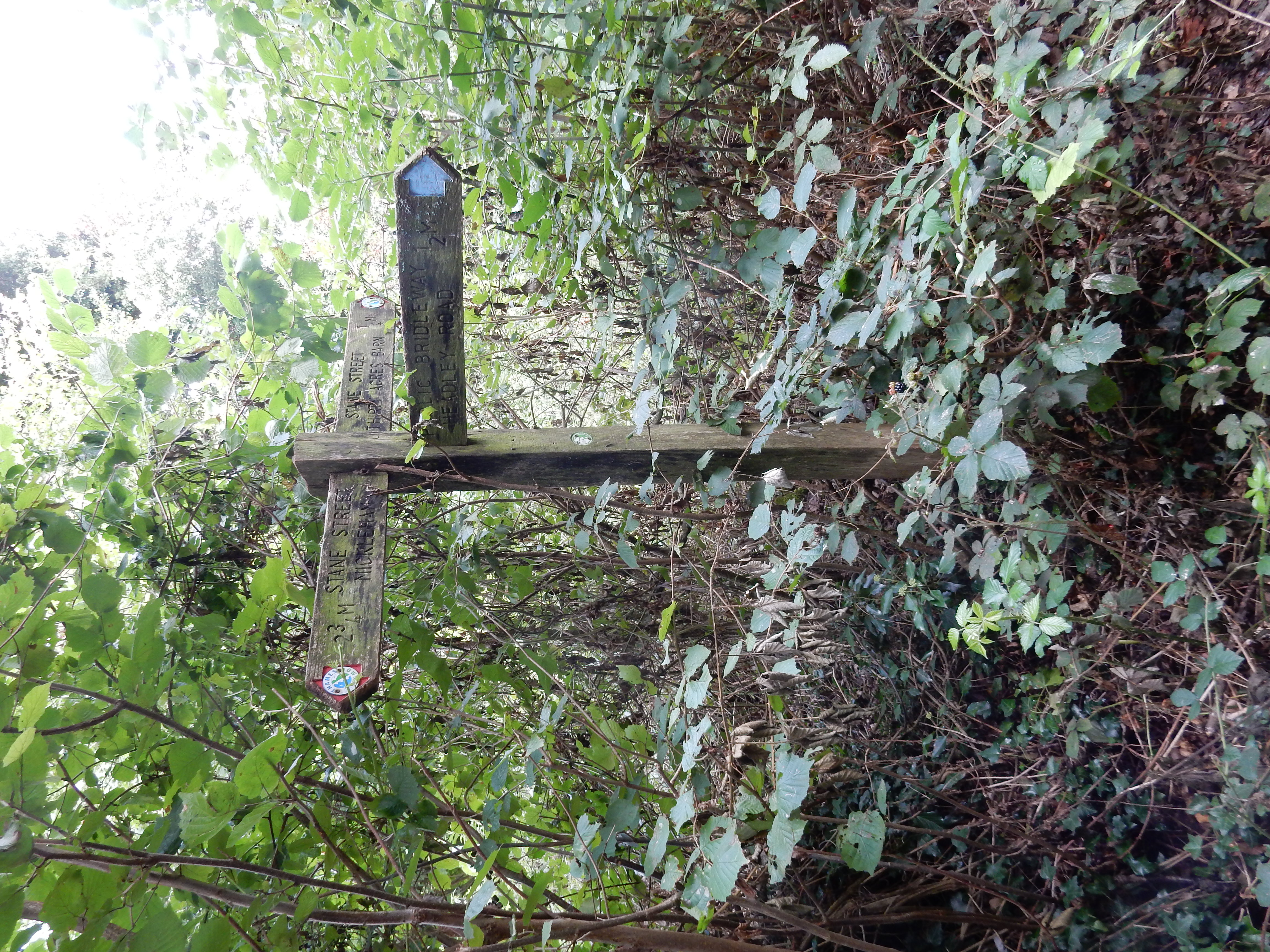
The bridleway up to Stane Street is wide and dry, but from there to Headley Road is much worse. The going through Headley Park is sandy and therefore drier. Hurst Lane is without a footway but the traffic is light and there is a verge of sorts.
Shortly after you pass Headley church turn left (to the east) at the SP. Winter rains have washed away much of the asphalt once surfacing the path through the wood. Ho hum. Under the M25 again and then past the bike trail at Headley Heath. What an enhancement to the landscape.
A convoluted route through Walton on the Hill takes you onto the first hole of the golf course where the (indistinct) public way runs along the left. Hope that no player is too troubled by hook shots. There is no SP where you leave the course at its north-east corner.
The next two miles take you in a nearly straight line across the B2032, Banstead Heath and Lower Kingswood onto Margery Lane. The northbound carriageway of the A217 is easy to cross if you wait for red lights at the M25 Junction 8 intersection. However, the southbound is a lot less fun.
Refuel at the kiosk near J8, if wind and rain favour it. Cross Wray Lane and you're then into the National Trust section of Gatton. Keep an eye on the GPS through Nut Wood. Keep a closer eye on tree roots down the steep section near the top. Heritage Lottery funded, it may be, but proper steps here weren't the priority. Take a mid-section right fork along a slightly longer path if you prefer a gentler gradient.