Parametric data
- Route name:
- Knetishall
- Start point:
- Knettishall, also shown on ///what3words.
- End point:
- Watton, also shown on ///what3words.
- This route on OS maps:
- https://explore.osmaps.com/route/23318351/ ...
- OS Explorer sheet ref(s):
- 230 and 237.
- Distance:
- 14.3 miles walked, 11.8 miles flown.
- :
- 5.7 hours.[1]
- Ascent:
- 128 metres. (This is Norfolk 😀)
- Stiles:
- 0 (zero).
- Landmark of note:
- The obelisk near Tottington.
- Feasible excursion:
- Little Cressingham is the usual terminus for Section #1 of the Peddars Way, and is right on the route. However, it has little public parking, so I went to Watton instead. That, though, is two miles out of the way. I really did not relish such an extension to the walk.
- Waypoints:
- Shadwell, Brettenham, Bridgham, Roudham, Stonebridge, Tottington, Merton.
- Refreshments:
- Packed lunch at Brettenham Heath. Looks a good spot, but was exposed and still pretty damp.
-
: -
 13°C,[2] 🌦️
An inaccurate forecast, combined with logistics difficulties
results in the wettest walk yet endured. It's a penalty you
pay sometimes for an outdoor activity.
13°C,[2] 🌦️
An inaccurate forecast, combined with logistics difficulties
results in the wettest walk yet endured. It's a penalty you
pay sometimes for an outdoor activity.
-
Avoiding roads: -
 Only the off-route detour to reach the car triggers this
rating. For the most part, there was so little traffic about
that no concerns were warranted. However the final 200
metres along the A1075 were not at all good.
Only the off-route detour to reach the car triggers this
rating. For the most part, there was so little traffic about
that no concerns were warranted. However the final 200
metres along the A1075 were not at all good.
-
Footpath construction: -
 There's lots of good
BLA, and even tarmac, but there is dirt aplenty.
There's lots of good
BLA, and even tarmac, but there is dirt aplenty.
-
Footpath condition: -
 The morning's rain had left some big puddles. Some of them
went right across the path. Deeper into winter, and it
would be a concern.
The morning's rain had left some big puddles. Some of them
went right across the path. Deeper into winter, and it
would be a concern.
-
Vistas: -
This is Norfolk.
Blackberries:-
 Here and there were a few late ones. In July it might be
worth
foraging.[3]
Here and there were a few late ones. In July it might be
worth
foraging.[3]
Route map.
Walk notes.
is the first on which I have walked any of the Peddars Way long distance footpath. My initial aim is to complete the first twelve miles from the start at Knettishall Heath, just within Suffolk, northwards to within 1½ miles of the town of Watton in Norfolk. The canonical first leg runs to nearby Little Cressingham, but transport there is negligible.[4] No rail station, no bus stop, no car park. At least Watton has free car parking. In August I completed the North Downs Way across Surrey and Kent; and that had rail access to all but one of its thirteen sections. Until 1964, Watton had a rail station. I probably need not tell you how Watton (and a dozen other towns in Norfolk) came to loose their station, but the county's rail service never grew to the extent enjoyed by Surrey and Kent. The walk today crosses this disused line.
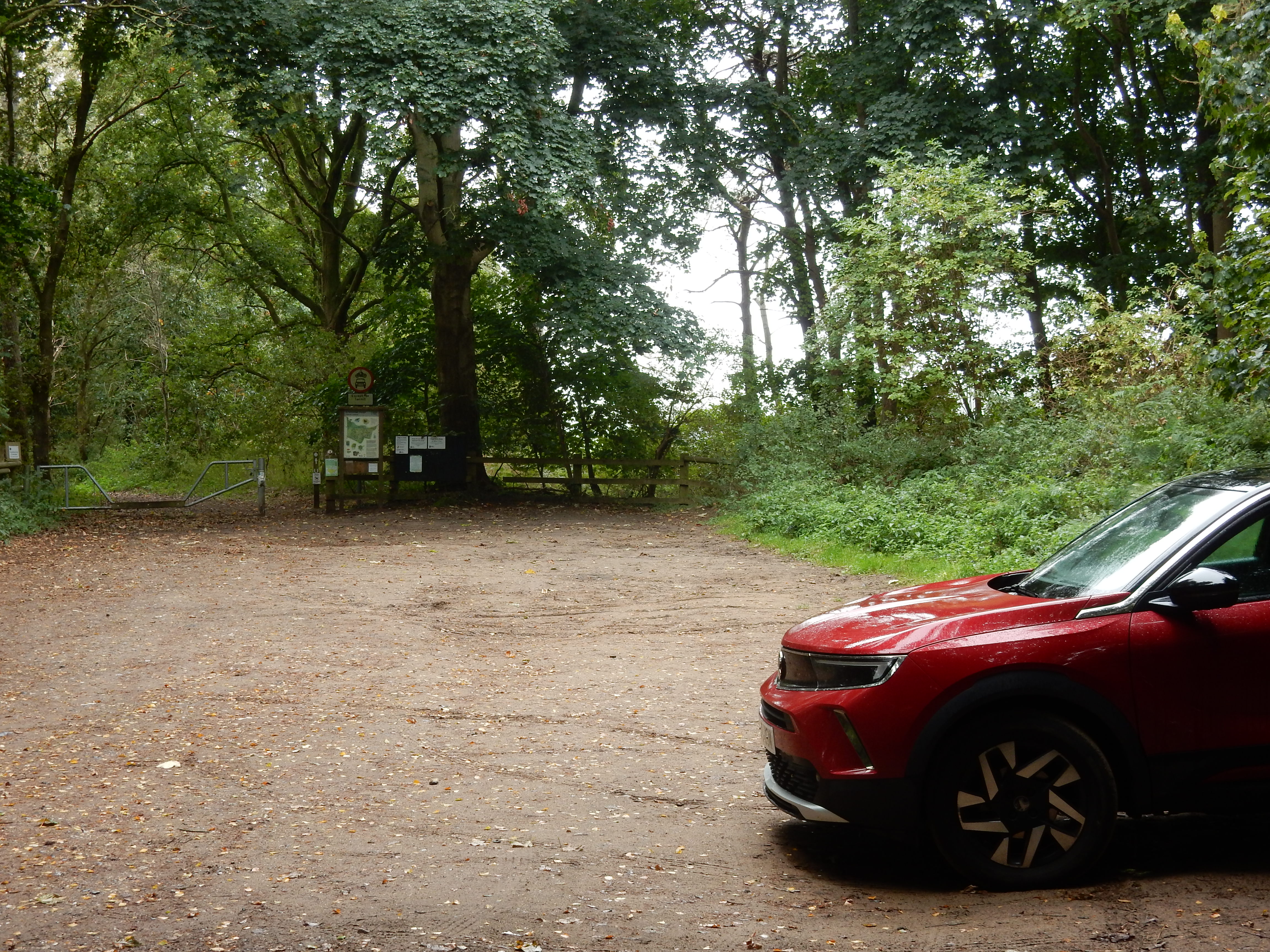
Wikipedia is untroubled by these quibles, and claims that Knettishall is reachable from Harling Road. That is a six mile walk, and will discourage many wanting to begin the Peddars Way. What are we left with then? A drive to Watton and then a taxi to Knettishall. I check the forecast on Tuesday night: zero % chance of rain. Great. I book the taxi. On the Wednesday morning, 0% is beating heavily against the windows. I'm begining to think this wasn't such a good idea.
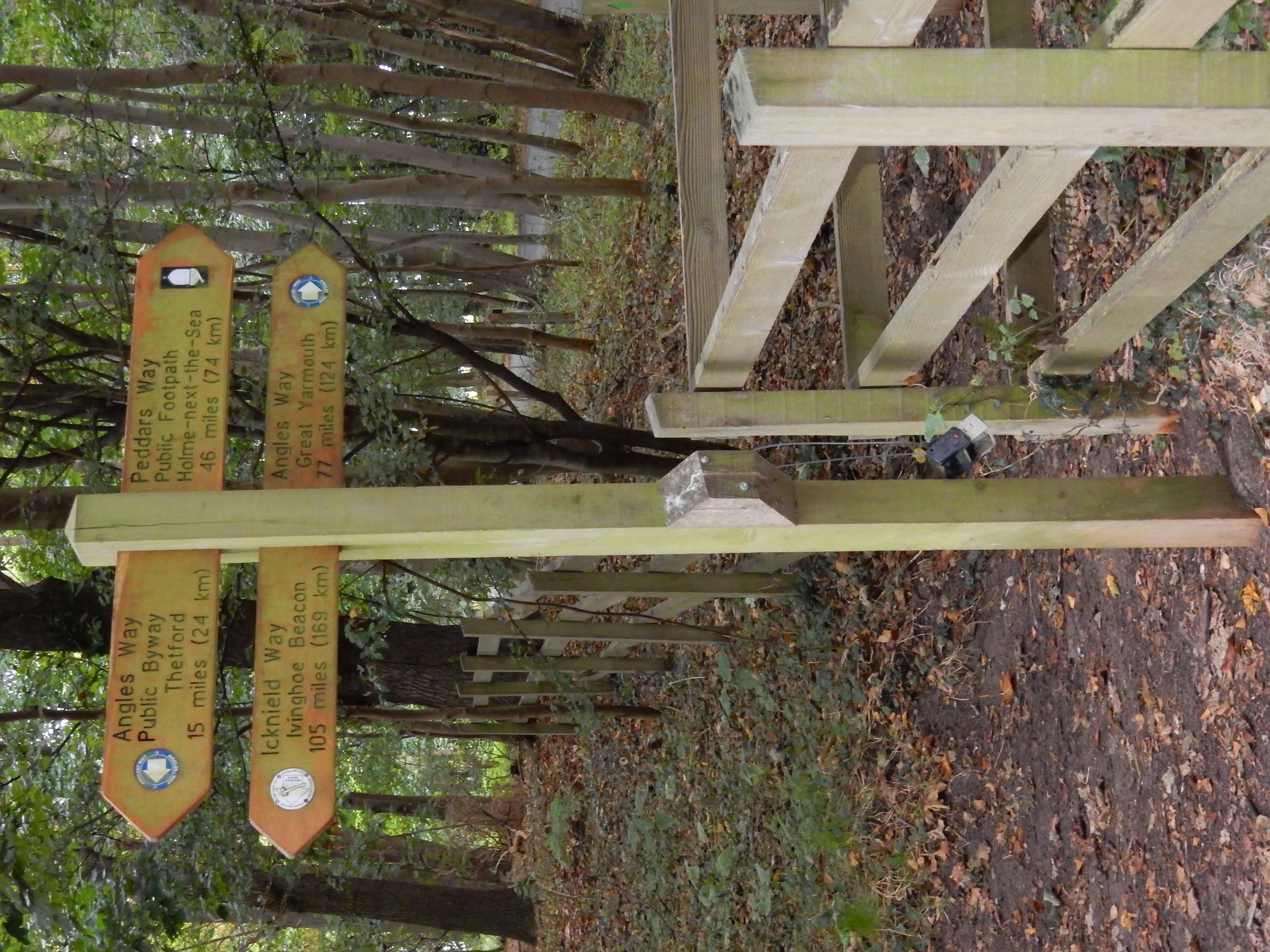
Oh, well, brolly up. Let's start this walk. Well, I start walking, but not the Peddars Way because the taxi deposits me at the car park by Knettishall Road rather than the one ¾ mile to the west.[5] My trudge across to the real PW start point is observed only by the four legged population of the Heath. To a fetlock it is incredulous that the bipeds wish to be out in this kind of weather purely for recreational purposes. For the avoidance of further confusion, this would be a good time to point out that, where the PW starts, is also the end point of the Icknield Way Path; a trail that begins 110 miles south west at Ivinghoe Beacon.
A few days ago Charles Cocking, gentleman, coroner, of the liberty of his Grace the Duke of Norfolk, within the county of Suffolk took an inquisition at Bungay, on the body of Richard Edgens a servant-man to Mr. William Clarke, a common brewer, who laid himself down to sleep, near the side of the copper which was then boiling with small beer, and accidentally fell into the boiling wort, and was so violently scalded that he lived only about twelve hours.
At one time, the Angles Way ran only as far as Knettishall, but is now decreed to continue into Thetford. ⅔ mile, in the opposite direction, the Angles skirts around Riddlesworth Hall. Until 2023 this was run as a school. What could you have taught there to the (then) Diana Spencer concerning what her future might hold? In the ¢18 Riddlesworth was home to some members of the Wake family, whose daughter, Mary, married William Clarke,[6] in whose employment trouble brewed also with fatal consequences. Richard Edgens probably thought he had a dream job at the brewery in Bungay, but his death instigated no improvement to Health and Safety within brewing or, apparently, to those holding wakes.
The first ½ mile of the Peddars Way is through woodland
insufficiently thick to keep all the rain off me. OTOH, with
my umbrella deployed, overgrowing branches continually
snag it. All that, however, is in Suffolk. Crossing the
footbridge
into
Norfolk,[7] where the sun always shines into wide open
spaces, ends the problem 🤥
A still-less credible claim is made here by the OS route
planning app. It shows, for 200 metres before the bridge, a
viable footpath runs along the county boundary, viz the bed of
the river
Little Ouse. My neglect of waterproof attire this morning intensifies
my disinclination to follow the OS into any Ouse 🤿
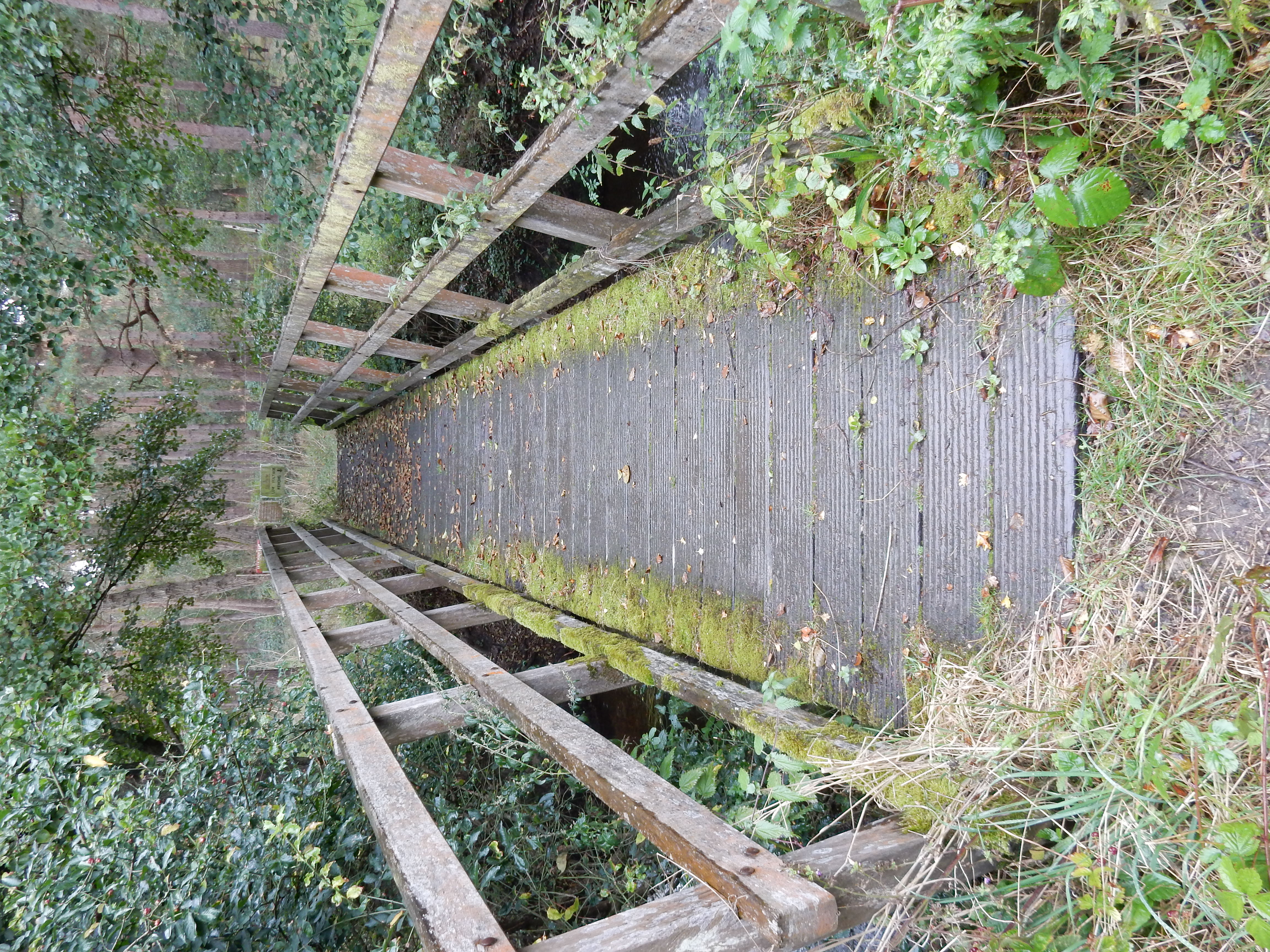
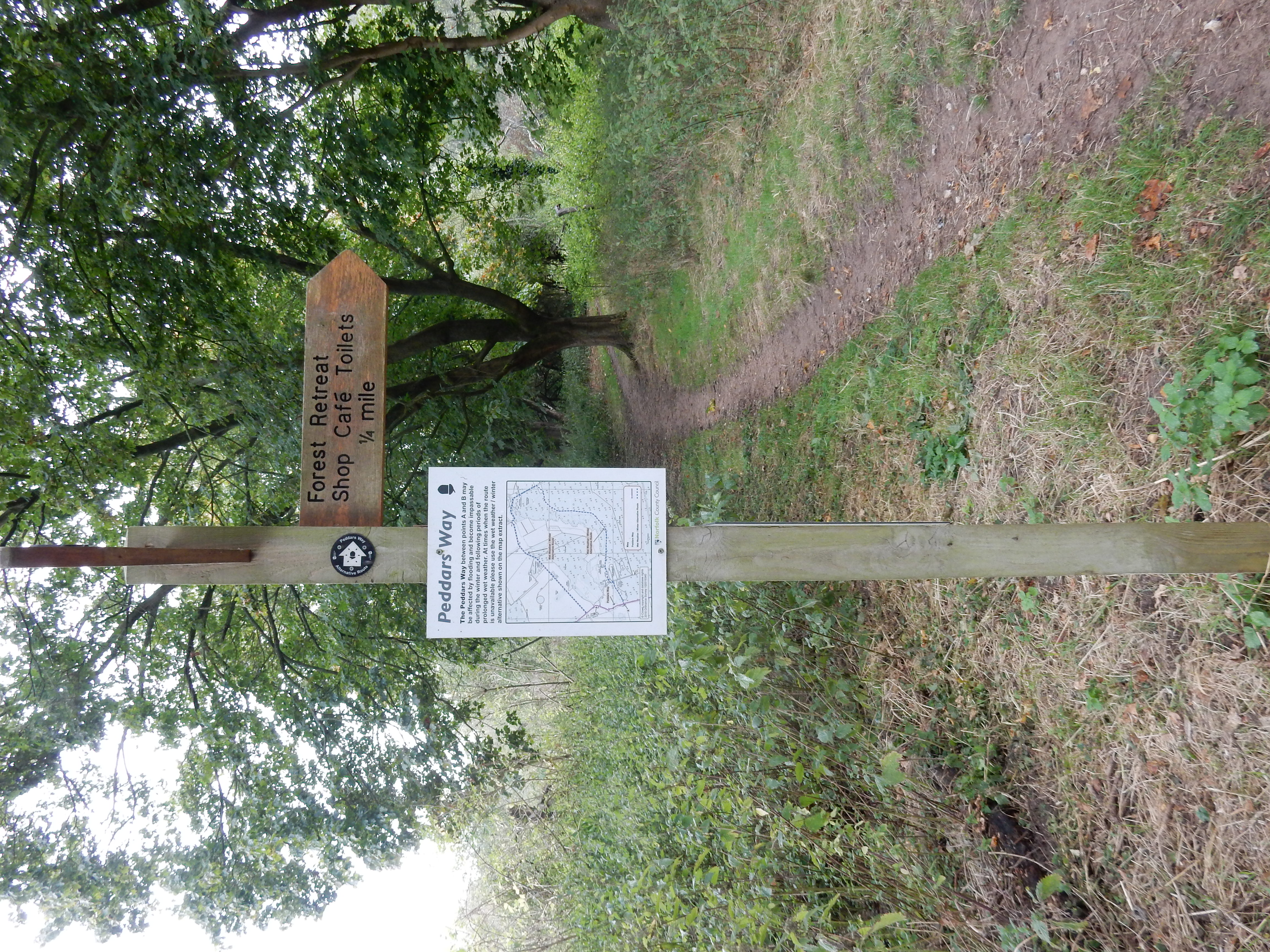
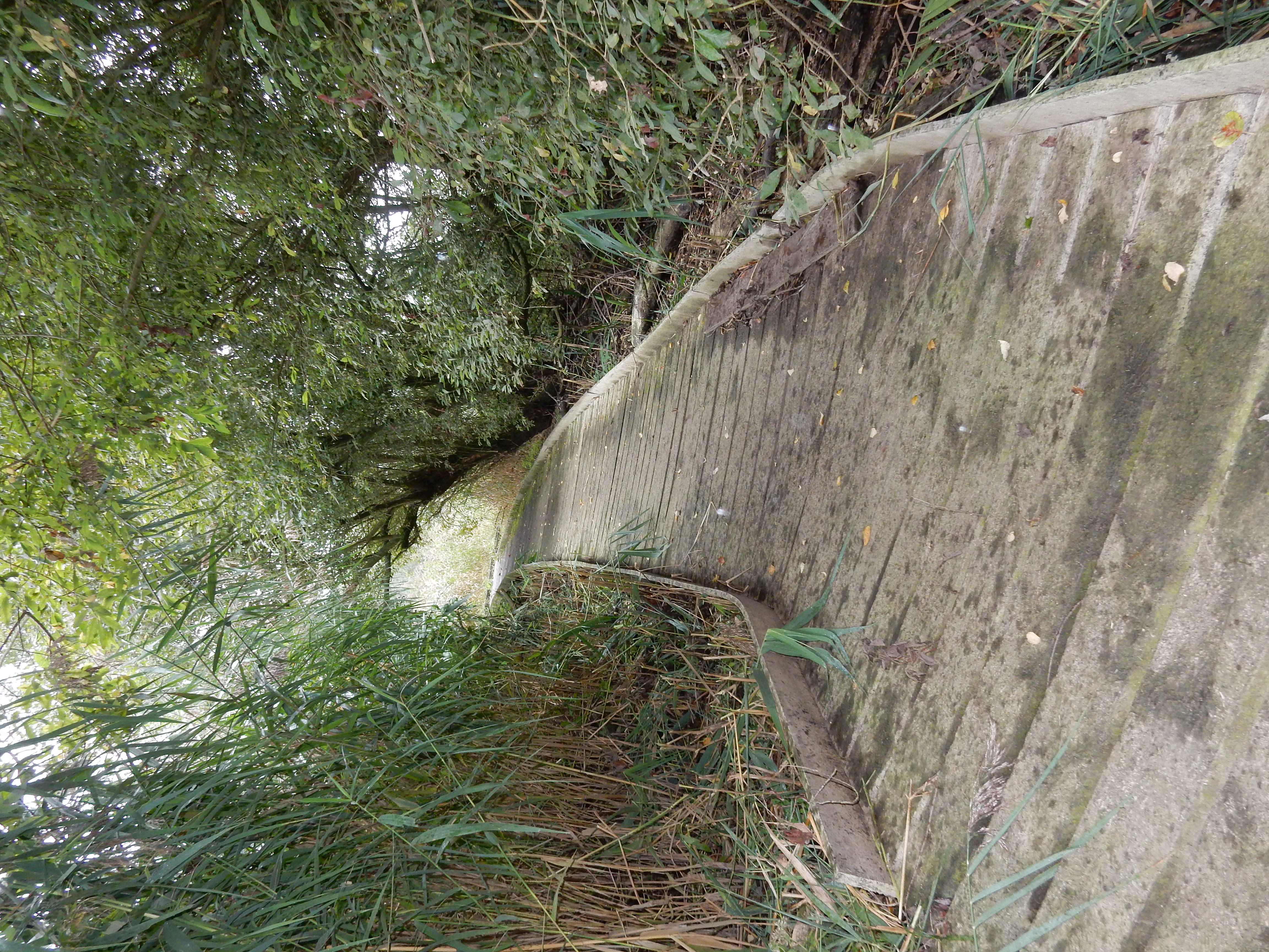
Having safely crossed the A1066,[8] I discover another obstacle to my completion of this walk has been fabricated by the same imps forecasting the weather, drawing maps and driving taxis. Perhaps they expect me to divert eastwards to their cafe. I am here informed that is my only alternative to being swept away in the River Thet. As if to reinforce their point, the next ⅓ mile of the PW goes over duckboards. If you believe this countermeasure to be extreme then consider that the suggested diversion adds nearly three miles to the walk. I decline it, and take my chances against the current; holding my brolly in reserve as a makeshift coracle. Loose duckboards make good paddles. My impromptu navigation of the Thet is soon rewarded by glimpses of the footbridge emerging from the downpour and deluge. No coroner's inquest on me today.[9]
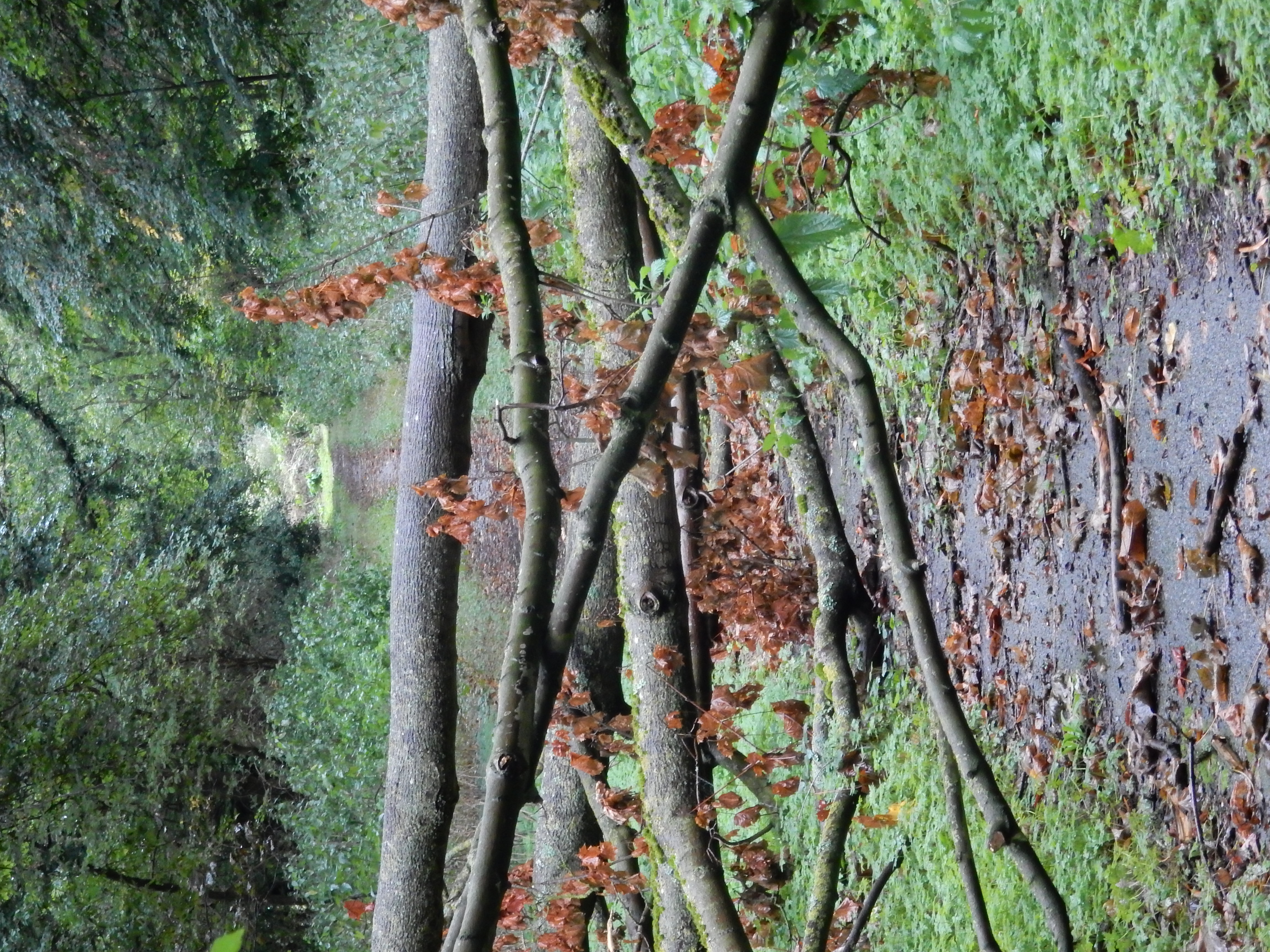

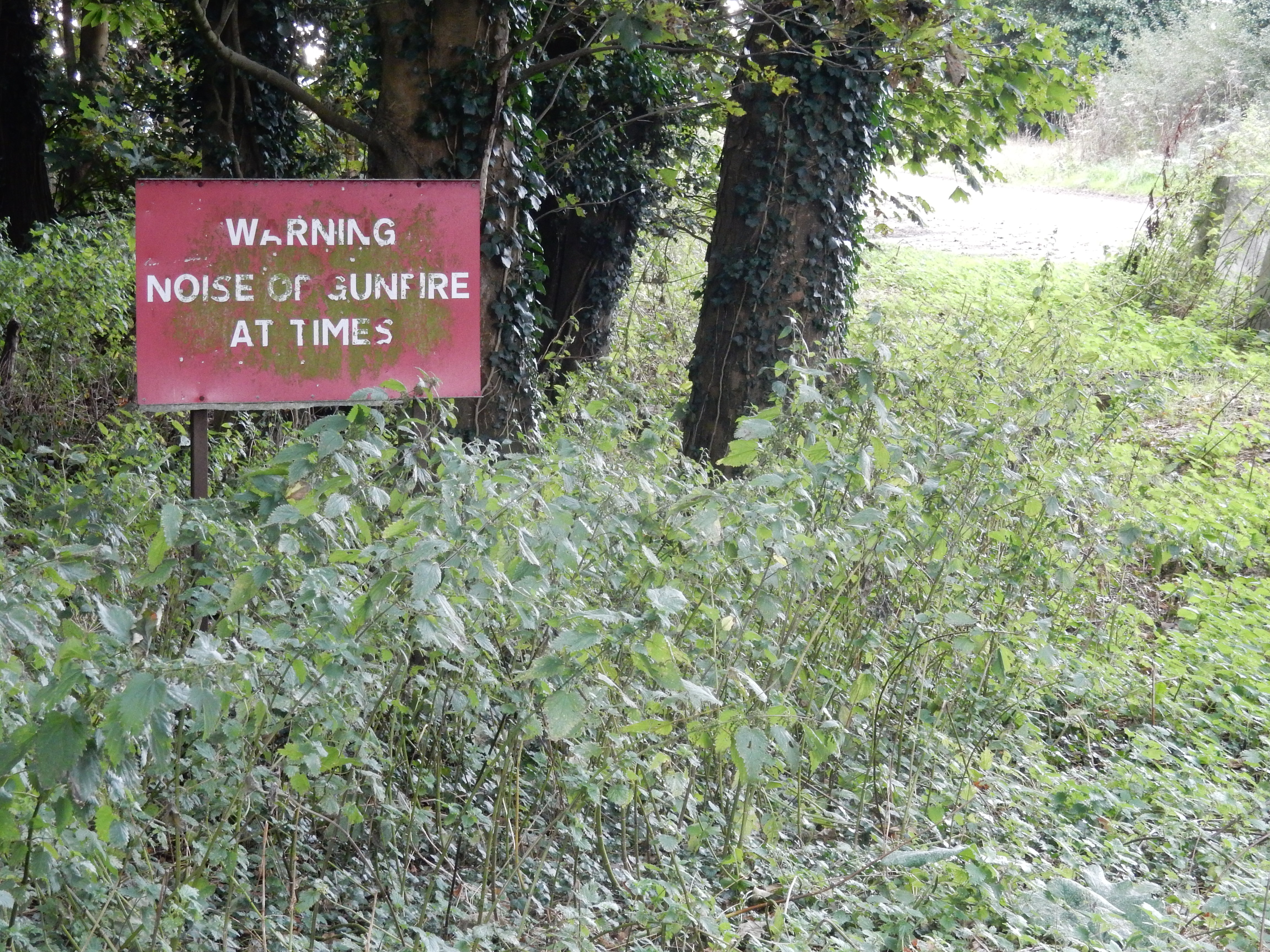
Once north of the A11, you begin to observe regularly spaced notices in the fields to the west of the PW. They all convey an unambiguous prohibitory order. On most days, it is likely that you will hear this message reinforced by audible indications of its veracity. For the next six miles or so, simply crawl along on all fours to proceed in complete safety.[10] The Stanford Training Area became visible on my genealogical radar after the 1826 marriage of Eleanor (daughter of Samuel Clarke of Bergh Apton) to Daniel Denny. Daniel is buried in the village of Stanford , along with his youngest son: Charles Clarke Denny. Not wishing to suffer inhumation there myself, I do not stop to pay my respects.[11] 🪦

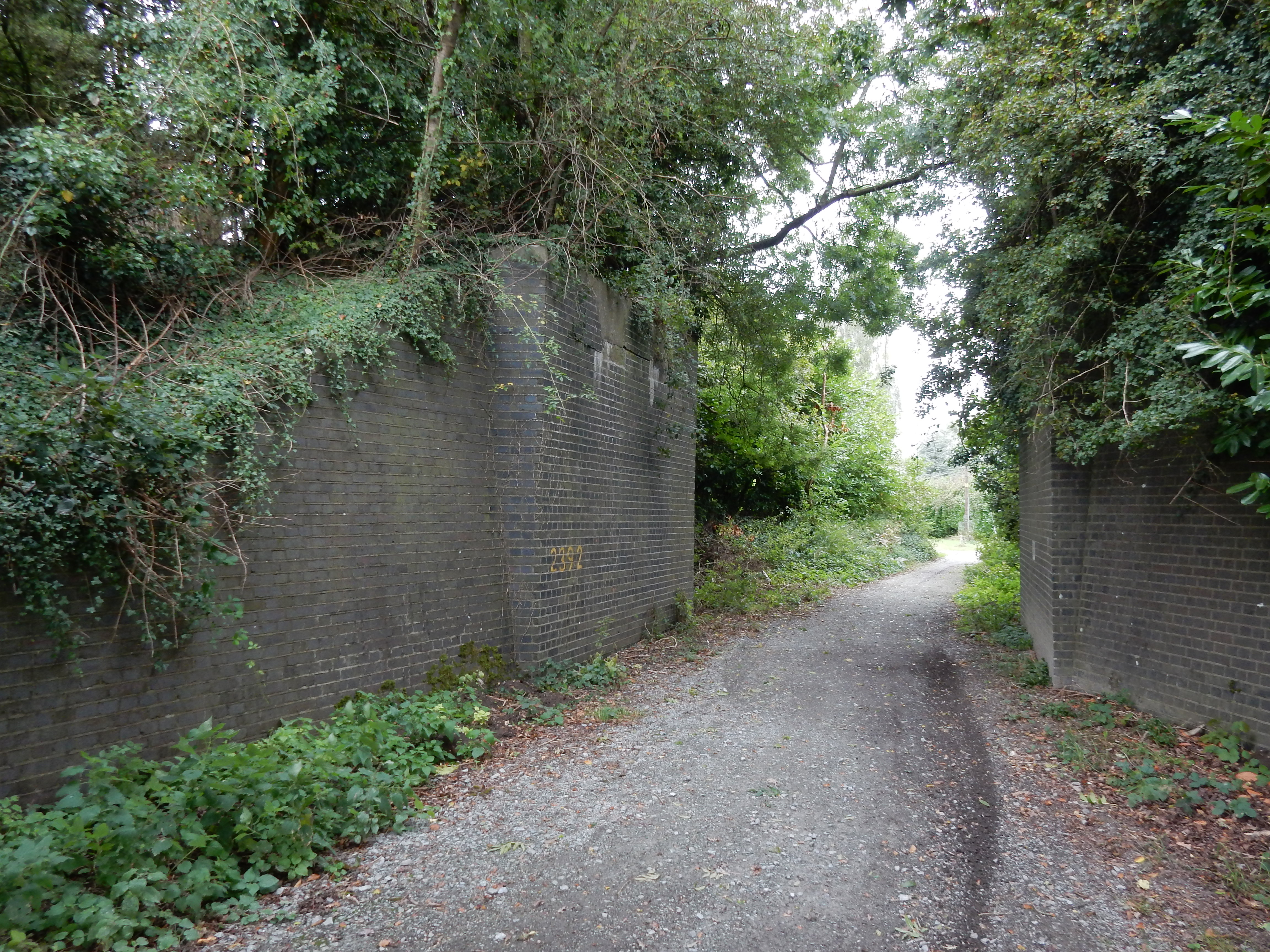
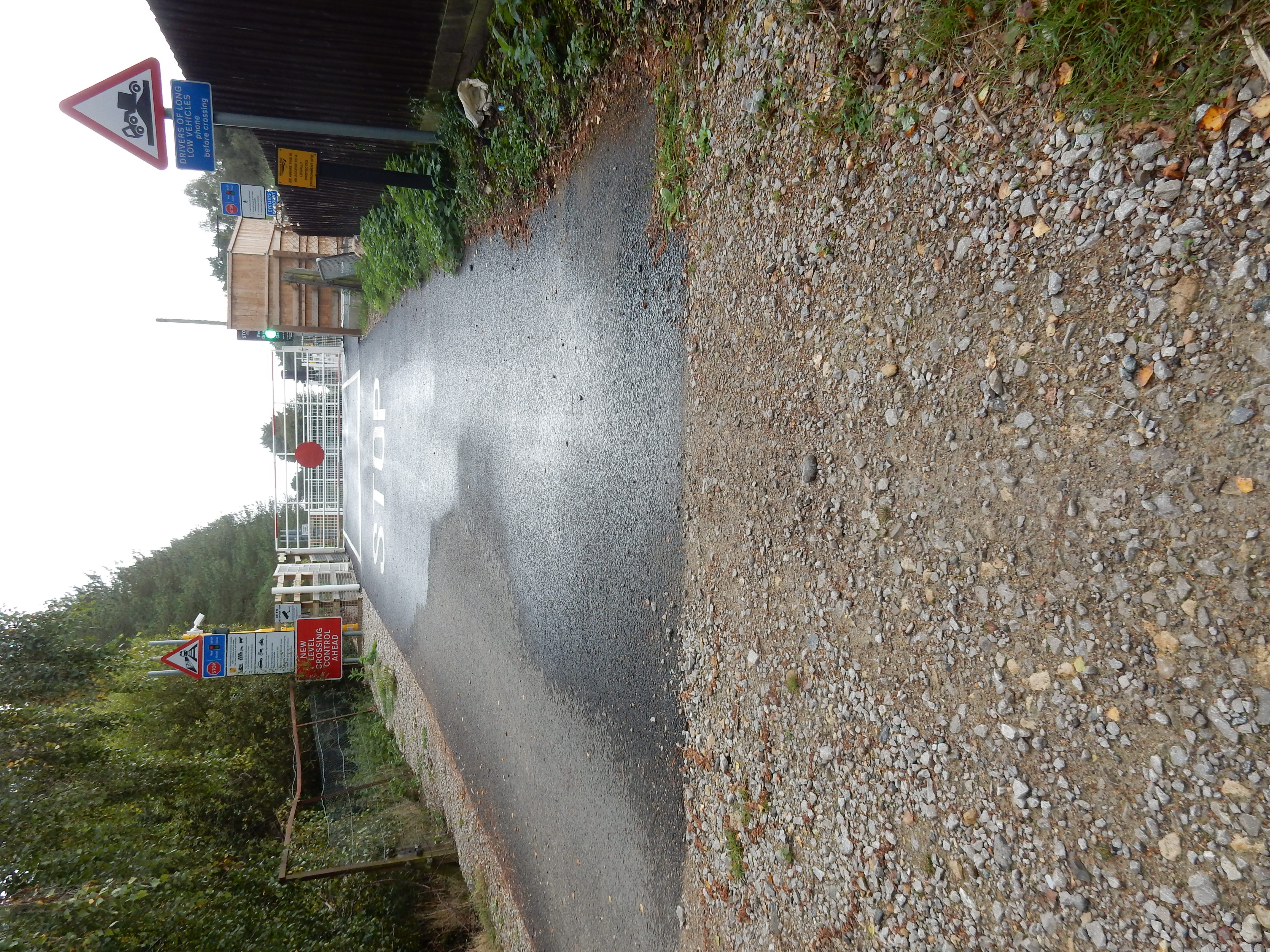
I procede into Roudham Heath using the tunnel under the Thetford to Norwich rail line, but need not do so. Ignore the PW signage to right and follow the OS straight over the level crossing. A train was spotted using the line in 1874, but little has come through since. A hundred metres north, the Hereward Way joins the PW from the west.[12] The two paths run together northwards through the next ½ mile of unvarying Forestry England before Hereward veers away east towards its terminus at Harling. Stonebridge is about the only urban part of Section #1 of the PW. It is perhaps as well that I did not have to wait long for it.[13] So note, literally in passing, that the penultimate rail station before my destination today (Watton) was located here until 1964. The old line passed over the PW at Stonebridge on a heading up to 2½ miles further east, so avoiding the marshes near Thompson.[14] Conversely, the 'Roman Road' I walk today swerves round to the west of the marshes,[15] through Madhouse Plantation. Ask the OS; I have no idea. Driven to it by the noise of gunfire, maybe?
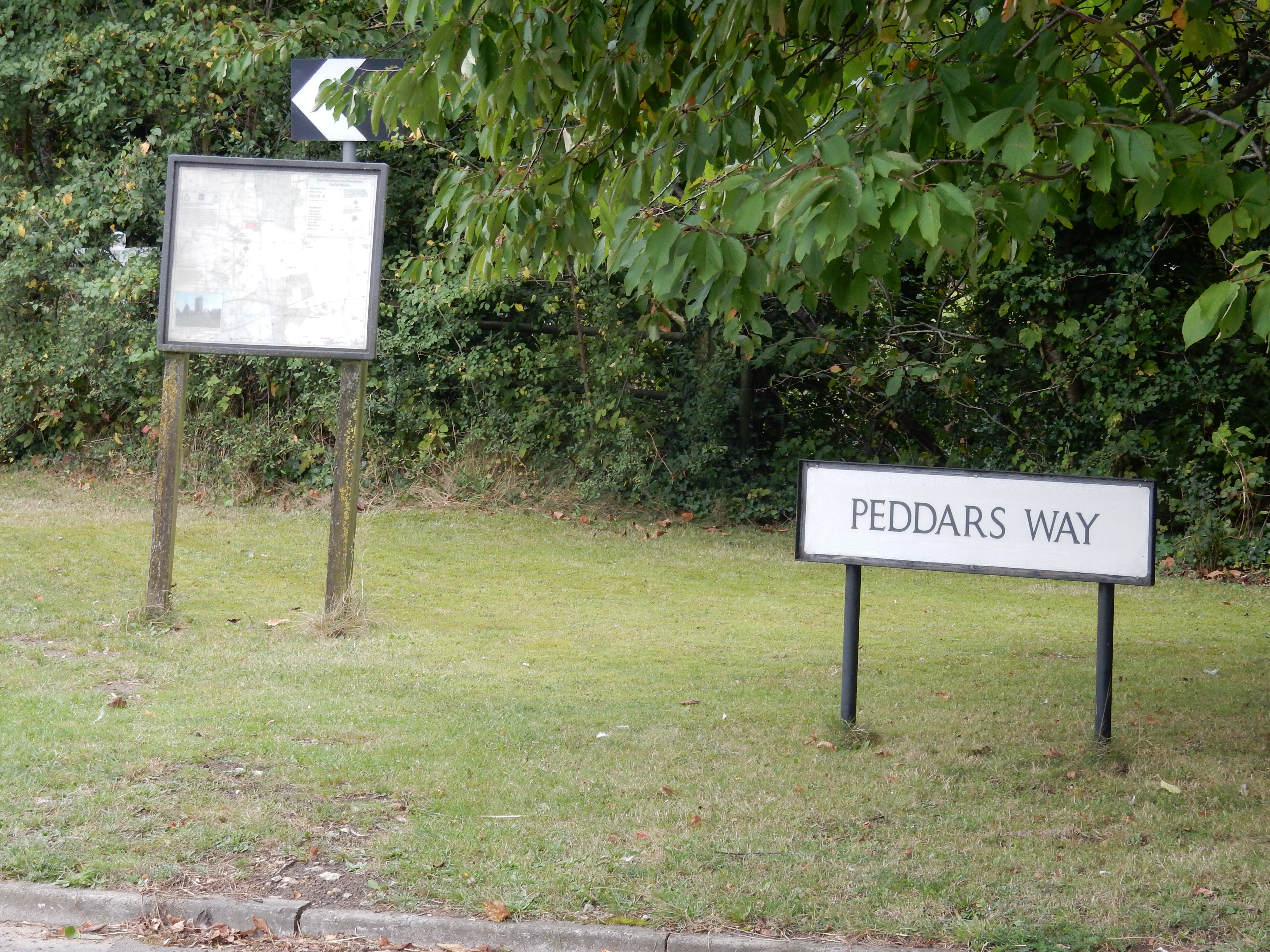
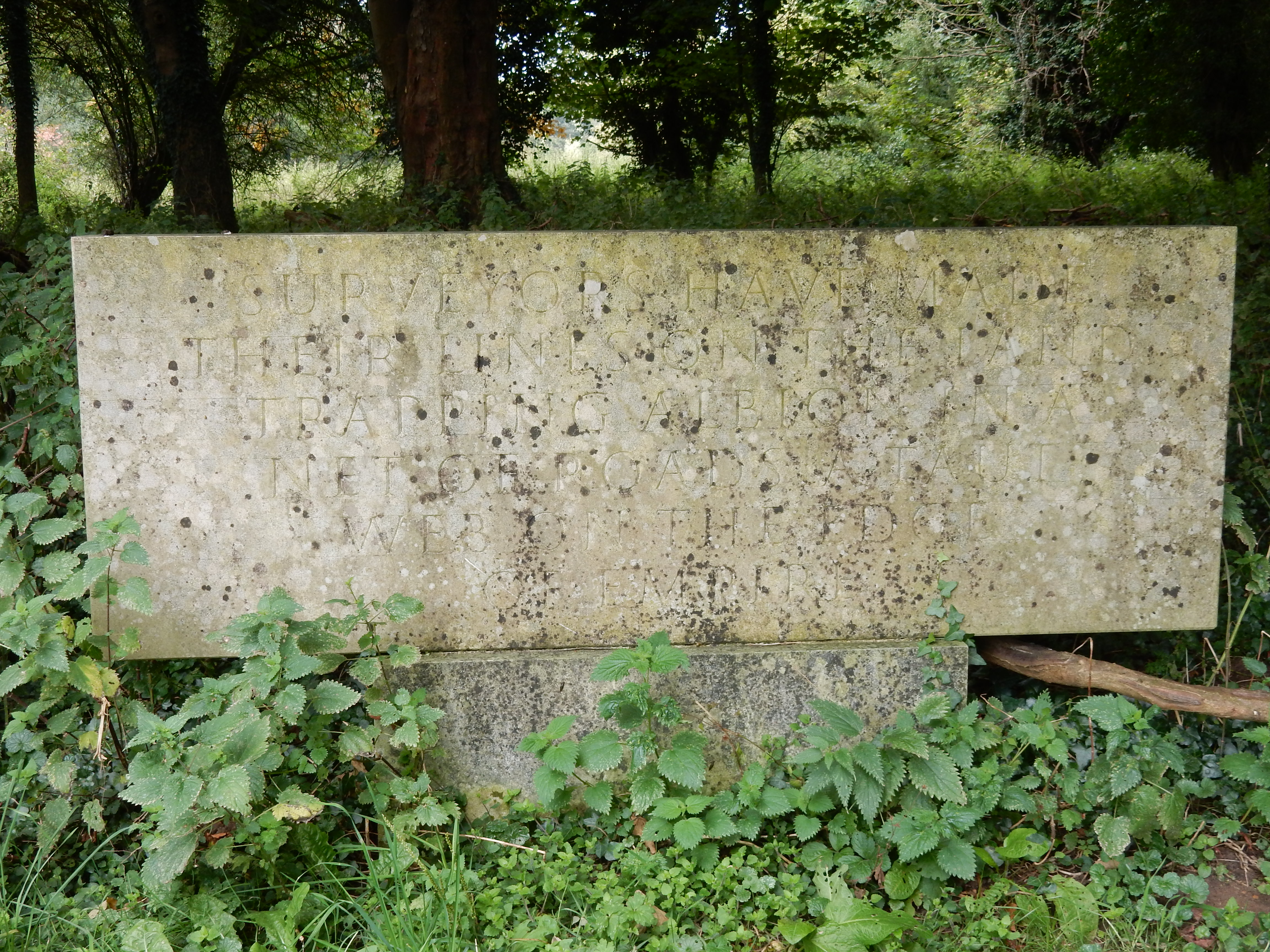
At Merton there is another poem. It witters on about surveyors. I'm sure a transcription is somewhere on the net, if you are interested. A mile further on from the song to surveyors is the point at which I depart from the PW; as it heads west into Little Cressingham, I point my (by now rather reluctant) feet eastward for the two miles required to reach to reach the car at Wayland Wood . The last 200 metres, along the A1075, are even less to my liking. At least I encounter no children; ghostly or corporeal. Will my luck continue far along Section #2 up to Castle Acre? I will let you know next year. Promise 👐[16]