
Parametric data
- Route name:
- Meopham
- Start point:
- Meopham.
- End point:
- East Tilbury.
- This route on OS maps:
- https://explore.osmaps.com/route/15828026/ ...
- OS Explorer sheet ref(s):
- 163 and 162.
- Distance:
- 7.6 miles walked,[1] 7.2 miles flown.
-
Duration
: -
3.6 hours.[2] - Ascent:
- 74 metres (you're never too far from the Thames).
- Stiles:
- 0 (zero). There are some steps up/down the sea wall.
- Landmark of note:
- Tilbury Fort.
- Feasible excursion:
- Fort Road, from Tilbury to West Tilbury is without a footway and carries significant levels of traffic. Its verges could be usable by the adventurous.
- Waypoints:
- Nash Street, Istead Rise, New House, Windmill Hill, Gravesend, West Tilbury Marshes, East Tilbury Marshes and Coalhouse Point.
-
Weather: -
 16°C,[3] 🌥️
Completely dry with a light breeze.
16°C,[3] 🌥️
Completely dry with a light breeze.
-
Avoiding roads: -
 Nurstead Church Lane: 300 yards, light traffic, though.
-
Footpath construction: -
 Through Nurstead is dirt. Traffic is light, so you may do OK
into early winter.
Through Nurstead is dirt. Traffic is light, so you may do OK
into early winter.
-
Footpath condition: -
On the day, bone dry.
- Refreshments:
- Lunch with a 3C0R in Istead Rise.
-
Vistas: -
Hills? Along the Thames Estuary?
Blackberries:-
Through
Nurstead
and, more particularly, later along the
north bank Coast Path.[4]
Route map.
Walk notes.
Not a typical walk by my standards, this. OK, yes, it was driven by a last minute, inadequately planned, weather and transport based decision. However, the diversionary visit to Istead Rise is not something I would normally incorporate into a ten-miler. You don't need to know this except to appreciate that my walk statistics are a bit messed up.[5]
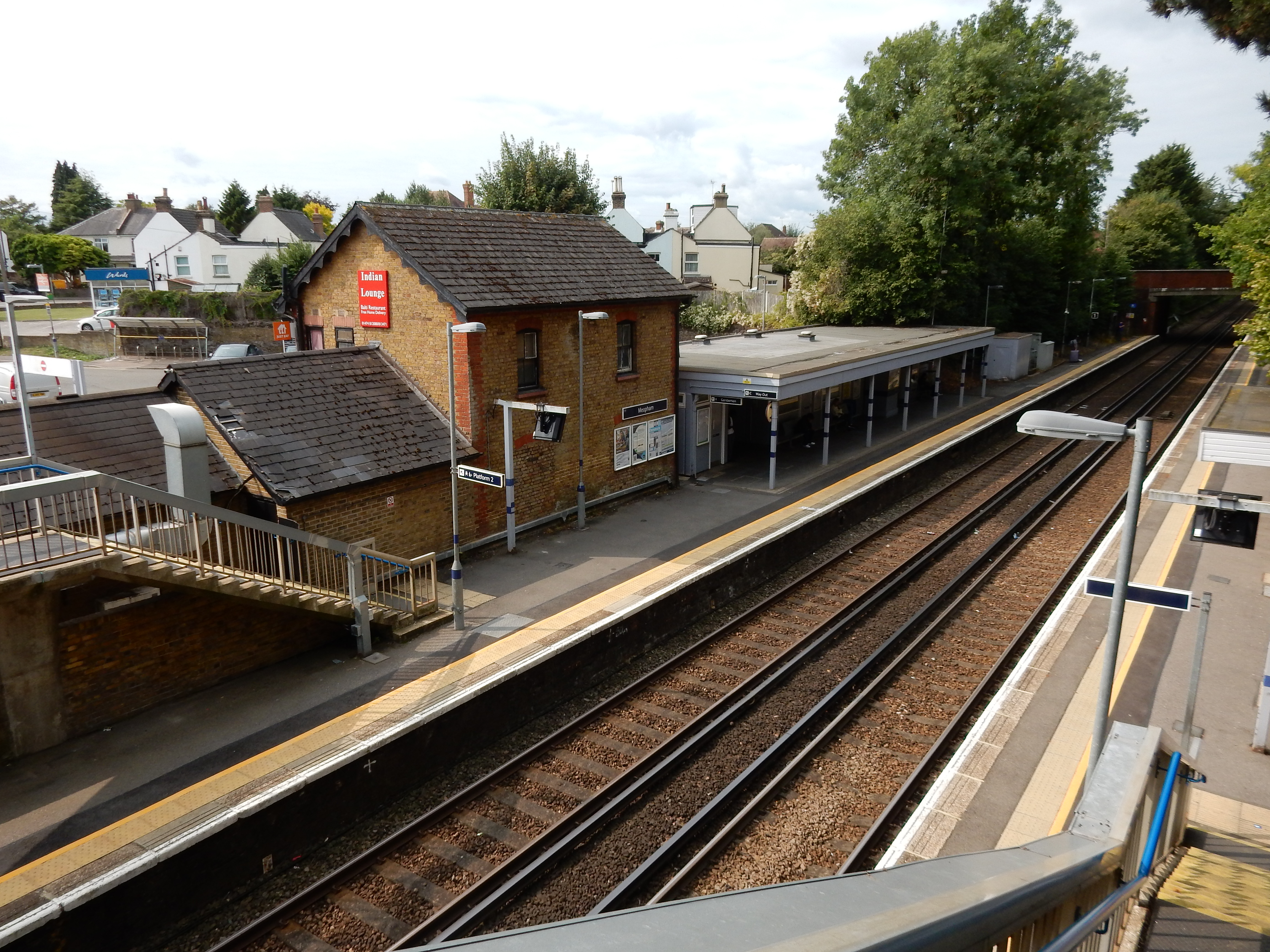
Meopham is unremarkable. If you are a horse then you will feel quite at home there. The damp 2023 summer has, at least, done the blackberries some favours here. The bees may have benefitted too, enabling me to purchase a jar of honey by the farm gate in Nash Street 😋
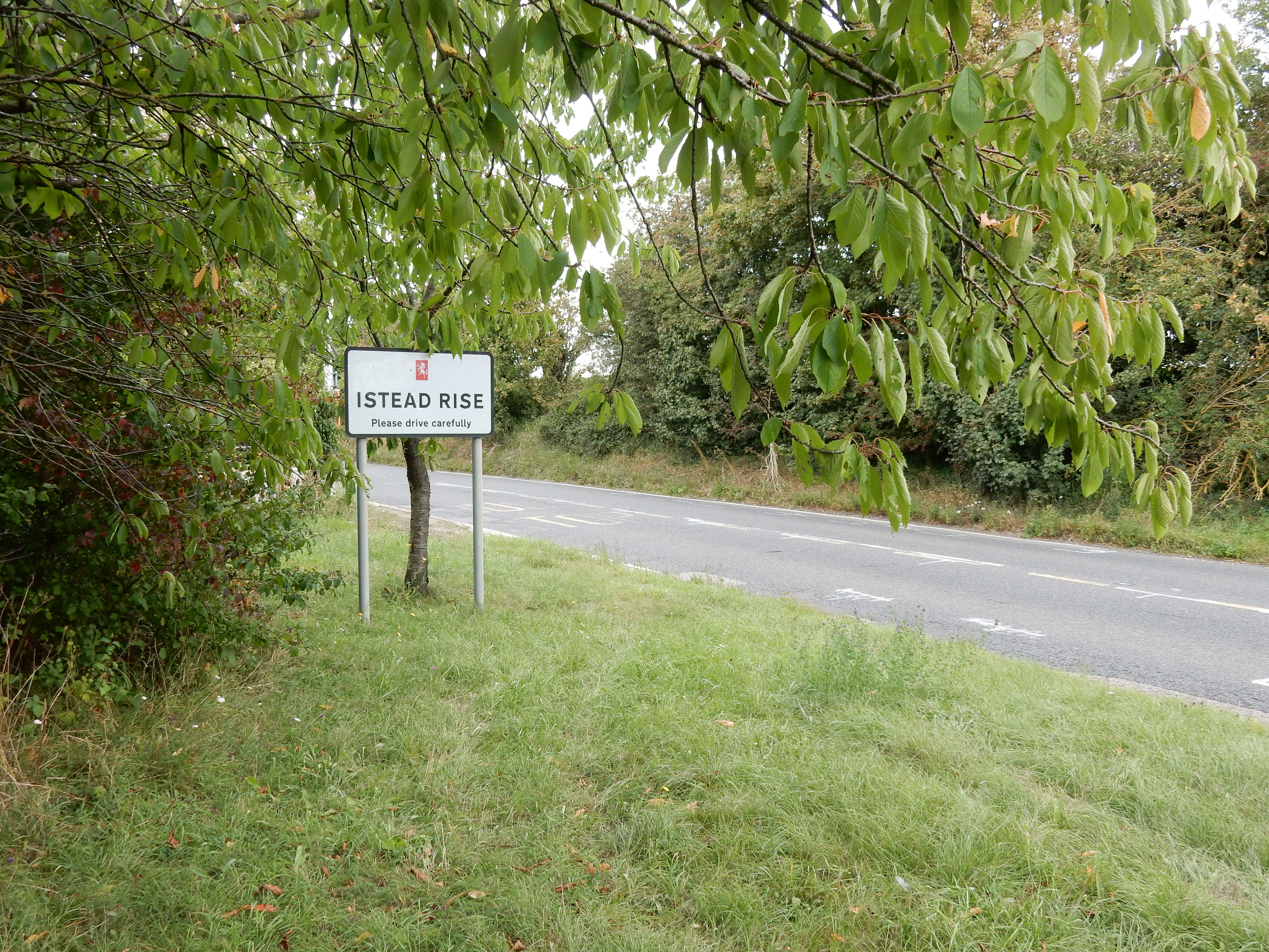
The swing westwards into Istead Rise is a planned visit to a 3C0R for lunch and a lengthy discussion of the family tree. This continues so far into the PM that fears are expressed regarding my ability to reach the end of this walk before nightfall. Would I like a lift to the ferry? It transpires that this offer is more opportune than I might suppose.
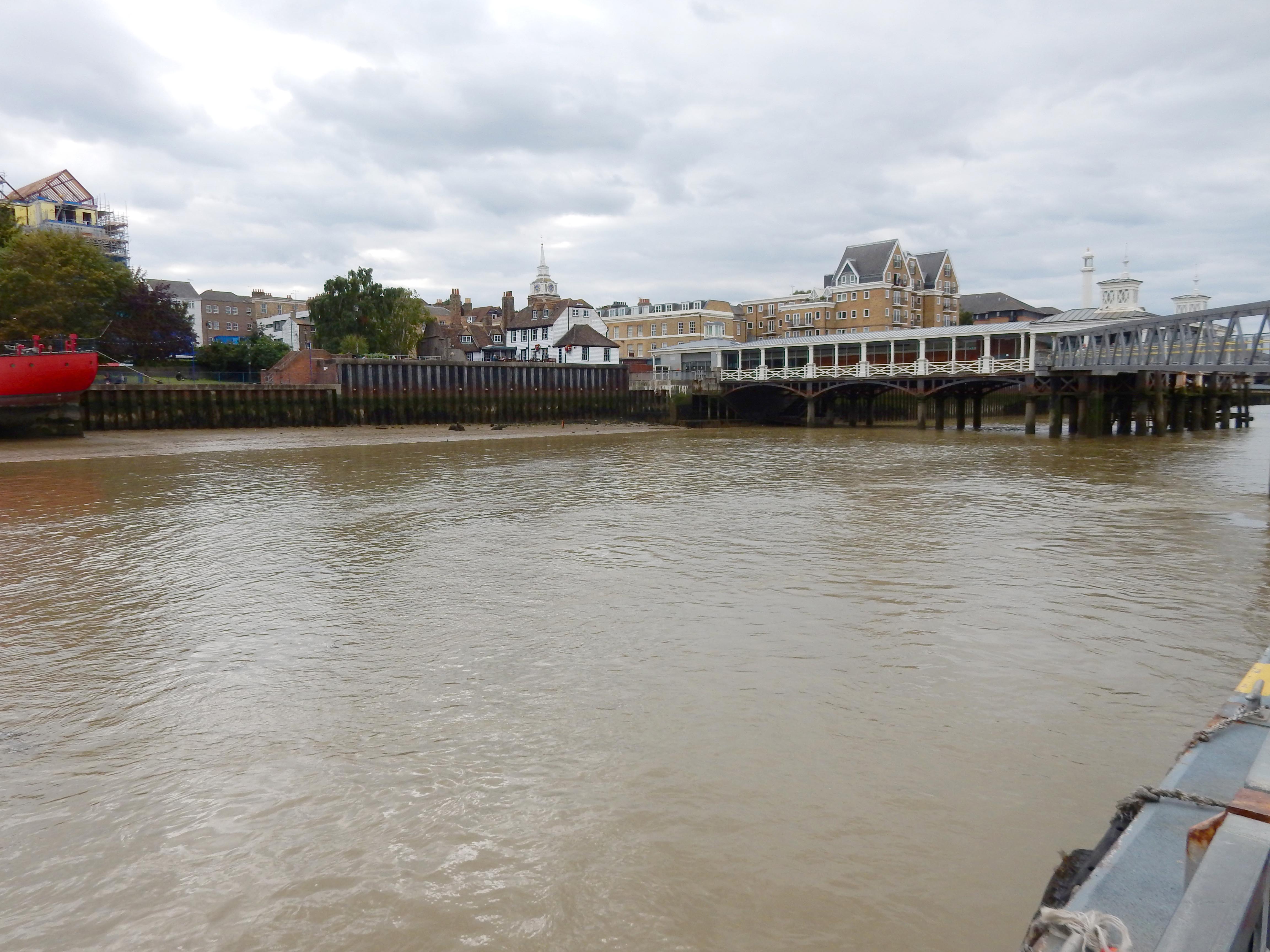
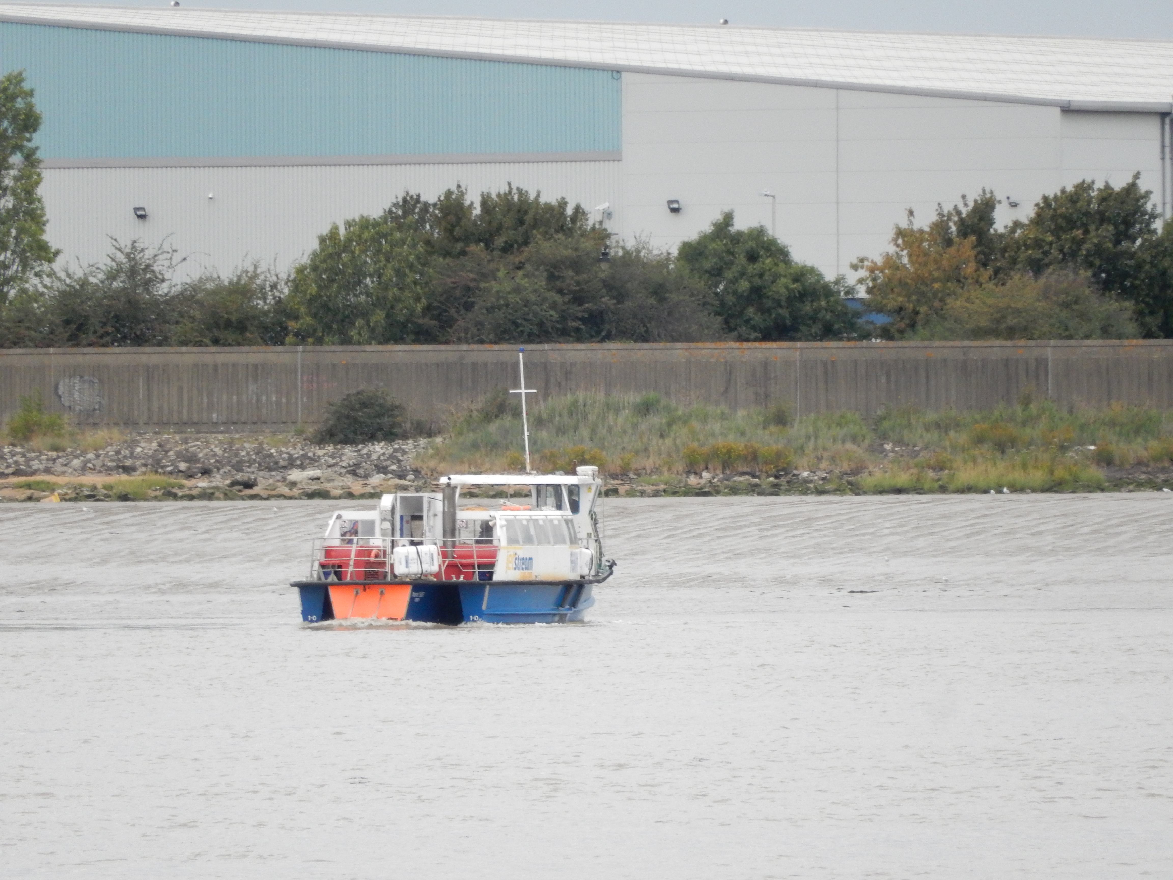
The ferry crossing is one not previously attempted by me. A departure is made every half hour, so there is a little time to observe the surroundings along this stretch of the Thames. Actually, it might more properly be called a part of the North Sea because the briny here is noticeably tidal in character. As the ferry approaches me from the Tilbury bank it is obliged to point itself about 30 degrees starboard of its actual direction of travel. The ebb tide this afternoon is evidently very powerful roundabouts. I pay my £4 and board the vessel, where every square inch not required for some other purpose is used to store lifejackets. I conclude this feature to be not completely pointless.
At the north terminal is an exhibition of photographs dating from the era of immigration from the Caribbean, during which Tilbury played a part. The name London International Cruise Terminal might suggest a venue of prestige. See the champagne flow on its web site. Today, however, some imagination is required to appreciate its attraction. The foot passenger is now advised to follow the same exit route proposed by the OS - involving a short walk through the gate shared with vehicular traffic. Head east along the esplanade (😆) and alleged England Coast Path (ECP).
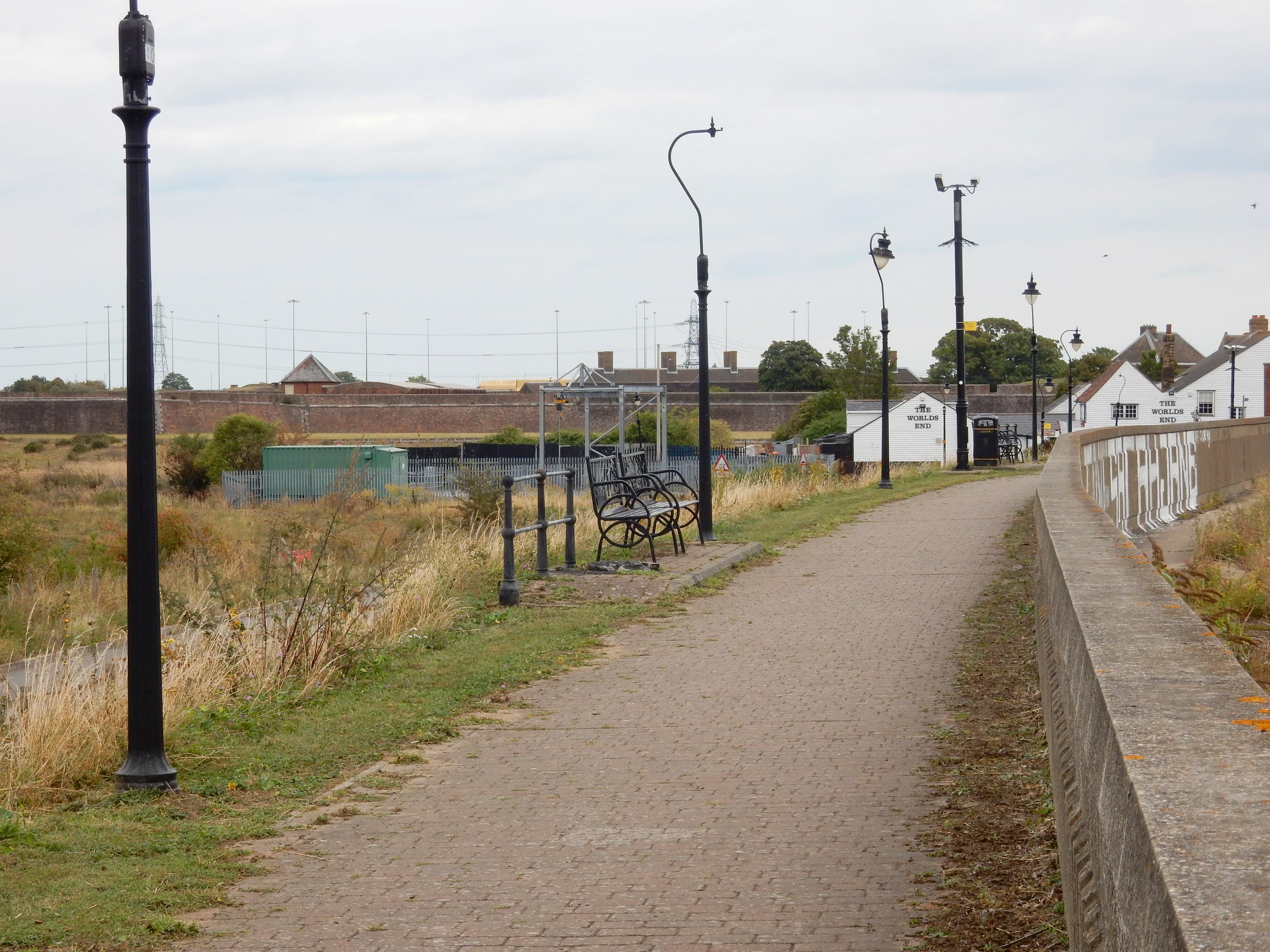
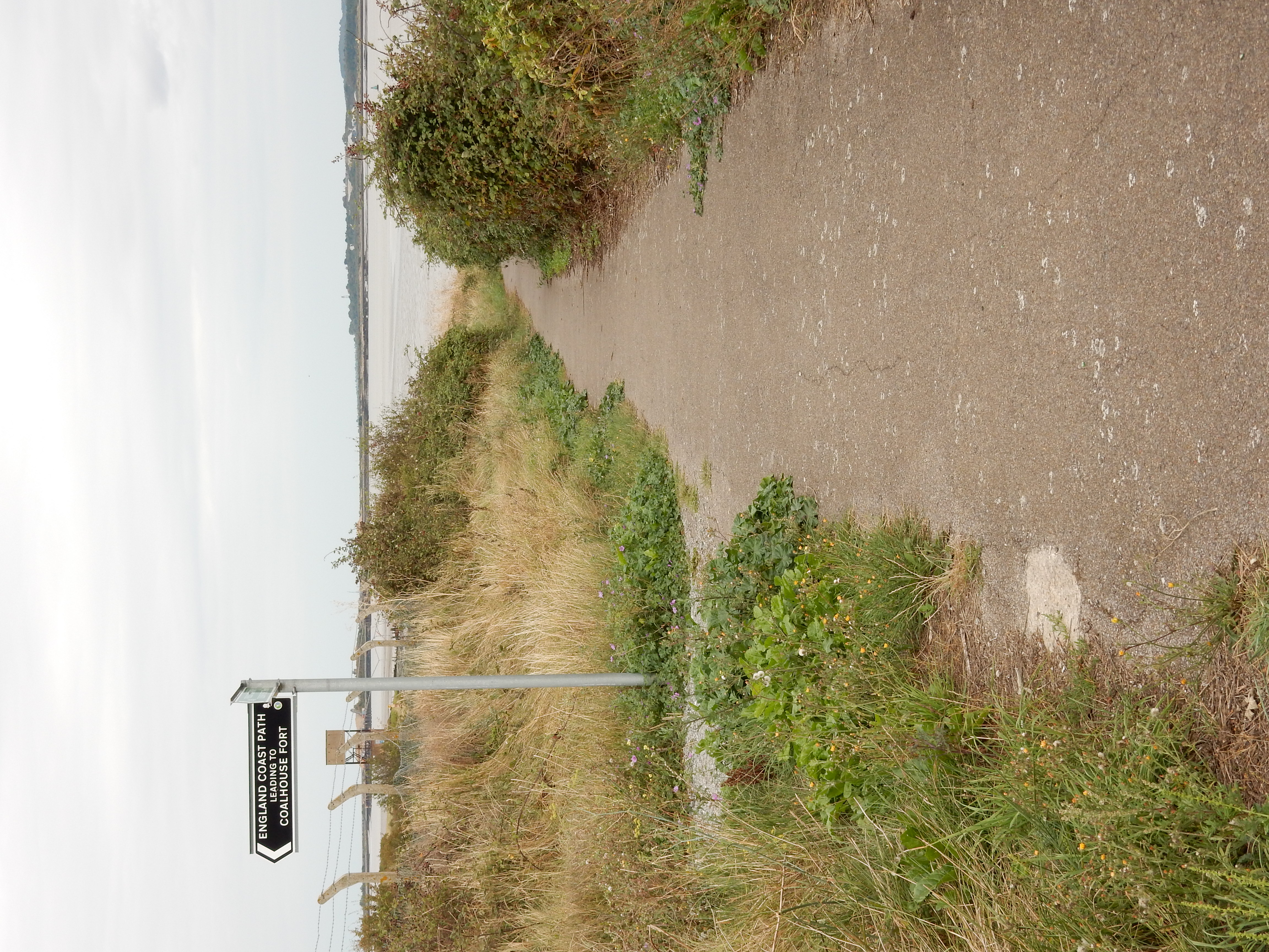
The Coast Path winds its way past Tilbury Fort and other installations from centuries past that emphasised discouragement of the foreigner intending to enter Britain. Potential intruders will find Tilbury Sewage Treatment Works more noticeable than champagne. The nine foot high concrete wall running for a mile along the Path may be a flood defense for London but storm tides will take no notice of barbed wire topping it.
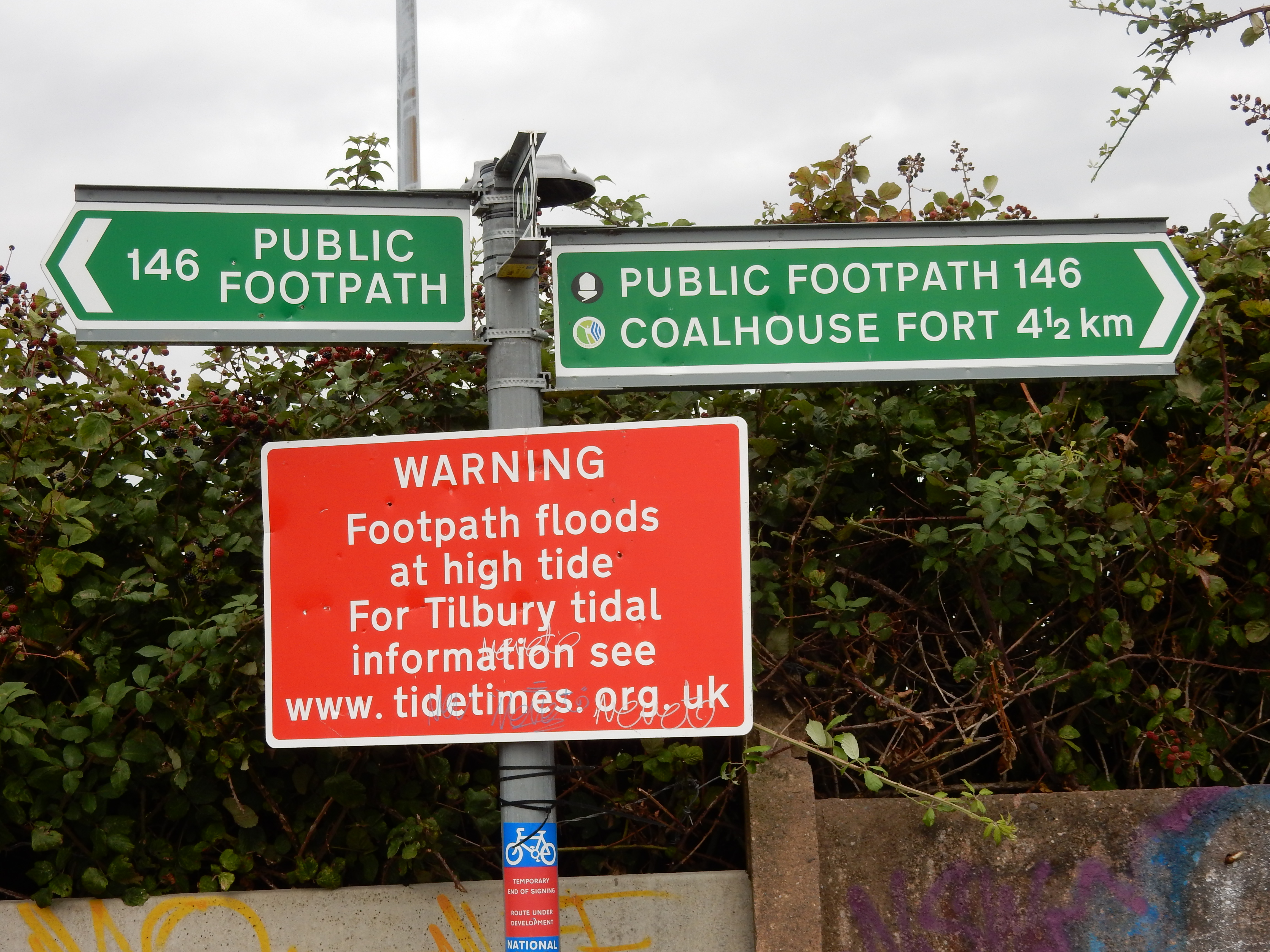
Perusal of the OS Map for this part of Essex now reveals several large areas drawn in pink and delineated by a string of pink semicircles. Wassat, I wonder? It transpires that these are parts designated by DEFRA as Coastal Margin. The gist of this innovation appears to be that it applies to land between the sea and the ECP. How this changes the legal status of the humble Rambling Richard isn't clear. In any case, since the ECP itself is not finalised, I shan't hold my breath.
At 51.4541,0.398228 the sea wall is finito and, shortly thereafter, the OS route planner starts fidgeting for a more northerly route towards my destination. Unfortunately, it is soon obvious that the OS' impatience has the better of it. The old proverb that stipulates trust of the terrain when the map and the terrain disagree, is here proven entirely correct. The OS would have me lurch across the Tilbury Marshes along an unmade road that is not now a public right of way and, in any case, is carrying earth moving plant whose wheels might leave me pressed into the Marsh without the driver so much as noticing. Better continue east for another mile or so to 51.4584,0.423295 ; rather late in the day though it is.
After some more fun and games you reach East Tilbury. Its southern end by the church appears perfectly normal, but further up seems, how shall I put this politely, decidedly offbeat. The biggest clue to the secret hiding in East Tilbury is prominently displayed on the western side of Princess Margaret Road opposite the school. These enormous, semi derelict, industrial buildings with an Art Deco feel to them testify to East Tilbury's past as a 'company town'. In this case, the product was shoes. It's the kind of place that Iain Sinclair might relish. Who, I wonder, supplies his shoes?

Even when you reach the railway station, the spooky feeling persists because it, too, was built for the benefit of Tomáš Baťa's employees. Watch as a ¼ mile long freight train trundles towards Tilbury, doubtless to the delight of traffic queueing at the level crossing.