Parametric data
- Route name:
- Merstham
- Start point:
- Merstham.
- End point:
- Oxted.
- This route on OS maps:
- https://explore.osmaps.com/route/23107457/ ...
- OS Explorer sheet ref(s):
- 146.
- Distance:
- 9.5 miles walked, 6.3 miles flown.
- :
- 5.3 hours.[1]
- Ascent:
- 394 metres.
- Stiles:
- 0 (zero).
- Landmark of note:
- Whitehill folly tower in War Coppice Road.
- Feasible excursion:
- Use Chalkpit Lane to shortcut into Oxted.
- Waypoints:
- Chaldon, Caterham, Tandridge Hill, Woldingham.
- Refreshments:
- Packed lunch at the viewpoint at Caterham. Nice view, grotty sandwich.
-
: -
 22°C,[2] 🌤️
A little too warm for me, but the breeze up on the hills was
fine.
22°C,[2] 🌤️
A little too warm for me, but the breeze up on the hills was
fine.
-
Avoiding roads: -
 War Coppice Road isn't great. See notes.
-
Footpath construction: -
 Much tarmac, but a lot of dirt, too.
-
Footpath condition: -
Today, dry as a bone. Overgrown section approaching the A22.
Out with the secateurs.
-
Vistas: -
 The
Caterham viewpoint
is marked on the OS.
The
Caterham viewpoint
is marked on the OS.
Blackberries:-
300 ml tub filled.[3]
Route map.
Walk notes.
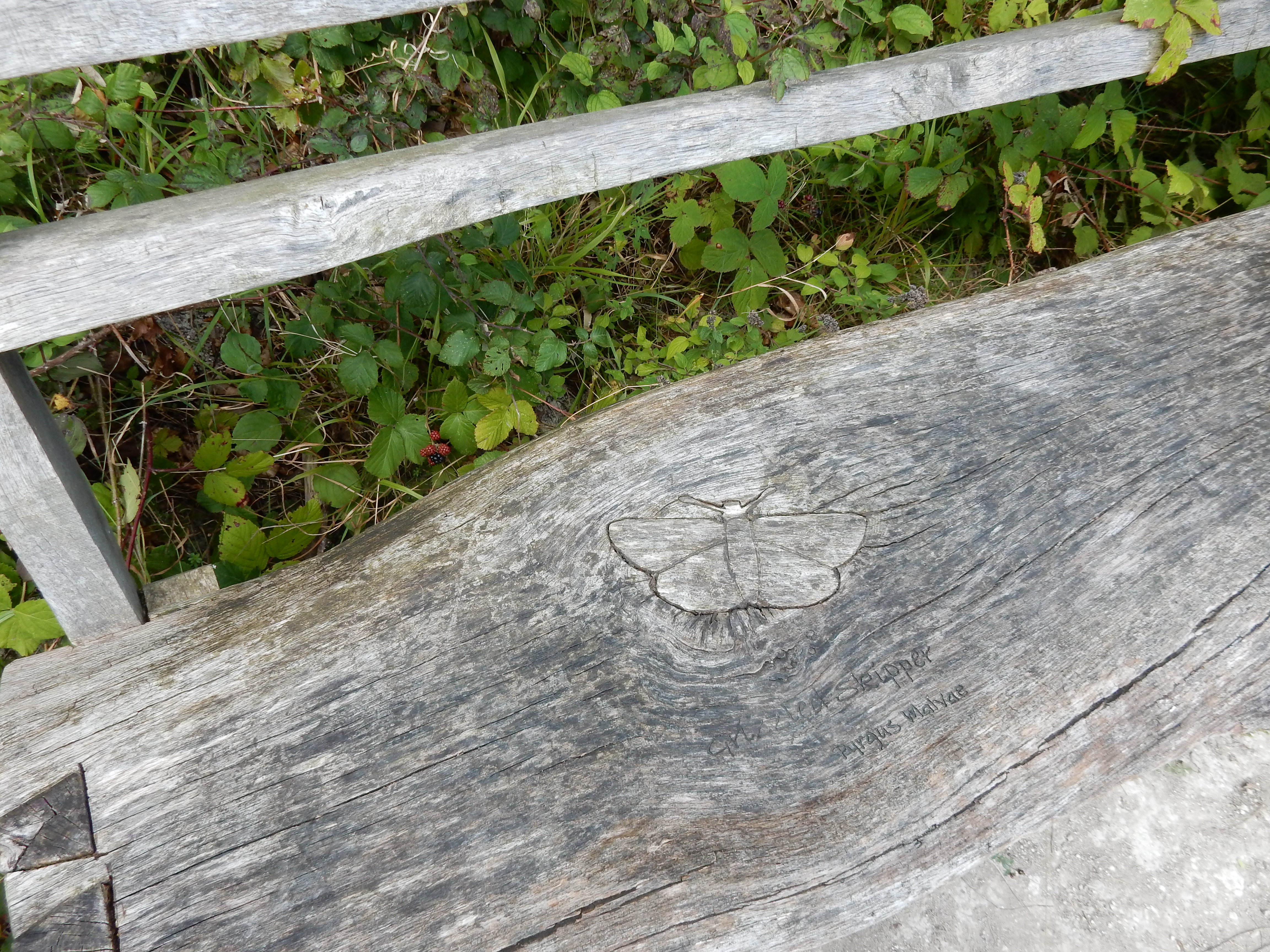
With Merstham station almost in sight still, there's a ½
mile further before I reach the NDW, so I pause to consider if
this is really an exhibit from
The Great ARTDOORS. It is the first time that I have noticed it
🤔
The climb up from the M23 to the top of the Downs, over a
distance of ½ mile, adds eighty metres to your height
ASL. When, as today, there's not a cloud above, this ascent can
be rather warm work.[4] Fortunately, the breeze comes to my aid and I'm
soon back on the flat, and making progress eastward towards
Chaldon.
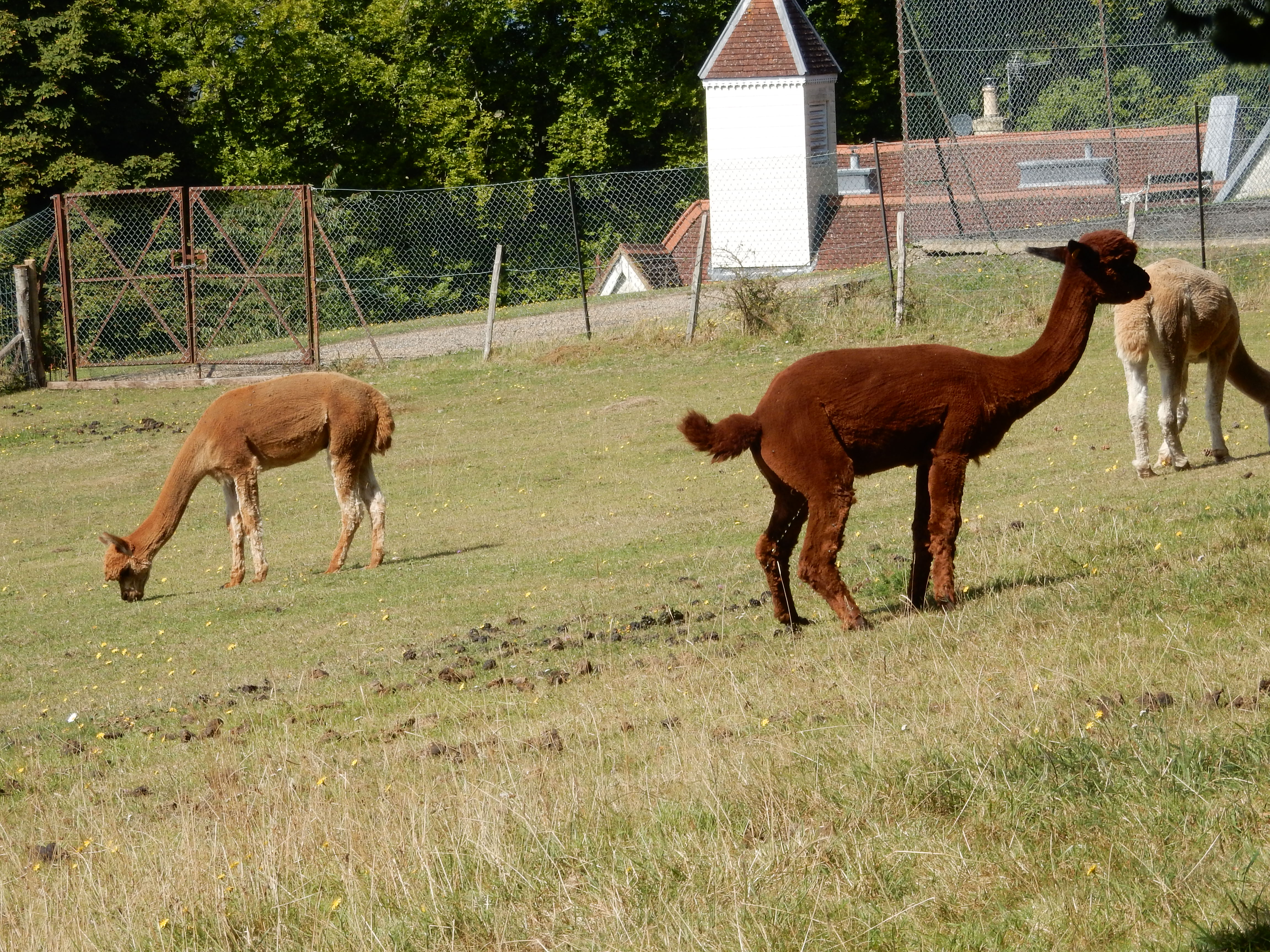
Alpacas were, doubtless, a familiar sight to gt3 Uncle Welham but they are Surrey's weirdest looking sheep. I advise against dawdling down War Coppice Road. There's no footway, but there is a continuous motorcade of Ferraris. This is Surrey, remember. Survivors of the War then need to fork right through the wooded slope below Gravelly Hill. This stretch is slow to dry out in the spring but, today, is much nicer than a bash up the behind from one of Enzo's red chargers.
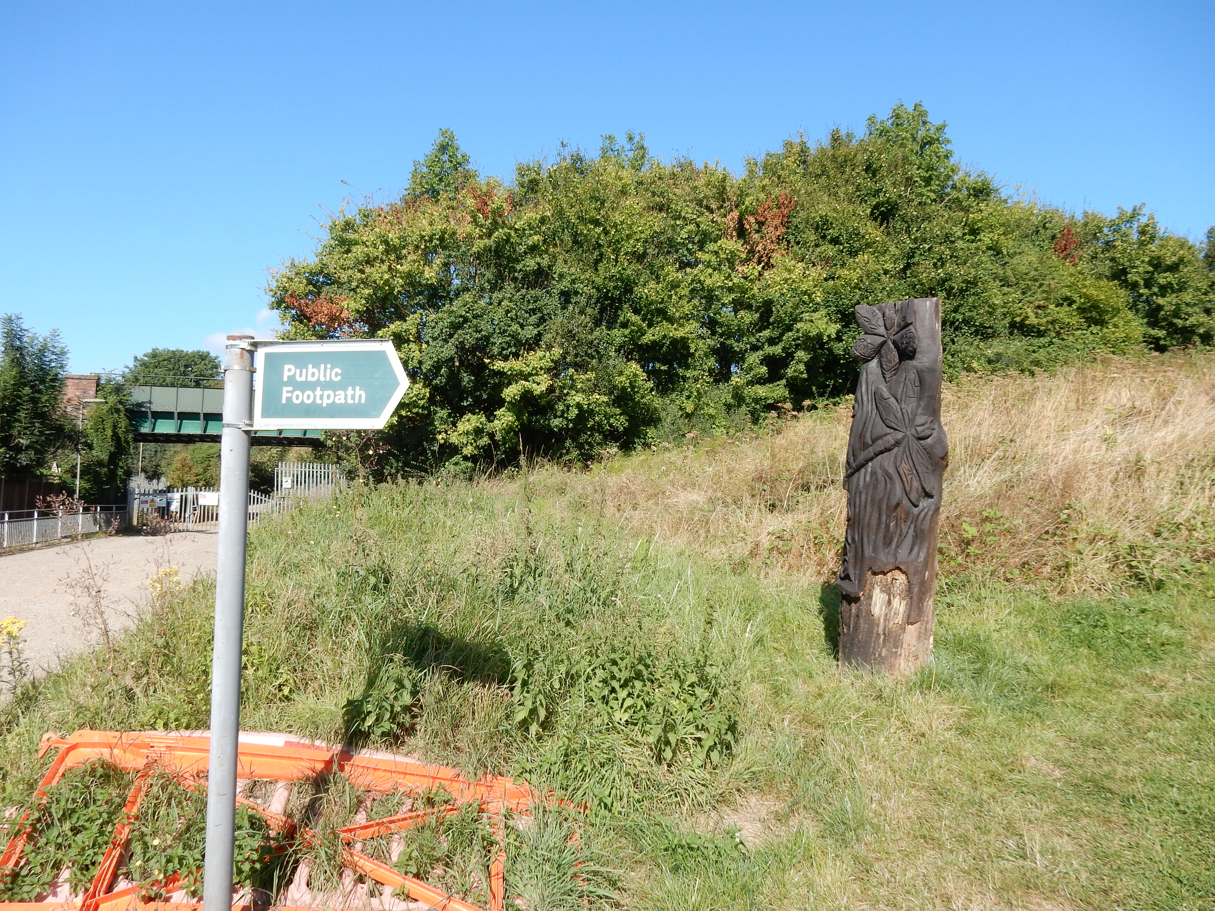
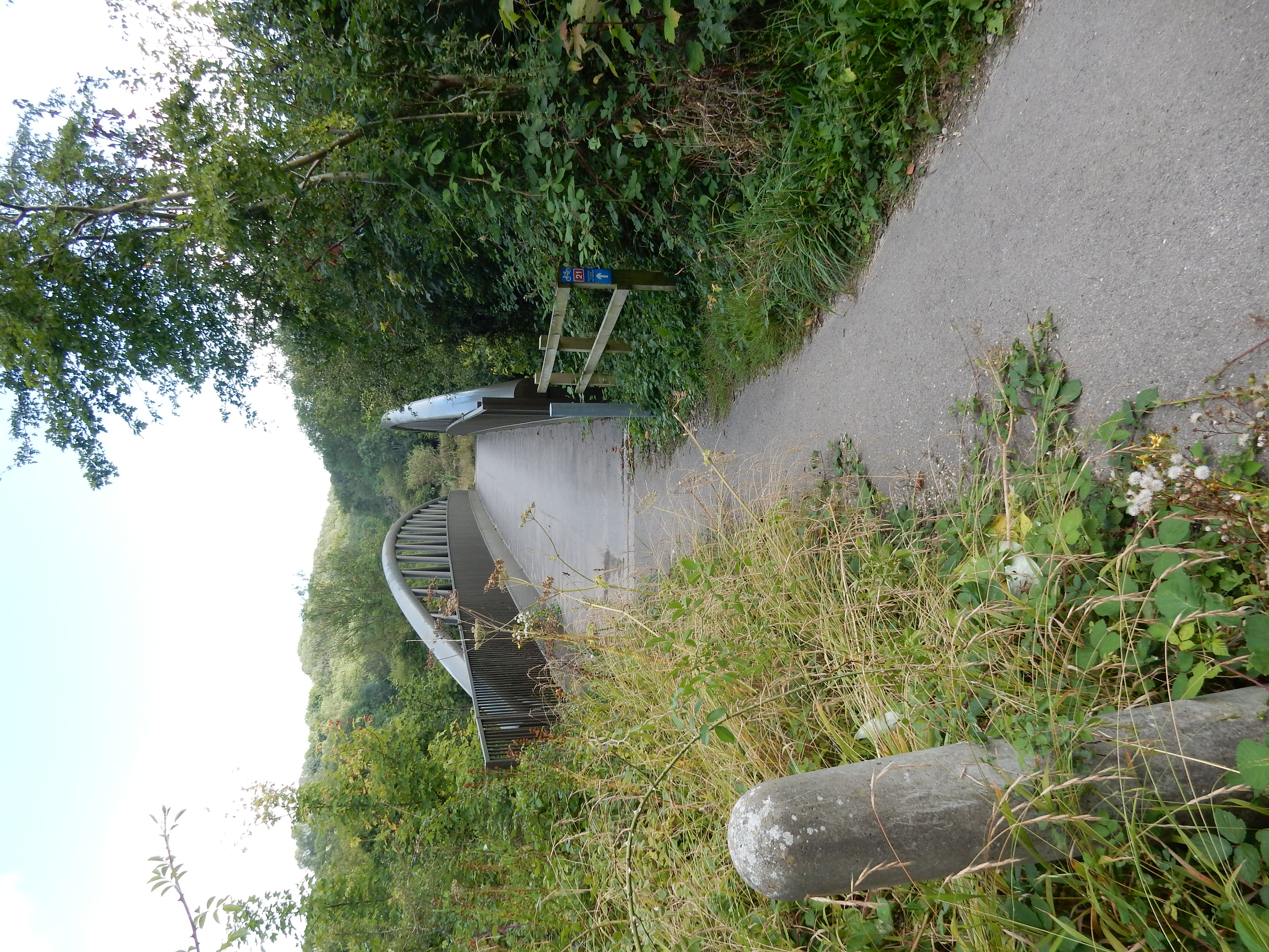
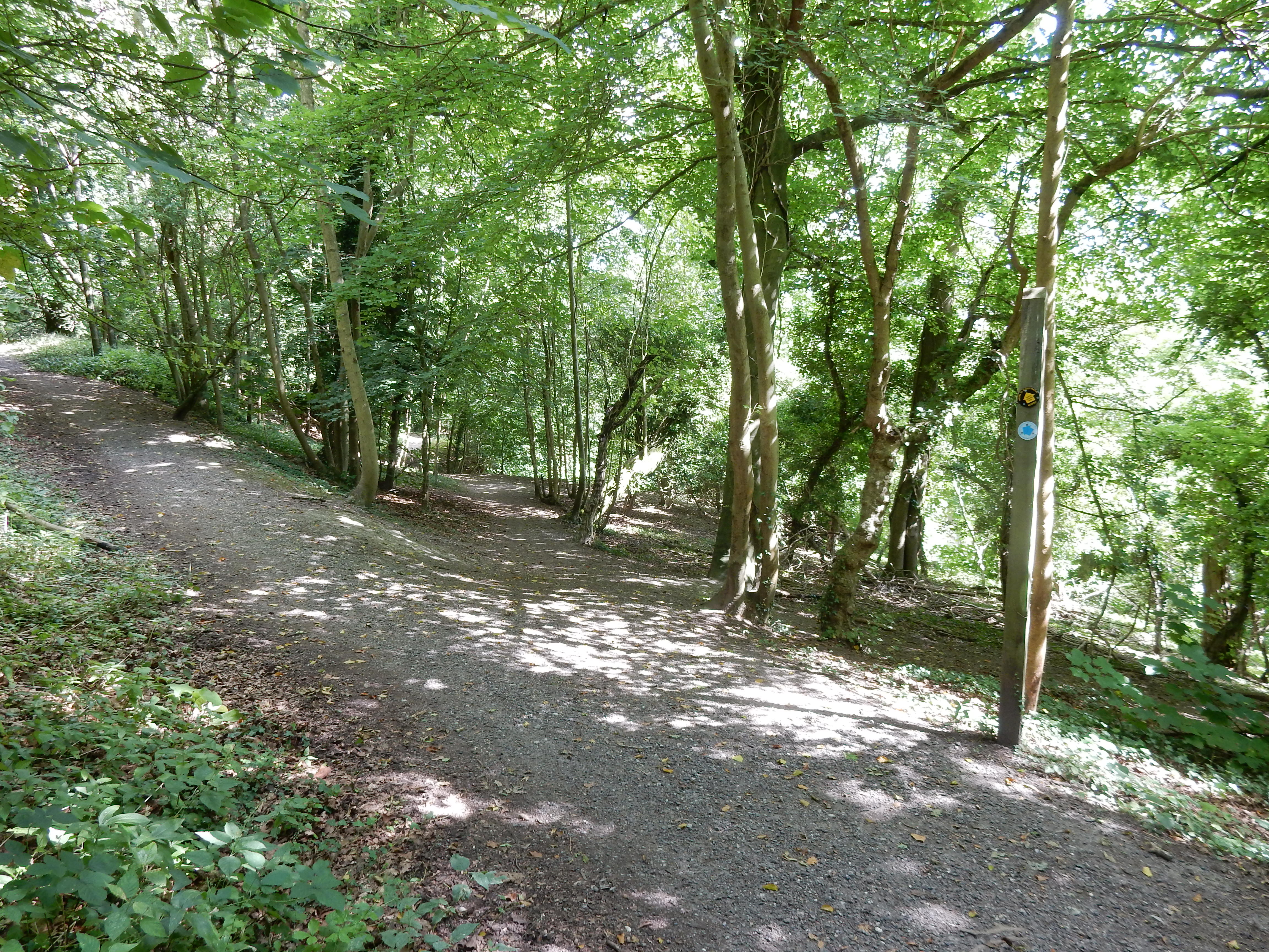
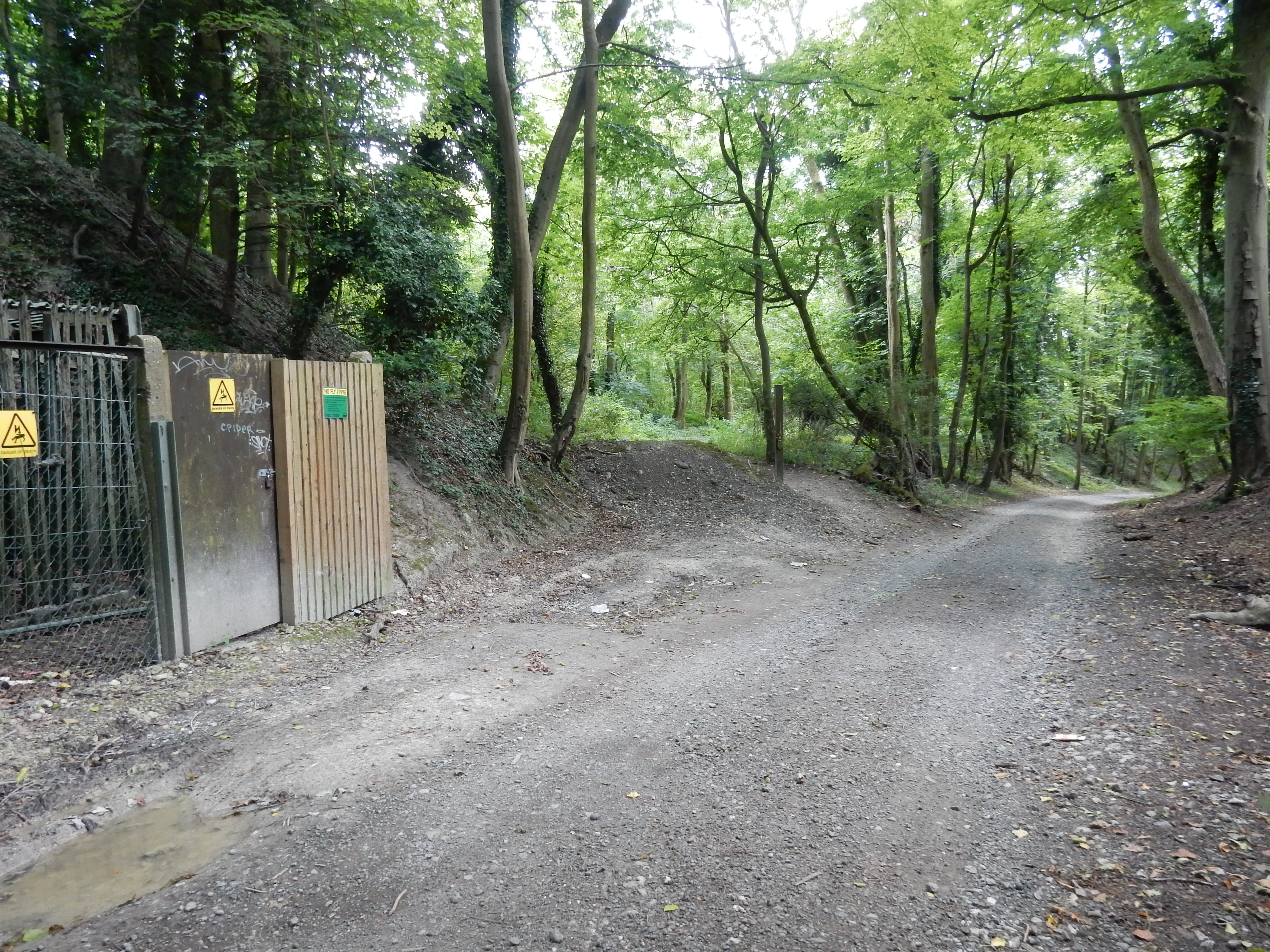
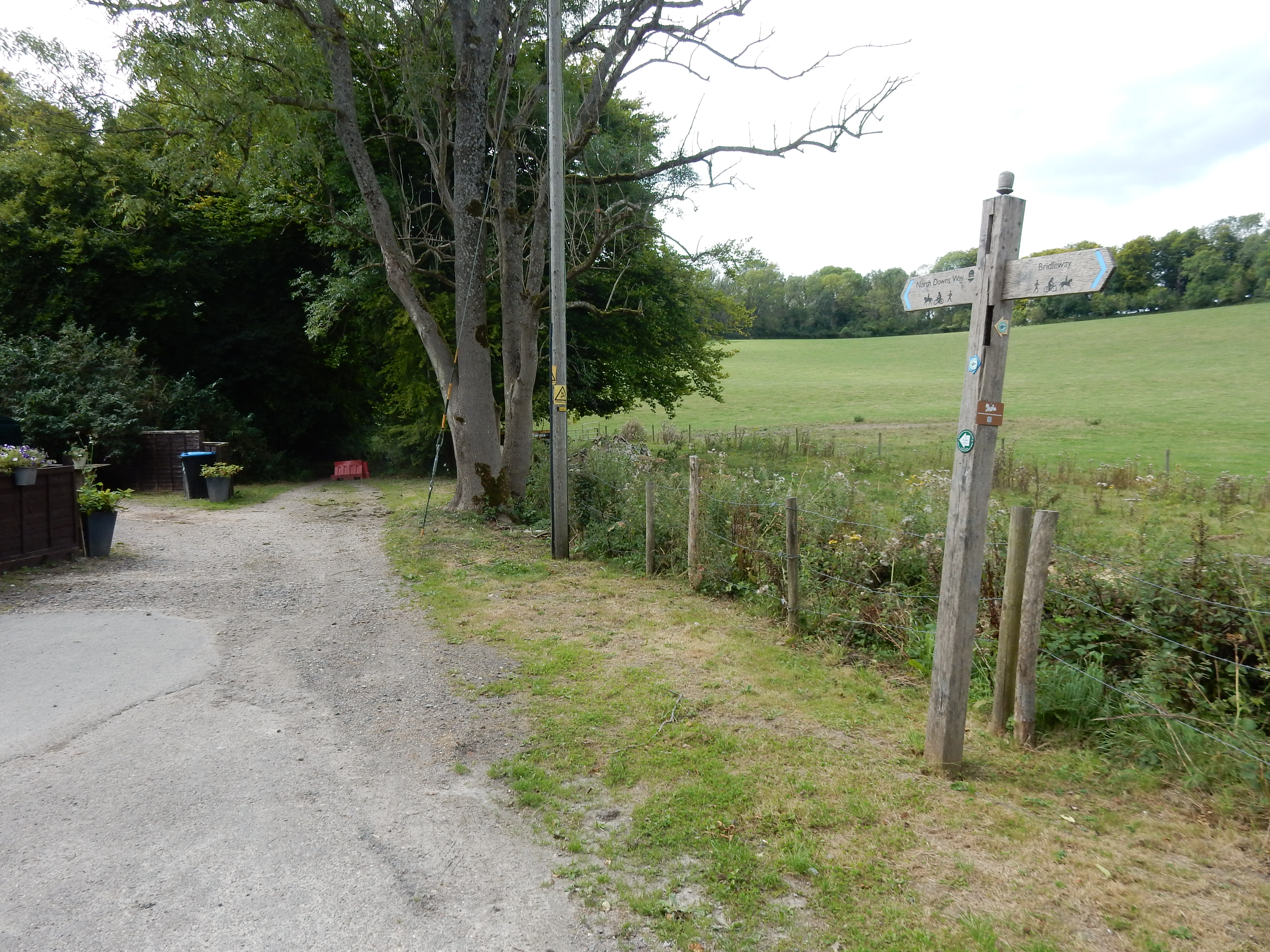
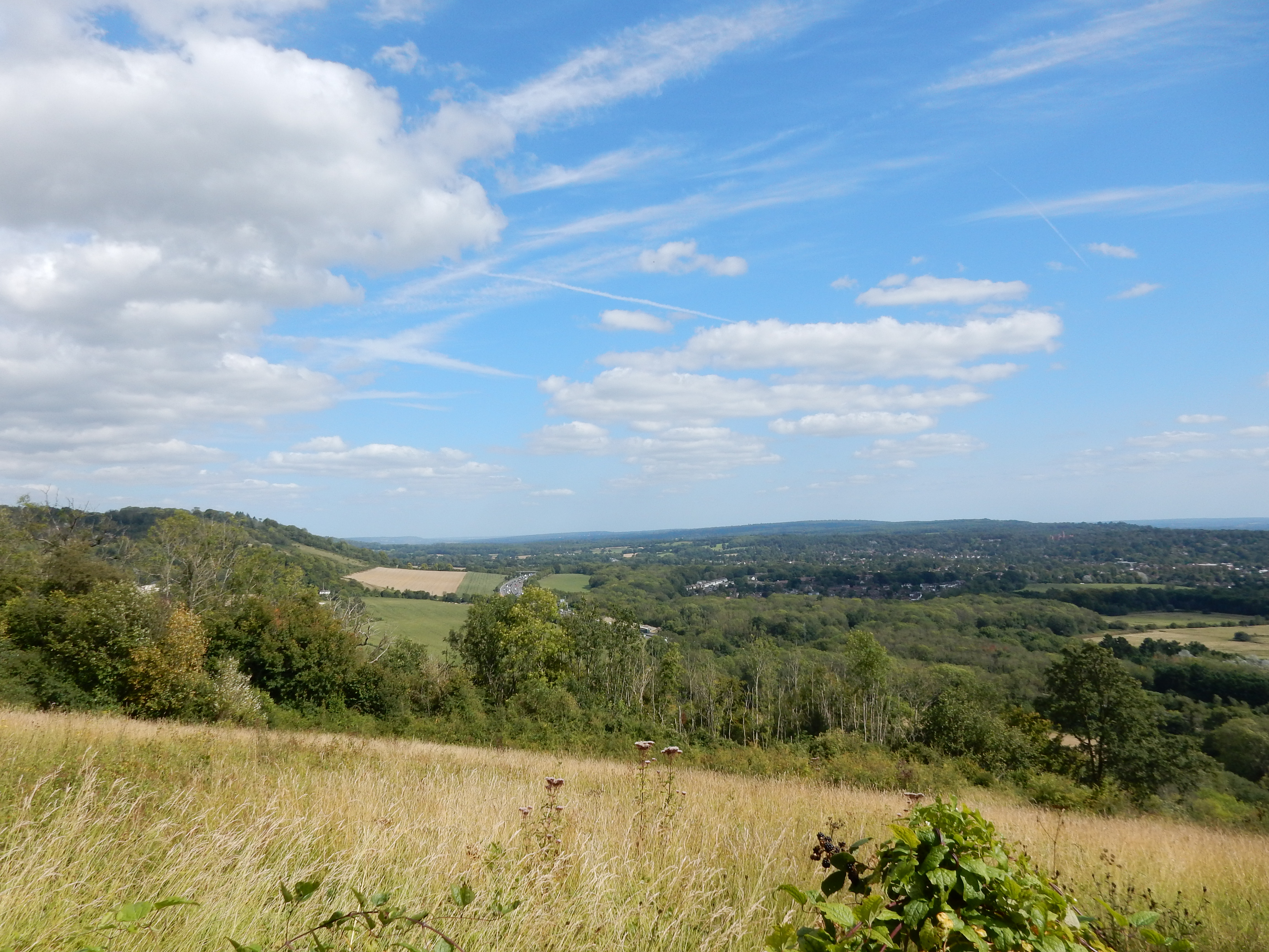
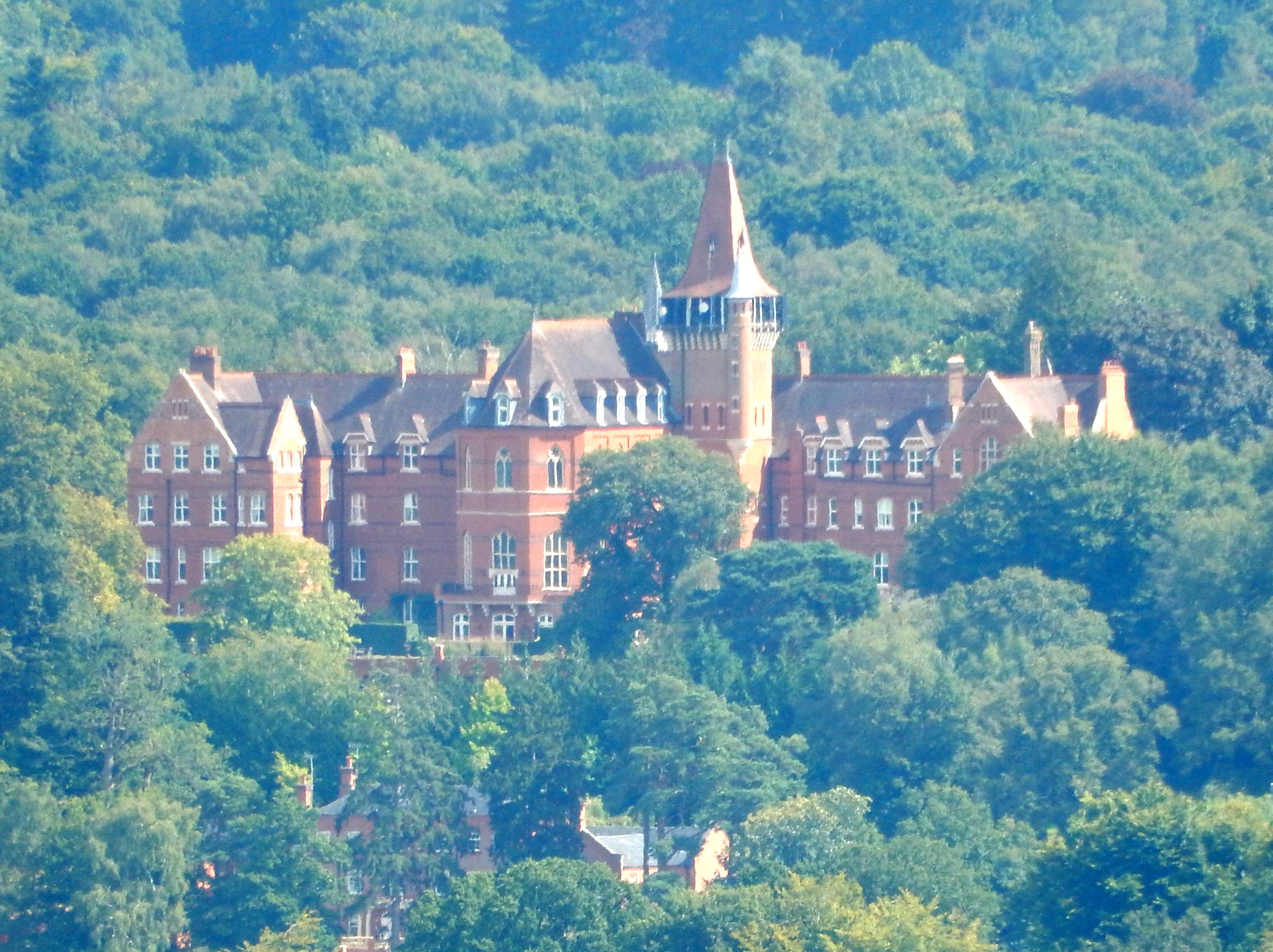
A seat at the Caterham Viewpoint tempts an early sandwich lunch. Might have gone for a pub lunch alternative at The Harrow which is only 150 yards off track. Otherwise, you have nowhere to refuel until Oxted. I got what I paid for.[5] Between the viewpoint and the A22 is more dense woodland. It's difficult to maintain your bearings, or obtain a GPS signal. Just keep your eye open for the acorn symbols. Maintain vigilence at Winders Hill for this left fork (which I nearly missed). A little further on you see this SP, where you enter Marden Park on a steep ascent. Below Gangers Hill is another viewpoint (and a worse for wear info board). Treat yourself to the sight and sound of the M25 disappearing eastwards towards Clacket Lane. The large neo-Gothic mansion you notice near the horizon at right is situated in Oxted where the Greensand Way crosses Wolf's Row into Limpsfield.

If Life Is a Bowl of Cherries, What Am I Doing in the Pits.
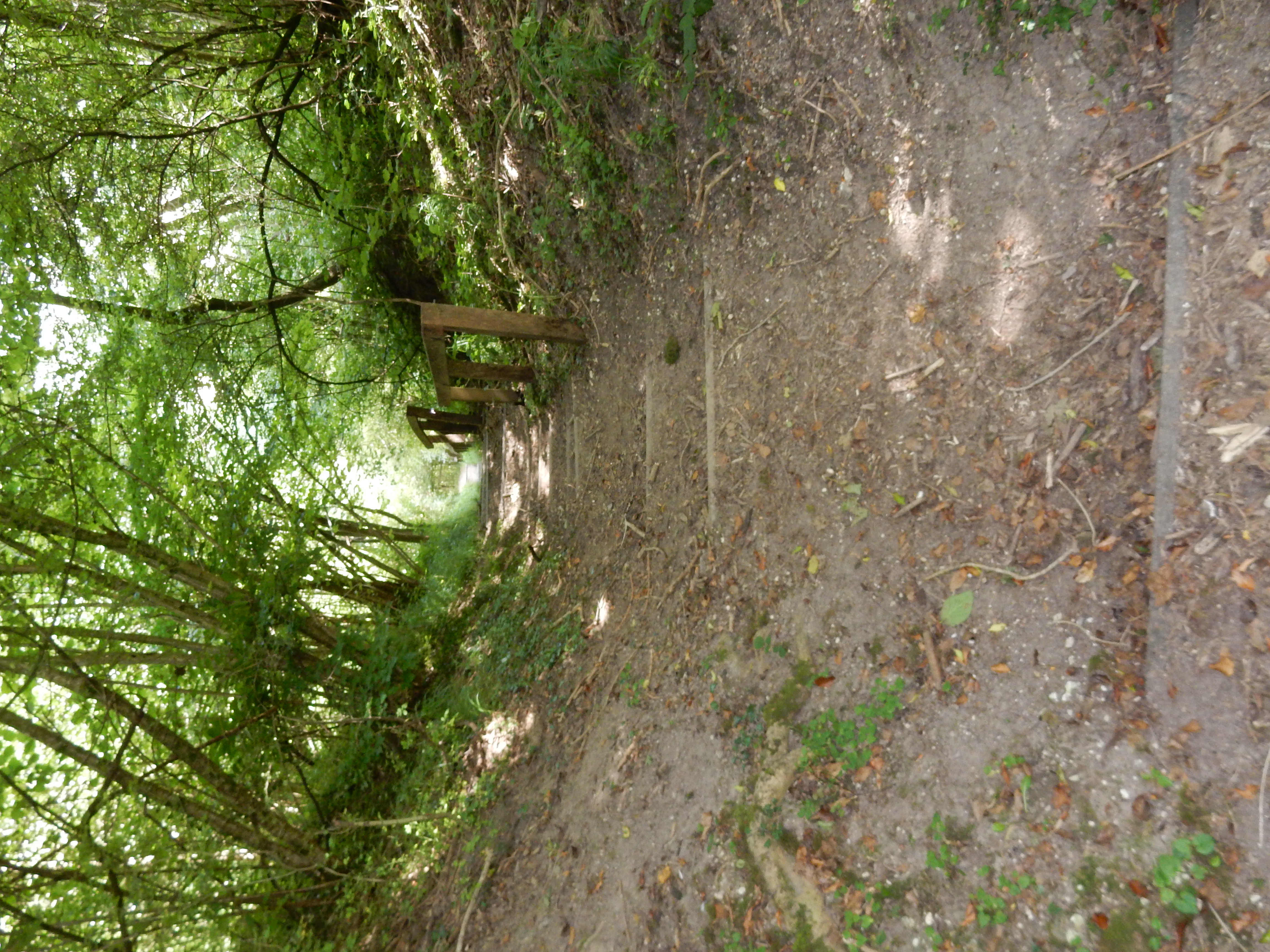
A little further on are these
steps; dropping thirty metres inside seventy horizontal. I can
recall no gradient on my walks outside Cornwall that can match
it. Most downland footpaths take a more sensible 'slanting'
direction that obviates the need for actual steps. Their
location directly over the tunnel taking the rail line
northwards from Oxted invites speculation about their past.
Speculation then surrounds the future of my neck as an intact
body part. As it happens, I fail to reach Chalkpit Lane without
incident, missing a left fork 60 metres short of it because the
SP is behind overgrowth. Two entire minutes wasted retracing my
steps 😖
Talking of Chalkpit Lane, it may appear that only 40 metres of
it are used by the NDW, but note that there is no footway at all
over that stretch - just high hedges. In addition, you are on a
RH bend round which HGV traffic is moving at speed to and from
the
quarry. My advice: keep your wits about you. A fearless walker
might use Chalkpit Lane to reach Oxted (there is a useable verge
after the bridge under the M25). If you conclude that no
alternative could be worse, then read on ...
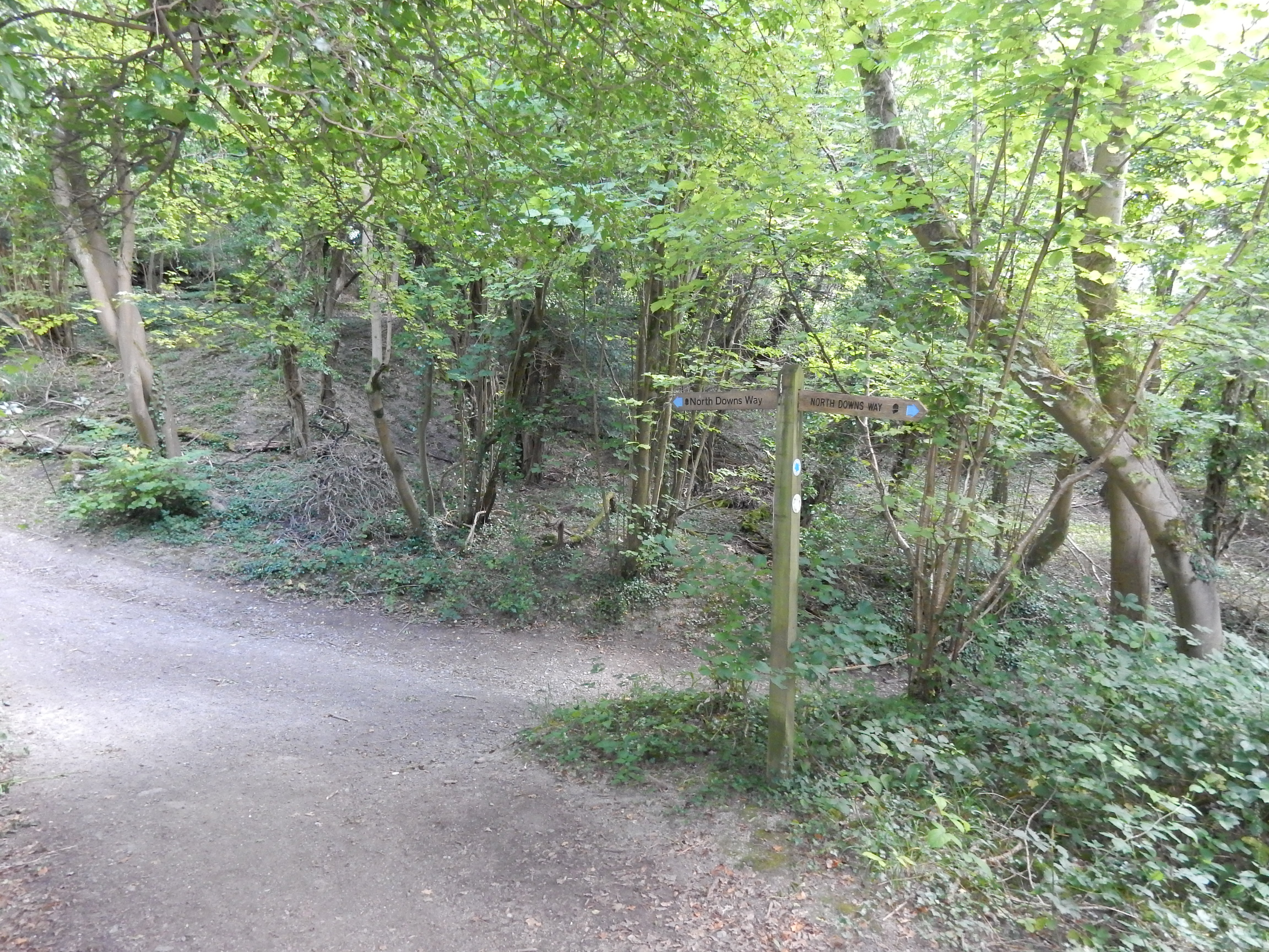
My unfamiliarity with NDW signage is exceeded only by ignorance of its fauna. Is this a seat of learning on Oxted Downs? Where you enter the next field there is another info board. Pay attention to this because it tells you how to get to Oxted. What's difficult about that, you may ask? Nothing much, provided you ignore the route that the OS planner suggests. Just after the footbridge over the M25 the OS path continues down through the large field whose south-west corner is at Silkham Road. Forget that. Although the OS prefers this shorter distance, the path was abolished years ago; it's gone and is blocked by barbed wire. Instead, follow the route marked on the OS Explorer as 'Greensand Way' (even though it is not Greensand Way) that runs to the east of Oxted and emerges in Park Road.[6] You then have tarmac the rest of the way to the station.