
Parametric data
-
Route name:
Oxted rail station to Merstham. -
This route on OS maps:
https://explore.osmaps.com/route/14692613/... . -
Distance:
9.5 miles. -
Duration
3.9 hours. -
Topology:
Point to point (westward). -
Ascent:
204 metres (mostly the long, slow climb from Godstone to Bletchingley). -
Stiles:
0 (zero). You follow the A25, obvs. -
Landmark of note:
There's either Government Golf or the Bally Borough. Take your pick. -
Feasible excursion:
Going through Mercers Park saves 1.6 miles. That is an option in dry conditions only, not this November. -
Avoiding roads:
 This score is due to an 'anomaly' in the OS route
planning app. See below.
This score is due to an 'anomaly' in the OS route
planning app. See below.
-
Footpath construction:
 Again, the score has been skewed by the OS mapping
anomaly. I believe a work-around is possible.
Again, the score has been skewed by the OS mapping
anomaly. I believe a work-around is possible.
-
Footpath condition:
Anomaly. The problem, specifically, is the
non-existence of a path section approaching Godstone.
-
Refreshments:
Sandwich from Godstone convenience store. Consume at on the Green. A bit too much breeze, though. -
Vistas:
From Nutfield Ridge, you can see across to Gatton Park.
-
Blackberries:
 If you fancy those along the A25.
Route map and notes.
The least pleasant walk all year. This was not unexpected. I finally selected an almost exclusively A25 tarmac trail to avoid sinking into mud. The downside to this strategy is the continuous entertainment supplied courtesy of Terry the Truck. Well, you know what happens to the best laid plans. It had been a terrible week, the rain just never stopped. Oh, and I got a hole in my roof as a bonus. On the Wednesday the forecast came up as 0% chance of rain, so I hurriedly lept onto the OS site late that day, and accepted the first route the app proffered.
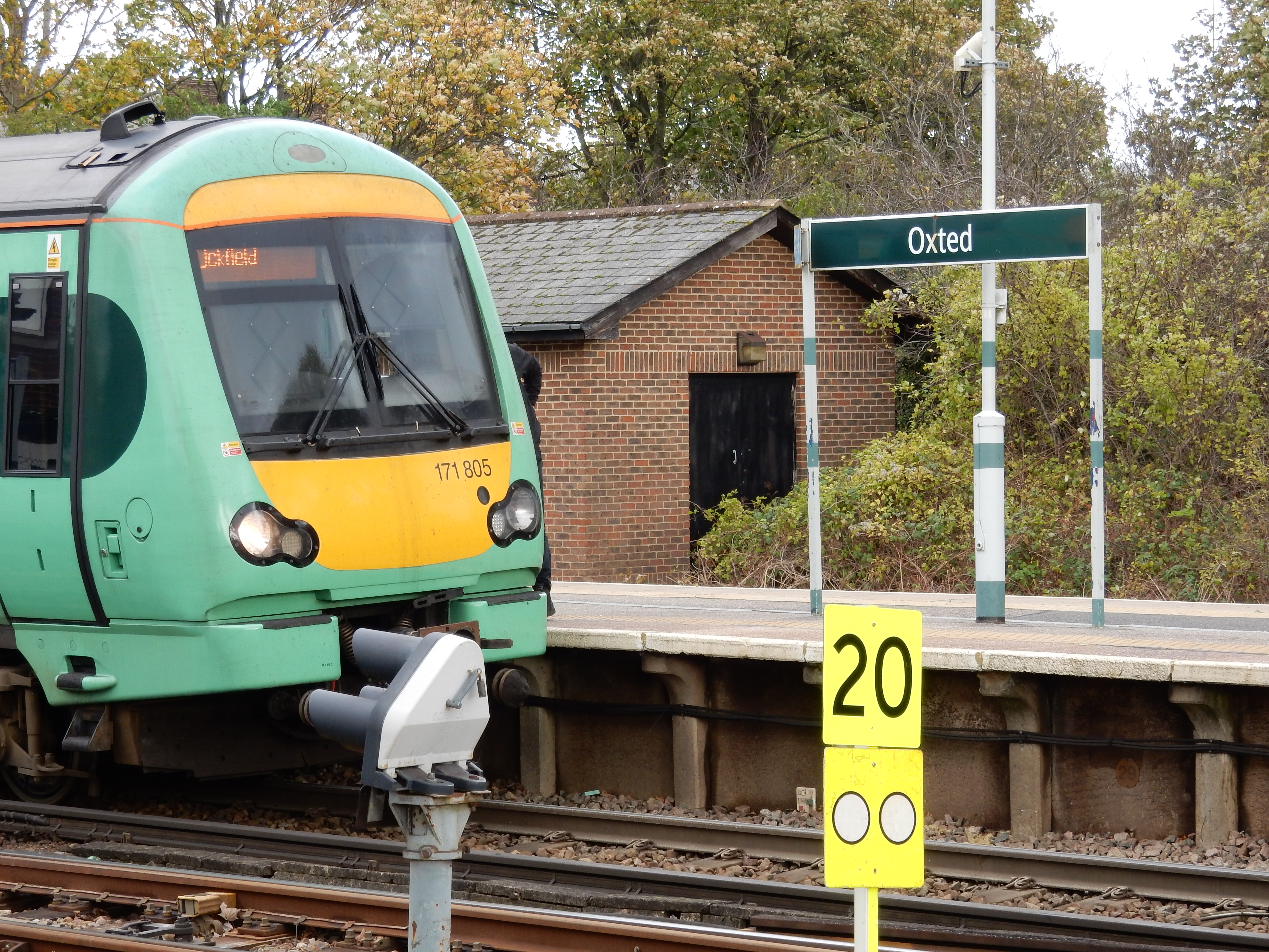
As I leave the house, zero percent hits me in the face. What? This isn't the start to the day we were promised last night. Grr. In automatic mode I go up to Merstham station for the usual tedious train via East Croydon, and overlook the 410 bus to Oxted from Redhill. Oops.
Never mind. Now, credit where it's due. I couldn't myself see how to head out of Oxted on the A25. The first stretch does not appear to have a footway along it. The Ordnance, however, noticed that you can dive down through Old Oxted and connect with a footpath running along the embankment to the south. This, furthermore, is tarmac; so you are in business for a walk in the wet. We're good to go, aren't we? All is well to begin with. Yes, the traffic roars past at high volume but, hey, on tarmac my progress is so rapid that I won't need to put up with it for long.


Here we are already at the roundabout where the A25 crosses the A22 ⅔ mile short of Godstone. Straight over, surely? No, the OS has other ideas. Frankly, I'm a bit puzzled what it wants because the bug where the compass part of the app fails to respond when the screen switches from portrait to landscape mode is giving me grief. I complete about five laps of the roundabout before that is sorted.
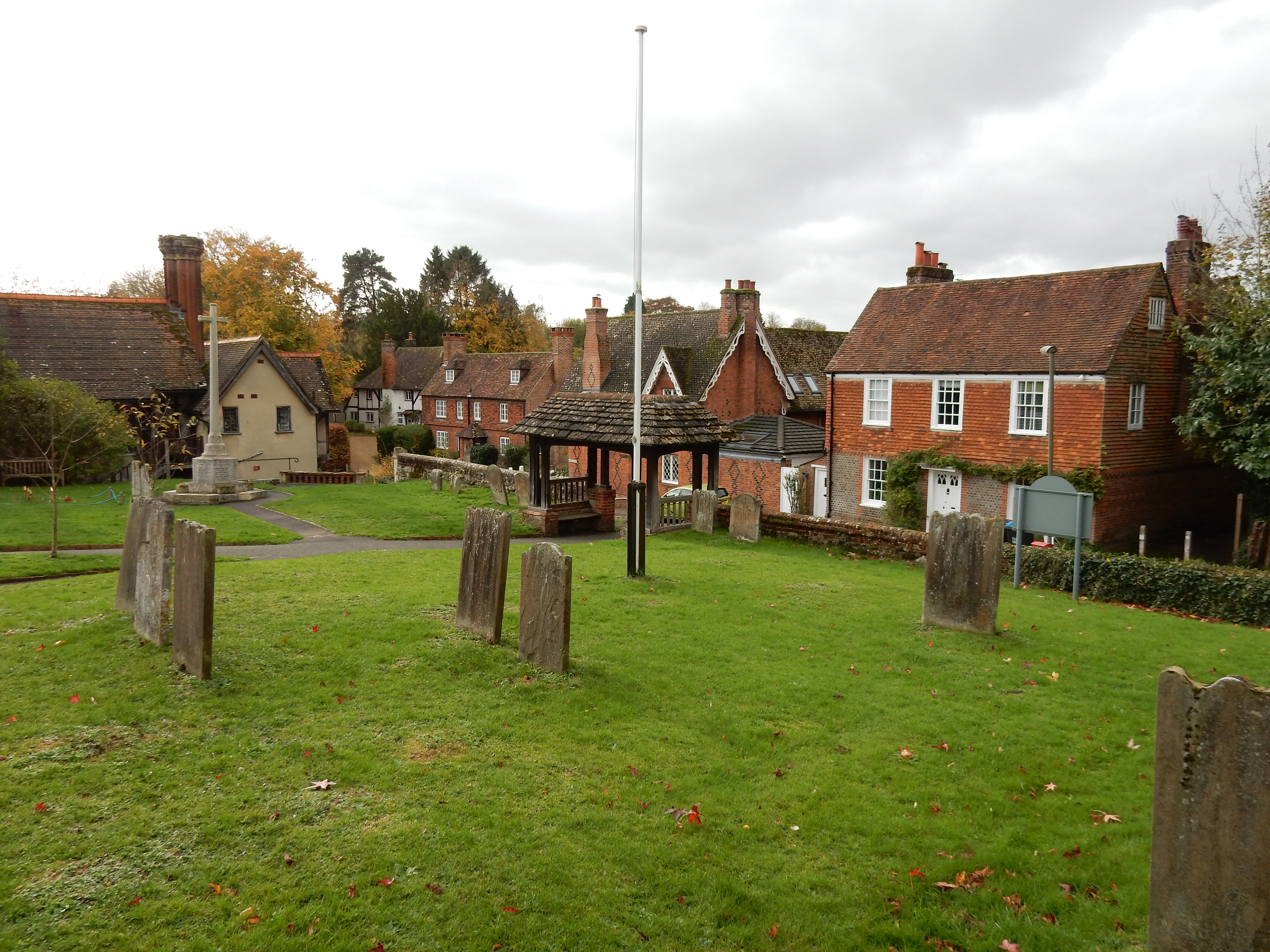
Eventually, the OS master plan reveals itself. We're going south on the A22 for about 120 metres until a footpath to the right gets us into Godstone past the church of St Nicholas. This is thinking out of the box, but might save about ½ mile on the A25 straighforward. Although deeply suspicious of this innovation, I decide to humour the OS. Bad mistake. Never imagine that your sat nav is always smarter than you.
Problem Number One is immediately apparent. There is no footway on the A22 here. The verges are OK, but that on the left looks the better of them and means, of course, two crossings of the A22. Prob Two is that 120 metres comes and goes without any sign of the path promised. OK, head back toward the roundabout to see if I missed it earlier. Nope. The OS wants to turn at 120 metres. Fine. What is there at this point?
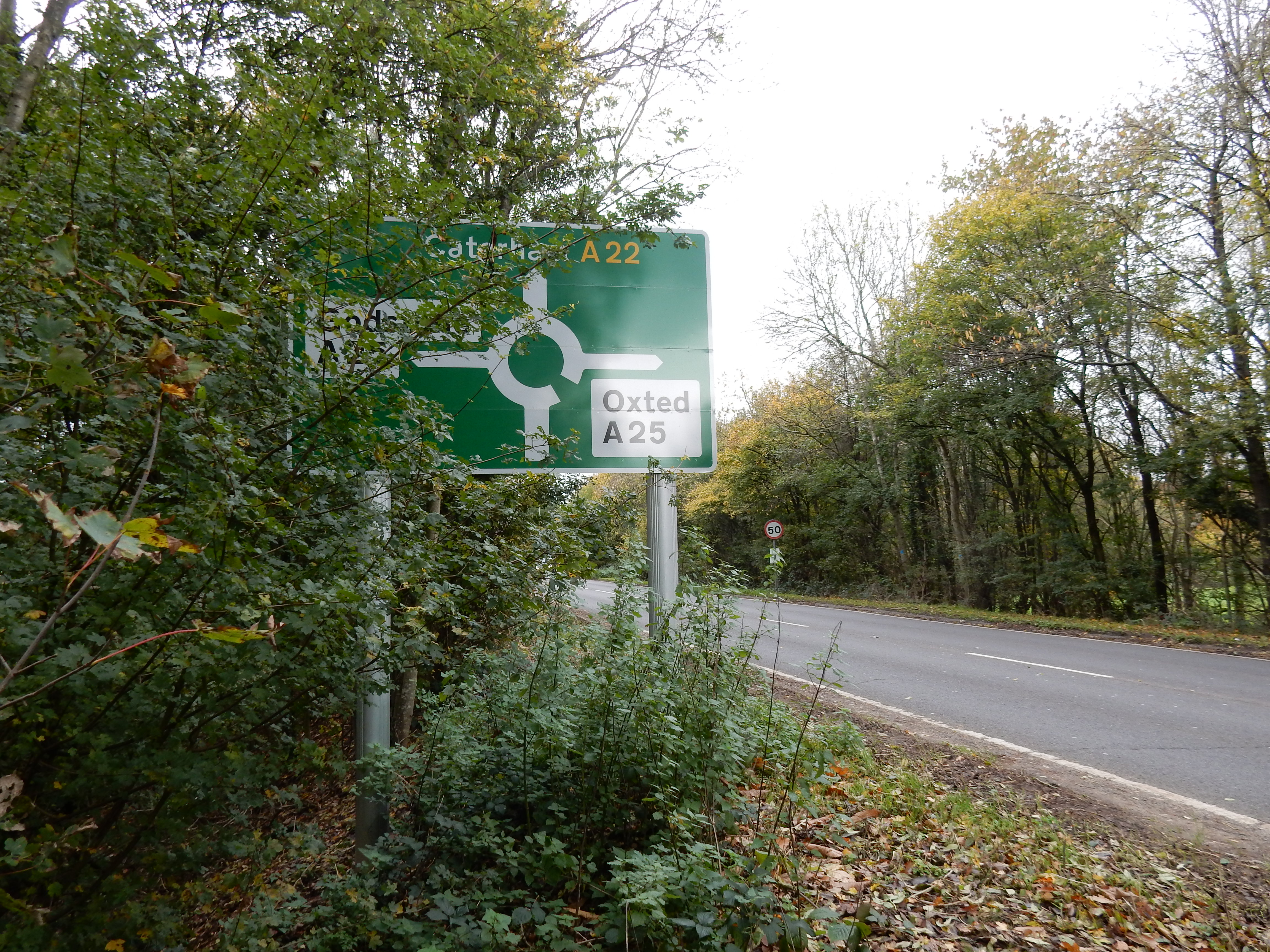
For starters, the A22, of course. Then a metre or three of saplings, brambles and nettles. After that, a fifteen foot high downward slope of about 45°. At the bottom, a wooden fence too rotten to climb over. Then a layer of wet leaves over a ditch that is only just narrow enough to jump across. Hollywood is shortly to release Indiana Jones and Footpath UK006/129/20 😨 Next time, I go across the lot on a zip wire.
Well, if your neck remains unbroken, then here is your reward: the path you seek. Well, the path the OS seeks, anyway. A dirt one, obvs. At least it takes you to Godstone, as promised, even if you do there appear to have been dragged through a hedge backwards. Don't expect a warm welcome at the White Hart looking like that. If you happen to know that the path actually hits the A22 at 260 metres south of the roundabout then may I suggest that you tell it to the Ordnance? Anyway, it would have been no use to me on the day.

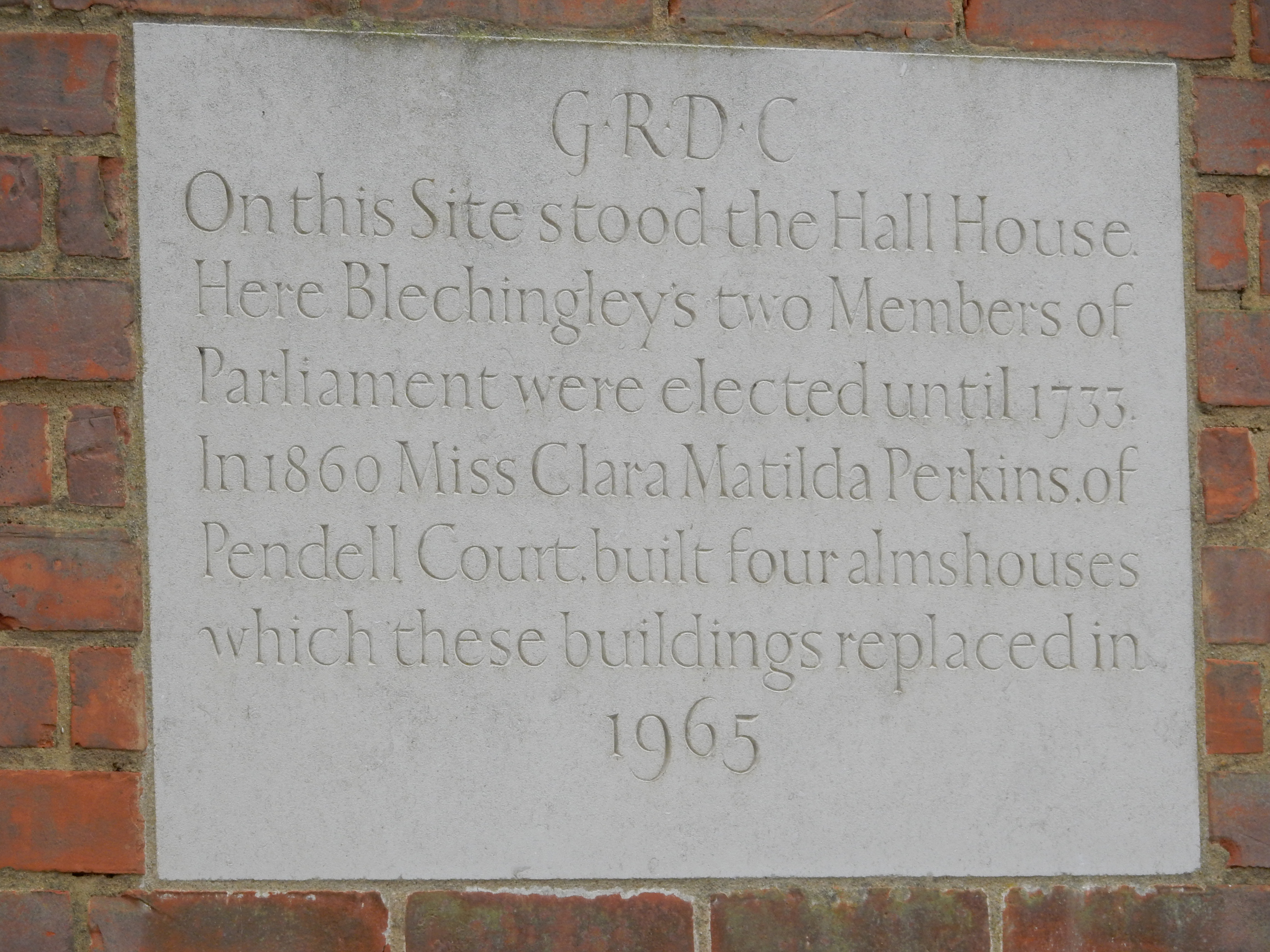
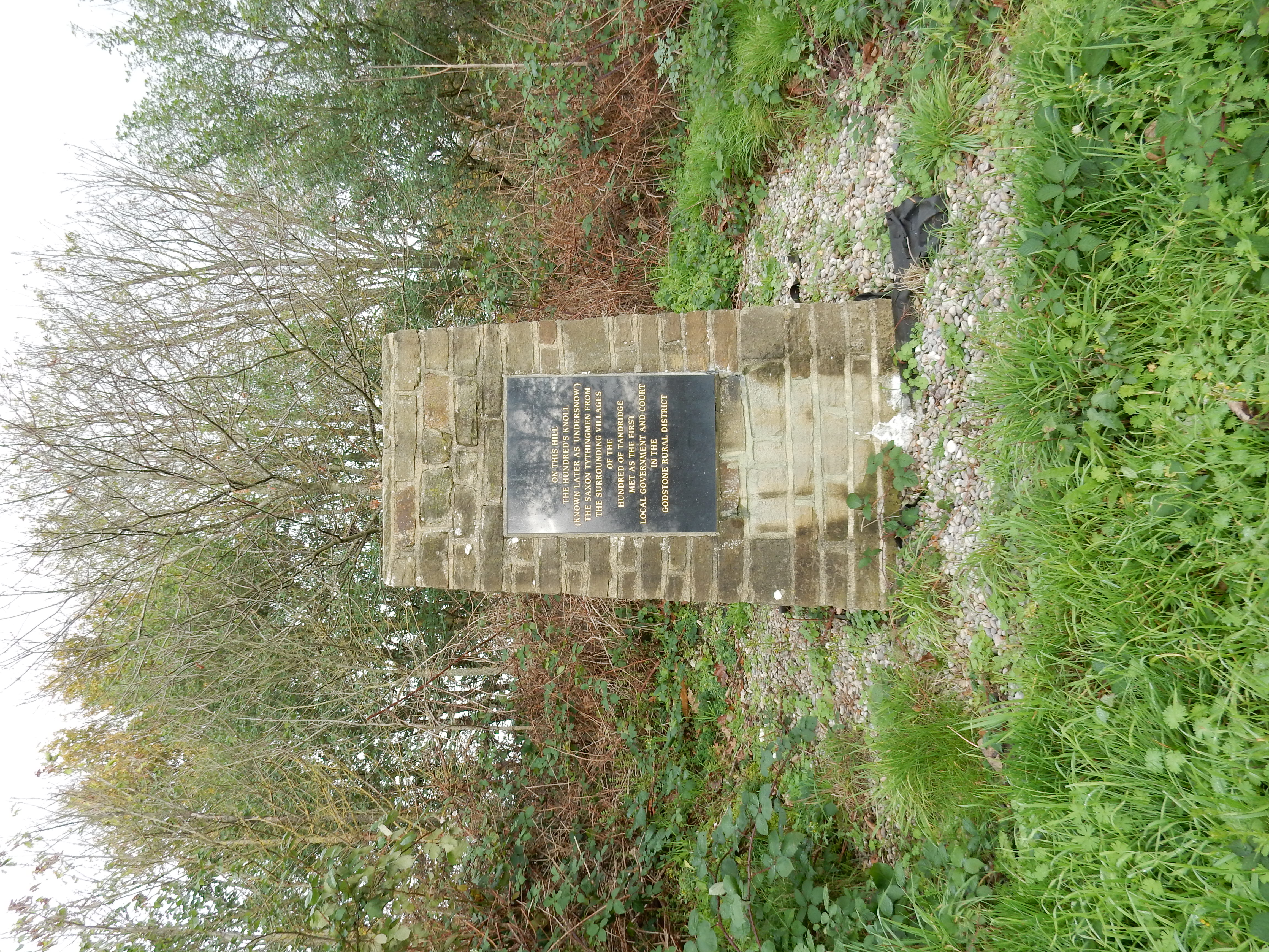
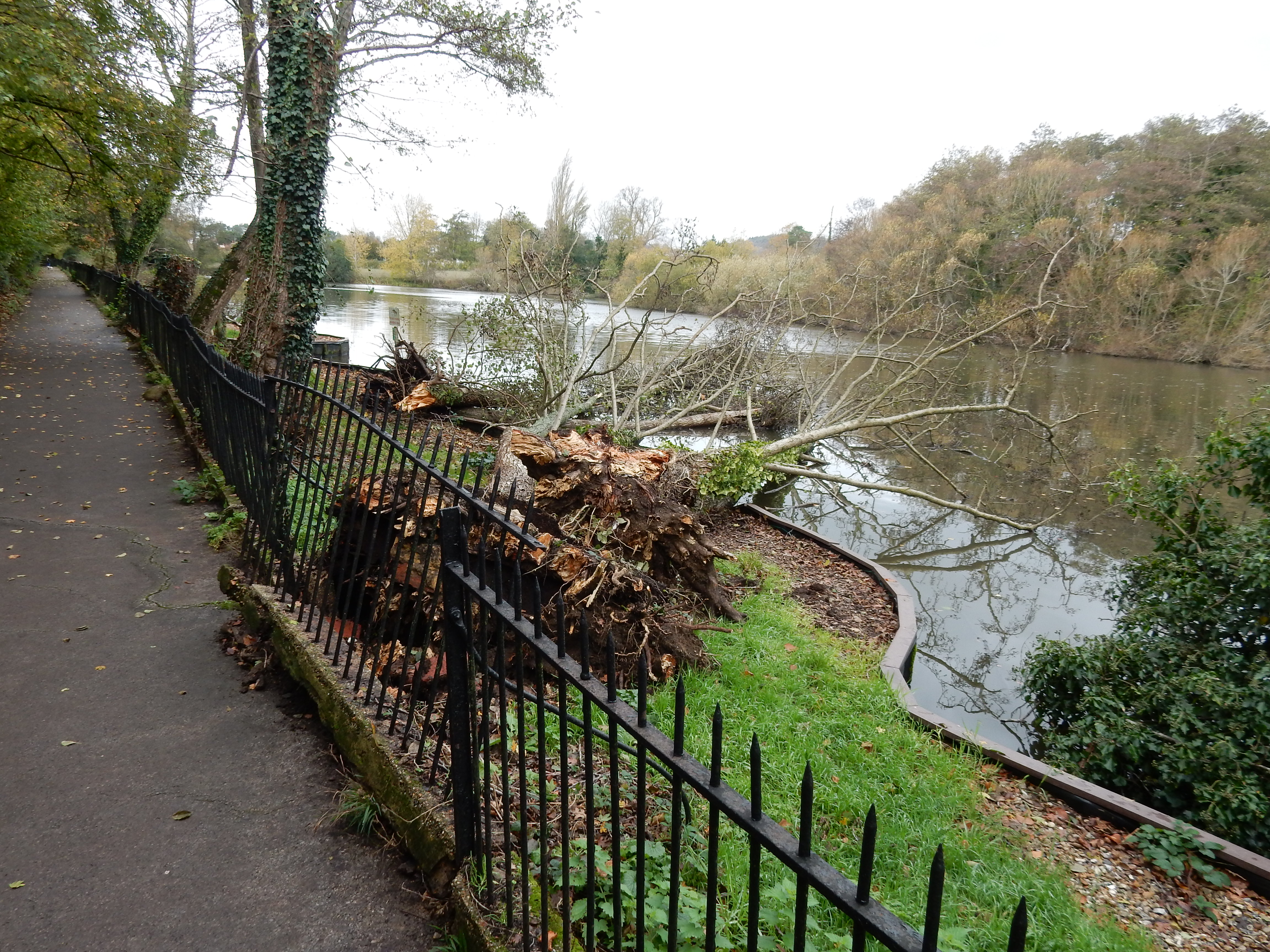
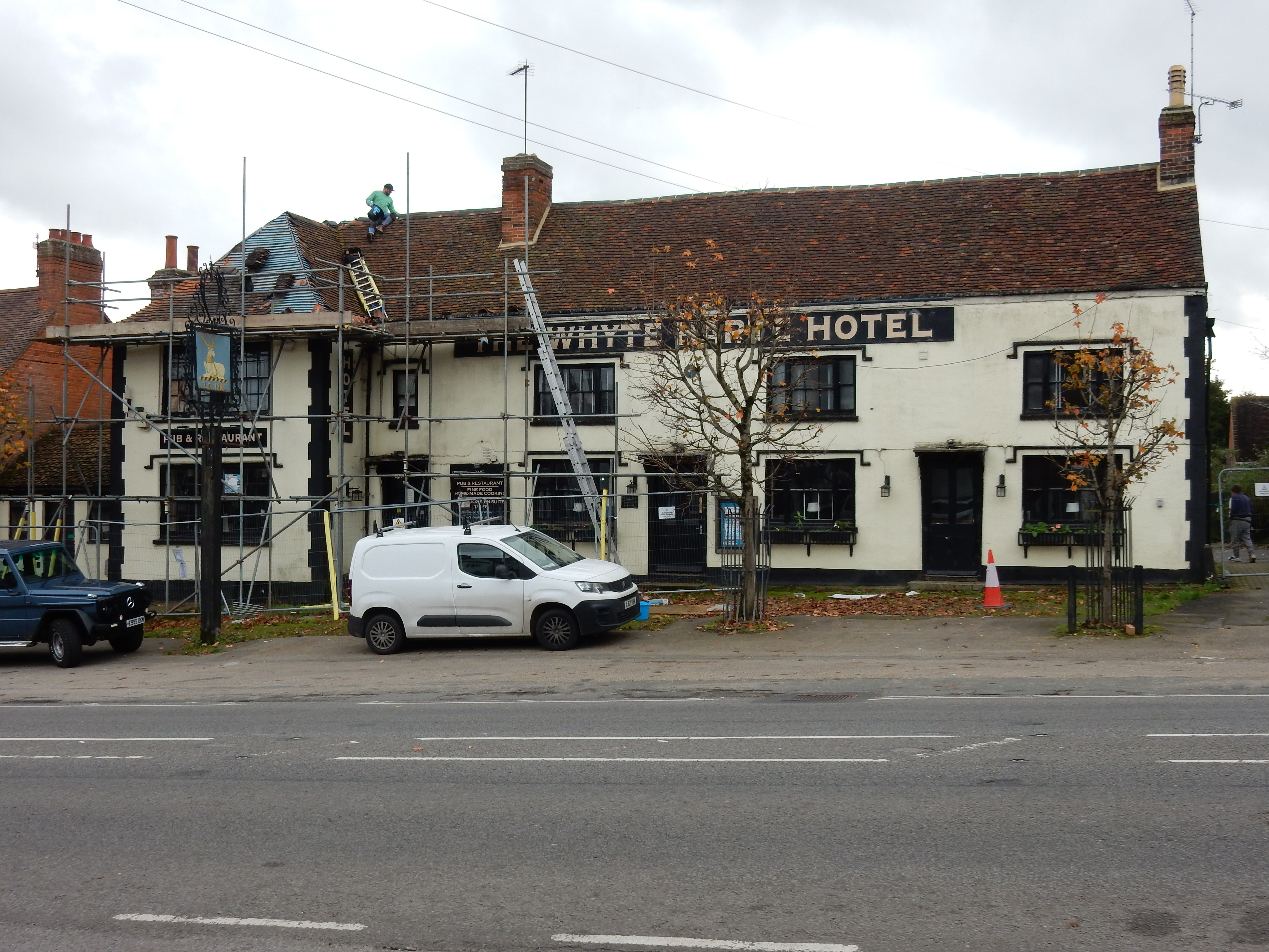
This is my second walk past Bay Pond in the last three weeks, but I don't remember the tree being down earlier. There's now a lot of talk in Egypt about climate change. After a bite for lunch in Godstone I feel just slightly revived. The 'moderate breeze' promised yesterday proves to be only slightly short of a howling gale. Am glad that I'm not completing repairs to the Whyte Harte in Bletchingley. The scaffolding has been up nearly two years and the whybe site is still down. Reopening as a pub? Fingers crossed. Now we've done the monuments to local government, here's Parliamentary Bletchingley, like Gatton, at one time a Rotten Borough.
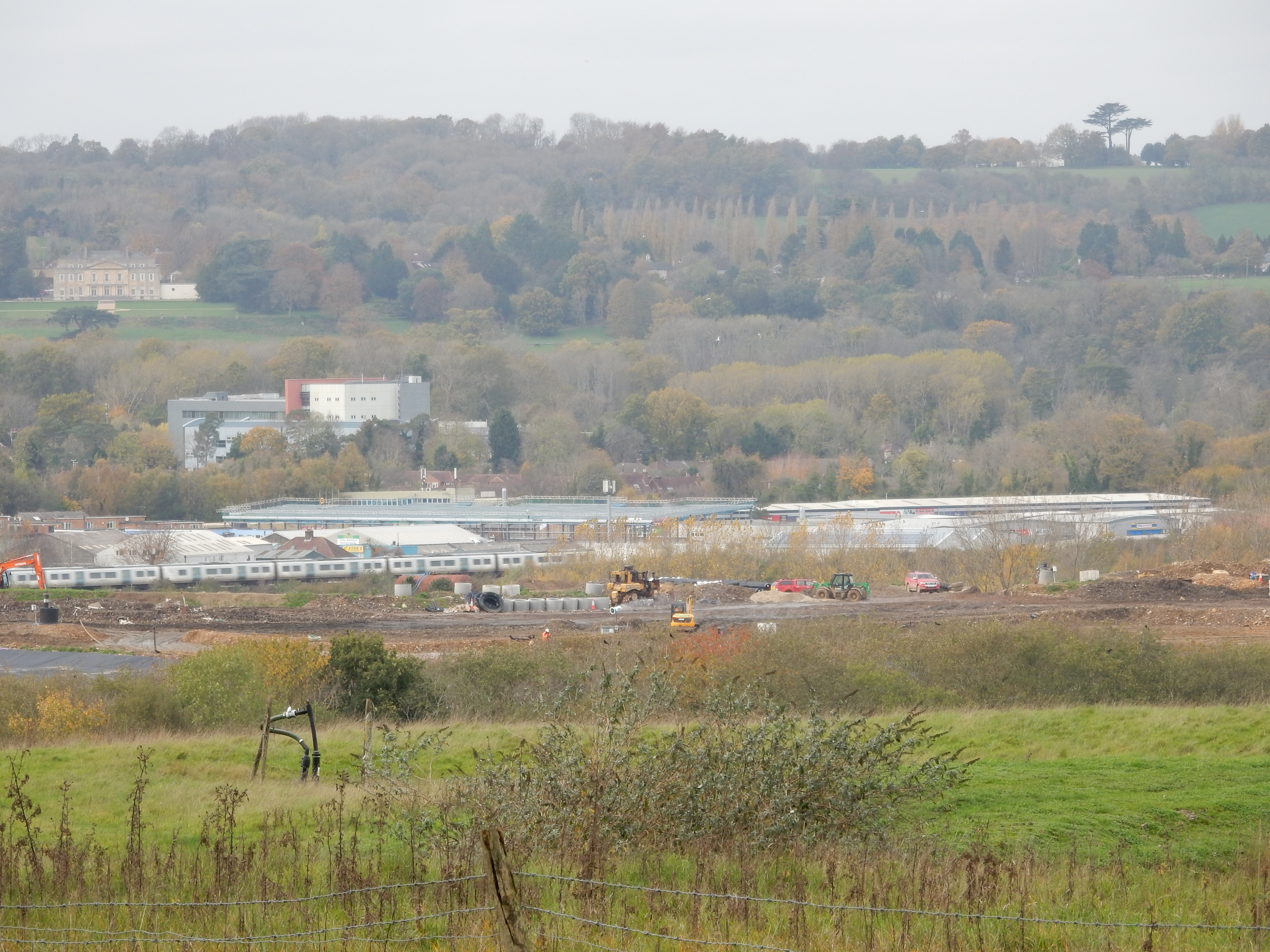
Even before starting this walk, I dismissed the OS suggestion of using Mercers Park. You see, sailboards are common there. Wind and water are certainly abundant today, and there's a clue in the name of the area: Nutfield Marsh. As a rambler, Shank's pony is my prefered mode of transport; one under a decided disadvantage during November at Mercers. There's nothing for it but to continue along the A25 to the centre of Redhill and reach Merstham that way. This adds 1.6 miles to the walk 😒