Parametric data
- Route name:
- StAlbans
- Start point:
- St Albans.
- End point:
- Stevenage.
- Synopsis:
- A medium distance route offering a variety of walking surfaces and scenery. Less noise from the A1(M) than the recent stroll from Hatfield to Stevenage. The northern half could be soggy in winter. Stop-off at Shaw's Corner.
- This route on OS maps:
- https://explore.osmaps.com/route/25949763/ ...
- OS Explorer sheet ref(s):
- 182 and 193.
- Distance:
- 13.4 miles walked, 11.7 miles flown.
- :
- 5.9 hours.[1]
- Ascent:
- 209 metres.
- Stiles:
- 0 (zero).
- Landmark of note:
- Shaw's Corner.
- Feasible excursion:
- The Alban Way might be tacked on to the start of my Hatfield walk, creating a fourteen mile walk suitable for winter.
- Waypoints:
- Sandridge, Nomansland, Wheathampstead, Ayot St Lawrence, Kimpton Mill, Crouch Green, Rustling End, Langley, Norton Green.
- Fuel:
- Coffee and cake from the Valley Road filling station.[2] Pack lunch at Shaw's Corner.
-
: -
 15°C,[3] ☀️
Perfect walking weather, including a nice breeze.
-
Avoiding roads: -
 There are several miles of in-road walk, but these are
nearly all private drives or barely more than farm tracks.
Some care needed.
-
Footpath construction: -
 This could be an issue during winter or spring. Today, it is
not.
-
Footpath condition: -
The driest March for 60 years, apparently. Not a square cm
of mud on the whole route 😀
-
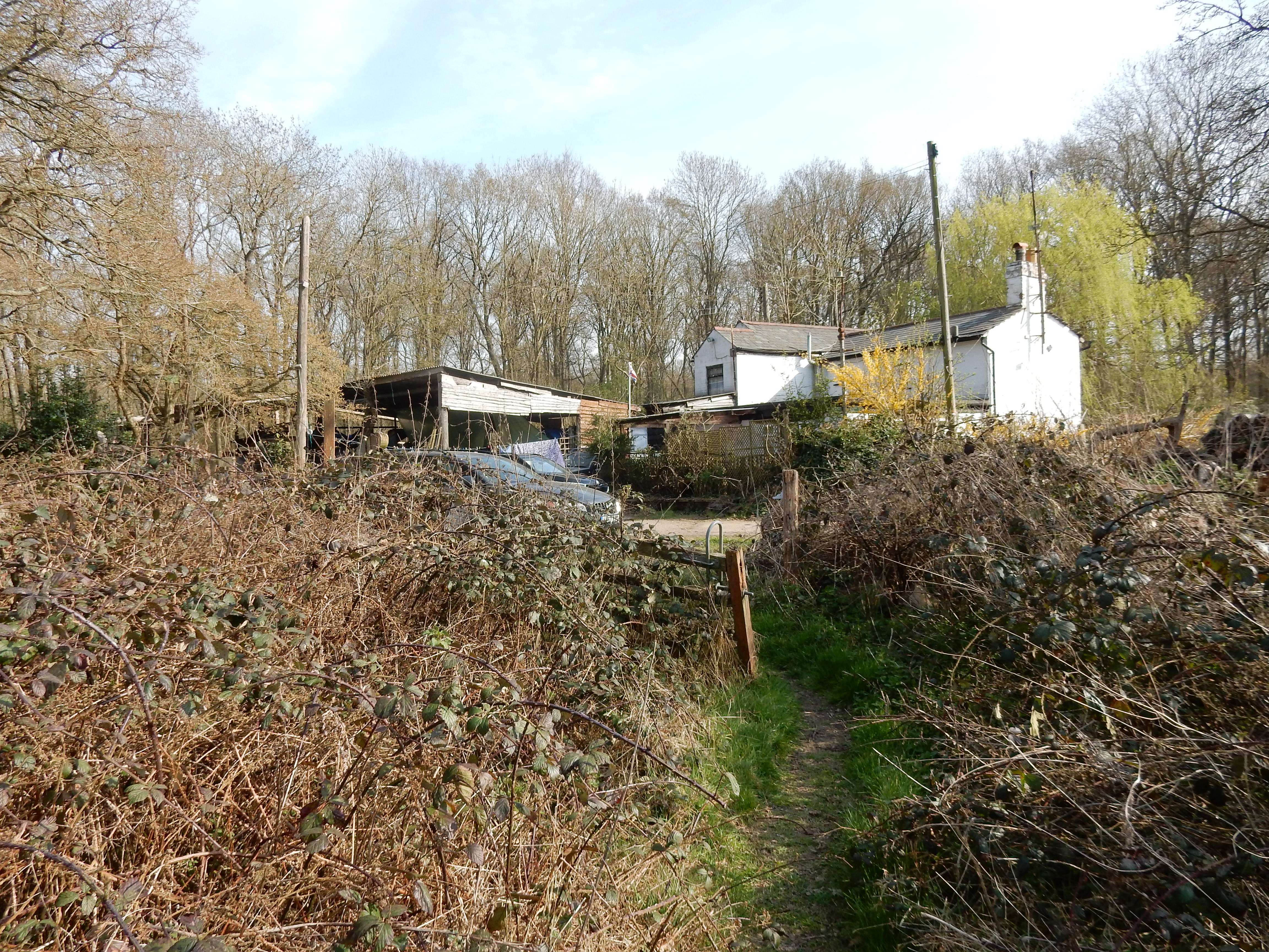
Vistas: -
 [4]
Blackberries:-
Not as rich as you might expect. Too early anyway.[5]
Route map.
Walk notes.
Beware of false knowledge; it is more dangerous than ignorance.
It's also a bit risky to be doing it in brand new walking boots, but I only have a couple of months to break them in.[7]
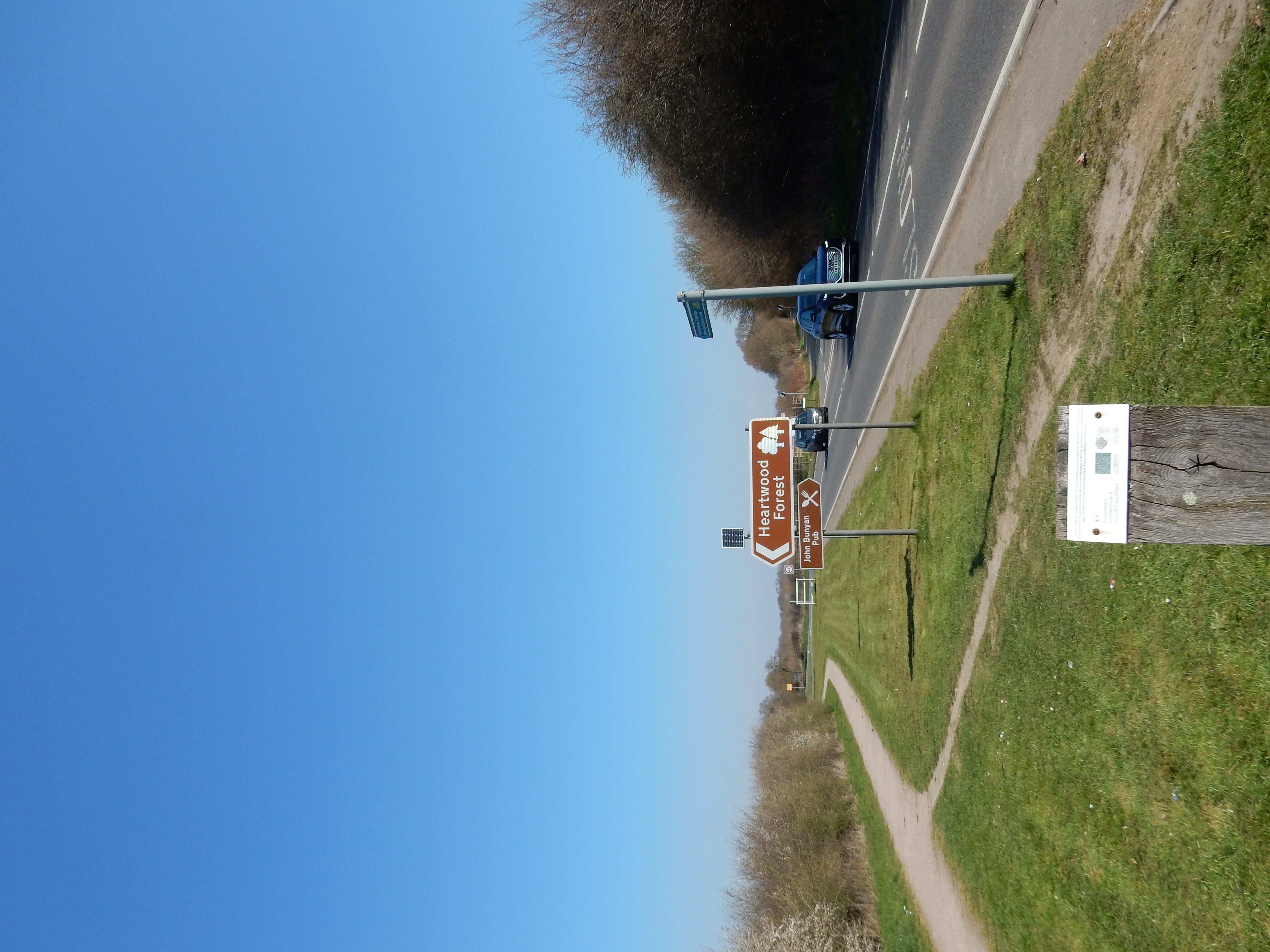
AFAIK, this is my first visit to St Albans. It's not yet clear that I have missed anything, because 200 yards down Victoria Street I turn northwards through almost three miles of suburbia. This is not unusual for one of my walks, but I'm doing this one in the hope of more countryside. There's an info board in Sandridge Road if you are interested in the history of Verulamium. The OS route planner produces a reasonable route overall but, as it heads towards Sandridge it goes off-road on one of its scenic excursions. I'm sure Jersey Farm Woodland Park is picturesque and peaceful, but the B651 is quicker. Anyway, freedom from the fringes of St Albans occurs as you pass Heartwood Forest. You then get to enjoy new BLA almost until you reach Wheathampstead.
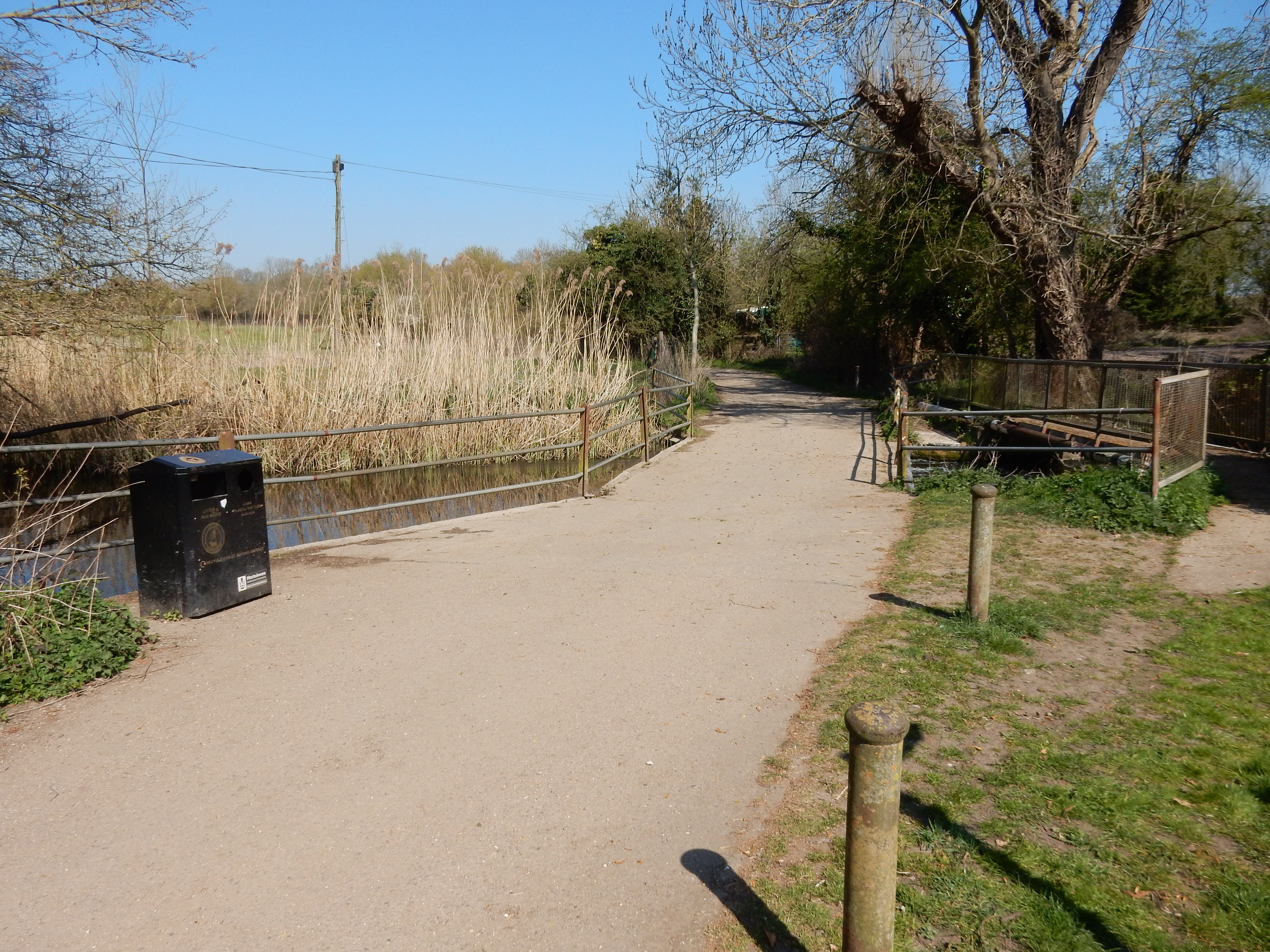
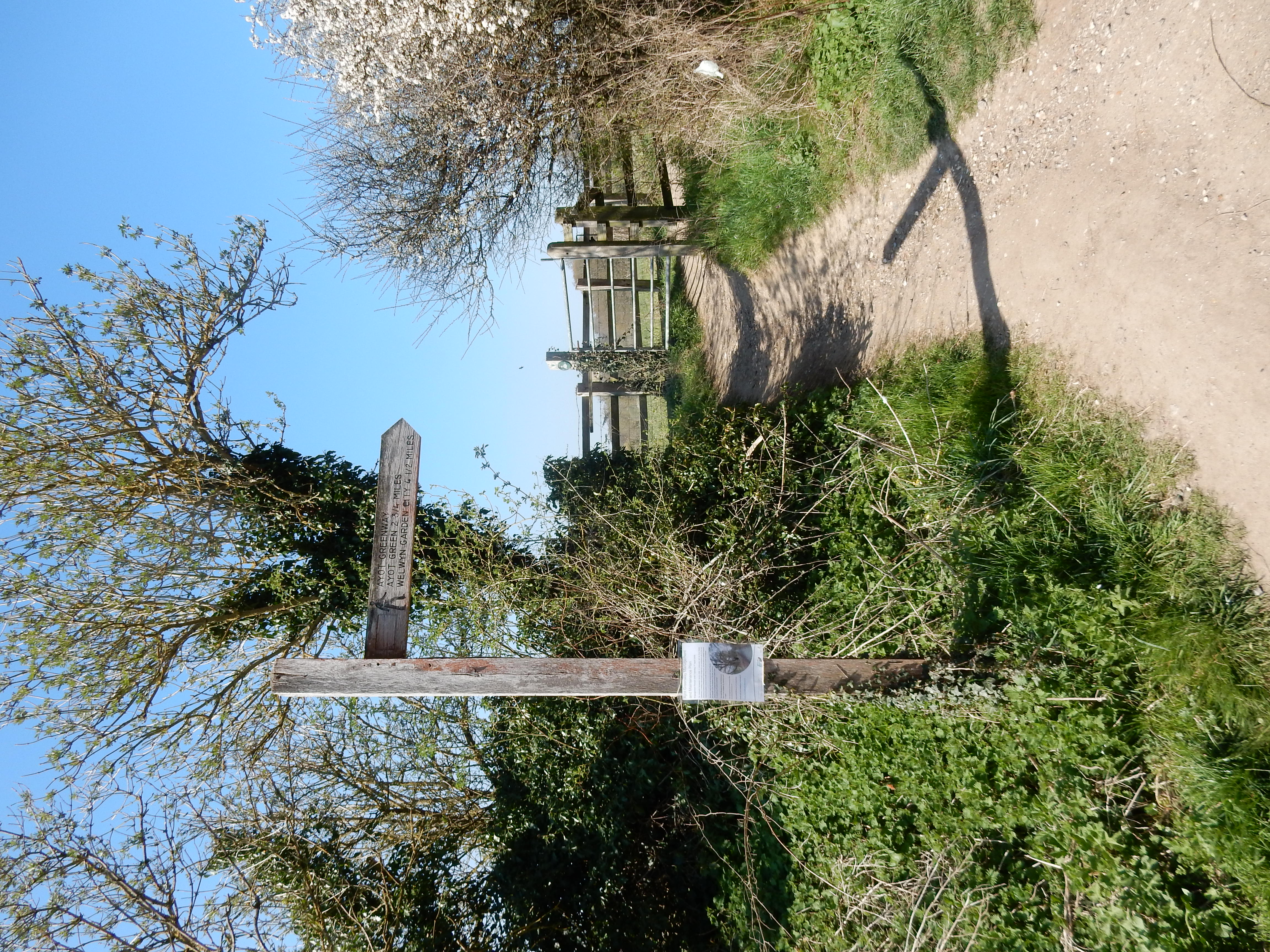
You there cross the River Lea using a bridge barely higher than the river. If the 2009 Google Street View image is still available then you will see the bridge actually below the river level. A slightly disconcerting crossing. You are here negotiating the 194 mile Hertfordshire Way, says the OS. Being a meandering, circular route, inconveniently far from my usual stamping grounds, this is not entirely to my taste, but sections of it seem worth investigation. The finger post in Sheepcote Lane, however, says that you are on the Ayot Greenway. This disused rail line walk had to be diverted southwards to reach Wheathampstead after the B653 was built. Adding to this confusion is the Wheathampstead North Loop. Don't worry; your legs know this stretch simply as a steepish climb uphill from the Lea Valley. Then, 5.8 miles from the walk start, you cross Codicote Road onto your first proper dirt path. The Hertfordshire Way turns west, leaving you to continue up Bride Hall Lane for a mile. There is no footway, and the verges inconveniently disappear at bends, but the traffic is reasonably light.[8]
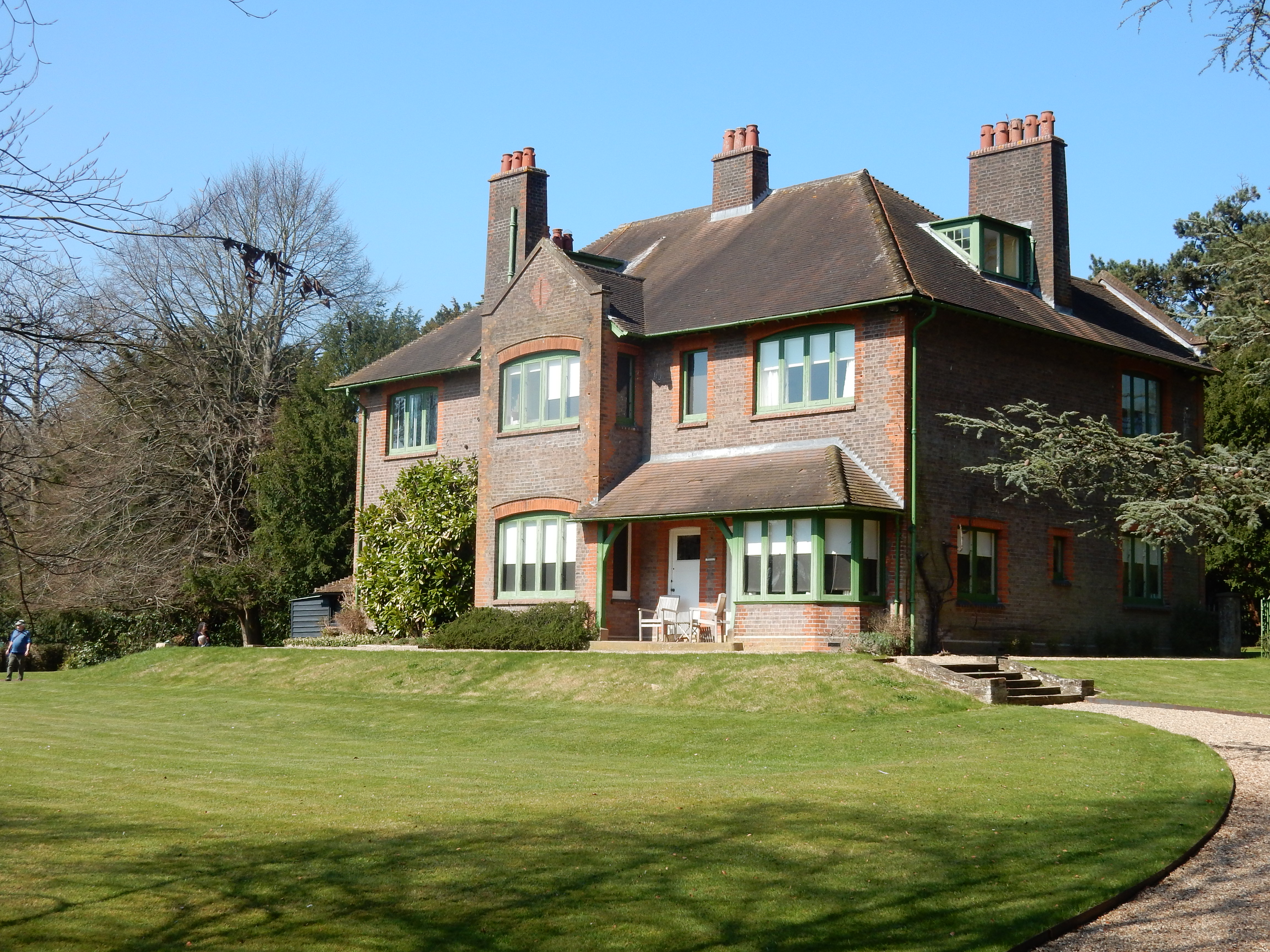
I arrive unscathed at Bibbs Hall Lane. This was planned by the OS, not me. Its decision is of note because, 90 yards up the lane is Shaw's Corner. The name has been familiar to me since I was given Major Barbara to read for 'A' level in the early '70s. By then, his popularity was already much diminished and I subsequently read no further works by him.[9] Is Shaw's decline deserved? The dilemma described in Major Barbara finds an echo in several shouting matches taking place today; more points being awarded against the partial view Shaw took. Well, regardless of Shaw's merits as a writer, I rest my legs and consume my lunch on a seat in his garden. A ½ hour so pleasant that I forget to purchase additional water for the remaining six miles. Dohh 🥵
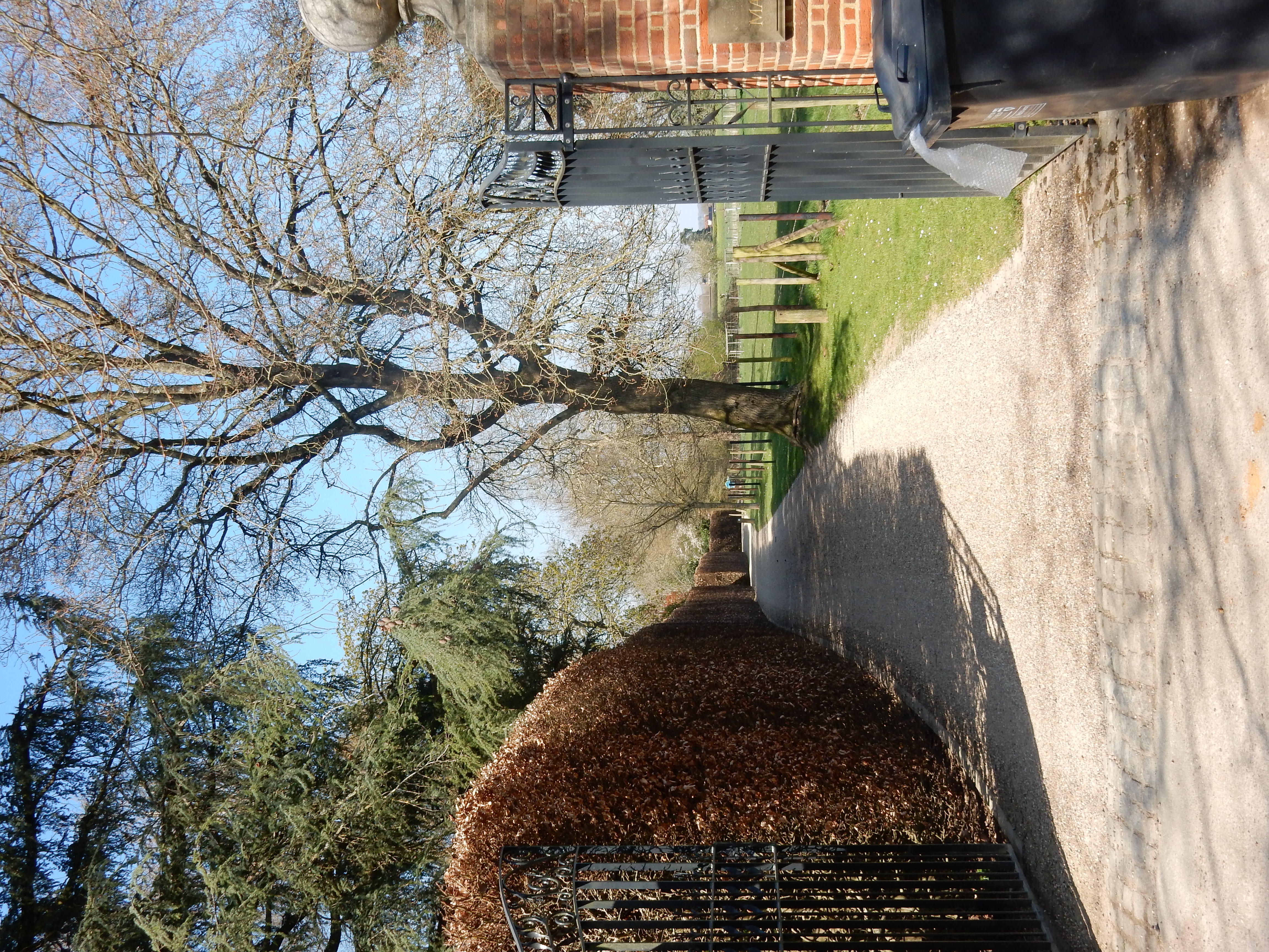
In short order I make another mistake by striding too far down Hill Farm Lane. Backtrack and turn through the impressive private gateway into Ayot Park. At the wayside sale of Park produce I pick up a jar of tomato and basil pasta sauce, but leave the mint sauce.[10] The navigational errors which plague me continue with another missed left turn, descending Tanyard Lane instead, costing me ⅓ mile.[11] Never mind, compass calculations sorted out, I cross the River Mimram at Kimpton Mill and begin another long slog upwards from the valley bottom. Think I'll take a sip of wat ... rats. Thereafter comes another mile of in-road walking. Same deal as before except fewer hedges making it difficult to see oncoming traffic.
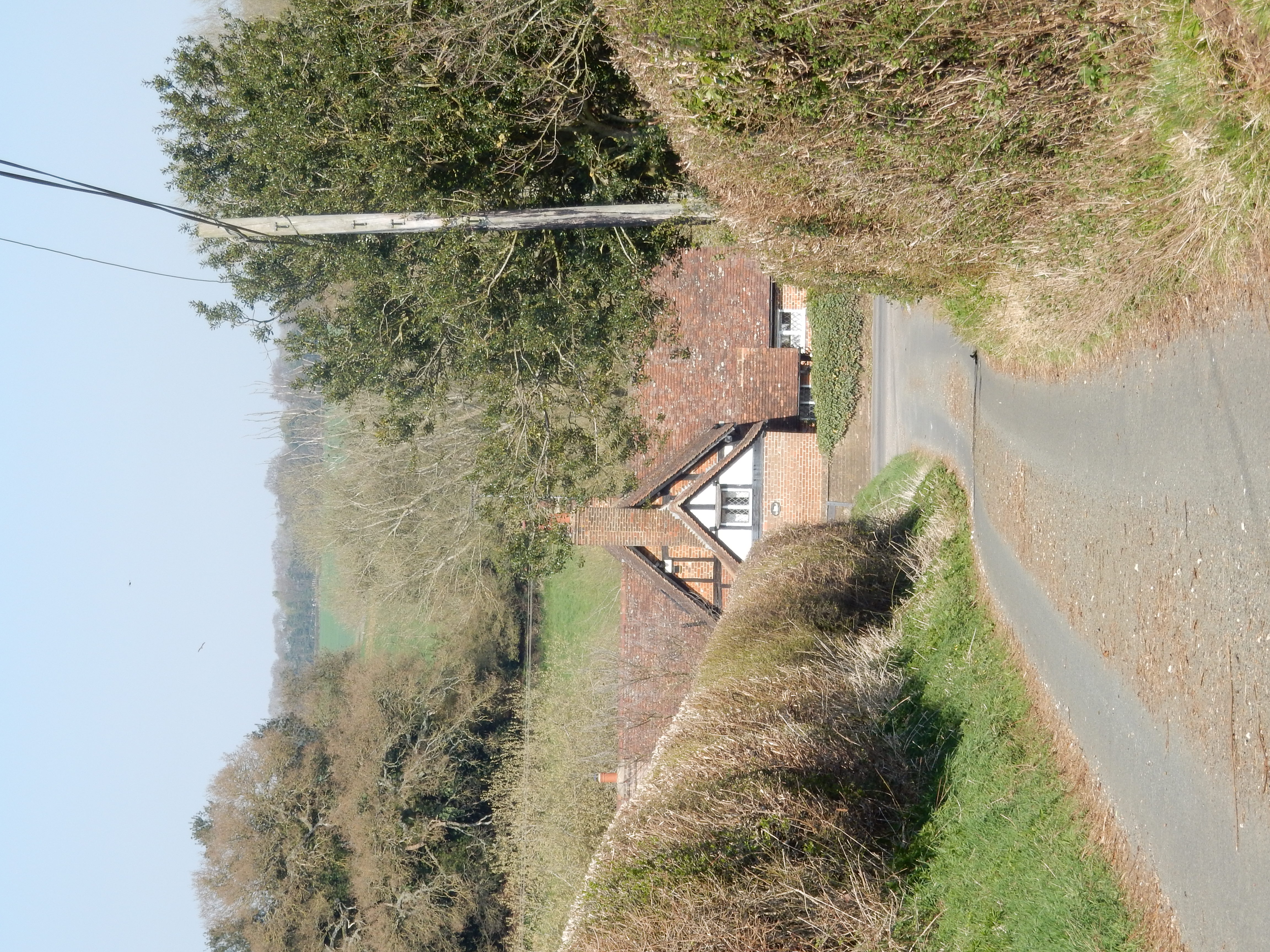
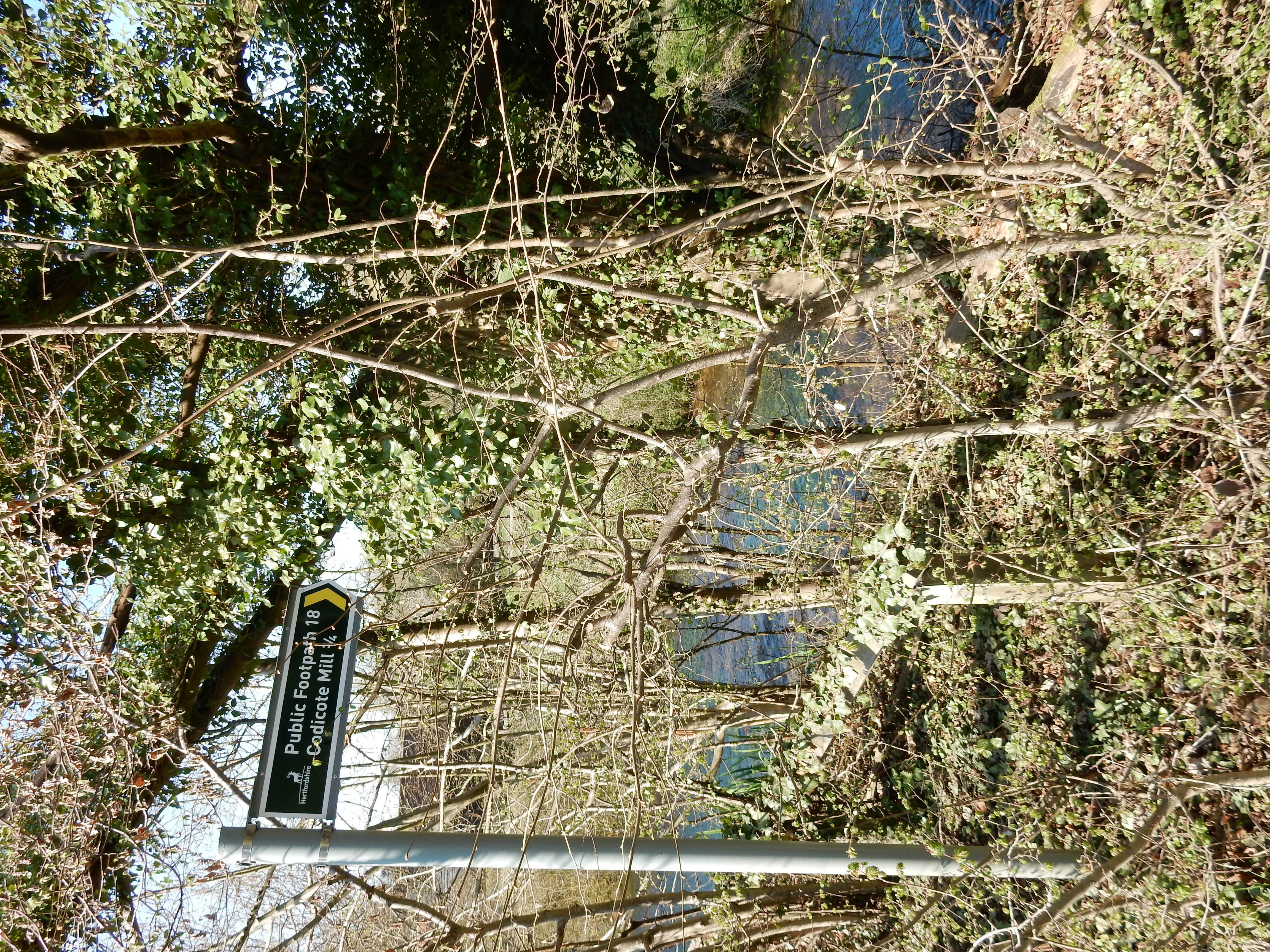
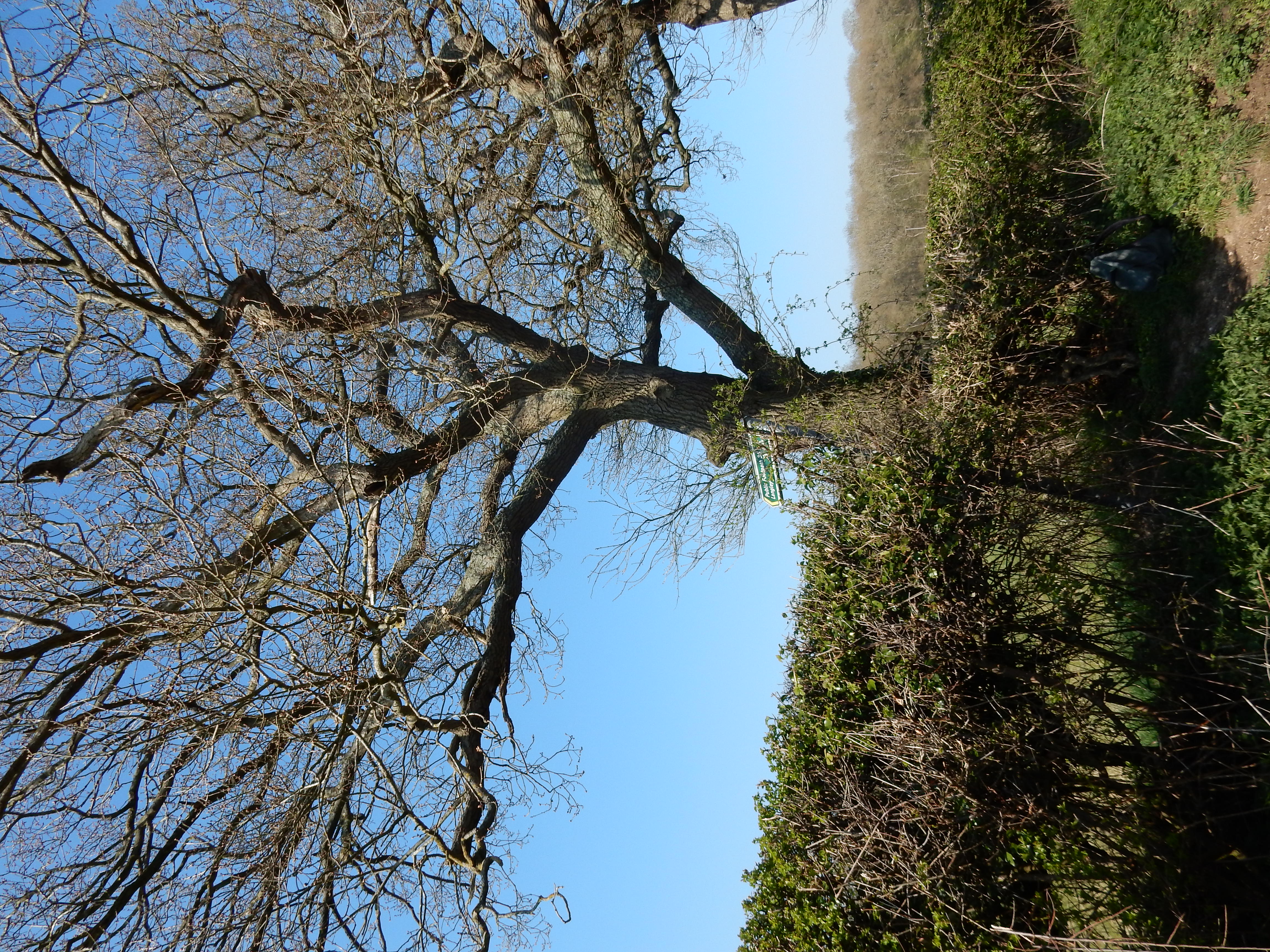
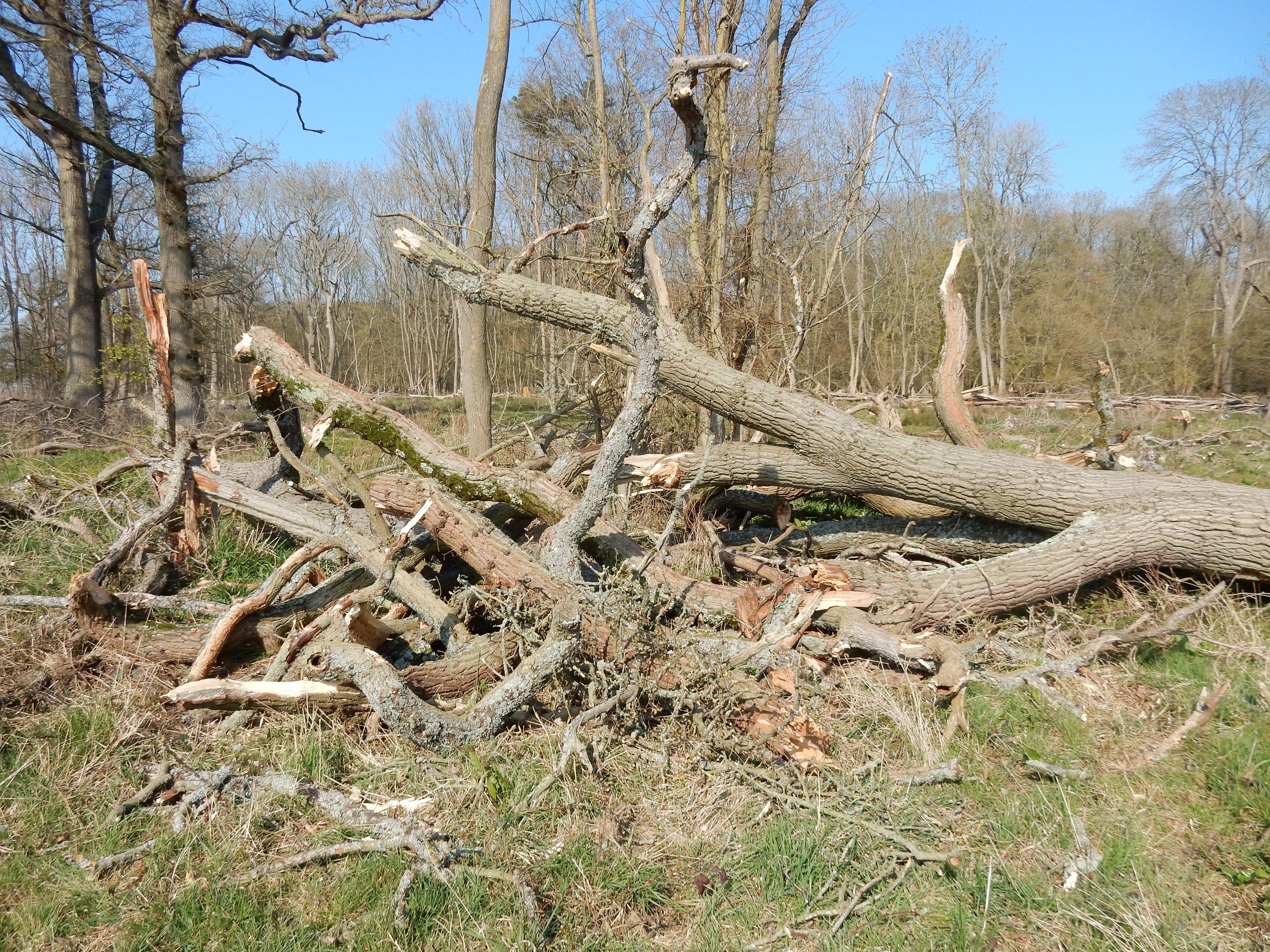
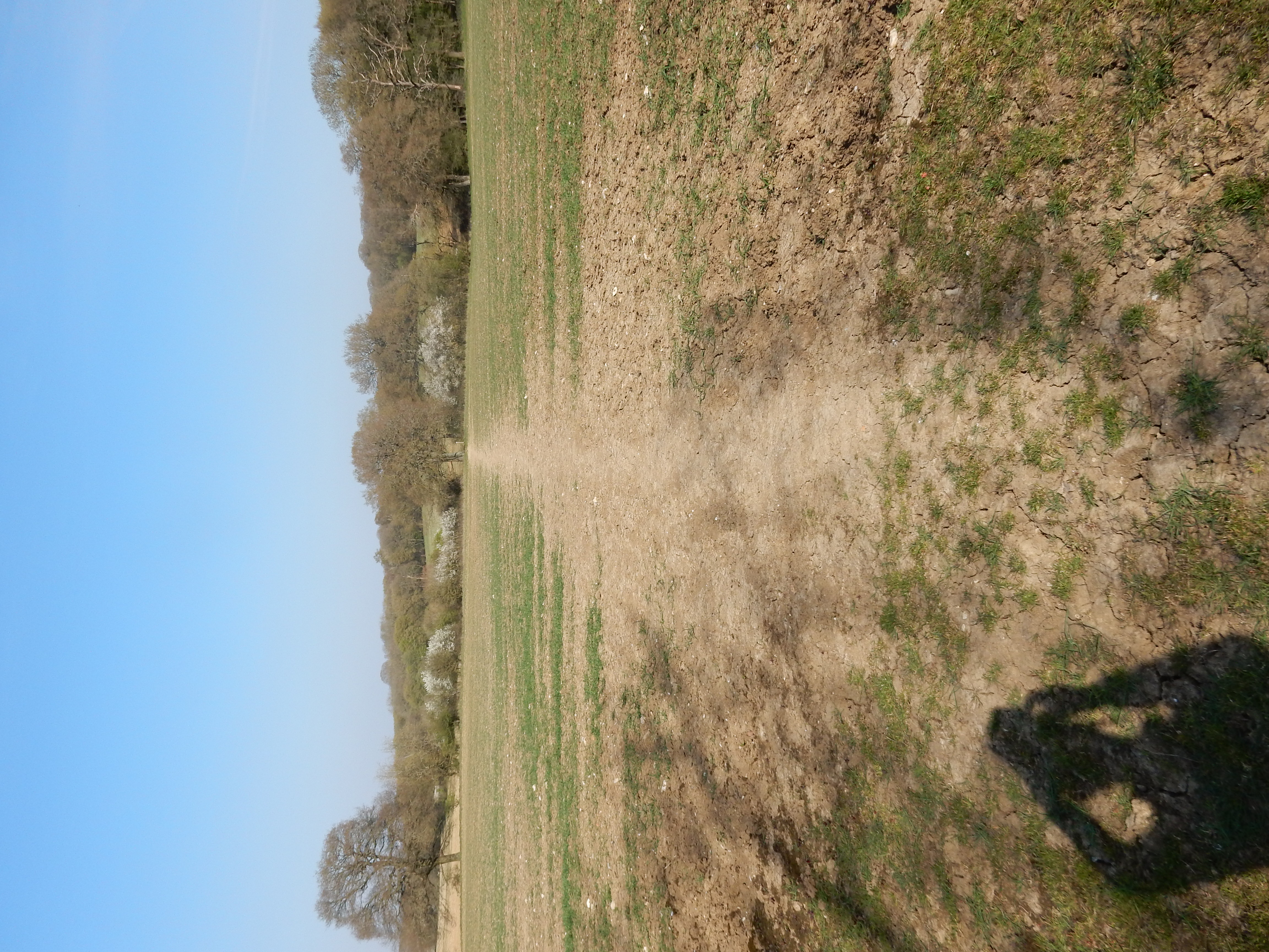
Keep a closer eye on the GPS along Three Houses Lane to avoid missing yet another left turn. The finger post here looks a bit sad, but so does the tree behind it. Is that an ash? In Holl Lays Wood there is further evidence to see. It's all part of climate change, say some. For several years, my walks have taken me over surfaces like this one at Rustling End. The ground is cracked and baked dry as a bone, with the last boot and hoof prints of winter solidified into the clay until November.[12] Well, that is what I got in July or August. This is April. If we get no little shoures soon, a hammer and chisel will be needed to sow crops.
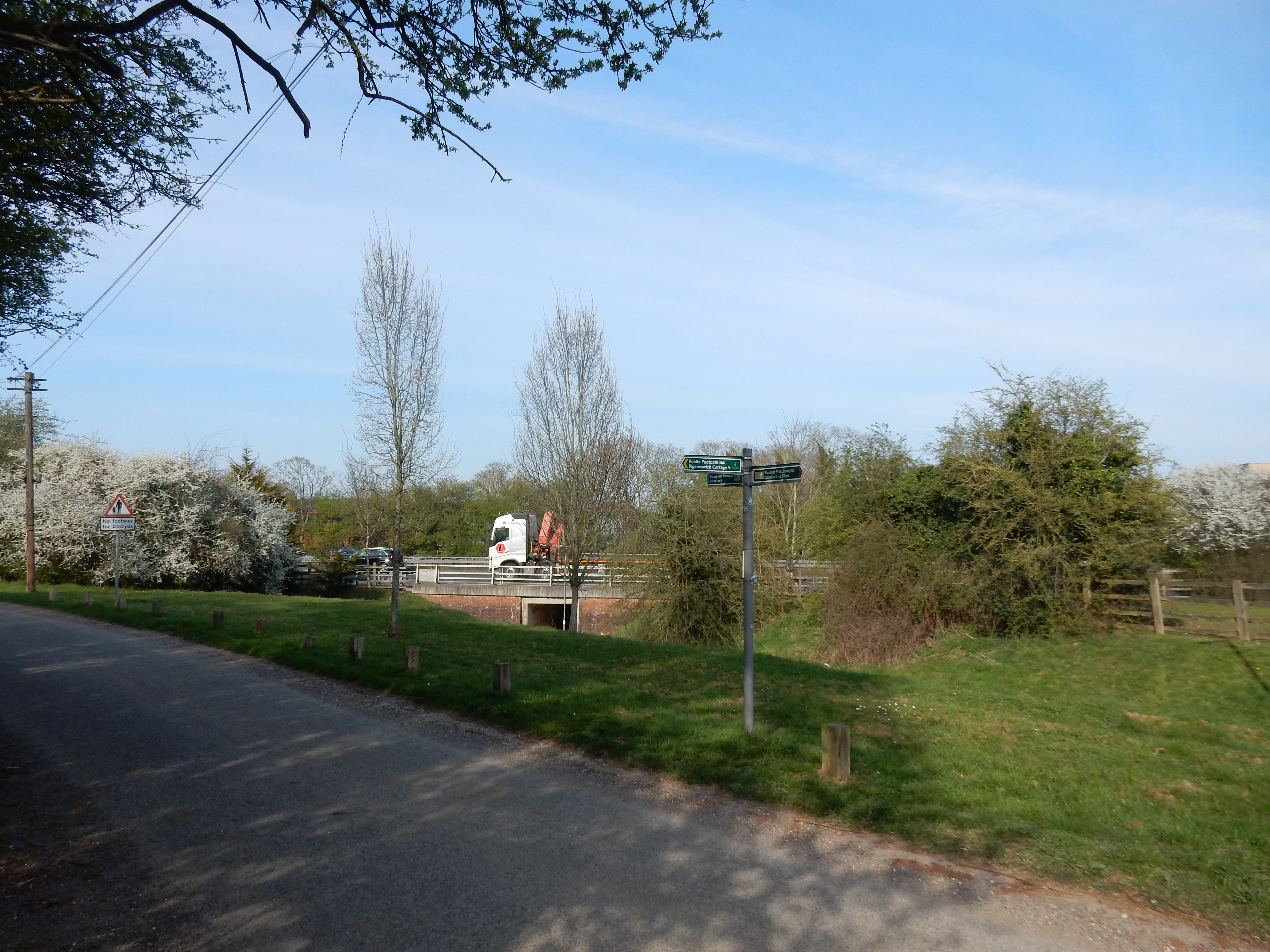
Pigeonswick Cottage
is at the intersection of five public rights of way, and it
may take you a moment to choose the correct one for
Norton Green. Brambles are taking over the marshy ground by Langley
Brook. The A1(M) is now in earshot, and the
underpass
marks the end of this walk's rural section. Farewell forest,
pheasant, hedgerow, dew pond, parkland, meadow, dog rose,
wheatfield, skylark, chalk stream, red admiral, country seat,
church, hay barn, cottage. Greetings motorway, street lamp,
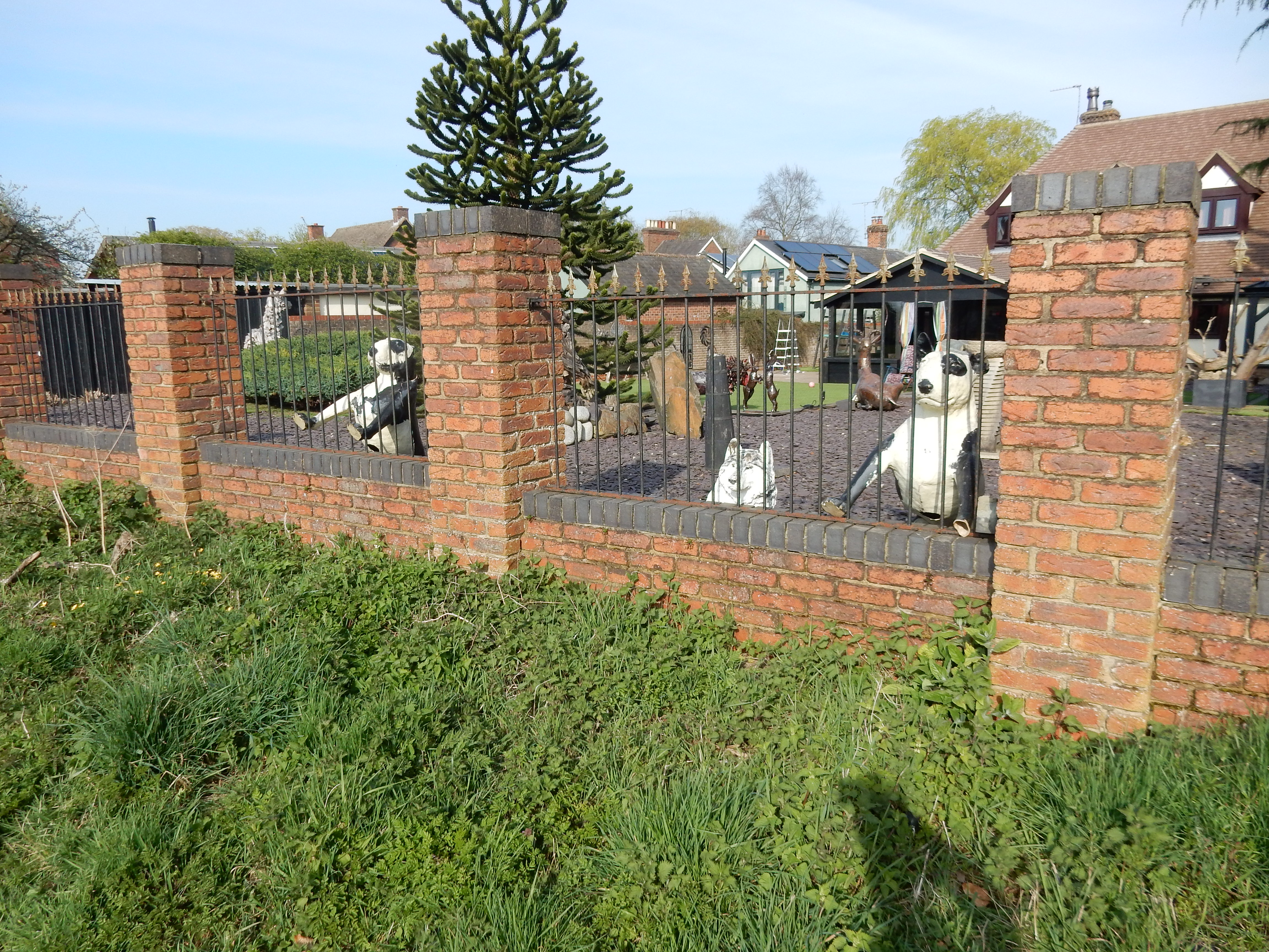
culvert, Barratt house, XL bully, slip road, zebra crossing,
distribution centre, Wagamama, KFC, Nandos, McDonalds. I mention
these last four Great British institutions of high standing
because they nestle right alongside
Future Place, home to the
Institution of Engineering & Technology. My paternal ancestor always regarded his membership of
the IEE (forerunner to the IET) and Chartered Engineer status as
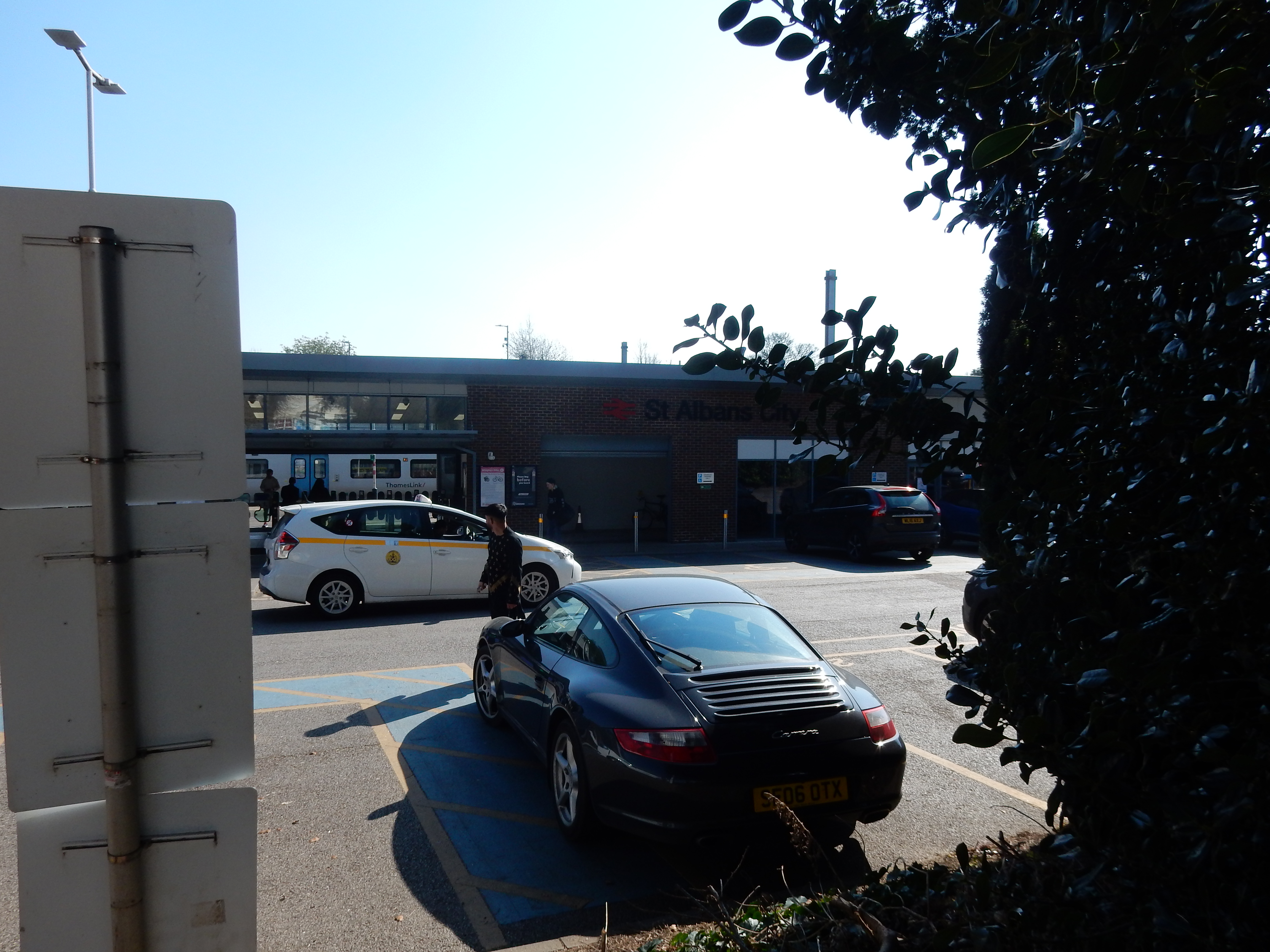
the high point of his career. Me? I'll settle for a bottle of
water from the station.