Parametric data
- Route name:
- Brighton to World's End.
- This route on OS maps:
- https://explore.osmaps.com/route/15869794/ ...
- Distance:
- 11.5 miles walked, 9.4 miles flown.
-
Duration[dur]
-
4.2 hours. - Topology:
- Point to point (Northward).
- Ascent:
- 200 metres.
- Stiles:
- 0 (zero).
- Landmark of note:
- The Clayton Tunnel
- Feasible excursion:
- Through Keymer rather than Hassocks (see text).
-
Waypoints: - Preston, Withdean, Patcham, Waterhall, Pycombe, Clayton, Hassocks, Burgess Hill.
-
Weather: - 6°C, 🌫️ Mist on hill tops.
-
Avoiding roads: -
 It does - at a price.
-
Footpath construction: -
 Clayton Hill: a rambler's nightmare.
-
Footpath condition: -
Oh, please.
- Refreshments:
- Lasagne at South Downs Nurseries.
-
Vistas: -
 Nightingale Meadows. However, the nearby
Wolstonbury Hill is top notch.
Nightingale Meadows. However, the nearby
Wolstonbury Hill is top notch.
Blackberries:[bbp]-
 Here and there, late summer.
Route map and notes.
A bold hippopotamus was standing one day
on the banks of the cool Shalimar.
Michael Flanders.
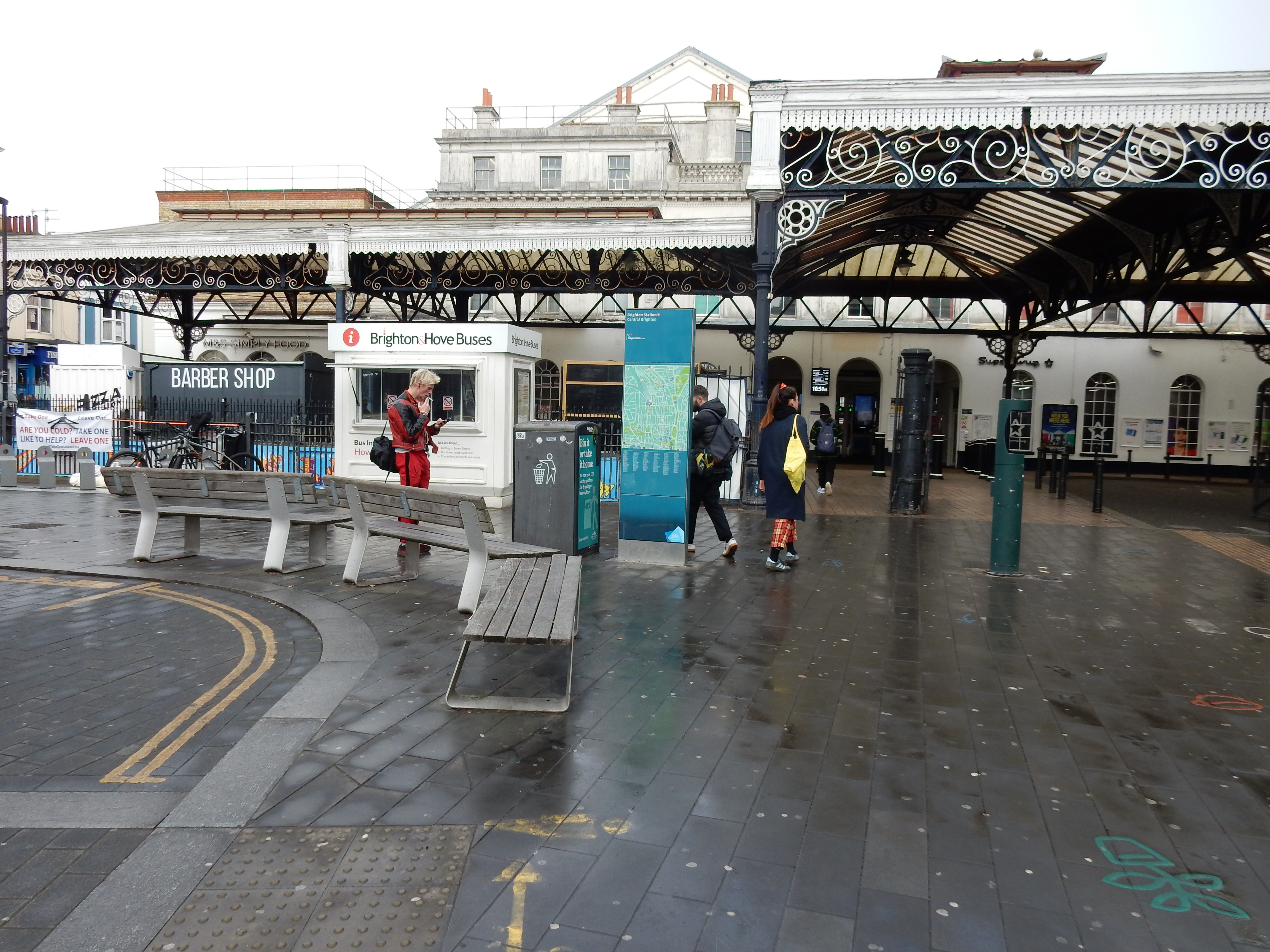
An unexpected interlude in otherwise grotty weather meant that I needed a new, mud-free route, in short order. I thought the best way to achieve that might be to select end points connected directly by existing transport routes and ask OS Maps for a walking route. Undoubtedly one of the best-laid schemes of mouse or man. I flounder right at the start, by failing to spot the eastern exit from Brighton station and the perfectly decent path heading northwards.
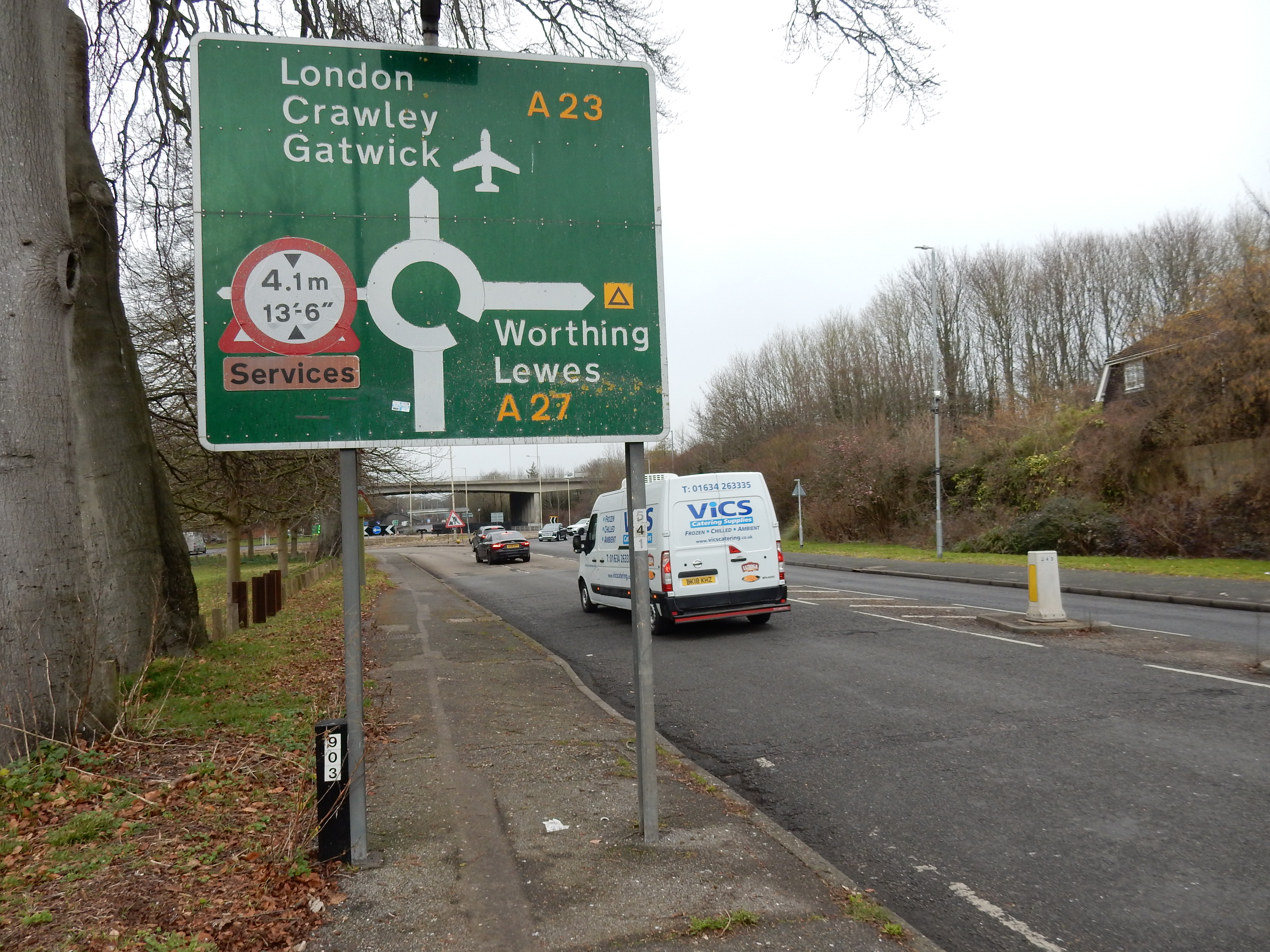
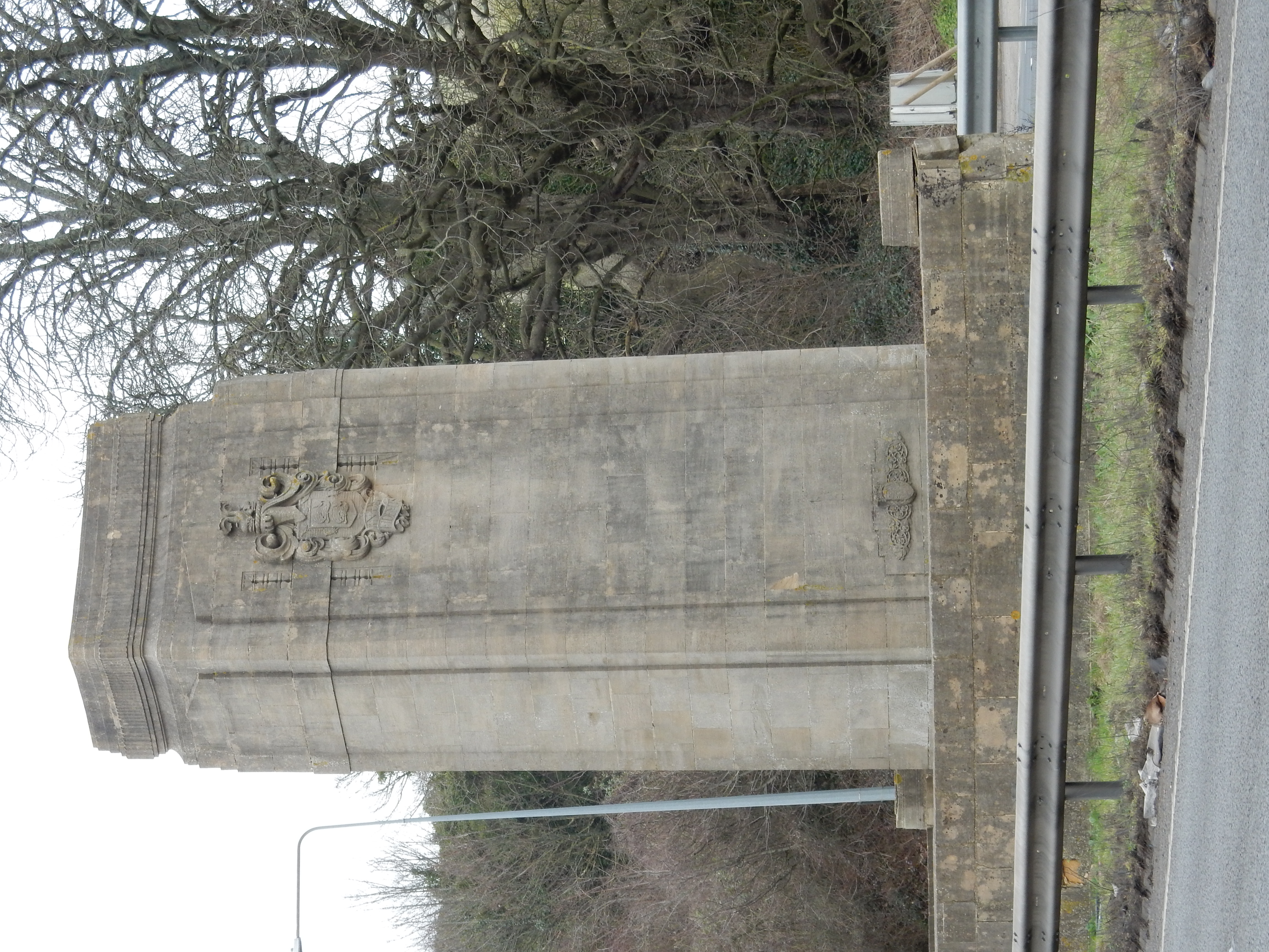
That the OS should gang aft a-gley is not a big surprise. It doesn't have data about mud, and there is no option for avoiding same even if it did. At 12 miles total, its chosen route was little more than the one shown here, but it followed the A23 only until leaving town and then used the Sussex Border Path to stride boldly up across the Downs before descending through Ditchling. I didn't need to have tried that to know it would suit Hippopotamus amphibius rather better than me. It also misses out on the Patcham Pylons, though why Brighton feels the need for this type of road sign is a mystery to me.
OK, let's force the OS back onto the A23 using waypoints. This looks good until the north end of Pycombe where the South Downs Way goes along School Lane to meet the A273. From that point there is no footway up Clayton Hill. Going north, you have only enough footpath to reach the golf course where the SDW continues eastward. Pretty soon, even the verge along the 273 disappears, leaving it little better than a sunken lane. The OS suggests that you go up there anyway but (perhaps appreciating that its recommendation is suicidal) it swerves onto non-existant trails across private land. Forget it.
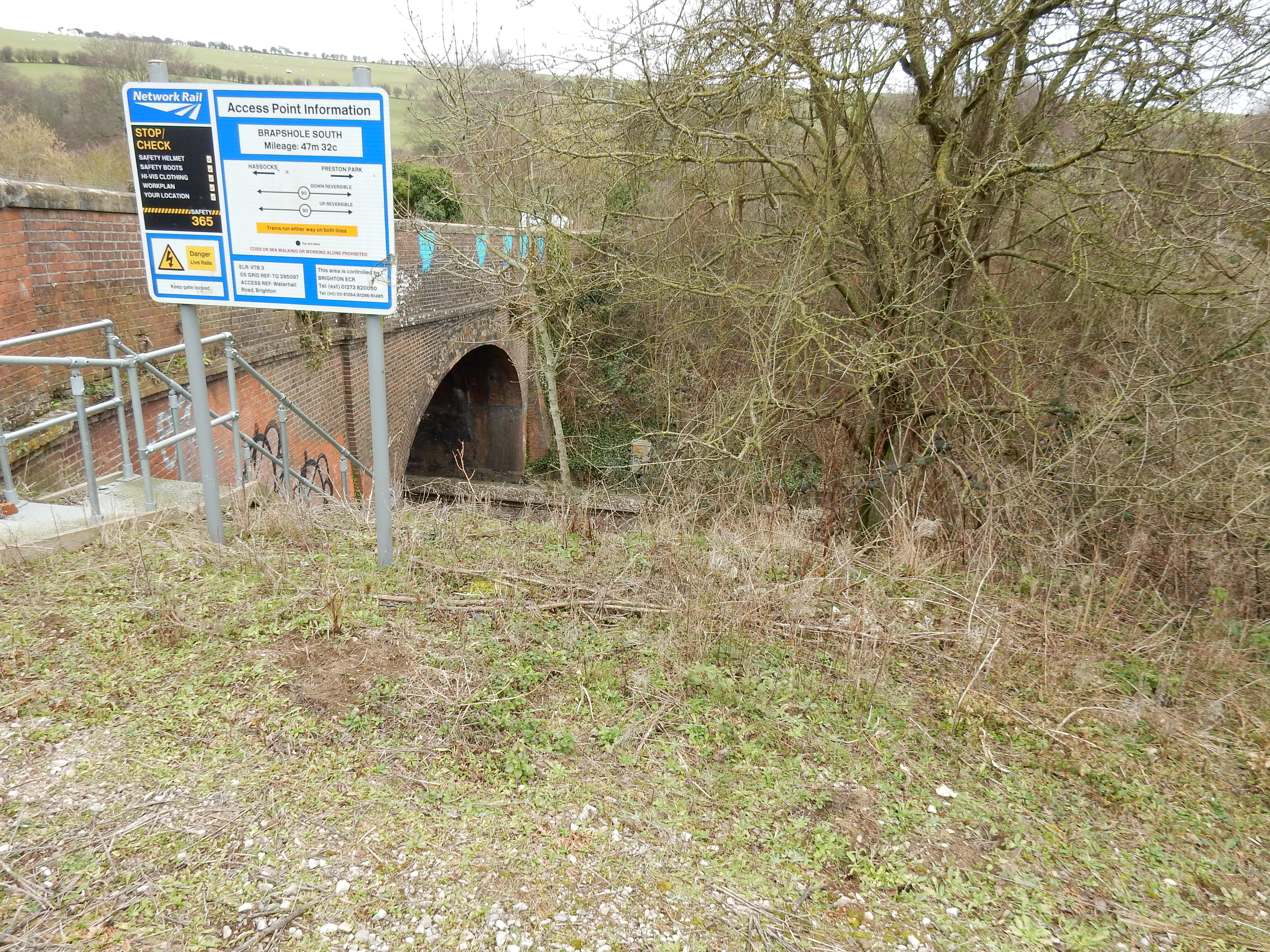
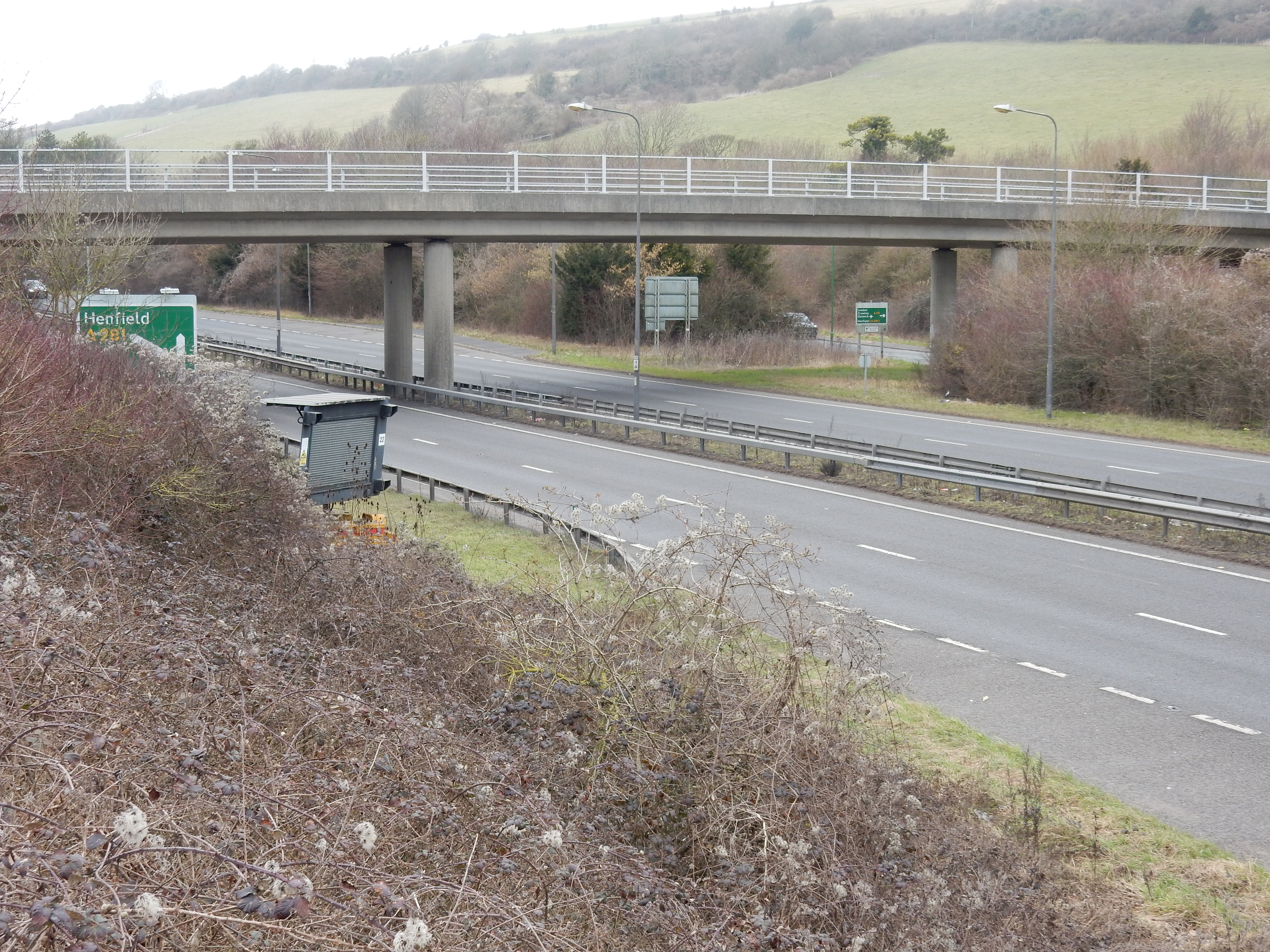
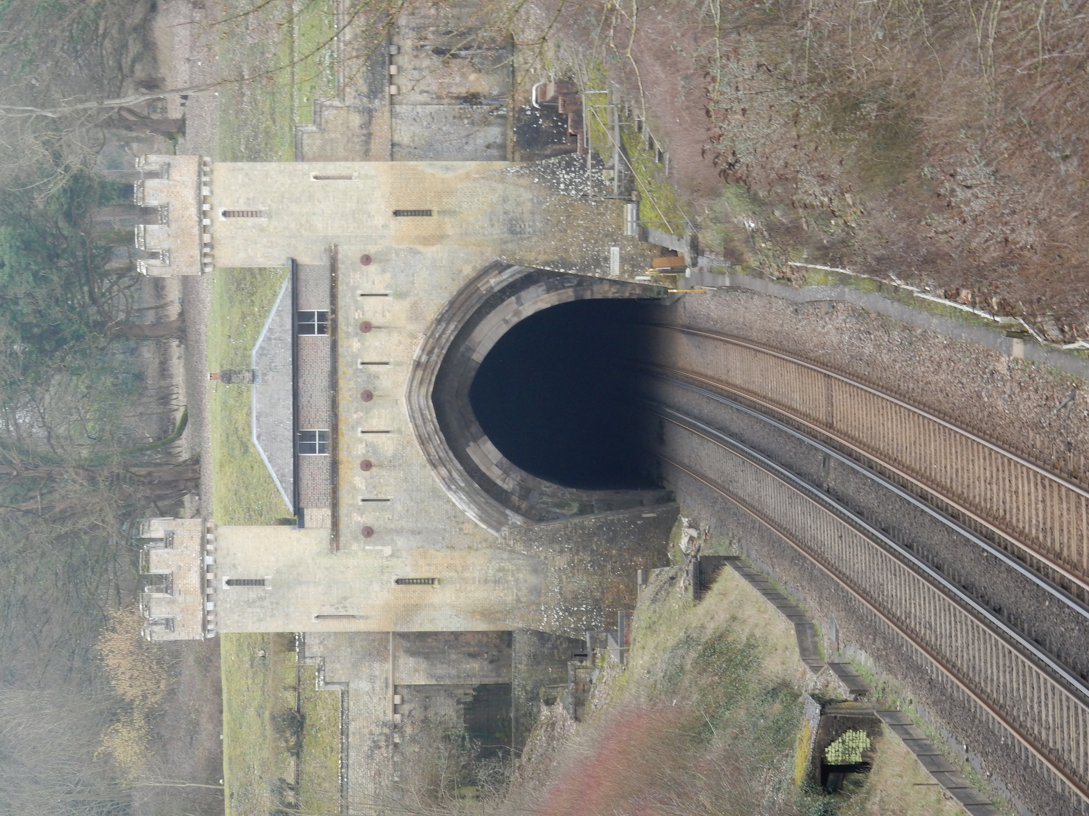
Afford the app some sympathy because alternatives are seriously unappealing. Reluctantly, I settle for the first left after Pycombe church: The Wyshe. This has to be bad news. It leads to New Way Lane, just after the Clayton Tunnel, along old, dirt, 'hollow ways' whose gradient ensures that they suffer the usual fate of all such downland routes. In heavy rain, they transform into streams which cut a deep channel into the chalk (turning it to porridge), leaving larger flints and debris as ankle-breakers along the bottom of the 'V'. When all this gunk washes to the bottom it is deposited into ponds going across the whole width of the path.
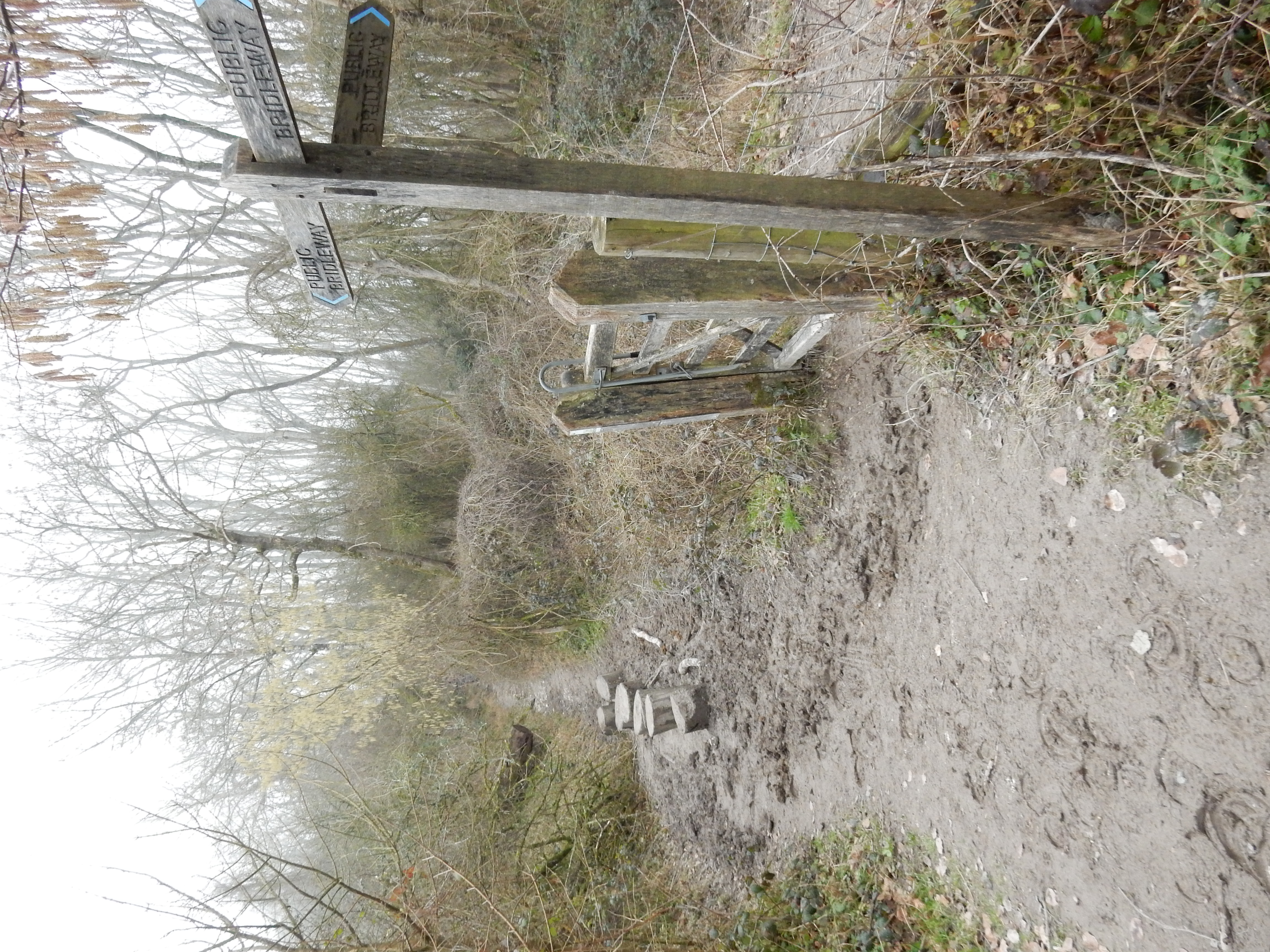
By the time I stagger up to 'The Jack and Jill Inn', I am seriously in need of lunch. However, a full-to-capacity car park does not bode well, and so the queue at the bar proves. In any case, it being more gastro than pub, I decide to try my luck further north. Payoff arrives half a mile up the 273 at the South Downs Nurseries. Calling it a garden centre is like calling London a habitation. They make a starving man double his day's walk distance just to get to the cafe from the site entrance. OTOH, there are no complaints about the state of my boots.
The next leg is a rather uneventful mile+¾ of A273 until a possibly premature right turn around Nightingale Meadows. Very little distance is saved going off-tarmac, but the views are reasonable and the soggy bits were not troublesome. There are also some strange artworks thereabouts, including this one commemorating John Saxby. I reflect that many a work of public art celebrates our politicians, but rather fewer do so for this country's engineers. Might Saxby think that every railway signal in the world was sufficient commemoration? Whatever, thank you burgesshill.gov.uk.

The suburbs of Burgess Hill are, perhaps, less noteworthy but, yipee, you have at least trod your last stretch of mud. If frogs are your thing then look for this. Poor beast, you must live!