Parametric data
-
Route name:
Croydon station. -
Distance:
10.6 miles. -
Topology:
Point to point (southward). -
Seasonal suitability:
Dry. -
Ascent:
200 metres+ -
Landmark of note:
Chaldon Church. -
Feasible excursion:
Farthing Downs saves ½ a mile, but that
leads into Ditches Lane (traffic). -
Walking in the road:
< 340 m (Shepherd's Hill). -
Footpath quality:
Top notch apart from up to Ditches Lane (muddy). -
Duration
4.8 hours -
Refreshments:
Pistachios.
Route map and notes.
- E. Croydon Station.At exitturn left intoGeorge St.
- At ped. crosng.Continue along S. side ofGeorge St.
- After 30 mturn right intoAltyre Rd.
- At its endturn right intoBarclay Rd. (A232).
- At ped. crosng.cross intoPark Hill Park.
- After 750 mturn right intoCoombe Rd.
- After 50 mturn left intofootpath toward S. Croydon St.
- After 320 mturn right intoHurst Rd.
- At its endturn left intoSt.Peters Rd.(B274)
- At rboutcross intoSelsdon Rd.(B275)
- After 65 mturn right intoDrovers Rd.
- At its endturn left intoBrighton Rd.(A235)
- After 410 mtake 2nd right intoHaling Park Rd.
- After 130 mtake 1st left intoAvondale Rd.
- At its endturn right intoSt Augustines Ave.
- After 35 mtake 1st left intoBlenheim Park Rd.
- At its endturn right intoKinsdown Ave.
- After 310 mbear left intoMontpellier Rd.
- After 170 mtake 1st right intoMontpellier Rd.
- At its endcross intoPurley Park Rd.
- After 75 mtake 1st right intoWhytecliffe Rd. N.
- At its endturn left intoWhytecliffe Rd. S.
- At its endturn left intoGodstone Rd.(A22)
- After 170 mturn right intoFoxley Hill Rd.
- At rboutturn right intoHigher Drive.
- After 850 mtake 4th right intoBurcott Rd.
- After 205 mtake 1st left intoHaydn Ave.
- After 690 mbear right intoColescroft Hill.
- After 200 mcontinue intoOld Lodge Lane.
- After 500 mbear right intofootpath opposite School.
- After 540 mcontinue alongCanon's Hill.
- At its endturn left intoCoulsdon Rd.(B2030)
- After 930 mturn right intoParsons Pightle.
- After 60 mbear left intoHappy Valley Park.
- After 1730 mbear left intoDitches Lane.
- After 40 mbear right intoLane to church.
- After 105 mturn left intoFootpath toward Alderstead.
- After 930 mcrossRook Lane (B2031).
- After 480 mturn left intoShepherd's Hill (B2031).
- After 1110 mturn
Croydon's pavements predominate the first five miles of this walk. The exception is ½ mile of Park Hill, running north to south from Barclay Road to Coombe Road. Look for the Victorian water tower undergoing lengthy and expensive repair. If you are a tower then Croydon loves you.
Cross to the west side of the delightful Brighton Road and thread your way through quieter residential Purley. To your left along Kingsdown Avenue look for the memorial to the 1924 de Havilland aircraft crash .
A little further on you recross the Brighton Road at Rotary Field. Here can be seen the last remnant of the Surrey Iron Railway .
At the ultra delightful Purley one-way system veer east along the A22 for 160 yards before resuming southerly motion toward Coulsdon. The temptation here is to head over Farthing Down. It's shorter and viable, but is busy and entails the full length of Ditches Lane thereafter. The route as listed takes in the Dollypers Hill Nature Reserve, Grange Park (refreshments at Pistachios ) before Happy Valley .
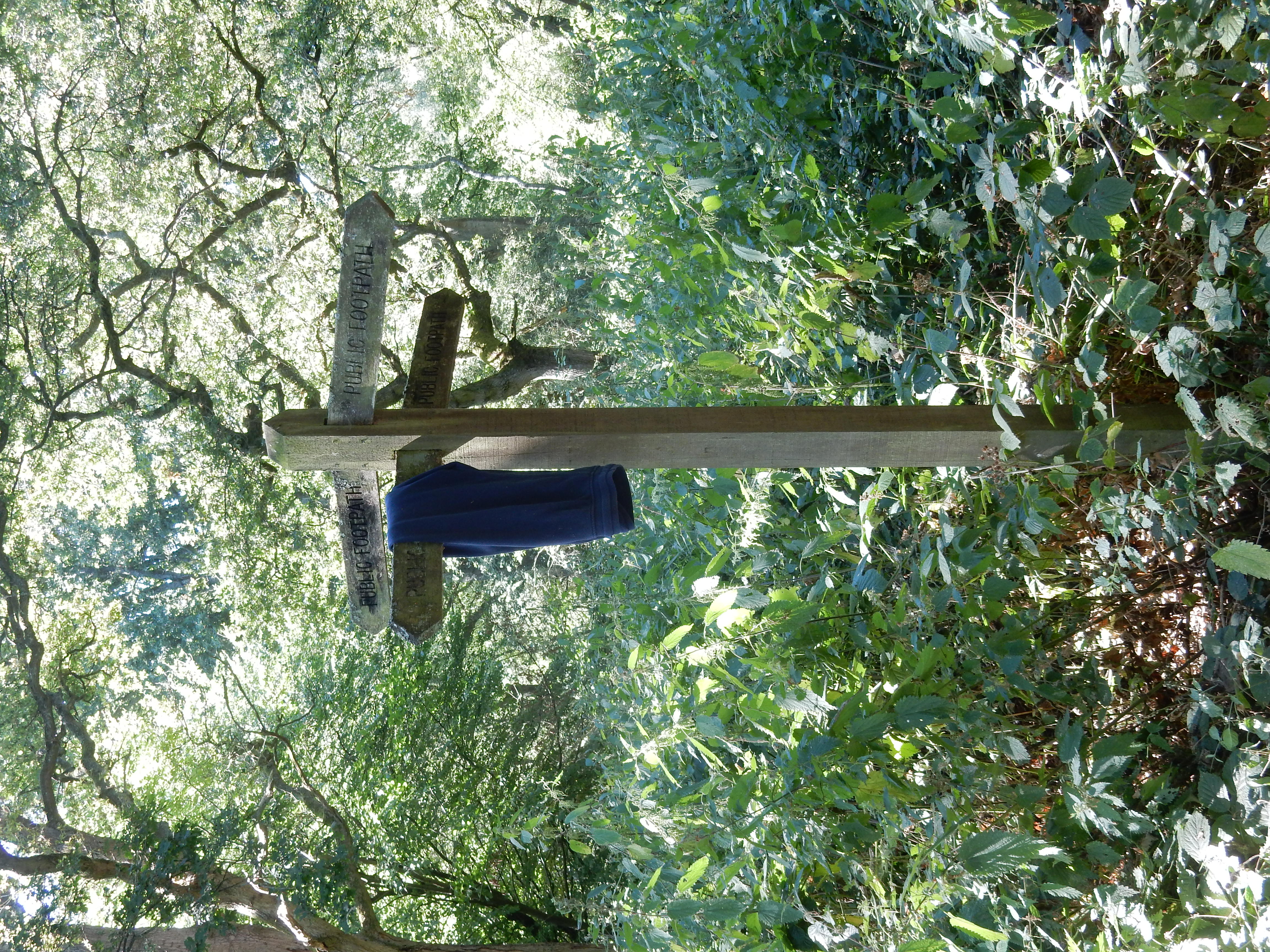
Sign posting is rather thin so, as you leave Parsons Pightle (I thought Dollypers Hill was a laugh) your best bet is to proceed southwards for 500 metres until you reach the paved Fox Lane. Turn right and in 240 metres you emerge from the trees at the valley proper . The sp here indicates Chaldon Church. You then have to traverse both sides of the valley; warm work in August. If you begin to wheeze a bit then that will be the only sound you hear.
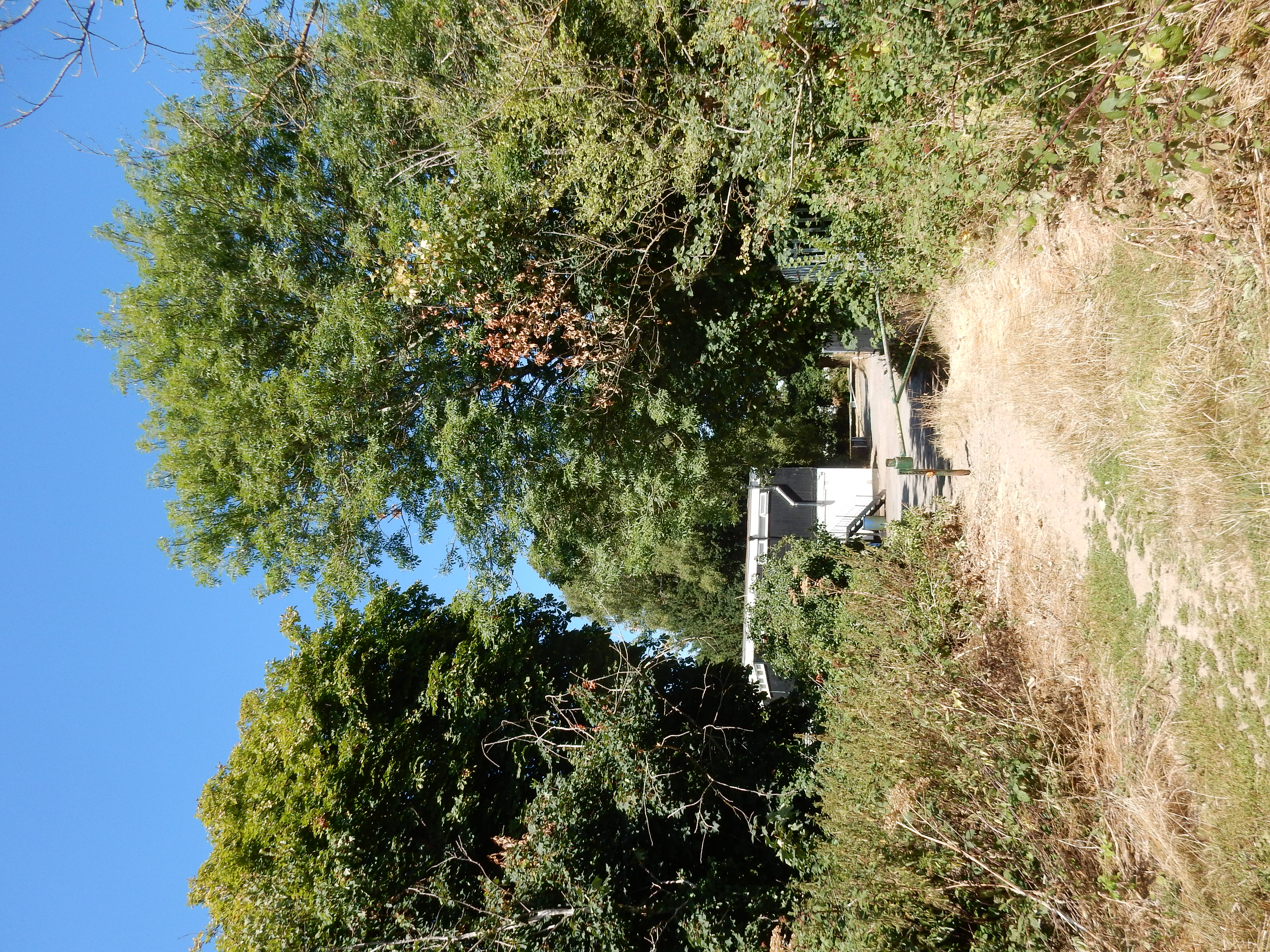
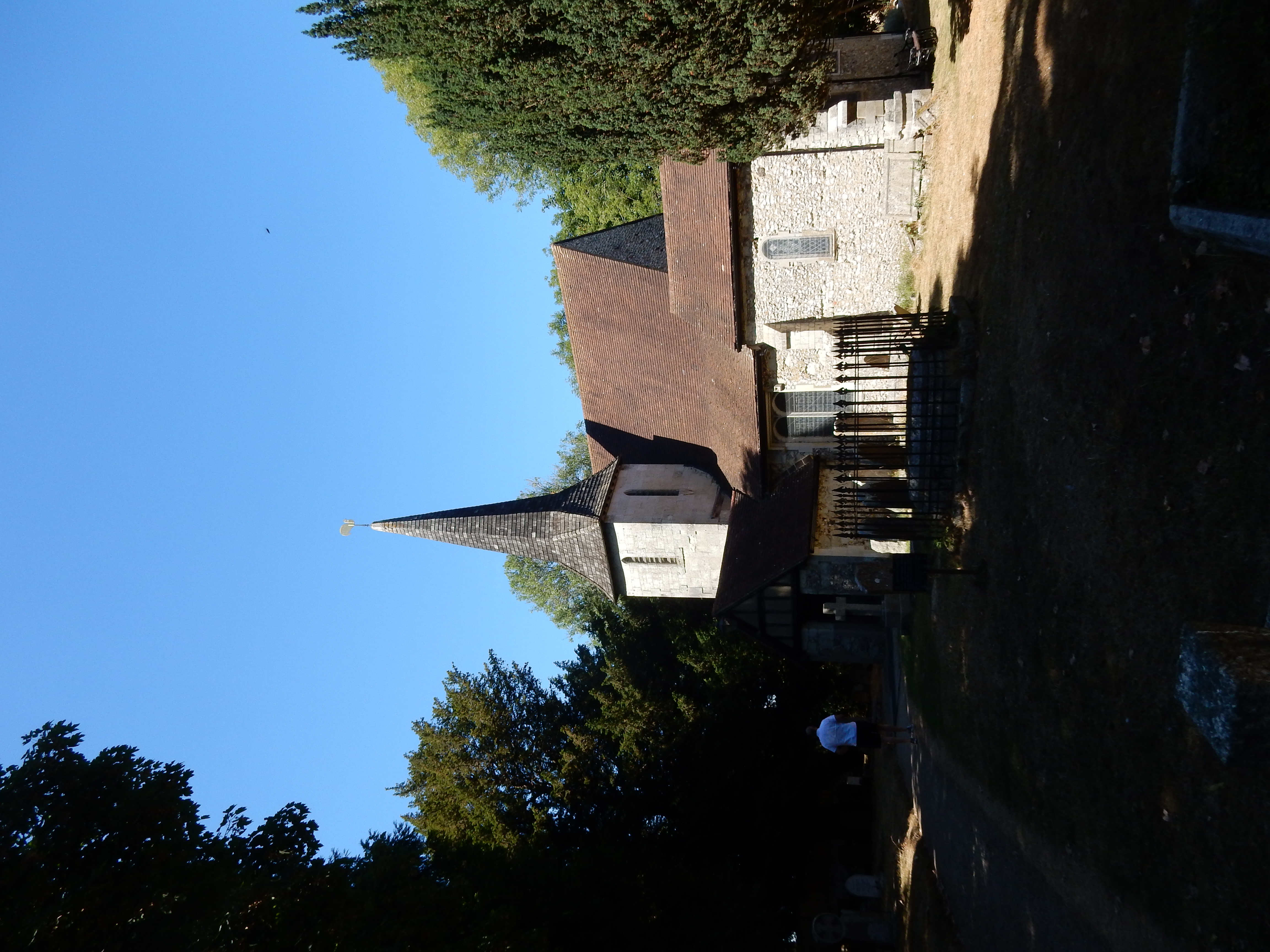
The way across the fields was unmistakable when I took it. At the far end of them is the last of Greater London, approaching a short stretch of Ditches Lane. Listen carefully for oncoming vehicles and you may have time to jump to safety. Any survivor then passes the church with the style for Alderstead directly in front of him. Leaving the second field from there you disappear under the trees at the (concreted) Downlands Woodland Trail. Bear left until you see the sp off to your right. It's then brambles and nettles (about 30 metres) until the B2031.