Parametric data
- Route name:
- Bristol
- Start point:
- Bristol, also shown on ///what3words.
- End point:
- Gloucester, also shown on ///what3words.
- Synopsis:
- A long distance route[1] offering a variety of walking surfaces and scenery.[2]
- This route on OS maps:
- https://explore.osmaps.com/route/32856220/ ...
- OS Explorer sheet ref(s):
-
111and111. - Distance:
- 37.6 miles walked, 32.4 miles flown.
- :
- 17.3 hours.[3]
- Ascent:
- 305 metres.
- Stiles:
- 6 (all on the A38 to canal hop).
- Landmark of note:
- Pegasus House.
- Feasible excursion:
- Temple Way and the Frome Valley Walkway (see below).
- Waypoints:
- Ashley Down, Horfield, Northville, Filton, Patchway, Stoke Lodge, Almondsbury, Woodhouse Down, Rudgeway, Alveston, Grovesend, Milbury Heath, Buckover, Whitfield, Falfield, Stone, Woodford, Newport, Heathfield, Berkeley Heath, Tumpy Green, Gossington, Moorend, Shepherds Patch, Slimbridge, Frampton on Severn, Hempsted, Gloucester Quays.
- Fuel:
- Breakfast at - Dobbies Garden Centre. Additional water - The Tudor Arms.
- :
-
 13°C,[4] 🌤️
Too warm for comfort.
13°C,[4] 🌤️
Too warm for comfort.
-
Free of in-road walking: -
 Tumpy Green Lane is too narrow for a pedestrian and a farm
tractor to pass each other 🙃
Tumpy Green Lane is too narrow for a pedestrian and a farm
tractor to pass each other 🙃
-
Footpath construction: -
 Where you have a footpath, it's often good. Sections of A38
have an unmade footway. Ditto the towpath on the canal.
Neither is very challenging. The hop across to the canal may
well be.
Where you have a footpath, it's often good. Sections of A38
have an unmade footway. Ditto the towpath on the canal.
Neither is very challenging. The hop across to the canal may
well be.
-
Footpath condition: -
 The cut across country was a secateur job. Barbed wire, an
electric fence, vandalised signage, crops planted over the
FP, stiles with steps replaced by brambles, and a gate that
Superman might struggle to open 😖
The cut across country was a secateur job. Barbed wire, an
electric fence, vandalised signage, crops planted over the
FP, stiles with steps replaced by brambles, and a gate that
Superman might struggle to open 😖
Route popularity:-
Even dog walkers were thin on the ground (except the
towpath).
-
Vistas: -
A few
opportunities.[5]
Blackberries:-
A couple of tempters, but no time.[6]
Route map.
Walk notes.
walk takes place only because my planned inter-city trek for 2026 turned out to be something of a washout. Having reached a time in life when such feats may not be indefinitely repeatable, I feel a further year ought not to pass without completing one I fully enjoy.
Omininously, Saint Augustine (patron saint of the pedestrian) appears unlikely to smile upon my endeavour today either. Six weeks into a drought, with temperatures expected to peak around 26, plus light winds, I escape from the storm drain only to face doom in the frying pan. The saturated boots I endured in June (perfect for the production of blisters) may resume their onslaught of my trotters when the latter overheat. Gloucester may be just a hop skip and a jump down the A38, but it still needs midsummer hours of daylight to reach. Perhaps midsummer temperatures must be expected. Hotfooting it? Please, no. Last year, climbing my first Munro, I contrived to run out of water when halfway up. This route has nearly as few shops.
Augustine signalled his disapproval yesterday when I sat down with a coffee at 11:00, but on the next time check discovered that 12:30 had come and gone without my having finished packing, let alone having made my way to the station in time for the train. Bang goes £100 in fares.
Unlike my debut in the Scottish Highlands, I receive no assistance planning my stroll today. No sane person takes on such a task. Yes, Gloucester is not a million miles on the A38, or the M5, but pedestrians are about as welcome on either road.
On earlier inter-city strolls, I reconnoitred most of the route in small stages. This minimises faffing with navigation and adverse terrain on the actual day. Bristol being rather far from home, I am obliged to forego any research-walking, and therefore pay the penalty today. I might have hoped, however, Augustine might delay any rebuke for at least a few minutes. To my embarrassment, he notices my usual disorientation leaving an unfamiliar station: the majestic Temple Meads. Confusion is compounded by construction work affecting the area north of Brunel's monumental structure; so I cross Meads Reach Bridge rather than the footbridge just west of it.[7] Together with a GPS that struggles beneath tall city buildings,[8] initial progress is slow. A stop is also required to examine the strange 'ruins' in Hawkins Street. A later google confirms this to be from 2022, and a purposefully constructed folly - intended to reflect Bristol's complex architectural history.
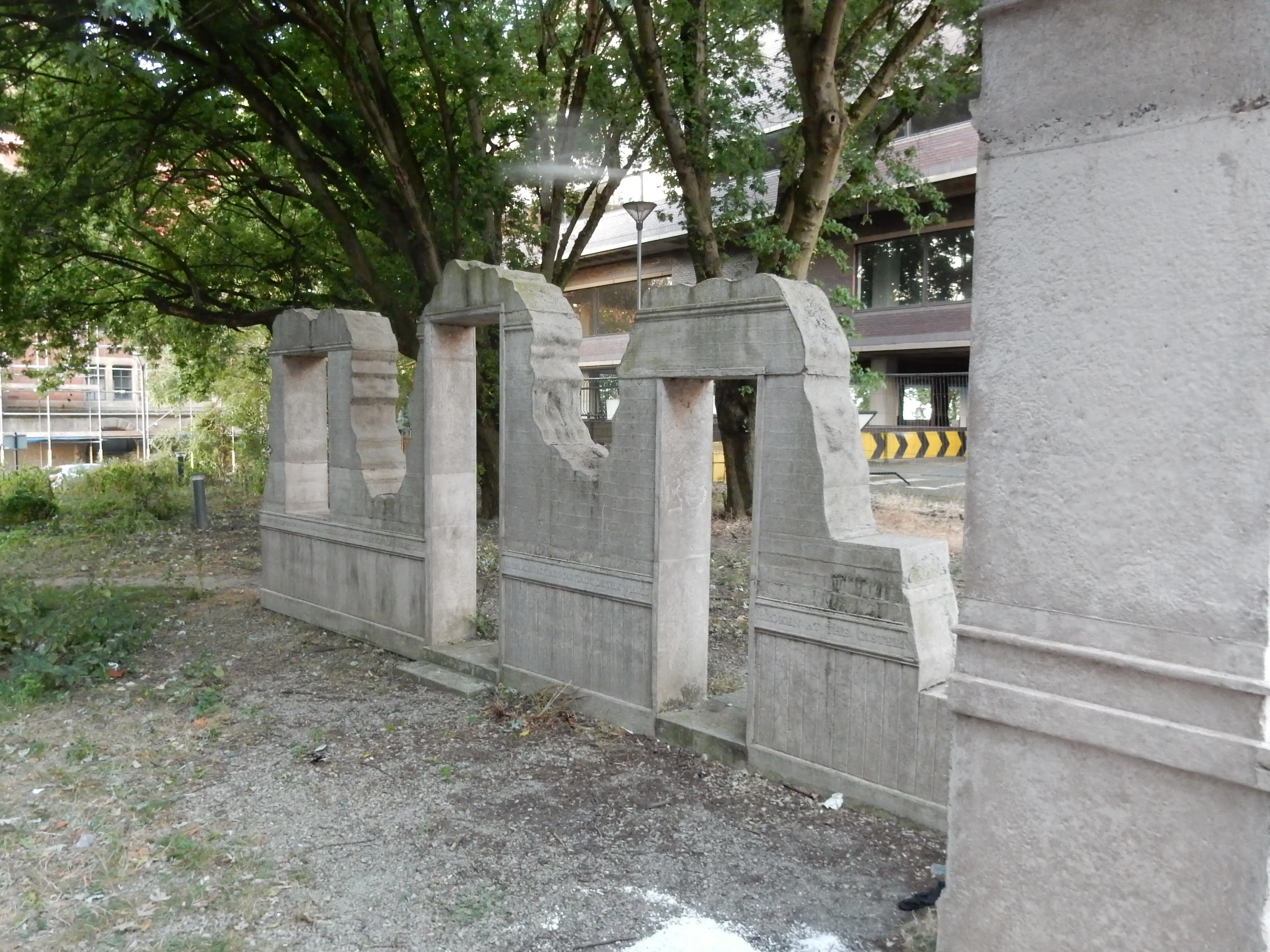
Complex architecture isn't really a priority today. The following week I realise that a more straightforward exit from Bristol is provided along Temple Way and the Frome Valley Walkway (reaching the bottom of the M32).[9] Rats. Or, perhaps I should say: foxes. It is refuse collection day in this part of Bristol and, over a warm night, Urban Fox has helped himself to the contents of every bin; permeating the area with the stench of decomposing food.
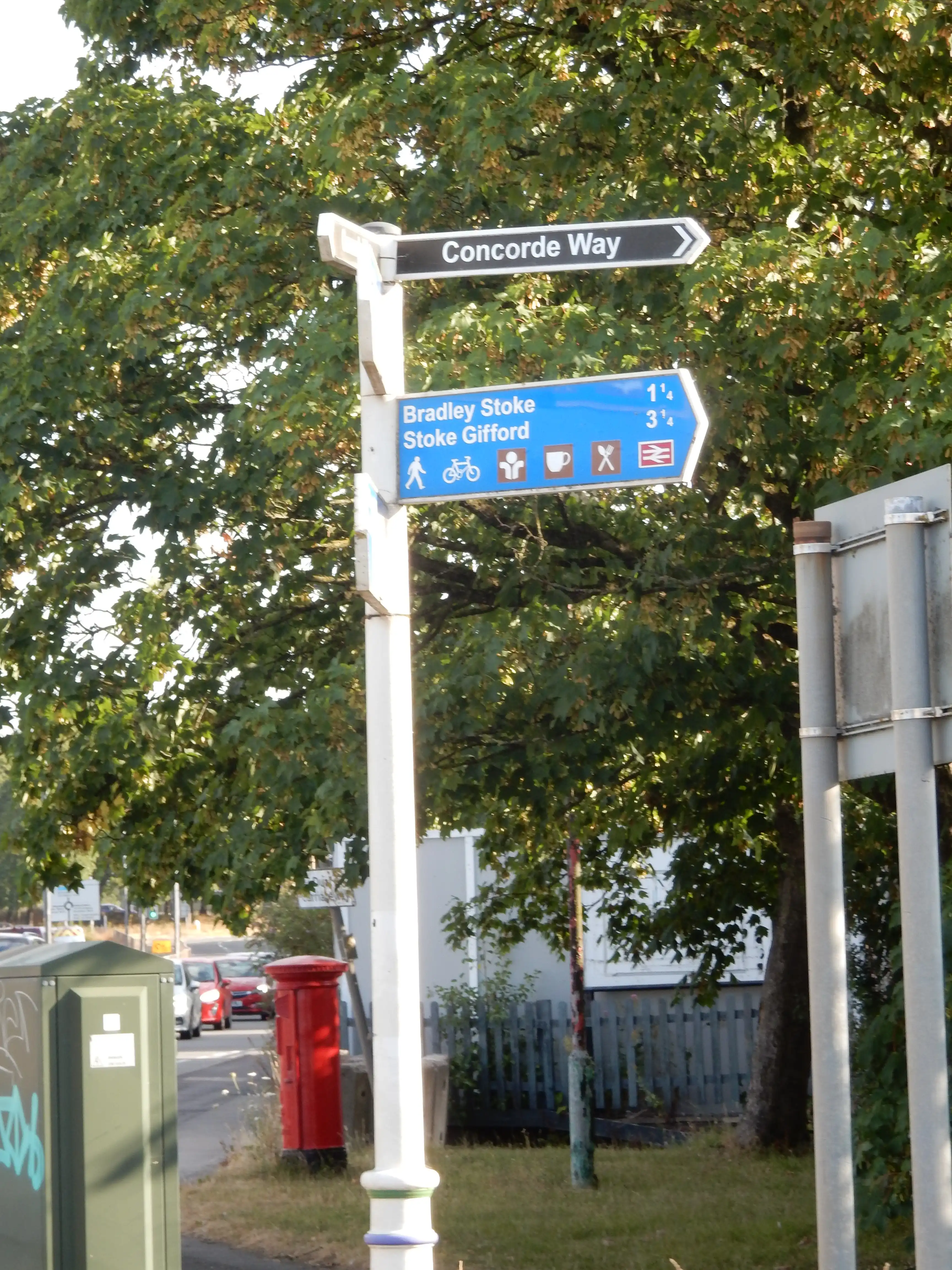
As the northern end of Mina Road dips under the Severn Beach rail line, my hopes of seeing some greenery soon are raised slightly. Although it does so transpire, the city has not seen the last of me yet. Hail all Bristol branches of The Tree! Be not alarmed; the sonic boom that shattered your windows is simply me as I fly down Concorde Way en route to Gloucester.
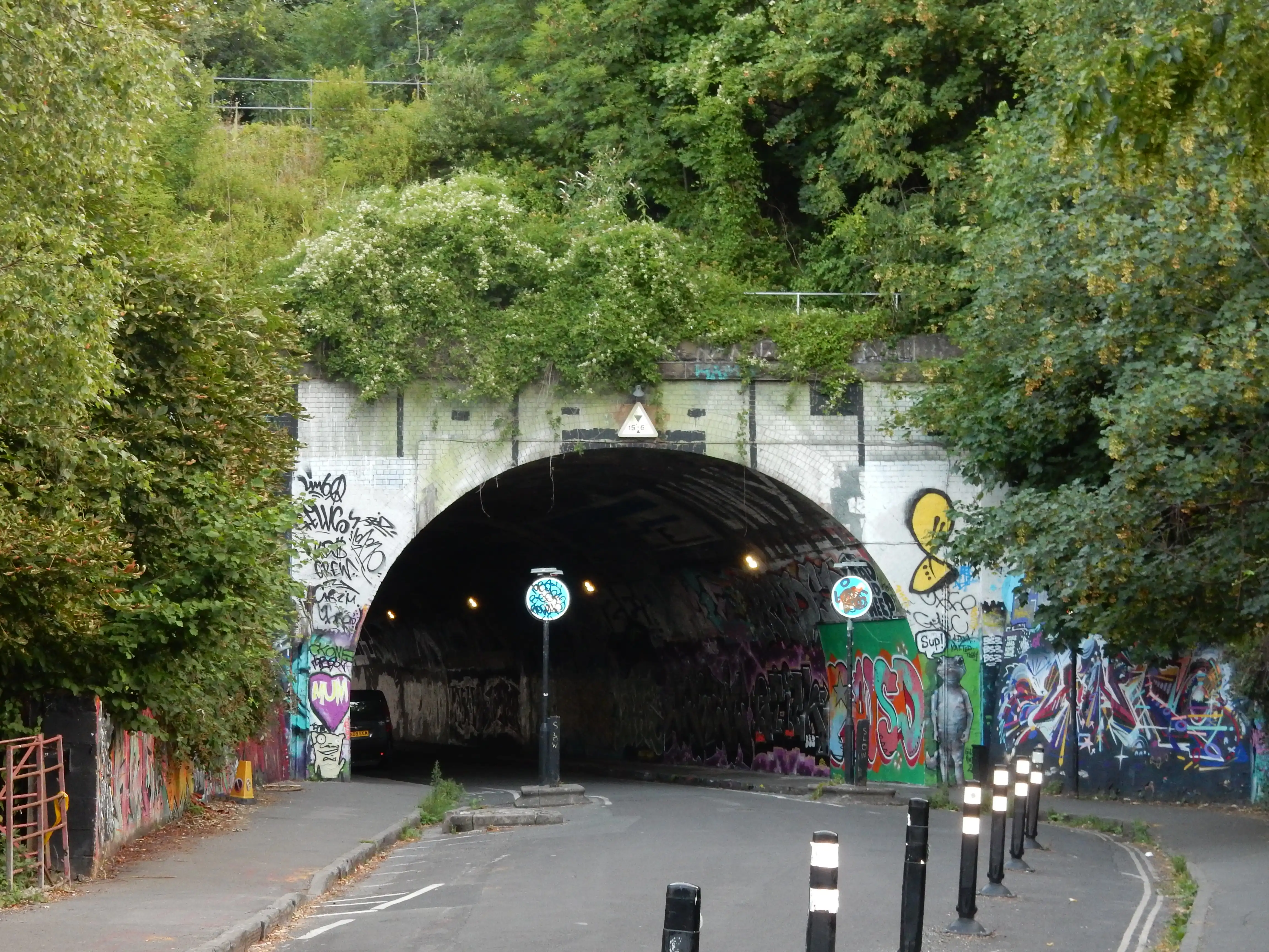
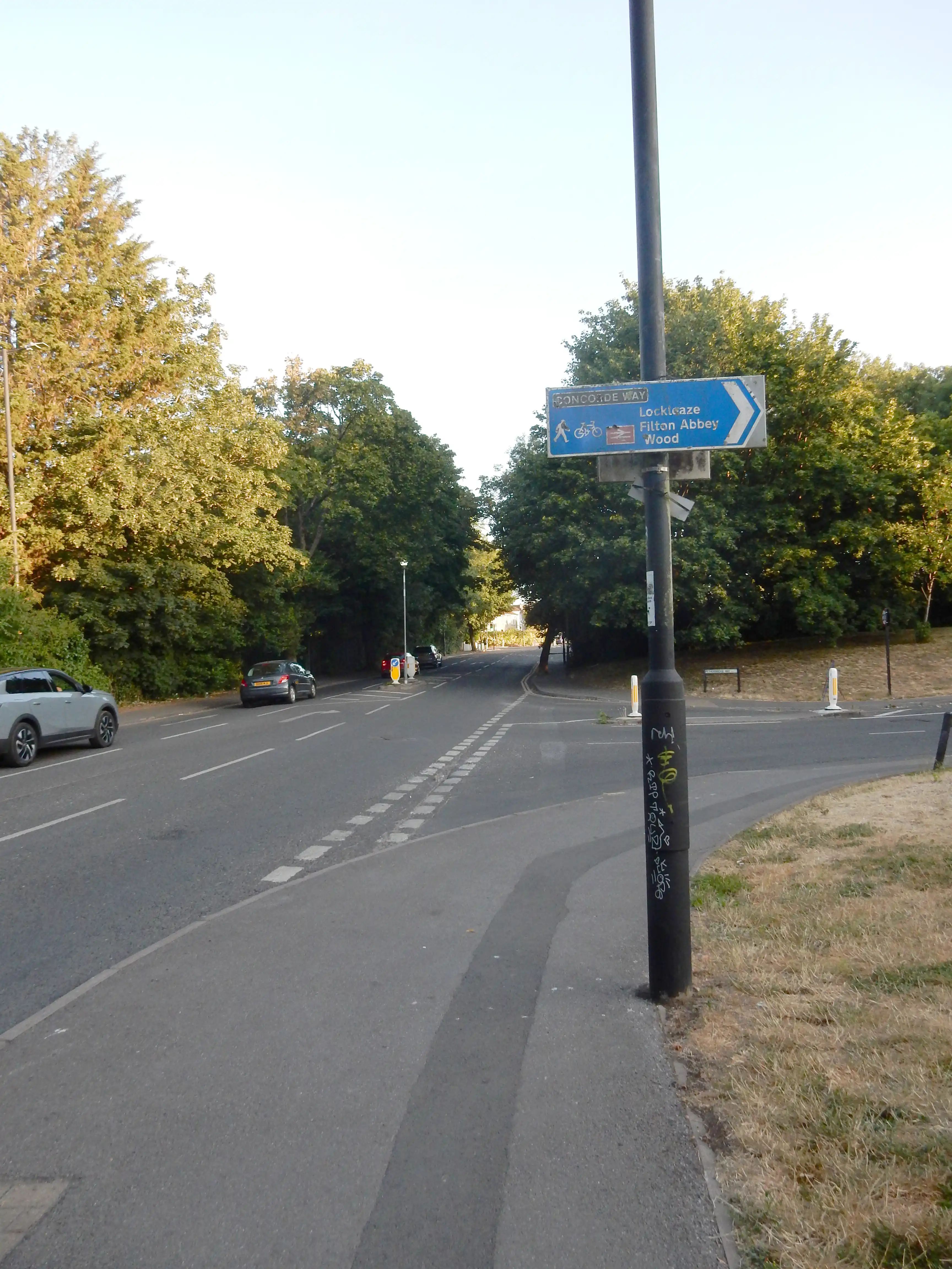
The brief visual respite I enjoy past the City Farm is soon replaced by about another five miles of suburb and business park. It is still only 06:15, and I have beaten the bin lorry to Fourth Avenue. In a former life, electronics was a thing with me,[10] so I take note of one particular item of refuse. It appears so archaic that it may well predate me. I speculate about the title of the last program it played. ITMA? The Goon Show? Desert Island Discs? Not a chance that the DVD beside it was ever playable on this home entertainment system, or wireless, as they called it then.

Doctor Foster went to Gloucester,
In a shower of rain;
He stepped in a puddle,
Right up to his middle,
And never went there again.
After Wikipedia
Walk notes (2).
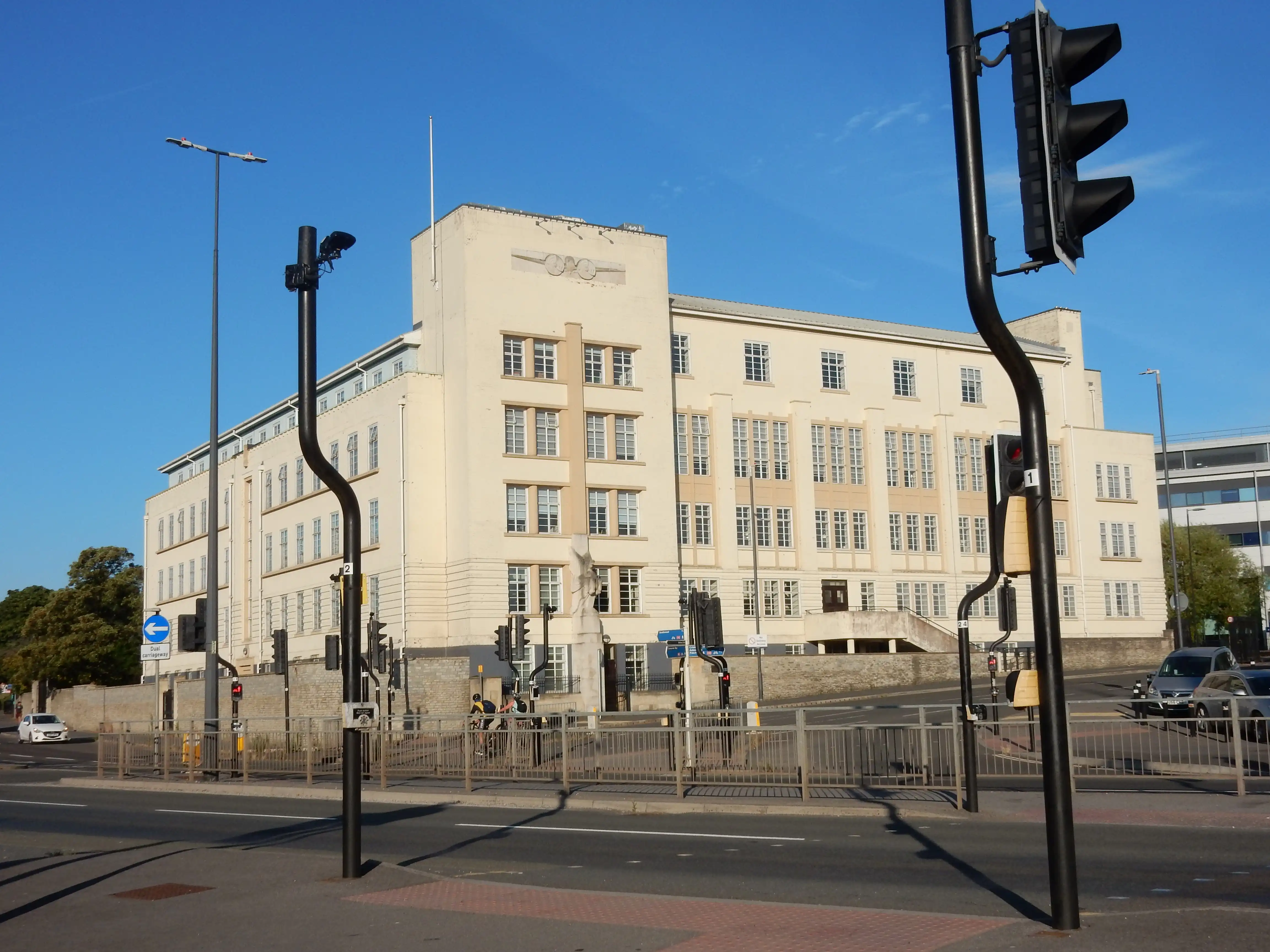
As 07:00 arrives, so does a bit of a landmark moment. More historic architecture appears in the form of Pegasus House. Originally HQ of the Bristol Aeroplane Company, it shouts Art Deco so loud you could probably hear it in Wales. More to the point, the foreground in my photo shows what maps dub the A38 Gloucester Road. For the next 7½ hours I gain close familiarity with this thoroughfare, and its many delightful forms of motor transport.
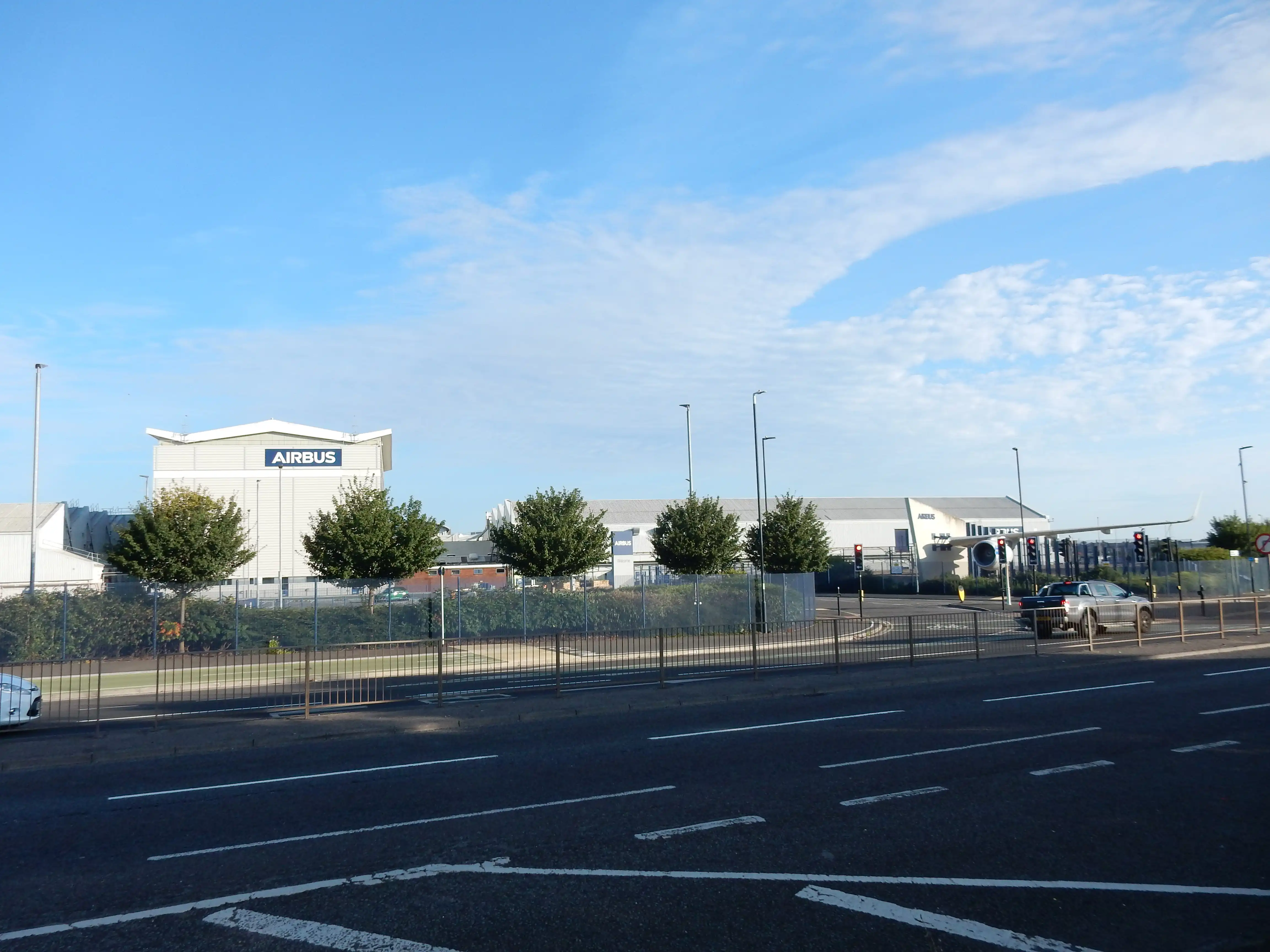
One piece of historic architecture that won't be in my way is Filton Airport. I knew before the walk that it was no longer what it was during manufacture of Concorde, but did not understand that efforts to replace it proceed at pace, and that Mr. Developer is having an airfield day. Airbus is here, clearly, and (claims Wikipedia) intending to manufacture wings.[11] I see evidence that something is going on further along the A38 in Patchway. Nearing 08:00, the traffic on the southbound carriageway is not going on. It just sits there, bumper to bumper, making less progress than a pedestrian, as far as the eye can see and, it transpires, even the M5. These people must have jobs to go to - even if they can't actually get to them.
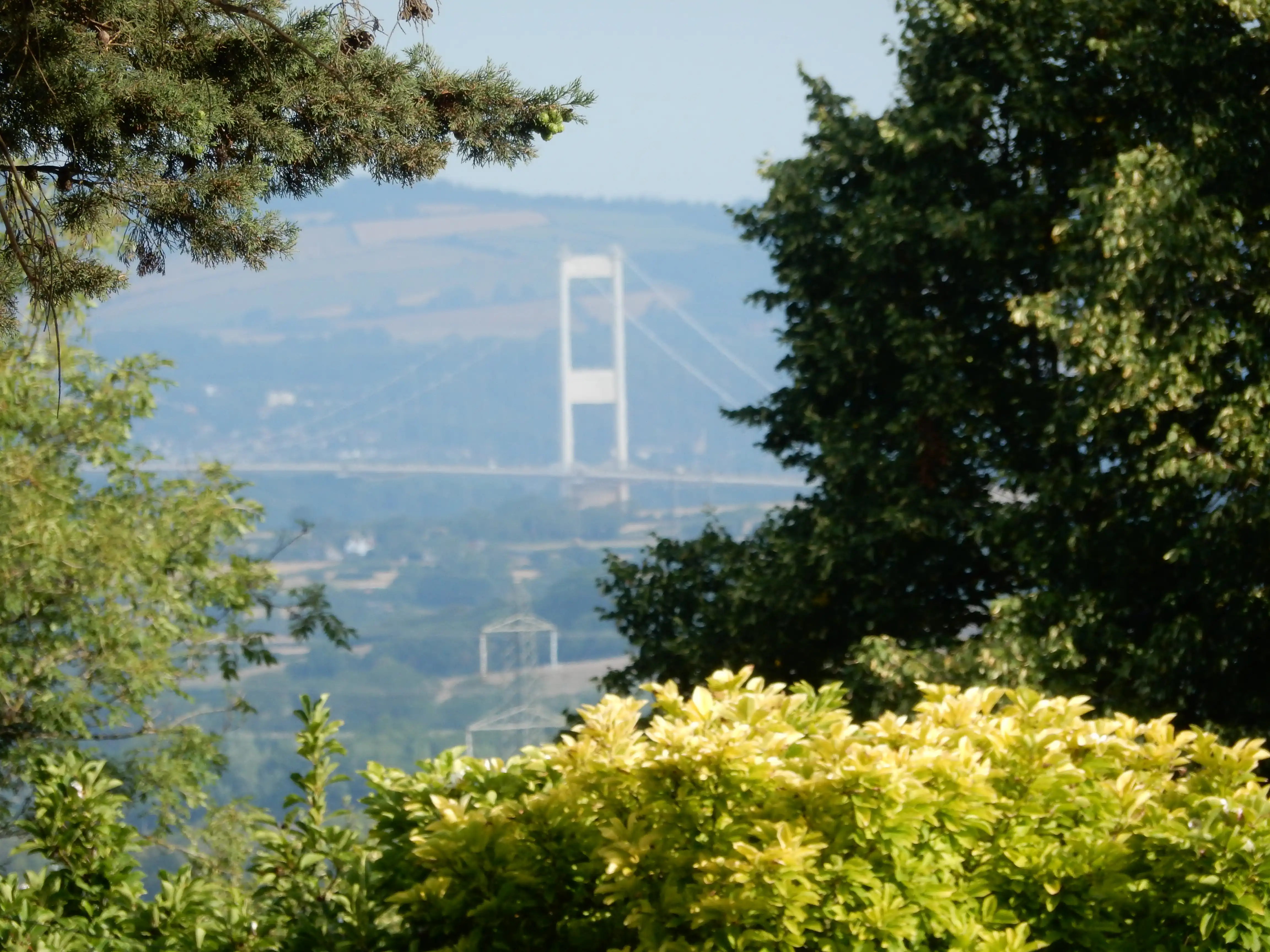
Almondsbury, 86 metres ASL, affords a brief glimpse of the Severn Road Bridge, nearly five miles away. Almondsbury also marks another bit of a landmark moment. To be sure, the A38 does have reasonable stretches of footway to the north but, as you leave the urban environs, these stretches become increasingly sporadic. For the most part, there is a verge wide enough but (generally) it is not mown to a walkable condition. This is nothing unusual. No council throws resources at a problem experienced by few people. The difficulty, however, is that alternative routes are not easy.
My irritation is compounded by disruption to what footway there was. Typical is that occurring at Rudgeway. A cycleway is being added to the western side of the road. How far this might help those on two legs will be clearer after spring 2027.

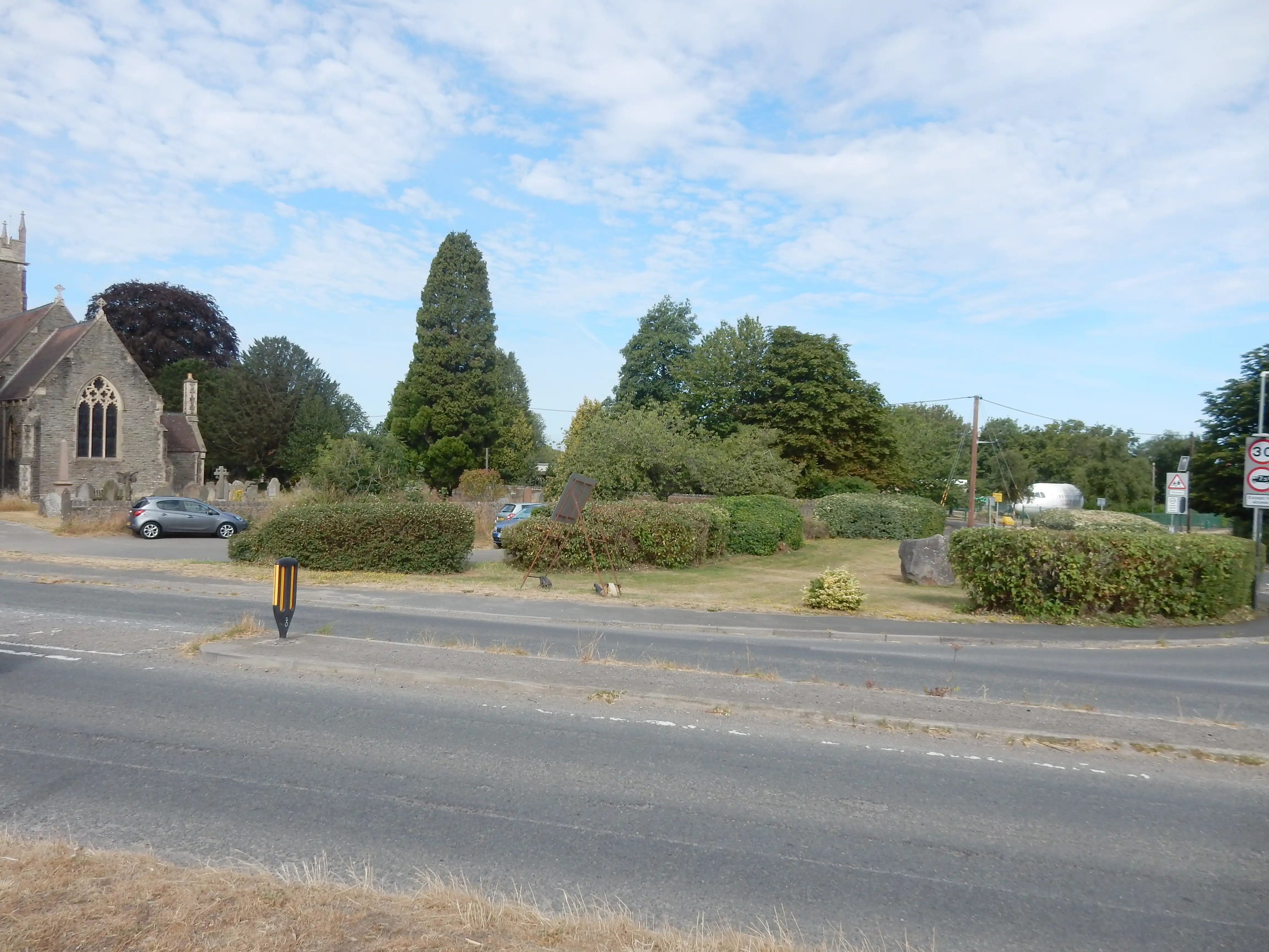
St Helen's Church at Alveston caught my eye because of the huge boulder sitting outside; someone made quite an effort to mark the Millenium. Also visible in a school, just up the lane behind, is a section of repurposed airframe. I can't have really left Bristol yet. I get a closer look at it because pedestrians have to divert along David's Lane whilst the roadworks continue 😒
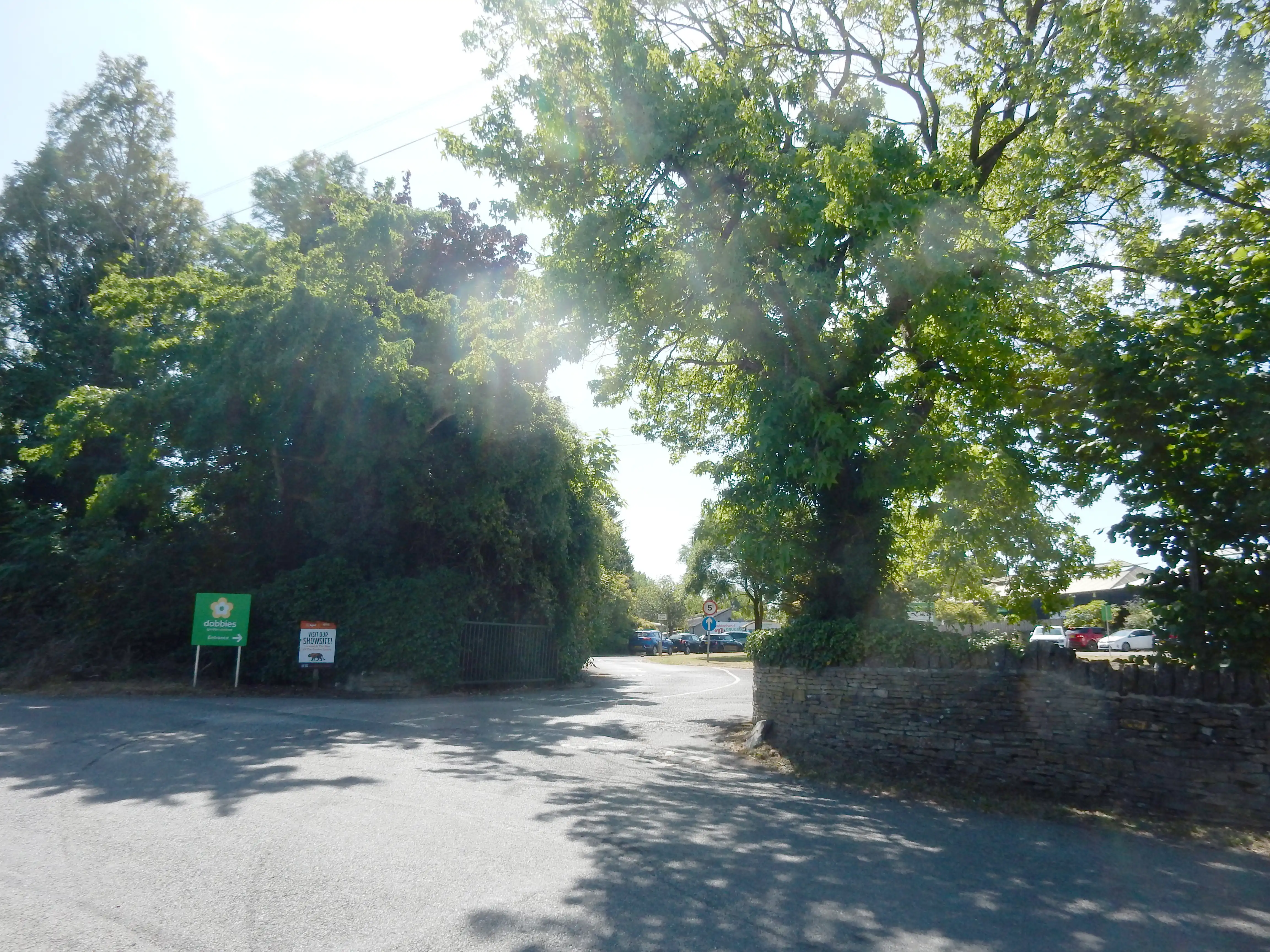
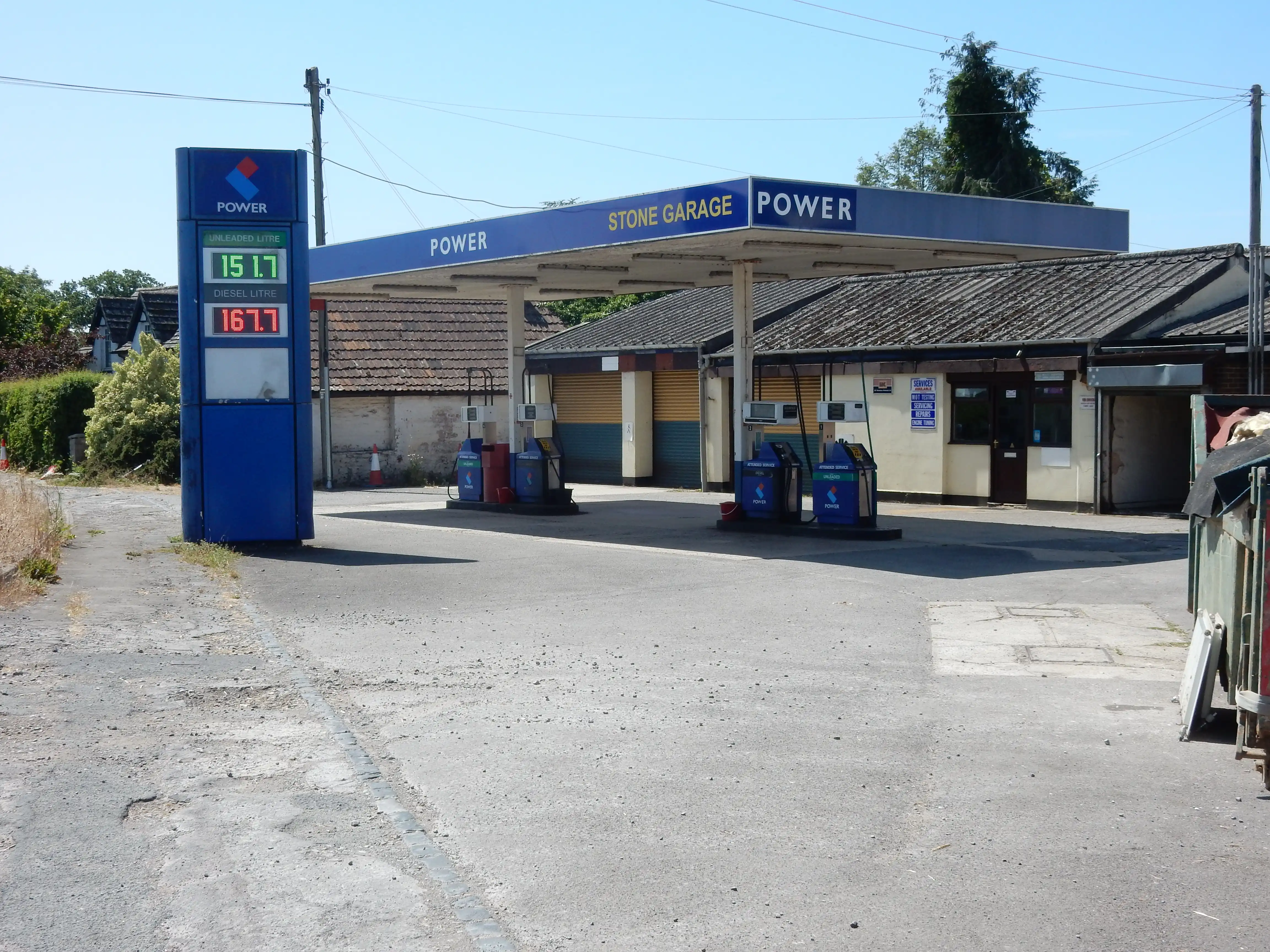
As planned, I drop into Dobbies Garden Centre for a full breakfast. Forty minutes is an extravagance I do not regret; no further fuel stop is made today. I also take on board an additional litre of water. Shortly after brekka, as I begin a descent of about 50 metres towards Whitfield, I am treated to this rather fine view of the Cotswolds at their south western corner. Not so fine are the filling stations at Stone and Berkeley Heath. However, I happily exchange the entire Cotswolds for a litre of water from each of the latter places. Ditto the litre I obtained from the village stores in Newport. As the sun climbs higher, and the air temperature pushes up towards 26 degrees, it all proves not to be an overabundance.


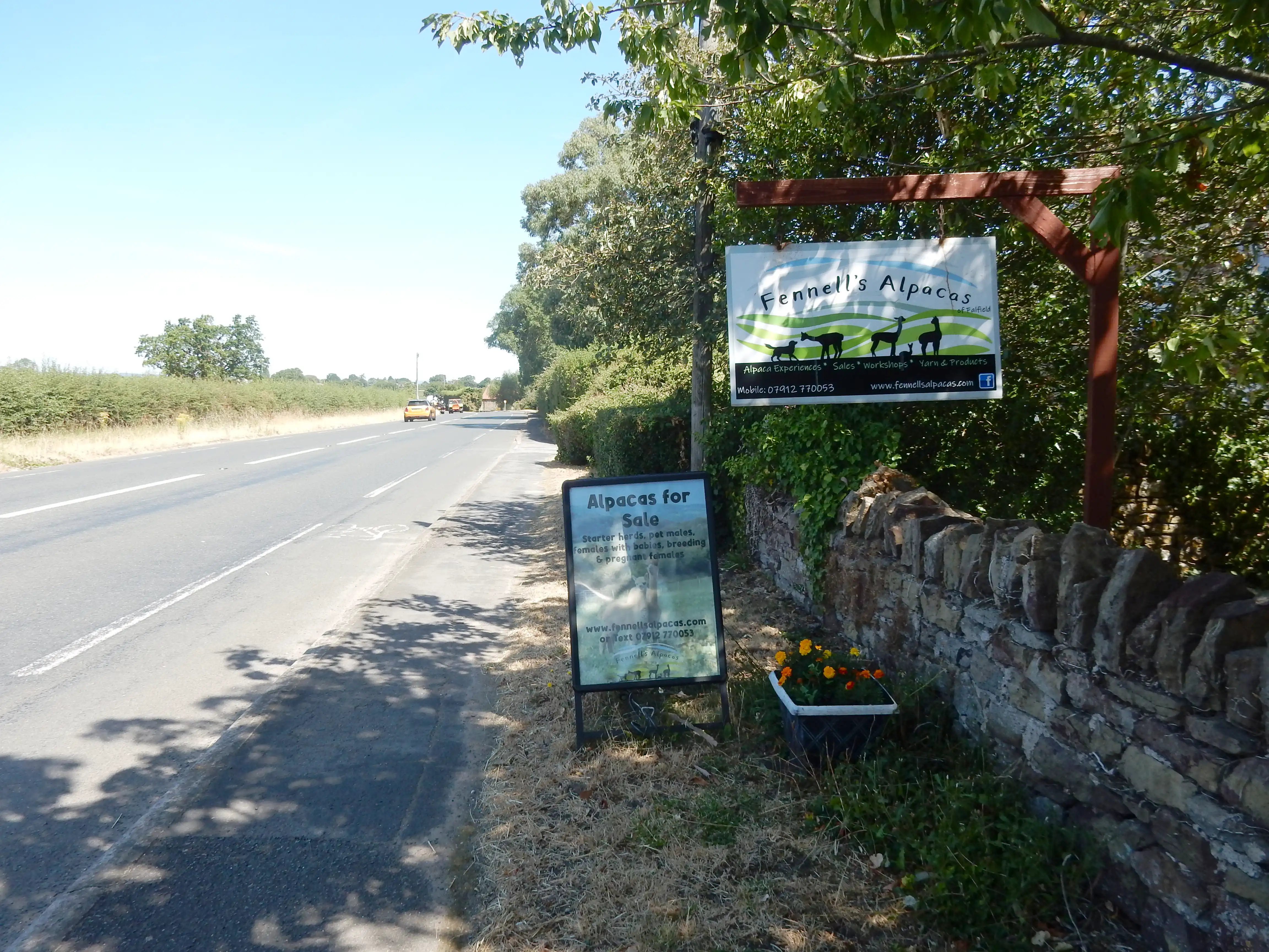
Leaving Bristol, I did not know whereabouts alpacas might be purchased in numbers sufficient to complete my walk. Happily, Falfield has a solution to this common predicament. At my local M&S they should hang their heads in shame; so inadequte is their provision of Camelus pacos. Do they expect a walker to buy Vicuña instead?[12]
Walk notes (3).
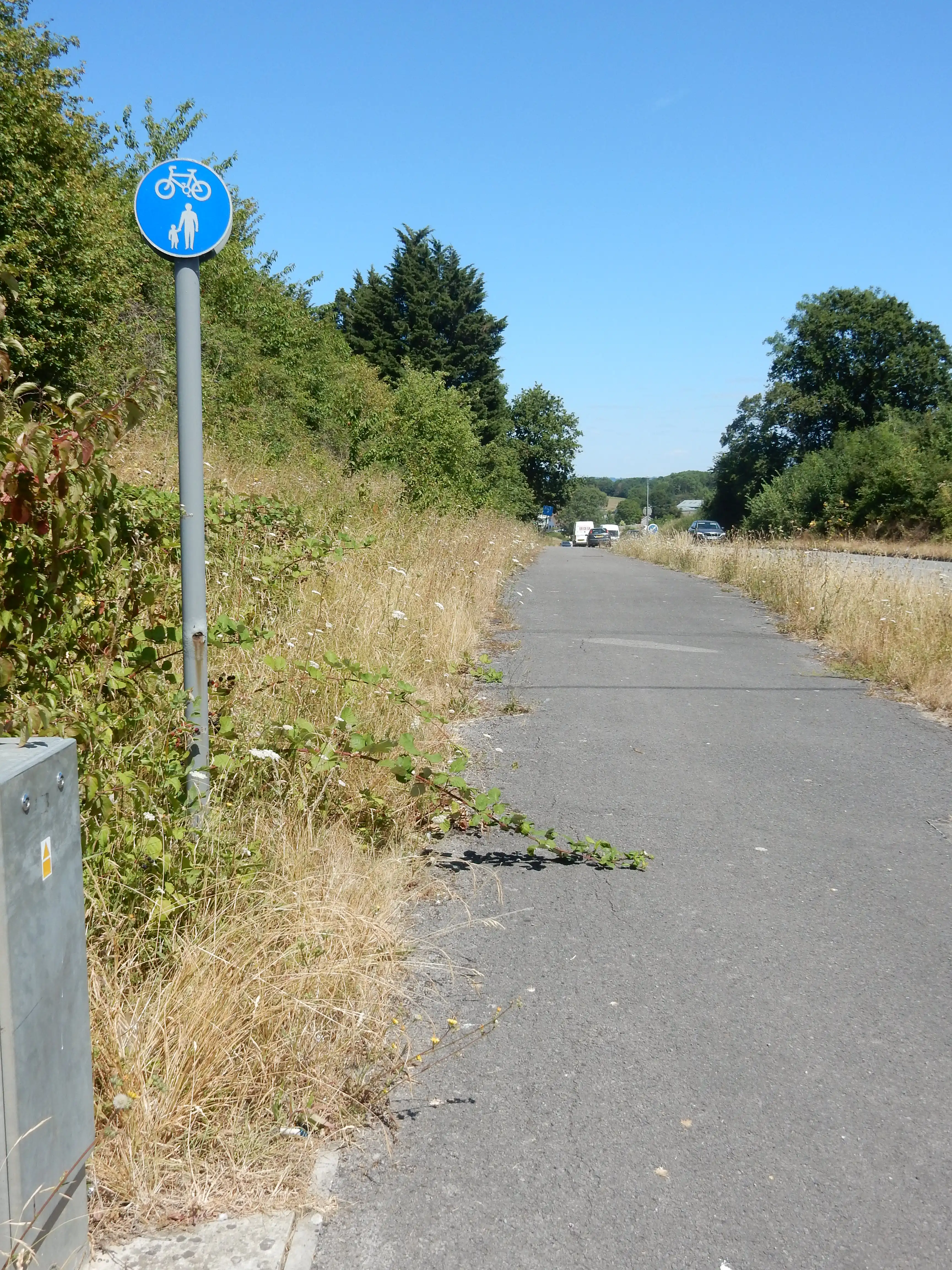
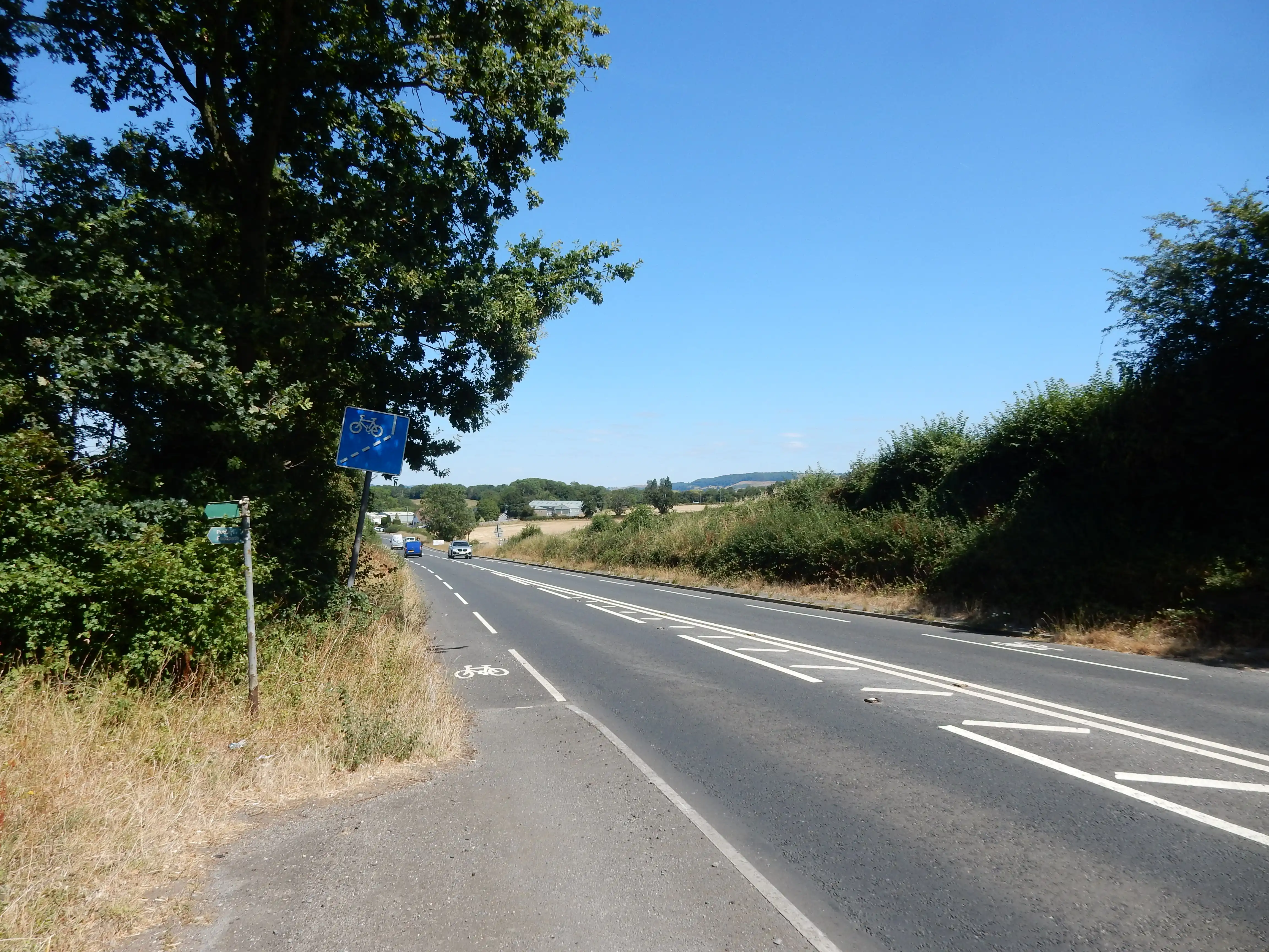
Passing the van and lorry auction west of Dursley, the
signs are still good. Ride your bike here. Walk this way.
Well, for another 85 metres you can, until
///this point. Mr Bike gets his
own lane (on both sides of the road) but Mr Hike can go swivel.
The verge on the eastern side of the road is wide enough for a
footway, and indeed, there is one - but only for 100 metres
further until the

sign, then that's your overgrown lot. It's unclear what a
walker is supposed to do thereafter. Activate your one-man jet
pack and fly into Gloucester? Employing much chutzpah, you might
continue along the eastern side of the A38 using the bike lane,
as far as the
River Frome, where even that lane disappears. It would be
unpleasant, though - which is really not the idea of the walk.
It's all rather a pity. The A38 mainly adopts the route of a
Roman road - normally good walking, even today.
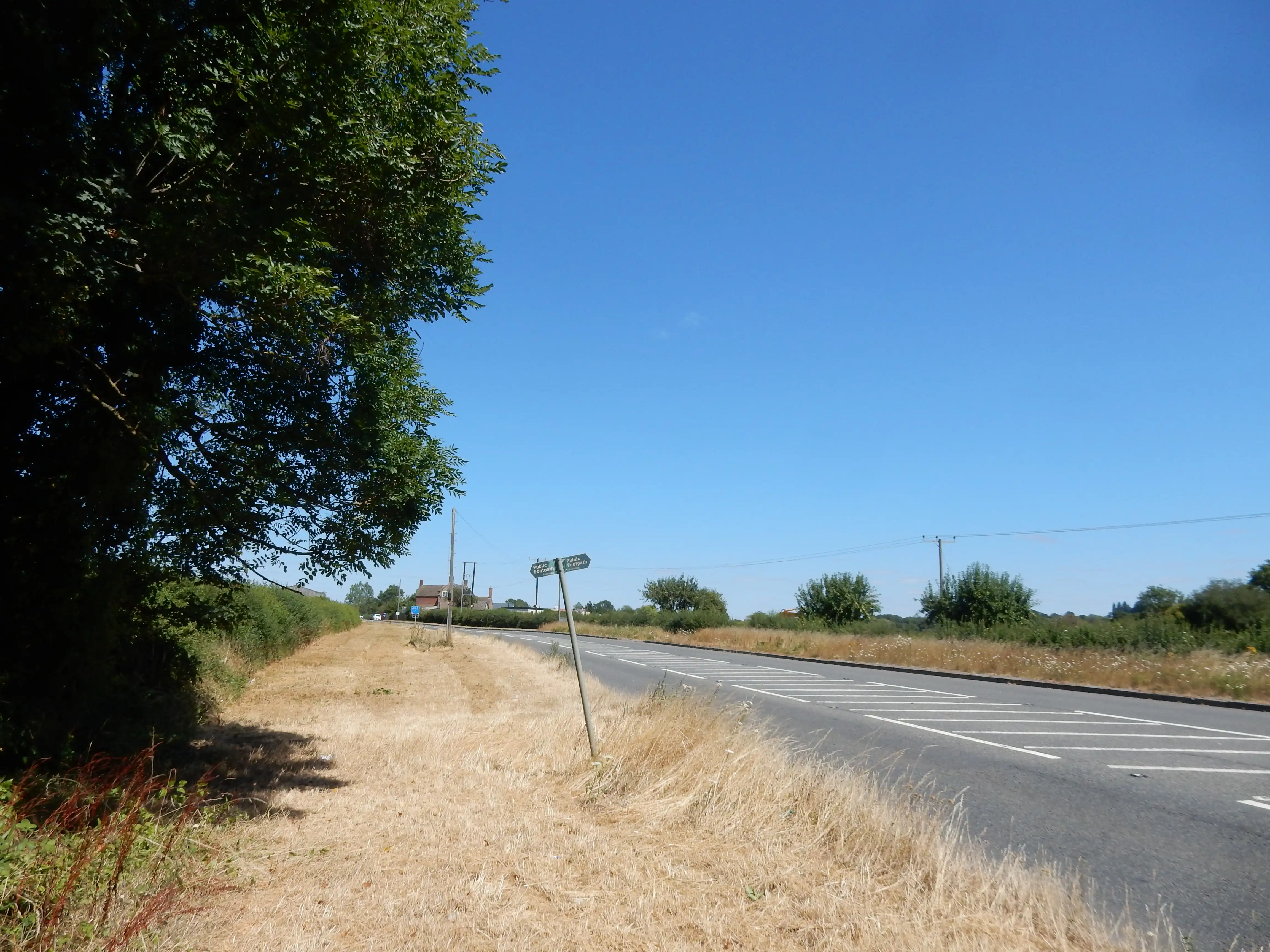
So, Plan D: abandon the A38 where it is crossed[13] by the footpath from Dursley and go off-road towards Slimbridge. This little diversion is a decidedly rural contrast to the Gloucester Road, and a bit difficult. Half is in-road walking and the rest is mainly 'virtual path' (so little walked that only GPS can tell you if you are on course. The path leading away from the A38 is so choked with brambles and nettles (and the rest) that secateurs are needed to open up a way through. The stile has seen better days, too 🙁
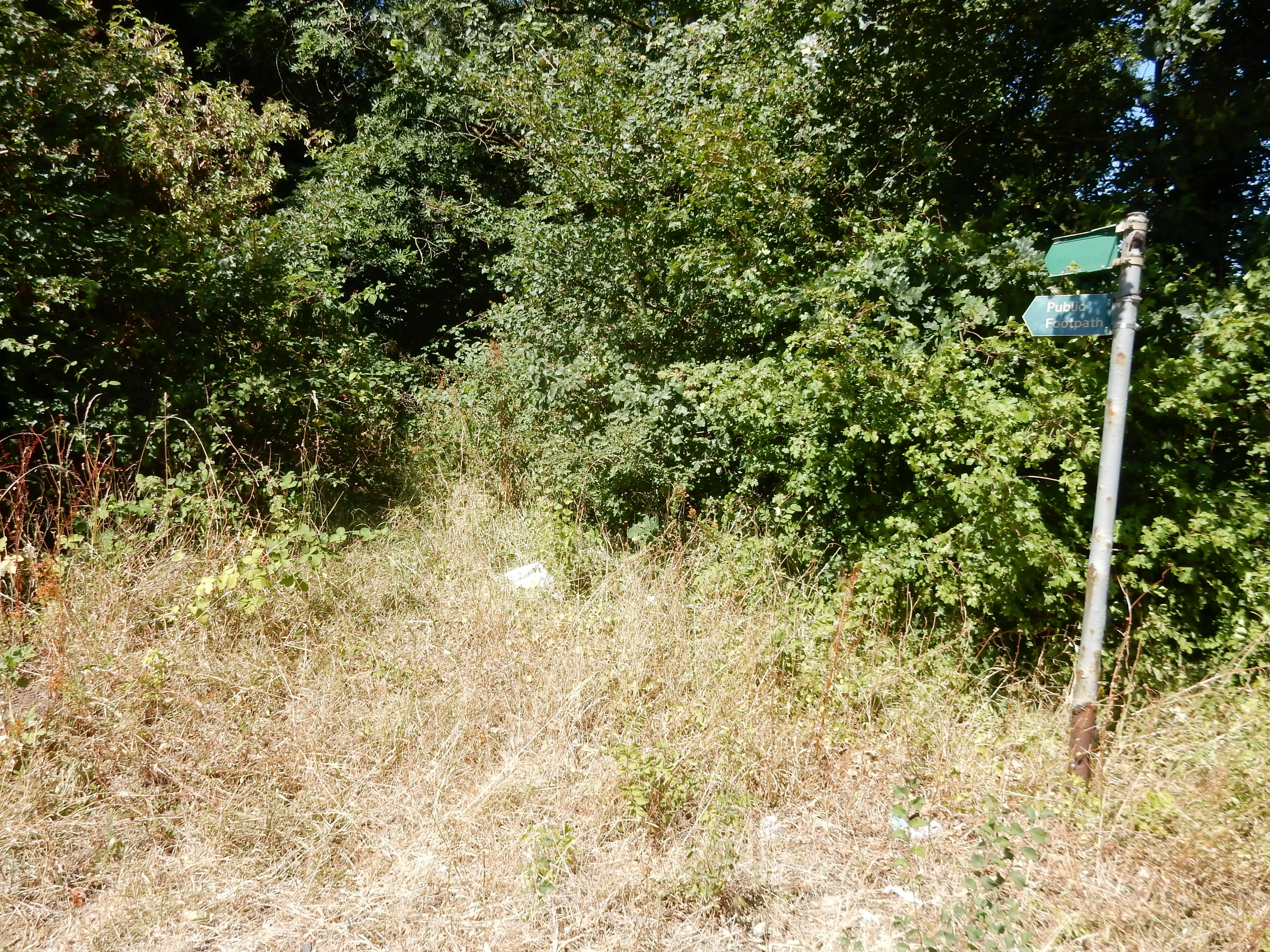
After 100 metres or so, I reach an odd little clearing with a small, dried up pond at the far end and, beyond that, a large field enclosed by an electric fence running right across the PRoW. No worries; I can, I do, I must go round. Following this effort, I am rewarded by the sight of Tumpy Green Lane. It sounds nicer than 'the A38', don't you think? It, too, lacks a footway, but the walker doesn't mind at all. He sails over the Gloucester to Bristol rail line knowing that, in another eight hours or so, his train will head back south along that very route.

The first ½ mile of this cross-country hop sets the pattern for the remaining two miles: a mix of country lane with next to no traffic, open fields, sometimes with a definite path and sometimes without. Sometimes easy walking and sometimes overgrown, obscure and impenetrable. An alternative would have been to leave the A38 earlier, at Berkeley Heath. This is three miles of much the same territory; but might it be less neglected? Fortunately, either route takes me past the Tudor Arms, just before the canal. Miles back, I drank the last drop of water from the filling station. It's 17:00, and there is no other opportunity for more until Gloucester - a further 12 miles. This pub saves my life.

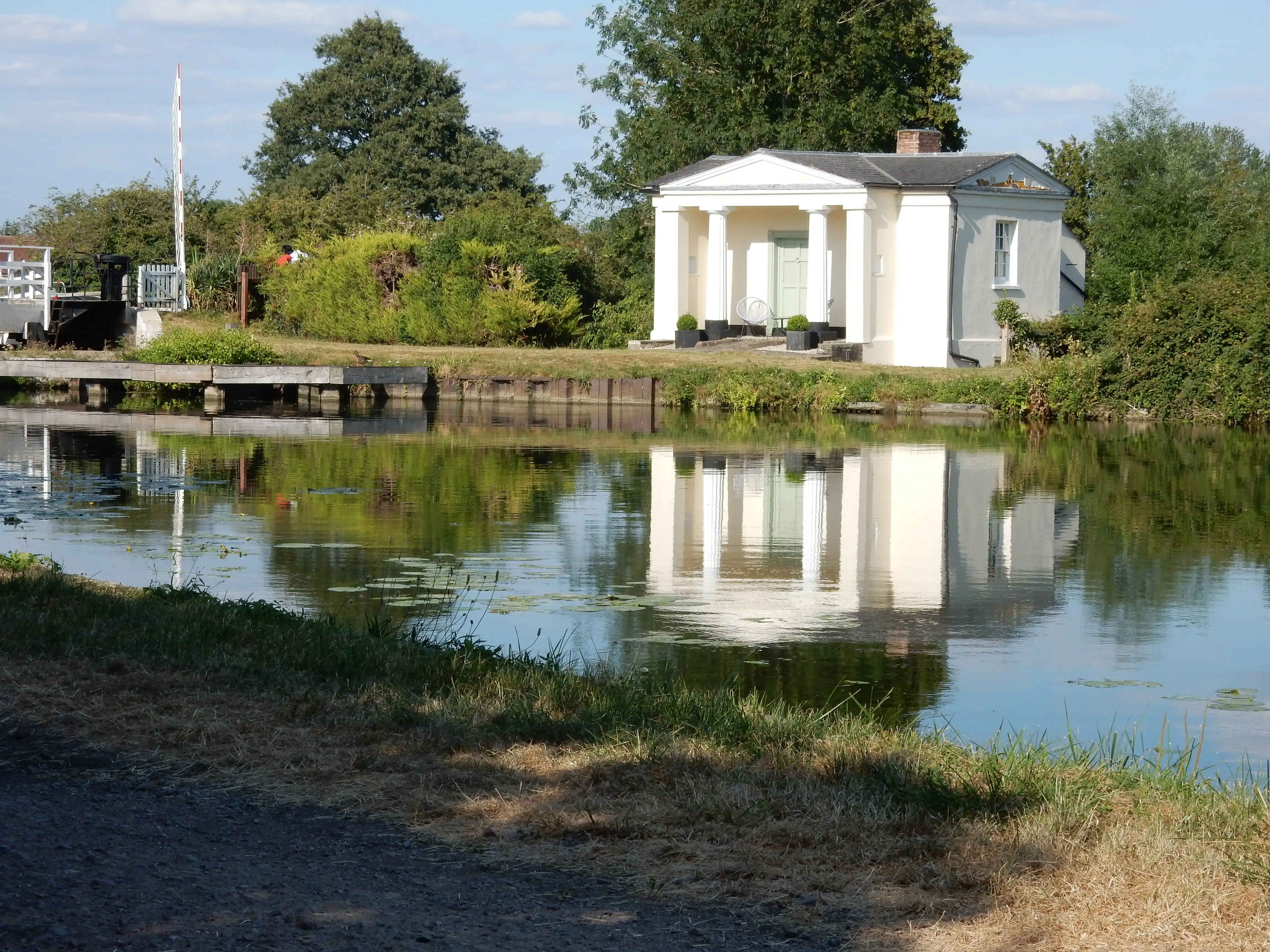
Well, it's taken quite an effort to reach the Gloucester and Sharpness Canal, but it proves the right choice. The towpath is shared with cyclists moving at a respectable lick, but I will take my chances with them anyday rather than with an HGV on the A38, thank you very much. A great way to reach central Gloucester. Simples! The canal is also a lot easier on the ear. Well, I think it is simples, but the OS planner avoids long stretches of the towpath because they aren't PRoW. Perhaps they are Canal Trust 'permissive path' - without guaranteed access. Whatever, there is no problem today.
Navigationally simple it may be, but the canal features little scenic variety.[14] For the most part, the line of trees along each bank obscures any view beyond. This drawback turns out to be the least of my worries. After 16 hours using GPS, the battery in my 'phone croaks it's last. My reserve power pack, which earlier had reported it's charge at 50%, turns out to have closer to 20%. So I reach Gloucester in the embarrassing position of having run out of daylight, direction and time to catch the 22:18. I therefore fall back on primeval navigational aids, and harass other pedestrians to point me towards the station; "You're two miles from it." is their estimate of pessimism. I do not respond that I started the day thirty seven miles from it.