
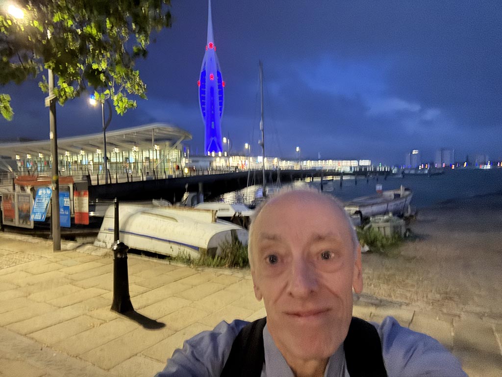
Parametric data
- Route name:
- Portsmouth
- Start point:
- Portsmouth, also shown on ///what3words.
- End point:
- Guildford, also shown on ///what3words.
- Synopsis:
- A long distance route[1] offering a variety of walking surfaces and scenery,[2] but mainly following the A3 through the counties of Hampshire, West Sussex and Surrey.
- This route on OS maps:
- https://explore.osmaps.com/route/28945292/ ...
- OS Explorer sheet ref(s):
-
OL03,OL08,OL33and145. - Distance:
- 44.4 miles walked, 38.4 miles flown.
- :
- 17.5 hours.[3]
- Ascent:
- 716 metres.
- Stiles:
- 0 (zero).
- Landmark of note:
- The memorial to the Canadian Services at Bramshott.
- Feasible excursion:
- Liss to Liphook.[4]
- Waypoints:
- Portsea, Landport, Stamshaw, Hilsea, Portsbridge, Highbury, Cosham, Portsdown, Widley, Purbrook, Waterlooville, Cowplain, Horndean, Snell's Corner, Clanfield, Butser, Causeway, Petersfield, Sheet, Prince's Bridge, Lower Green, East Liss, Langley, Chapel Common, Wheatsheaf Common, Newtown, Liphook, Bramshot, Nutcombe, Hindhead, Thursley, Witley Common, Mousehill, Milford, Ockford Ridge, Godalming, Farncombe, Peasmarsh, Artington.
- Fuel:
- Breakfast at the Hampshire Hog. At a hostelry so named, it would be rude not to do bacon.
- :
-
 11°C,[5] 🌦️
Cool for June, but temperature wasn't the problem.
-
Free of in-road walking: -
 The section between Liss and Liphook is mostly in-road, but
traffic is low or very low. The Old Portsmouth Road at
Thursley lacks a footway.
-
Footpath construction: -
 Across Chapel Common you're on
natural.[6]
-
Footpath condition: -
What should have been footpath seemed more like stream.
Route popularity:-
 You see (and hear) many others along the A3. As for those on
foot, it's a different matter.
-
Vistas: -
Hindhead and Gibbet Hill are fair, but I wasn't stopping to
admire. Butser has (possibly) the best views in southern
England, but the diversion is impractical.
Blackberries:-
Nothing doing that I saw.[7]
Route map.
Walk notes - 1
When does summer begin? Opinions vary. Astronomical reckoning places it a further two weeks away (on the solstice). OTOH, the meteorological view is that it is already here, having started in June.
I know - you're wondering why this matters. Well, it decides who has made a mistake: me, or the weather. Being deluded into thinking that it is summer, I bring with me my 'summer' walking boots. These are great because they are light weight and are ventilated (or 'breathable') so that my feet don't overheat. This matters if you wish to avoid blisters. During a 44 mile trek you do so wish.
The downside to summer boots is that they are hopeless in very wet conditions. If perspiration can breathe out, then rain breathes in. "Don't worry", thinks I, "It is summer, when we never get rain." No laughing, please. I mean, this time last year it was bone dry for months before and after, right? OK, the forecast is truly dire but then they've been saying "rain" for the last week and nary a drop did fall. Crying "Wolf!" it is.
For the first ten minutes, my gamble pays off. I leave the hotel in shirt sleeves and make my way over bone dry pavements to the harbour. As usual, I go to take a snap of the start and ... there's drizzle hitting the lens?? Dohhh. Out with the waterproof, I suppose.[8] After a lengthy struggle against the sea breeze and a stupid zipper (with assistance from a paserby), I just manage to squeeze the mac over me and the rucksack. This little entertainment is repeated each time I need access to the latter; e.g. for my camera. For that reason you don't get many photos from this walk 😣
Michael Flanders
June - it rains and never stops.
Thirty days and spoils the crops.
OK, a journey of a thousand miles begins with a single step. Mine goes east on the B2154 Queen Street and, ½ mile later, I pick up the A3 by the cathedral. The drizzle turns to actual rain. Leaving the City Centre there is but one item of note. I pass the first billboard I have seen carrying an advertisement for Starlink. This draws a wry smile from me through its resonance with two old interests of mine.
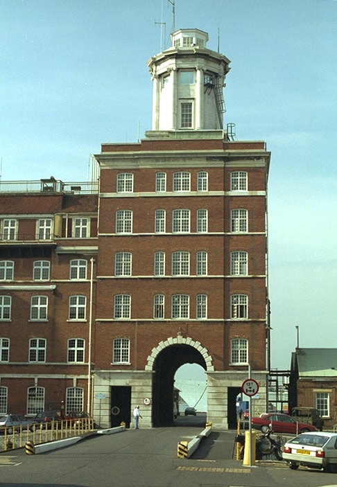
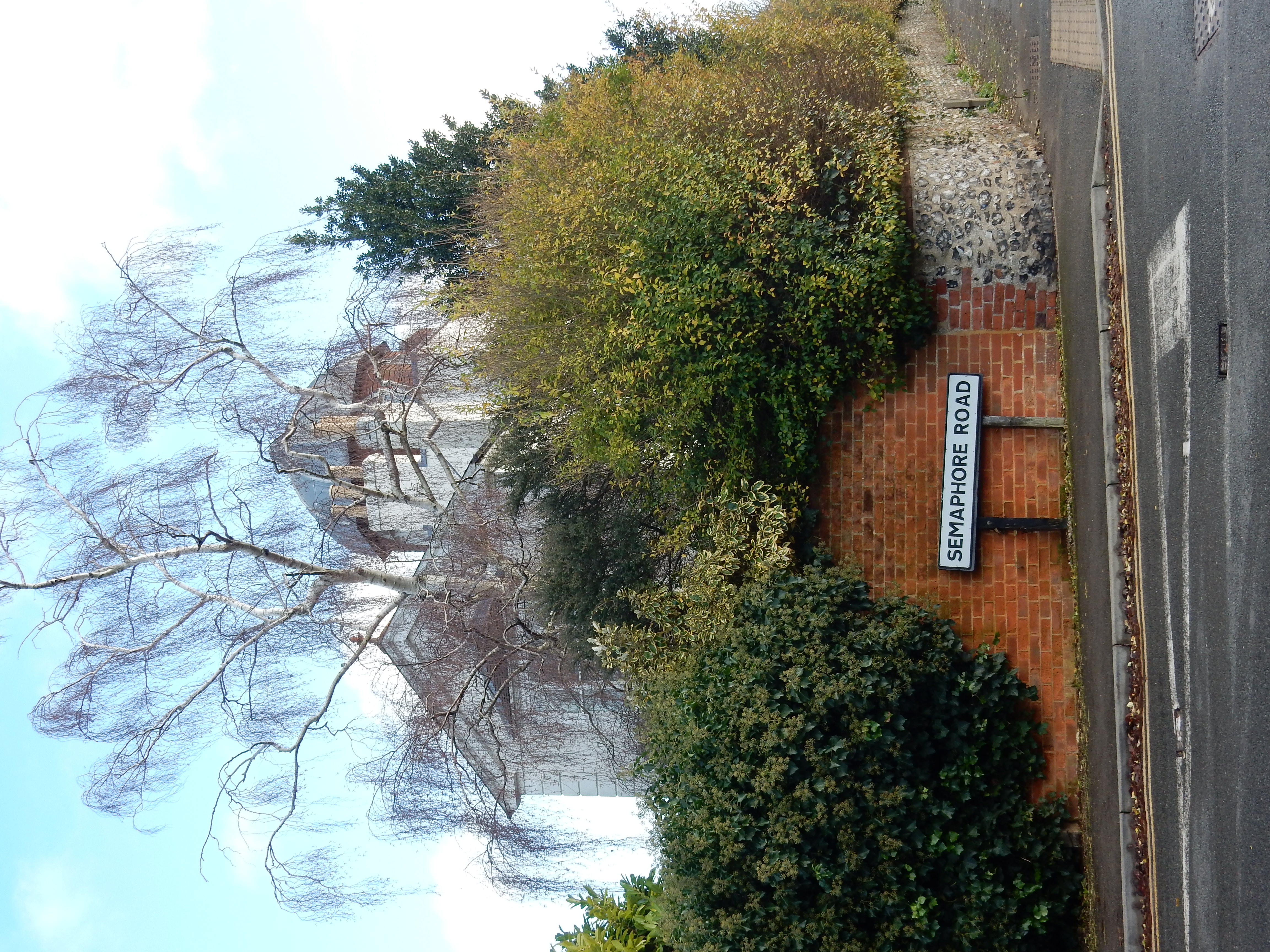
The first connection is with the ¢19 optical telegraph line from London to Portsmouth.[9] Begun in 1820, it ceased operating in 1847 when the electric telegraph took over. My pic of the terminus at the Portsmouth end has been on the web now for almost thirty years. In its day, however, the telegraph could be seen as a progenitor of long distance data communication. One drawback with it was that you cannot see Portsmouth from London. The workaround was to place thirteen 'relay' stations on the intervening hilltops.[10] These were strung out loosely along the line of the A3, and one of these relays was located at Guildford, my destination today, and where I earned an honest crust for over forty years.[11]
Walk (cont. - 2).
The second connection is that, during the 1980s, this labour included the construction of data encoding systems eventually placed atop a rocket and sent into low earth orbit. Looking back on those days, the technology involved seems closer to that of the Georgian era than it does to what Mr. Musk attempts today.
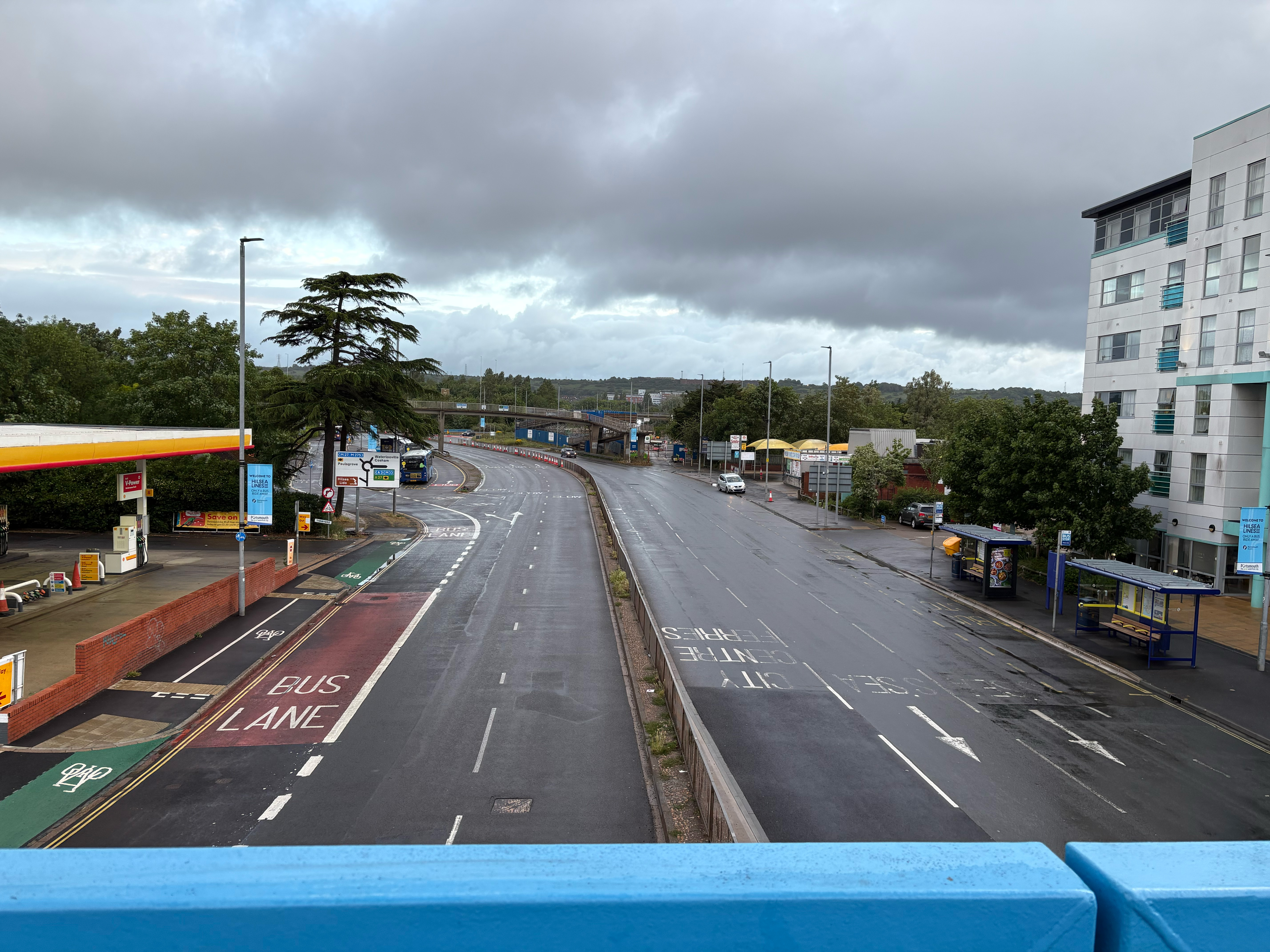
Going over the footbridge at Military Road, the rain eases long enough for me to grab a shot looking north towards the roundabout. I'm briefly puzzled by the lack of traffic, until realising that it is still only 05:20. Zero need to climb the bridge. After Cosham the A3 ascends Portsdown on the slant, making the going rather easier. After the summit, at Widley, Butser Hill and the South Downs loom ahead at what appears to be a light year's distance but which, in reality, I attain just ten miles later.
Not that those miles are entirely fun-filled, because I am hit by a series of cloud bursts leaving me soaked from the legs down. An hour or so later, in the breeze, I begin to dry out when - crash! A fresh downpour strikes. This cycle continues for ten hours. Lovely 😬
Leaving the centre of Waterlooville the now extant rush hour necessitates use of the underpass at Maurepas Way. This I am glad to do because my first visit here leaves me astonished at finding a shopping precinct even tattier than Redhill. I blame engineers for all this. Without their malign internet thing, high street shops would be doing fine and dandy. One profession still thrives: the delivery driver. Here in Horndean we see the DHL guy taking the next load of Amazon parcels toward London along the Old Portsmouth Road.[12]
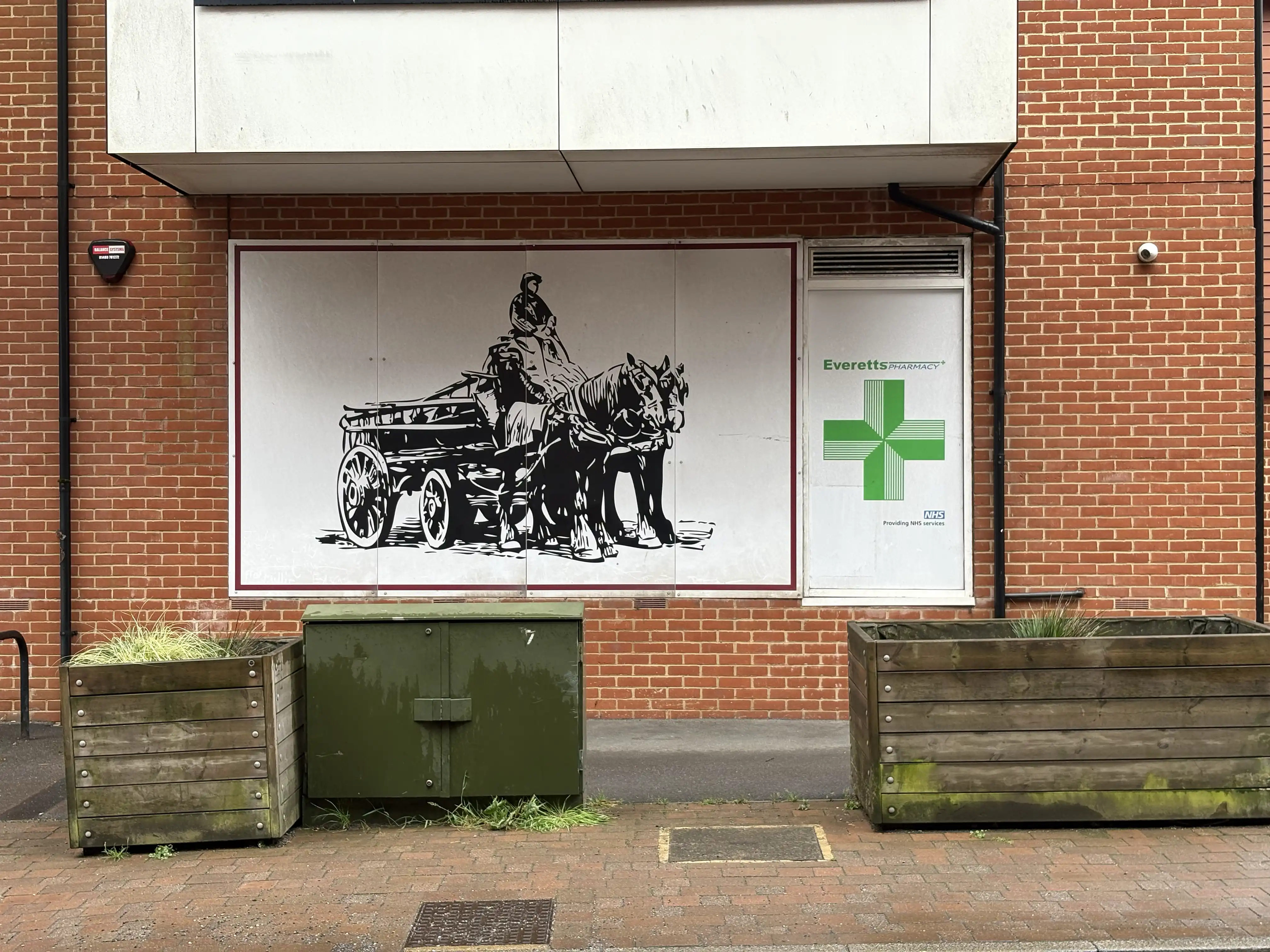
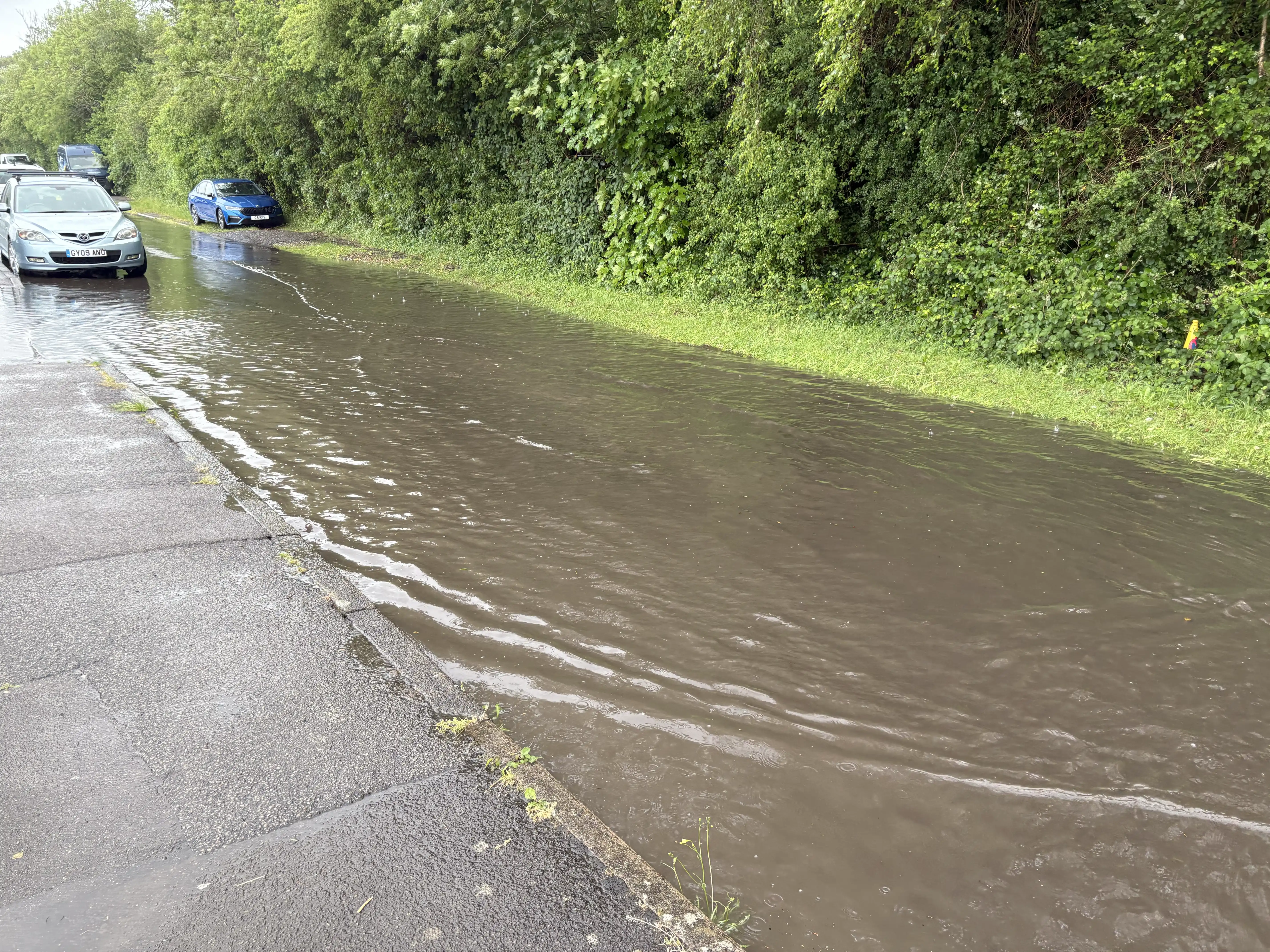
Clanfield is the last gasp of urban sprawl up from Portsmouth. It's taken four hours of walking to get here. By comparison, I can reach the North Downs from central London in under five. The route now starts an uphill stretch towards the South Downs National Park. Half the floodwater you see here has washed down from it.[13] A floodplain and a National Park? Mr. Developer is rubbing his hands already. Do his plans include a footpath, though? I ask because at this point a quite respectable one begins, advertised as leading to Chalton and the Queen Elizabeth Country Park. Be not deceived, however. It goes only as far as a little way down Chalton Lane. Thereafter you have an in-road walk of about ¼ mile. The verges are quite wide but uneven, long, wet grass.[14]
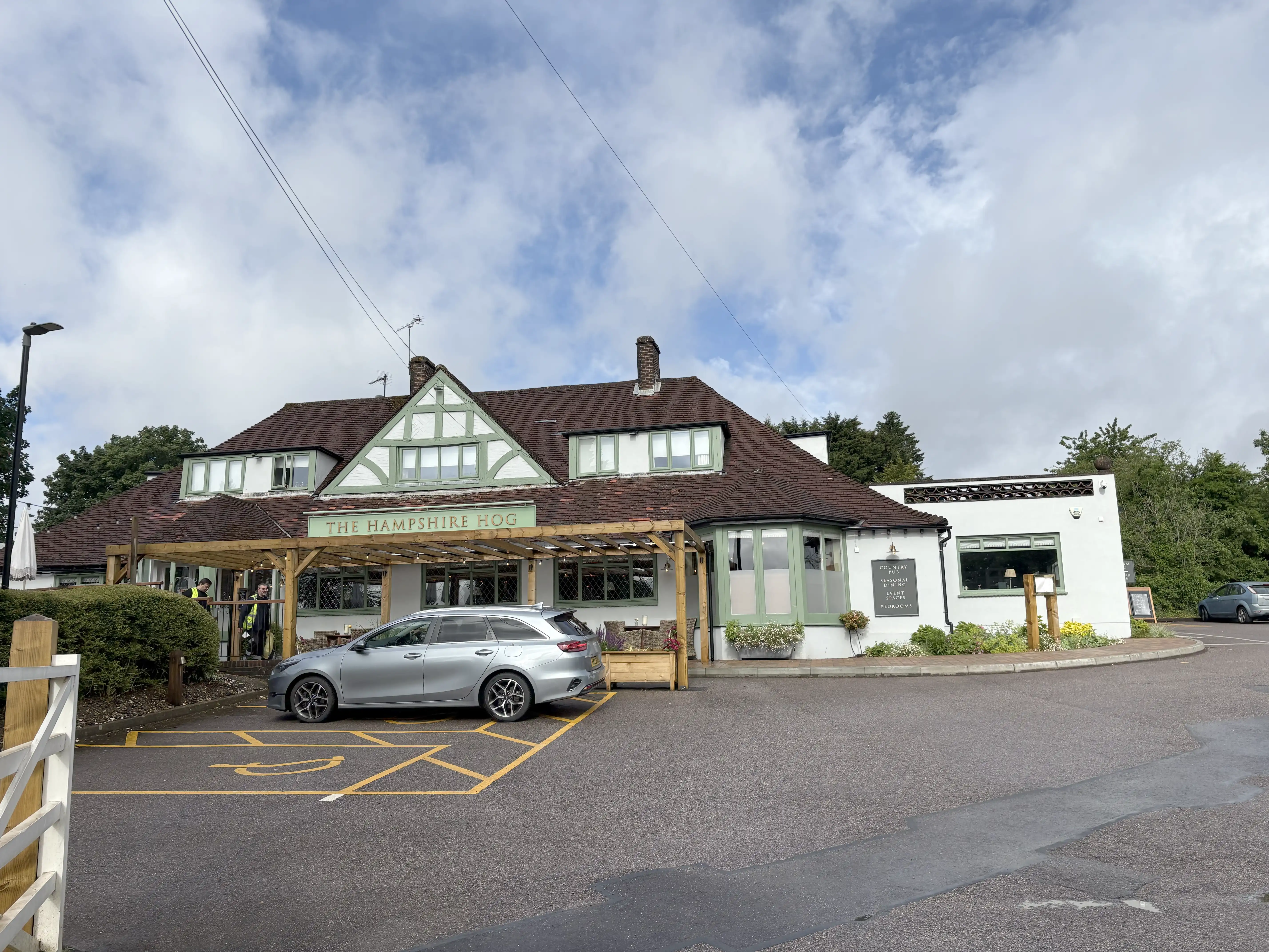
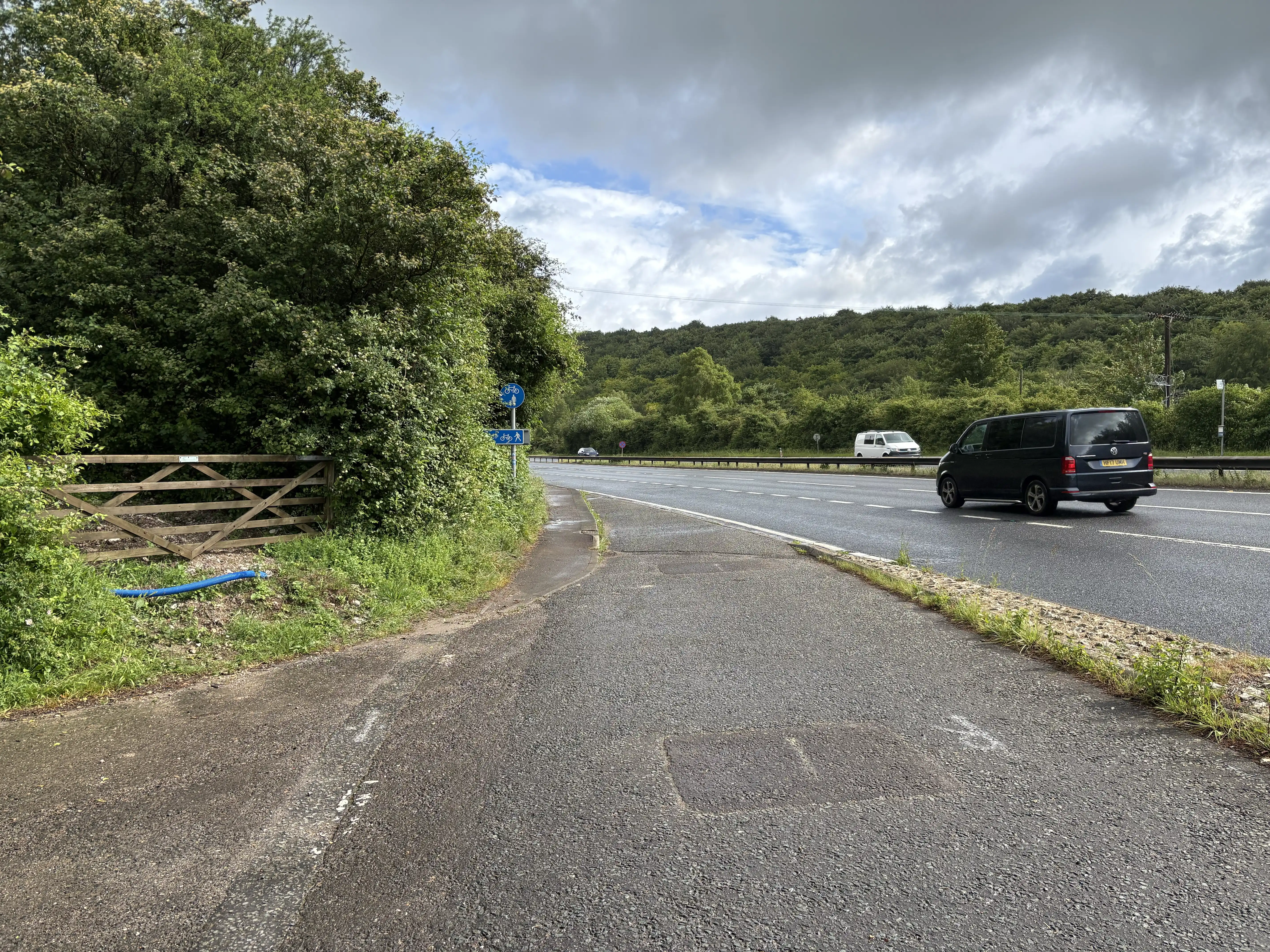
The QECP offers breakfast only from 10AM, so my last opportunity is the Hampshire Hog. It is a wonder I am served, given the waterlogged state in which I arrive. I leave 25 minutes later feeling slightly drier and fortified. 130 metres north of The Hog, a finger post indicates the start of a footpath, off to the right, heading downwards to the A3. It appears (although I continue via it)[15] to be a derelict right of way, and I might as well have stayed on Gravel Hill Road. That has a perfectly useable footway until about ten metres from the A3. After a short but disagreeable stroll to Hilhampton Bottom, I nip under the A3 and push on round the QECP towards Petersfield. It's only just gone nine, but there's a good ⅔ of the walk still to do, including the 'tricky bit'.
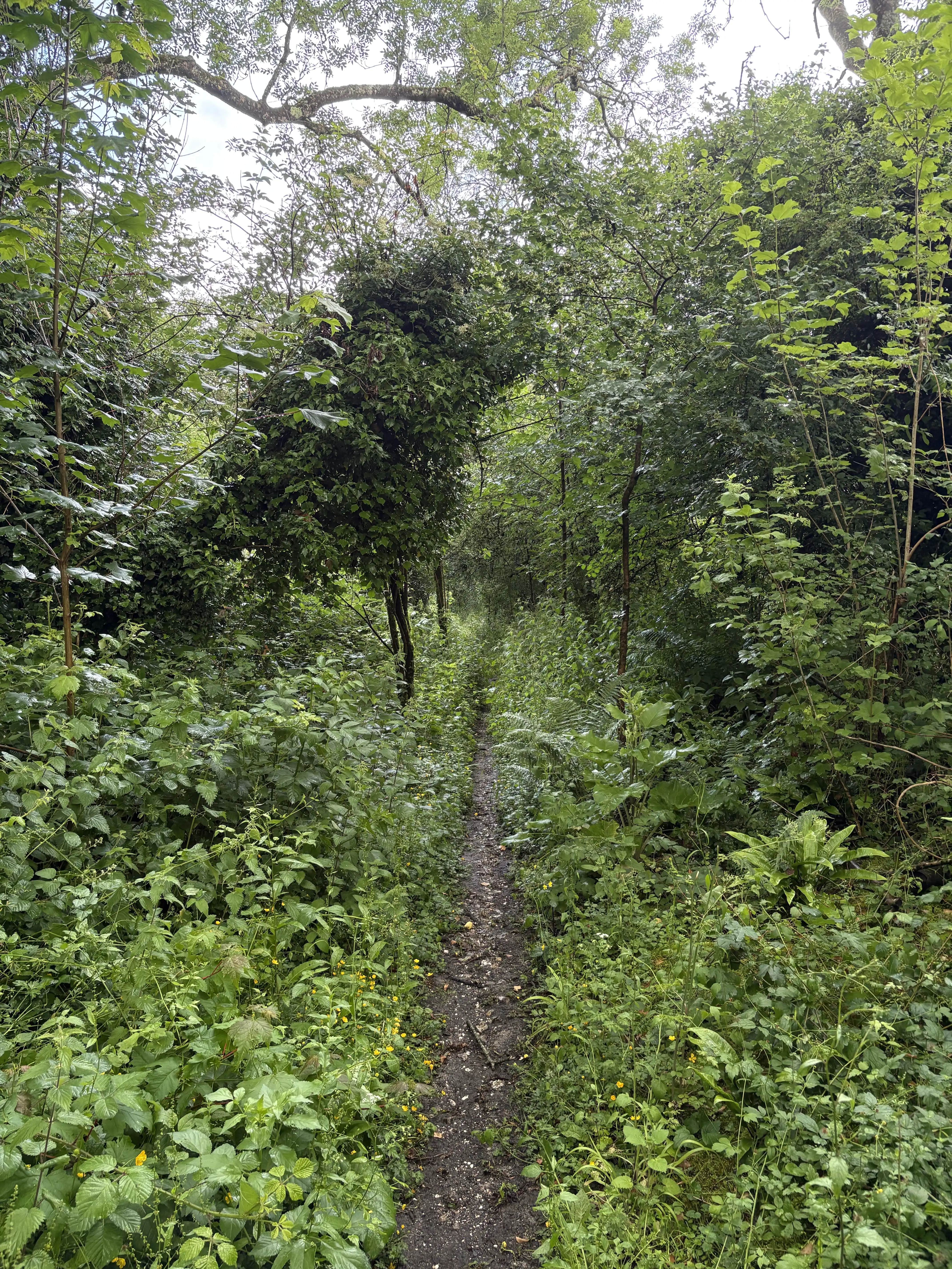
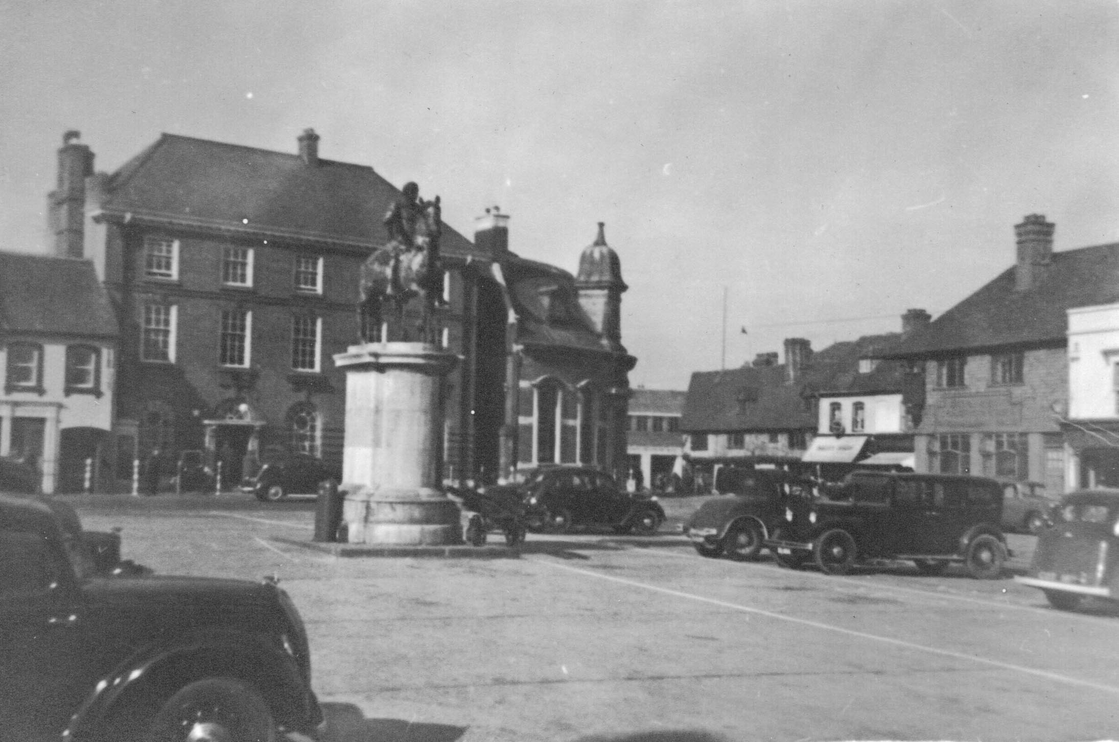
circa 1940.[16]
Walk (cont. - 3).
Perhaps you can understand why the planners of the Petersfield bypass don't bother with a footway. They imagine pedestrians will prefer to cut through Petersfield on the B2070 (AKA 'Old Portsmouth Road') and save themselves, oh, 150 metres - maybe. In the case of this pedestrian, they are wrong. I'd rather stay on the A3 for the same reasons the motorist does: speed and ease of navigation. So far as I can make out, the bypass only opened in 1992, by which time the needs of pedestrians should have been a consideration.
To prove my point, leaving Sheet, I go under the rail line and recall that there is a right turn coming up. So, too soon, I take the footpath going back round Burntash Farm. Five minutes wasted. The correct turn, along the The Shipwrights Way, is very inconspicuous, but OK once you know it's there. In Brighton last year, I was better prepared, having walked every section at least once beforehand. About all that I have managed before today is QECP to Petersfield.
At Tankerdale Lane I continue straight past, taking advantage of the good footway along the A3. This isn't such a great idea as I first thought because said footway only goes as far as the garden centre in Farnham Road. After that is 230 metres of quite nasty in-road walk. Better, probably, to go down Tankerdale Lane and make your way across to Hill Brow Road (B3006 - includes a footway). There's no footway past Stodham either but the traffic is light. You're spared an earful of A3 that way, too.
After Liss, there is in-road walking again of very minor lanes with few passing places; so vehicles tend to avoid them.[17] I wish the rain would, too -
From just before Langley until the B2070 you graze the north west corner of West Sussex, including Chapel Common containing ///this point, where the correct path is not obvious. There is no actual roundabout here but, if there were, then you would take the third, and rather unpromising looking exit at about 30 degrees off to your left.[18] It's relatively hard going, and something of a Hobson's choice. To the north you are blocked by Longmoor Camp. To the south runs the Old Portsmouth Road with its obdurate lack of a footway. On another day, I might try to bypass Liphook using the Sussex Border Path, and join the A3 at Bramshott Chase, but that doesn't much appeal.
Leaving the South Downs National Park and Liphook, I pause at the old bridge taking the London Road over the the River Wey. As I knew it would, continual usage of GPS for the last five hours has clobbered the battery on my phone. I take out a reserve power pack but, in haste, replace the 'phone in my pocket with the connecting lead pointing upwards.
An info board here explains the
archaeological findings
at the locality. On the bridge itself is a memorial plaque
to British and Canadian members of the armed services during
conflicts of the
¢20.[19] I soon resume my walk alongside the A3, starting
the long, straight climb up towards
Hindhead.[20] As I do so, a tintinnabulatory alert from my
'phone informs me that 'Liquid is detected within the USB
port. Several hours may be required for it to dry out.'
The pelting rain has trickled down the charger lead. There is
less chance of it, or me, drying out in the next couple of hours
than of India drying out during the
monsoon.[21]
Walk (cont. - 4).
I reach the underpass at Rectory Lane, and use it to cross the A3. The path immediately climbs back up to the level of the road, but I notice wide areas surfaced by old concrete. These I take to be the foundations for the WWII encampment mentioned by the notice at Liphook. At the end of one such ///surface the OS shows the footpath reaching the A3 directly. This is not strictly the case. I approach to within perhaps twenty feet of the A3, but see just a crash barrier blocking further progress. Had I looked more carefully then I might have seen that the path actually turns right and runs along behind the hedge for several metres before emerging by the road at the end of the barrier. In confusion I struggle on for ½ mile north-eastwards, inside the old camp, along an uneven, overgrown, waterlogged, derelict track.[22]
Some while later, back on course, I use the underpass at Nutcombe to cross over to the A333, as it heads towards the new mini-roundabout now substituting for the old traffic lights that once regulated the monster queues formed before the tunnel was dug. That, of course, was some years ago. Having read little about was has been done to the old A3 at the Punchbowl, I decide as I enter the NT area to fork right onto the footpath that still runs a little way to the east of the superseded road. Is the latter now overgrown and soggy?
The footpath has an additional feature in the form of the memorial to the unknown sailor murdered here in 1796. This was eight years prior to Welham Clarke's journey on the same route. Little wonder that Welham held a cutlass at the ready. From the Sailor's Stone I can look down the side of the Bowl to the line of the old A3 as it curves away to the north. I went by car along that several times, but not now; no sign of tarmac whatsoever. I find this section is quite pleasant to walk, free as it now is from the roar of traffic. Is that bird-song I hear? No navigational difficulties, either. However, I fear for my left foot, in particular. The sock, which in the dry would cushion the heel at every step, now provides no protection against foot movement within the boot. For certain, there's going to be trouble.
So, I pootle for several minutes more along what is obviously a footpath when I reach somewhere near ///this spot, I think, which slightly more resembles a roadway. Only slightly, mind you. Surrounded by overhanging trees, it's so dark that I don't even think of taking a photo. It's probably a driveway over to a farm somewhere. After continuing north along this 'driveway' for twenty minutes doubts set in, but it just never occurs to me that I'm going along the old A3. You can't look at or listen to it now and think it could ever have been a major trunk route.
Hitting Thursley I can manage only a shake of the head. I've missed something, somewhere; but it's another week before the penny drops. Alright, after a bit of non-scary in-road walk there is the interminable Witley Common to tackle.[23] That does at least take me to 7 PM, a farewell to the A3, Milford and hello terra quite definitely cognita. This happy thought is not erased by a glance down Cherry Tree Road at even more of the ‘R’ word; it's not coming my way. Waitrose in Godalming is my way, as I wish to obtain a bottle of TCP for my feet. Nothing doing, unfortunately. I learn subsequently that the old remedy is effectively defunct. Sic transit gloria mundi.
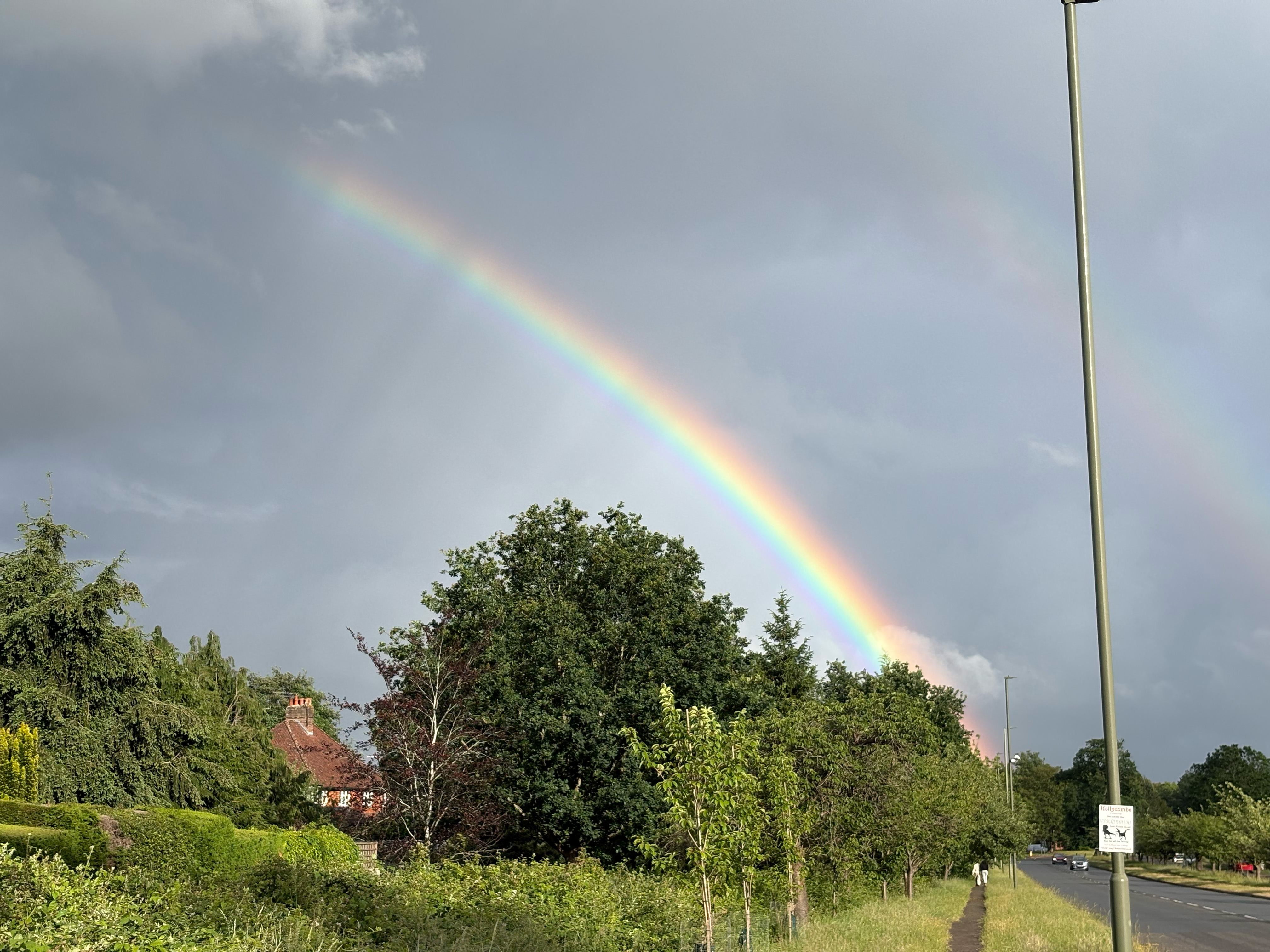
The sun has set, but there is enough twilight to reach Guildford town centre. Of the remainder of my day there is little to report. The A3100, Peasemarsh, garden centres, industrial parks and the like can wait 'till next time. Well, I'm sorry; that's the end of this year's marathon trek.[24] Plans for next year are developing but you doubtless remain desperate to know what the ‘dark autumnal forest’[25] beyond Guildford holds for the Inter-City Rambler. Your curiousity is fully satiable following my walk last May. Anyway, thank you for keeping me company to the end of this walk. How are your feet? All good? That's because you had sense enough to wear proper 🥾