

Parametric data
- Route name:
- Canterbury
- Start point:
- Canterbury.
- End point:
- Shepherdswell.
- This route on OS maps:
- https://explore.osmaps.com/route/22757672/ ...
- OS Explorer sheet ref(s):
- 150 and 138.
- Distance:
- 11.9 miles walked, 9.4 miles flown.
- :
- 5.1 hours.[1]
- Ascent:
- 253 metres.
- Stiles:
- 0 (zero).
- Landmark of note:
- St Augustine's Abbey
- Feasible excursion:
- Follow the OS route (as I did), or stick with the NDW.
- Waypoints:
- Patrixbourne, Higham Park, Ileden, Barham Downs, Womenswold, Woolage.
- Refreshments:
- Coffee from Canterbury station. Lunch at Patrixbourne.
-
: -
 23°C,[2] ☀️ A
cool breeze saves the day.
23°C,[2] ☀️ A
cool breeze saves the day.
-
Avoiding roads: -
 Only one high traffic stretch.
-
Footpath construction: -
 More dirt than not.
-
Footpath condition: -
A couple of
DABs forming.
-
Vistas: -
 Not the walk for them. Try the seat on Barham Downs.
Blackberries:-
 I forgot my picker, so will appear in no
Powell and Pressburger movie.[3]
I forgot my picker, so will appear in no
Powell and Pressburger movie.[3]
Route map.
Walk notes.
Boy! Cast your eye on that noble prospect. Wasn't it worth the climb?
Sergeant Bob Johnson.[4]
No part of my itinerary today includes a sightseeing stop in Canterbury. Maybe I'll return another day or ten. I do note a number of shops have ceased trading. After several hundred years, Canterbury remains heavily dependent upon the tourist. He is out in great number today, but Lockdown must have hit hard.
Only after I reach Spring Lane does the crowd thin. Shortly, I turn into 'Pilgrims Way' and find myself in very open countryside, walking something called The Elham Valley Way.[6] Leaving home, the cloud cover was 100%. Almost accidentally, I manage to bring a proper hat, and am mighty glad of it now. There is, though, even down here on the plain, sufficient breeze to yield walking conditions not short of pleasant. The new pair of boots that I try out today seem to be good, so far. There's nothing to go wrong now, he says with complete confidence 🤡

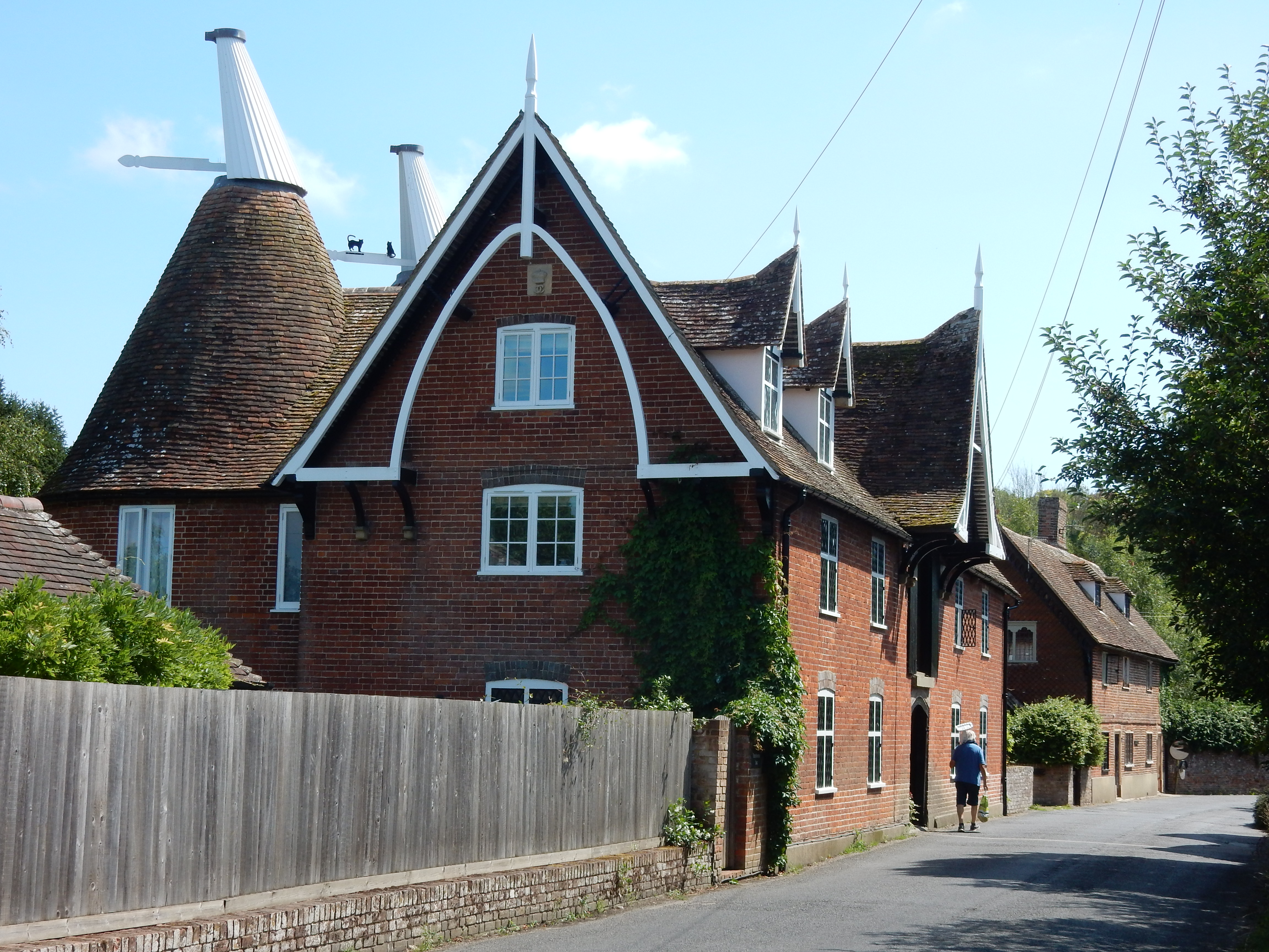
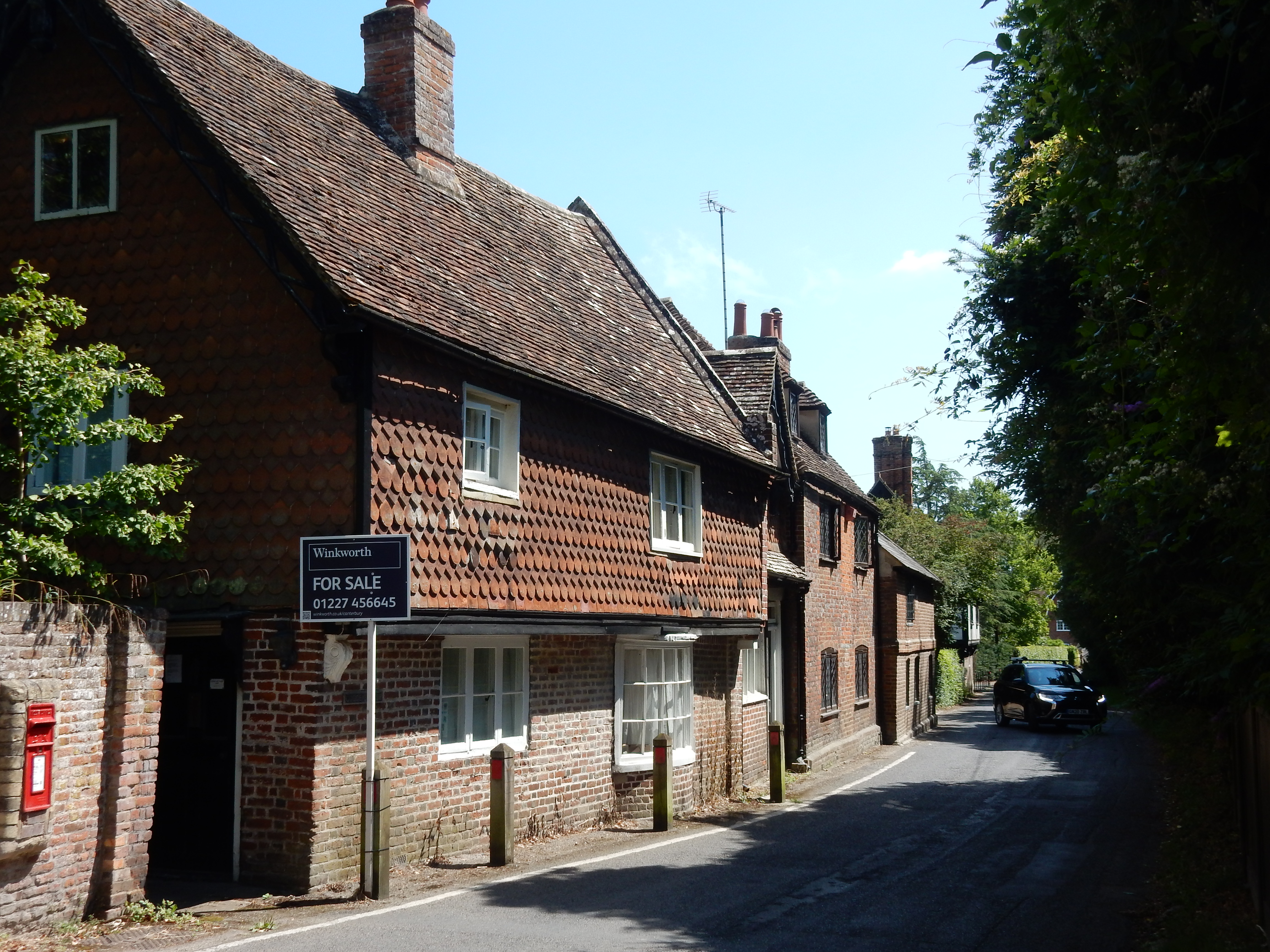
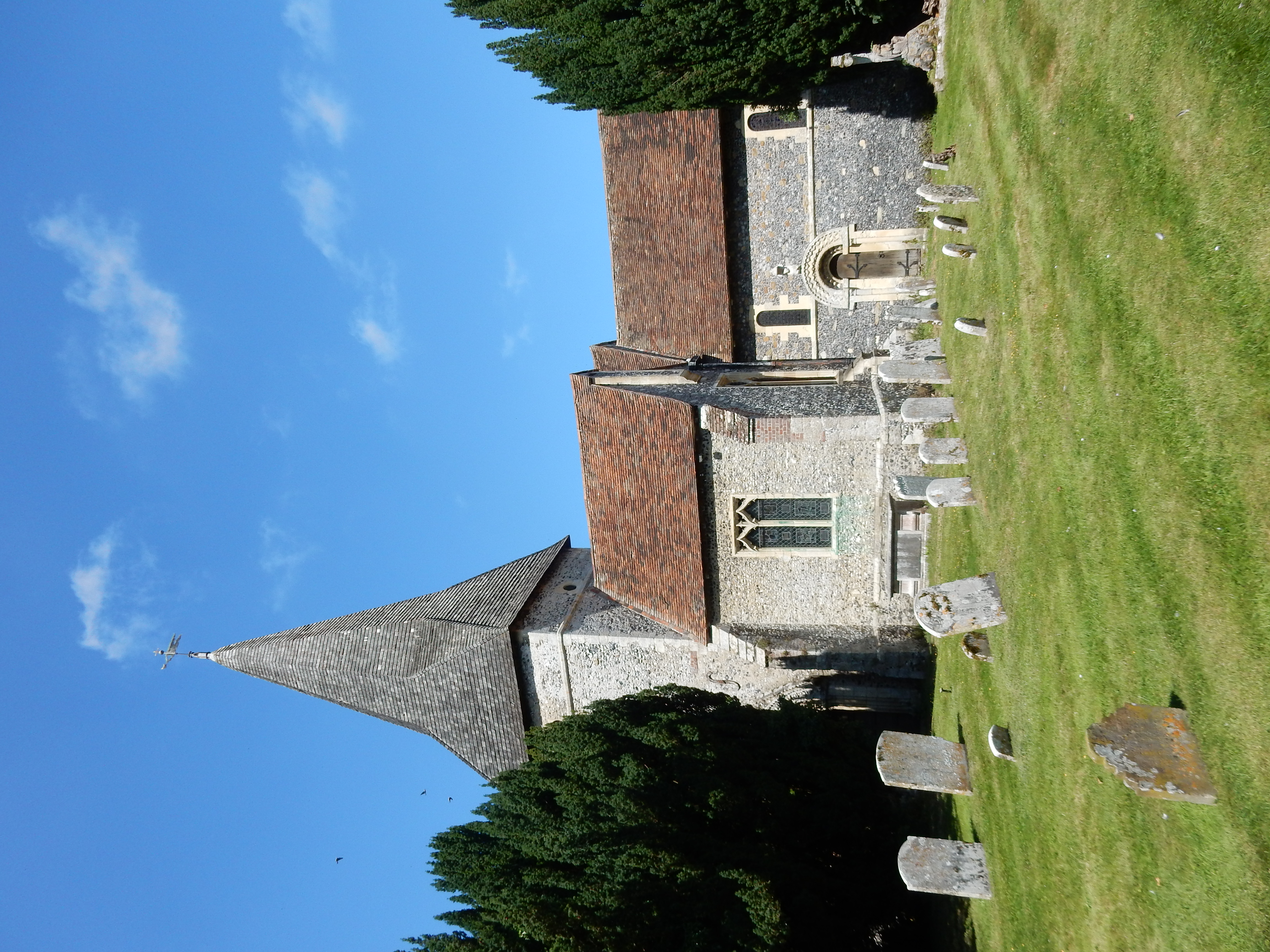
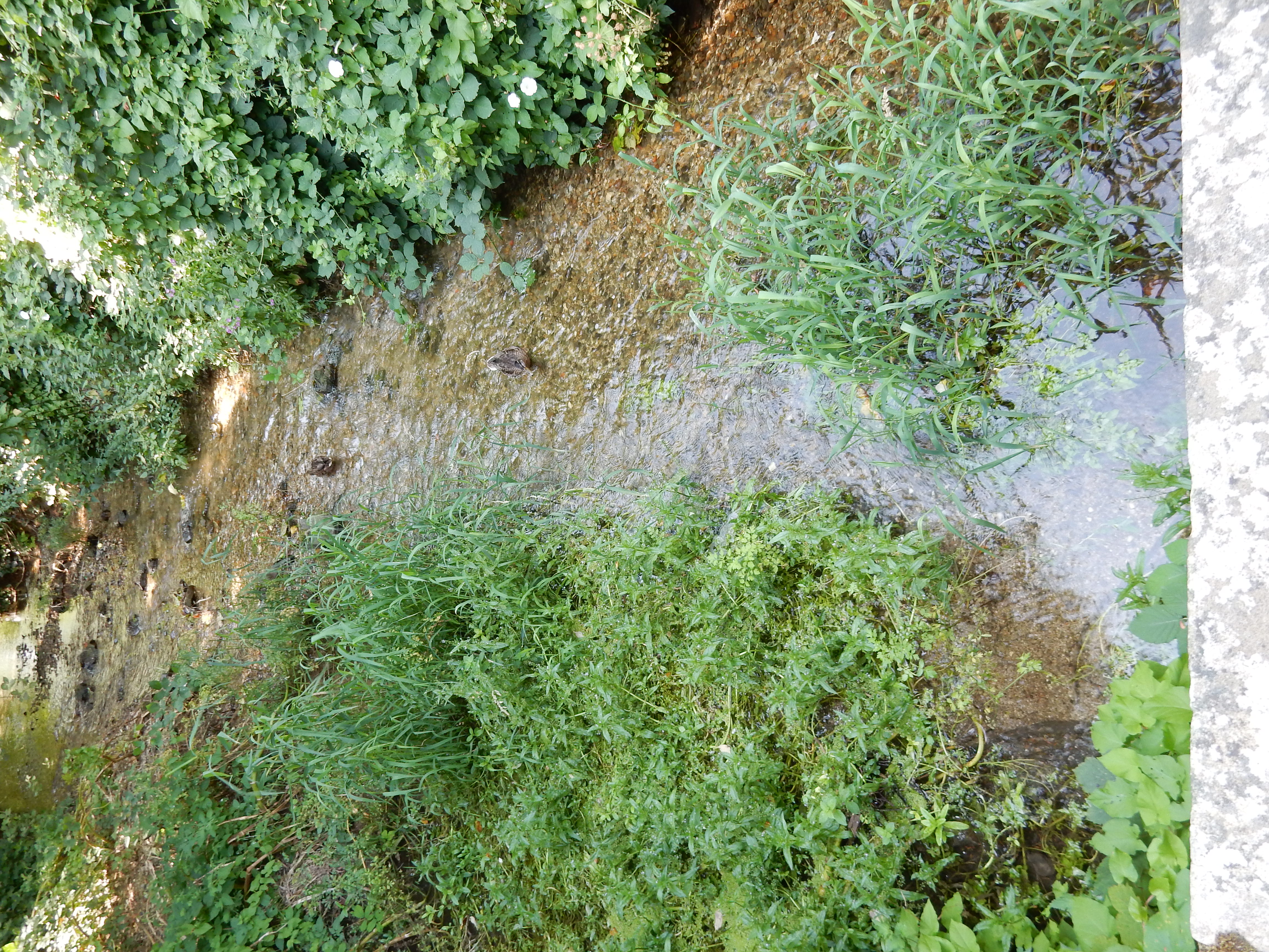
On reaching Bifrons Hill there is a short and nasty walk in the road before continuing into Patrixbourne. The village itself also lacks a footway, but the traffic is slower and lighter. The Church of St Mary provides my stop for a sandwich lunch. The info board outside lists proposed (but currently unfunded) extra facilities for the trail walker. A seat would, IMHO, be a good start. Afterwards, I have time for a pic of the so-called river. I fancy it will not burst its banks today. However, its presence alone tells me one thing: this is low ground, 25 m ASL. The NDW, preferring high ground, will soon go uphill (towards Higham Park, 70 m ASL).
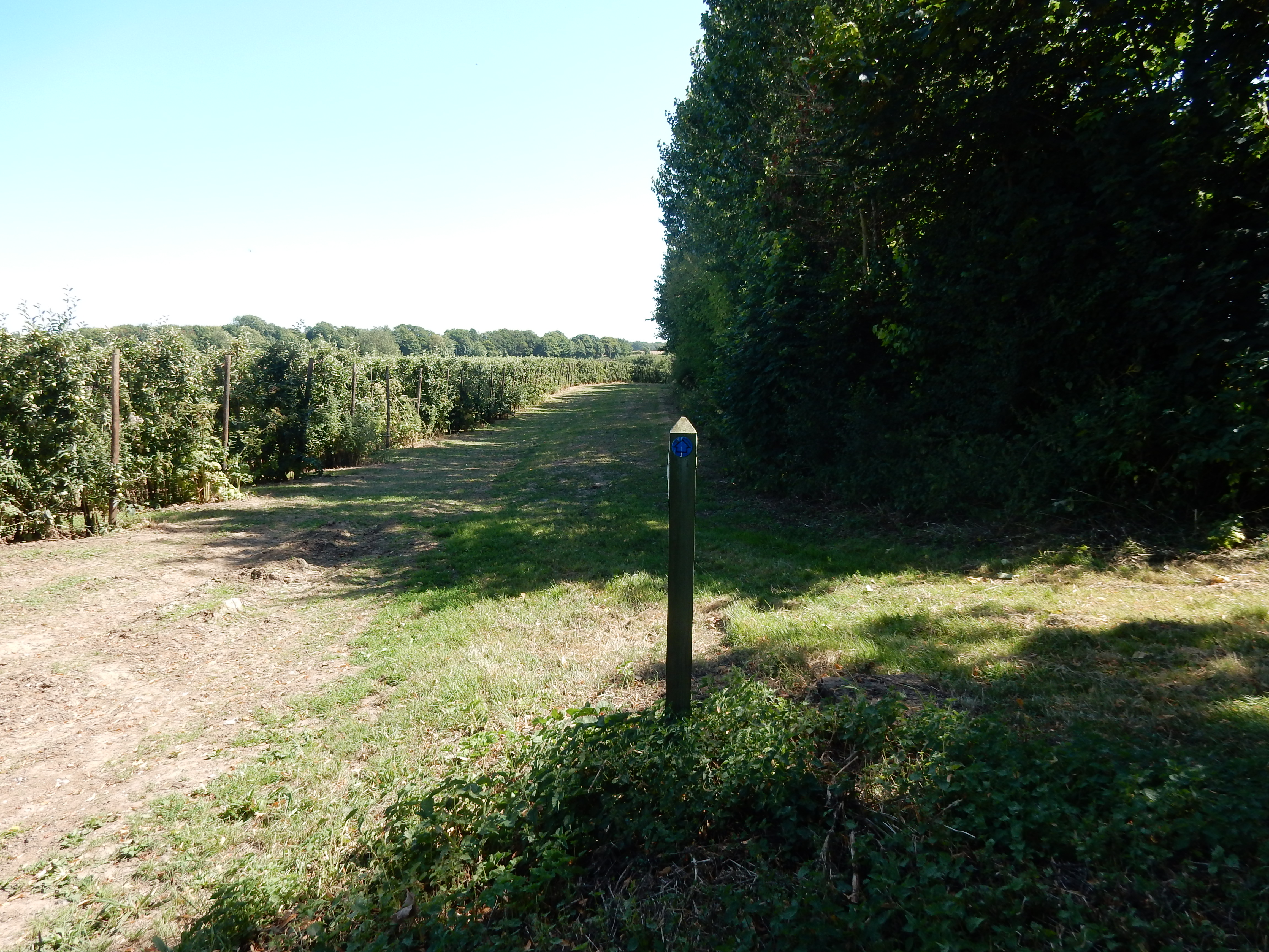
At this point (W3W), my navigation goes wrong. If you look at the OS route plan then you see that it reaches Bramling Road and then refuses to cross it in order to continue on the NDW. Instead it does a RT and goes down to the A2 Dover Road along which it continues for 2⅓ miles until the turnoff for Woolage. It barely needs saying that this is completely bonkers. For much (but definitely not all) of this distance there is a verge, but one never intended for pedestrians. I took care to set the 'Activity Type' to 'Hiking' but, as far as the OS is concerned, I am a vehicle, and that's that. So, back at 51.2226,1.15837, I decide that I will not follow the OS route. "Look, there is a LT here that goes south-easterly (towards Shepherdswell). Must be what I need."
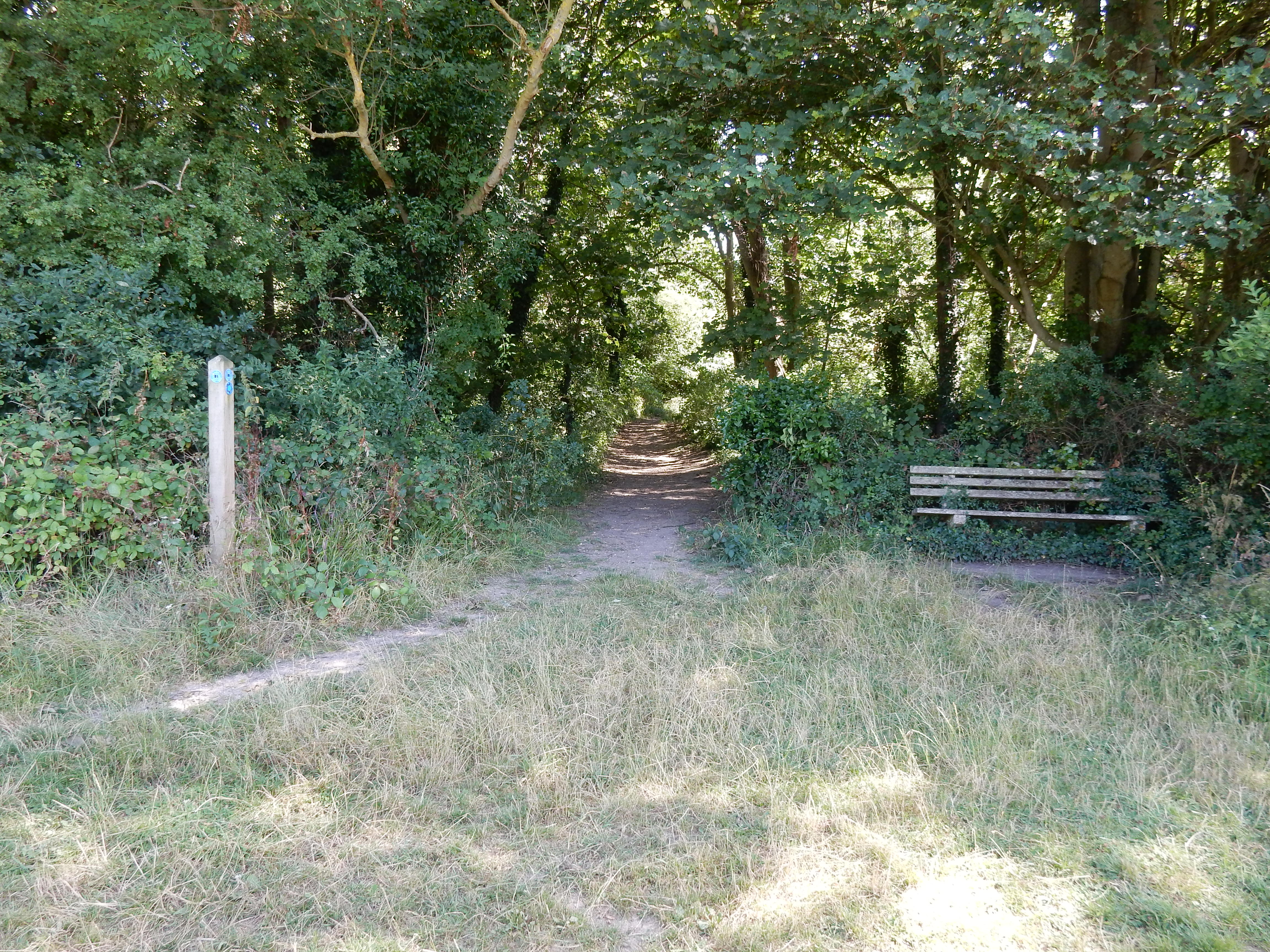

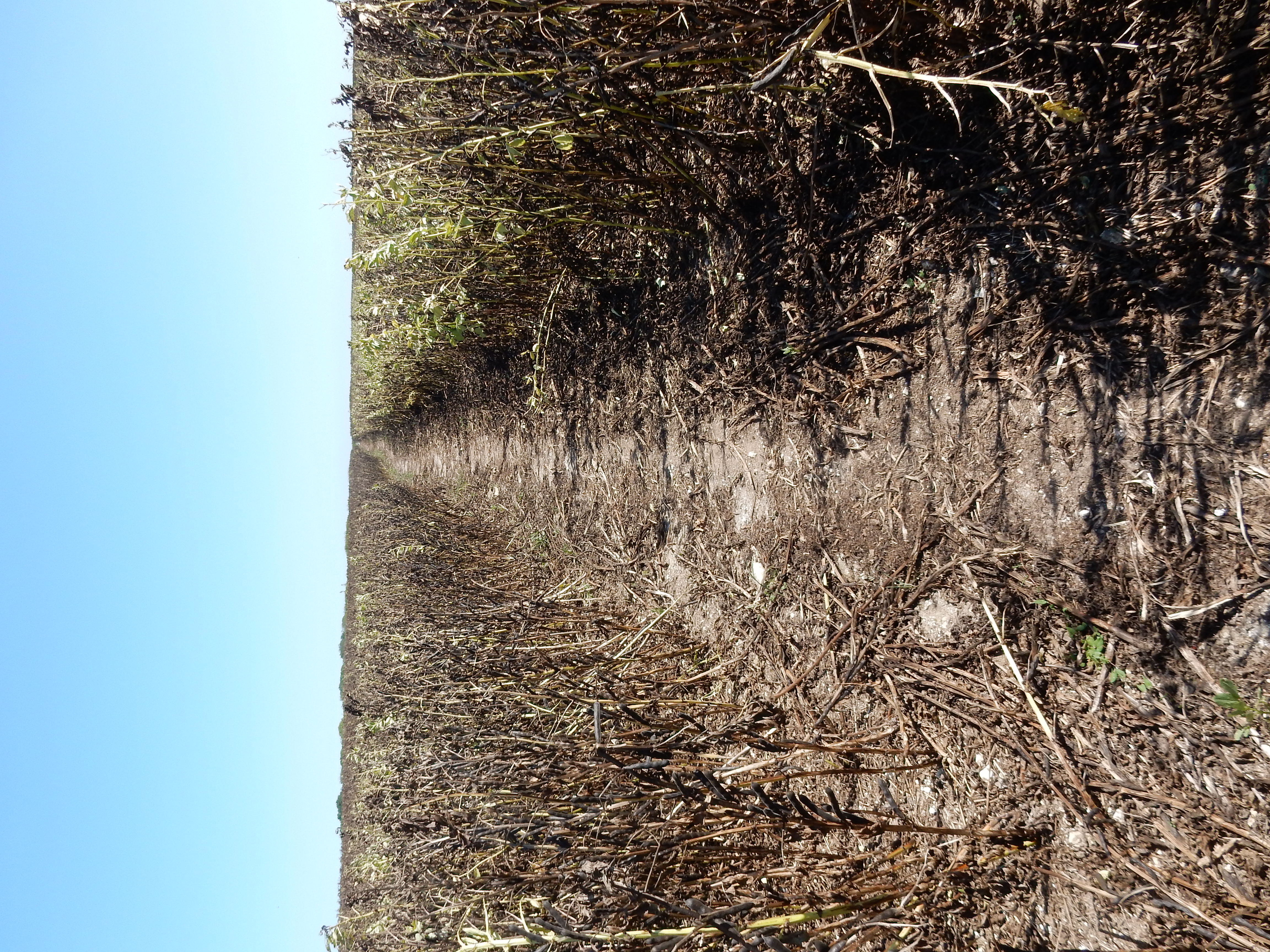
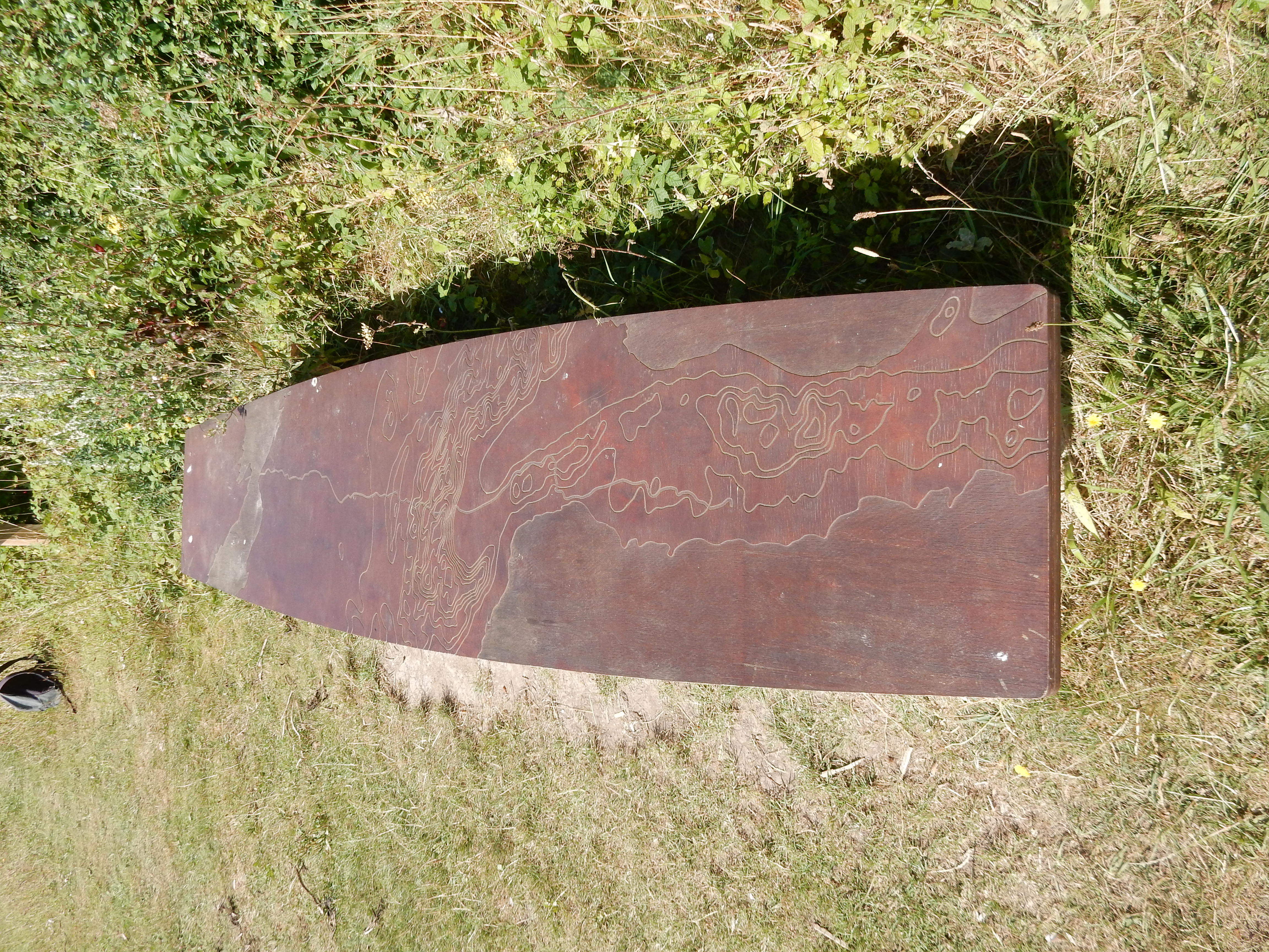
What I need, actually, is to stay on the NDW. To cut a long story short,[8] I rejoin the NDW at Barham Downs. This juncture is within a crop of runner beans in a field the best part of a mile long. All have spoilt. It isn't the first part of Kent that I have seen this type of crop failure. The pods look (to this inexpert eye) as though they have set OK. Early summer was cold and wet this year, so perhaps that was the trouble. Whatever, those who toil in agriculture need more than my supply of fortitude. Seating provision is made here for those wishing to view dying beans that stretch to the horizon. The info board tells me 'This bench represents the topography of the entire 2043km of the Via Francigena walking route from Canterbury to Rome.' Might His Holiness be persuaded to ramble down this road to bless future beans? The remainder of the walk is without mishap or any notable interest. The approach to Shepherdswell requires a walk in the road named (with admirable candour) Long Lane.
Next week I tackle the final leg of the NDW into Dover. Yay!