Parametric data
- Route name:
- Crosswood
- Start point:
- Crosswood (Welsh Trawsgoed), Ceredigion.
- End point:
- Aberystwyth.
- This route on OS maps:
- https://explore.osmaps.com/route/17258043/ ...
- Distance:
- 9.5 miles walked, 7.4 miles flown.
- :
- 11.1 hours.[1] The older I get, the more araf I get.
- Ascent:
- 84 metres.
- Stiles:
- 0 (zero).
- Landmark of note:
- Wind turbine.[2]
- Feasible excursion:
- Enter Aberystwyth on the cycle route.[3]
- Waypoints:
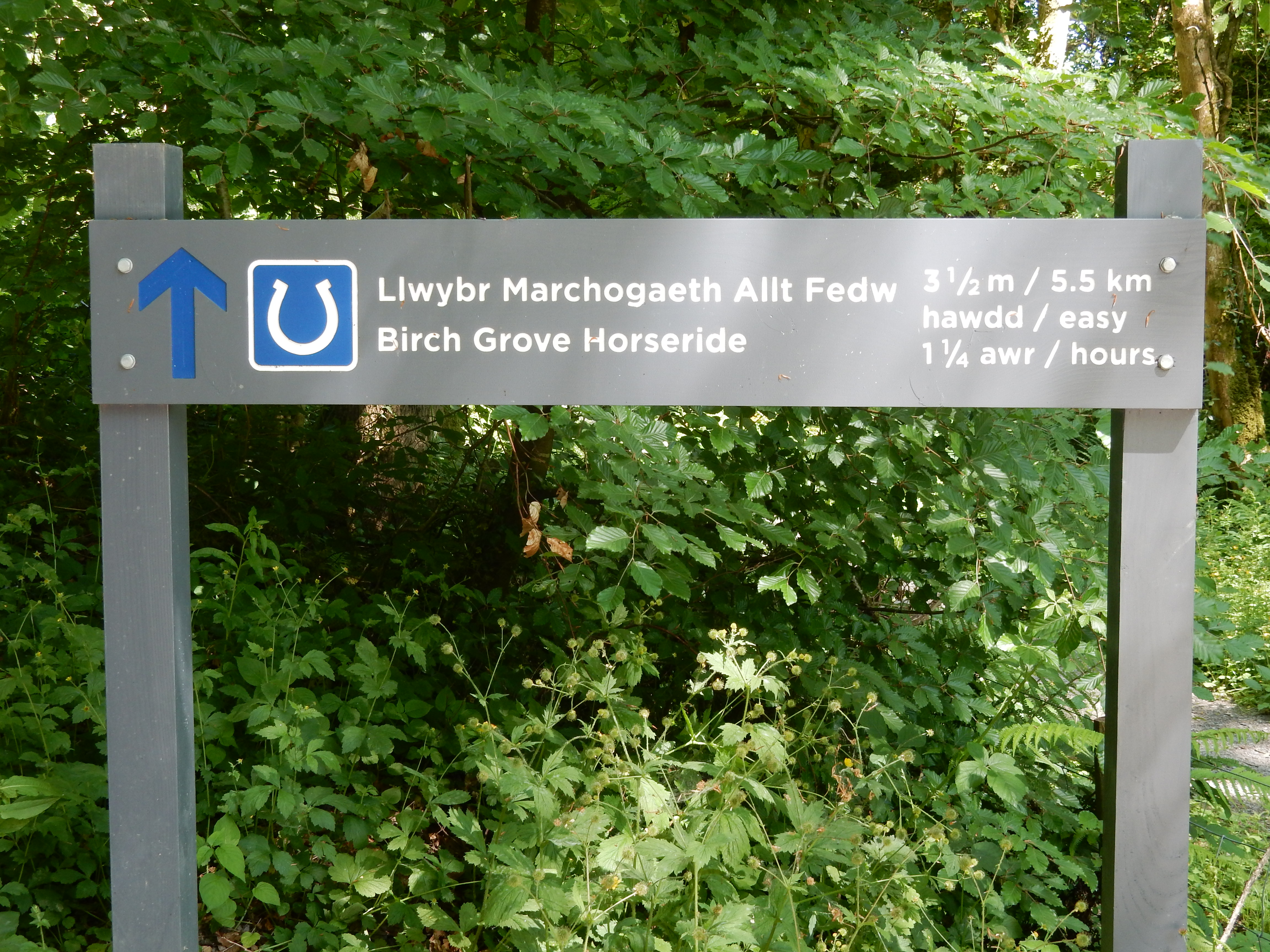
- Birch Grove, Felin Dyffryn, Llanilar, Tyllwyd, Penygraig, Tanybwlch, Trefechan.
- Refreshments:
- Packed lunch at Llanfarian.
Weather:-
 15°C,[4] 🌤️
Very pleasant.
15°C,[4] 🌤️
Very pleasant.
-
Avoiding roads: -
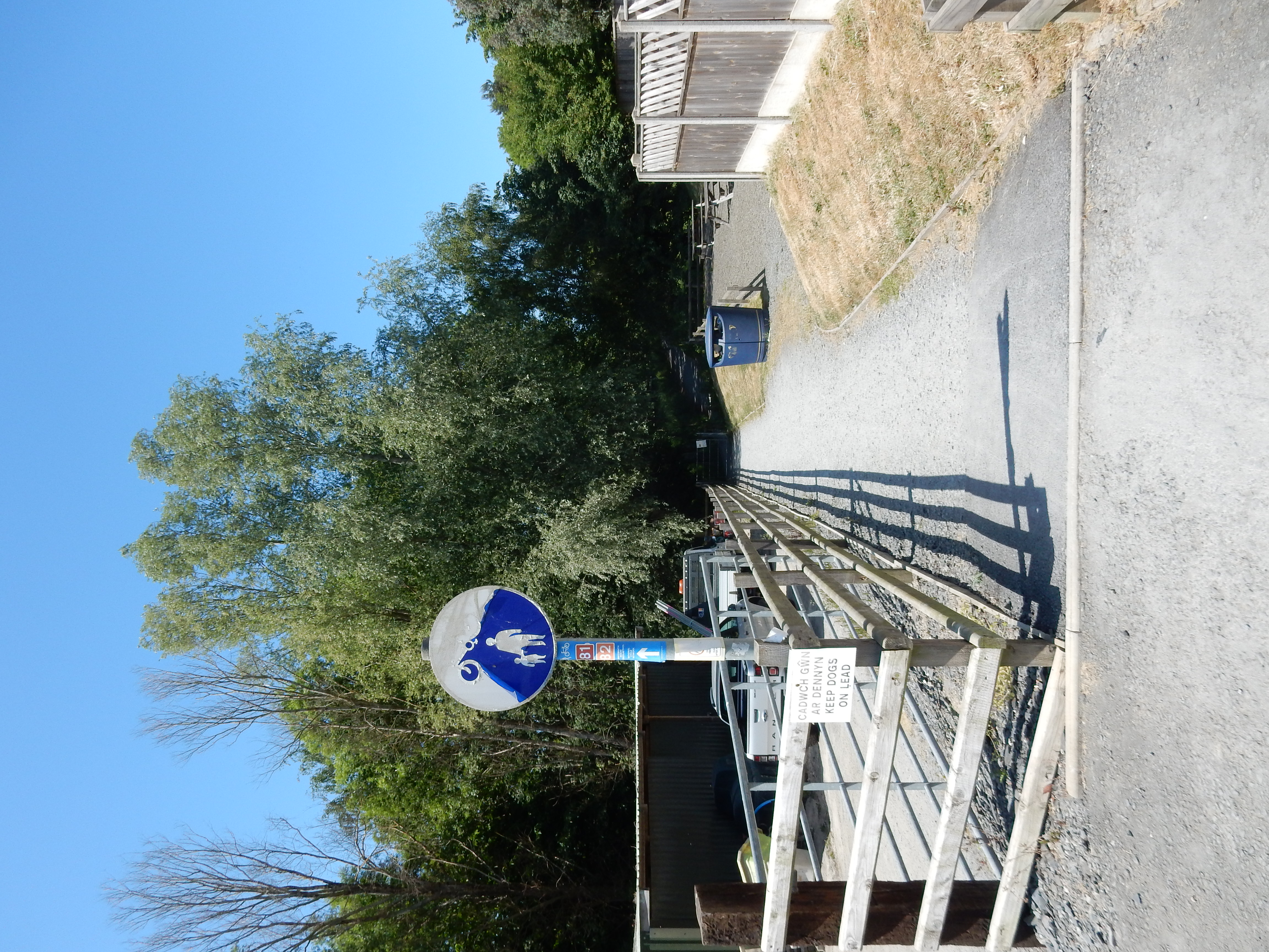
 Pretty much just out of the car park to the start of the NCR
81. Parts of the route further east than this do use B roads.
Nothing scary.
Pretty much just out of the car park to the start of the NCR
81. Parts of the route further east than this do use B roads.
Nothing scary.
-
Footpath construction: -
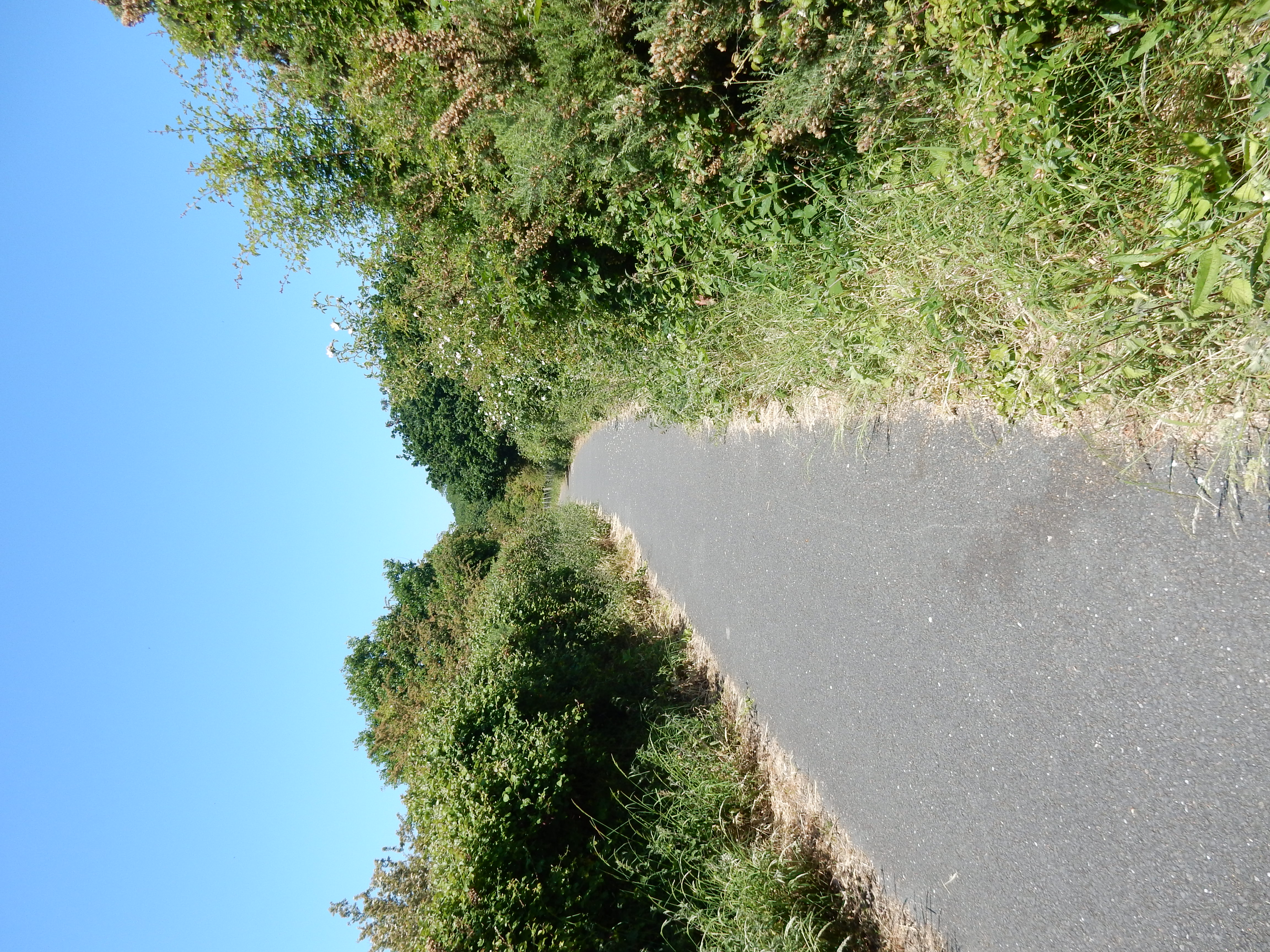
Practically all
BLA or better.
-
Footpath condition: -
I can imagine that, with the river in flood, bits might get
soggy. Not today.
-
Vistas: -
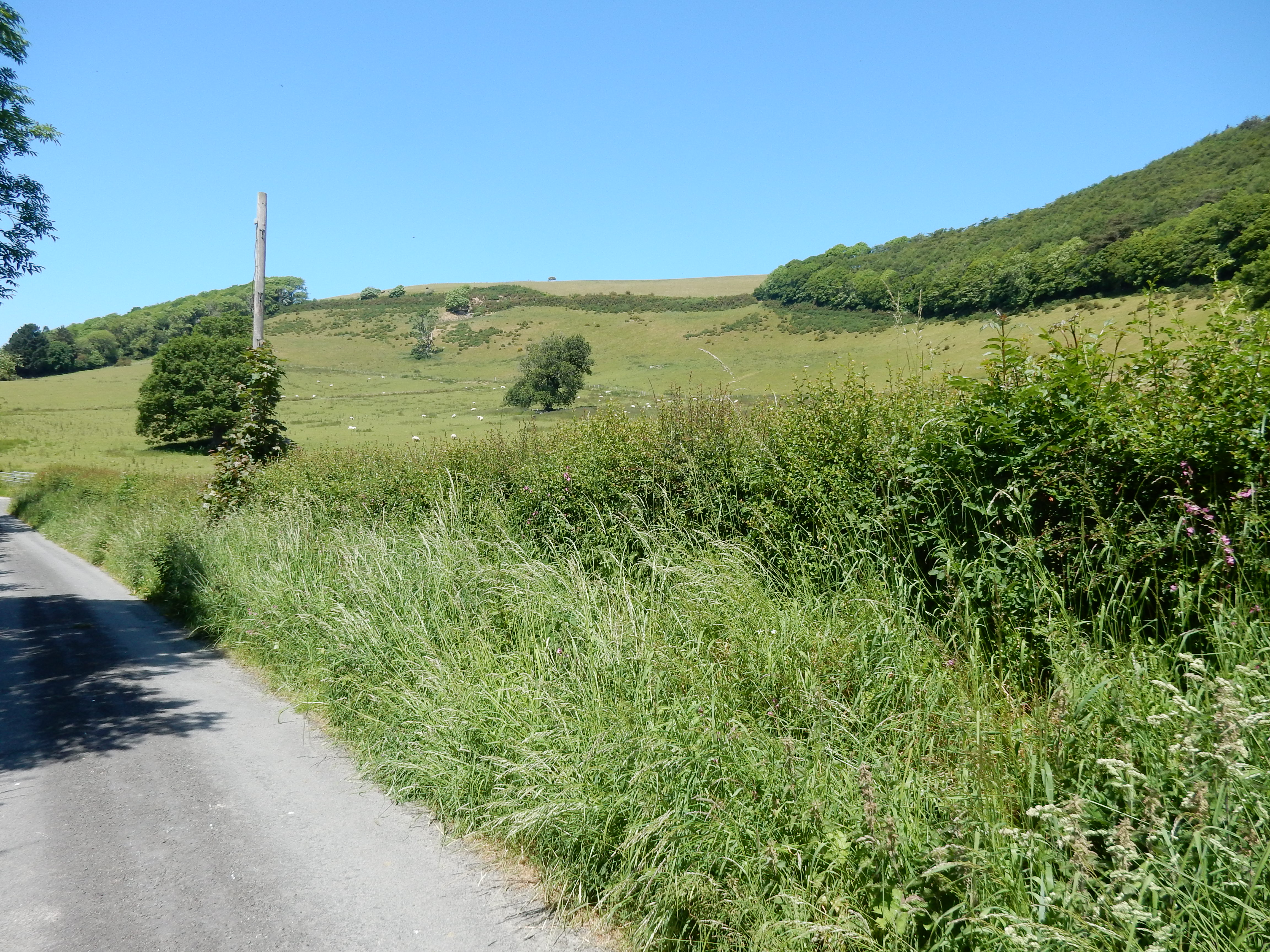
 You can't expect much along a river valley.
Blackberries:-
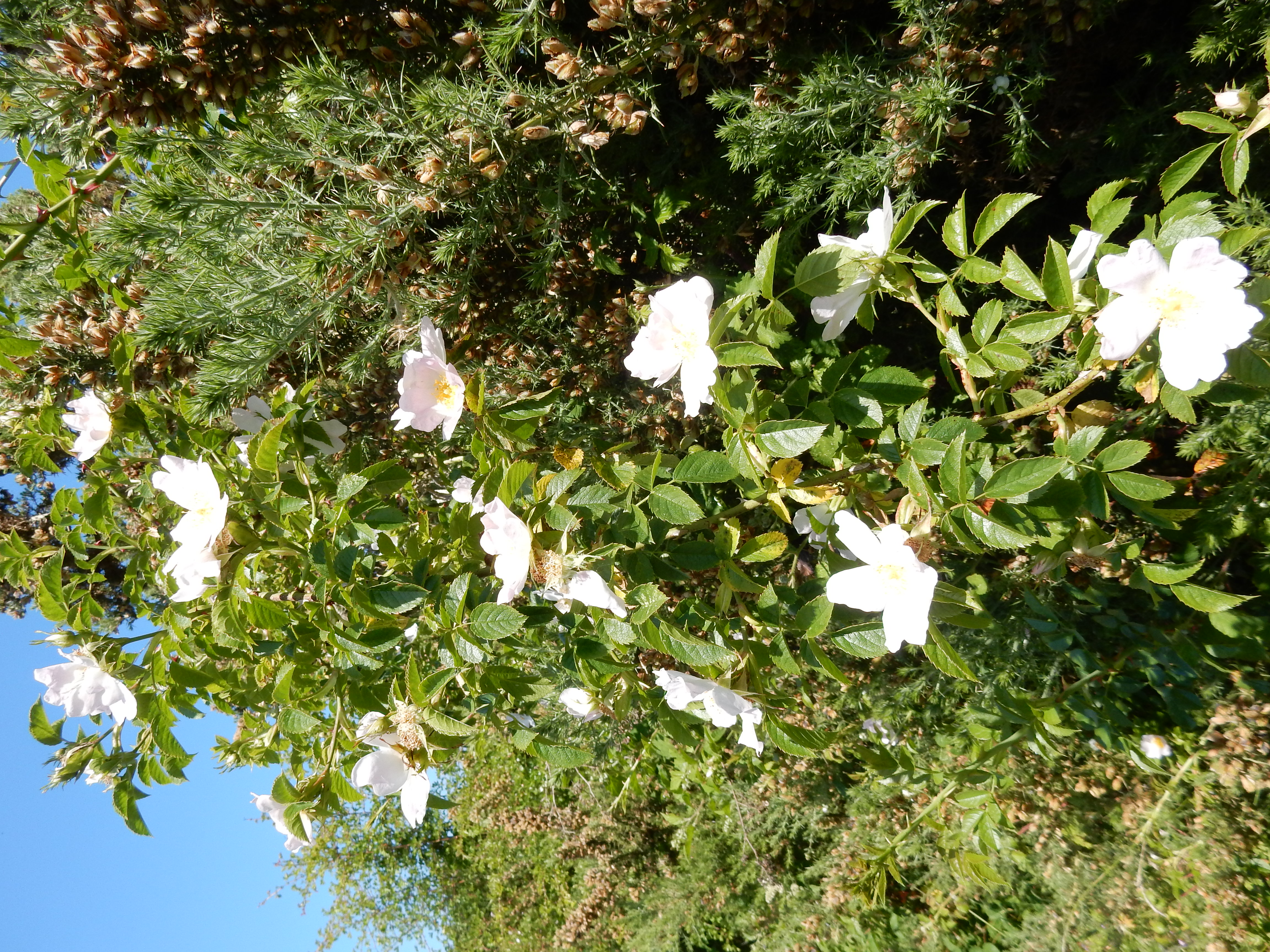
 Later in the year there may be some below Crugiau.[5]
Route map.
Walk notes.

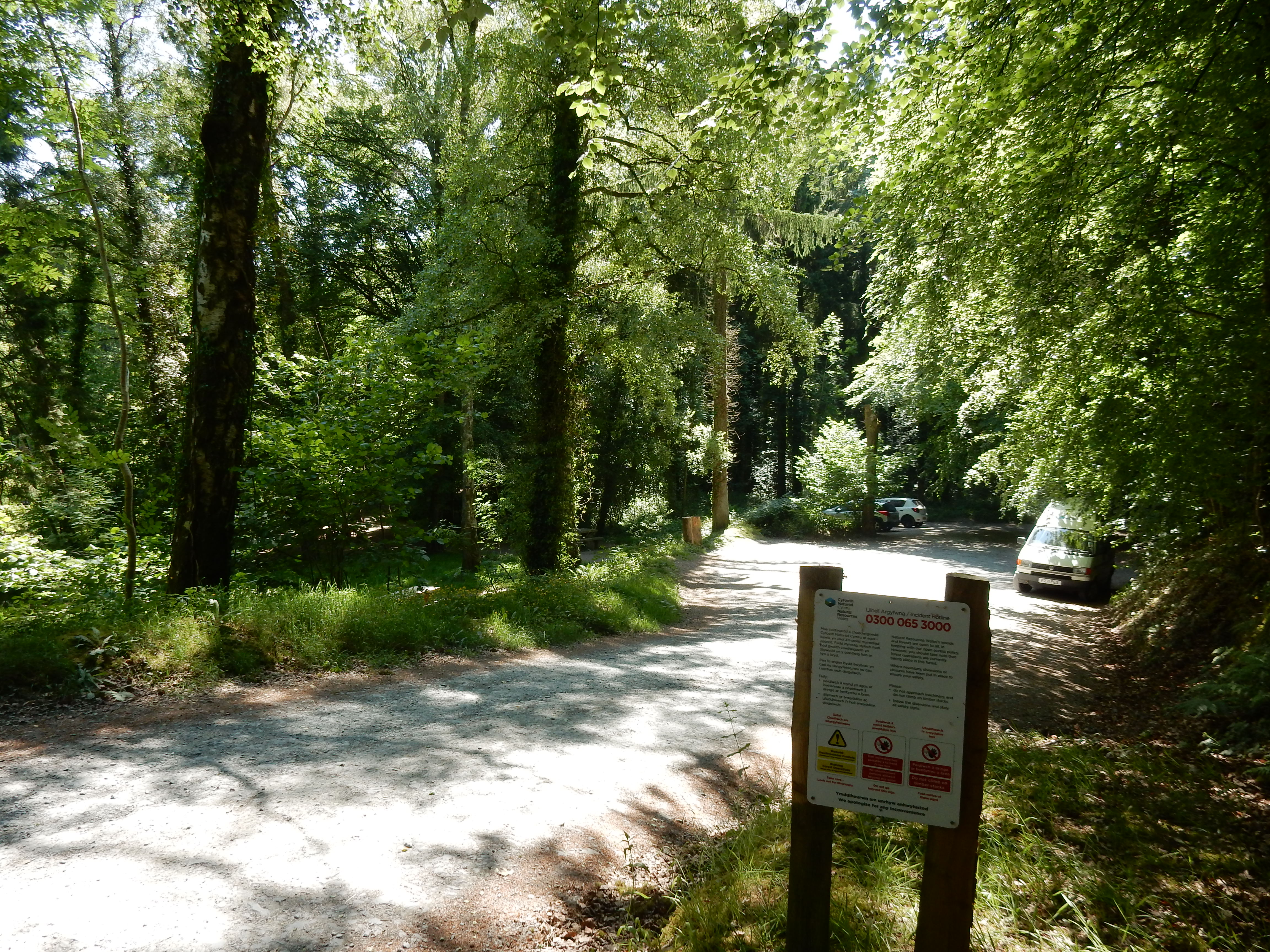
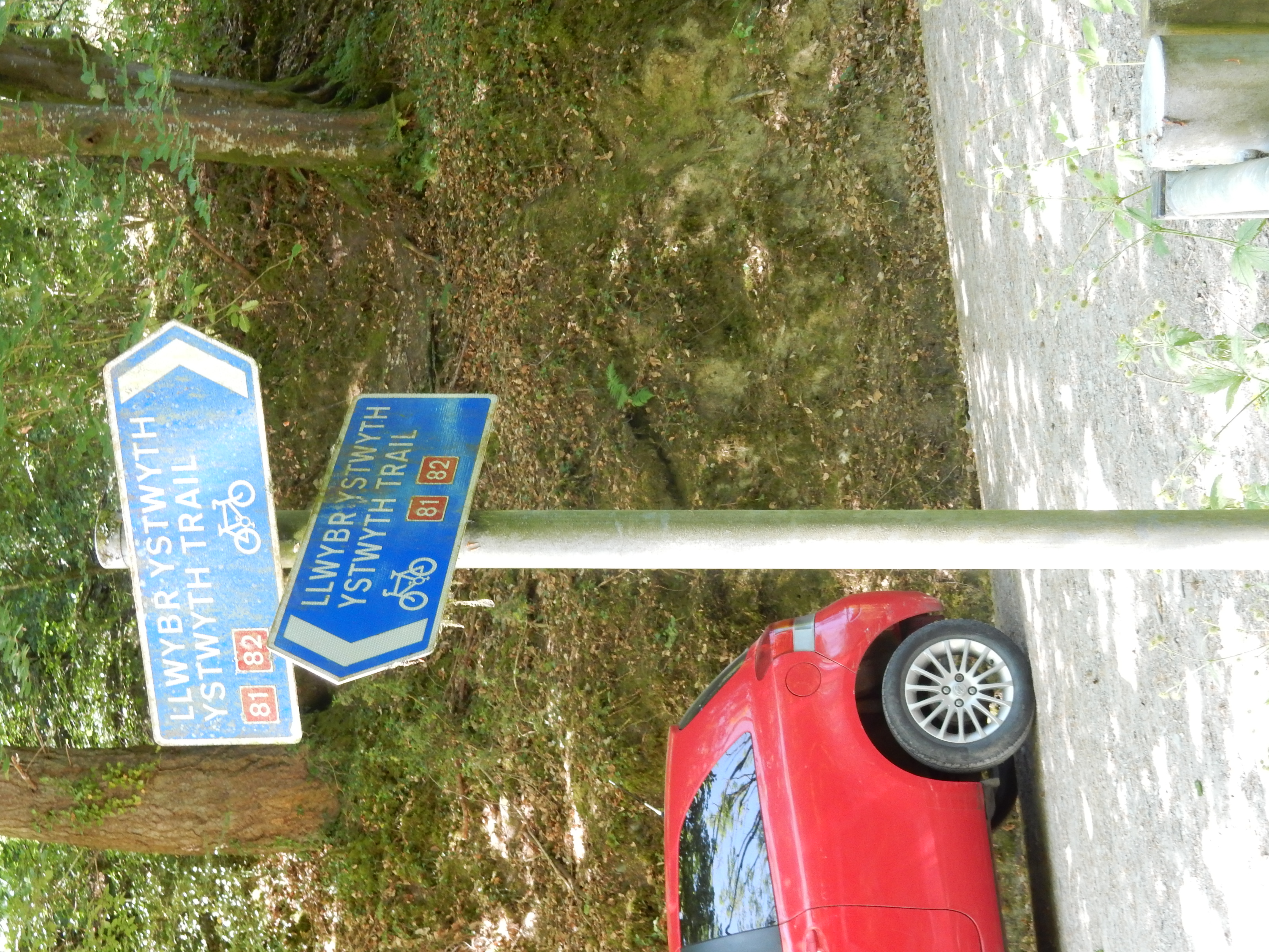
This is a change from my usual type of walk. For starters, I'm staying outside Aberystwyth on holiday, so am well away from my South East stomping ground this week. Secondly, a relative provides a lift to my start point, so I'm not restricted to a bus or rail station.[6] Most of the walk follows the valley of the Afon Ystwyth. Until it got a thumbs down from Doctor Richard Beeching, so did the Carmarthen–Aberystwyth line. Its track bed has been re-used for the initial section of National Cycle Route 81, which makes the easiest walking (or cycling, or riding) you could want. As you stroll along this gentlest of downhill routes, it's difficult not to wonder at the chutzpah of the Victorian civil engineers who imagined that over forty miles of line through mid-Wales were feasible. Well, with the weather set fair for the rest of the day, the next ten miles of peaceful and picturesque Welsh scenery might be just the ticket. Just not a rail ticket, obvs.
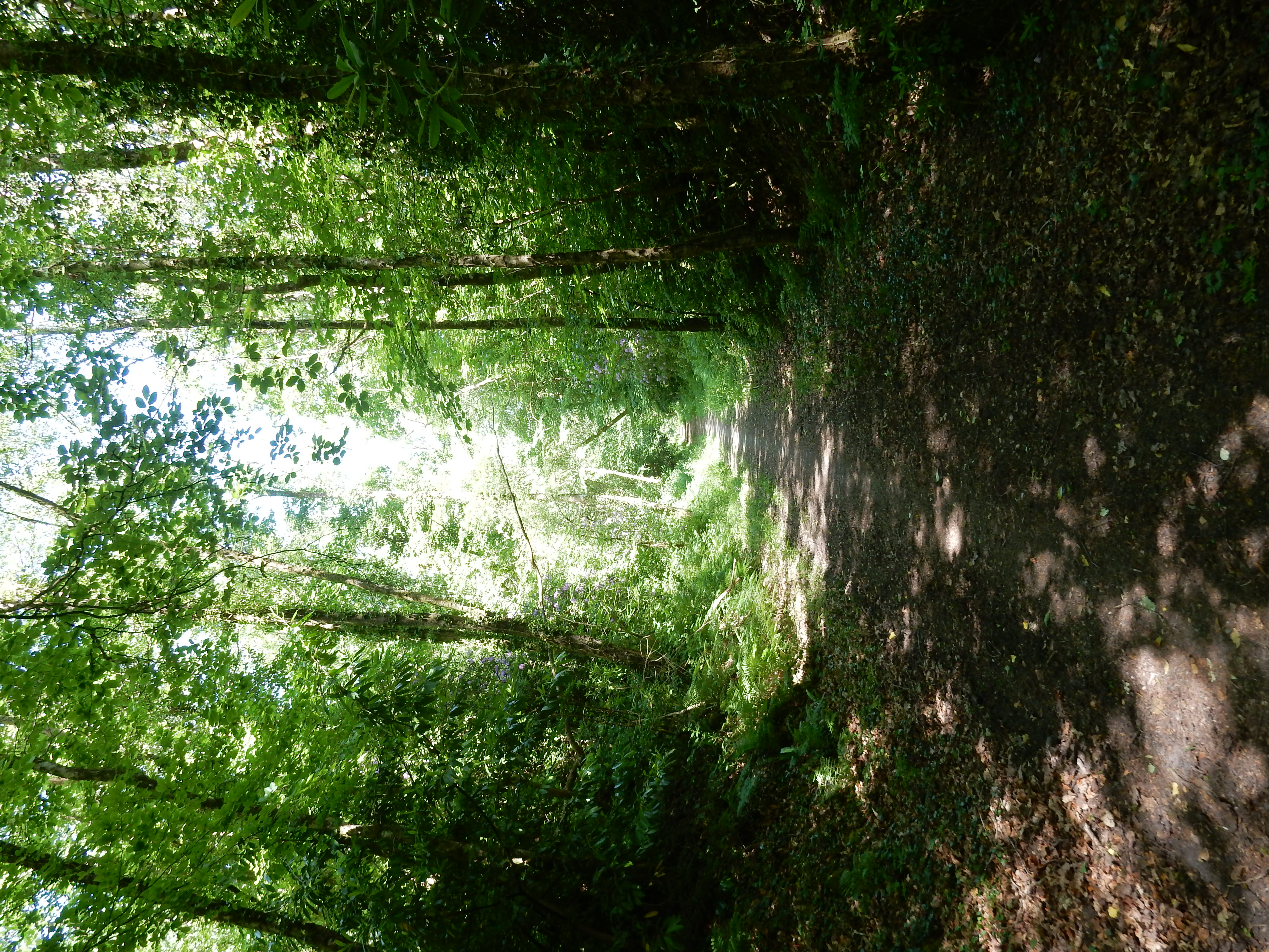
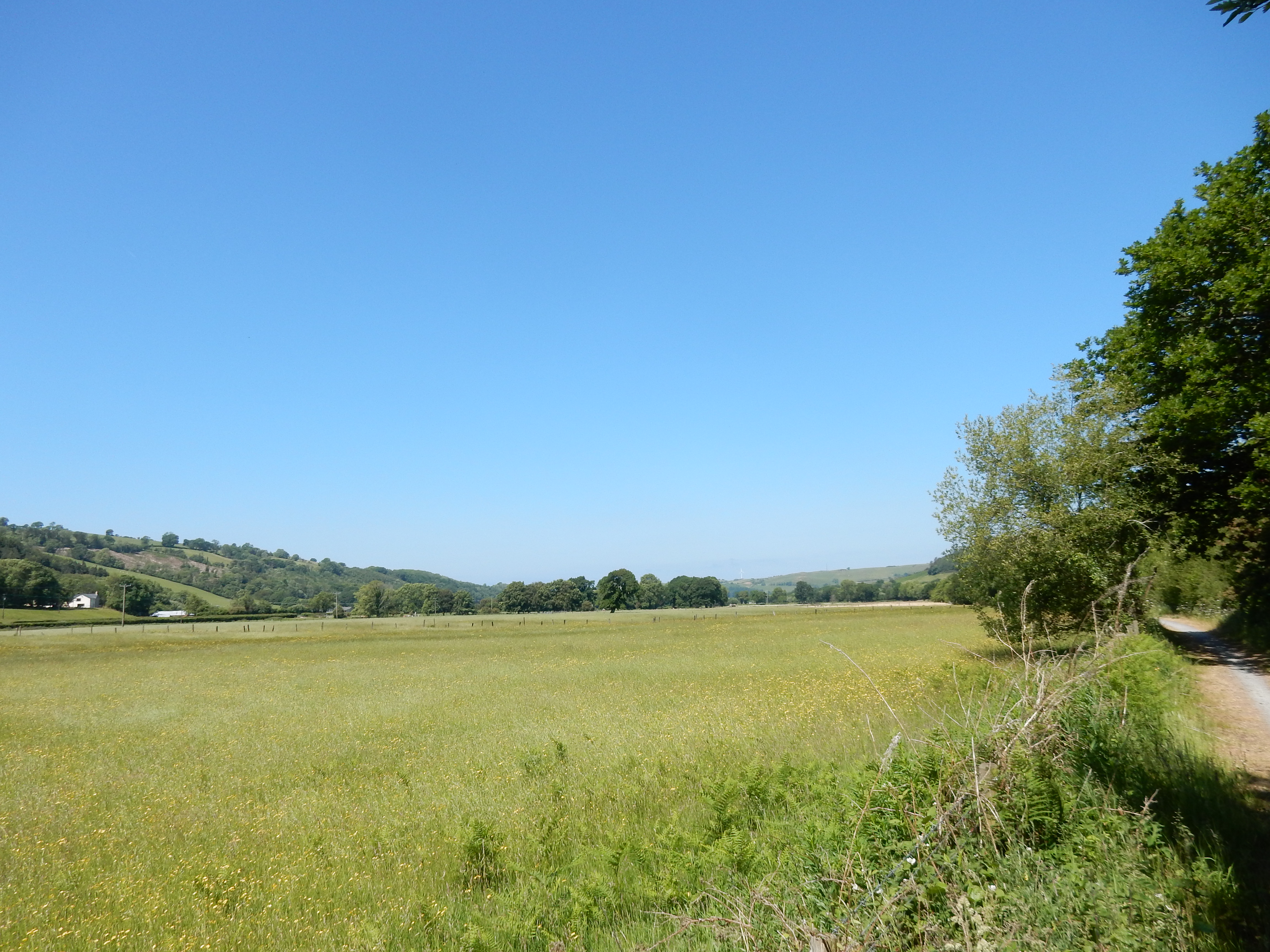
Under 200 metres from start is clear evidence of the infrastructure redundant since 1964. All rail bridges near home were built with bricks produced in astonishing numbers from the London clay. That appears not to have been an option here in Wales. All this stone might seem unnecessarily durable, however we are told that the final blow to the viability of the line came when one bridge was washed away by the river in flood. There's several more such, further along this walk. The calmer mood of the river today emboldens me to take a chance with them. Shall I live to tell this tale?
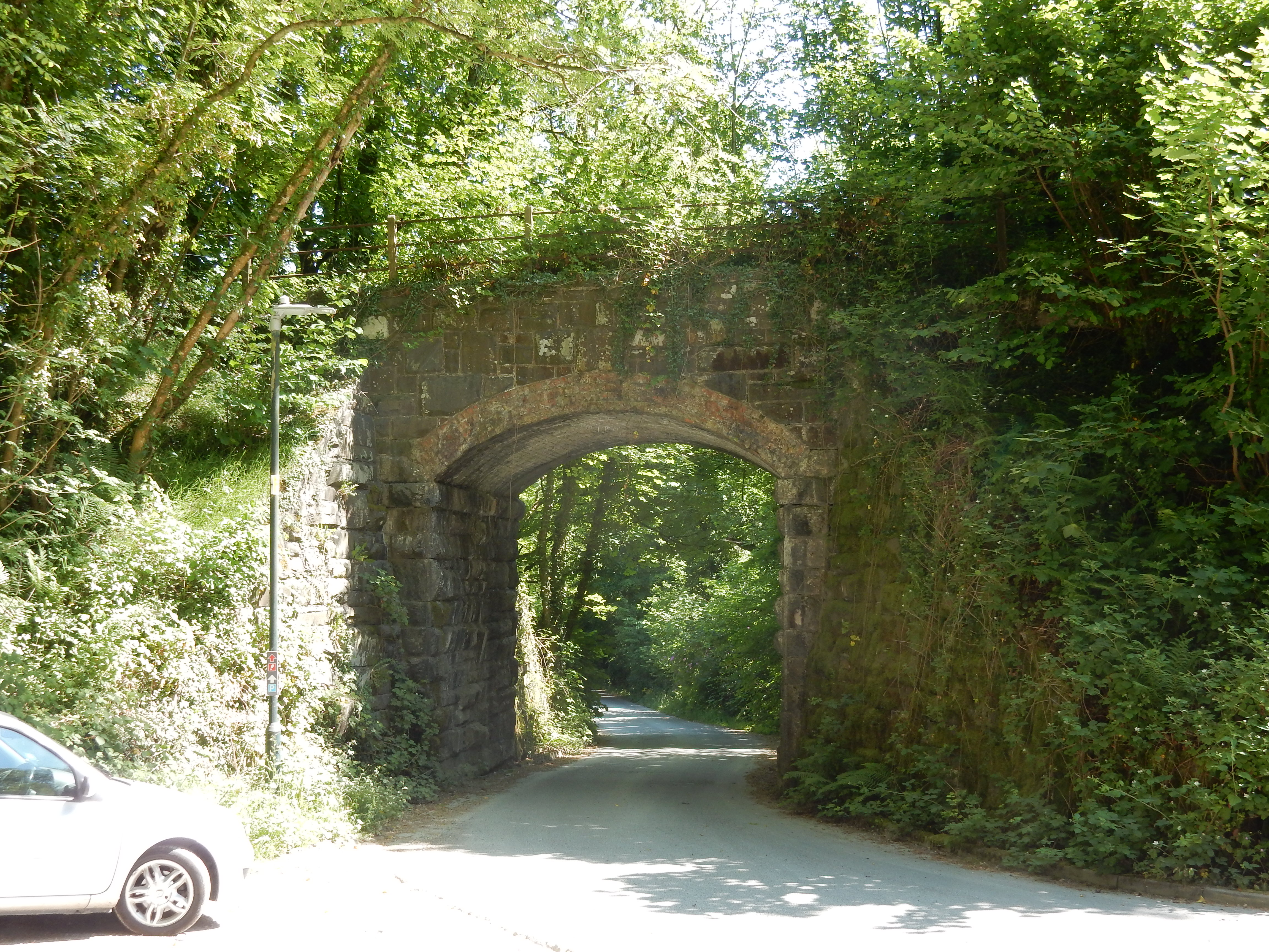
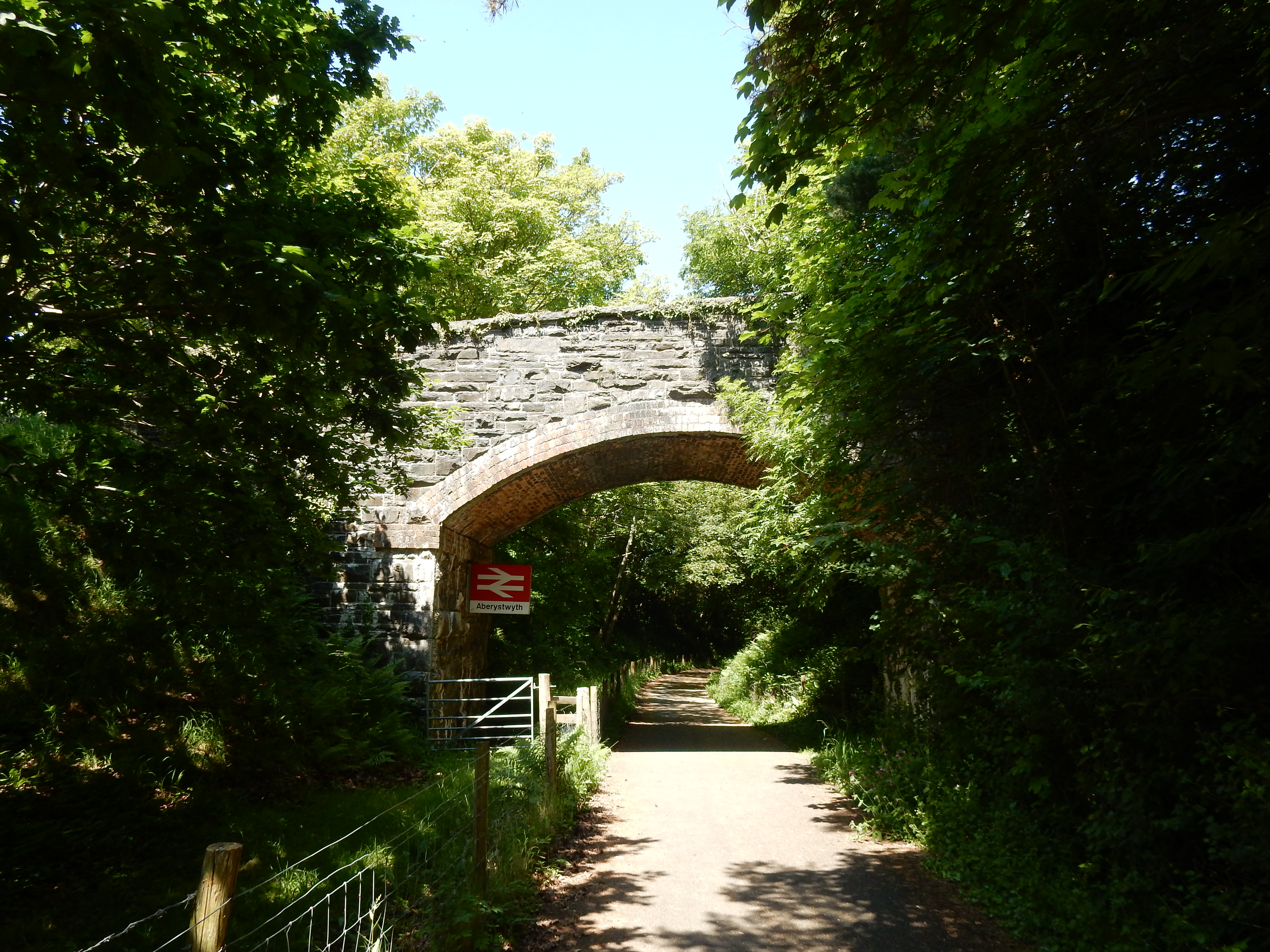
On the Main Line and the goods' siding The grass grows high
Michael Flanders
At Llanilar you will find an info board whose details of the line's history are worth a read. Even in the final third of this walk, with Aberystwyth looming, there are some very picturesque and peaceful spots. Tlllwyd is a good example. Now, though, you hit developments, strung out along the A487, such as Llanfarian. However, there's still a nice spot there for a picnic on the riverbank. This walker, at least, is not depressed at the prospect of tarmac continuing for the remainder of the route. I'm pretty sure the cyclists won't be. From below Pen Dinas you have your best view yet across the estuary towards Tanybwlch. On arrival in residential Aberystwyth proper you might cycle further along Felin-Y-Mor on NCR 81, but the OS prefers that I scramble down the slope the last few metres towards the marina. The friendly face of Aber greets me.

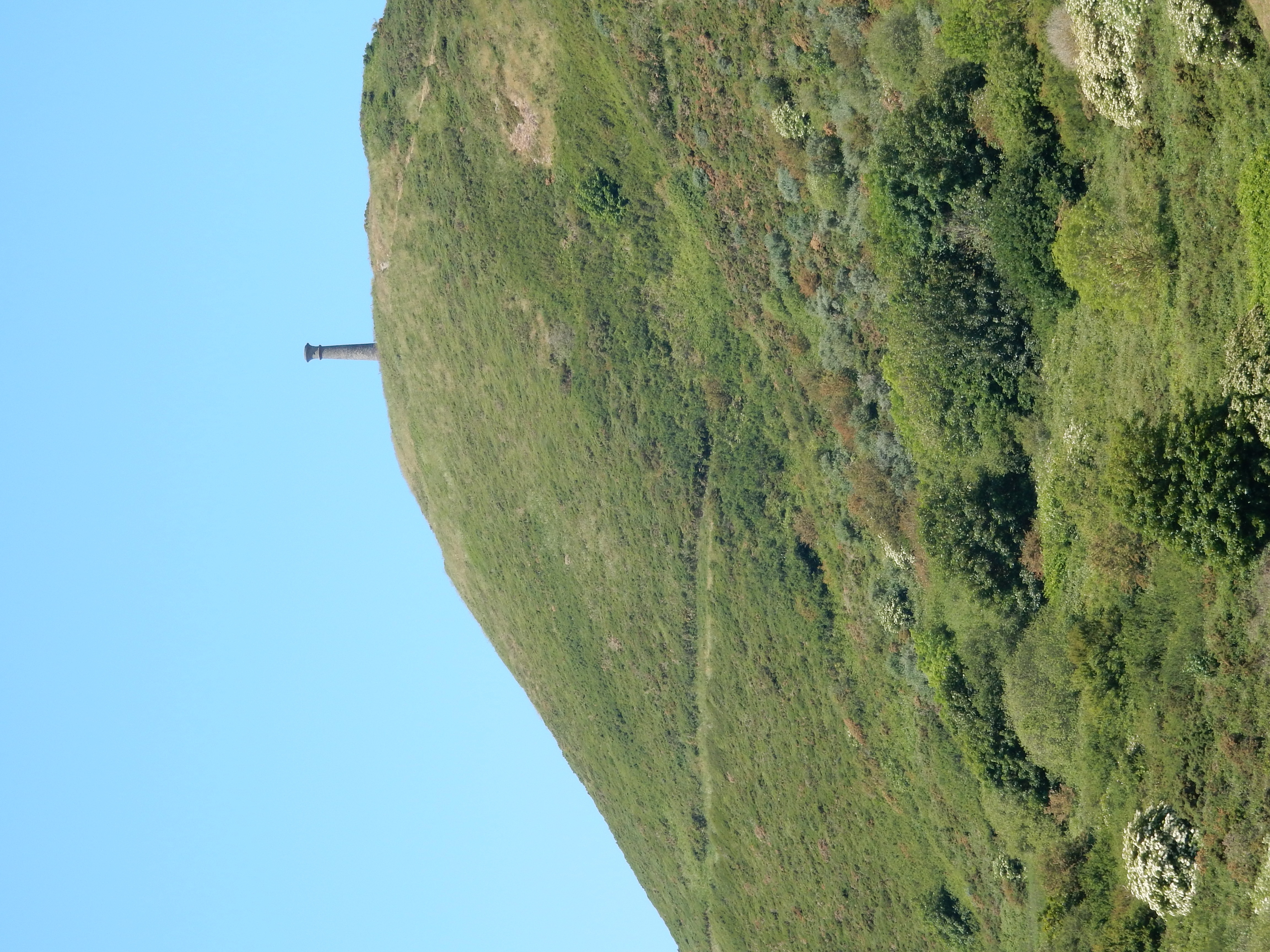
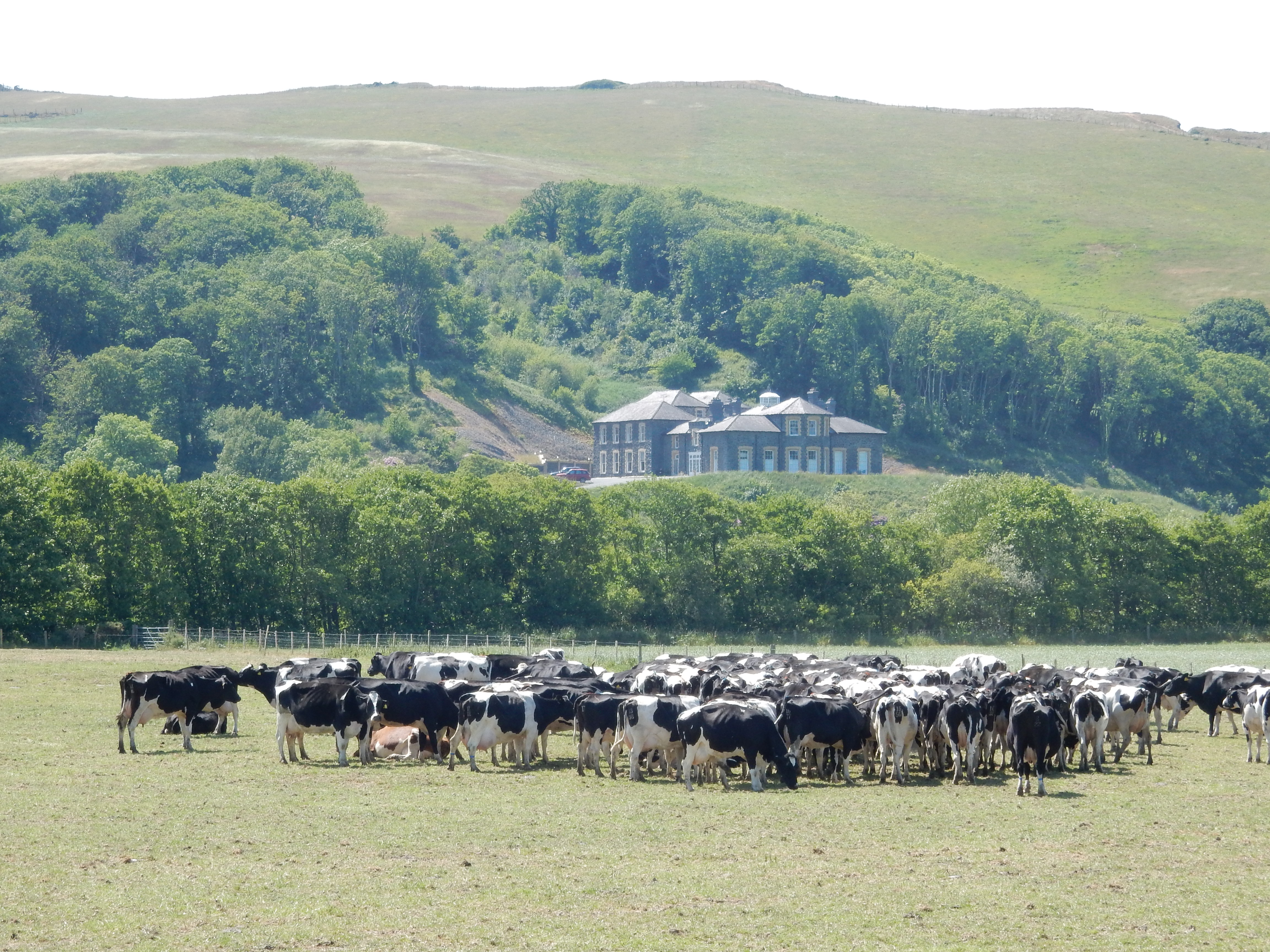
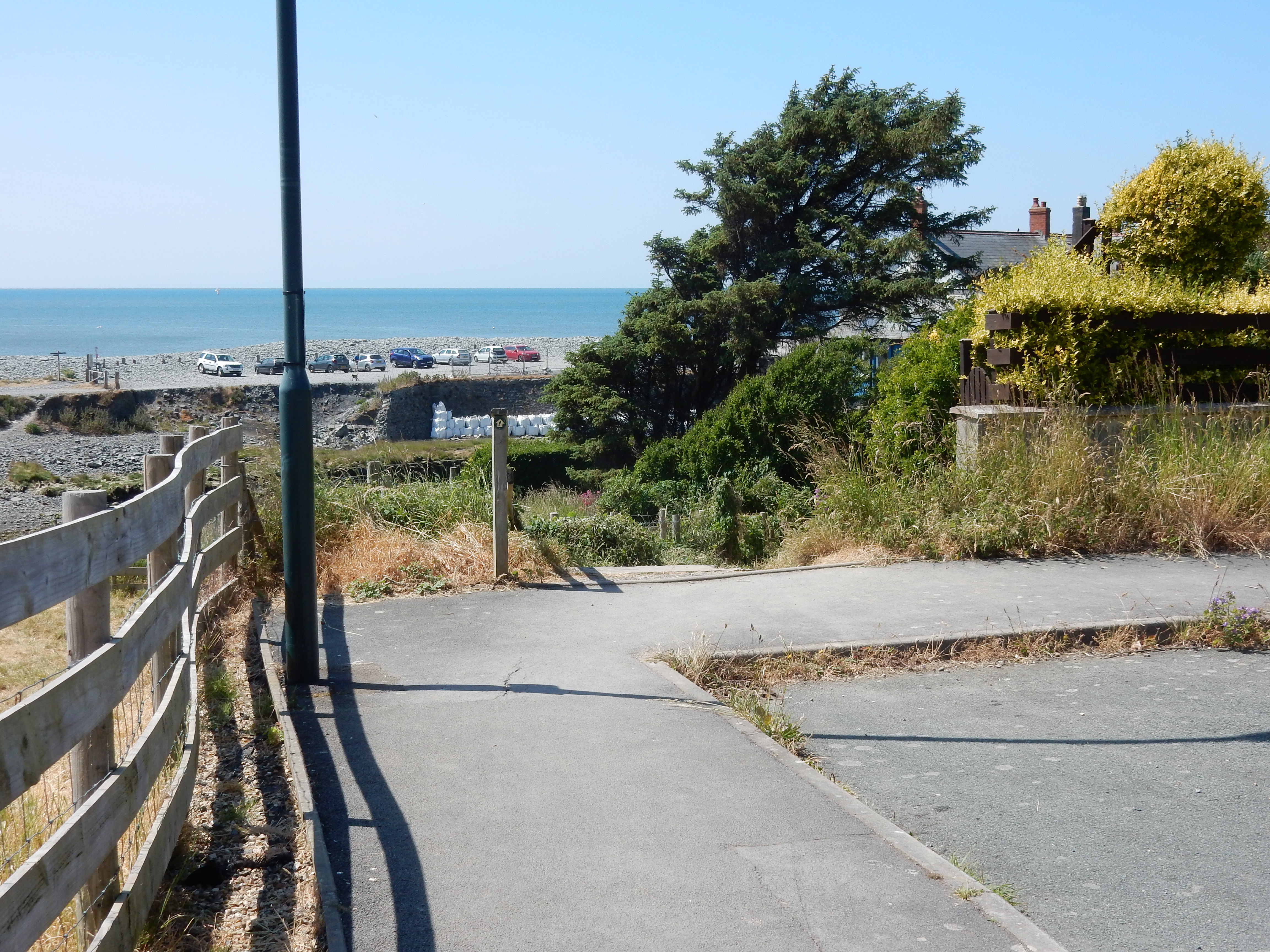
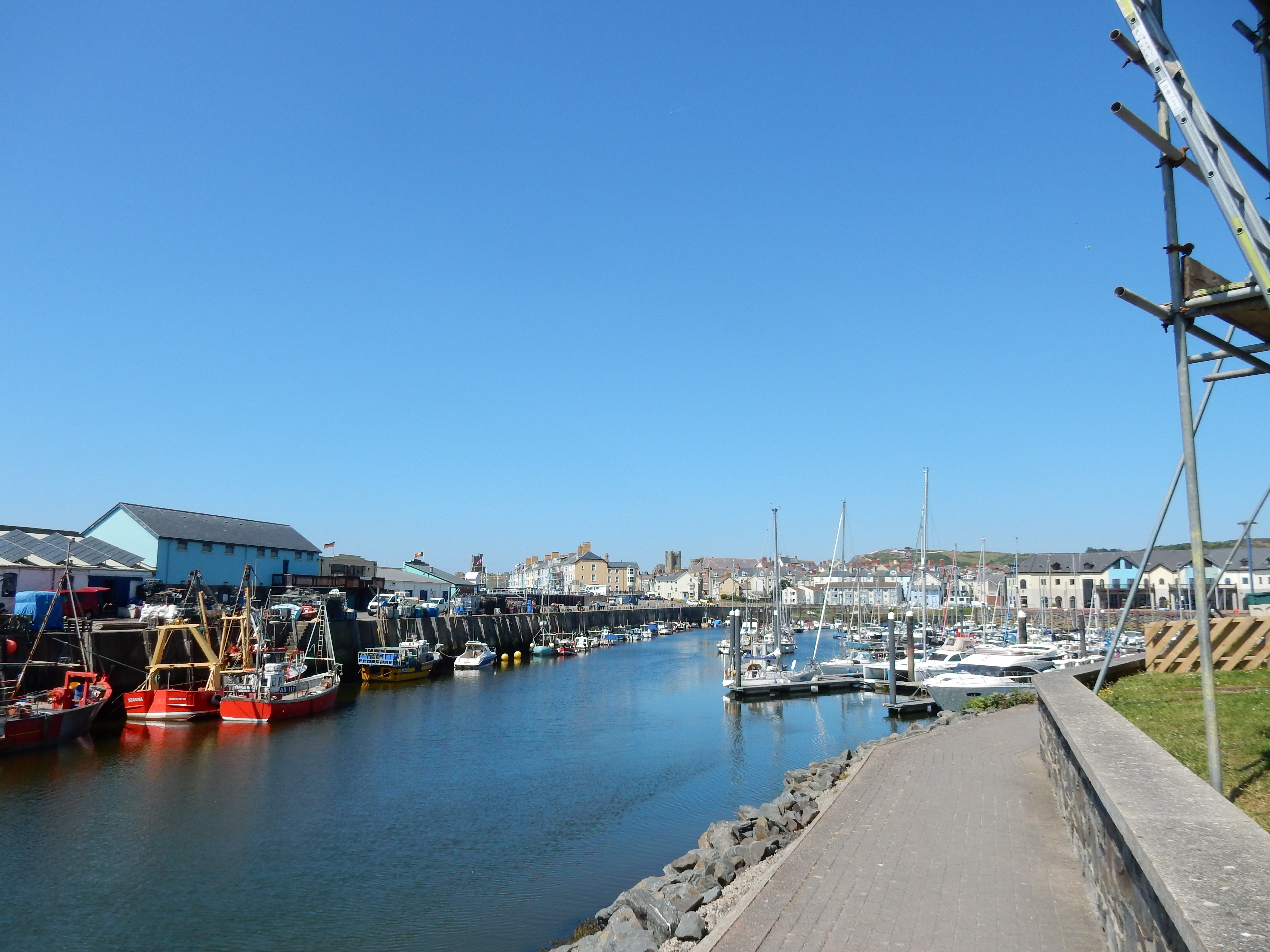

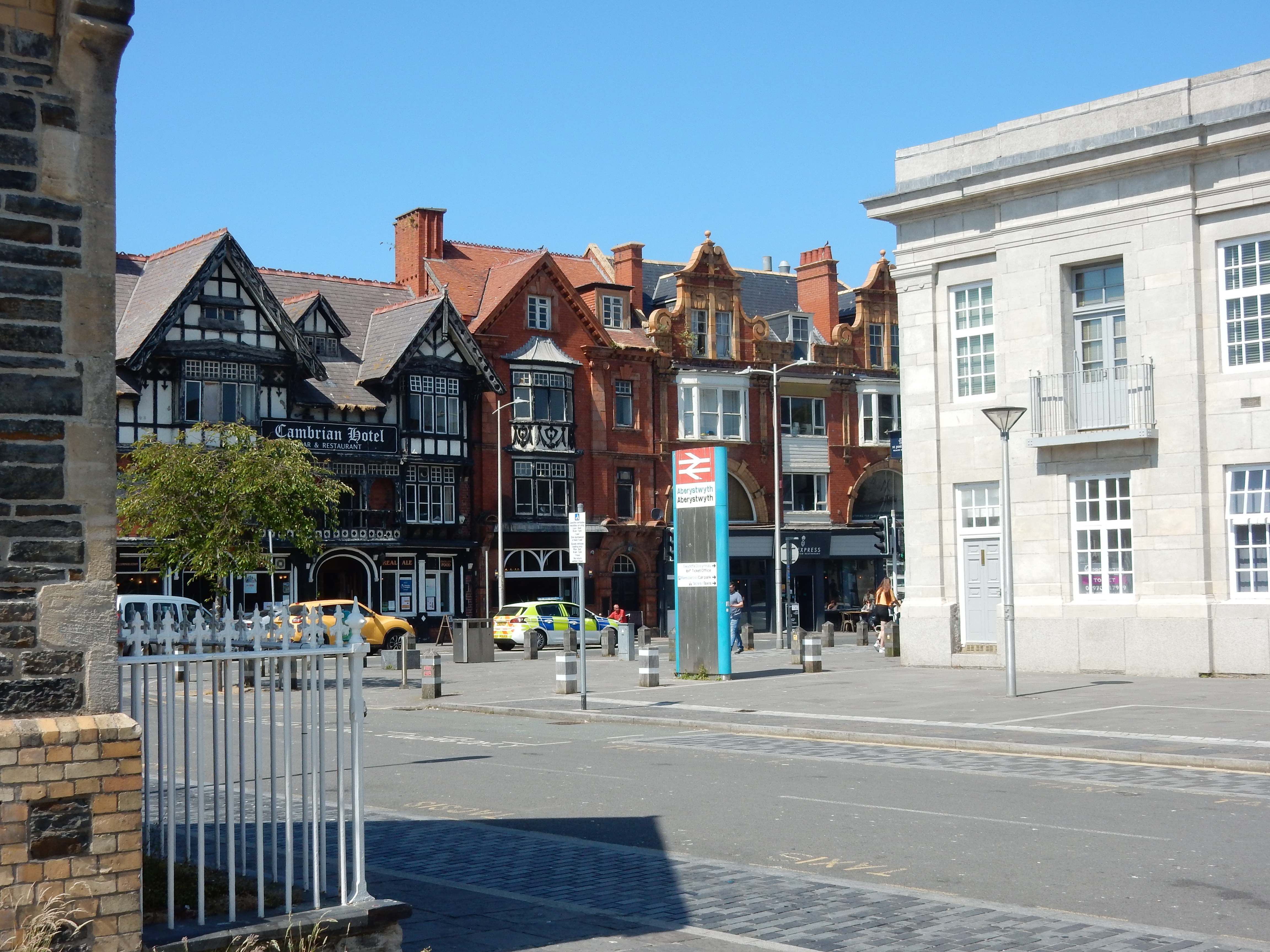
A pause above the Afon Rheidol for a shot of the view east toward some serious looking flood defences. Only if you are short on provisions might the excursion underneath Tescos pay off. Otherwise, you are not far off your destination at the rail station. An actual, working, still open terminus. Nay, two termini. Next year, maybe.