
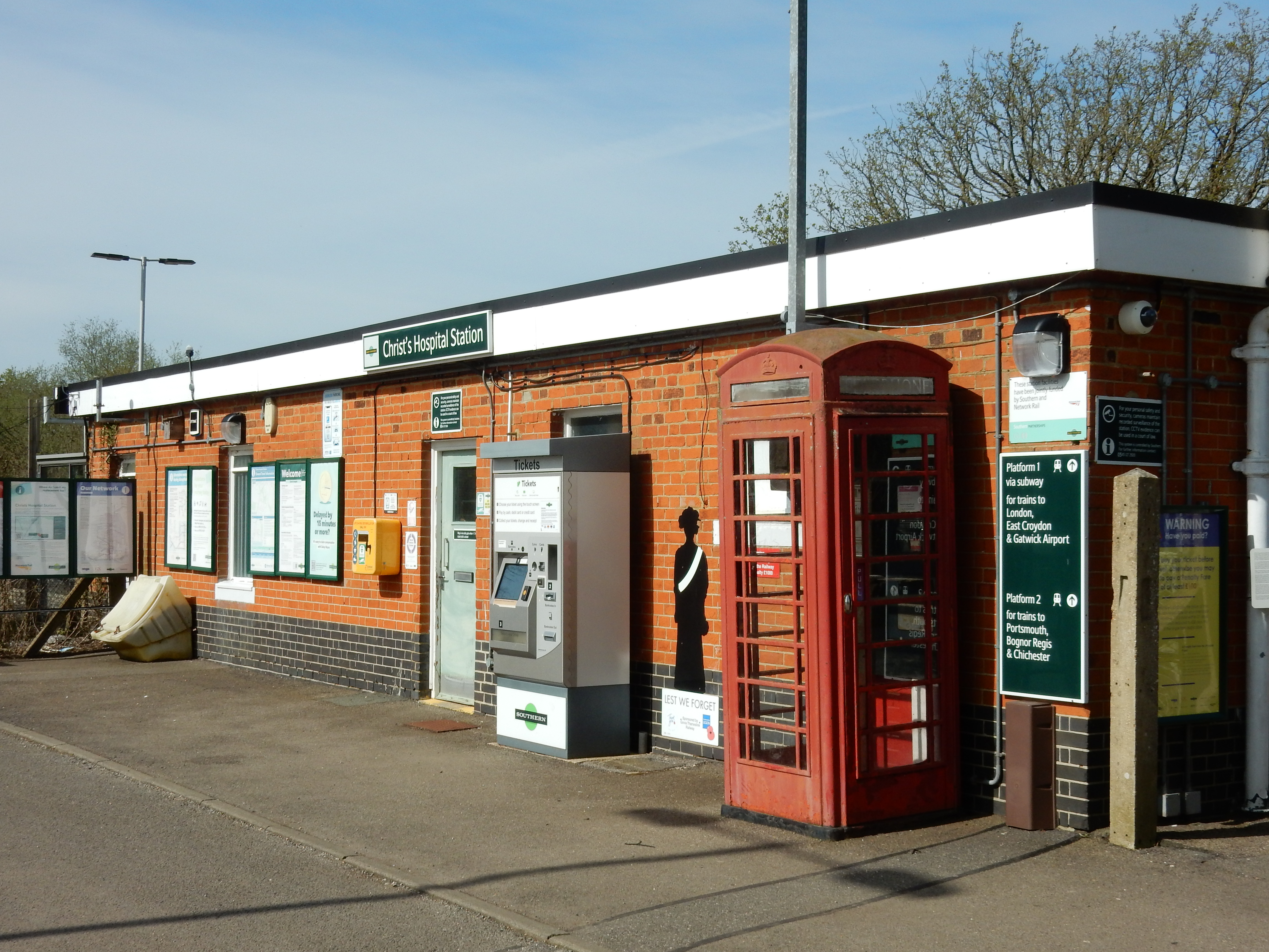
Parametric data
- Route name:
- Christs
- Start point:
- Christs Hospital.
- End point:
- Holmwood.
- This route on OS maps:
- https://explore.osmaps.com/route/21016280/ ...
- Distance:
- 11.9 miles walked, 9.3 miles flown.
- :
- 5.1 hours.[1]
- Ascent:
- 237 metres.
- Stiles:
- At least six. All are 'optional' because the path now goes around them.
- Landmark of note:
- The duck pond at Capel. Goodbye to dirt for the remainder of the walk 😀
- Feasible excursion:
- Sadly, there are long stretches of the A24 without a footway. Even so, on a day like today it might tempt me.
- Waypoints:
- Broadbridge Heath, Warnham, Capel.
- Refreshments:
- Packed lunch at Mayes Lane.
Weather:-
 18°C,[2] 🌤️
No rain, considerable sun, mild, a moderate breeze. Quite
unlike Spring.
18°C,[2] 🌤️
No rain, considerable sun, mild, a moderate breeze. Quite
unlike Spring.
-
Avoiding roads: -
 Byfleets Lane, Tilletts Lane, Mayes Lane. All, however, low
traffic.
Byfleets Lane, Tilletts Lane, Mayes Lane. All, however, low
traffic.
-
Footpath construction: -
 All the road walking just about earns this one nana. It
would be fine after a dry summer.
All the road walking just about earns this one nana. It
would be fine after a dry summer.
-
Footpath condition: -
Horrendous.
-
Vistas: -
Only the one view up to Leith Hill.
Blackberries:-
 Could be good later in the year.[3]
Route map.
Walk notes.
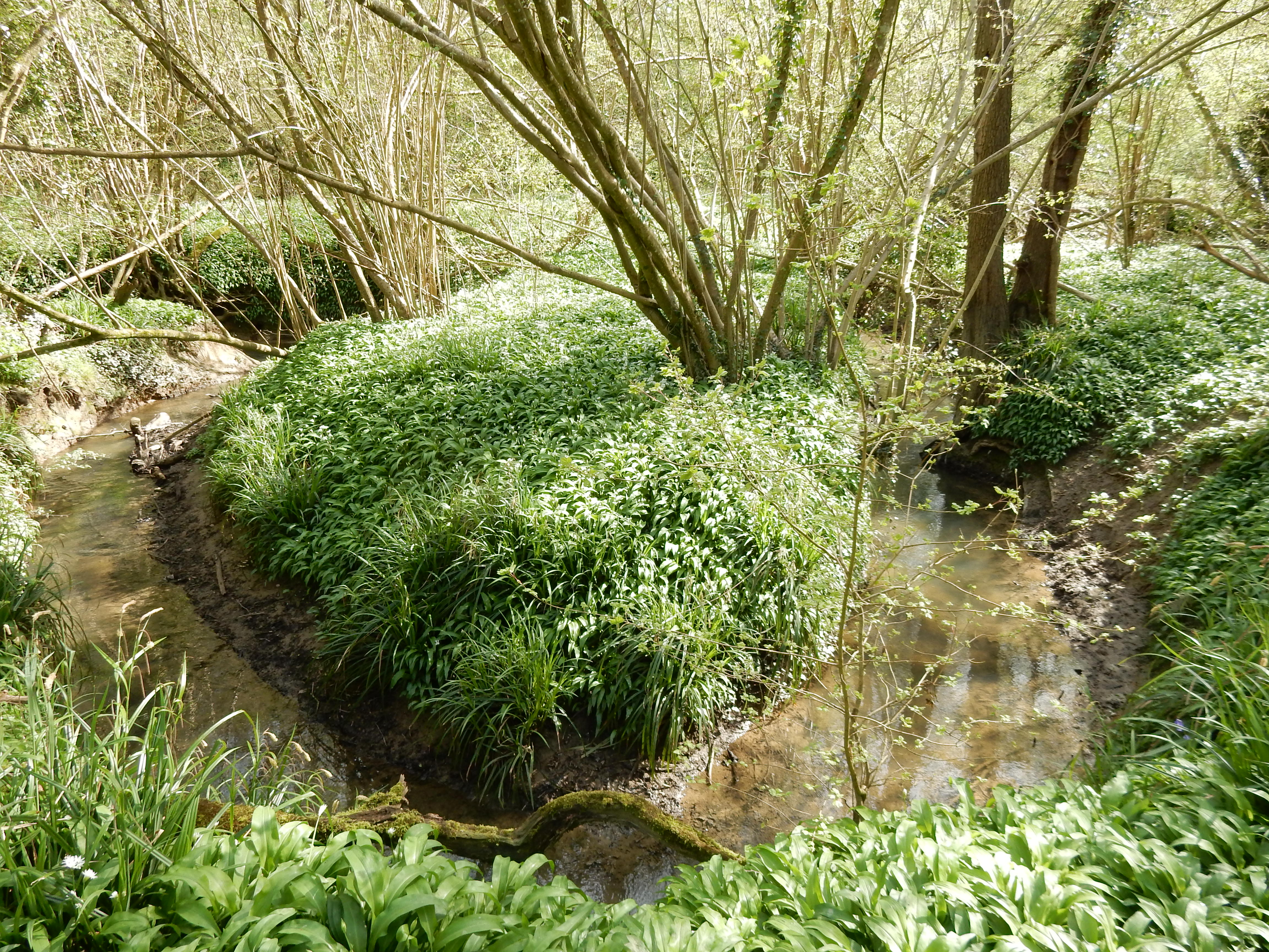
On most days, so far this year, it has rained. I have had to wait a long time for a break in the downpour, but today is it. My route endpoints are determined by two linkages of a family historical nature.[4] Although under no illusion that the way would be entirely mud free, I am alarmed to discover, just two minutes into the walk, that it follows a tributary of the River Arun along a dell between the station and the sewage works for Horsham. I am, metaphorically, in it up to my ankles. With wealden clay, that is. Looking to the left of the path, you see what appears to be an old ironwork gate. Maps drawn in the 19¢ show quarry workings west of it but, otherwise, it's a puzzle.
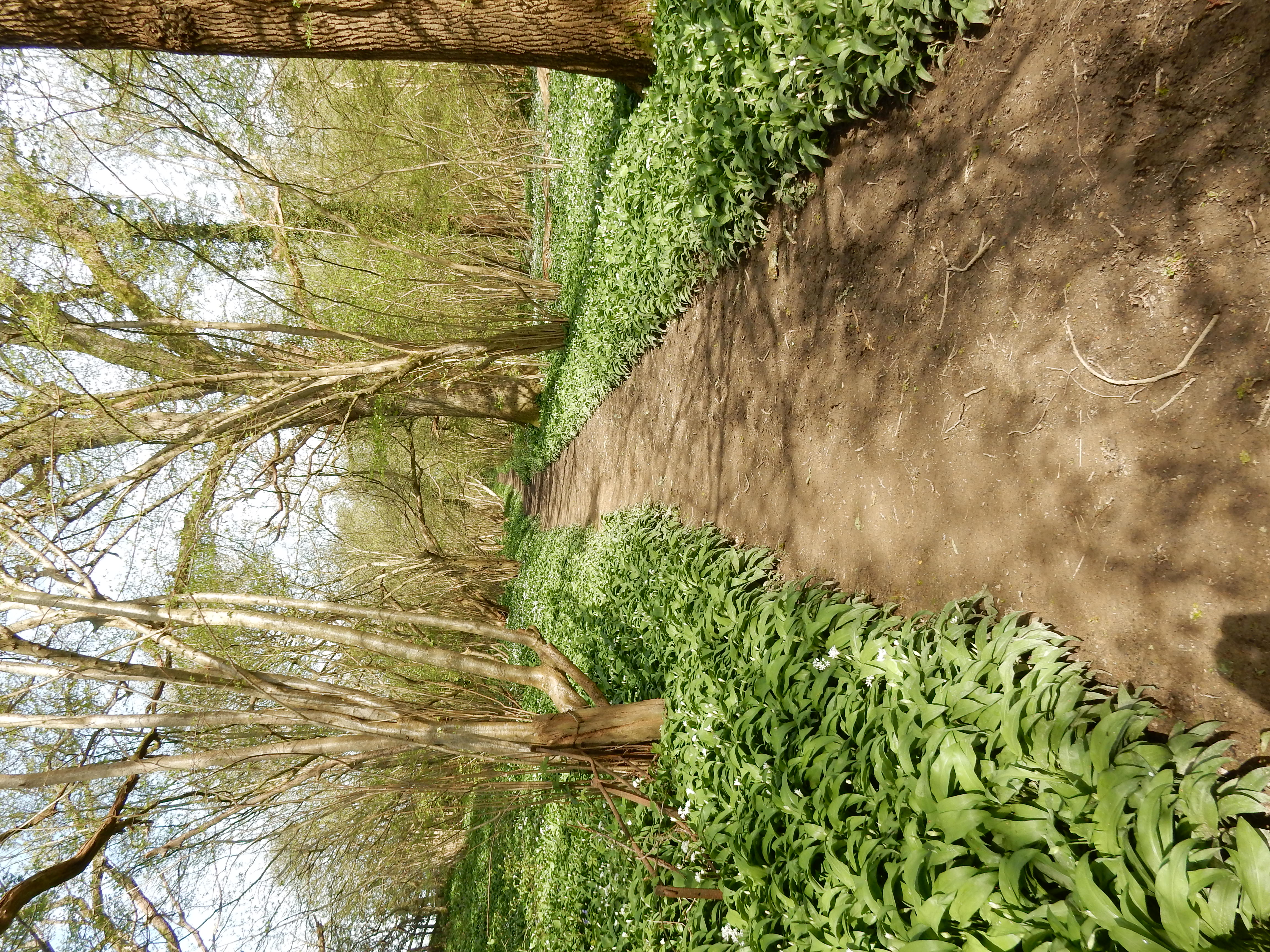

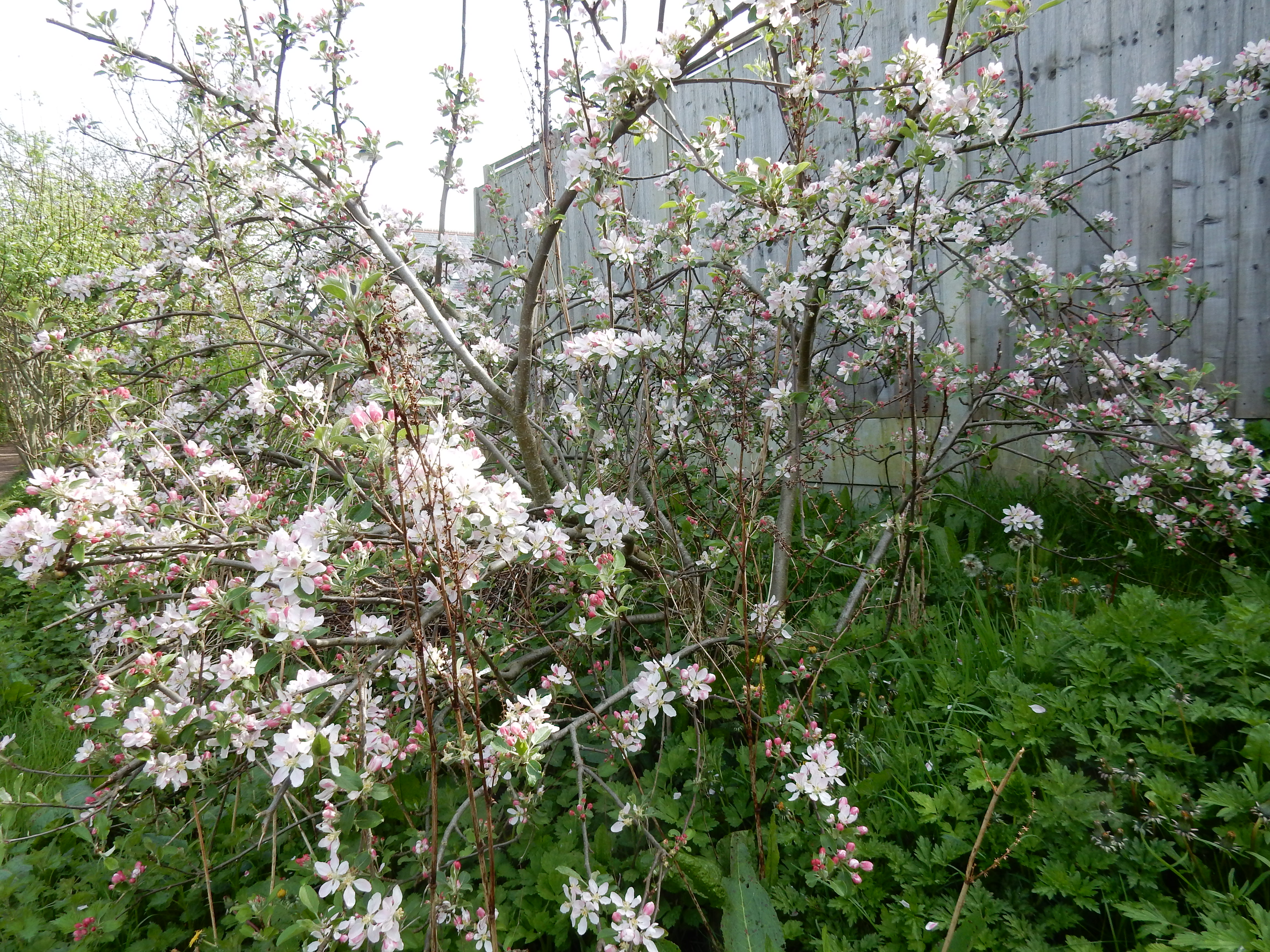
It may have been wet of late, but it is mild, too. The ' may' is definitely advanced this year. AI opines this to be prunus. There's about a mile of Broadbridge Heath suburbia to do before Byfleets Lane. This marks the start of approximately four miles of in-road walking. There is little traffic and the verges are mostly wide. Given the state of most of the footpaths this morning, I'm content to be on tarmac. In Mayes Lane there are some handy pieces of felled timber to sit on whilst I have a bite to eat. Going over Marches Road, you are back on another mile of soggy ground crossing Tickfold Gill. The hills five miles ahead I take to be the southern flank of Leith Hill, with Newlands Corner behind and to its left.
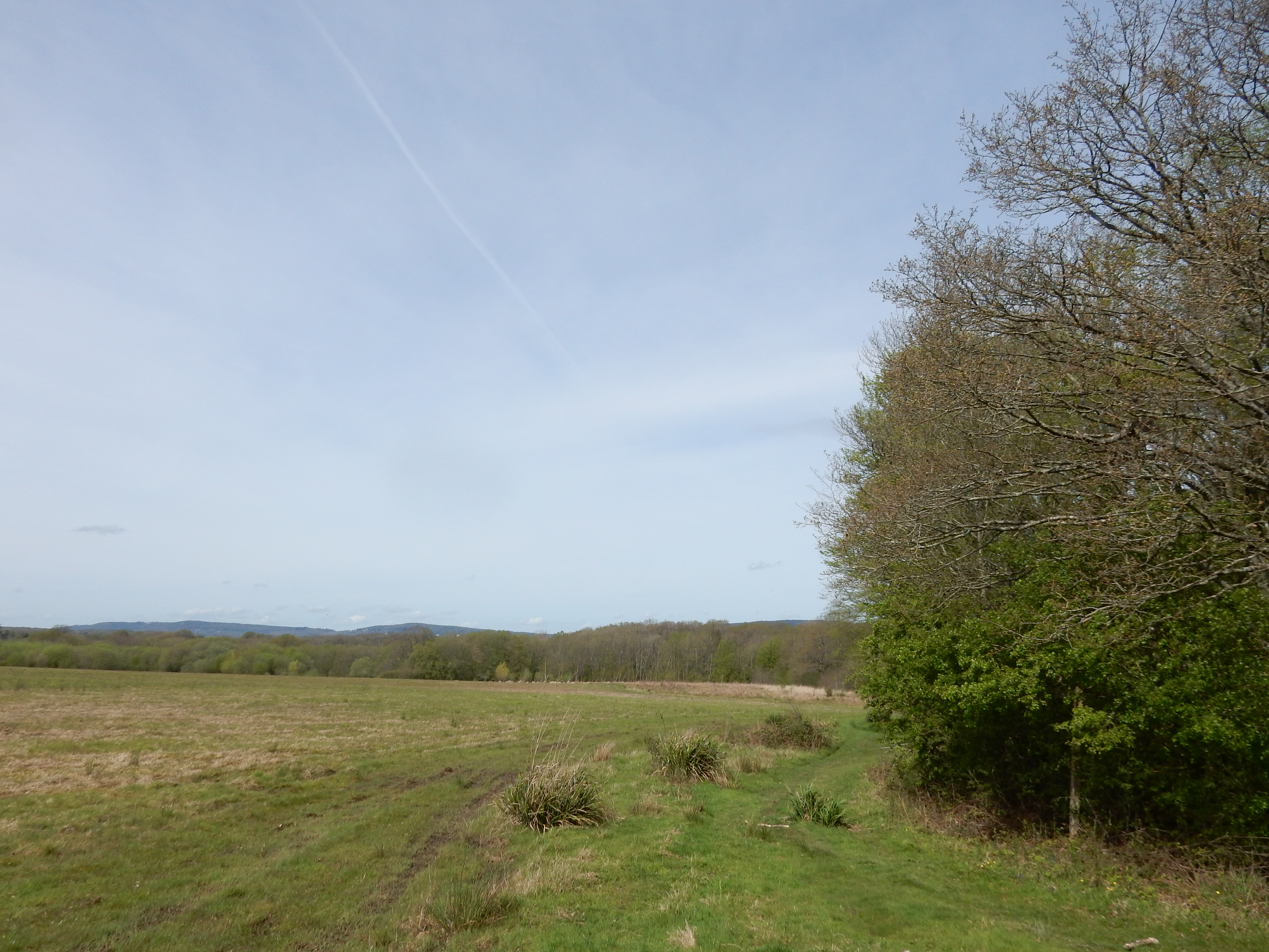
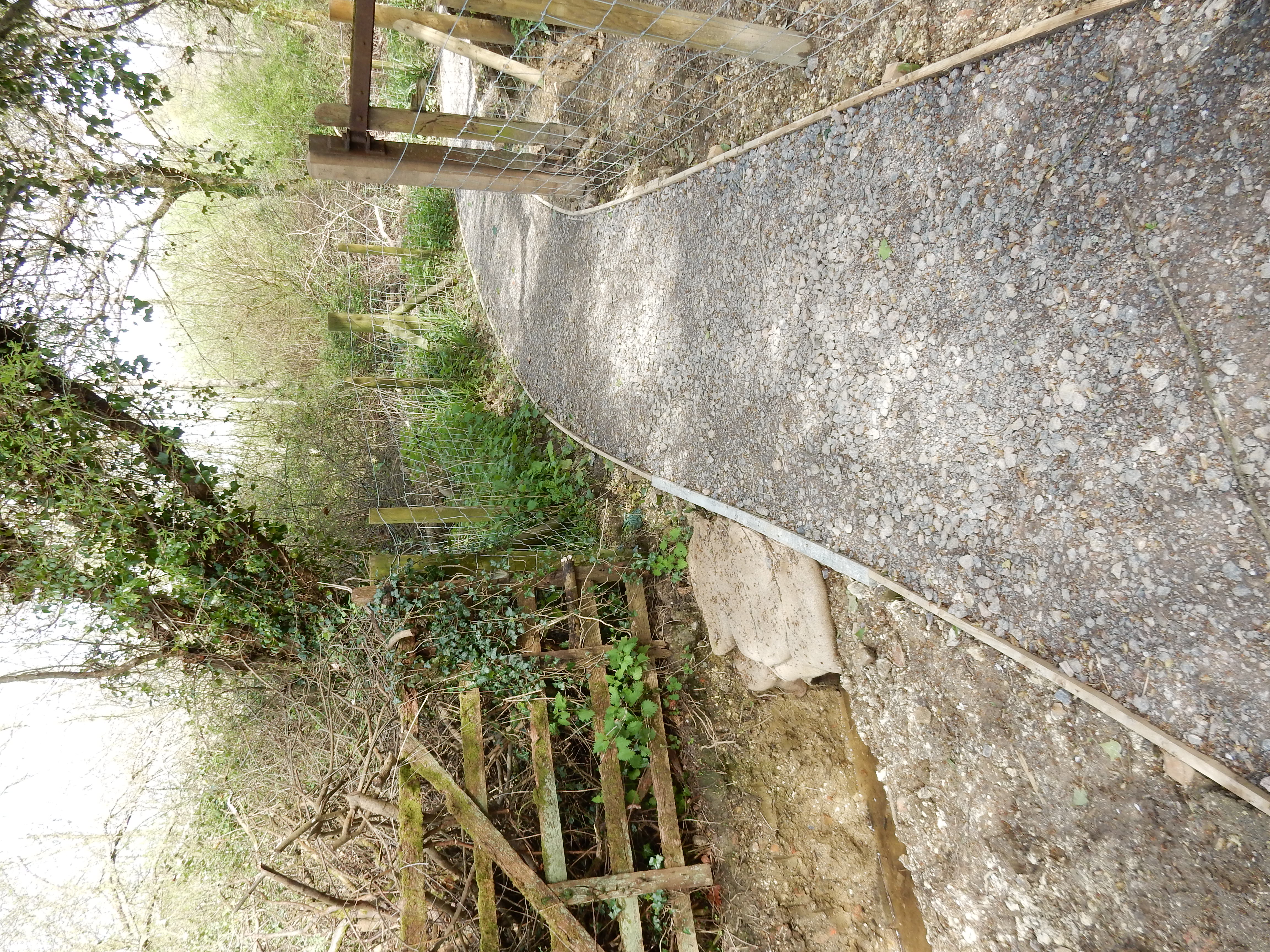
So pleased am I by an unexpected emergence from the mire at Smugglers' Lane and the Sussex Border Path that I overshoot the left turn after Wattlehurst Farm. Wishful thinking, really, because I'm back on streams disguised as paths until the road under the rail line near Osbrooks. The short stretch of A24 after that is absolute heaven in comparison with the track past Pleystowe Farm. What isn't apparent here is that the mud at the bottom of the ruts is both very deep and gloopy. They have to be jumped; a manoeuvre fraught with difficulty. I have nightmares for weeks. The map calls it Nightless Copse. Get it? So the final stretch of mud misery takes me into Capel. Someone there must have decided that enough is enough and put down some splendid new BLA over the worst of it. You wouldn't mind, presumably, doing the same along the previous ten miles? Thank you.


The last three miles before Holmwood station are all roadside footway. I sail along them at speed quite pointlessly because the trains there arrive only when there is a 'z' in the month 🙄