
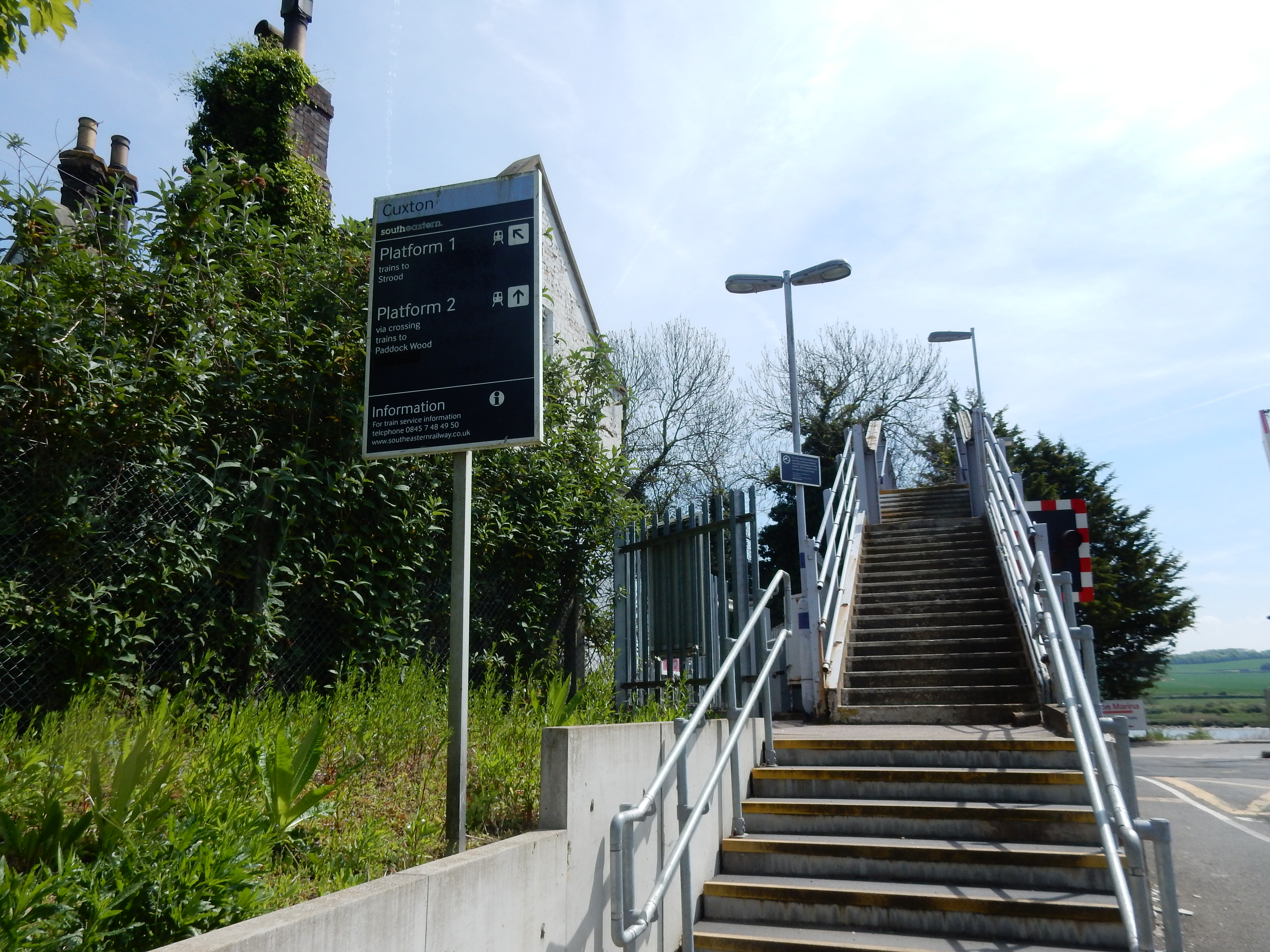
Parametric data
- Route name:
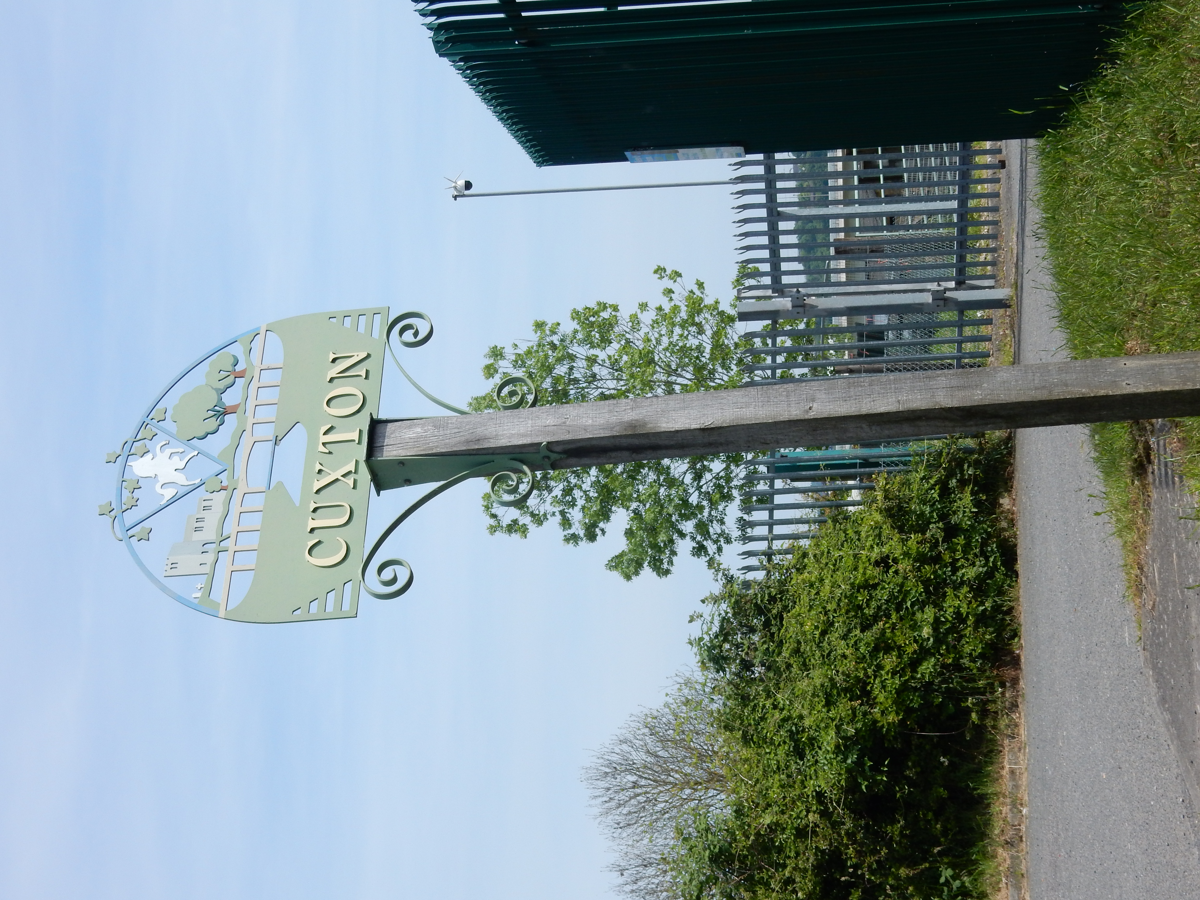
- Cuxton
- Start point:
- Cuxton.
- End point:
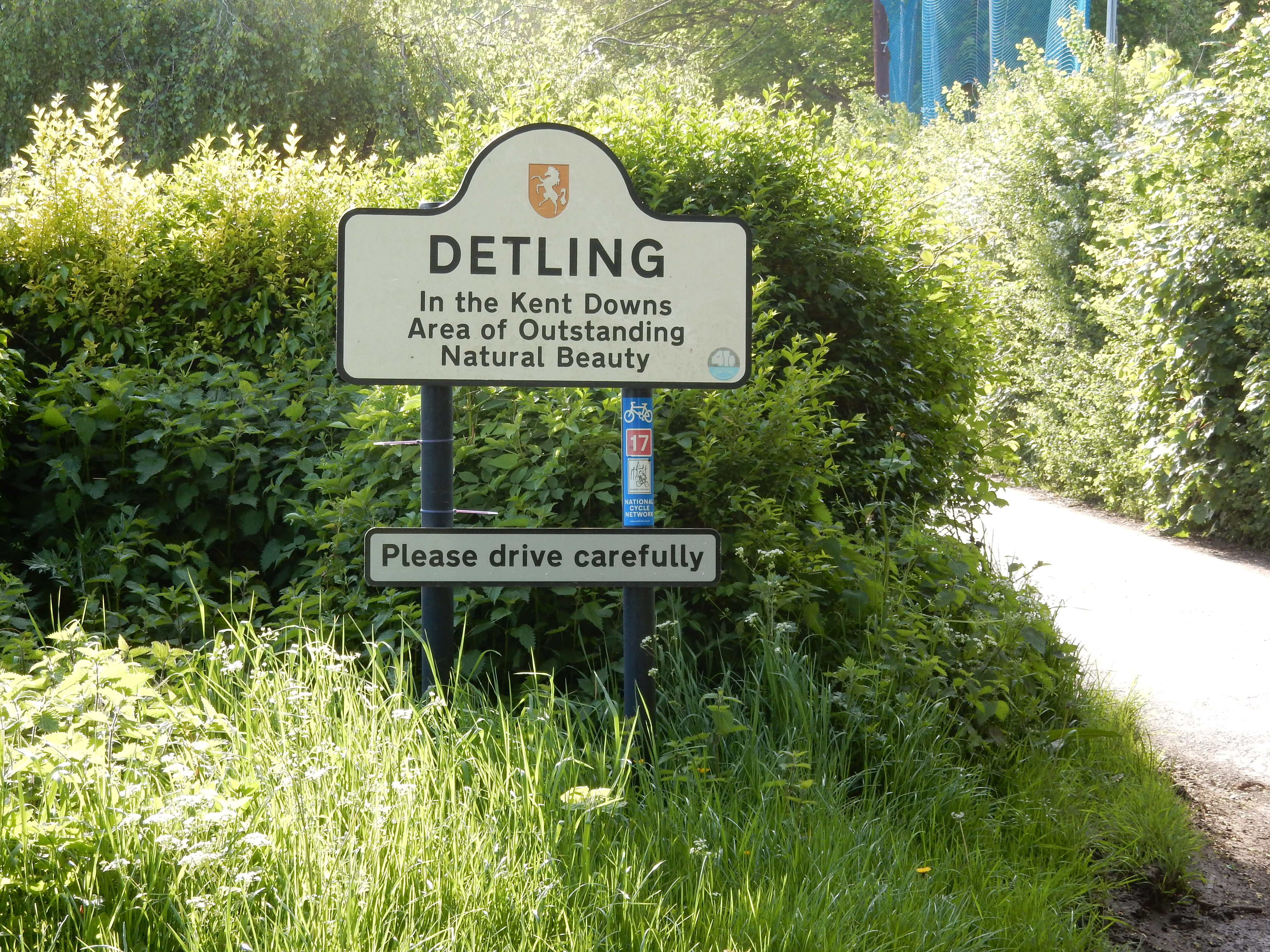
- Detling.
- This route on OS maps:
- https://explore.osmaps.com/route/21479422 ...
- Distance:
- 12.9 miles walked, 8.5 miles flown.
- :
- 5.4 hours.[1]
- Ascent:
- 394 metres.
- Stiles:
- 1 (at the Detling end).
- Landmark of note:
- There is a plaque marking the speed record set by HS1.
- Feasible excursion:
- Shortcuts as documented below.
- Waypoints:
- Nashenden, Burham Down, Blue Bell Hill, Kit's Coty, Boxley, Westfield.
- Refreshments:
- Packed lunch on a tree stump at Syle Wood.
-
: -
 17°C,[2] 🌤️
OK, but when there is this much ascent to tackle, a cool
breeze is to my liking.
17°C,[2] 🌤️
OK, but when there is this much ascent to tackle, a cool
breeze is to my liking.
-
Avoiding roads: -
 Half a mile or so of Common Road. You don't actualy have to
walk in the M2, but, for a time, it feels like it.
Half a mile or so of Common Road. You don't actualy have to
walk in the M2, but, for a time, it feels like it.
-
Footpath construction: -
 My misadventure through Bridge Woods was totally avoidable.
-
Footpath condition: -
 Only the flood at Bell Lane ruined this score. Much of the
route is through woodland. Such paths tend to poor condition
in winter, especially if shared with cyclists.
Only the flood at Bell Lane ruined this score. Much of the
route is through woodland. Such paths tend to poor condition
in winter, especially if shared with cyclists.
-
Vistas: -
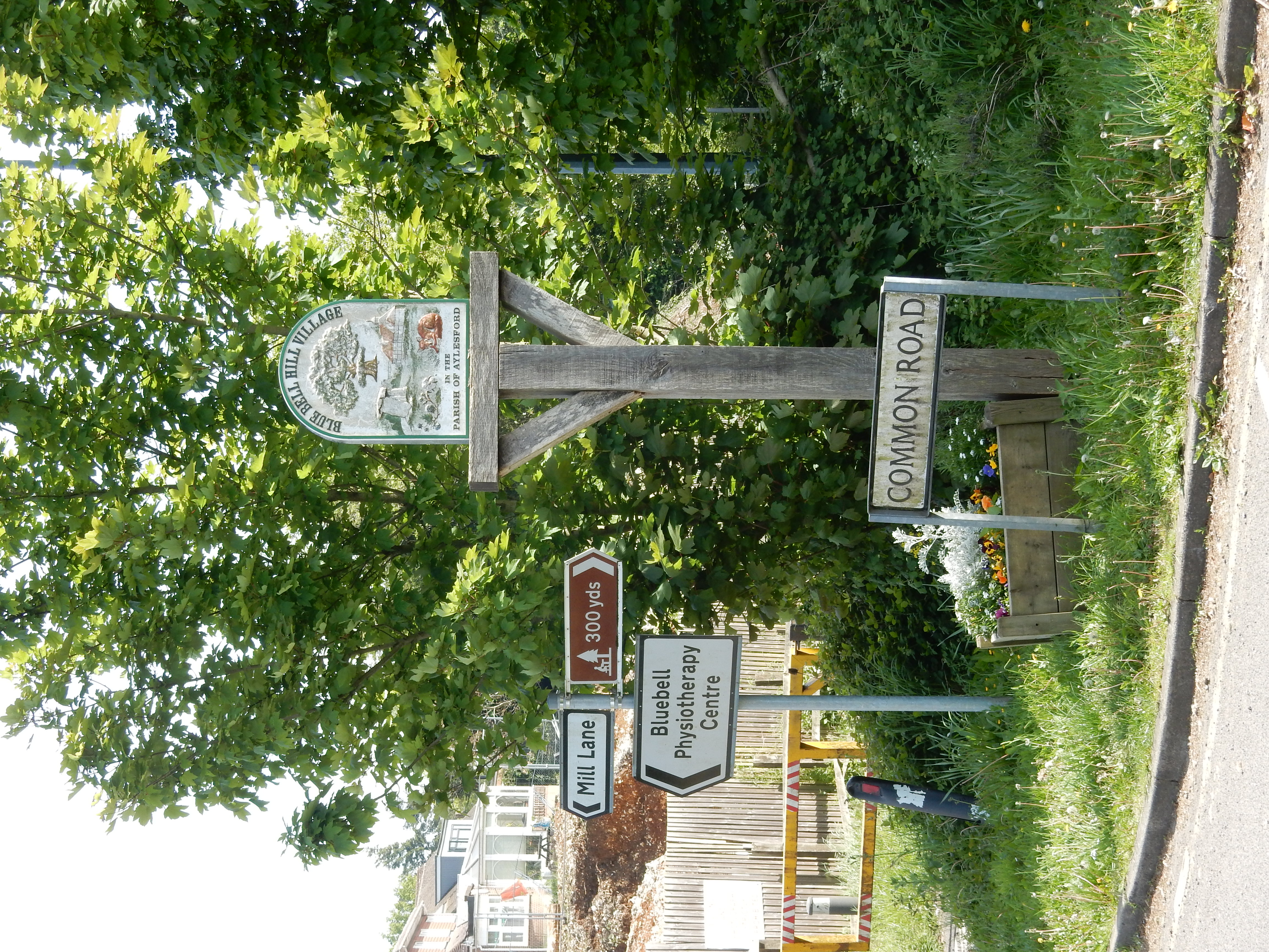
Over the Medway viaduct. Considering how much of the route
here is along the
top of The Downs, this is a bit meagre. There is the Blue Bell Hill
car park.
Blackberries:-
Towards the Autumn, could be good.[3]
Route map.
Walk notes.
This stroll comprises Section 7 of an ongoing project to complete all 131 miles of the North Downs Way National Trail (NDW). It follows on from Section 6 that I completed in March. Half the joy of these long distance National Trails is that less planning work is required on your part. In theory, that is. The issue today is transport at the far end. For the most part, endpoints on NDW sections have nearby access to the rail network. However, the line swings some way south of Detling, stopping at Bearsted, 1⅓ miles away from the route of the NDW.

In earlier days, Detling had a bus service that could take you into Maidstone. By 2023 that was decimated (alongside other rural bus services), and now runs sporadically, to say the least. What to do? Well, I set off from Cuxton with the intention of combining Section 7 and Section 8 (Detling to Lenham) in one walk. That neatly avoids the transport issue at Detling, but it's not a good idea. It proves overambitious due to the late start inflicted by the tortuous, three change rail journey to Cuxton. Not until six weeks later will there be enough daylight for the 22 mile trek required.
Ho, hum. Plan C it is, then. Eventually crossing the A249 at Detling Hill, I descend southwards to Bearsted. It's a pretty desparate measure that I would not repeat, but the best I can devise on the hoof. I'm still calling this a walk to Detling, but the mileage I quote is to the station.
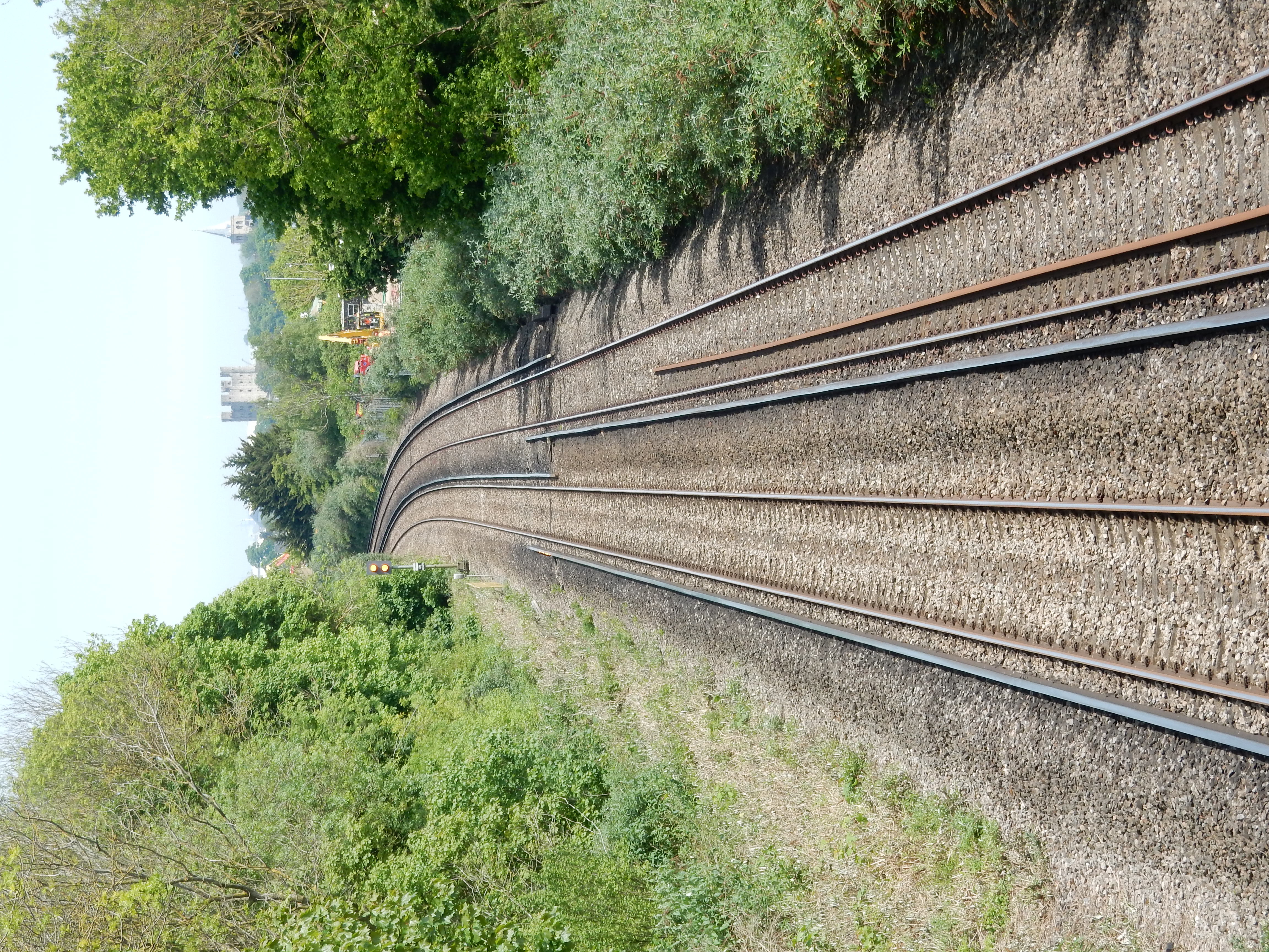
That, however, is almost five hours in the future. I'm now retracing my steps along Station Road at Cuxton in preparation for the long ascent of Sundridge Hill. The views at the top are rather exceptional. They include a nexus of transport routes old and new. There is, firstly, the River Medway with its precession of leisure craft heading to or from Chatham Marina.
Examples can be found elsewhere in these walk diaries of former rail lines converted into footpaths and cycleways. Particularly good ones, most such are. In contrast, secondly, today's lines don't just continue in use for trains; they include new track, too. There are here three, quite separate, rail lines: that shown at right (which heads into Rochester), the line from Strood to Cuxton (that took me to the start of this walk) and the HS1 taking Chunnel trains to Ebbsfleet.
Thirdly, there is the M2, initially constructed during the 1960s, striding across the Medway, on two bridges, towards Canterbury. Lastly, there is the footpath I follow this morning, separated (somewhat unusually) from the southbound M2 carriageway by just a low fence. With the motorway traffic thundering past my right ear, and a 130 foot drop to my left, I am disinclined to linger admiring the fine view. It's already rather too warm for comfort.

All is well for the first couple of miles, but you will not be surprised to read that the planning debacle that comprises today's walk is only just beginning. I reach about half a mile along Nashenden Farm Lane when I note that the NDW takes a sudden lurch to the right, up the hill, through a hamlet, over HS1, past two nature reserves and the Robin Hood, around in an arc about three miles long before rejoining the route I'm currently on at Blue Bell Hill. Nah, let's stay on this nice wide tarmac bridleway on the flat. "That's a good idea, Stanley", you reply.
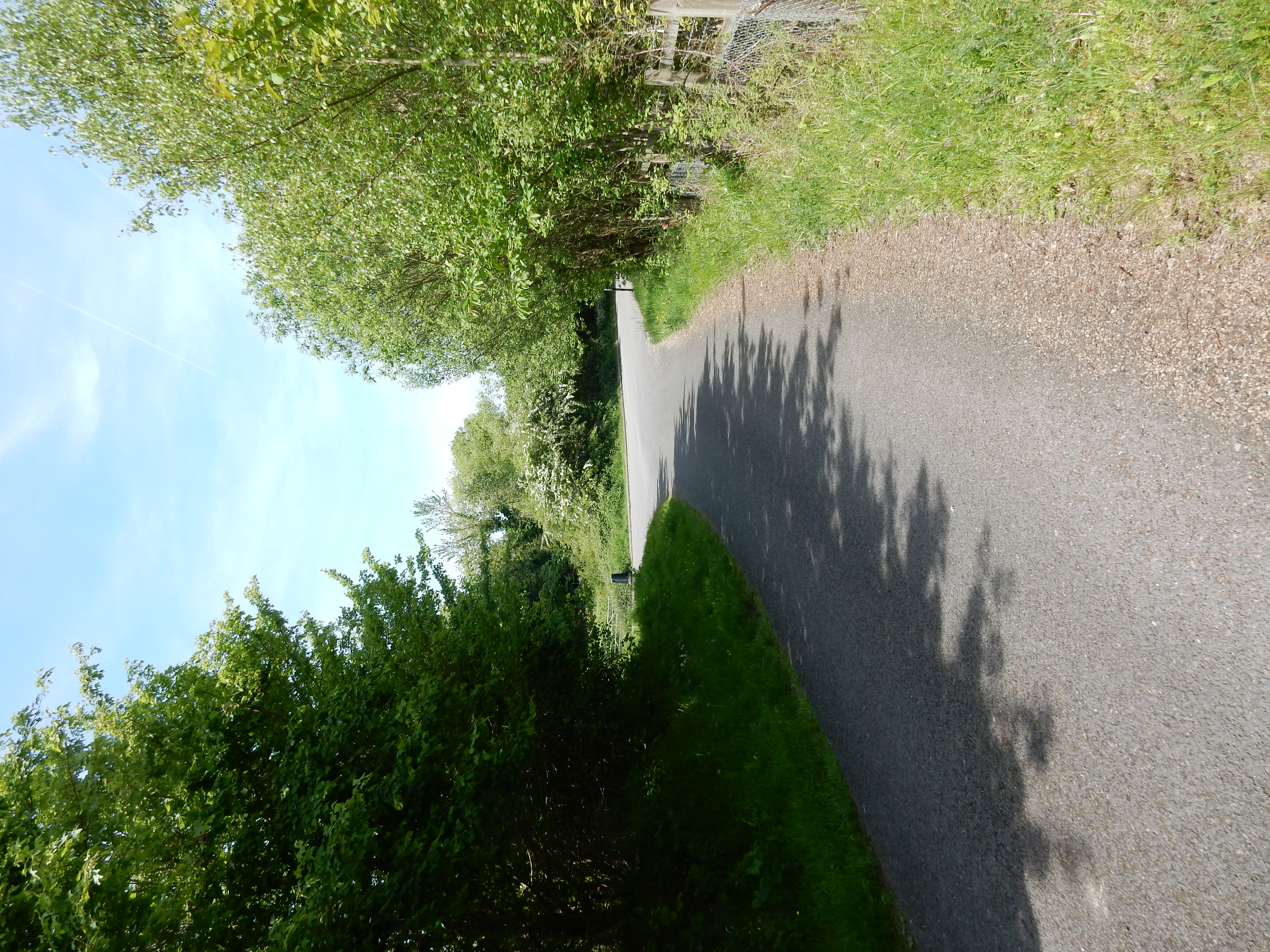
Of course, my nice, flat bridleway soon disappears like the dew
in the morn', along with the helpful 'acorn' signs waymarking
the genuine NDW. In the end, I reach
Blue Bell Hill, but it's a struggle. Ho, hum. Plan B has the added
distinction that, with the M2 still in earshot, I enjoy an
extended serenade from HS1. The
finger post is on the wonk only because of the slip-stream generated
by passing trains 🤥
Seriously, this is not more civil engineering akin to that we
inherited from the
Victorians.
Whatever HS2 might become, it won't be that.

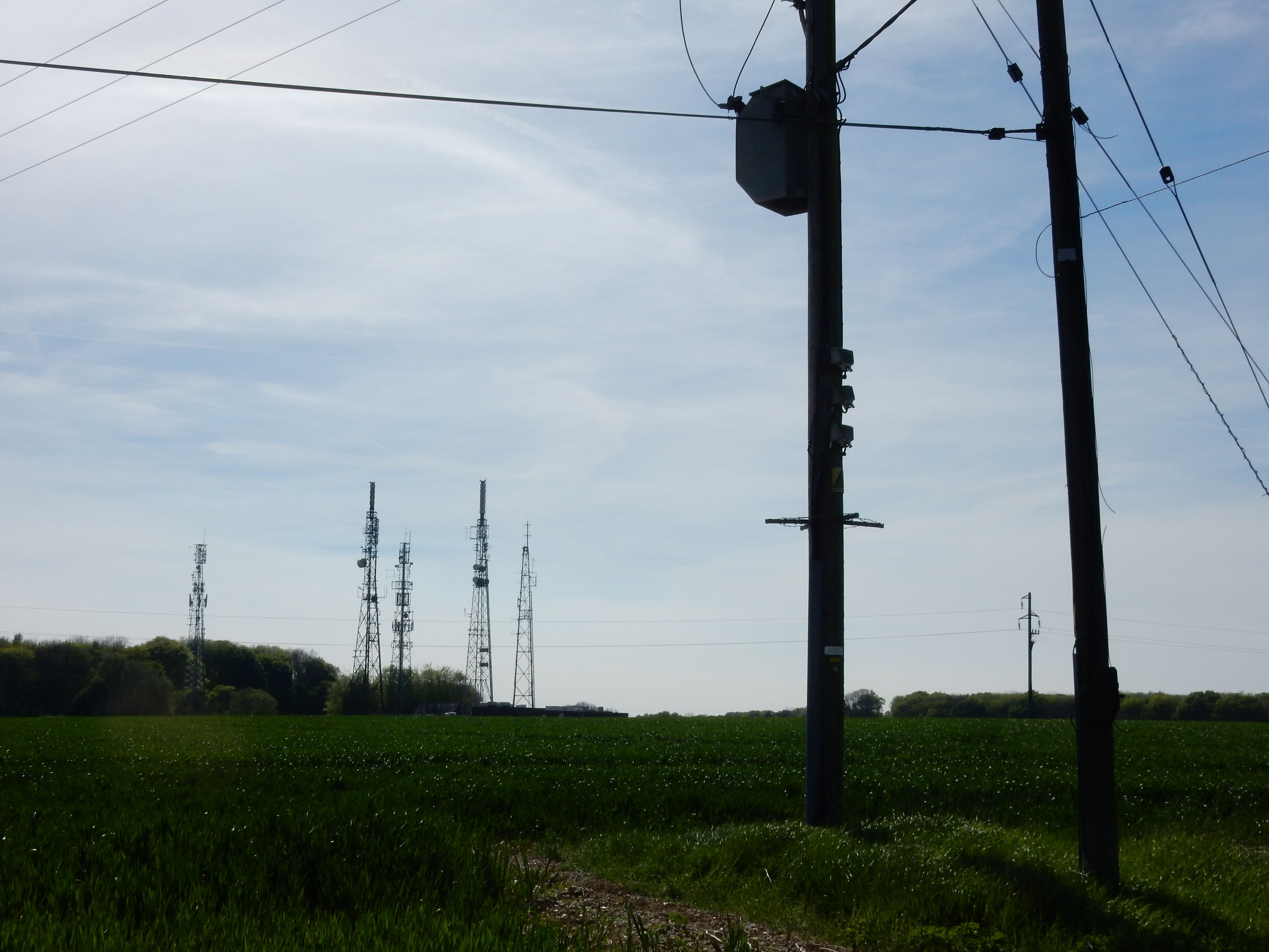
So, no sooner do I rejoin the NDW before it goes off on another wacko meander, leaving me a shortcut past the Blue Bell Hill transmitter masts.[4] The terrain might have been easier were it not for this problem with flooding at Bell Lane.[5] Arriving at Westfield Wood, there is a reversal of the previous disagreements between my actual route and the official NDW variant. The OS shortcut, if it exists at all, is hard to see. Most likely it got ploughed up. It's fine with me. Out in the open, higher up, across the field, there's no shade at all, and the walk has already warmed up enough, thank you very much.

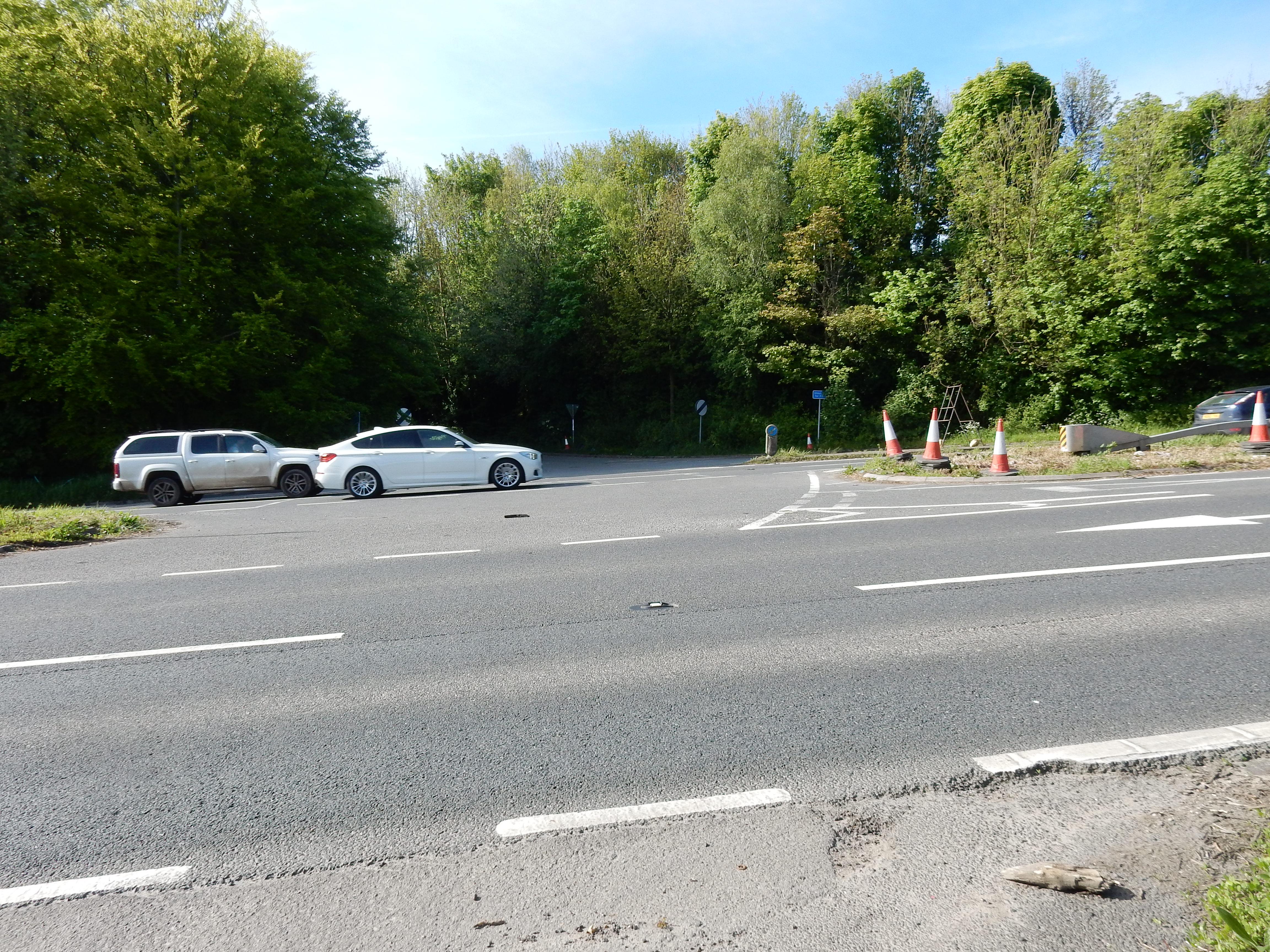
Afore long, then, I arrive at Scragged Oak Road,[6] and the terminal trouble mentioned earlier. Looking again now at the OS map, it's obvious that the NDW descends 100 metres into Detling, and then immediately climbs back up The Downs, only for the sake of (the now defunct) transport there. A rethink of this part of the trail is definitely needed. Fear not for Section 8. Thinking was once my strong point 🤔
Take a tip: if you wish to emulate my diversion to Bearsted then don't bother trying to cut across the Golf Club. It isn't quicker, and the PRW is not at all obvious. The risk of getting clonked by an energetic tee shot is rather more than that posed by such traffic as uses Thurnham Lane.