Parametric data
- Route name:
- Otford2
- Start point:
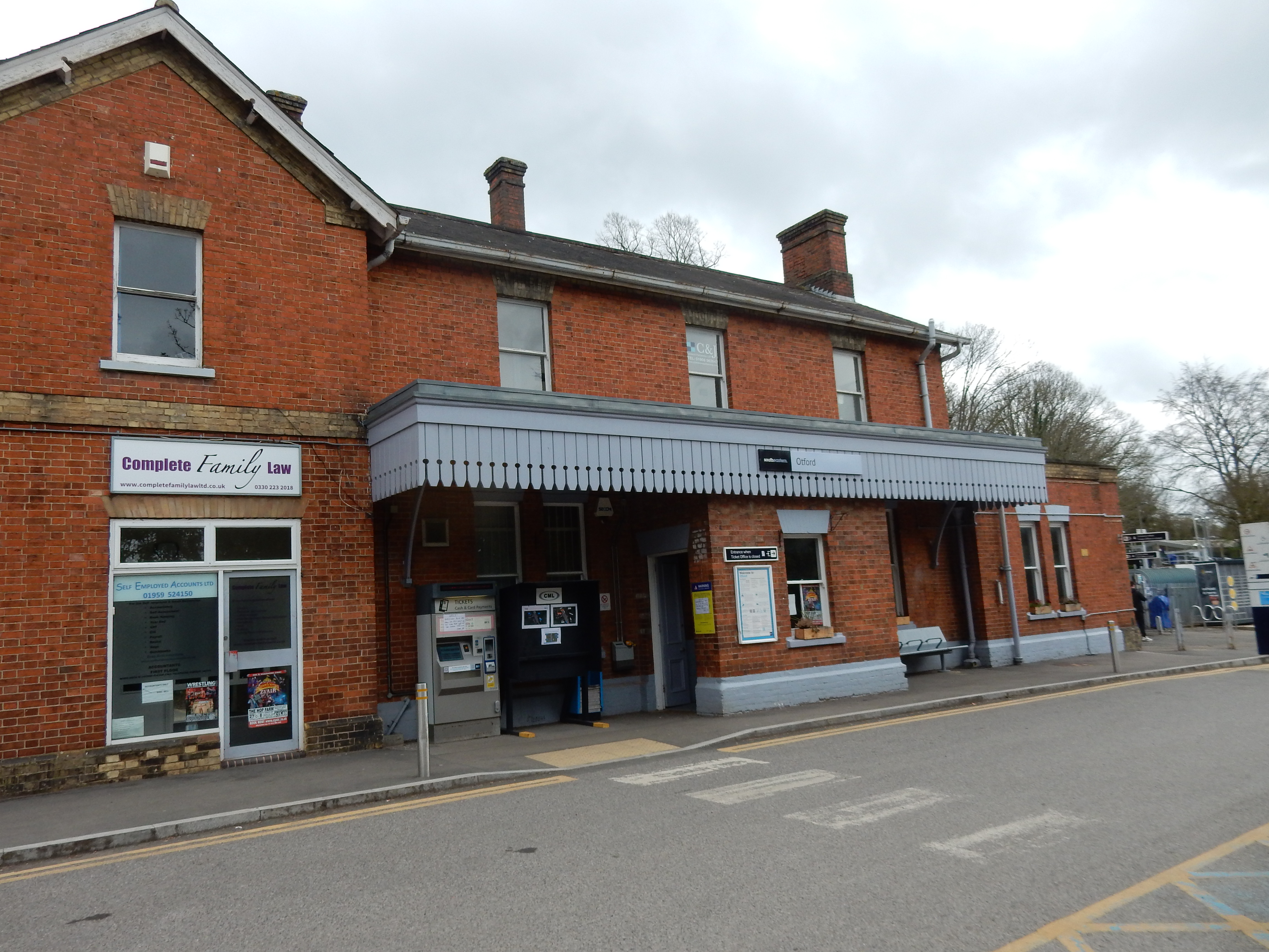
- Otford.
- End point:
- Cuxton.
- This route on OS maps:
- https://explore.osmaps.com/route/20790926 ...
- Distance:
- 15.4 miles walked, 12.2 miles flown.
- :
- 6.0 hours.[1] Given the conditions, pretty respectable.
- Ascent:
- 459 metres: by a wide margin, a walk record.
- Stiles:
- 4.
- Landmark of note:
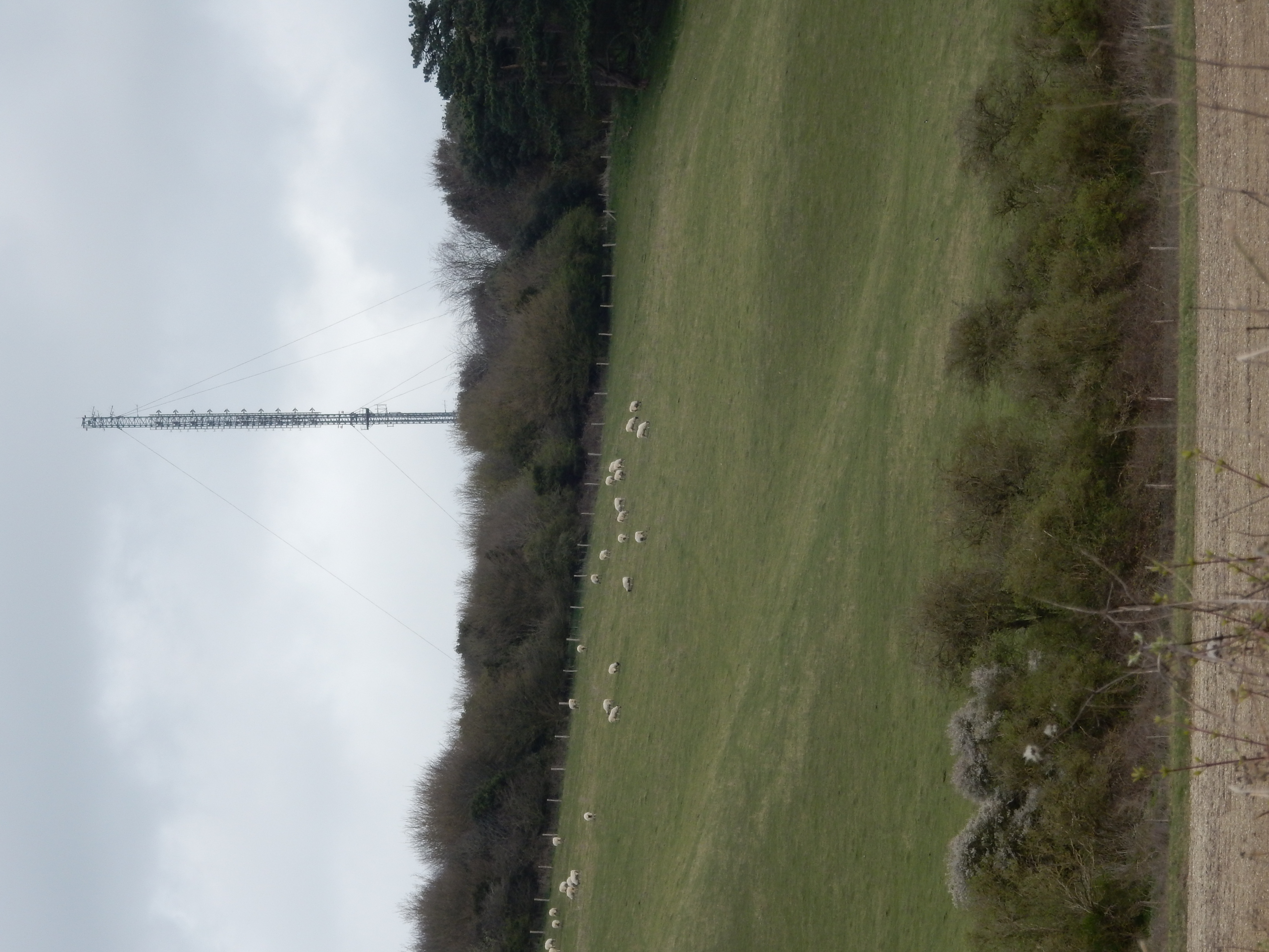
- Transmitter mast at Wrotham.
- Feasible excursion:
- Don't go through Whitehorse Wood. See notes.
- Waypoints:
- Kemsing, Cotman's Ash, Wrotham, Hognore, Vigo, Holly Hill, Great Buckland, North Halling.
- Refreshments:
- Packed lunch at Wrotham.
Weather:-
 10°C,[2] ⛅️
About normal for the start of Spring.
-
Avoiding roads: -
 Actually, not that bad. Much of Hognore can be walked in the
fields on the north side.
-
Footpath construction: -
 Around 30% is dirt.
-
Footpath condition: -
 It rained most days in 2024 up to this. The NDW is well
used, with the inevitable result.[3]
-
Vistas: -
 Otford Mount is shown as a viewpoint by the OS, but the
trees get the better of it. Holly Hill is not shown, but the
trees have recently been cleared from the western slope.
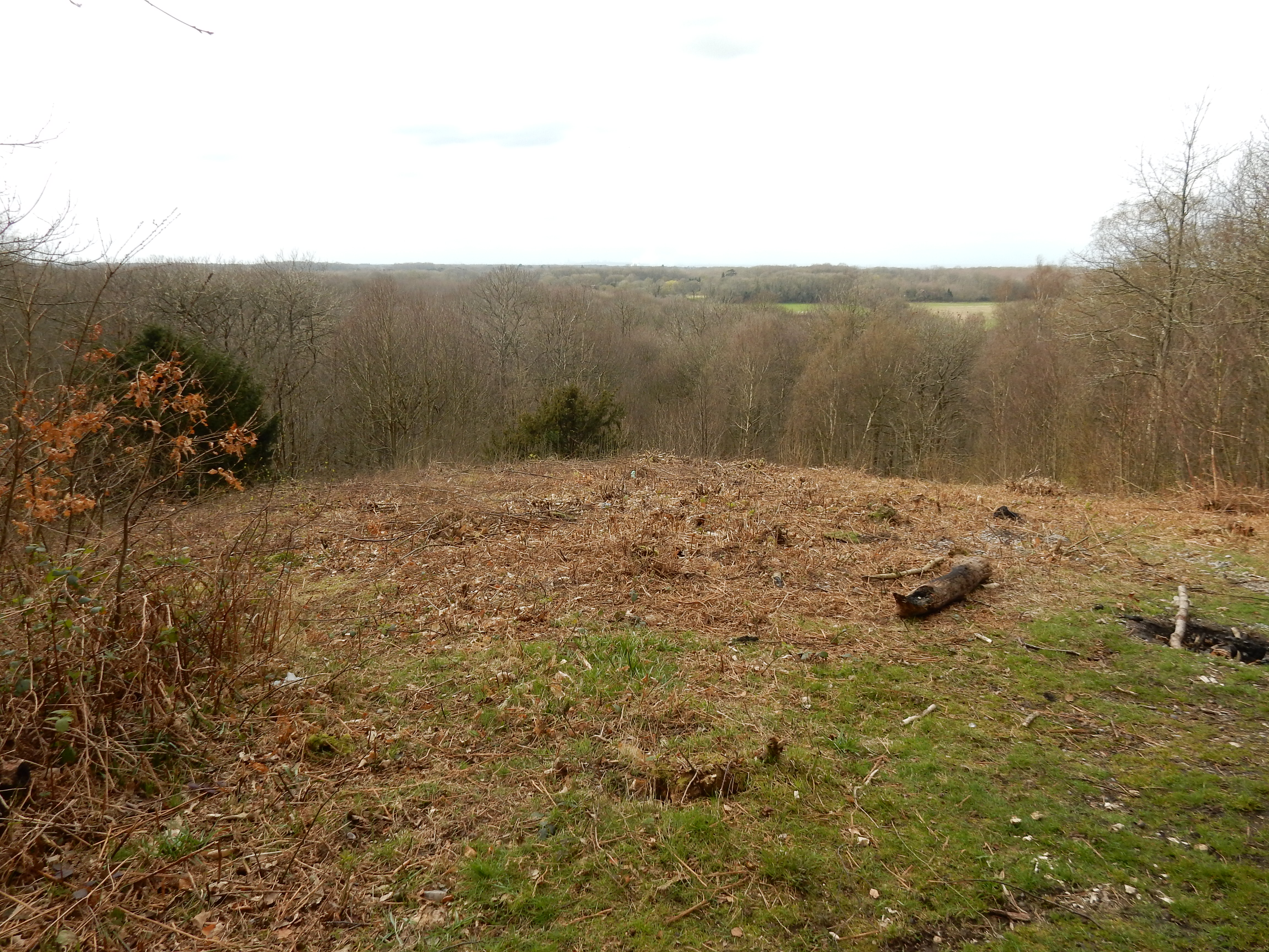
Cuxton is best of walk (PM).
Blackberries:-
 Plenty of woodland, but the brambles are in new leaf.[4]
Route map.
Walk notes.
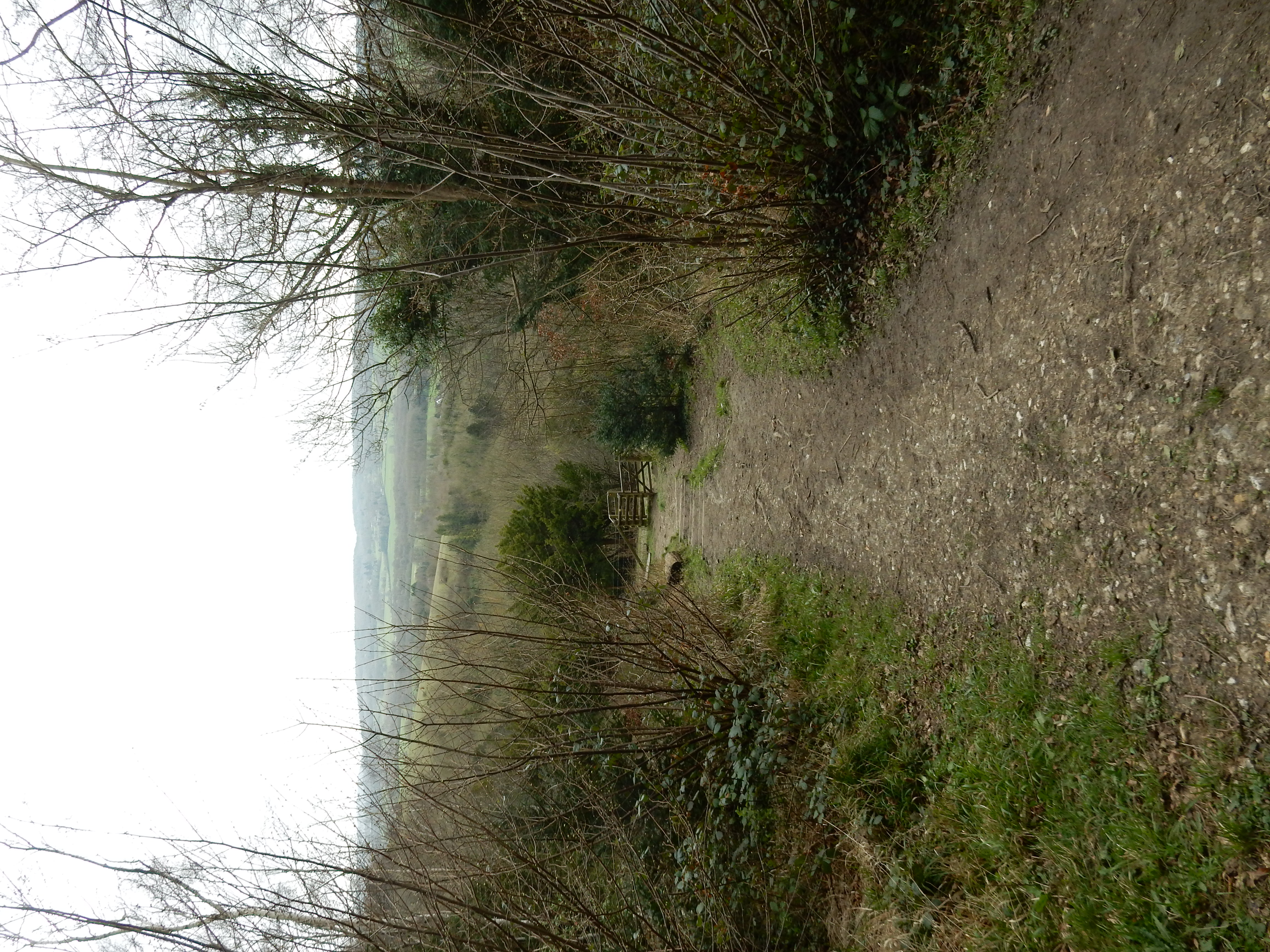
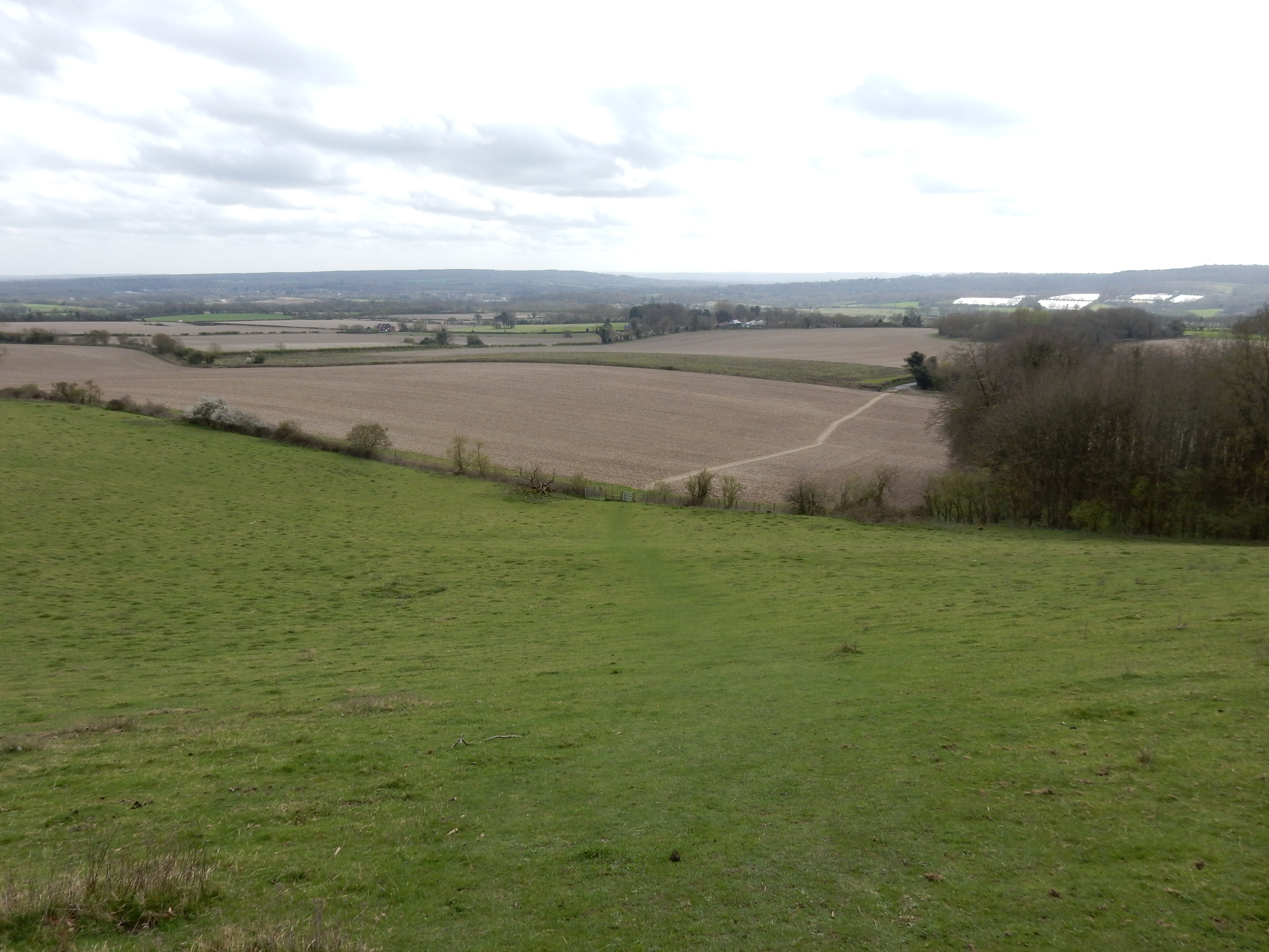
"Light cloud", says the forecast, but then adds, ominously, "and a gentle breeze." This phrase drives terror through the hearts of all experienced ramblers, who must then prepare themselves for the ensuing tempest. Not the most promising start to a walk, perhaps, but the best chance I've had for some months. This stroll is part six of an ongoing project to complete all 131 miles of the North Downs Way National Trail (NDW). It follows on from Section 5 that I completed (in the wrong direction) in September. Living, as I do, ¾ mile south of the NDW, a number of my walks have used parts of it from time to time. It is familiar territory, and I know that its general character is anything but flat. Otford to Cuxton is no different and, from the start, I am tackling a rise of 124 metres over the first 1200 eastwards. Should be called the North Ups Way. Enjoy then the view from Kemsing across to the southern slope of the valley on the horizon about three miles distant, and reflect that you have a further eleven miles still to walk.
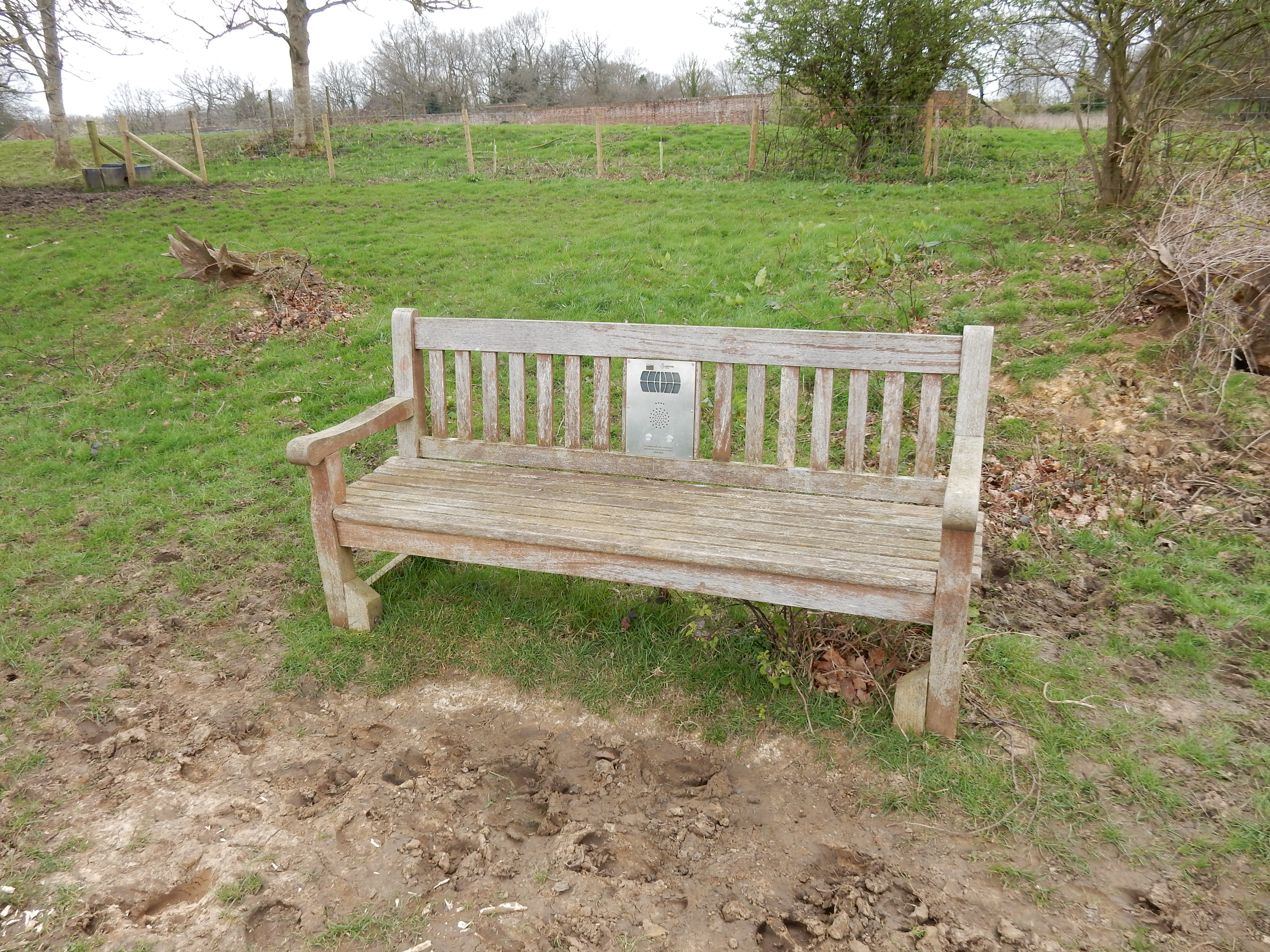
Perhaps mindful of the requirements accumulated by ramblers during such an ascent, someone has placed this novel rest on the slope below Otford Manor. I was once accused of talking out of my backside, but I have never placed my posterior anywhere capable of talking back at it. Push the button and hear an announcement spoken in the best RP. A competition is now open to write alternative texts to that delivered; the winner to be published here in a year's time.
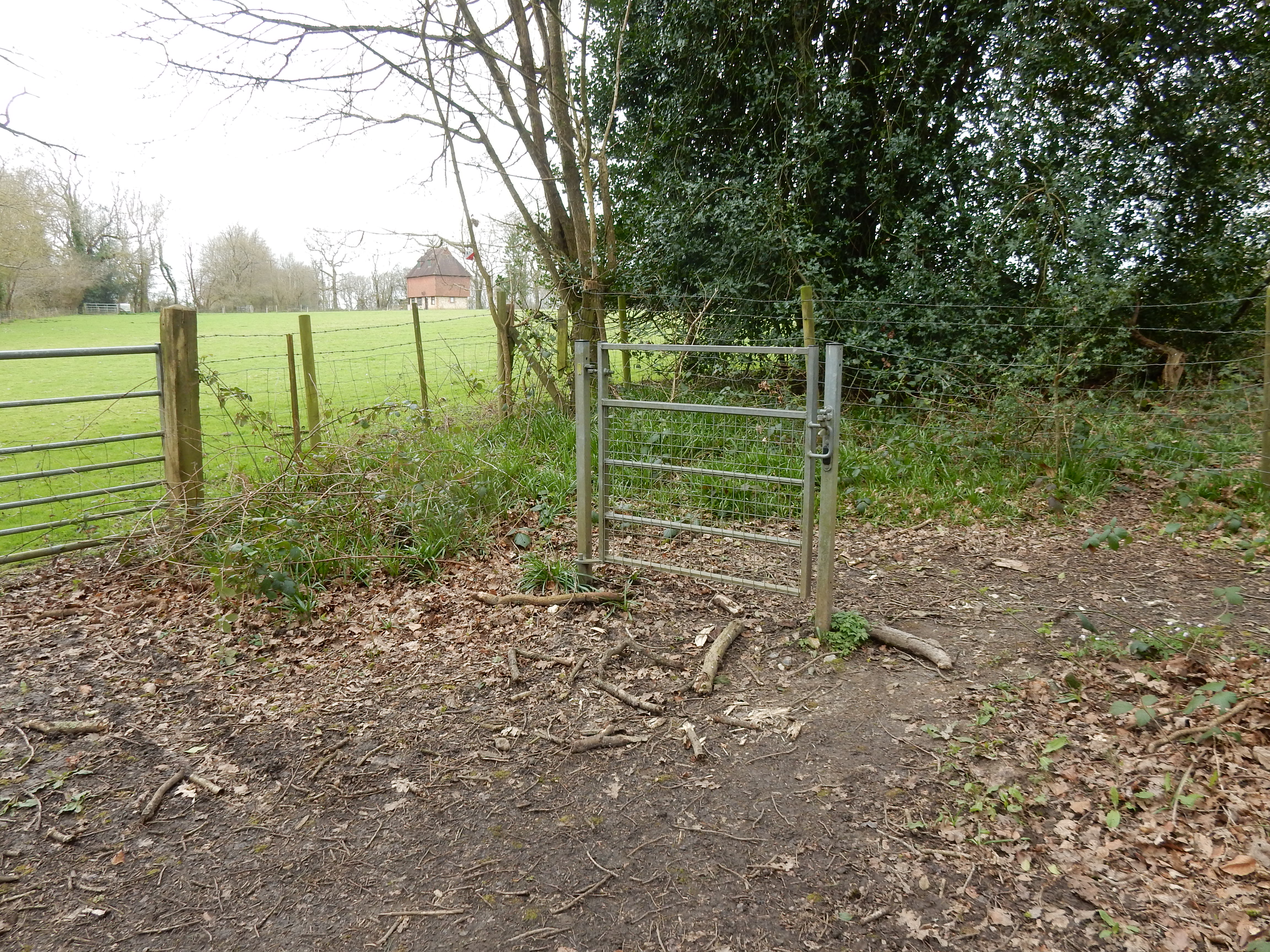
At Fab's Wood I am astonished to discover an
object
performing less usefully than me. The more useful
milestone
at the St Clere Estate informs me that I have just 65 miles
further until Dover. Well, it's one o'clock already. Not sure I
can make that before lunch. Nor am I tempted by that finely
crafted wooden seat. Cross Old Terry's Lodge Road to gain a
view down the slope
to the Pilgrim's Way where it meets the (nicely ploughed
up) NDW at Kemsing Road. Nil desperandum; after this stretch of
dirt, the NDW is largely
BLA (or better) until Chatham. My average speed picks up a
tad. I do, however, stop for a
pic
of the
transmitter mast
at Wrotham. If you are not also a holder of an Amateur
Radio transmitting licence then the iconic nature of this
facility may not penetrate the very depths of your soul. For
those of us of a technical bent, however, it is a red-letter day
to behold it for the first time. Honestly 😲
Its
actual height is not apparent seen from here on the opposite
side of the M20 - as an increasingly loud roar confirms as you
plod east towards Wrotham village and lunch at the Recreation
Ground.
Lunch done, I cross over the M20 and start a mile-long walk in the road past Hognore Farm. Happily, the traffic here is predominantly pedal-powered. Make the most of easy tarmac, though, because after it you face a 72 metre ascent through Hognore Wood to reach the Gravesend Road past Trosley Country Park. This continues for over a mile, but the going is good and flat. There are also amenities, should you require them.
Been Down So Long It Looks Like Up to Me
At the eastern end, I get into navigational difficulty. Inadequate planning is again the cause. Too late I worked out how to import the NDW official gpx route data into the OS map. Instead, I supply the OS with the walk end-points and rely on it to connect them. For the most part, the OS sticks to the NDW or the Pilgrims Way. Past Trosley however, it turns north towards Vigo, rather than south east to rejoin the Pilgrims Way. All fine and dandy, in theory. On the ground, however, it's a debacle on a par with any of Stan Laurel's good ideas.
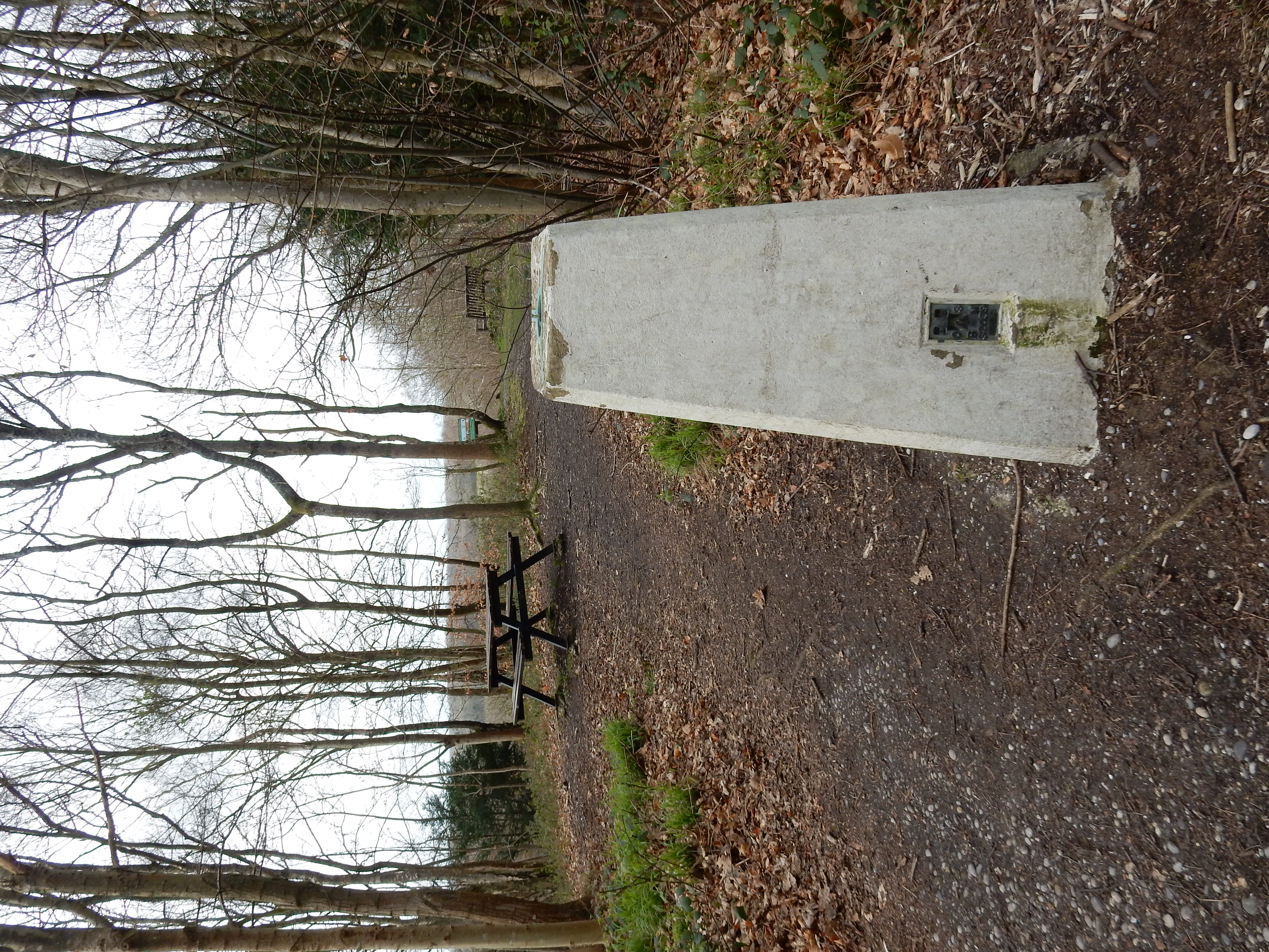
The Cuckoo Song plays loudest through Whitehorse Wood. This features a large number of 'permissive paths' which, don't we know it, aren't permitted for ever and a day. They have either become disused and overgrown, or else put beyond use by forestry operations. The helpful, yellow 'acorn' way-markers that you have been following for the past nine miles now disappear like dew in the morn'. You fall back on GPS and deliver its battery the coup de grâce.[5] Even when you do manage to reach White Horse Road, don't imagine that you are out of the metaphoric woods. You look for the fork left up to Holly Hill but observe only this. See the footpath? No, me neither. I overshoot by ¼ mile. In the next field, this alleged Pubic Right of Way is contradicted by an electric fence. Has the OS an ulterior motive, in cutting this corner? Near the summit of Holly Hill is a triangulation pillar at 196 metres. Pause to regain breath and take a photo before descending the hill to rejoin the NDW. That's better.
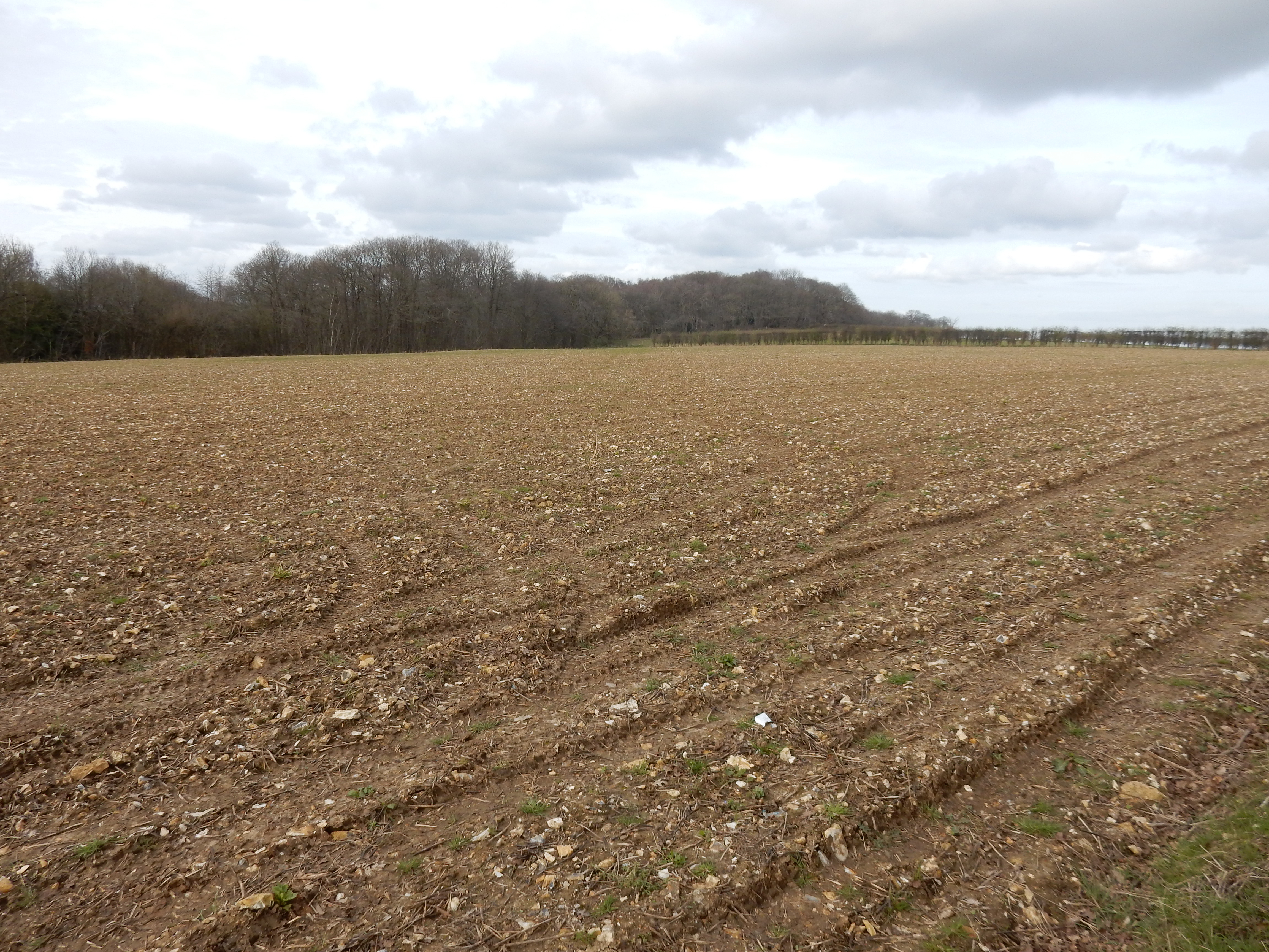
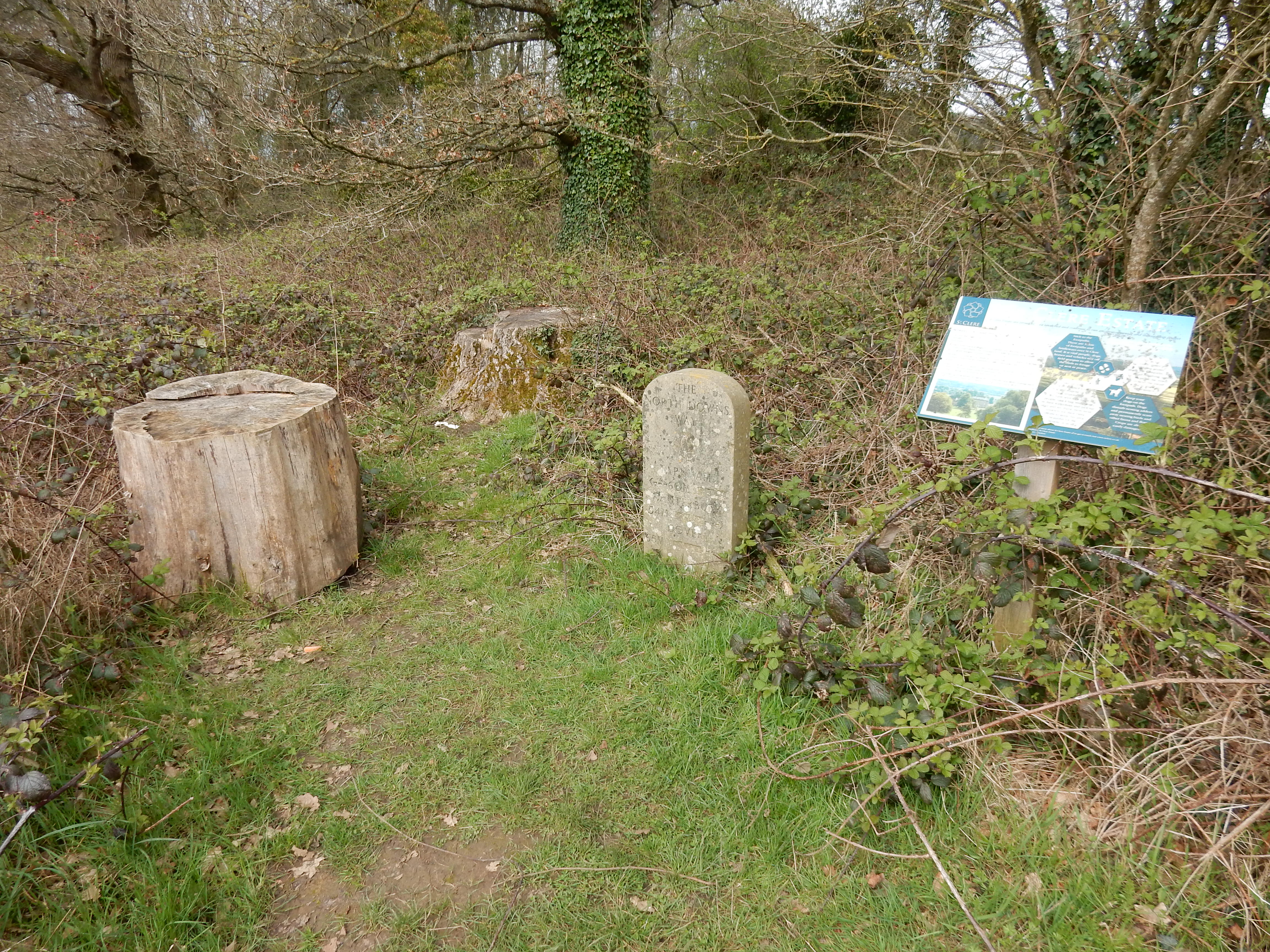
Well, it's mostly flat BLA northwards through GreatPark Wood. Keep an eye out for a metal stile on your right. This curious arrangement is the first so fabricated that I have encounted. It accords, I suppose, with the two bar steel fence there. Maybe it was put in at the inauguration of the NDW in '78. I'd rather the money had been spent improving the field drainage because March mud is extensive hereafter. Most of the three miles remaining on the walk are better going, albeit through woodland so thick that you can't tell where you are.
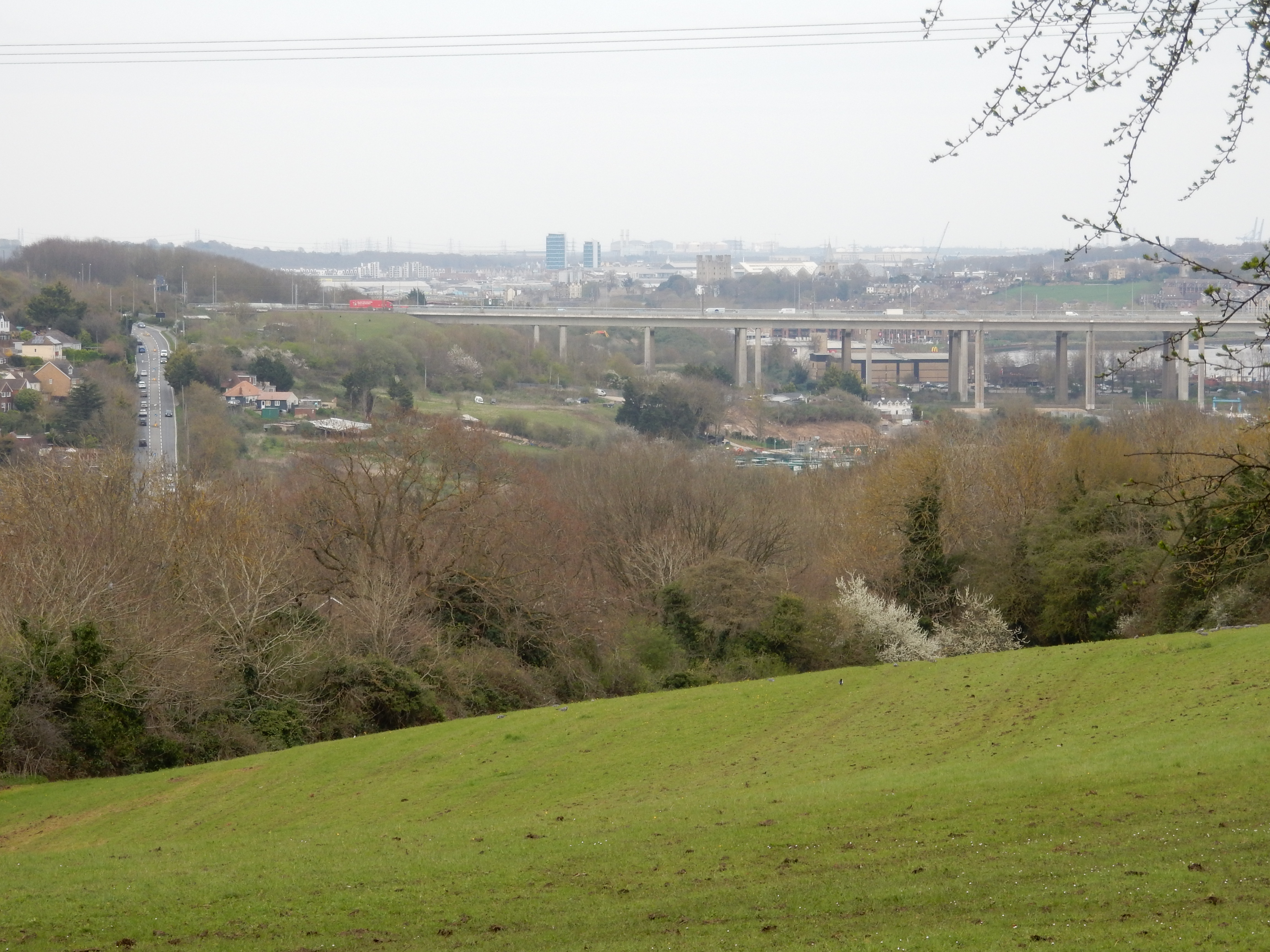
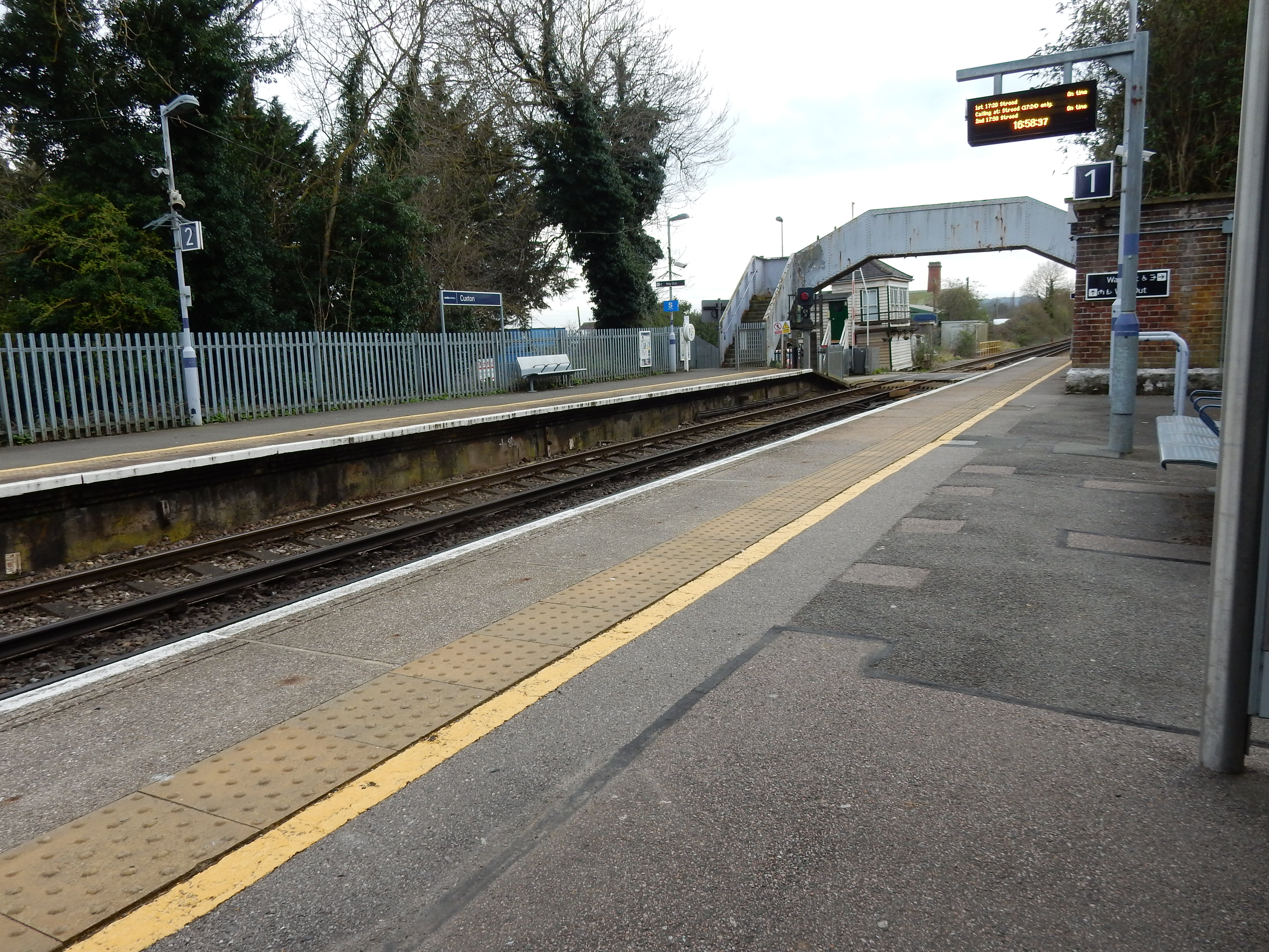
It's quite normal for my walks to start and finish with suburbia (around rail stations, you understand). Towards the end of this trek at 51.371,0.448107, however, the transition from shady sylvan slopes, without so much as a brick in sight, to this vista, was so sudden as to entail a pause for some minutes. We're looking at the bridge carrying the M2 across the River Medway. Just above that is Rochester Castle.[6] Rising toward the bridge, on the left, Sundridge Hill (A228). This also carries Section 7 of the NDW, which I shall be walking at a later date this year. I am dissuaded from remaining longer here by the strengthening breeze sweeping up towards me across the open field. The temperature, which had barely reached double figures at noon, now drops again. My spirits follow suit as I miss the train at Cuxton by two minutes. A search for an adequately heated departure lounge at Cuxton is quickly proven negative, so I wait half an hour with frozen extremities for the first of four trains required for a return home from the back of beyond.