Parametric data
- Route name:
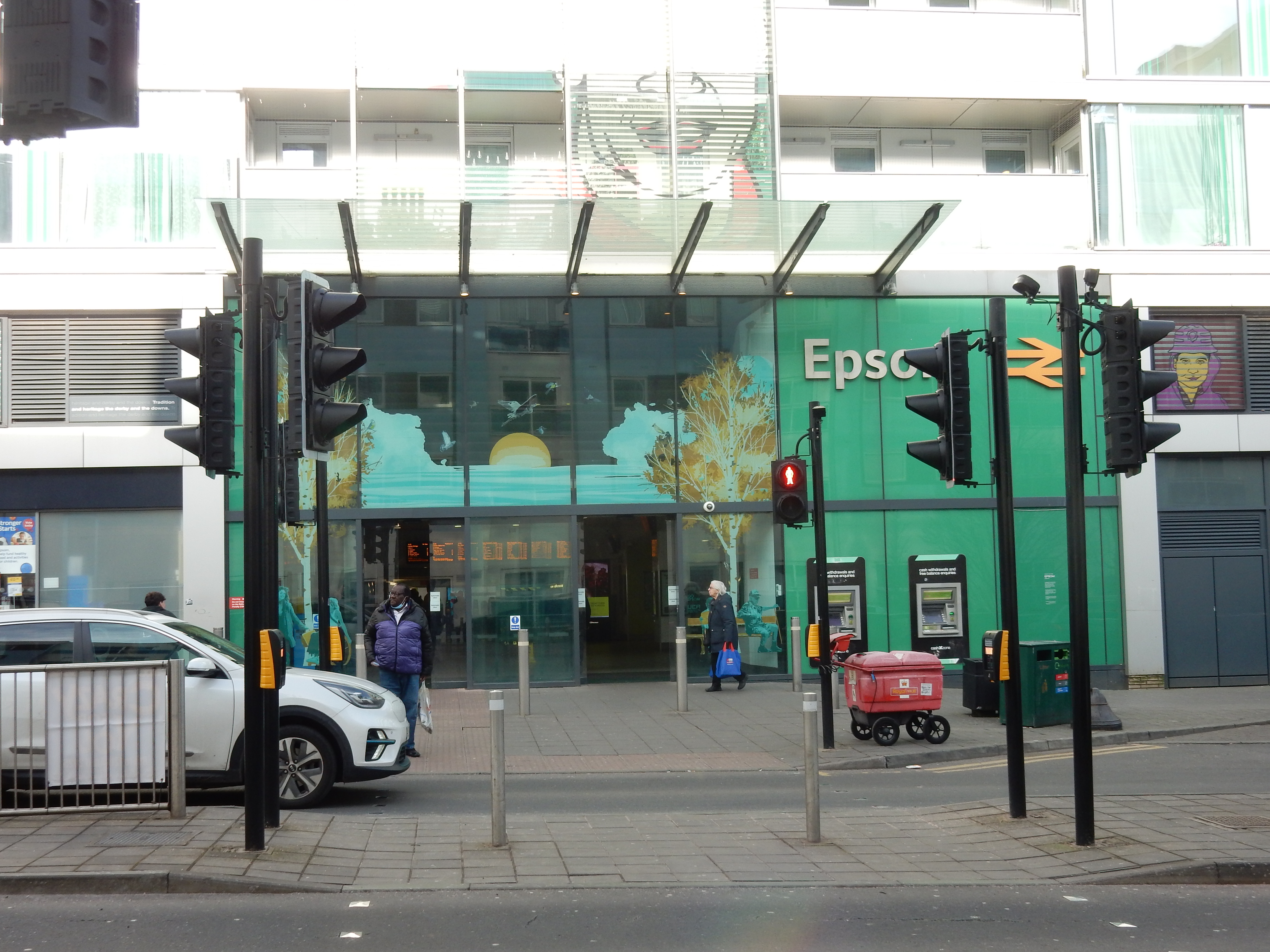
- Epsom
- Start point:
- Epsom.
- End point:
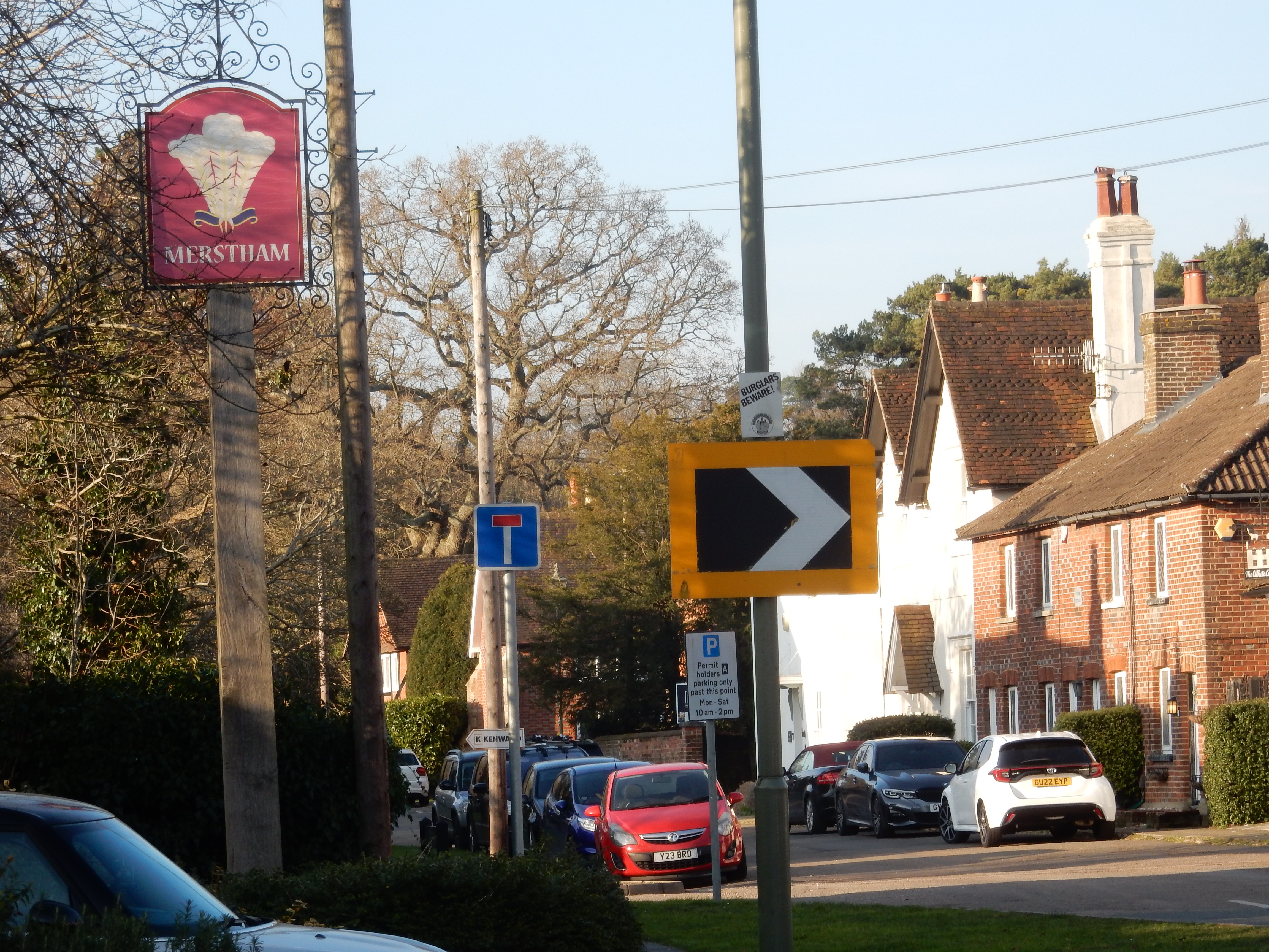
- Merstham.
- This route on OS maps:
- https://explore.osmaps.com/route/25132708/ ...
- OS Explorer sheet ref(s):
- 146 and 161.
- Distance:
- 8.9 miles walked, 7.1 miles flown.
- :
- 3.9 hours.[1]
- Ascent:
- 248 metres.
- Stiles:
- 4 (over Kingswood Hill).
- Landmark of note:
- Epsom Downs Racecourse.
- Feasible excursion:
- Original, north easterly route.
- Waypoints:
- Tattenham, Tadworth, Langley Vale, Kingswood, Gatton, Reigate Hill.
- Fuel:
- Coffee + muffin from Starbucks, Epsom.
-
: -
 2°C,[2] 🌤️
... and a stiff breeze to go with that 🥶
2°C,[2] 🌤️
... and a stiff breeze to go with that 🥶
-
Avoiding roads: -
I suppose
Chalk Lane
counts as a public road, but it is really just a big
driveway. 130 metres of High Road, Upper Gatton. Fair bit of
traffic,
though.[3]
-
Footpath construction: -
 Banstead Heath: all dirt. From Grub Wood to the M25, ditto.
-
Footpath condition: -
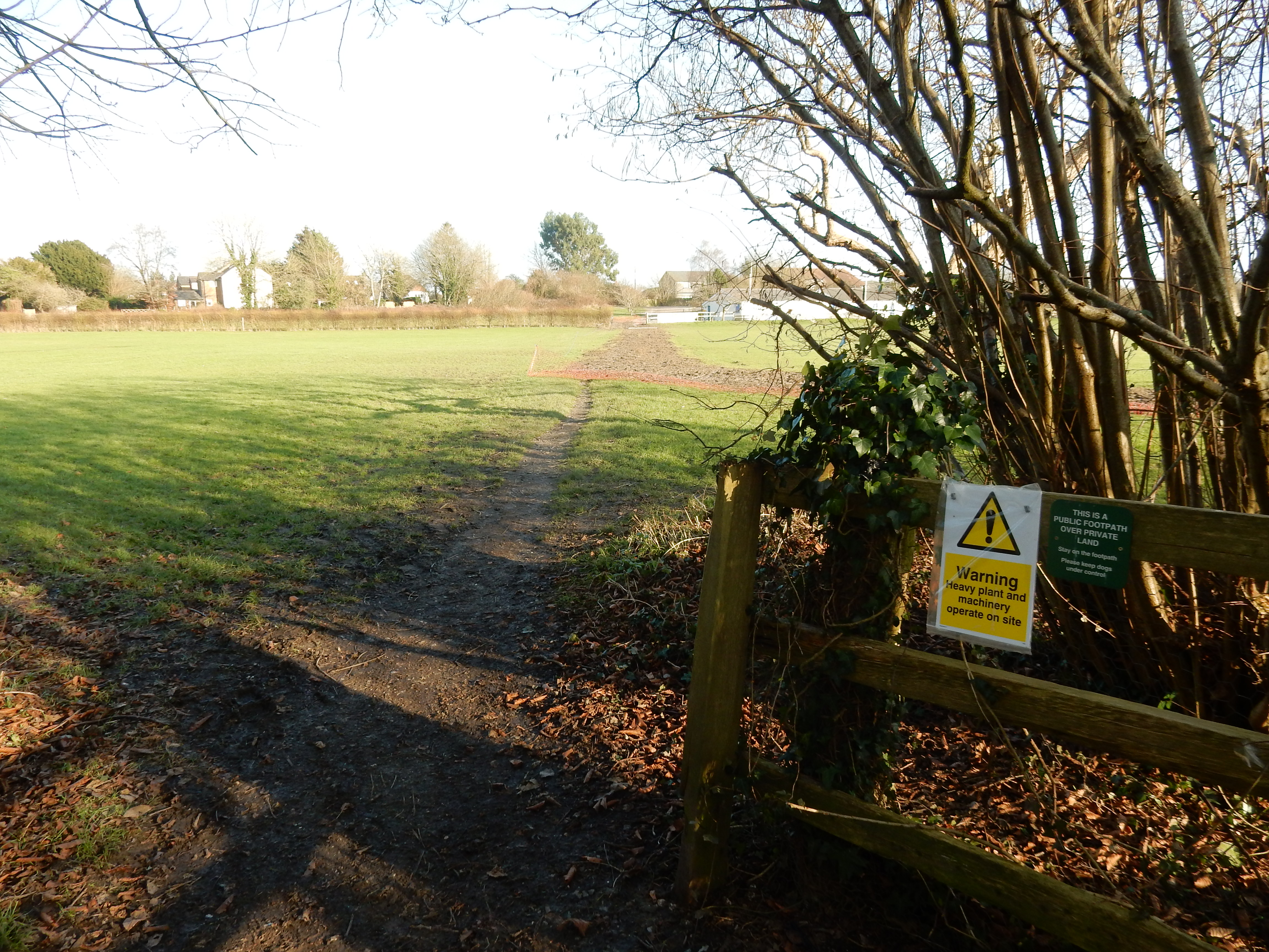
Past Grub Wood - a quagmire. The route parallel to the M25
has been ploughed up.
-
Vistas: -
The
racecourse near Tattenham just tops 150 metres.
Blackberries:-
 Not for another six months.[4]
Route map.
Walk notes.
A number of incidents across the network today are causing
major disruption to Great Northern and Thameslink
services.
Well, it's February. What do I expect? Signalling faults at Blackfriars and a runny nose for the next four hours, that's what. It's still a surprise because I had virtually forgotten the winter. This is my first walk since September, and I've become accustomed to sitting on top of a fan heater all day. Five of the six kilos I put on over Christmas still provide some thermal insulation, but they aren't enough. I dive into Starbucks for some calories.
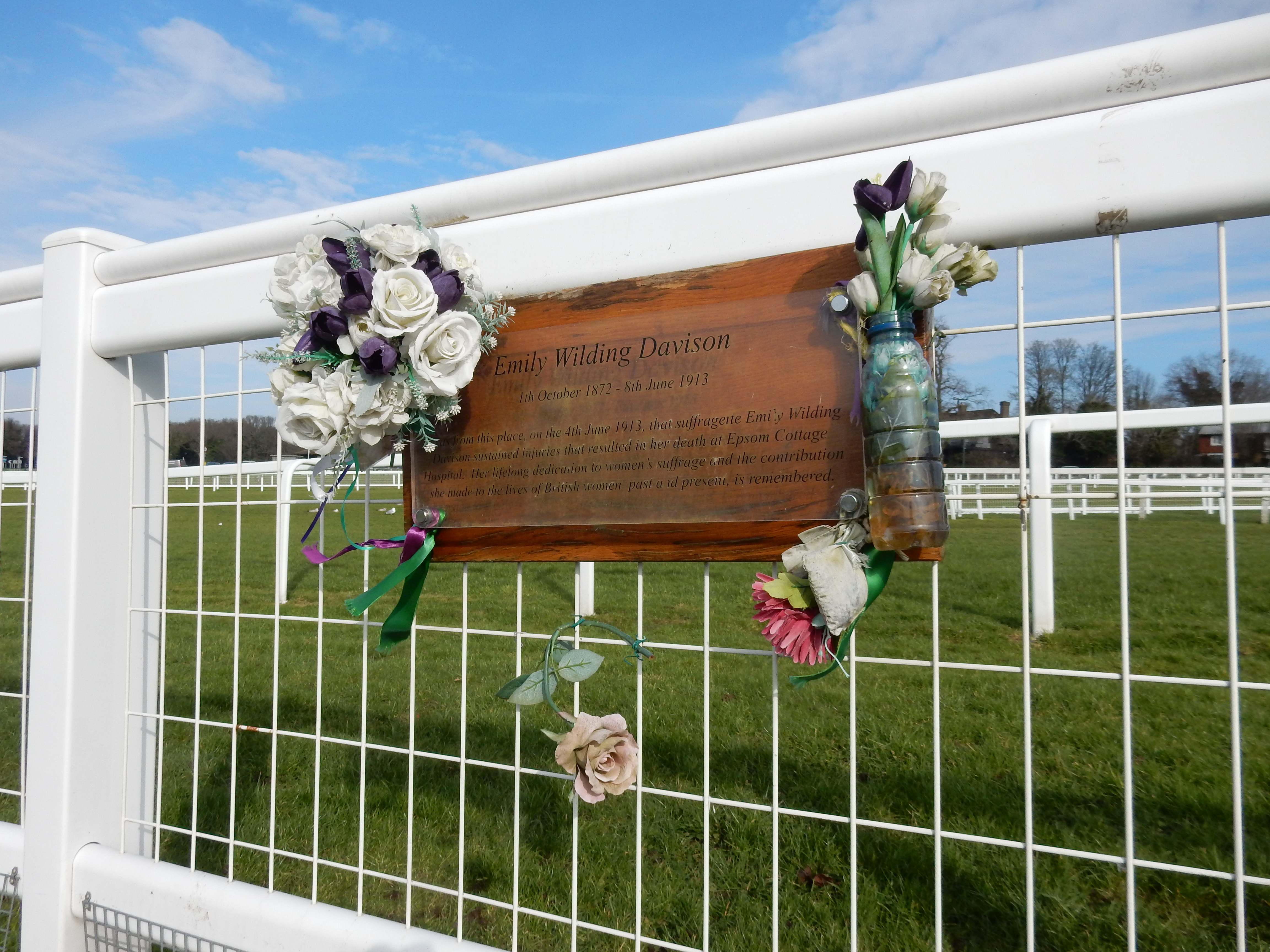
I won't bore you with more excuses for having put my feet up for the last five months, except to mention that I chose Epsom again because it needed only a minor tweak of the route compared to the one I walked in August 2022. That ran ⅔ mile north-east of today's; going left out of the station, along a complex route up to Burgh Heath Road and crossing Kingswood Golf Course. Bit of a pain, frankly. At the time, I did not realise that the racecourse had perfectly valid public rights of way actually crossing it.[5] Seems a bit mad, doesn't it? Alright, there are gates kept shut during race days, but having to avoid The Derby shouldn't put the average two-legged visitor's nose out of joint.[6] Well, Epsom isn't your average racecourse. For one thing, it's not a circuit. Although, technically, a venue for 'flat racing' the gradient leading up to Tattenham is best tackled with mountain goats rather than horses. OTOH, Surrey has no qualms that half of it comprises golf courses scattered along The Downs. Until the 1930s, it did play golf on the level but that was considered so uncharacteristic of the county that they replaced that course with something called 'Gatwick' and then abandoned it to Sussex. No ball here since has run straight.
After a dash across the B290, it's goodbye Epsom, hello Tadworth. Not that you see much of the latter because the footpath follows the rail line's high fencing. At the southern end of the path are a few shops, should you wish to pick up a sandwich or a drink. A bottle of scotch might help negotiation of ¾ mile of tweely named suburbia.[8] The OS chooses a minor route to cross Banstead Heath. I knew this was asking for trouble. Little walking, if any, is saved by avoiding the PRW bridleway. It's not a big problem; you can navigate simply by heading towards the roar of traffic on the A217. Enjoy that serenade at still greater volume for ⅓ mile up to Green Lane. If you had Autobahn on your MP3 before Green Lane then switch to Handel's Water Music as you begin your ascent after Green Lane. While this continues upwards to the exposed walk summit at 190 metres, switch music track again to Vivaldi's Autumn as you are blown over the Downs by a gale from the arctic. Brrr. The route through Home Field Farm is a little complicated. Keep an eye on the GPS, and you should find yourself on a long, straight private drive that comes out onto Upper Gatton High Road; a very odd High Road that has no footway. If you keep a very sharp eye out then you may spot to your left the broken stile at the start of the path leading eastwards over Kingswood Hill and down to Markedge Lane.
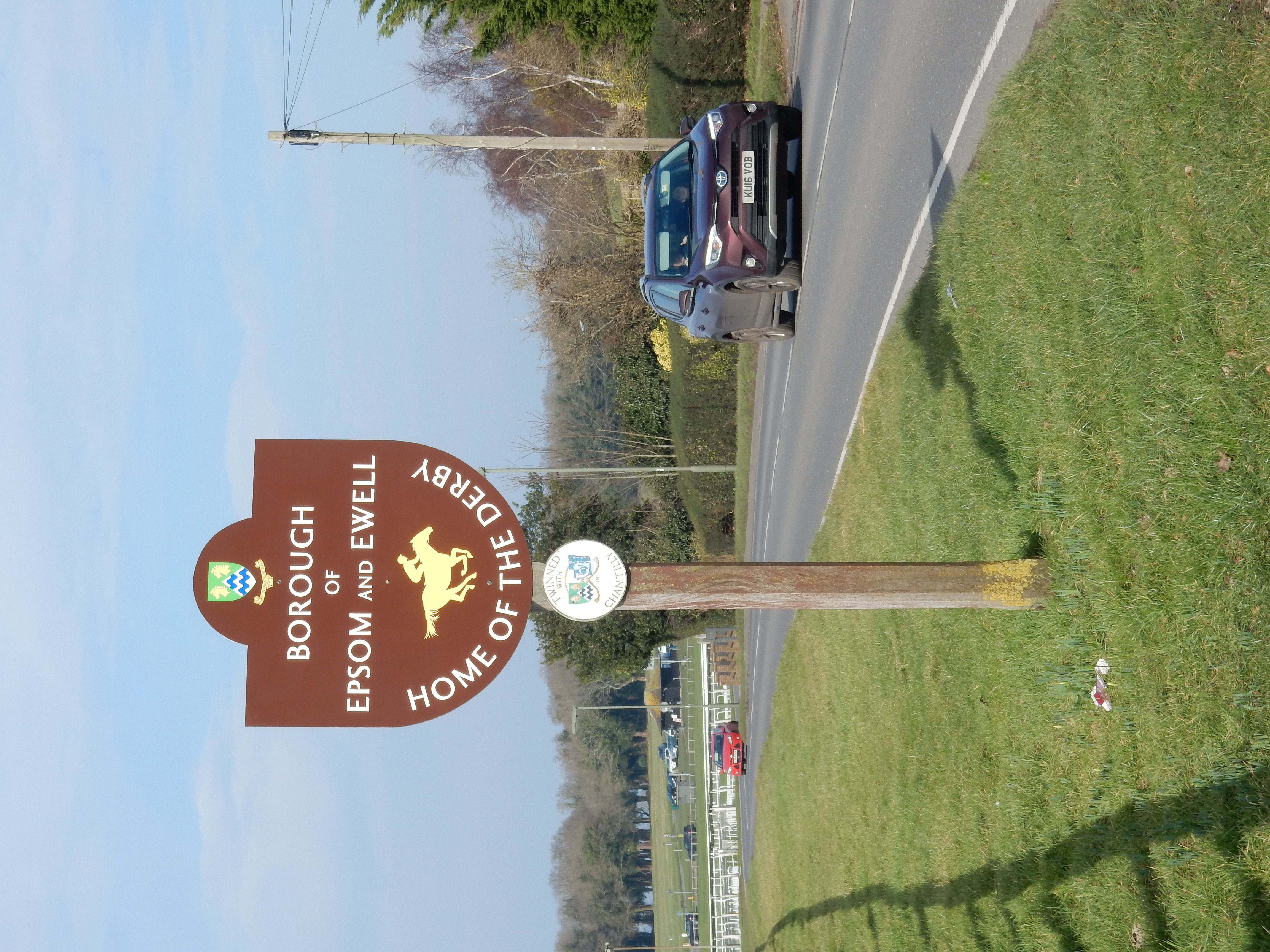

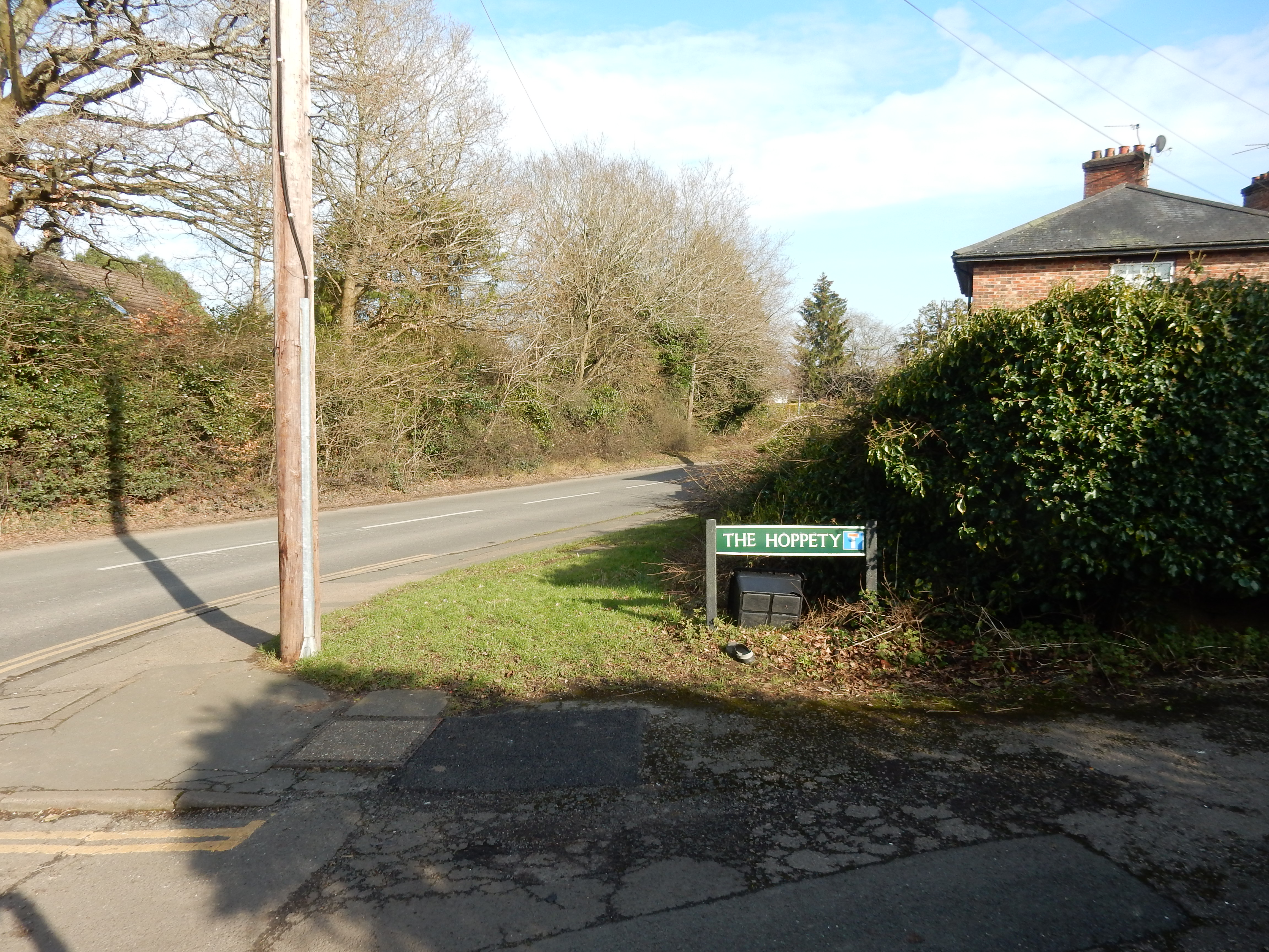

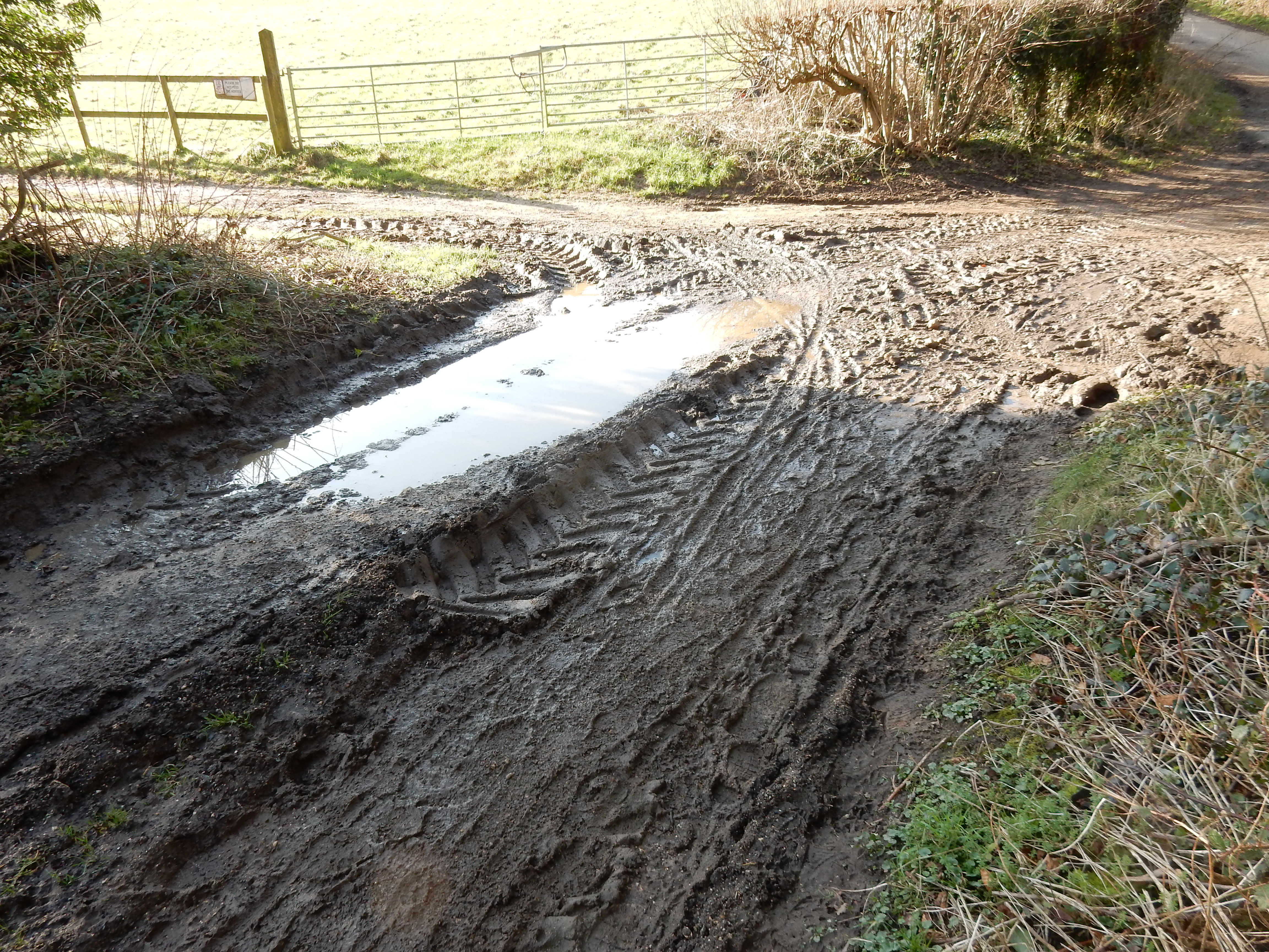
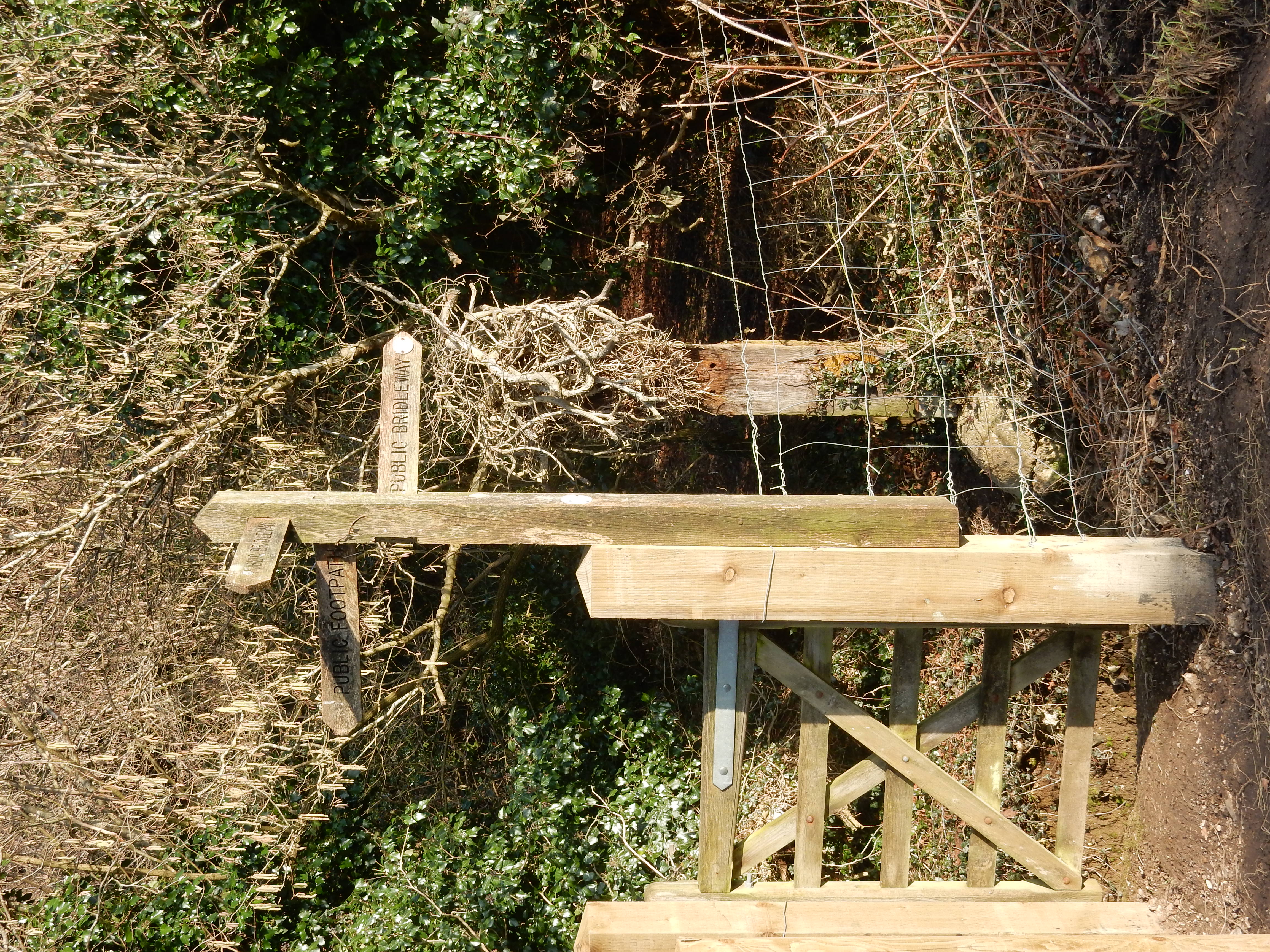
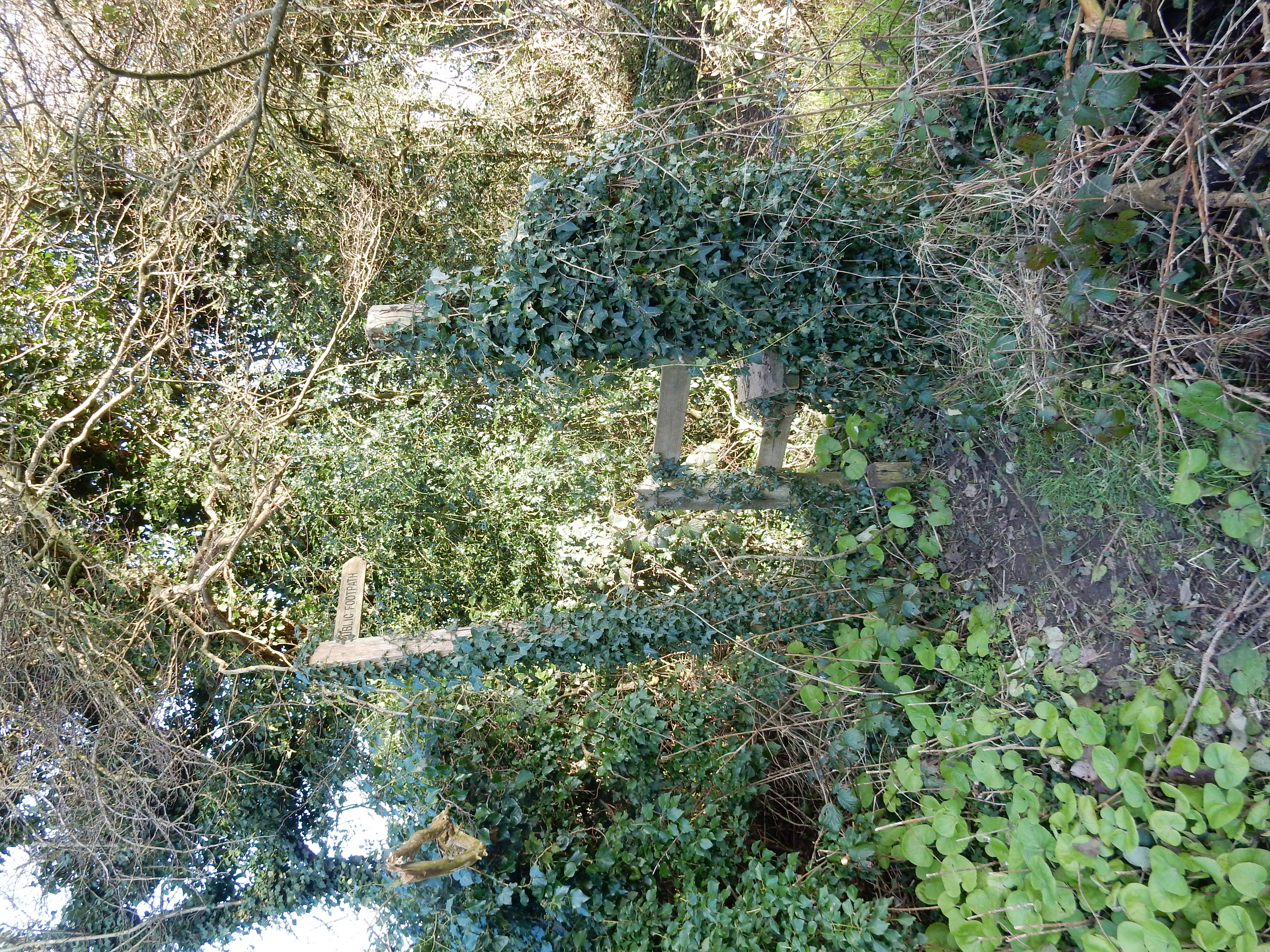
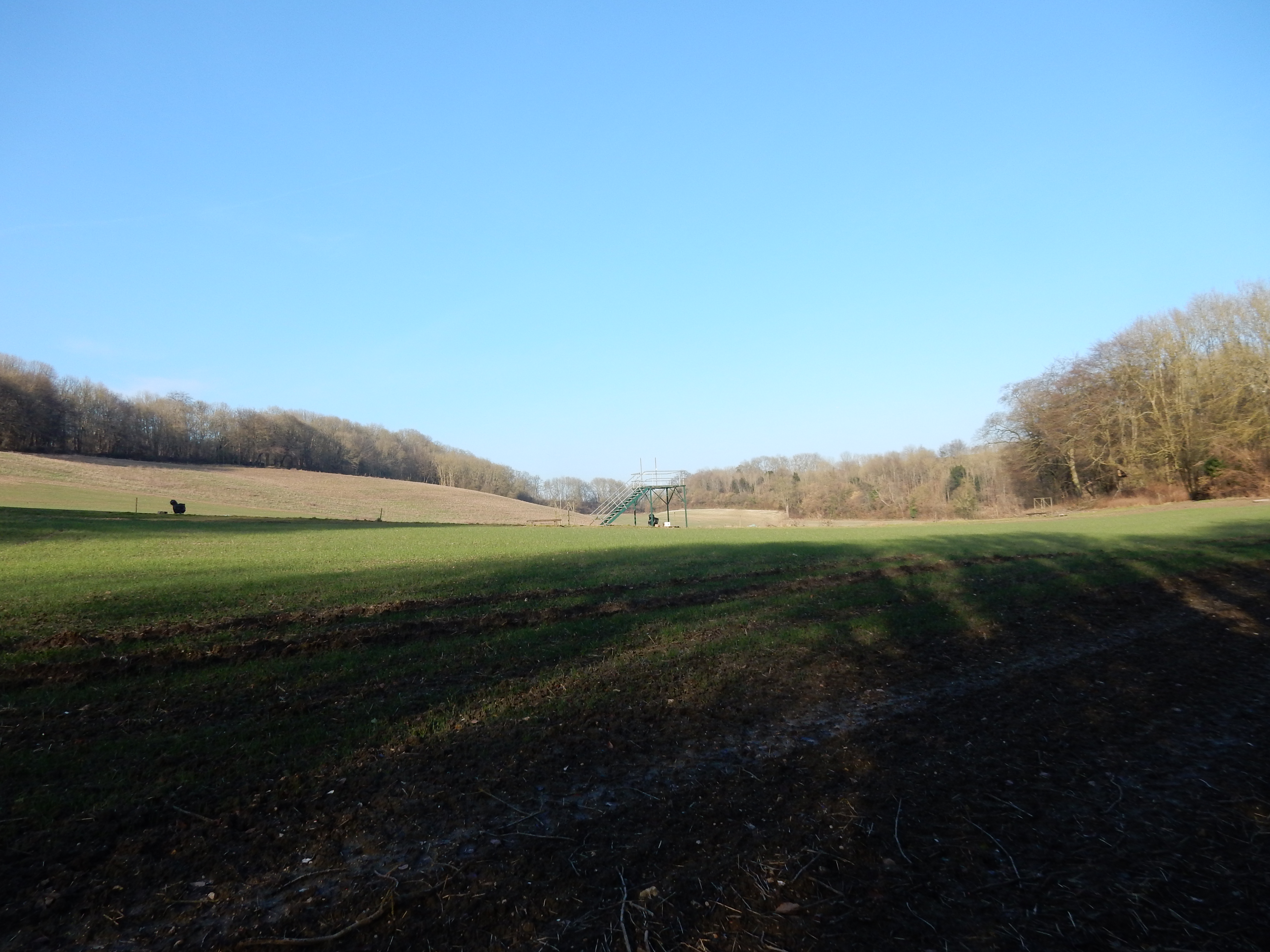
You then have a 140 metre stretch of Gatton Bottom without footway. The verges are good, but the traffic is seriously heavy and fast (it's a feeder for M25 J8). The OS suggests that you turn into the driveway at the golf course. Actually, the PRW begins fifty metres further east. Ascend to the top of the ridge and then turn left onto the Pilgrims' Way to begin your descent towards Merstham. Those more courageous than me can pause first to admire the view along The Downs towards Godstone. Pilgrims using GPS will note that their elevation reaches a minimum as they leave the golf course and cross a small stream into the cricket ground. It is noticeably more muddy here but the remedial works attempted appear to have stalled, and the route has become more of a quagmire than appropriate during a match. On leaving the cricket ground,[9] you have almost reached your destination. Call in at The Feathers for a well earned pint, why not?[10]