

Parametric data
- Route name:
- Farnham
- Start point:
- Farnham.
- End point:
- Guildford.
- This route on OS maps:
- https://explore.osmaps.com/route/18656463/ ...
- OS Explorer sheet ref(s):
- 145.
- Distance:
- 11.7 miles walked, 9.5 miles flown.
- Duration :
- 4.6 hours.[1]
- Ascent:
- 269 metres.
- Stiles:
- 0 (zero).
- Landmark of note:
- Towers.
- Feasible excursion:
- West to the Princess Royal.
- Waypoints:
- Compton (Waverley), Moor Park, Runfold, The Sands,[2] Binton, Seale, Lascombe, Puttenham, Compton (Guildford).
- Refreshments:
- Coffee, and sandwich lunch, from the kiosk at Guildford.
-
Weather: -
 17°C,[3] 🌤️
Very pleasant. Coolish breeze.
17°C,[3] 🌤️
Very pleasant. Coolish breeze.
-
Avoiding roads: -
 Some nasty sections near Runfold.
-
Footpath construction: -
 As usual, there is tarmac near the Farnham and Guildford
ends of the route. Otherwise, it is the natural.
Noticeably sandy soils near Seale. Sections of BLA here and
there.
As usual, there is tarmac near the Farnham and Guildford
ends of the route. Otherwise, it is the natural.
Noticeably sandy soils near Seale. Sections of BLA here and
there.
-
Footpath condition: -
Rain of late, but the paths are still dry enough.
-
Vistas: -
This section of the North Downs Way runs largely along the
valley of the R. Wey, so less high ground than sections
further east.
Blackberries:-
 Several stretches are fruitful.[4]
Route map.
Walk notes.

A step in a different direction, this week - metaphorically speaking. For a few years now I have done walks that happened to include sections of the North Downs Way (NDW). Its established reputation as a sort of 'Pilgrim’s Way: the best bits.' I consider justified. Well, why not see if the other parts are as good? So, here I am, then, at the Farnham start to Section 1 of the Trail. This parallels the entire length of the Hog's Back. What excitement awaits as I plod towards the A31? Heading eastwards from here is the better direction because the sun will be behind me after the morning's train ride.[5]
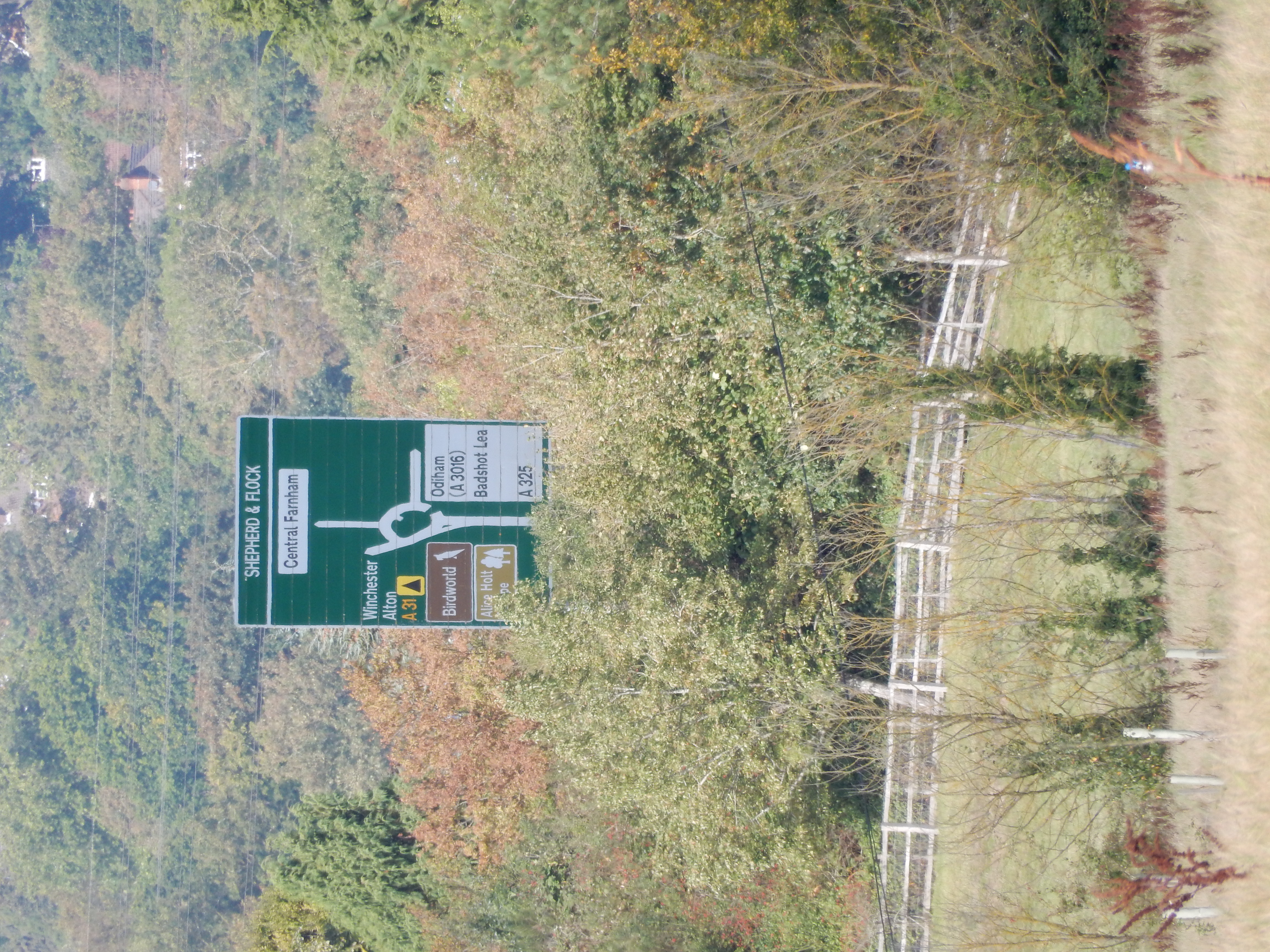
Having made no previous visit to Farnham, my impulse is to compare it with my familiar haunt of old: Guildford, at the eastern end of the Hog's Back. This conurbation appears similar to the latter; only not so cheap. Little wonder that the pilgrim of old so often fell victim to simony; he must have been loaded to have afforded a route like this. I escape from town, before being declared bankrupt, via 160 yards of dual carriageway bringing the A31 past Farnham from the Shepherd and Flock roundabout. Chaucer did not get round to The Waggoner's Tale but, today, one HGV after another roars past my left ear along this stretch; quite likely having passed through my destination, Dover, a couple of hours previously. I hope this isn't one of 'the best bits'.
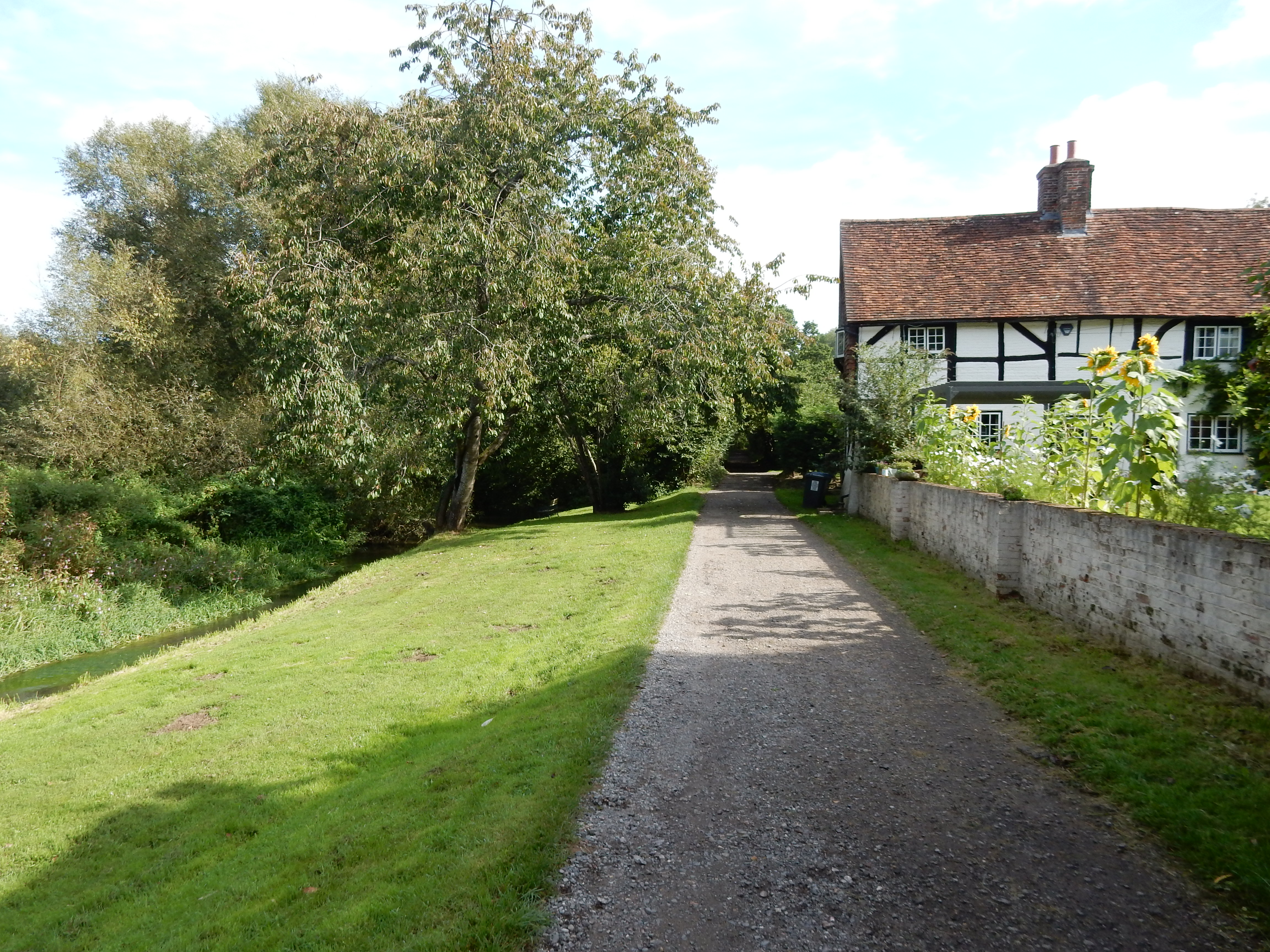
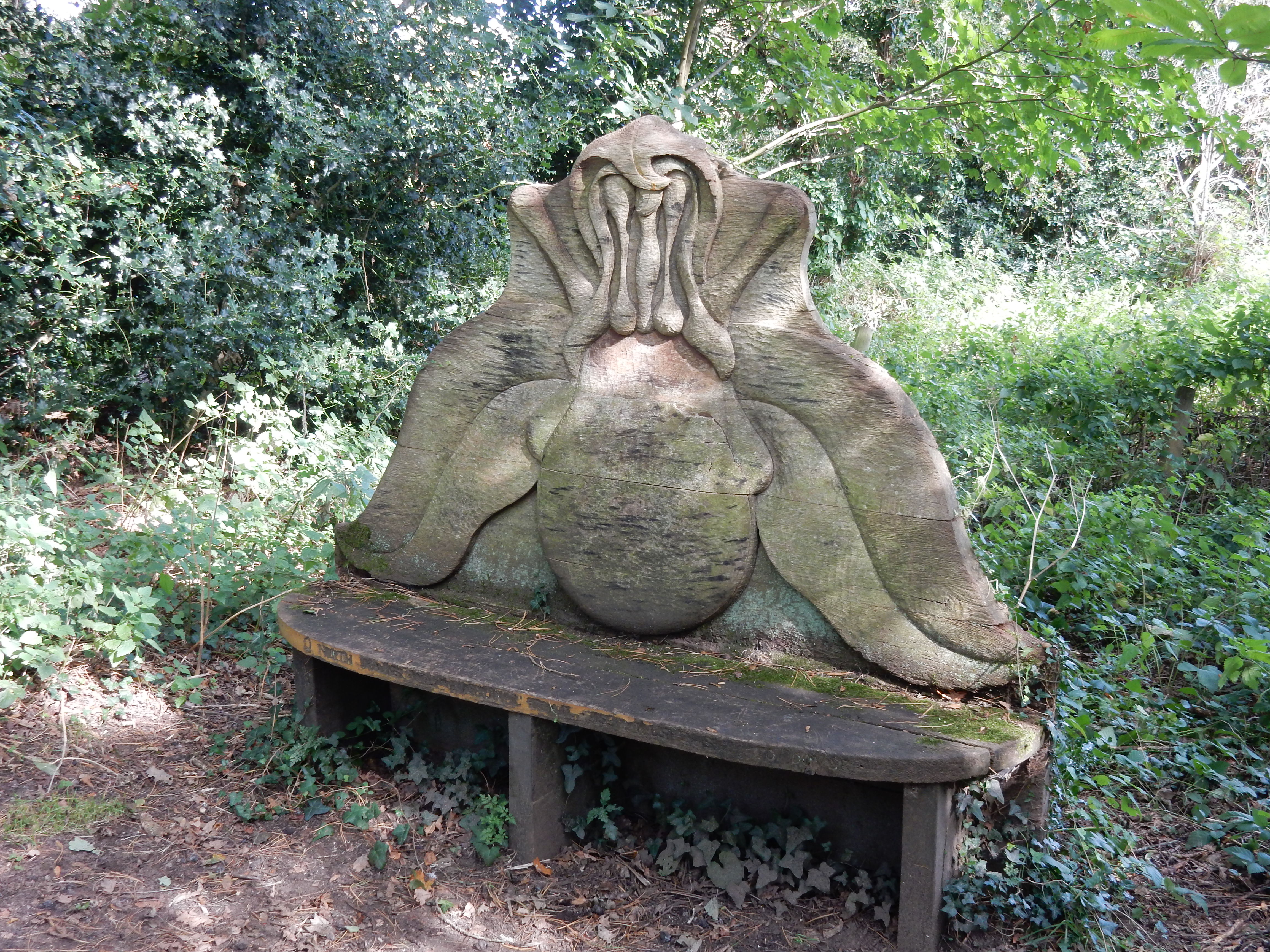
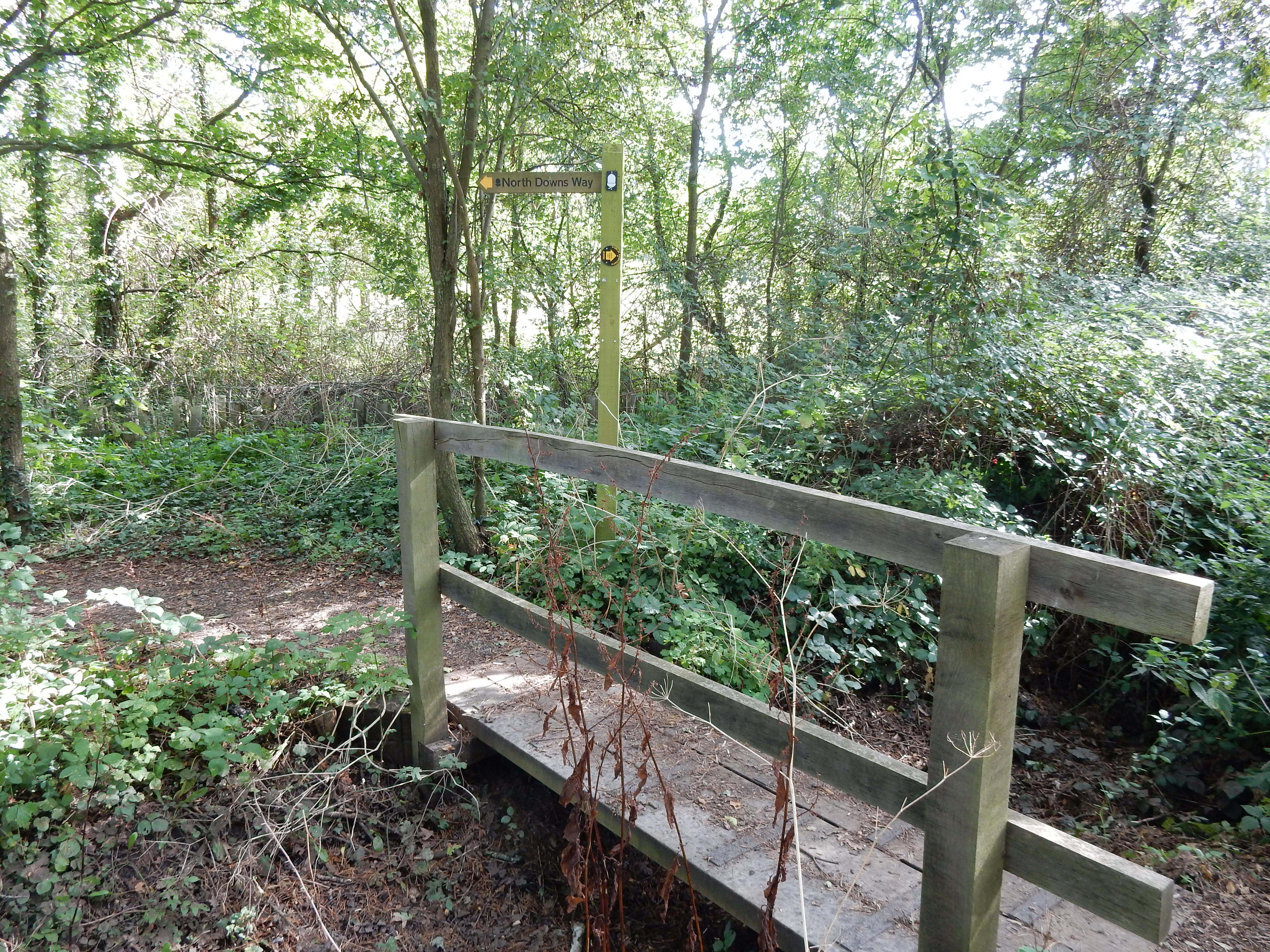
Mercifully, the NDW soon swings southward along the valley of the River Wey. I do not see this uncomfortable looking seat listed at North Downs Way Art Trail and cannot read the inscription. Later in the year, this stretch might become very muddy but, today, the going is wey better. Until the lane leading into Moor Park, at least. This has no footway, but light traffic. Keep an eye open for the left turn off this highway, for you have a decision to make in 50 yards. A notice there advises that the route ahead is temporarily closed to all traffic, including pedestrians. The explanation given is that, for reasons of safety, it cannot pass the landfill site where reclamation works are taking place. A diversion northwards[6] avoiding this hazard is suggested, but I don't much care for that. For one thing, it adds ⅔ of a mile to the walk. Much of that distance is along very busy minor roads without a footway (a quite definite hazard, IMHO).[7] As the diversion passes the reclamation area I see a number of expensive looking earth-moving vehicles - all idle, and posing no threat to anyone. Then, the NDW route around Runfold Wood is not physically closed or taped off. Do you take a chance and walk it anyway, or play safe?[8]
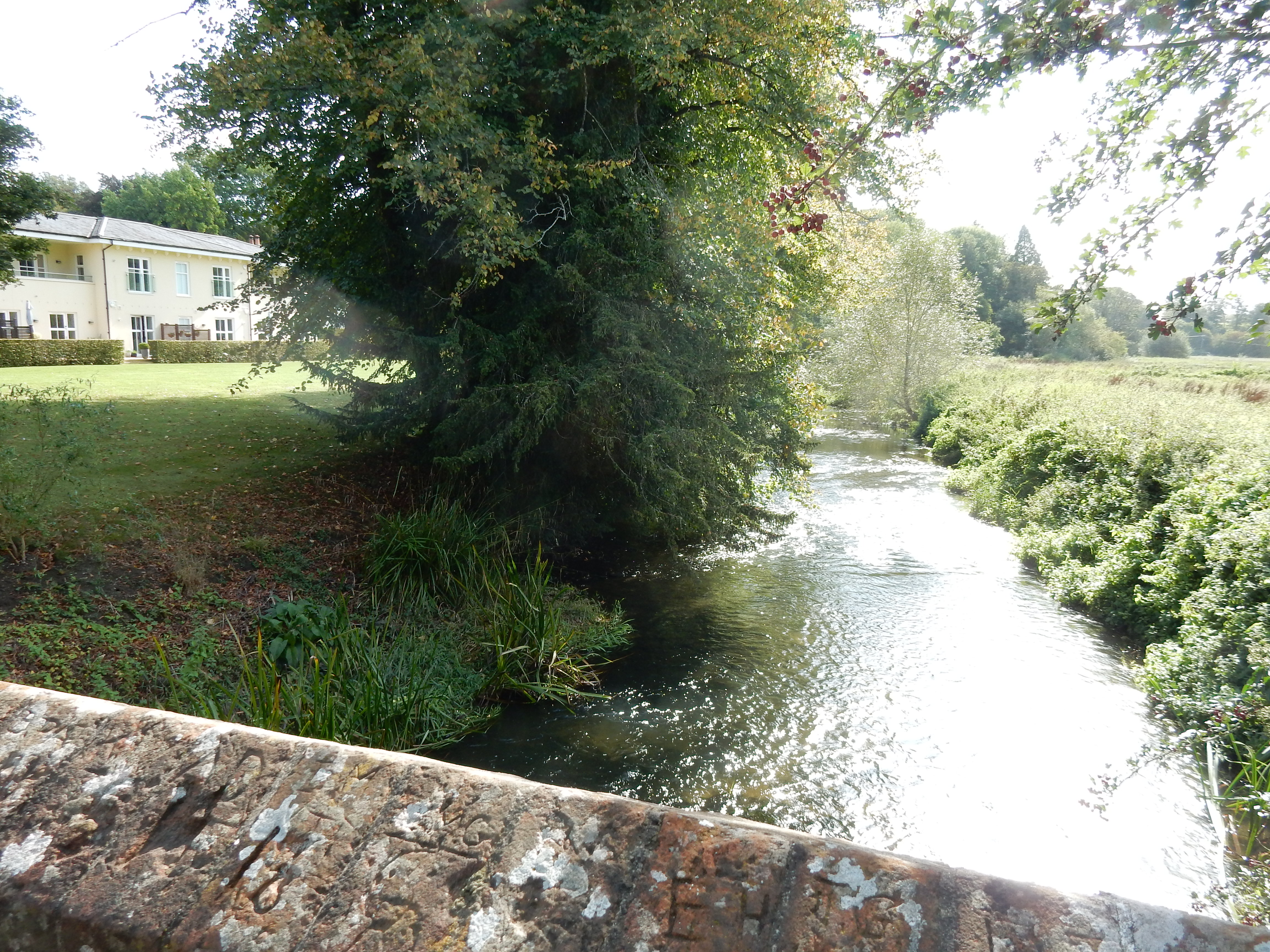
And made forward erly for to ryse,
To take oure
wey
ther as I yow devyse.
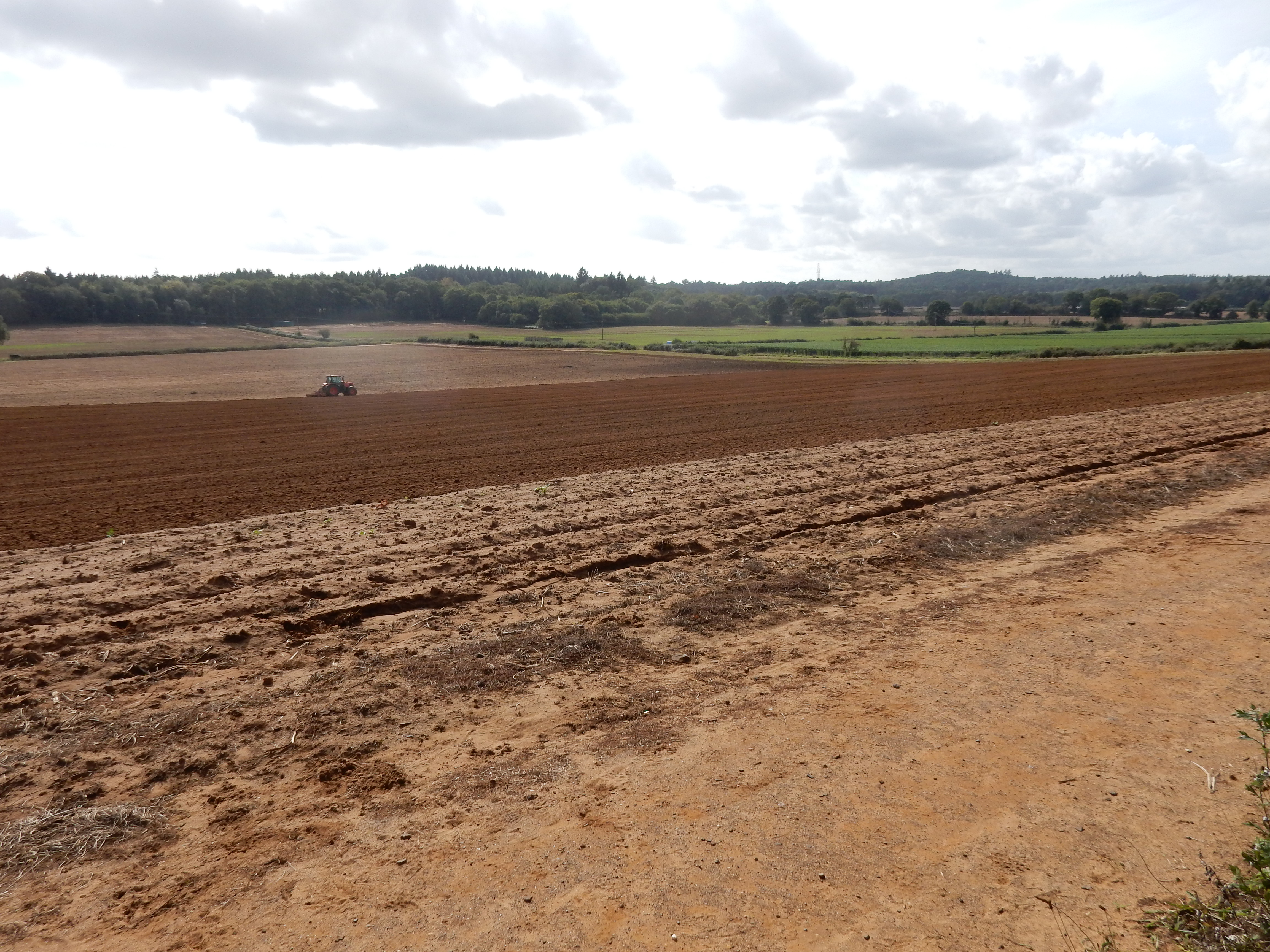
I rejoin the NDW in Sands Road which I survive (just) and take refuge in the route around Farnham Golf Club. At Binton Farm is a most convenient seat for lunch, to wait for my legs to stop trembling, to admire a fine view, to watch the plow tackle the very sandy soil there, and to read about raspberries 😋

The NDW then starts to ascend the hills between Seale and Puttenham. All quite peaceful, picturesque and easy. The claim by The Good Intent that it is '... surrounded by wonderful walking routes,' is by no means hyperbole. Lunch there, next year, but not golf - any year. This is actually only the second and last course of the route; it just feels more. Why you put one where there is hardly a yard of fairway on the flat, I cannot fathom.[9]
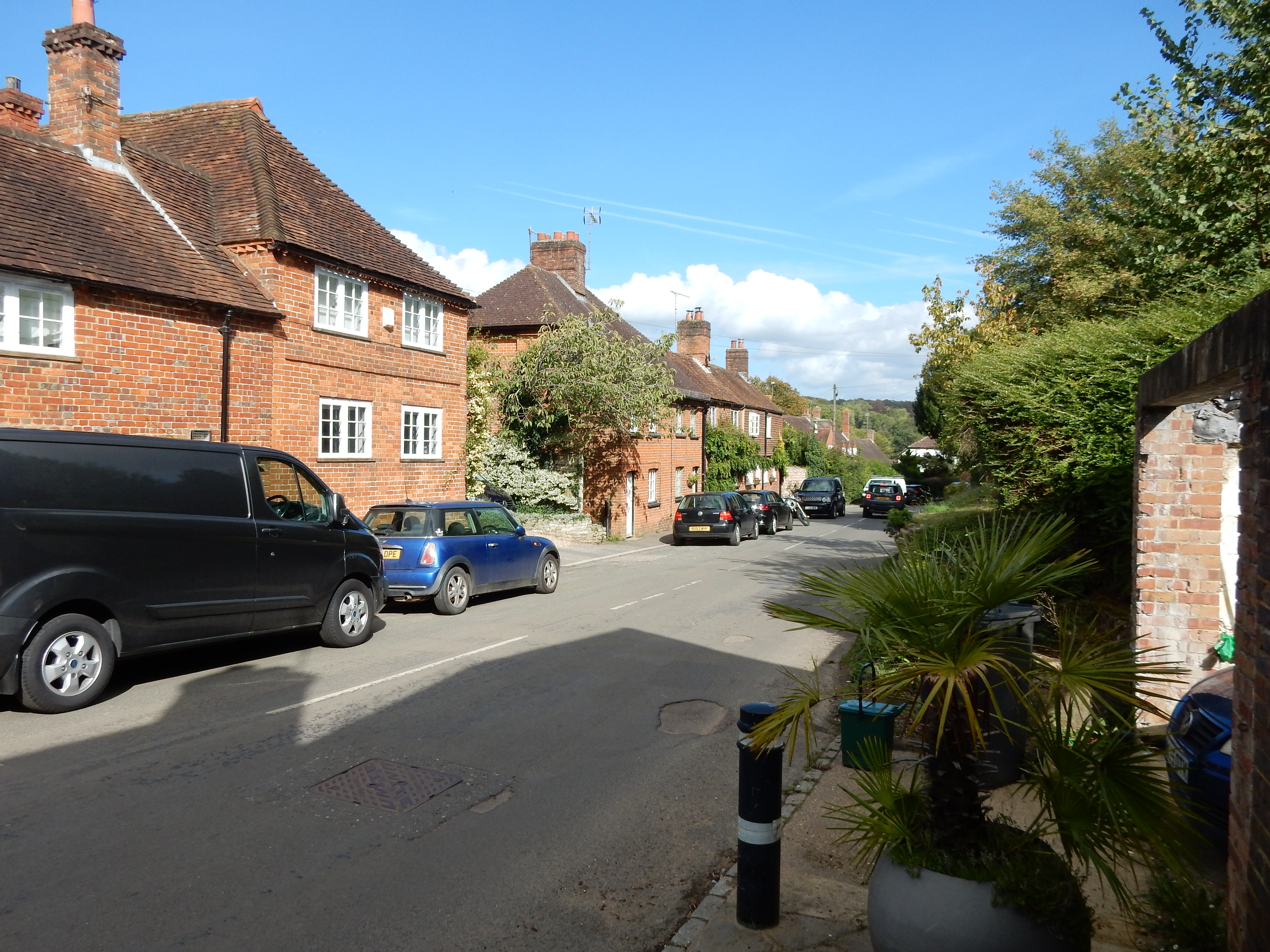
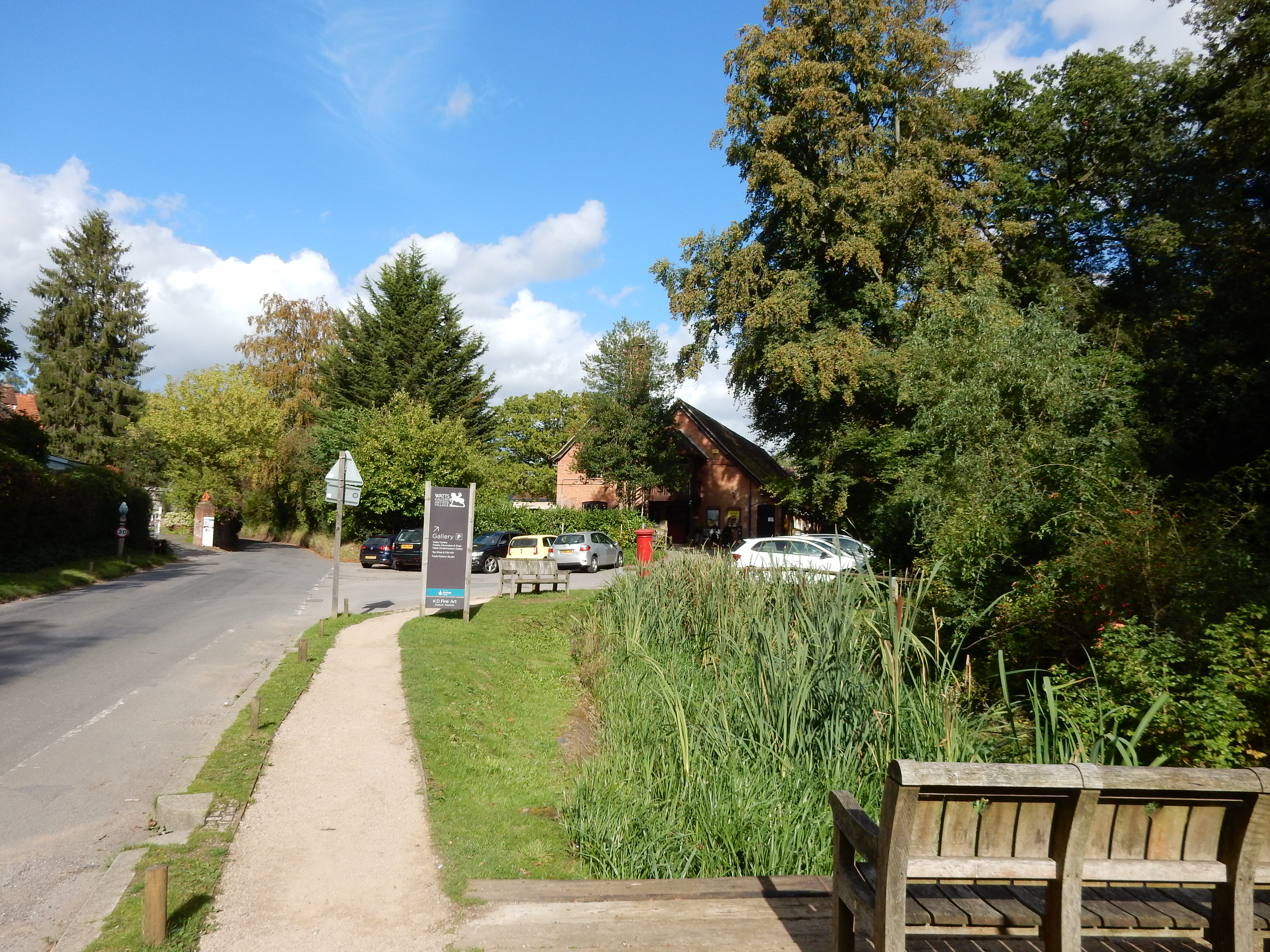
Next up: Compton (the real one), a crossing under the A3, and The Watts Gallery. This last I intend to visit someday. The Victorians, it strikes me, may not have known much about Art, but they knew what they liked. Gt2 uncle William once attempted an 'upgrade' to the Saxon architecture of the church in Gresham. It is not considered wrecked entirely. The Watts Chapel, by contrast, remains an original design.

At the track leading to Conduit Farm is this spectacle. It is also visible at my once daily exit from the A3. "Welcome to Guildford." is the signal it broadcasts. I know where I am, now.

So that's Section 1 of the NDW ticked off, pretty painlessly. Section 2 I completed in January, with rather more of a push.
Having now (August 2024) completed the whole of the NDW, perhaps this would be a good place to share some thoughts on the route as a whole. Here is an index to the walks comprising my attempt on the NDW.
| NDW Section | Start | Finish |
|---|---|---|
| 1 | Farnham | Guildford |
| 2 | Guildford | Dorking |
| 3 | Dorking | Merstham |
| 4 | Merstham | Oxted |
| 5 | Otford | Oxted |
| 6 | Otford | Cuxton |
| 7 | Cuxton | Detling |
| 8 | Detling | Lenham |
| 9 | Lenham | Wye |
| 12 & 13 | Wye | Canterbury |
| 14 | Canterbury | Shepherdswell |
| 15 | Shepherdswell | Dover |
What of the claim that the NDW requires less walking in roads than does the Pilgrims' Way? Not much doubt that it does, IMHO. There are certainly some lengthy stretches of minor roads that carry little traffic. There are a few (for example, Sands Road on this section) where the traffic is worse. There's even some short bits of A-road that cannot be avoided. A little common sense is still required.

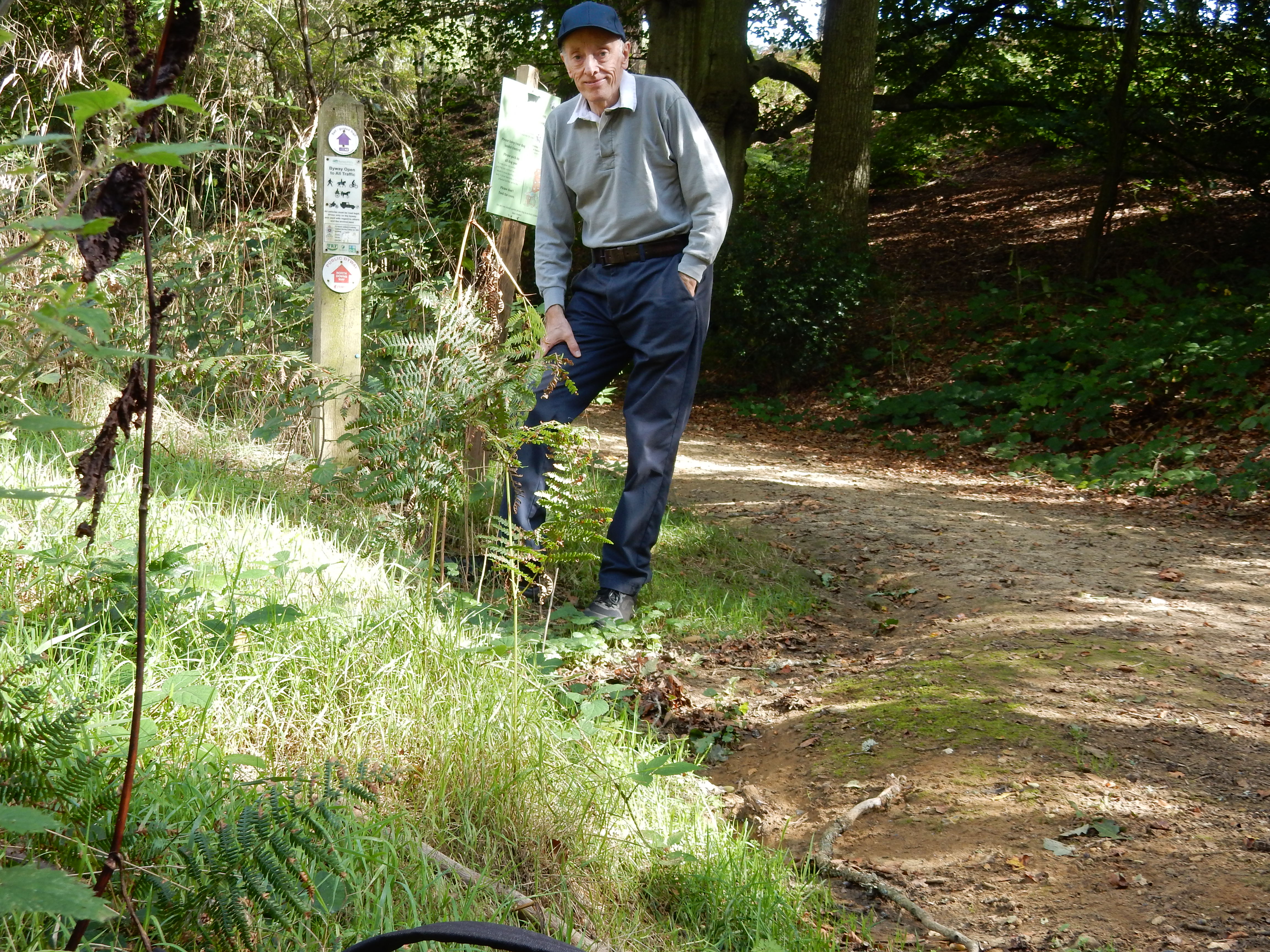
What of the claim that the NDW affords improved views compared with the Pilgrims' Way? I'm never going to attempt the entire Pilgrims' Way, so can give no definitive answer to that question. I can say that, if you walk the NDW expecting to keep the South Downs in sight, without obstruction, then you are in for a disappointment. NDW paths are rarely free of high hedges, woodland, fences, embankments or locally rising ground.[11] At a rough guess, less than 3% affords any prospect more than five miles distant. There are just three specifically OS designated viewpoints ( Box Hill, Colley Hill and Caterham), though other points do deserve honourable mentions.[12]

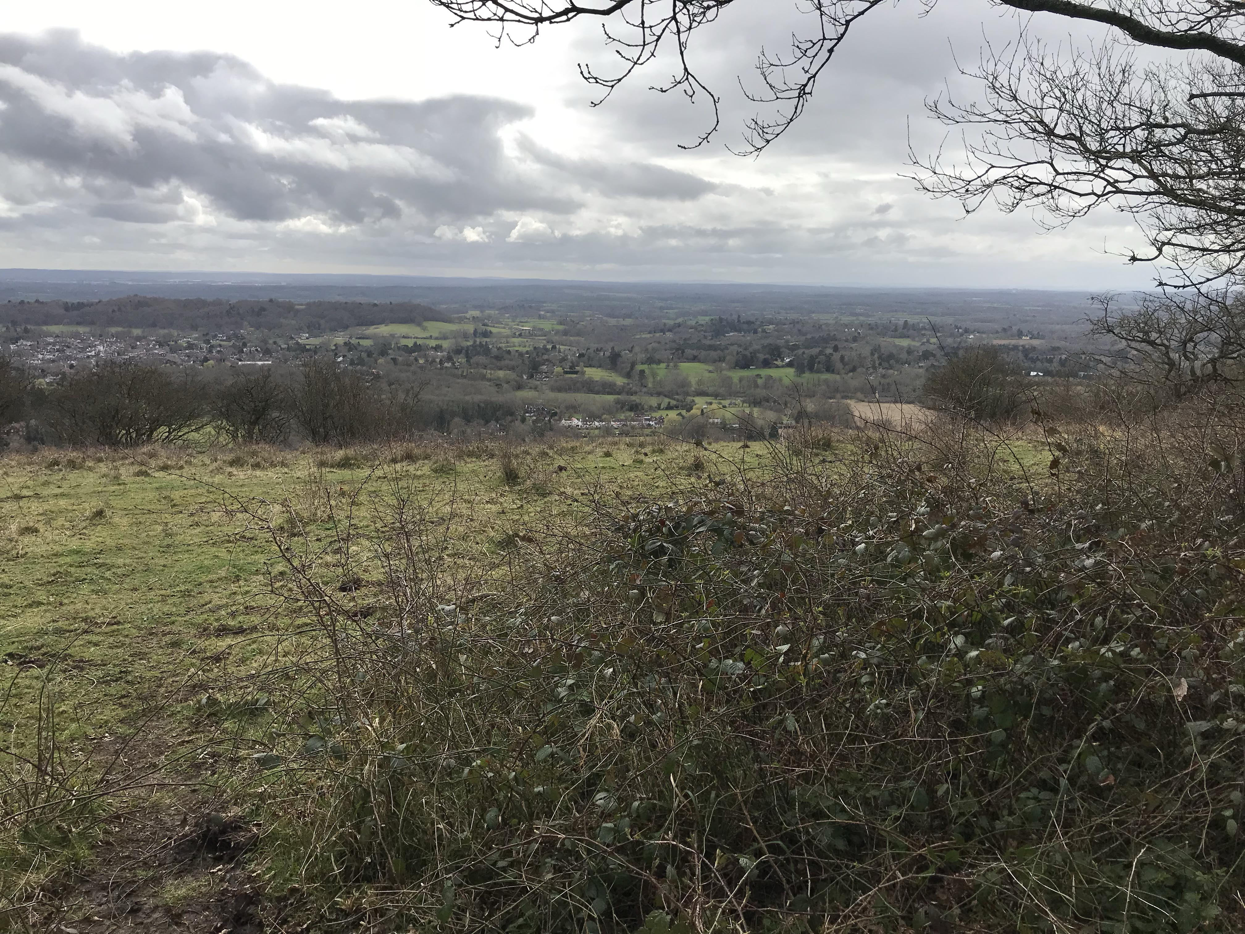

What else favours the NDW? Firstly, if you prefer to walk in winter then you will need to deal with less Weald Clay than is encountered higher up the chalk slopes where the NDW runs. True, the complementary hazard, the DAB, is greatly to be feared. At worst, though, clay seems the greater evil. Only but recently have I discovered 'walking wellies' but, even with their assistance, I would still suffer nightmares about one walk along the Arun Valley. Secondly, the NDW signage (showing the acorn symbol) is generally good. It would be quite feasible to walk most stretches without a map. Would you rather spend all day staring at the GPS or the scenery? Thirdly, the proximity to rail (already mentioned) is really beneficial, if that is your need, too. Several of these smaller stations see just one train per hour, but that's still better than a poke in the eye, isn't it?

I don't really have a stand out favourite section, but Oxted to Otford has nice views, and is spoilt only by the M25&6. Of course, the A3 and the A25 have just stopped their assault on your ears and, later on, you are treated to the M20, the A20 and the A2; so don't think too disparagingly of Section #5.