
Parametric data
- Route name:
- Falmer
- Start point:
- Falmer.
- End point:
- Uckfield.
- Synopsis:
- A medium distance route offering a variety of walking surfaces and scenery. Three miles of A27 roadside, two miles of Lewes outskirts, seven miles along the valley of the Sussex Ouse, the River Uck, and their tributaries. A steep descent into Uckfield. Expect Wealden mud in winter. Currently, three sections prove unwalkable.
- This route on OS maps:
- https://explore.osmaps.com/route/26172559/ ...
- OS Explorer sheet ref(s):
- OL11.
- Distance:
- 13.6 miles walked, 10.9 miles flown.
- :
- 6.9 hours.[1]
- Ascent:
- 207 metres.
- Stiles:
- 9 (near Barcombe).
- Landmark of note:
- The Anchor Inn.
- Feasible excursion:
- Skirt round Lewes to the north.[2]
- Waypoints:
- Lewes, Hamsey, Barcombe, Isfield, Horsted Green, Ridgewood.
- Fuel:
- Coffee from Esso filling station on the A27.[3] Packed lunch at Cowlease Farm.
- :
-
 12°C,[4] 🌥️ A rather grudging three stars.
-
Free of in-road walking: -
 Worth Lane. A no-through road. It's fine.
-
Footpath construction: -
 You're on dirt after the A27. Bits of
BLA.
You're on dirt after the A27. Bits of
BLA.
-
Footpath condition: -
 After Worth Lane until Horsted Pond Lane the path is
unwalkable. See
walk notes.
After Worth Lane until Horsted Pond Lane the path is
unwalkable. See
walk notes.
-
Vistas: -
 Crossing Offham Road, there is a
view
northwards towards the North Downs. Just visible, one
mile away, is Old St Peter's church, Hamsey.
Crossing Offham Road, there is a
view
northwards towards the North Downs. Just visible, one
mile away, is Old St Peter's church, Hamsey.
Blackberries:-
A few to be found along the Ouse valley, later in the
year.[5]
Route map.
Walk notes.
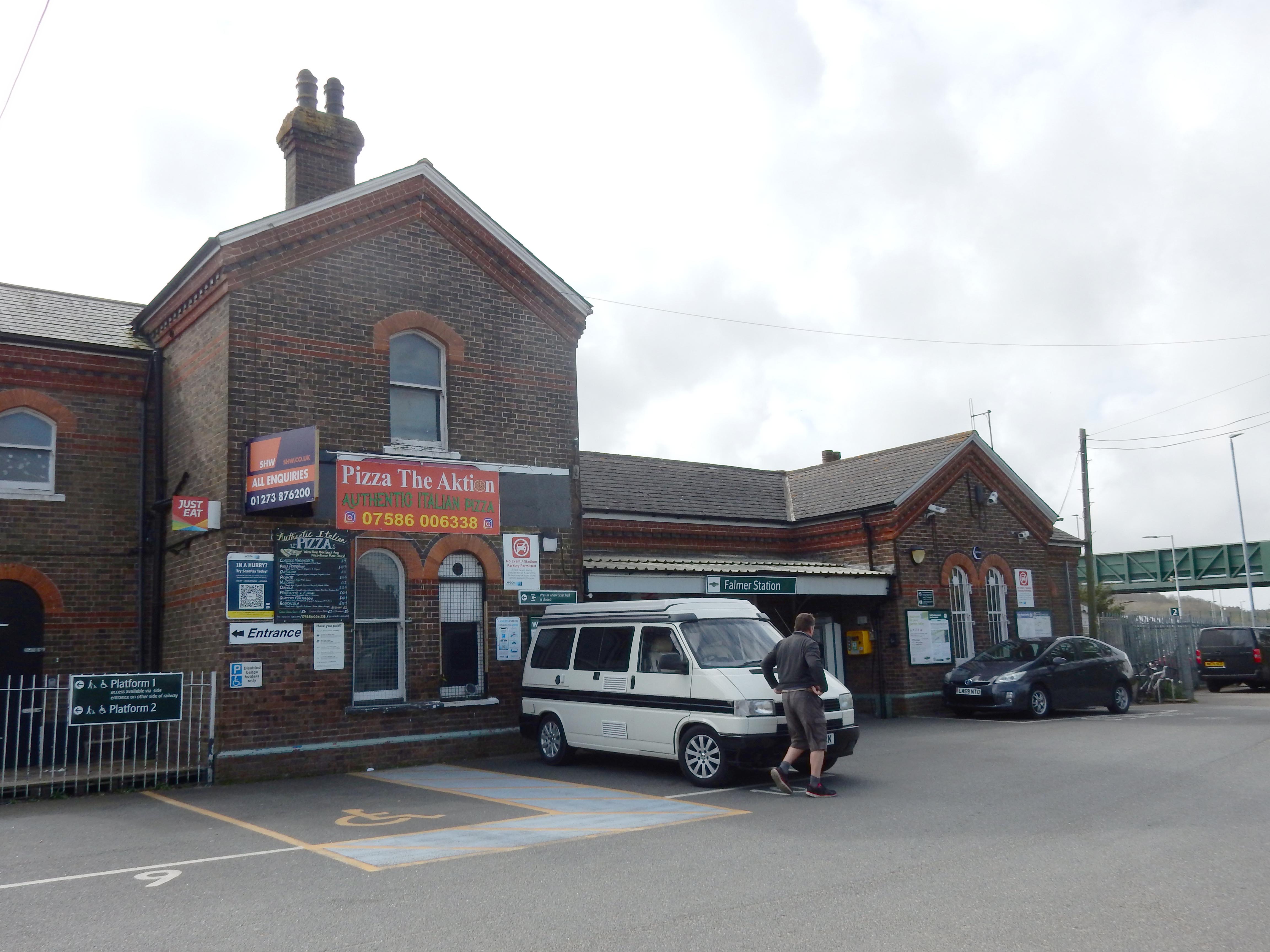
This walk was hastily planned so, as ever, it's not worth anyone's while repeating (exactly). I fancy, though, that a few tweaks might make it so. I may have time to try them out later in 2025. Stay tuned.Falmer is not a place familiar to me. It lies rather out of the way, at the eastern edge of Brighton, and 4½ miles west of Lewes TC, straddling the A27, and I reach it only after 11:00. An underpass takes you some way into the University of Sussex campus but, if the groundsman isn't looking, then turn up the bank on your right to shortcut the annoying loop.
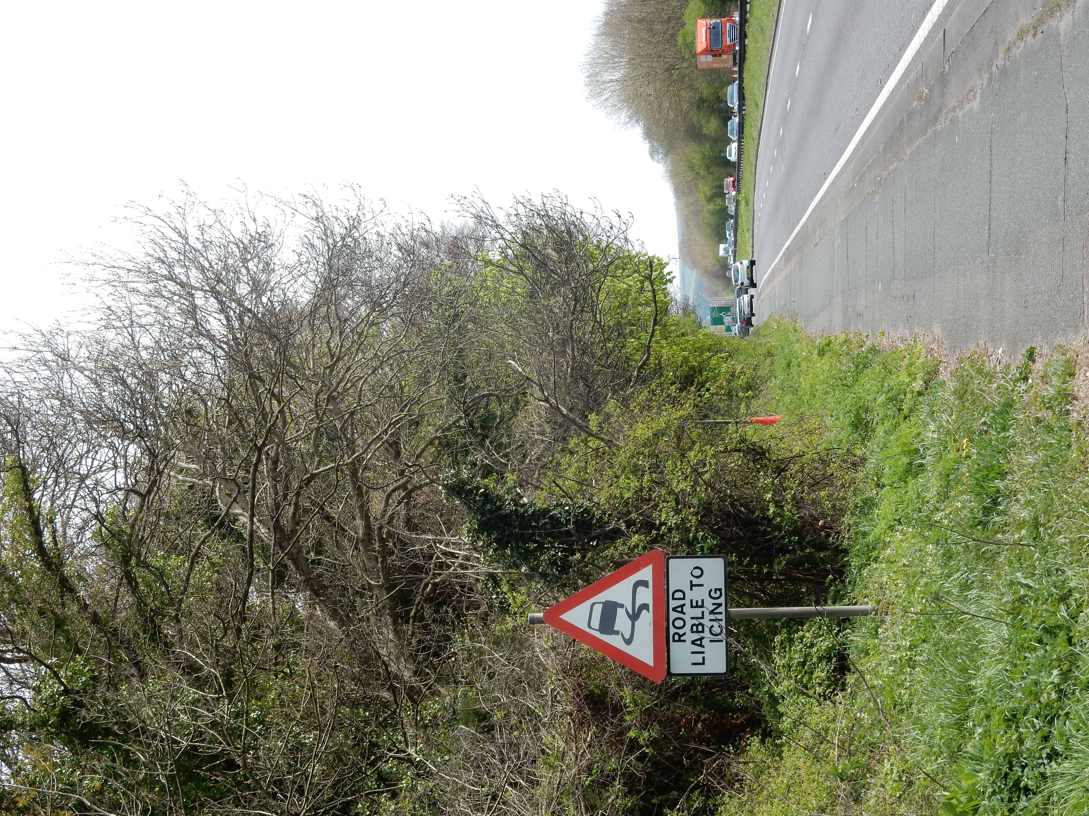
The route then heads directly east along the A27 into Lewes. I now think that it would be possible to avoid this earbashing, nerve shattering misdirection by climbing the routes out of Falmer that go north-east over the Downs. These would likely take their toll on the legs, but I can manage any slope by taking it slowly. The A27 does at least have reasonable gradients, and its surface makes for easy going at 3mph. Signs of spring may be noticed (ha). You won't find a stop for coffee on the Downs, either. If the A27 is a pain to walk, it can be nastier to drive. The collision here in January last year is likely the reason for the roadside memorials present.
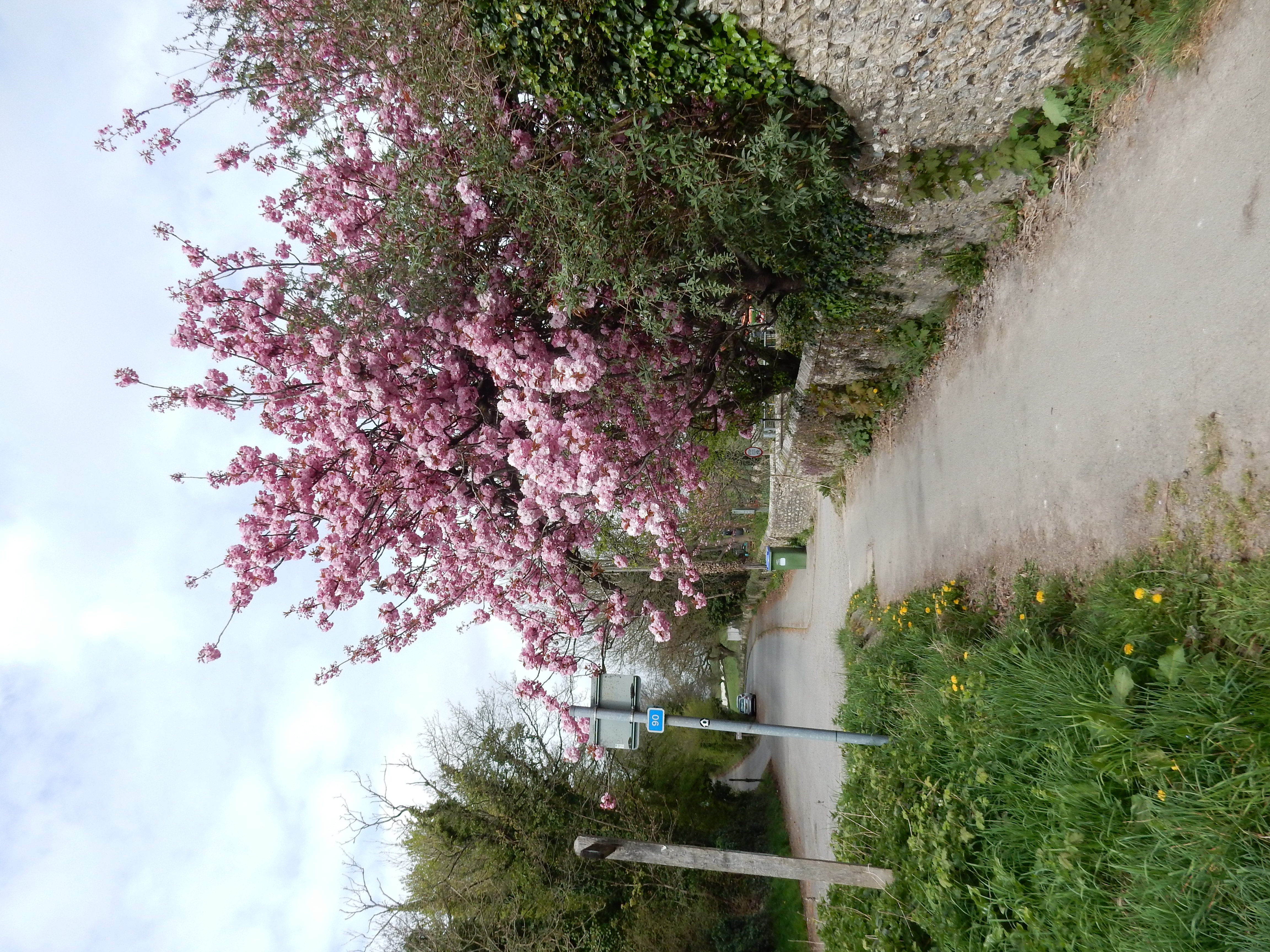


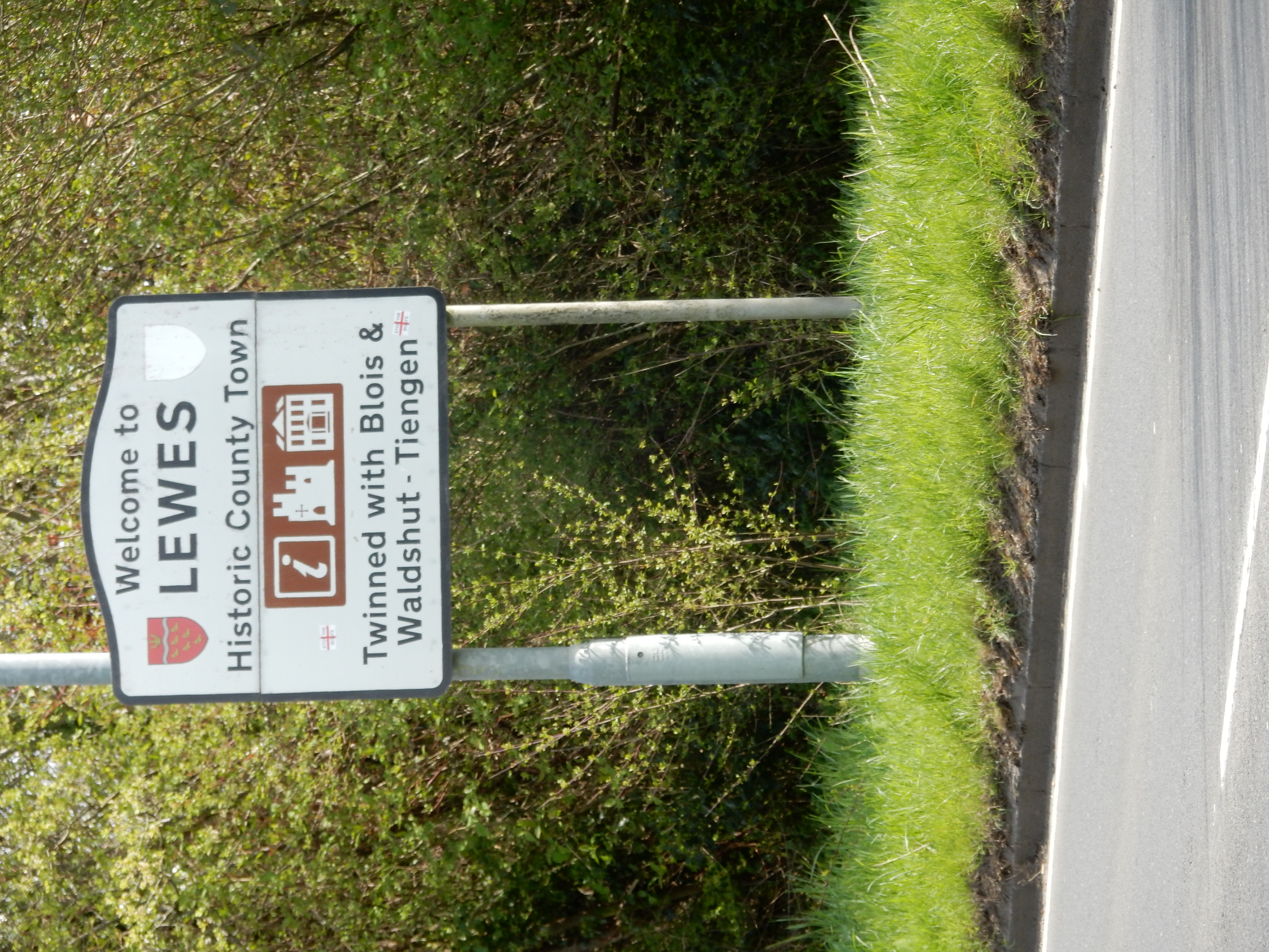
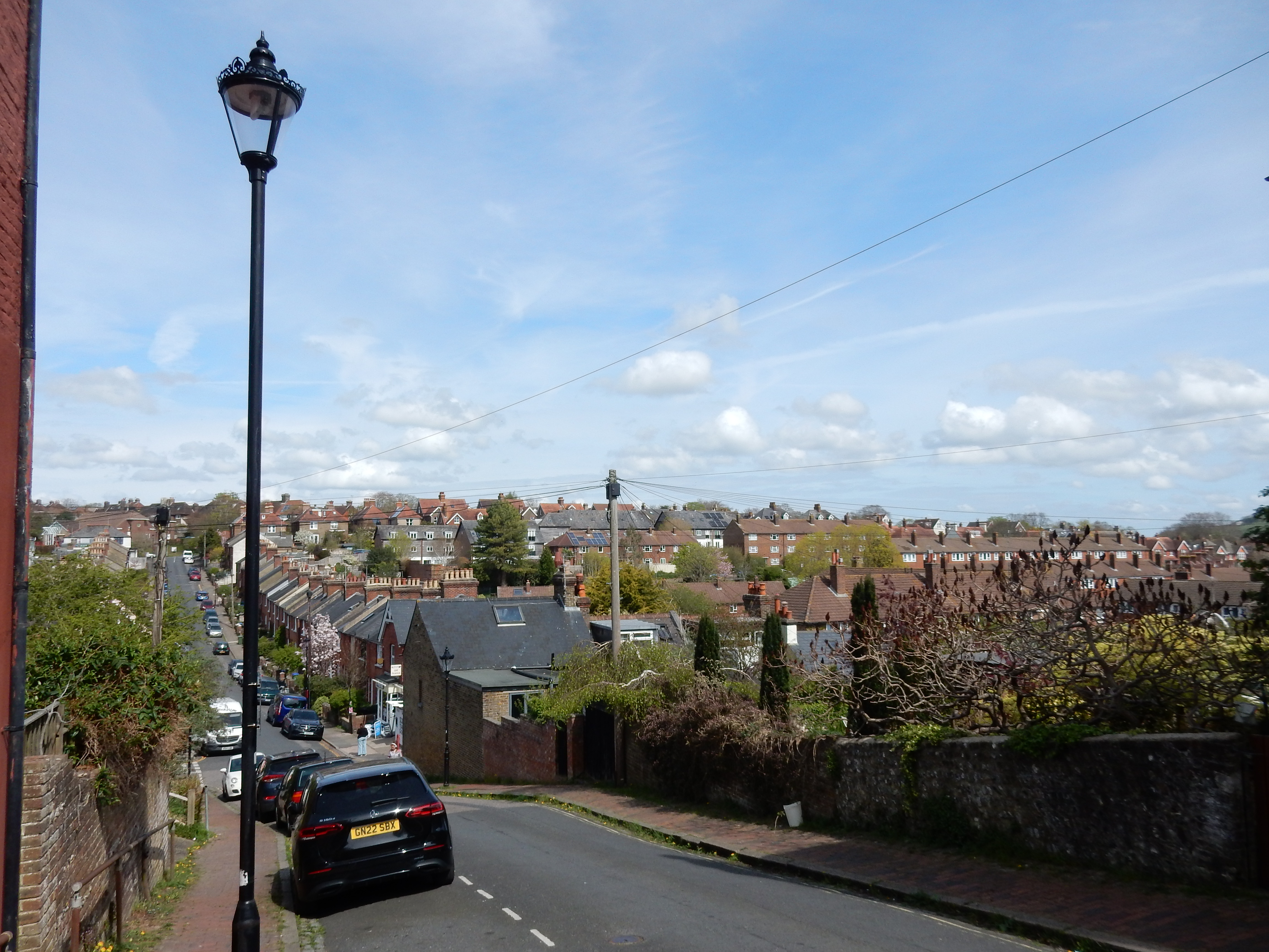
There being no opportunity for a stop on the A27 to admire the view, I reach Lewes soon enough. This is my first visit there also. People say nice things about its older part, nearer the castle, but this walk doesn't go there. I don't see much, in fact, apart from my GPS, whilst negotiating the zig-zag through the suburbs. The transition to real countryside occurs immediately after you cross Fuller Road. For reference, you don't go over this stile leading onto Landport Road. Continue under the rail line and take the Ouse Valley Way[6] along the banks of the go on - guess. The contrast between the walk on the flat here on the Ouse floodplain, and the roller-coaster parts of Lewes is very striking. Low lying, though it is, cold gusts of wind here spoil what might have been a pleasant afternoon. The sun retreats behind a totally overcast sky and rain is not far off. Only at the footbridge after Cowlease Farm is there anything by way of tree cover, so it has to suffice as a stop for lunch. On the OS map, this area is dubbed 'The Wilderness'. It feels like one.

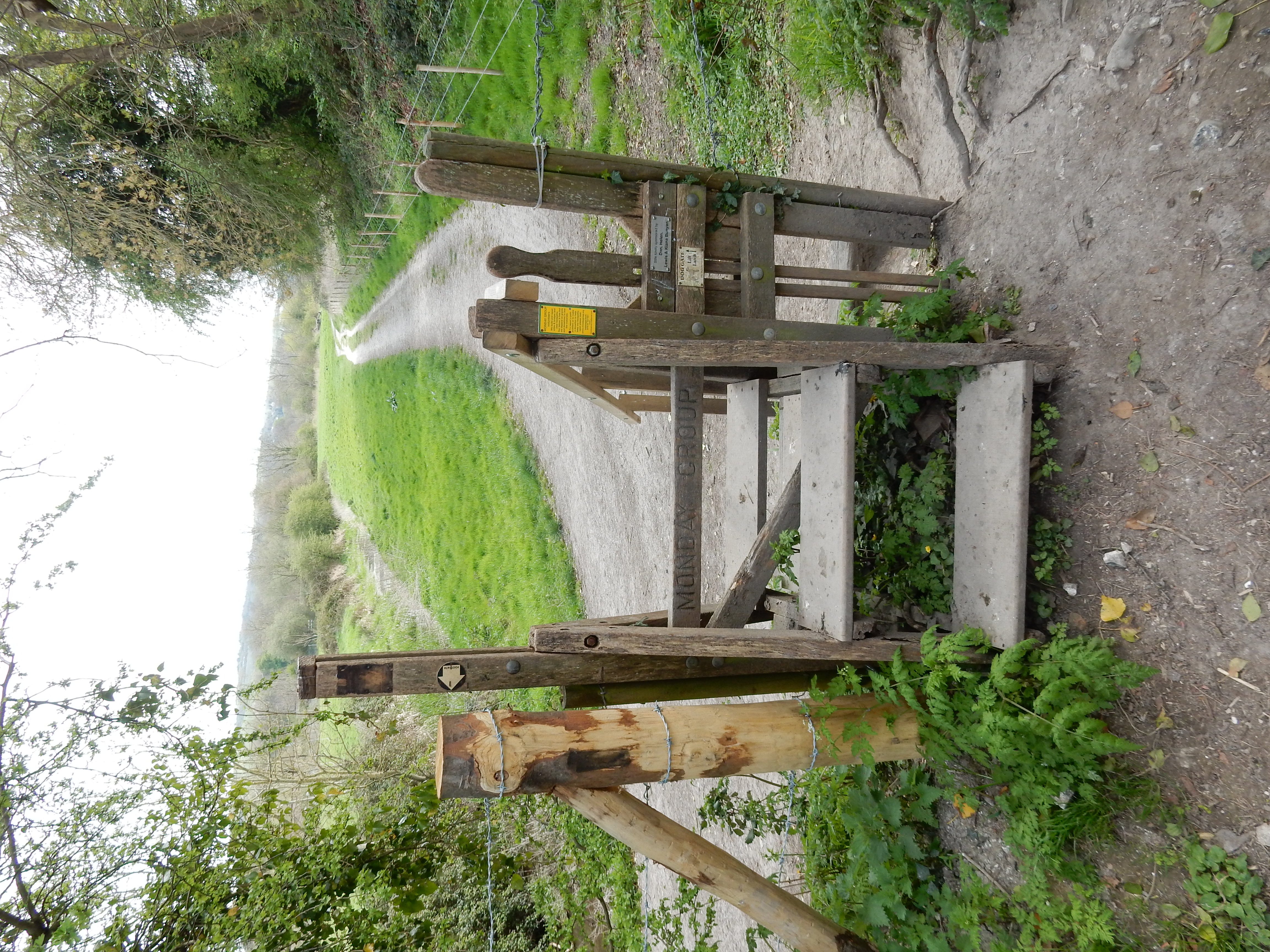

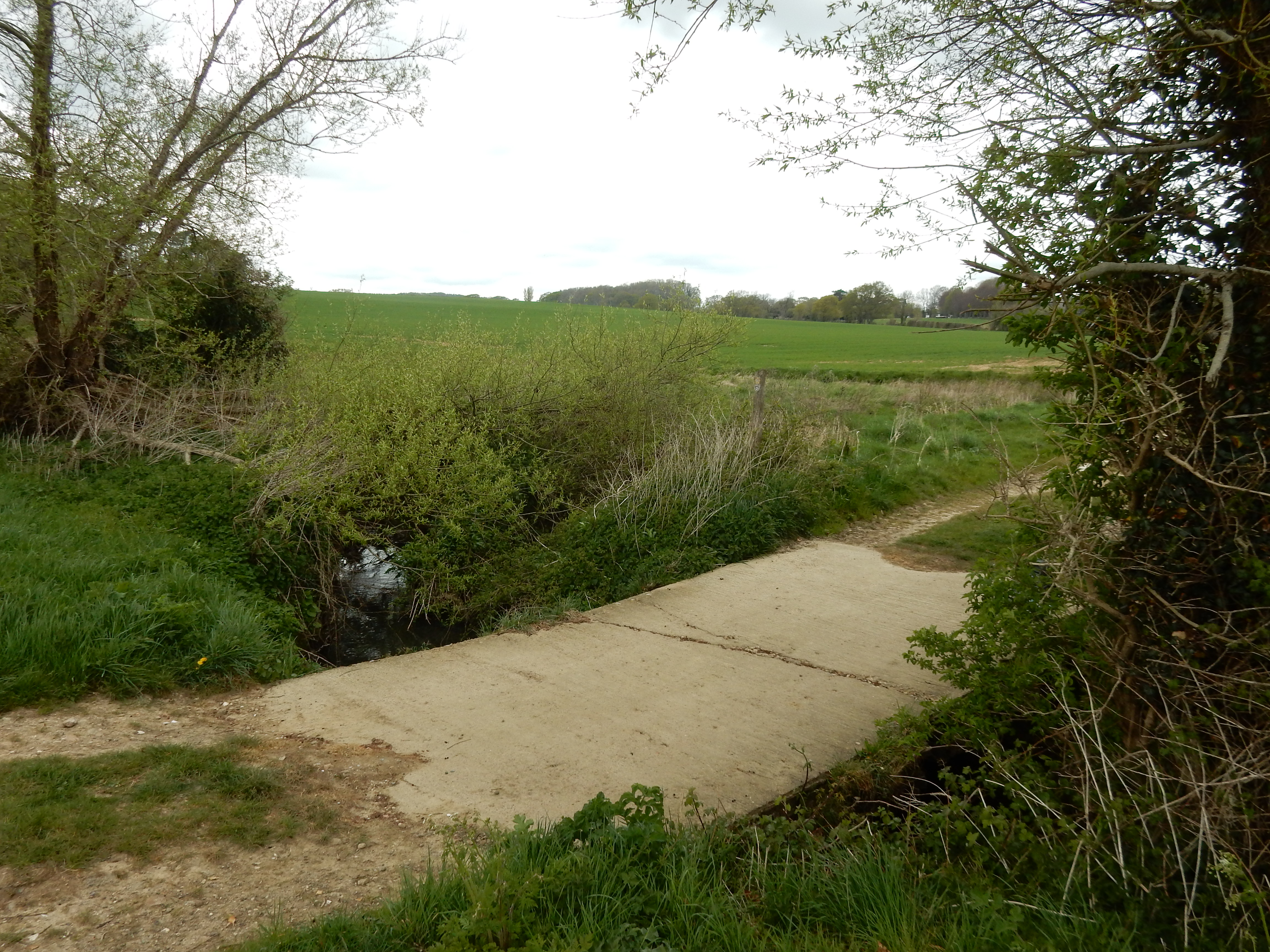
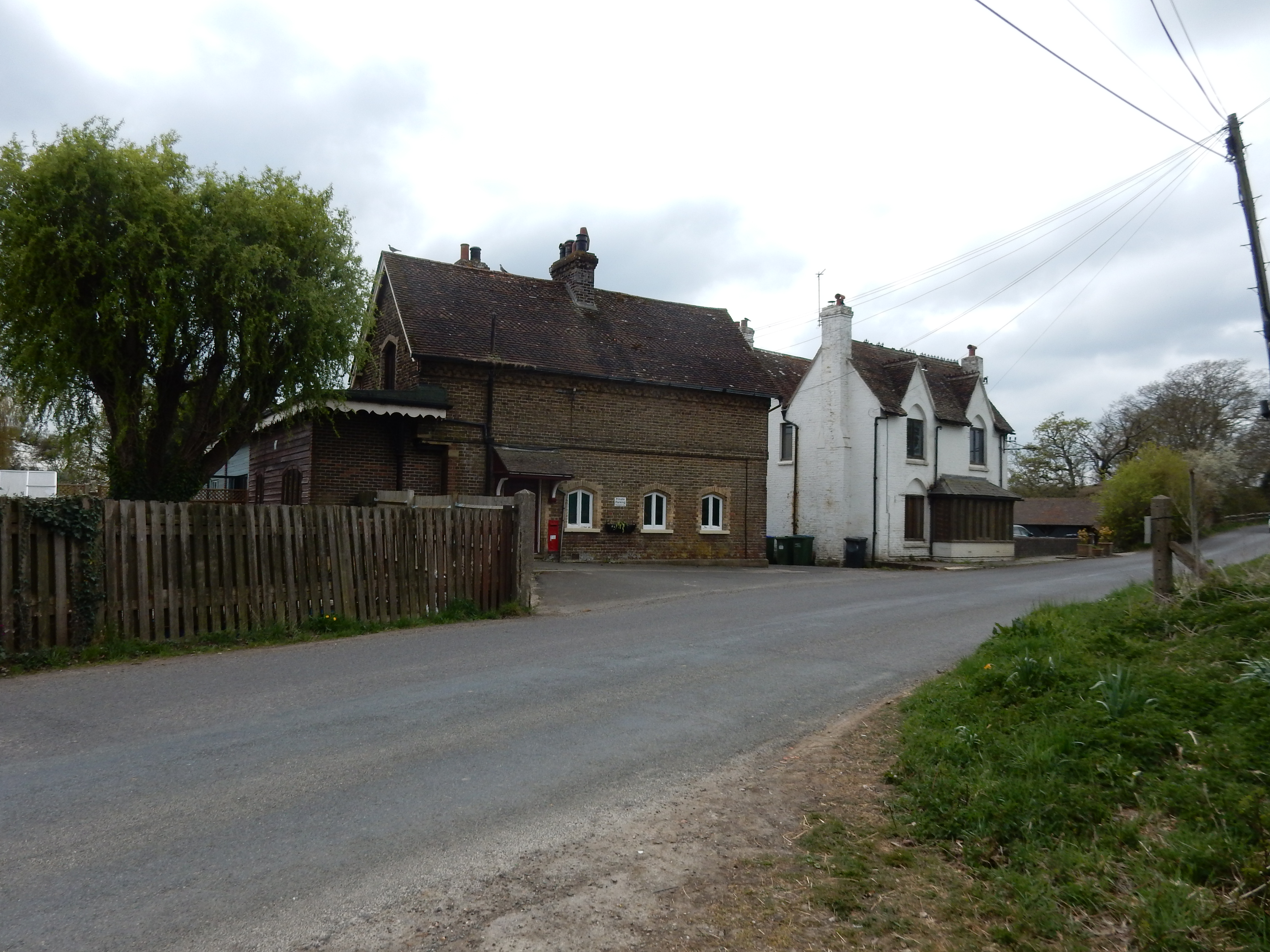
Next up is Barcombe (the outskirts thereof). Well, I thought it was Barcombe, but when I pass this photo to my Preview App, the AI assistant it consults corrects my halucination; "Brighton Beach: Beach in Western Australia." Of course! That's obvious now I look at it. Don't you just hate AI? The passport selfie it recently analysed (unsolicited) was of "An individual without hair". Bloody cheek. Back, though, to Blighty, older technology, and where, until the 1960s, the now peaceful Barcombe Mills station resounded to the puff of steam trains making the journey from Uckfield to Lewes. Many today regret the loss of such means of locomotion,[7] but this walker likes nothing better than a disused track bed.

At the Anchor Inn I briefly regret suffering my earlier lunch on-the-go but, to judge by the crowd there today, I would likely need to queue at the bar.[8] No thanks. Instead I cross the footbridge over to the east bank of the Ouse. The navigation up to Isfield is pretty simple; you follow the Ouse until shortly before it joins the River Uck. In Isfield, however, I fail to find the route through. The OS turns left off Station Road, and shortly thereafter forks right along a driveway w/o PRW. Eighty yards further on there should be a path leading to Tile Barn Farm, but I fail to see it. Possibly, it has become overgrown. I double back and continue south along Station Road until the next footpath. This proceeds along a somewhat tortuous, overgrown route, following the Uck, until emerging into Worth Lane.
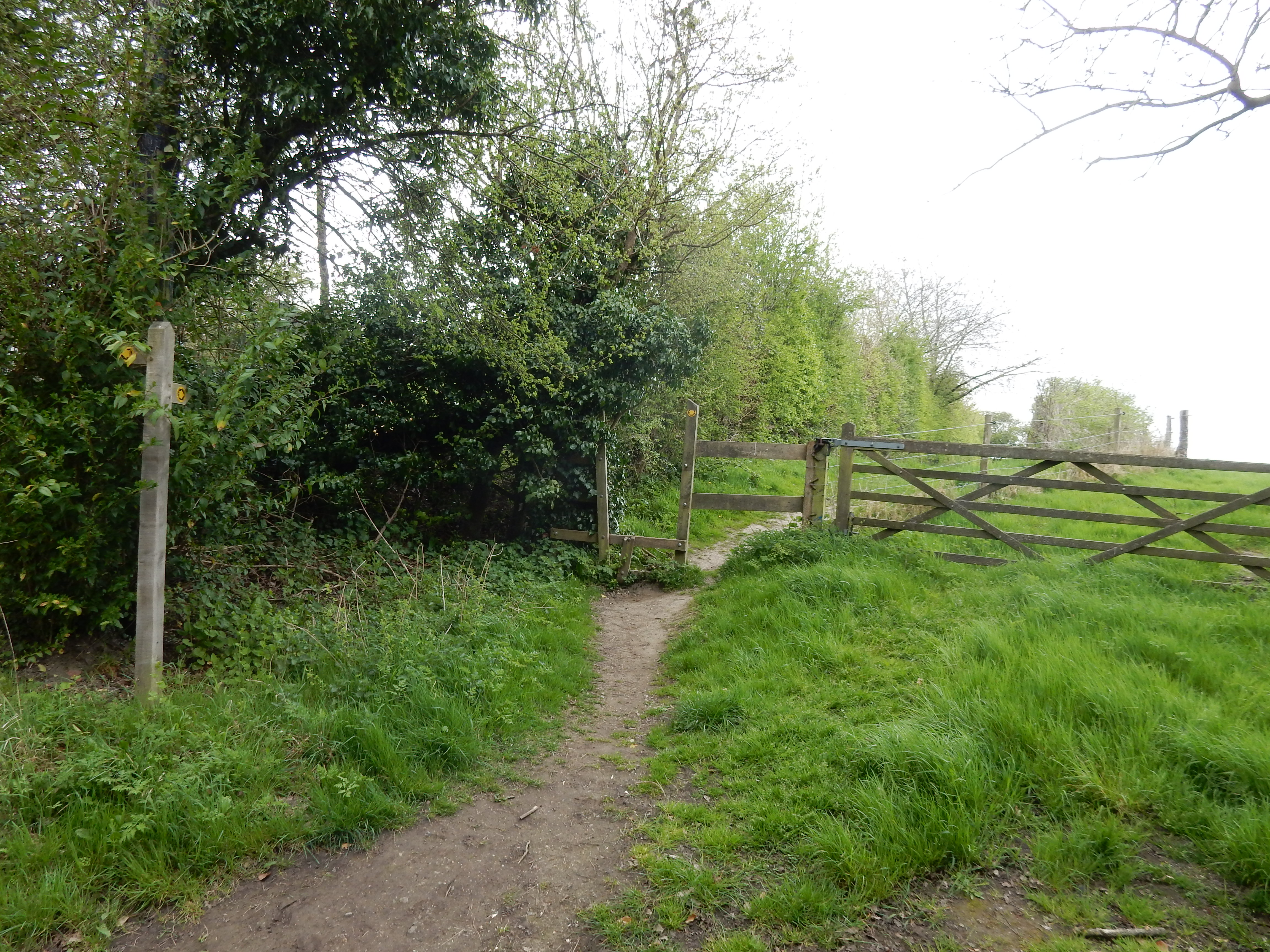
Where Worth Lane reaches the golf course and turns eastwards towards Lower Barn, the OS continues north along what turns out not to be a PRW. I try to follow, but the path just gets more overgrown and the going becomes slower and harder. Hearing my secateurs clicking away furiously, the landowner leans over the fence to inform me that my struggle to reach Stroodland Barn would not complete before nightfall. This new schedule is unappealing, so I accept the proffered alternative: continue on Worth Lane to the PRW past Lower Barn, across the golf course, and out onto Horsted Pond Lane 450 yards south-east of Plan A.
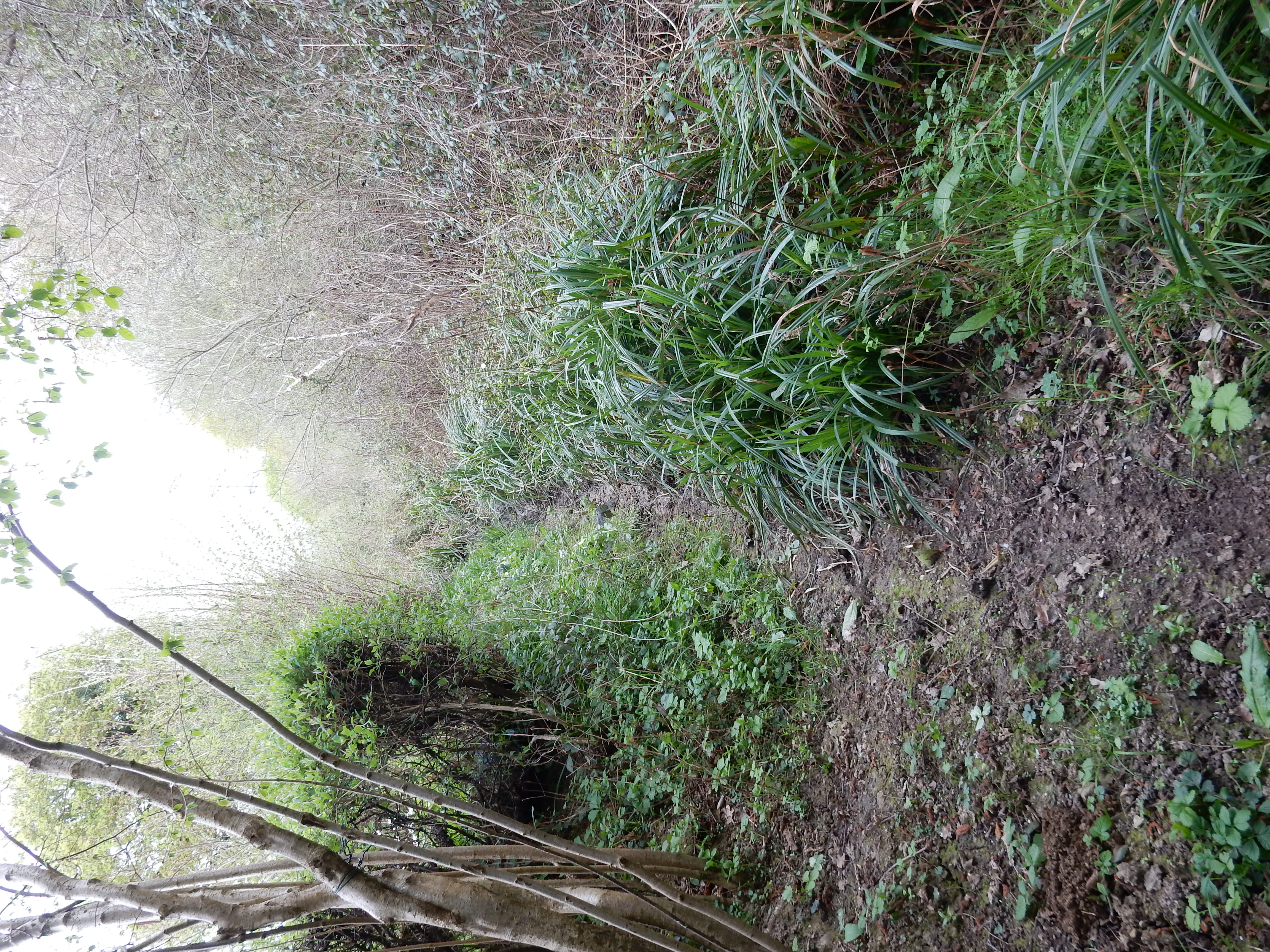
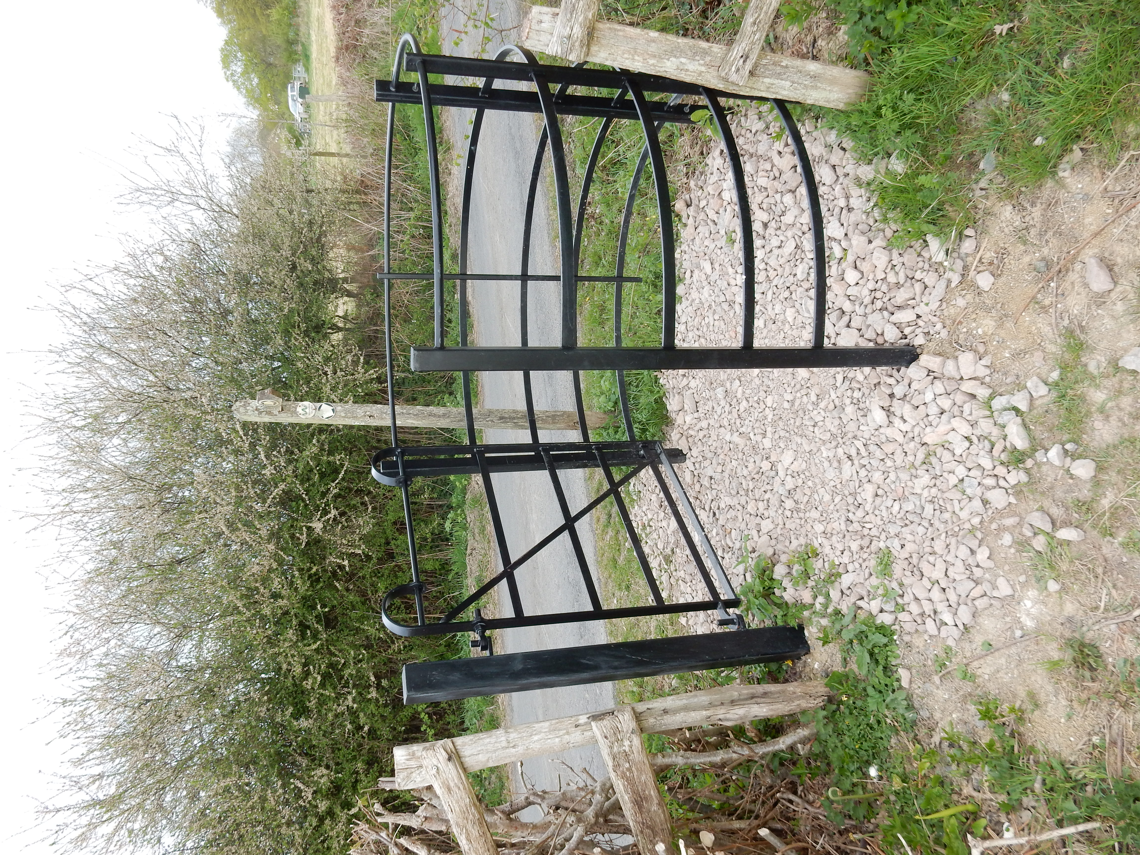
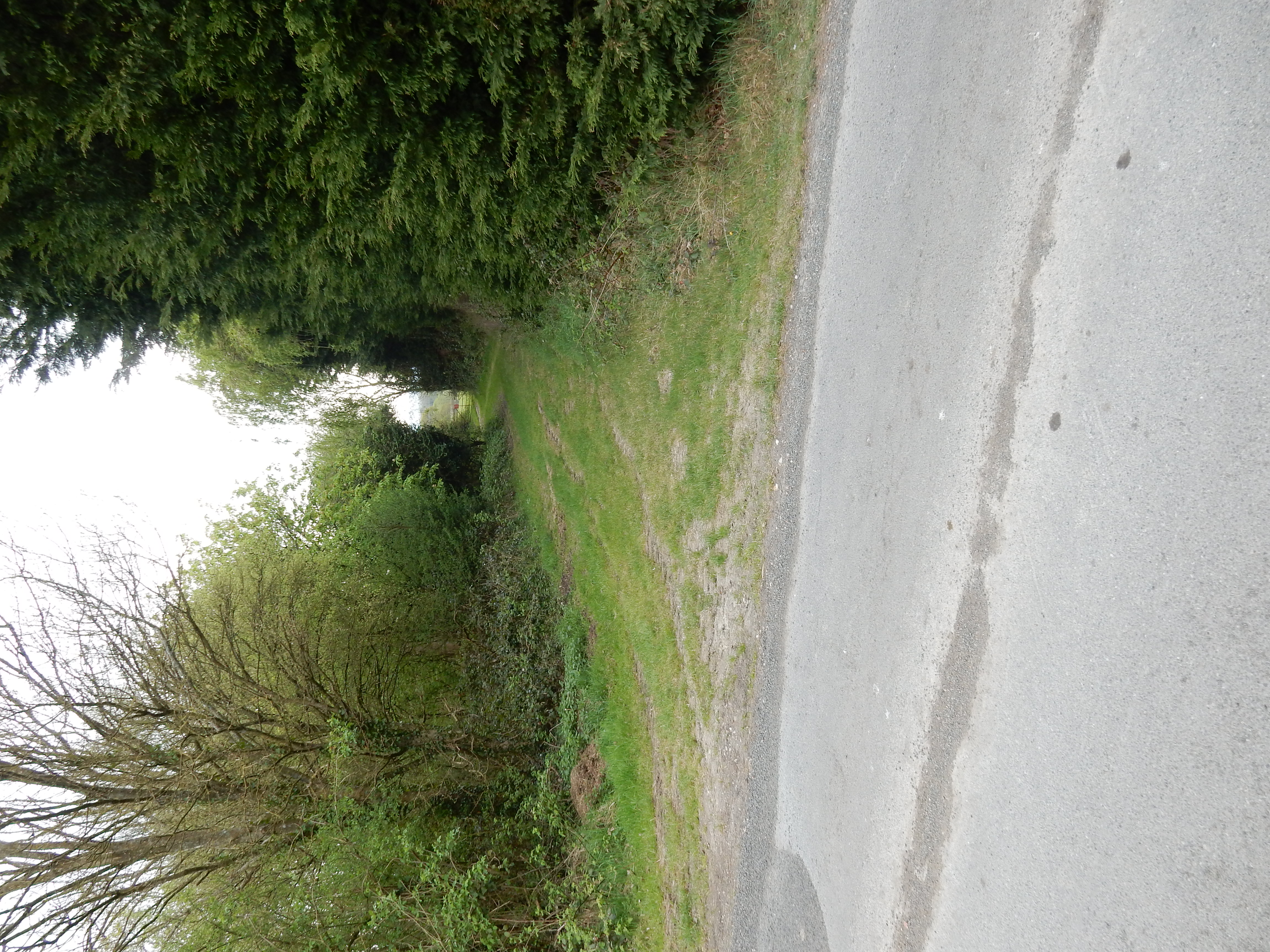
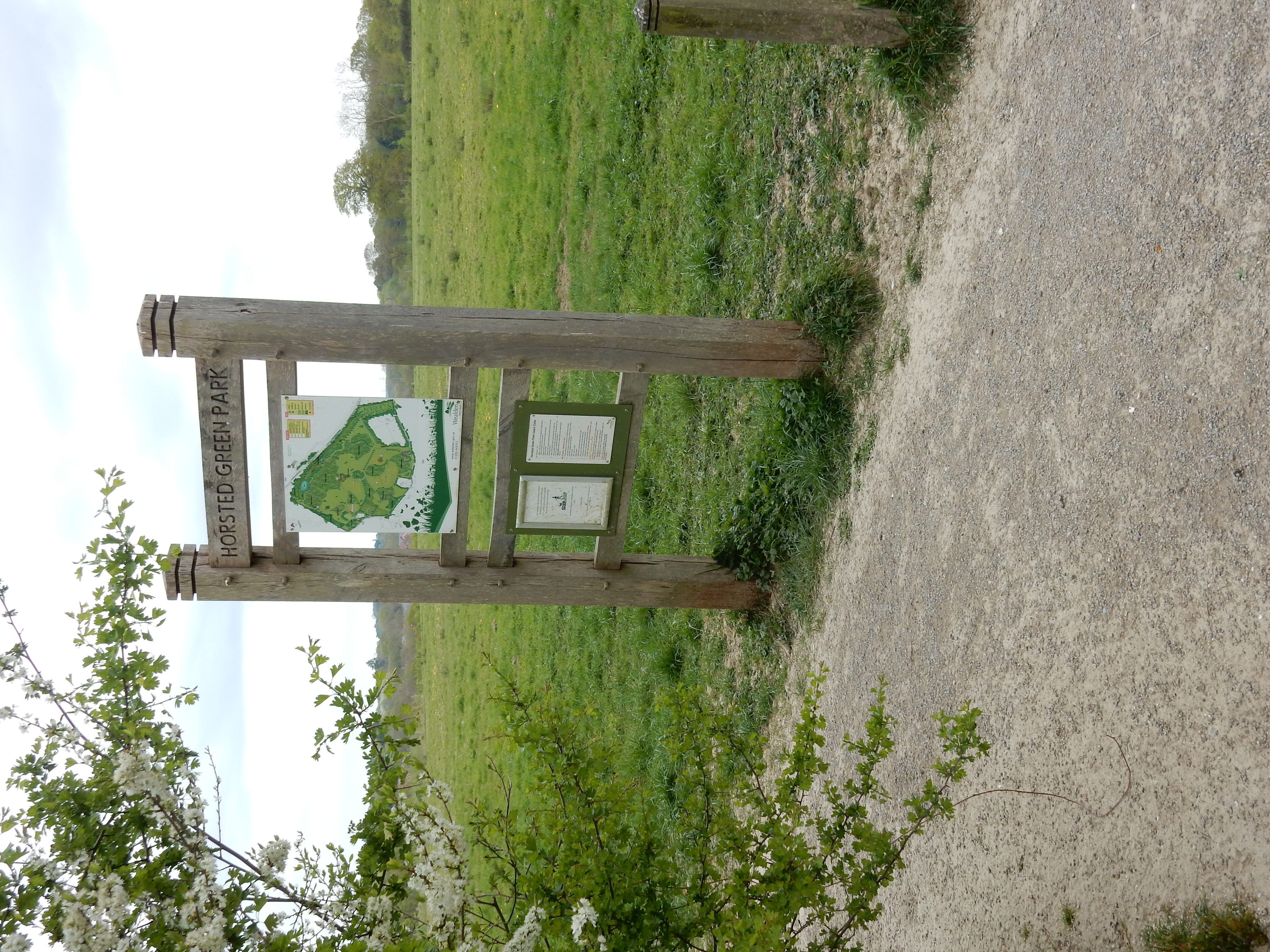
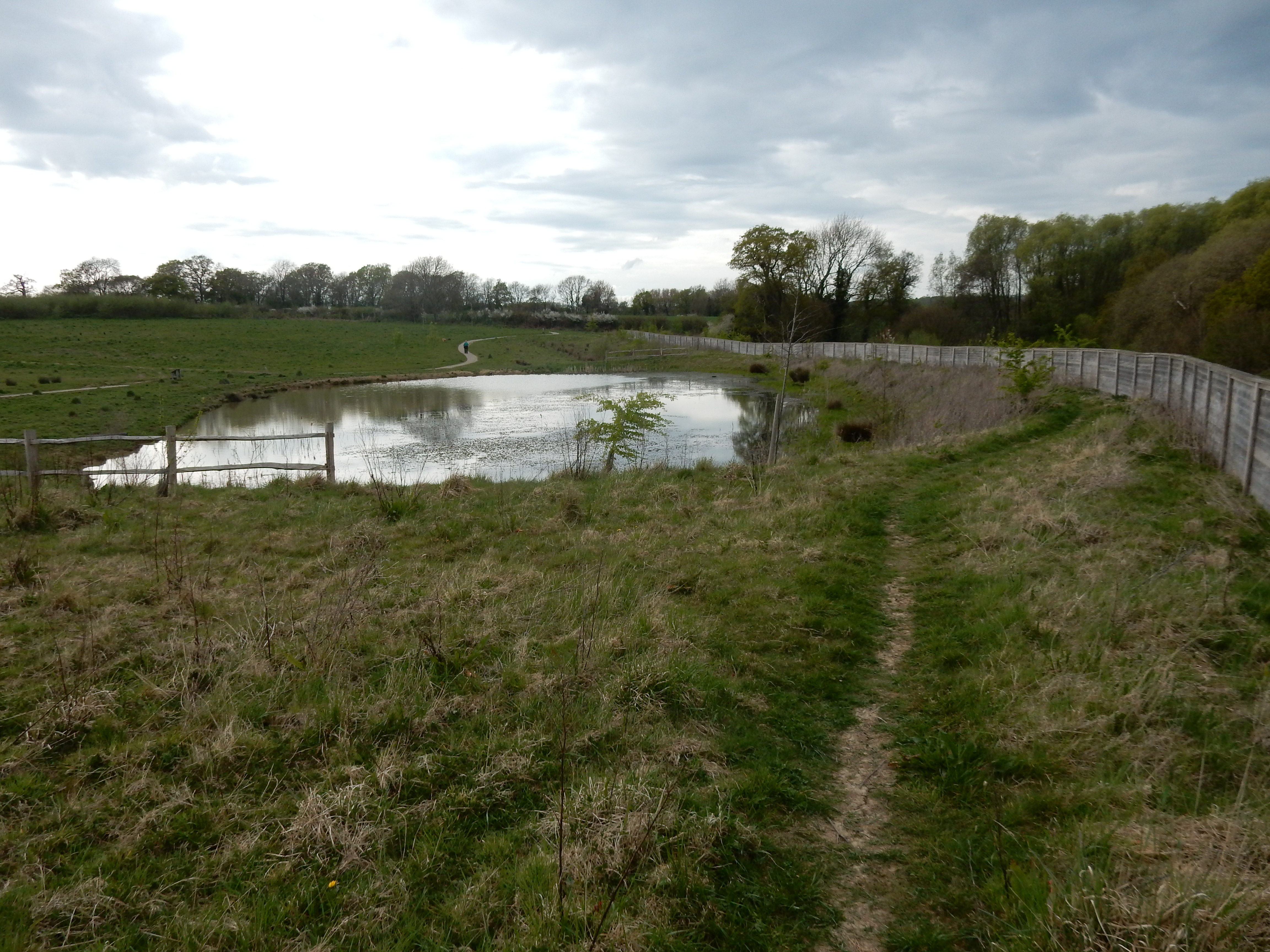
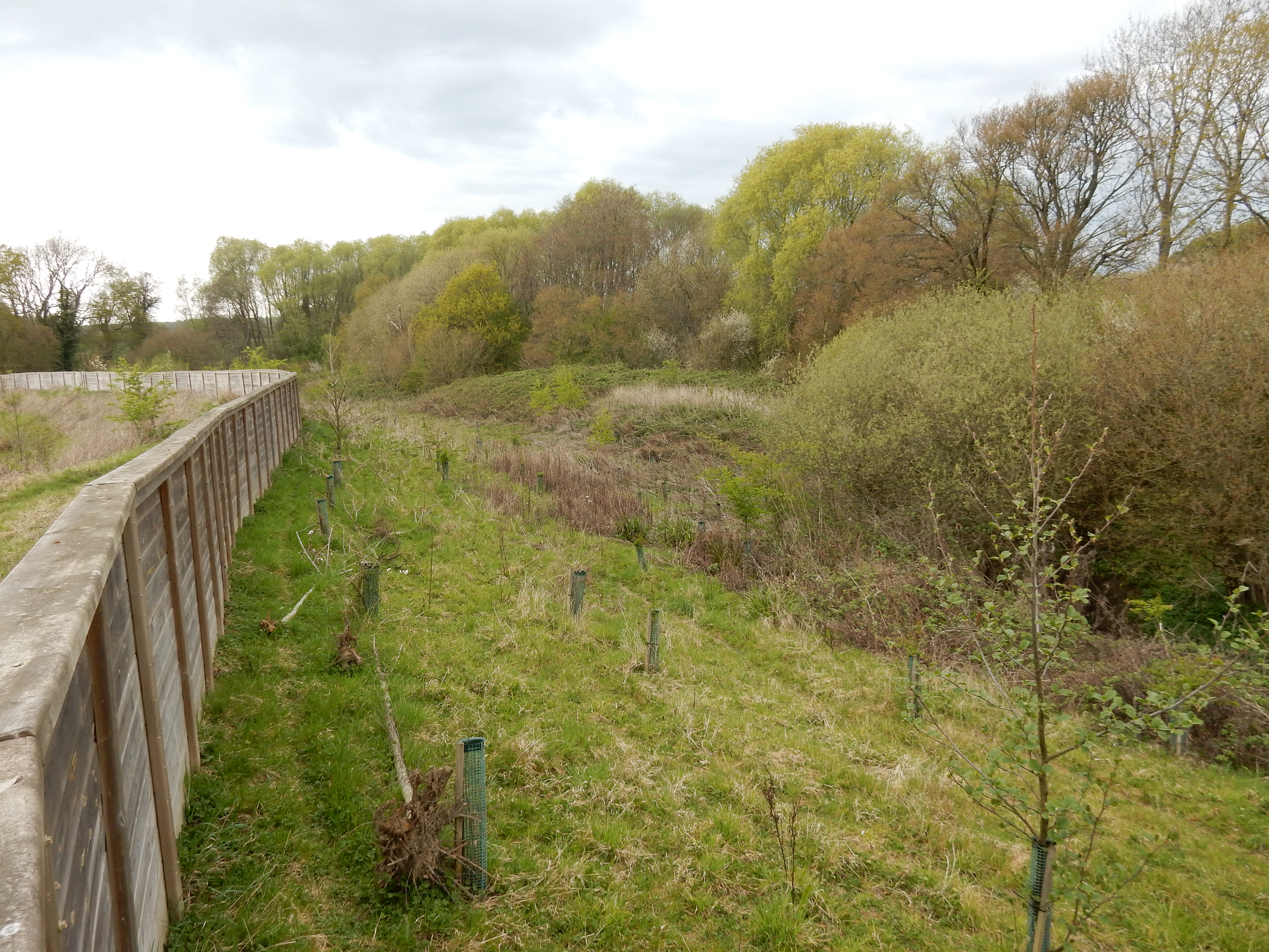
So, an annoying ½ mile added to the walk but, otherwise, you're good to go, right? Actually, the problems have just started. 200 yards from Stroodland Barn you reach College Farm and turn right into Horsted Green Park. This facility was opened in 2019, replacing an arable field. The route of the historic PRW across it was walkable until some time after 2015. A large pond was then formed over the path (presumably because that was a topographic low point), and a tall fence erected just beyond. The walker is now forced to use a route, further east, that crosses the A22 via an underpass 200 yards away in the Hailsham direction.[9] In anticipation of this diversion, the informed walker will make her way up from Worth Lane using the diversion necessitated by blockage of the earlier route to Stroodland Barn. All this is actually fair and reasonable.[10] The puzzle is why, six years later, the new route is still described as 'temporary' at East Sussex. The OS can update no map until notified of a permanent change.
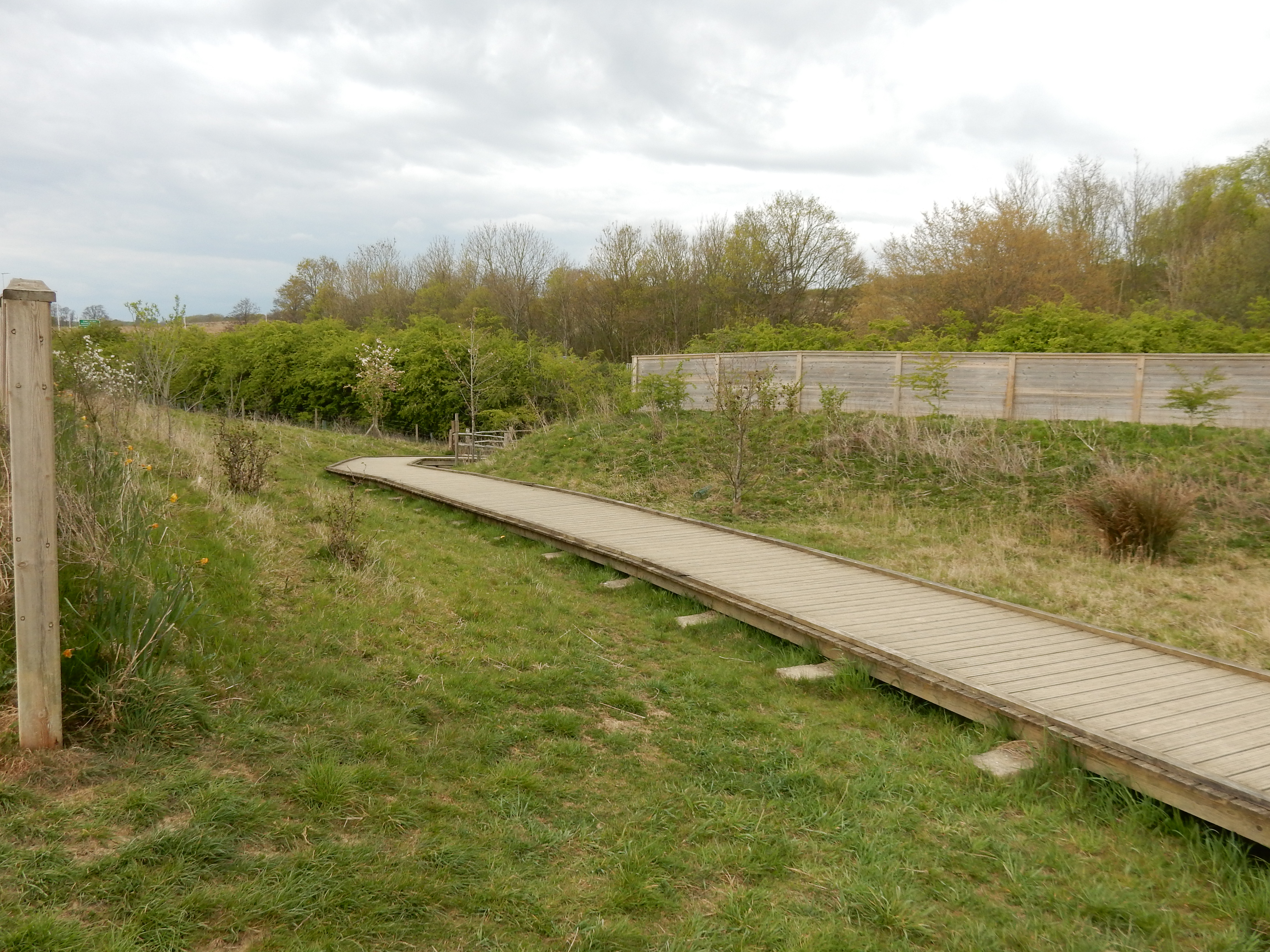
The answer to this question may involve what happens to the path on the other side of the A22. For a long time, Ridgewood Farm had watched the approach of housing development spilling out from Uckfield. Its days were surely numbered. It listened to the proud boast of every home secretary that he would be the one to unblock the planning barriers that deprived us of more homes. So, where we had green fields, we now have Ridgewood Place. However, what red tape could not delay, the Covid virus has. The new Owlsbury roundabout just sits there, redundantly, with vehicles arriving on the A22 and leaving on the A22. No other option, yet. So, dear reader, I issue no advice regarding the 'correct' path into Uckfield. We must, literally, await further developments.
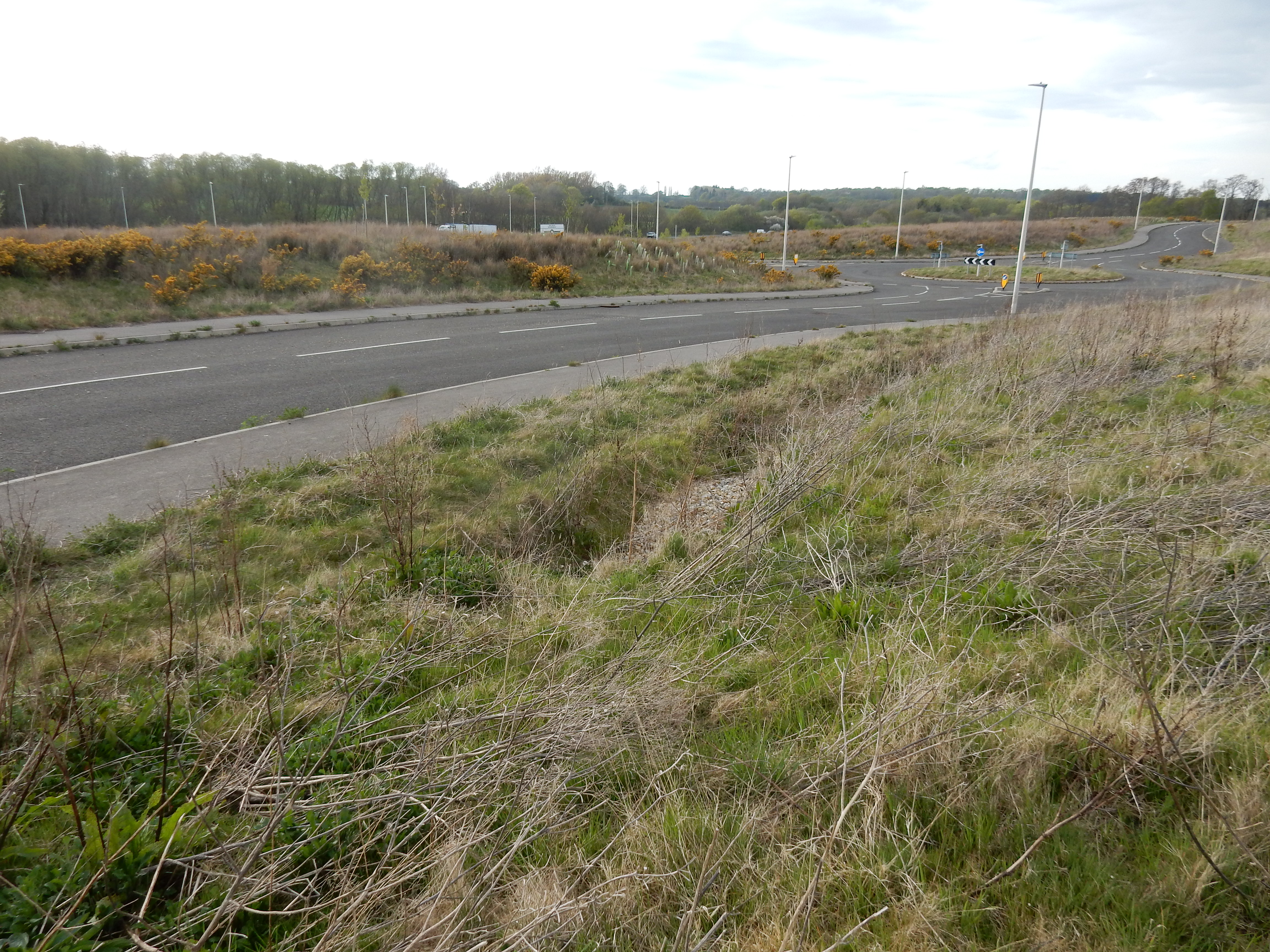
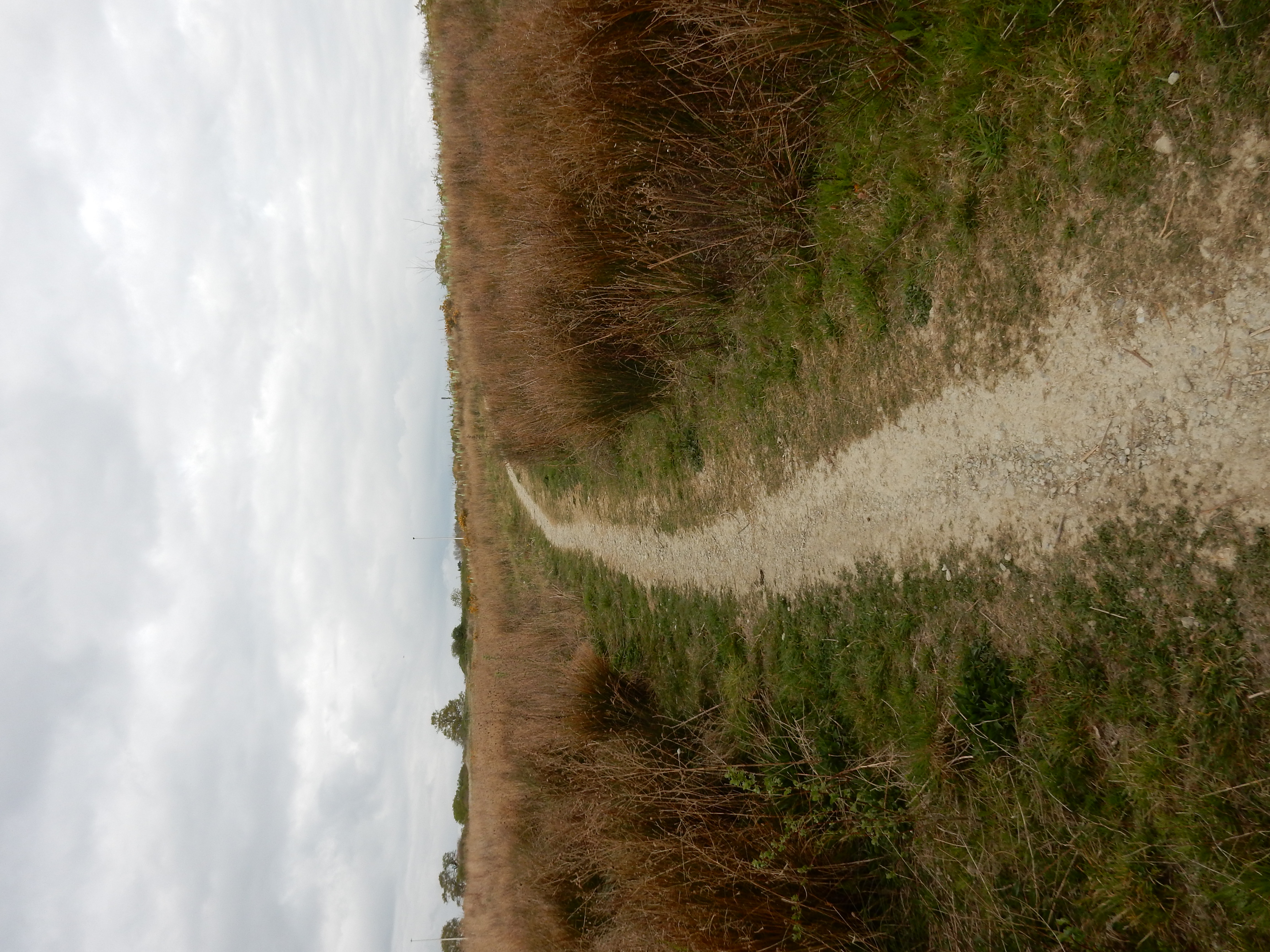
Still to come, though, is Boothland Wood. You may need to keep an eye on the GPS because signage is not abundant here. There are also some non-bureaucratic impediments to the walk. Uckfield is an archetypical Wealden District town. In winter, be prepared for archetypical depths of Wealden mud. The distance already covered alongside rivers should provide adequate warning. Today, I have no problems. Victoria Park provides a pleasant transition before the main road and full urban Uckfield. At the station platform you are once more beside the River Uck and a picturesque view of the mill standing on its bank.

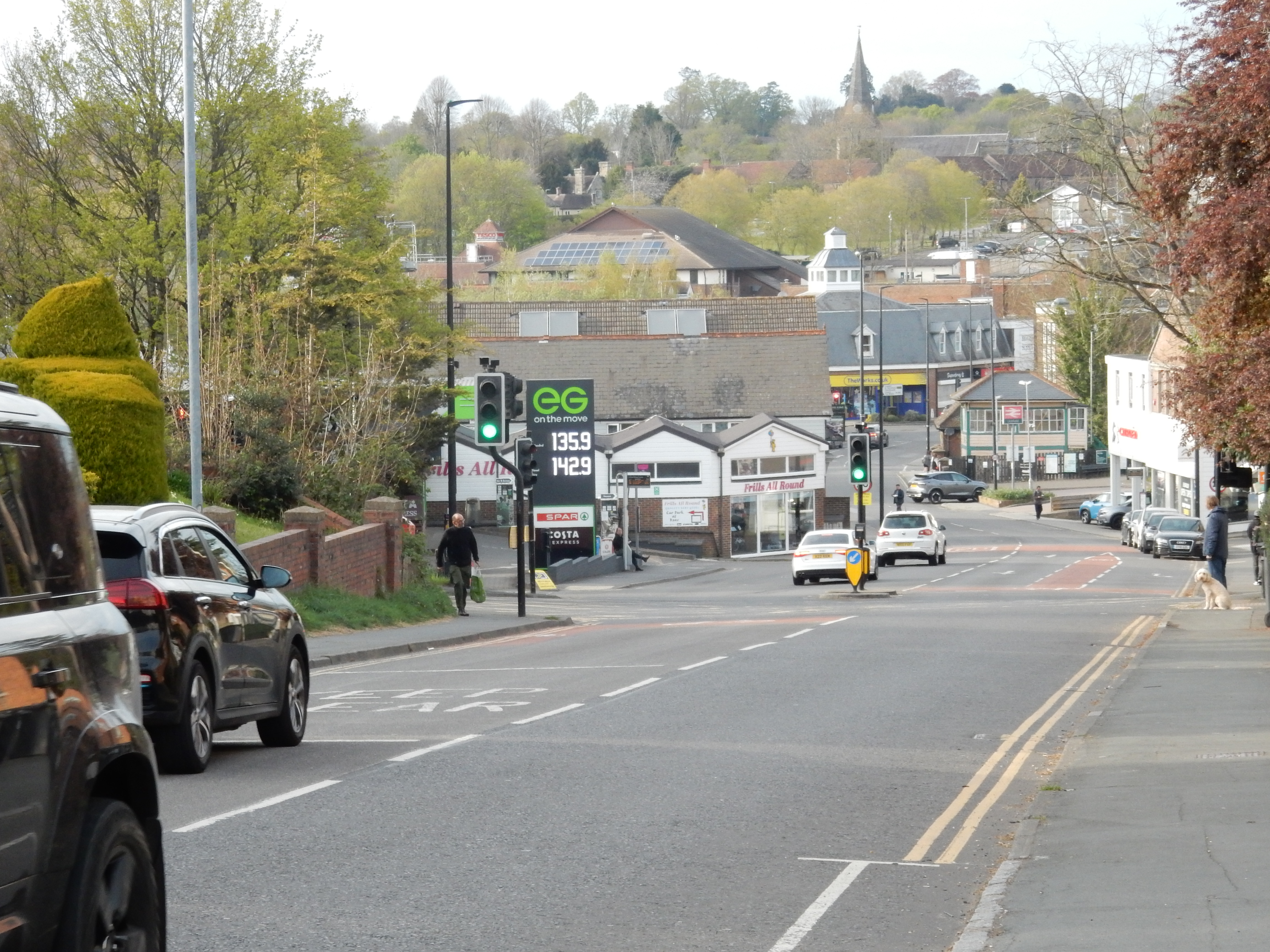
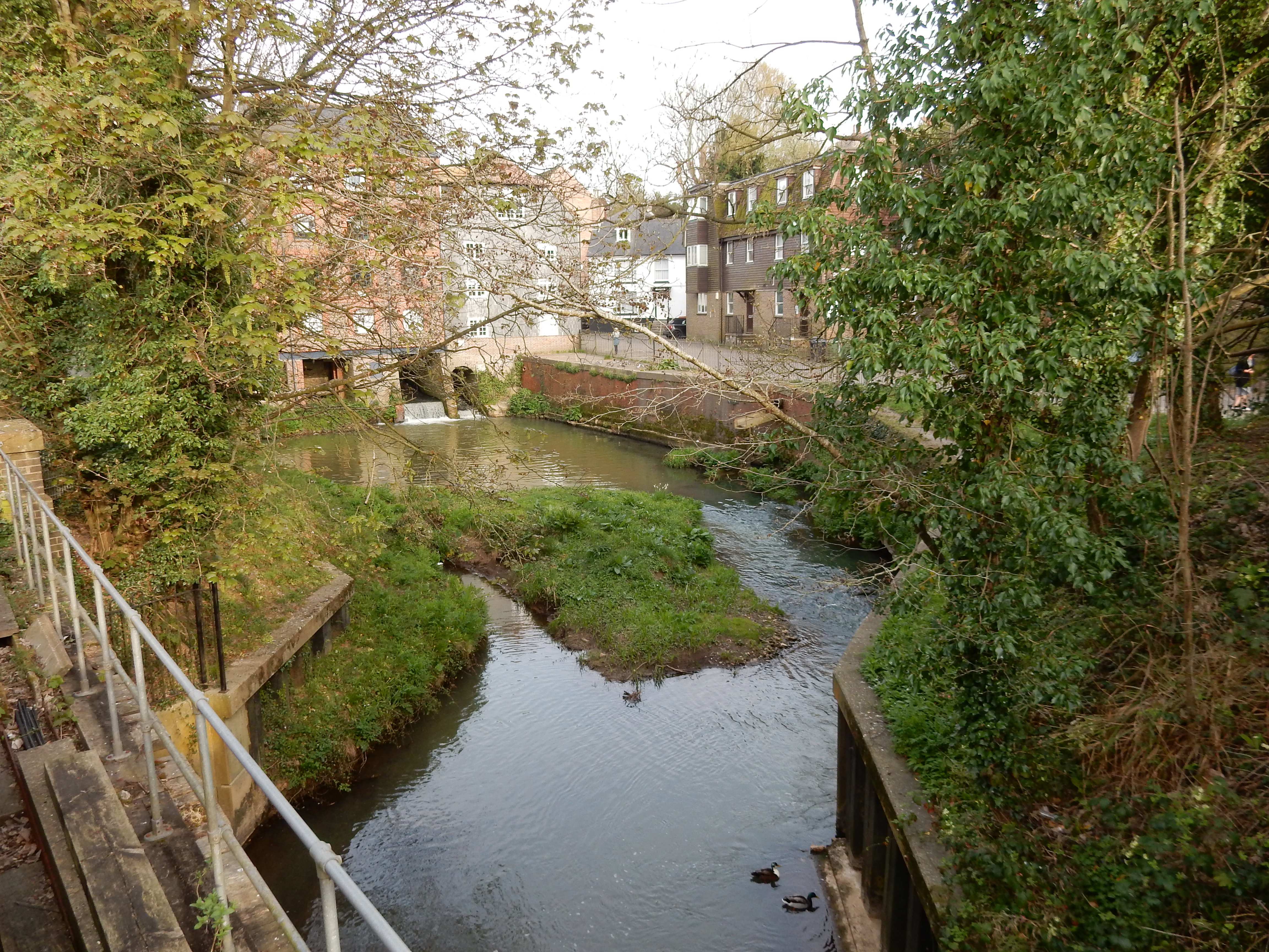
All in all, a pleasant day out, and probably worth a repeat once the route has been tweaked a bit.