
Parametric data
- Route name:
- HaywardsHeath2
- Start point:
- Haywards Heath.
- End point:
- Faygate.
- This route on OS maps:
- https://explore.osmaps.com/route/19841774/ ...
- Distance:
- 12.9 miles walked, 9.8 miles flown.
- Duration :
- 6.3 hours.[1]
- Ascent:
- 383 metres.
- Stiles:
- 1.
- Landmark of note:
- The water tower on Tower Road.
- Feasible excursion:
- A more northerly route along the Sussex Ouse Valley may be worth investigating.
- Waypoints:
- Whitemans Green, Staplefield, Slaugham, Ashfold, Holmbush.
- Refreshments:
- Coffee from the station. Packed lunch by the church at Slaugham.
-
Weather: -
 1°C,[2] ⛅️
Decidedly nippy.
1°C,[2] ⛅️
Decidedly nippy.
-
Avoiding roads: -
 A few stretches, e.g. ⅓ mile B2114 Cuckfield Road
with reasonable verges.
A few stretches, e.g. ⅓ mile B2114 Cuckfield Road
with reasonable verges.
-
Footpath construction: -
 Mostly
wealden clay.
Mostly
wealden clay.
-
Footpath condition: -
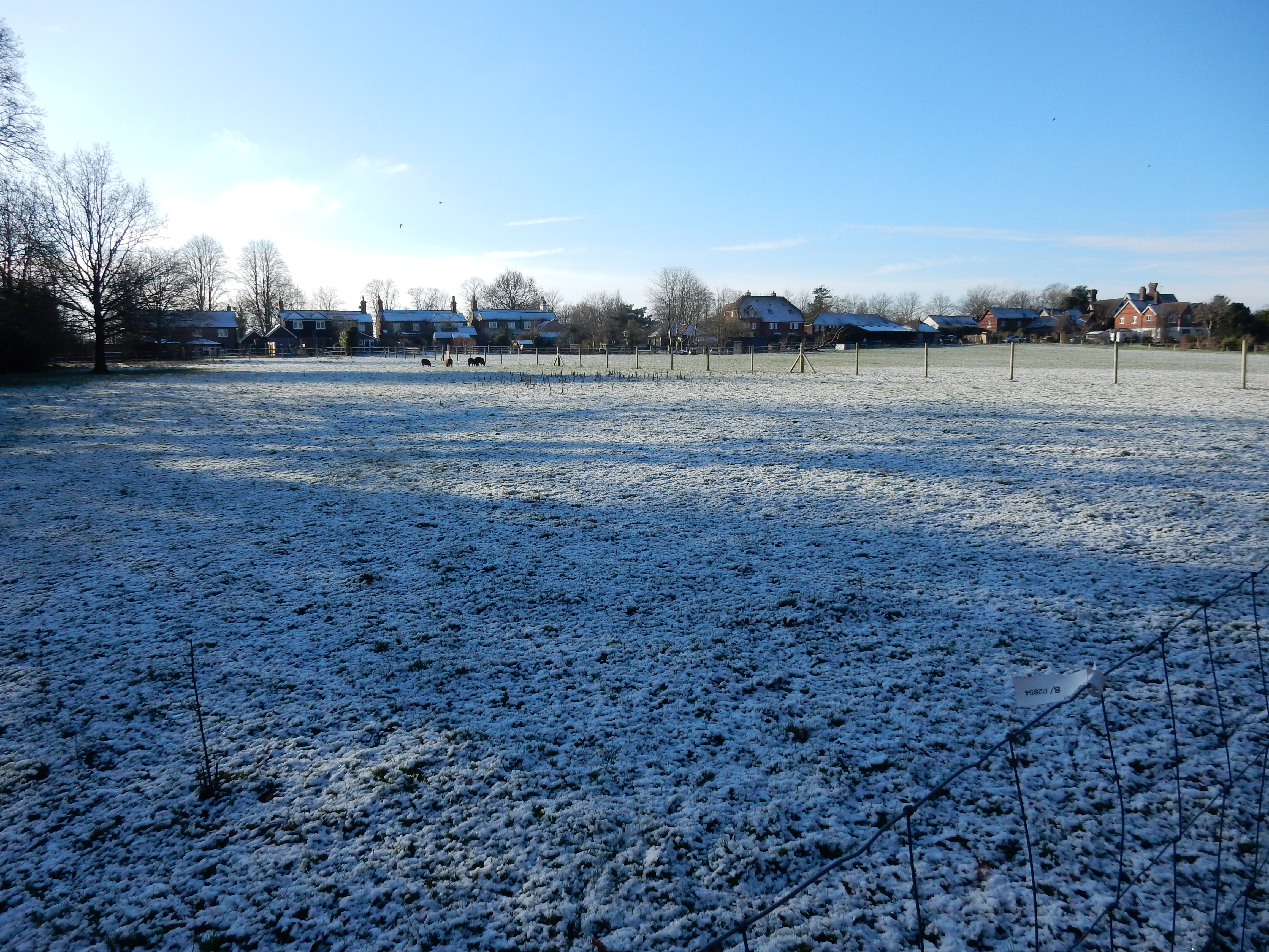
Hideous. Rain for months beforehand and snow the previous day.
-
Vistas: -
 Some along the High Weald Landscape Trail.
Blackberries:-
Doubtless good in season. In January, no.[3]
Route map.
Walk notes.
This is my first planned walk for 2024, and the first for about a month. The incessant rain over Christmas and the New Year has discouraged extramural activity. Before 2024, this walk would have been unthinkable. My prior experience of St Leonard's Forrest left me in no doubt about what I should find there at this time of year. Recently however, following encouragement by a fellow Rambler, I treated myself to a pair of Harris 'waterproof' walking boots. They have diverted my Winter Walks away from town and back to country once more.
Now, this thinking is fine, as far as it goes. There are however two caveats. Firstly, the DryBoots are not Wellingtons. They offer protection only up to depths of 18 centimetres (7 inches). Ordinary trousers, furthermore, are in for a soaking well before that (in just the shallower parts of Lake St Leonard's.) Secondly, maintaining 2.5 miles an hour across the Lake is infeasible. Over the worst bits, impetuosity will result in an aerial episode with a landing that is soft, but a laundry bill that is hard to pay.
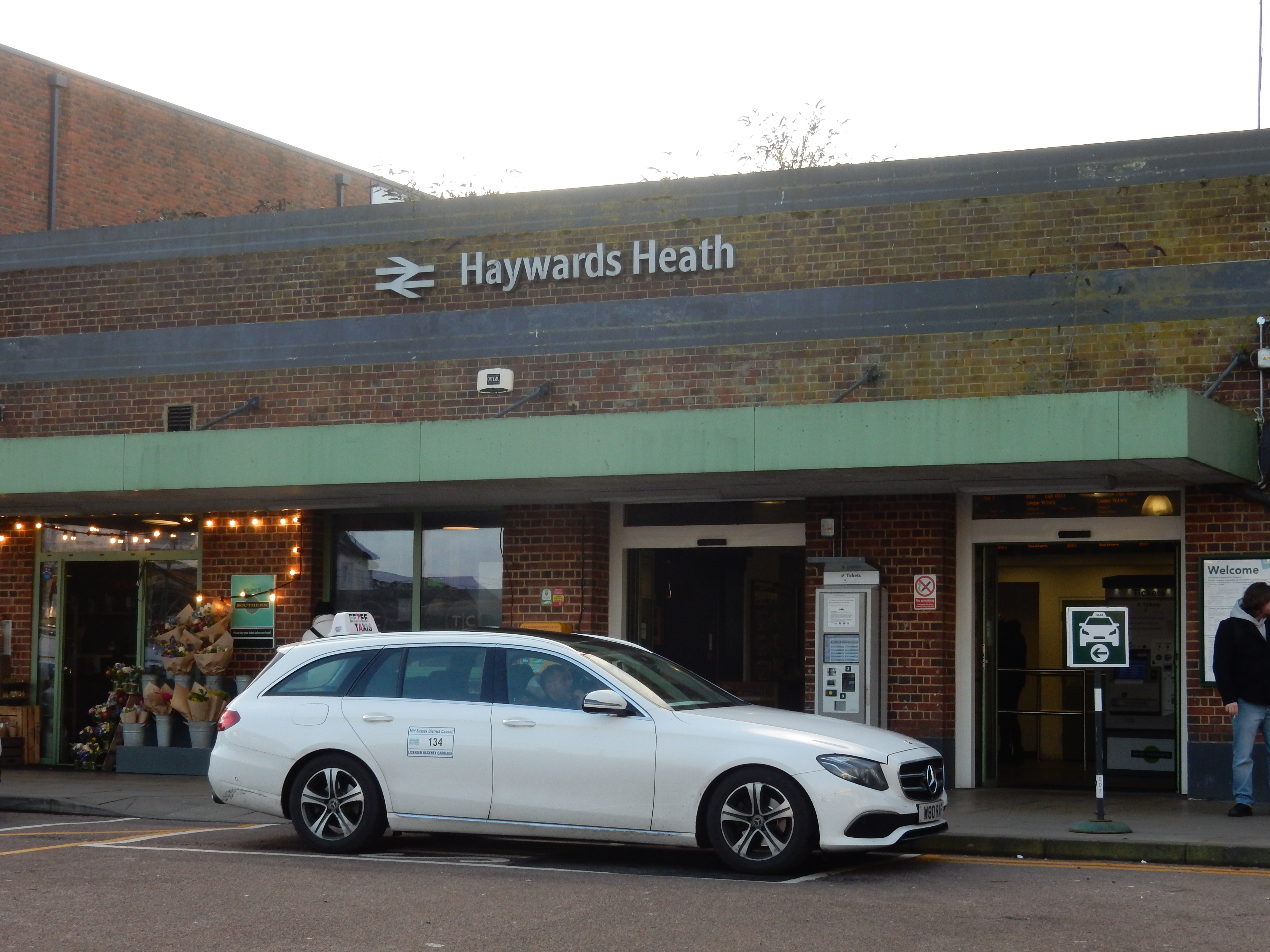
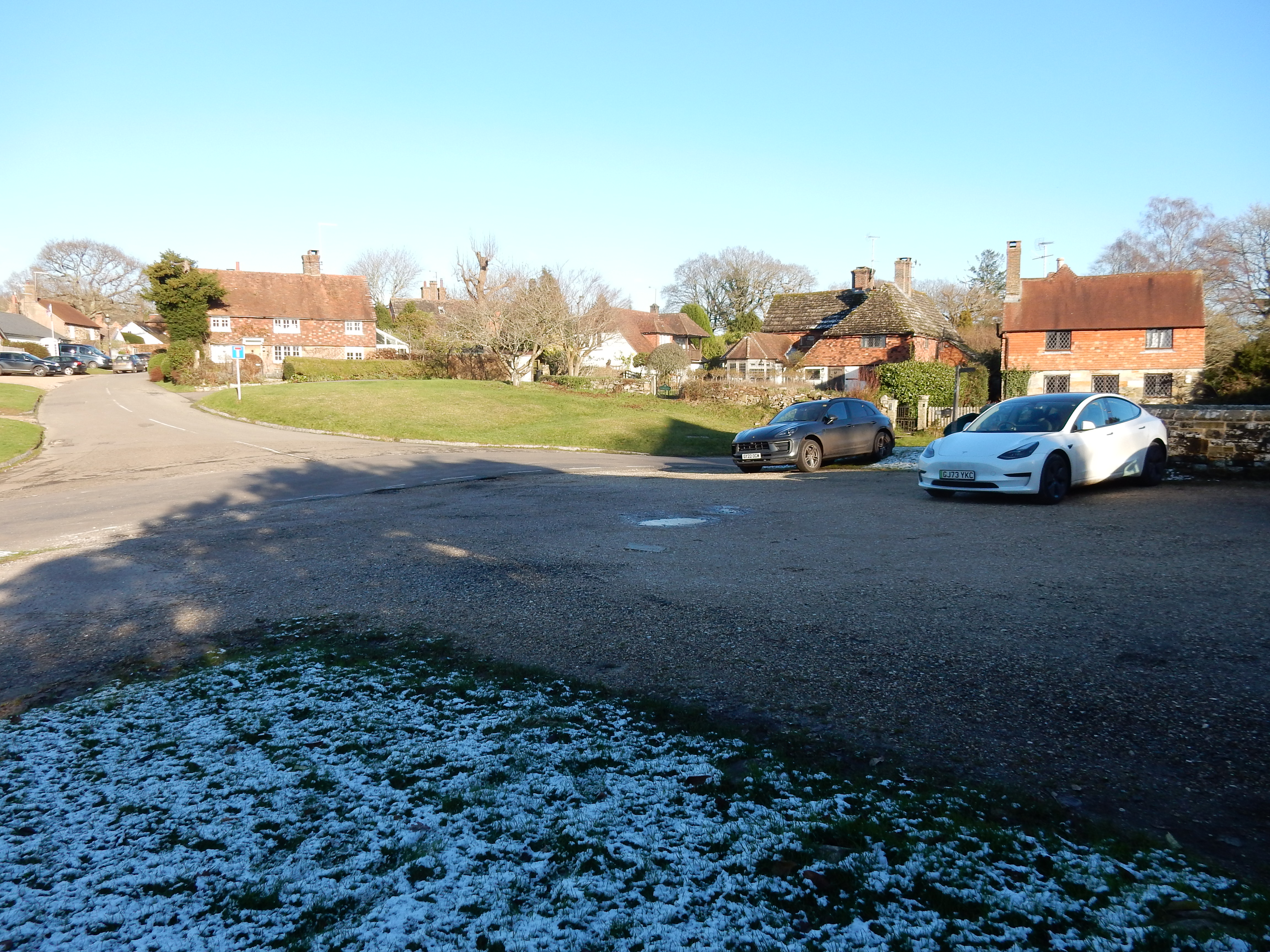
Anticipating that, hardly three weeks after midwinter's day, a shortage of daylight is going to be an issue, I arrive early at Hayward's Heath by the 08:51. No off-peak single today 💷
... it is the way in which, when rain has fallen
and when water is plentiful, going is difficult, ...
I squander my punctual start, first on a coffee[5] and then by taking the wrong exit out of the station. No matter. A brisk stroll along Harlands Road is about all that is needed to reach The Weald, specifically Blunts Wood. Council owned, and bordering Haywards Heath itself, I imagined that this resource would be more akin to manicured, easily traversed parkland than the shock I actually got. A dozen steps in you encounter a neglected, unsigned, overgrown, windfall strewn, precipitous, waterlogged dirt track. Crossing the Scrase Stream (a tributary of the young River Ouse)[6] is by way of the feeblest excuse for a footbridge that I have ever encountered. A handrail? No. Two planks so slippery with mud that they organise curling competitions across it? Yes. What is going on? I'll tell you what. It's an issue that crops up also in the later sections of this walk: a Derelict Right of Way. Or, at least, semi derelict since the 1960s. You soon find yourself climbing over fallen trees and through brushwood. A long, hard look is required to spot the point where the path turns upwards to the right and away from the Scrase combe. When next I do this walk, I will use the newer route starting from the Blunts Wood car park.
The ascent up to Ardingly Road is rewarded by some good views to the south. High Weald, here we come. Premature exuberance at this point is punished by an exceptionally deep section of quagmire in which my left boot very nearly remains stuck for all time. If a hilltop is this bad then what awaits me at St Leonards? I tighten my laces, once again, and continue through Whitemans Green. It's probably a very nice place; but you cannot tell from this path. As I leave it behind, the 'moderate breeze' described by the weather forecast veers more northerly. Its temperature drops, and it gains immoderation by the minute. The skies clear, but Mr. Sun concedes defeat to Jack Frost before you can say "solstice".
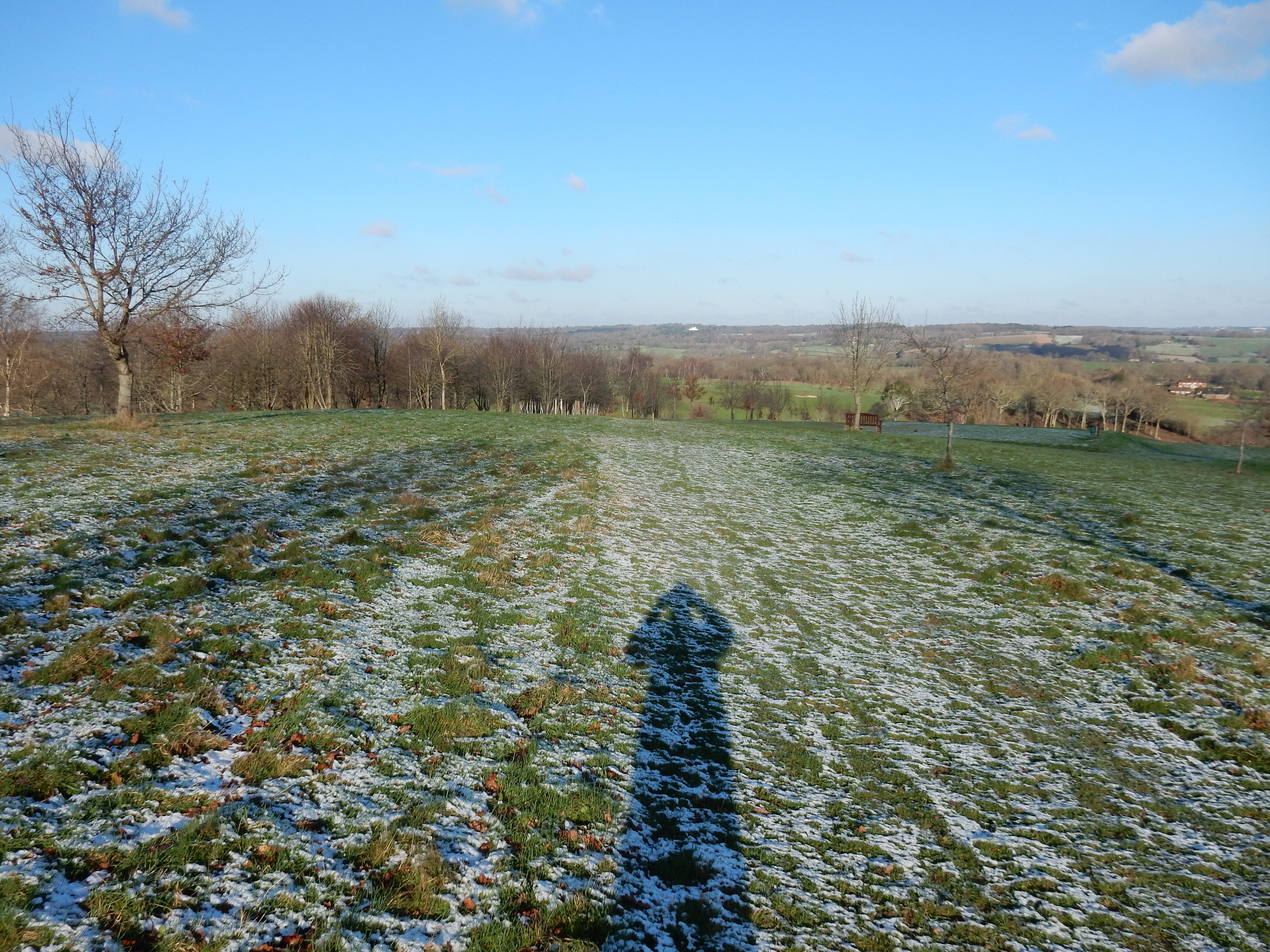
Somewhere in England there may be a golf course without a public right of way going over it. Cuckfield certainly isn't it, as testified by the sign advertising the usual battle. Well, today I am the only participant without sense enough to stay at home in front of a fire. How could you spot a golf ball resting on this dusting of snow, anyway? So I get the recommended view all to myself. I get the icy blast at this altitude, without cover of trees, all to myself as well. Now six minutes past midday, the sun is clearly no great distance above the horizon - a reminder that it will set before my walk today ends. The prominent, light coloured building near the top of the hill ahead is likely Brantridge Park; 2¾ miles north. My destination is about double that distance, and I am not a crow.
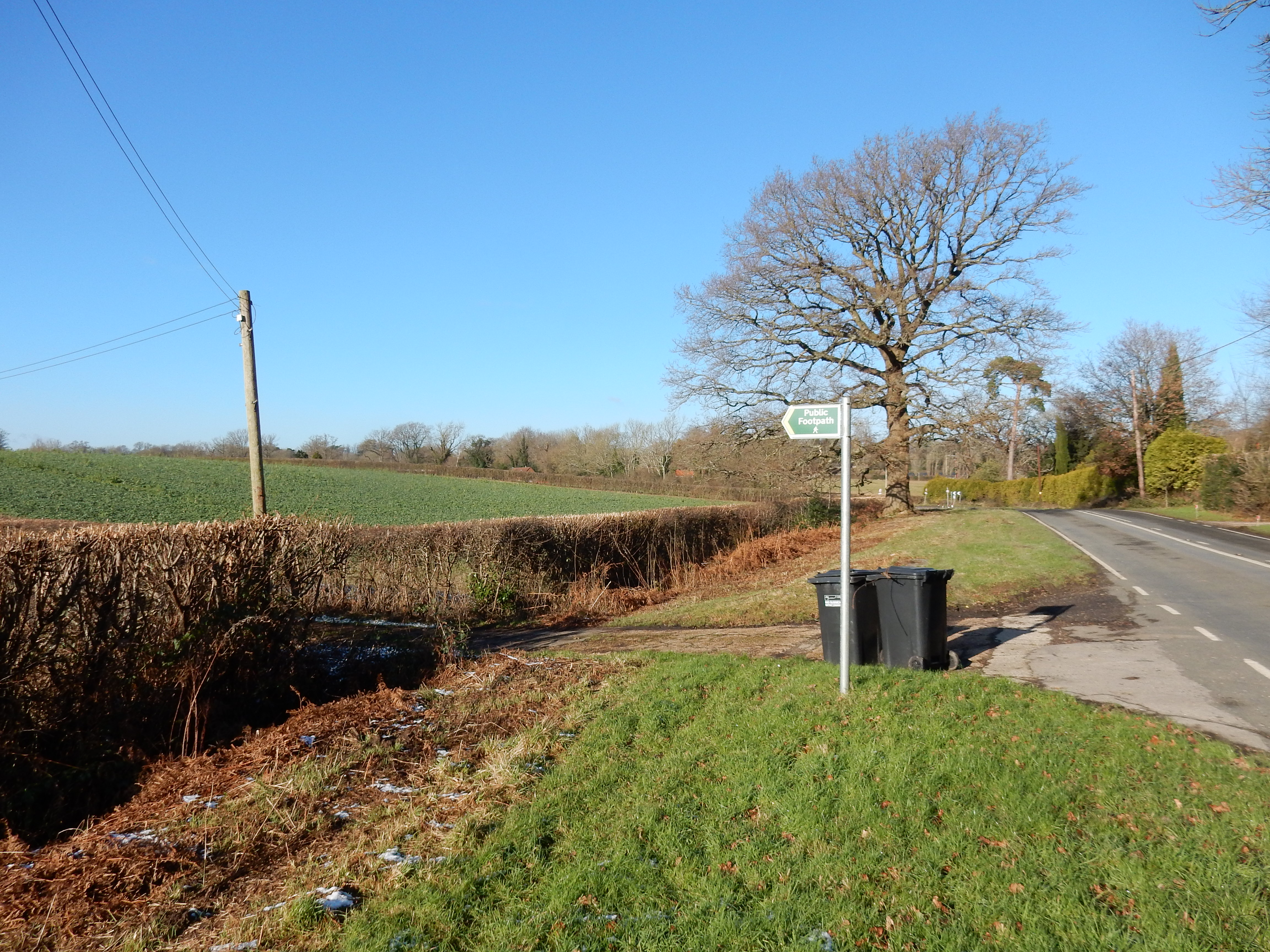
The B2114 Cuckfield Road crossing the Ouse has good verges and, in any case, comprises only ⅓ mile of the route. The sign for the left turn off it is much clearer than those at Little Ashfold, where I take advice from a local employed full time redirecting perplexed pedestrians. My original intention was to have lunch at one of Staplefield's two pubs.[7] By foresight, uncertain that either has survived lockdown, Plan B is a packed lunch. Anyway, the state of my boots precludes admission to all venues of class.
The trek of one mile westwards takes me to lunch in Slaugham, but I note the point at which it dives under the A23 as one that will be used on a walk planned for later this year. Good news: a new seat has been installed outside St.Mary's. Cheers Chuck. Although it does not appear to offer comfortable repose today, I arrive prepared with an inflatable cushion (much preferred to slush by my derrière). Slaugham village is small, but very 'chocolate box', and without the traffic issues that other boxes in Surrey endure. Its Union Jack flag flaps around with increasing hysteria. My fingers drop off, one by one.
Arriving in Coos Lane I am obliged to consult GPS to decide on a right turn. The ensuing fit of impatience leads me to overlook the left fork seventy yards north. It's a costly error, unnoticed until I reach the B2110. This road, although it has reasonable verges, carries fast traffic. With daylight failing, I am not comfortable. The diversion avoiding the large obstruction called the Hyde Estate [8] is no longer the judicious course it should have been. Worse is to come.
The High Weald Landscape Trail continues north west for a mile along Carterslodge Lane. before continuing on from the turning for Newstead Farm. This, I think, is the longest private road I have come across on a walk but, hey, it's mostly concrete 👍
The 90° left just before Grouse Road reveals the underlying chalk beneath topsoil that is alarmingly thin in places. Rain, rain, go away. Well, St.Leonards Forest now looms ahead. Later study of the map confirms that the Landscape Trail is used by the OS only for another ½ mile before turning right along the Frenchbridge Gill path. This, like almost every other landscape feature in the forest, is given a water themed name. I'm in trouble, aren't I?
You've already heard a moan about derelict rights of way. The OS route through St Leonards is somewhat similar. At several points I am unable to reconcile what the GPS tells me with the OS route data. On top of it all, there have been recent logging operations. The heavy plant driven across waterlogged terrain leaves some paths effectively blocked. Others have walker-welcoming 'DANGER OF DEATH' signage added. Lovely. Anyhow, at this point I take a right turn and arrive at Combe Bottom, where I face a trudge back up the hill (that I have not the time for). By now, I am well into the Twilight Zone, with less than an hour before my train departs.
Of the remainder of the walk, there is little to say, largely because I can see little. If you ever need to cross the A264 when rush hour is nigh, then I recommend leaving adequate time for that adventure. Well, I reach Faygate with six minutes to spare. On a six hour walk, that is called 'cutting it fine'. Am I sorry to have set out on this sludge splash? No, if I'm older but wiser then it's a deal.