
Parametric data
-
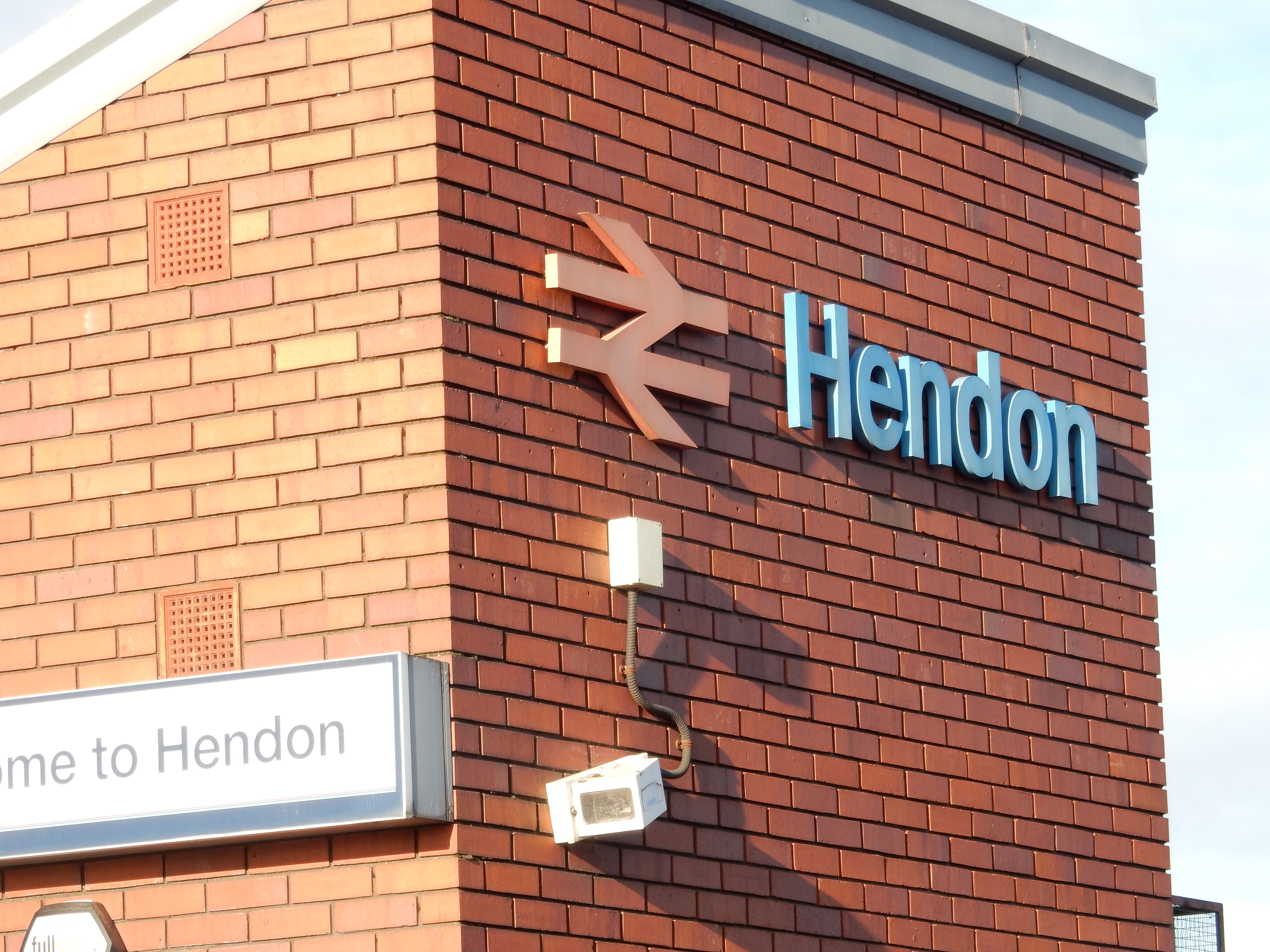
Route name:
Hendon tube to London Bridge. -
This route on OS maps:
https://explore.osmaps.com/route/14968224/ ... . -
Distance:
11 miles. -
Duration
5.0 hours. -
Topology:
Point to point (8.4 miles SouthEastWward). -
Ascent:
189 metres, over Parliament Hill, for the most part. -
Stiles:
0 (zero). The series of rail strikes might be viewed as a metaphorical stile. -
Landmark of note:
My first crossing of the Millenium Bridge. My life is now complete. -
Feasible excursion:
Use the Edgeware Road.[exc] -
Avoiding roads:
 Footways a-plenty.
-
Footpath construction:
 Bits of Hampstead Heath are dirt.
-
Footpath condition:
Half of London is employed to bag up the wet leaf.
-
Refreshments:
Too cold now for al fresco refuelling. So, lasagne at Map Cafe in Grafton Road. -
Vistas:
 Parliament Hill doesn't get a thumbs up from the OS.
Not shown as a viewpoint. OK ...
Parliament Hill doesn't get a thumbs up from the OS.
Not shown as a viewpoint. OK ...
I reached the Millenium Bridge well after sunset, so it did not count. -
Blackberries:
 Don't forage in London.
Route map.
Route notes.
English coffee tastes like water that has been squeezed out of a wet sleeve.
We are rapidly running out of 2022, and I should be writing cards rather than walking North London. Never the less, Hendon it is; and where better to buy presents than Brent Cross? The answer is "just about anywhere else", really, because I have to carry what I purchase for the nine miles further to London Bridge. Logistics were never my strong point. The Centre isn't even good for a peedestrian break; the loos being located (typically) as far from an entrance as they can be.
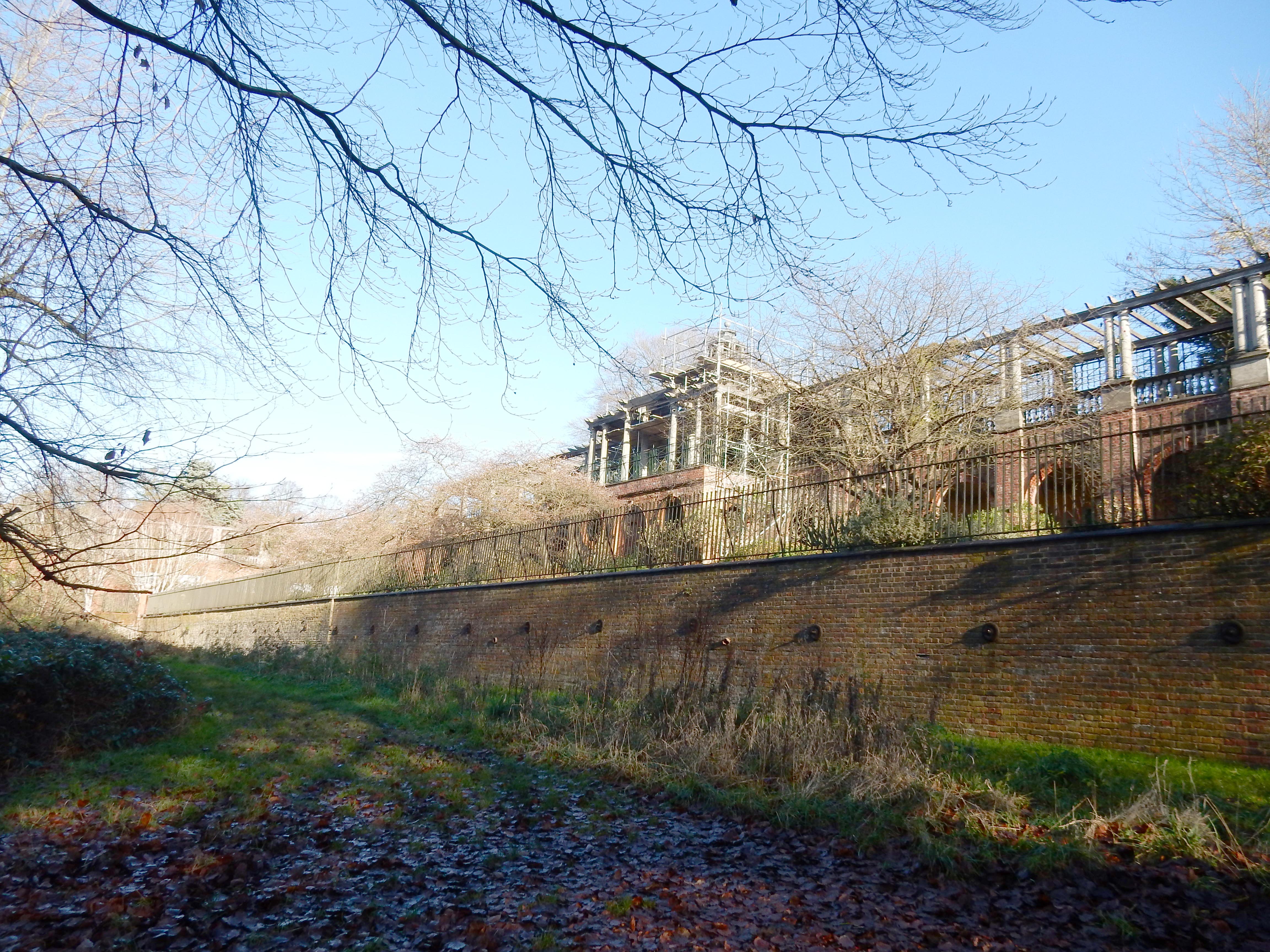
I certainly shan't be buying anyone a short stretch of North Circular, but that is about all else that you walk for the first 2½ miles, apart from residential back streets. This is a heavier dose than I receive on most of my London walks. It continues until Golders Hill Park. You may suppose this sculpture, ' Pipedreams', to be a bit of left-over sewer. Don't blame me; I'm not the sewage. Also owned by The City, this rather singular structure, half hidden by scaffolding, is The Hill Garden and Pergola. Had I time to explore it, then I might have discovered who was bonkers enough to design a pergola supported by a hundred classical columns. Mad, I tell you.
After Golders Hill my navigation goes to pot. I fail to spot the overgrown and unsignposted path leading into Hampstead Heath proper. I blunder down Spaniards Road and then become lost in the maze of paths and tracks criss-crossing the Heath. After half an hour's head scratching an idea strikes me: take in the view from Parliament Hill. I know which direction that must be - up. Curiously, what counts as the finest view of the capital is not acknowledged by the Ordnance Survey with a blue 'viewpoint' symbol. What are its criteria, I wonder? Anyway, the unintended diversion is worth the effort. On the middle horizon see The Shard, immediately behind which lies my destination. I zoom in to confirm the identification, and make out the dome of St.Paul's just in front of it. The forest of cranes in front of both is development around King's Cross, through which I pass shortly. The large tower to the right is Guy's Hospital. An angle of about one degree separates it from The Shard in this view from Parliament Hill. The aircraft navigation lights on the Shard and the cranes are a distinctly visible reminder to me that remaining daylight at this time of year is not abundant, and that only half the walk is complete. Better press on.
After a hop over the rail line leads into Belsize Park, its northernmost Victorian housing largely left intact by the Luftwaffe, the architecture for ⅔ mile along Grafton Road shows more frequent stretches of 1960s infill. However, I stop for lunch at the Map Cafe where circulation in my fingers (which froze on Parliament Hill) is gradually restored. Properly thawed, I continue down Castlehaven Road in Kentish Town. Until 1938 this was called Victoria Road. At number 30 a maternal gt grandmother, Alice Mayhew, was born. The numbering scheme is likely no guide today, and few houses appear to have stood since 1858. I have already mentioned the town planners responsible. Here is a terrace that does look the part.
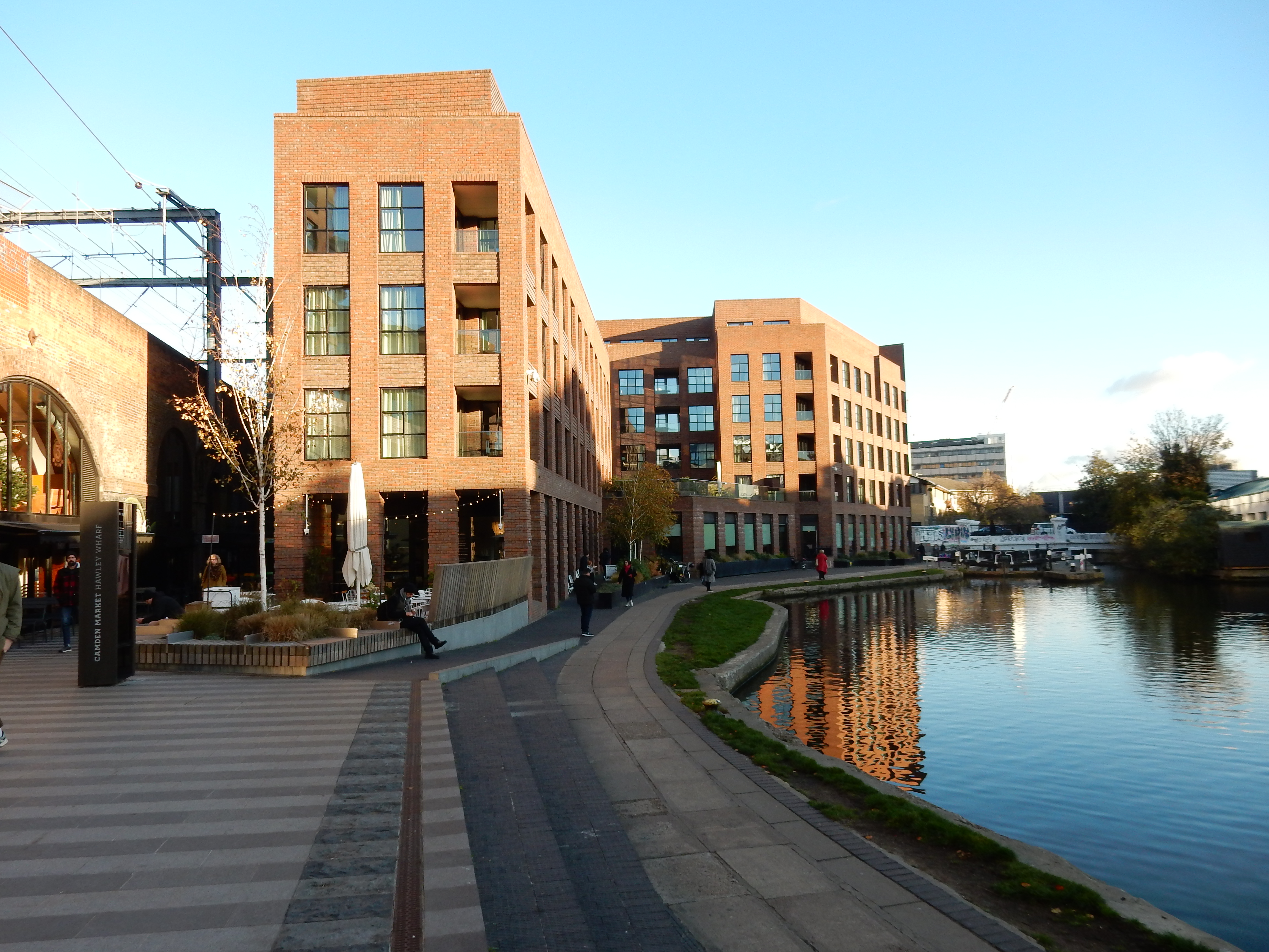
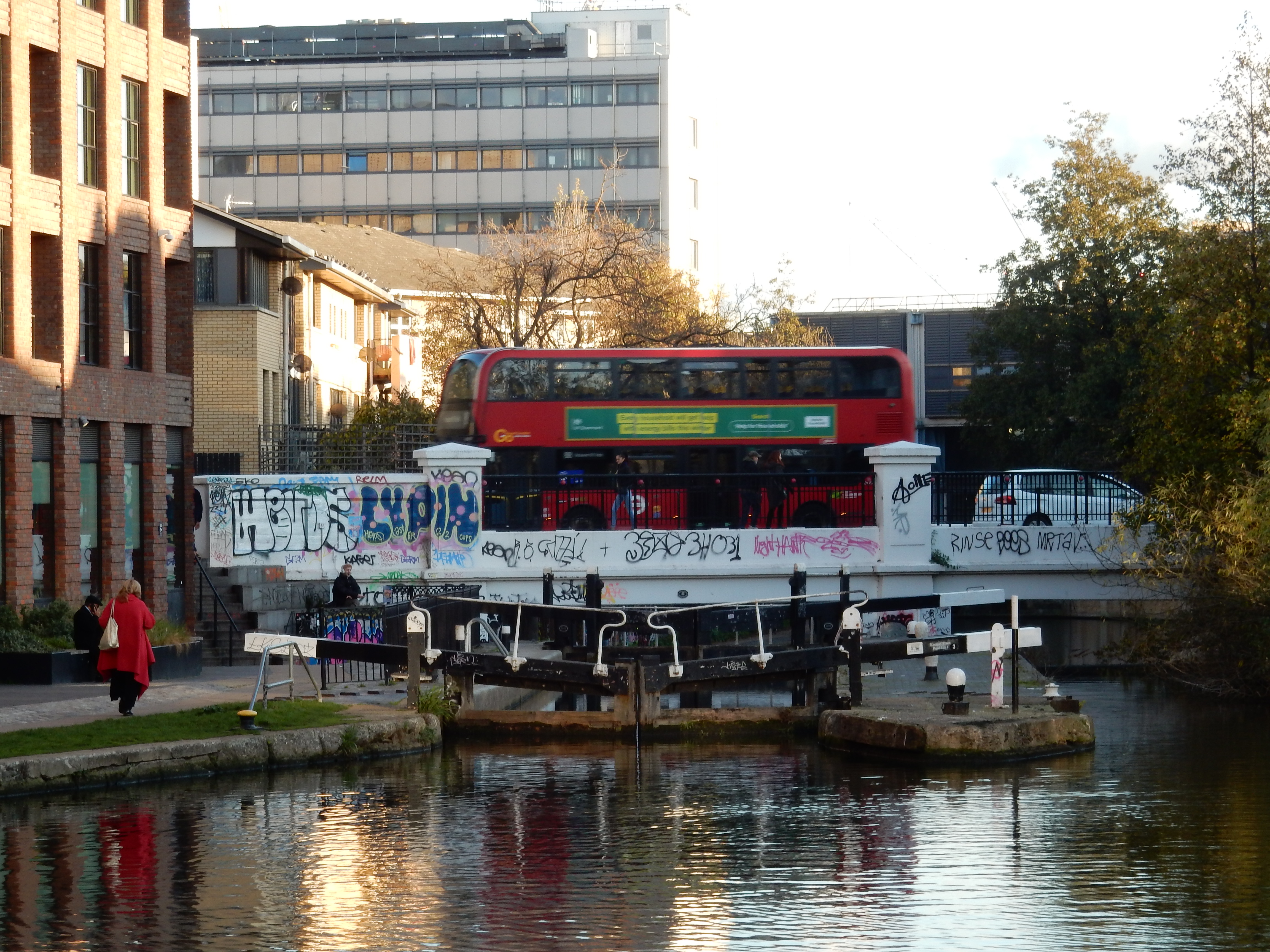
A dive under the arches takes me to Hawley Wharf on the Regents Canal. This section has recently been redeveloped, along with much else in the vicinity of King's Cross. The grim, 70s accommodation that was here is now replaced by even grimmer 2010s blocks. The next mile or so is north-side canal towpath past lock and under Bridge. There's clearly scope for a future walk taking in the whole nine miles. Leave the canal, though, just before the lines into King's Cross. I note, for the first time, that these had to tunnel under the canal: a significant engineering feat.
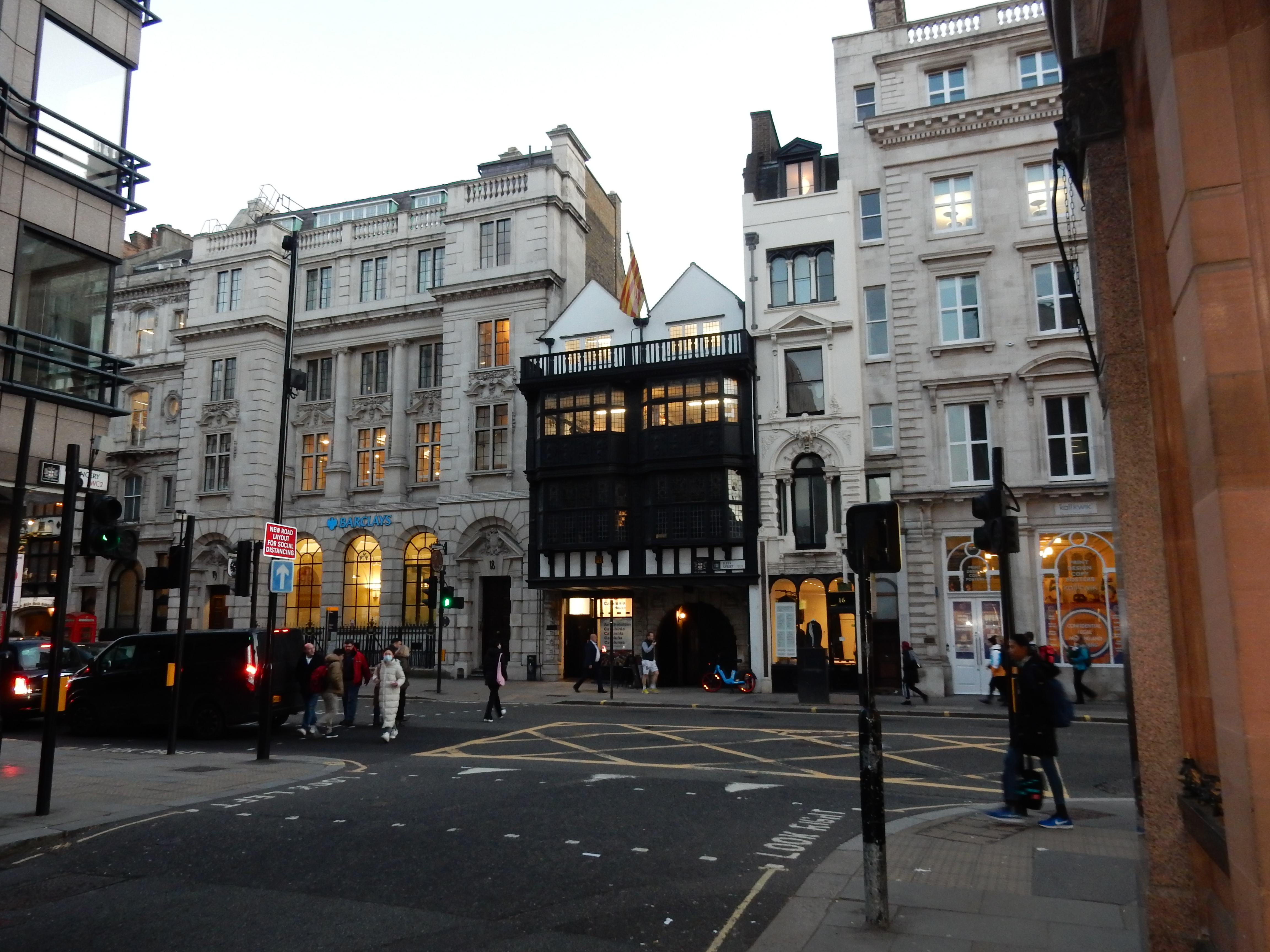
If it is transport that you need then King's Cross / St. Pancras is not too bad. However, if you want coffee then it is practically unbeatable. Three thousand tourists can't be wrong, even in December. The OS route southwards through Camden is, to say the least, complicated. You really need an A-Z because GPS (mine, at least) does not cope with narrow alleys between multi-story buildings. The succession of town squares, such as Brunswick Square, are doubtless worth exploring at leisure. Unfortunately, the light is already fading, and exploration must wait another day. He that is tired of London should have purchased a better GPS. Witness the geotag (not) obtained at the junction of Chancery Lane and Fleet Street
Walking past the Globe, I seem to catch a line of dialogue: "Shall I compare thee to a Summer's day?". Well, I might have done if both ears had not dropped off due to frostbite.