Parametric data
- Route name:
- HurstGreen
- Start point:
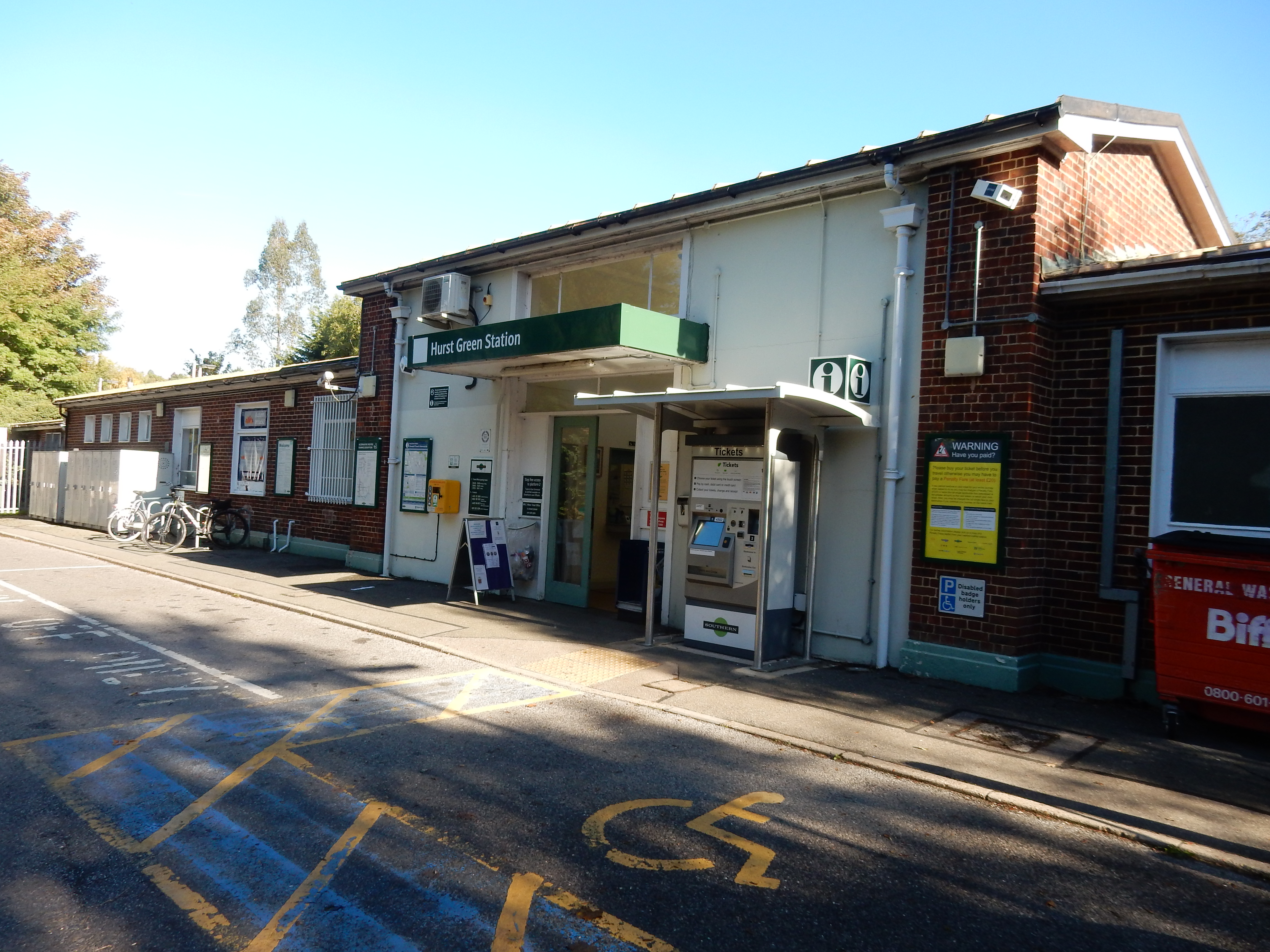
- Hurst Green.
- End point:
- Redhill.
- This route on OS maps:
- https://explore.osmaps.com/route/14419159/ ...
- OS Explorer sheet ref(s):
- 146.
- Distance:
- 9.3 miles walked, 6.4 miles flown.
- :
- 4.5 hours.[1]
- Ascent:
- 175 metres.
- Stiles:
- 0 (zero).
- Landmark of note:
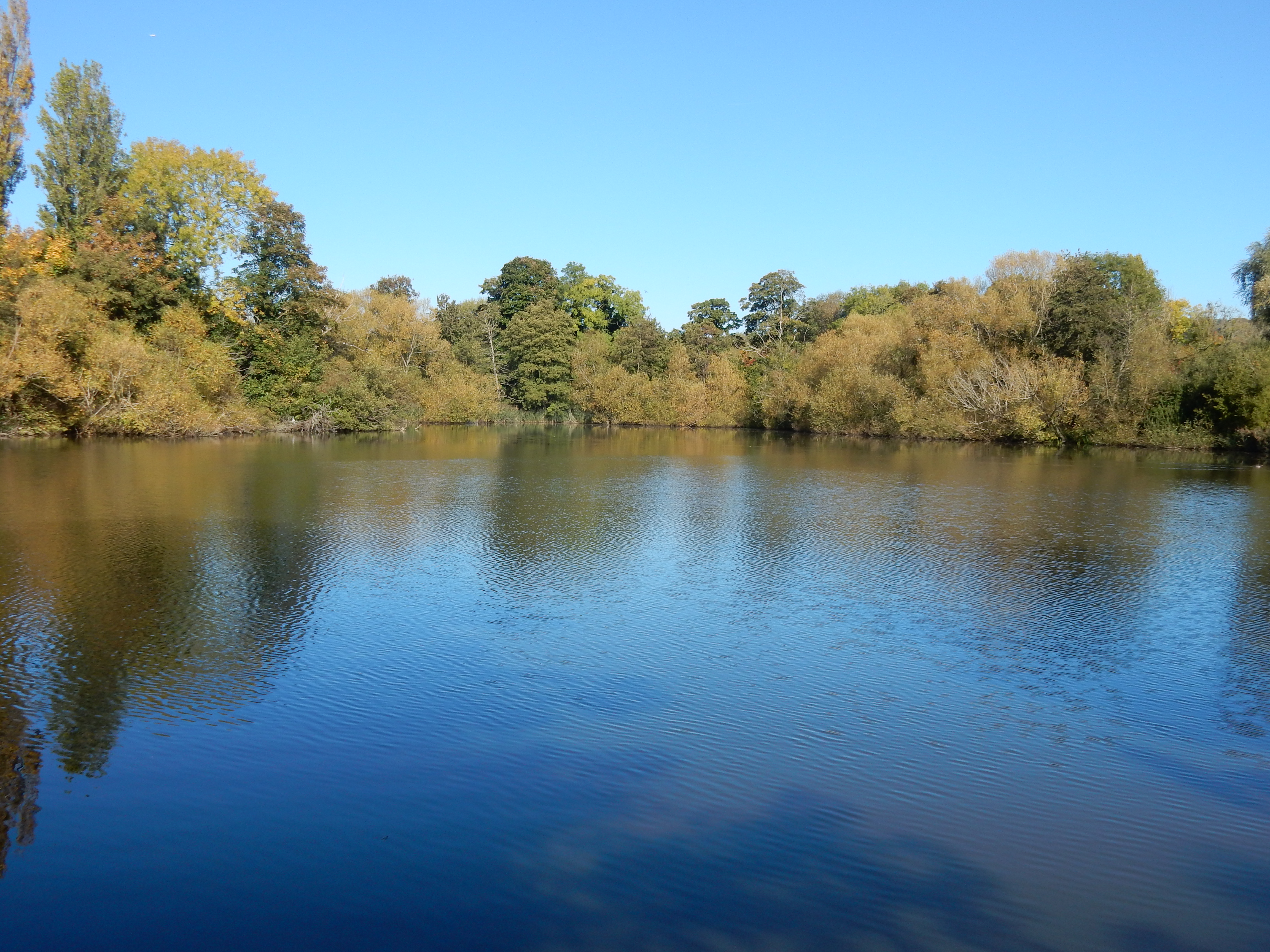
- My first visit to: Nutfield Biodiversity Park The public path affords the odd glimpse of the lake and its wildfowl. Binoculars are handy.
- Feasible excursion:
- After leaving Croydonbarn Lane it would be better to bear west towards the church at Horne and then reach Outwood from Hornecourt Wood. Another day.
- Waypoints:
- Tandridge, Leigh Mill, Church Town, Godstone, North Park, Pendell Court, Warwick Wold.
- Refreshments:
- Coffee from Track 1 Coffee. Packed lunch on the Green at Godstone.
-
: -
 10°C,[2] ⛅️ No rain, at least.
-
Avoiding roads: -
About 300 metres of Croydonbarn Lane. For a short stretch
the verge isn't much use but, given the length of this walk,
a 2-banana rating seems niggardly.
-
Footpath construction: -
 Grimy dirt.
-
Footpath condition: -
 Oh dear, oh dear, oh dear.
-
Vistas: -
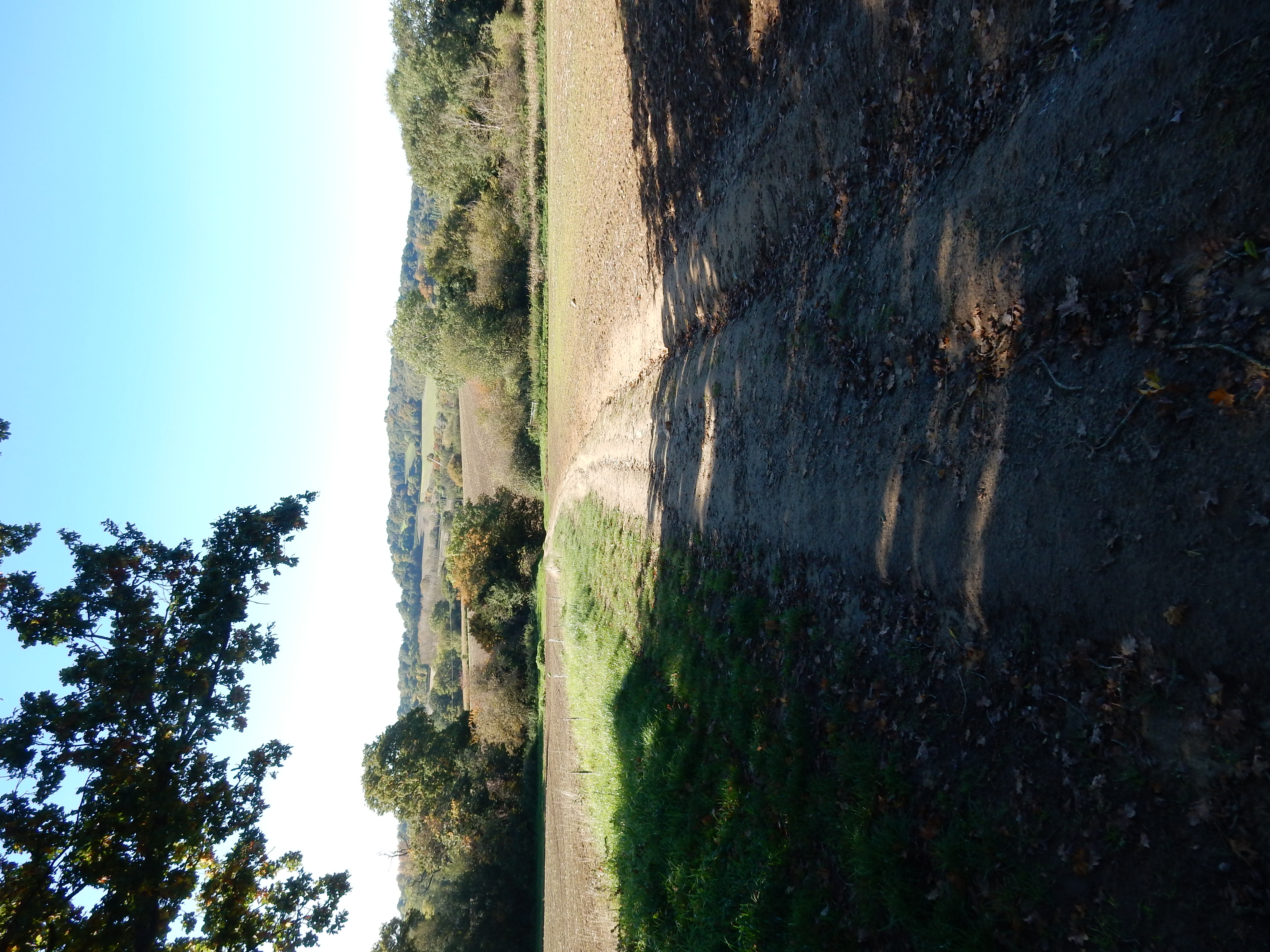
Between Tandridge village and the A22, some attractive
downland, with Tilburstow Hill in the background.
-
Blackberries: -
About three months too late.[3]
Route map.
Route notes.
Then October adds a gale …
wind and slush and rain and hail.
Michael Flanders.
I planned this route in the certain knowledge that the extreme drought of summer 2022 was finito. The wonderful walks down dirt tracks that had never previously been dry underfoot were over. It had rained, on and off, for about a month, and, during early Monday, the heavens opened for hours on end, leaving soggy Surrey half underwater. My resolve was firm: find a route avoiding anything but tarmac ... even the A25, if I had to.
Right, let's look at the map and find somewhere close-ish that ticks all the winter weather boxes. Hurst Green? Hmmm. Not done that before. Well, how hard can that be? True, in this part of the world, the best routes are north-south and therefore of little use on an east-west trek. Yes, there is the A25, but it goes through Oxted, not Hurst Green. Can't stomach a one mile trudge north for no other reason than to find tarmac.[4]
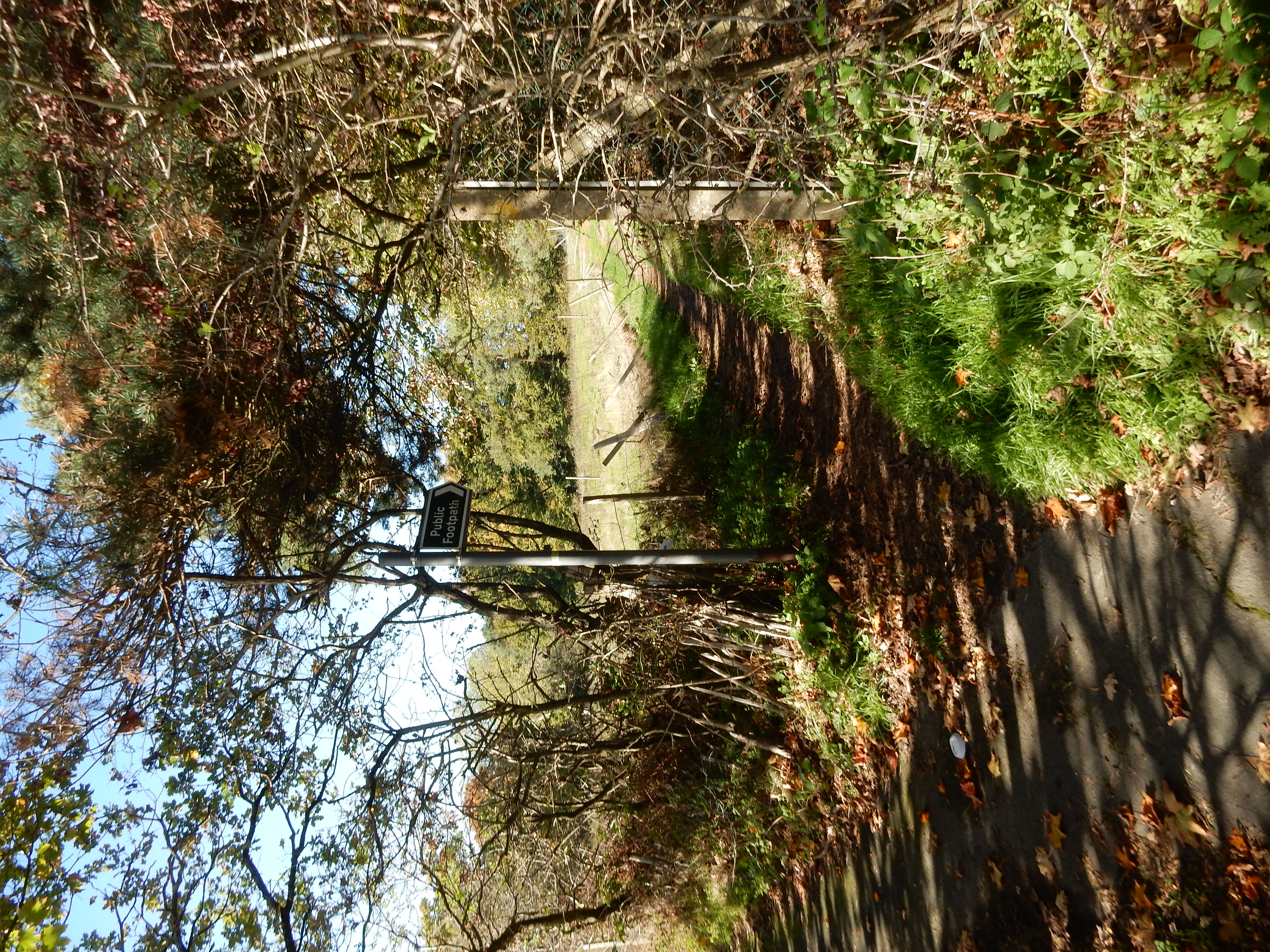
Never mind. Let's just head west and see how far we get. This conundrum is resolved, to no great surprise, ¾ mile out at Broadham Green Road. Gateway to the West? Uhh, no, you're out of tarmac, but look. That footpath, part of the Greensand Way, is just the job to get you to Godstone, surely? OK, it will be dirt but, maybe, the sunshine today might dry it out a bit. It has to be more fun than the A25. Thus does hope triumph over experience.
I was right, though, about the interest factor. During a walk that has gone off the beaten track into remote countryside I sometimes notice that the fence, frequently a nasty piece of barbed wire, is instead fabricated from heavy gauge iron beam uprights and round section cross members. Behind the fence, instead of brambles and scrub, remnants of laurel, rhododendron, pine and cypress grow still. Today, the iron is rusty, and battered by falling trees but, during its Victorian heyday, will have testified to the ability of a landowner to splash the cash (likely 'new money') on his country estate.
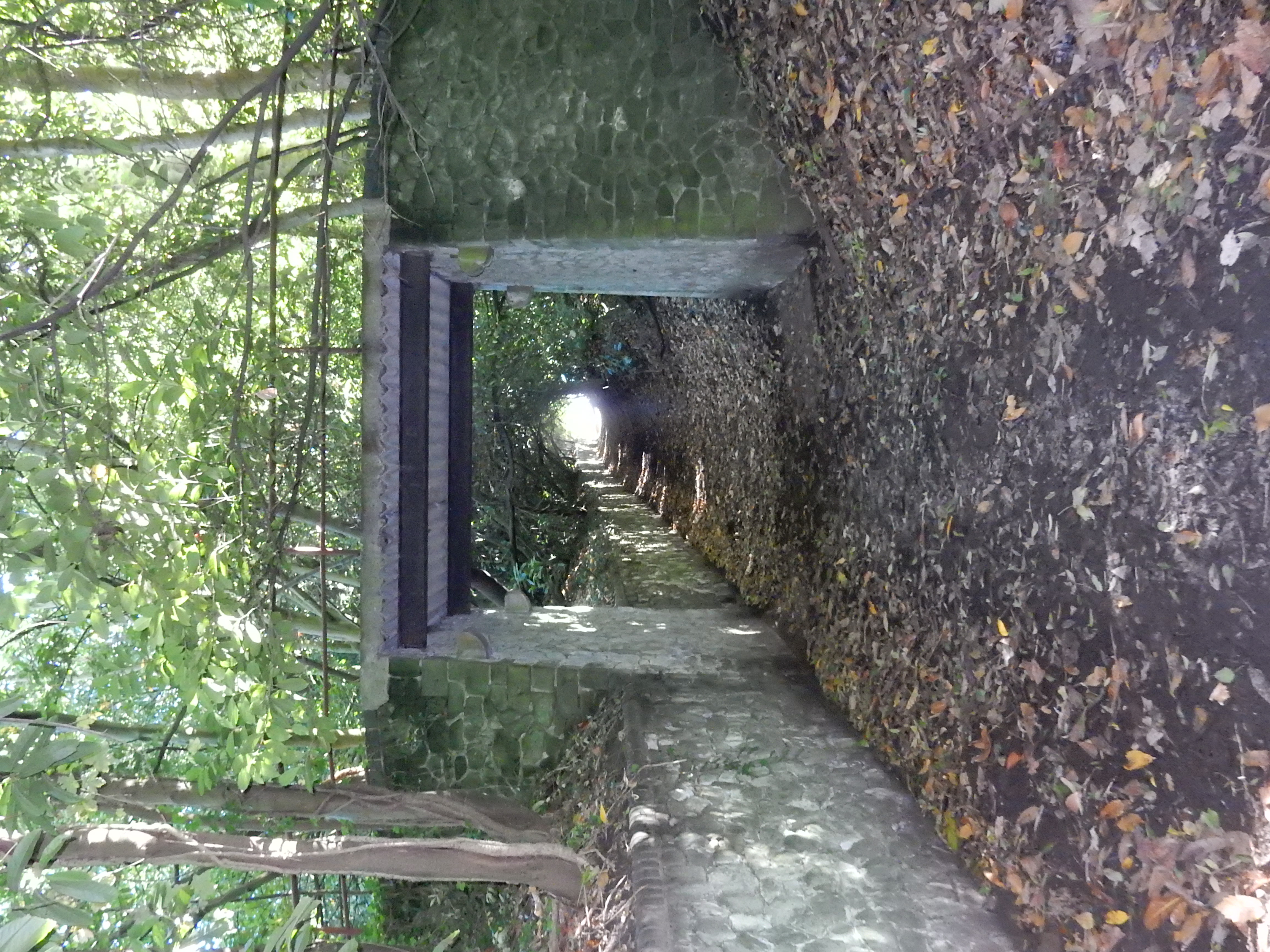
Here also is a little bridge built so that your carriage can traverse the public way above any hoi-poloi impudent enough to be there. Note the four corbels which originally supported a wooden deck. Says Wikipedia Tandridge Court was rebuilt during the ¢20, when the present concrete and steel deck was likely installed. What this then carried to where, and from where, though, is a mystery. A little further on from the bridge the footpath forks left across Tandridge Park, and leaves it by the Barley Mow PH.
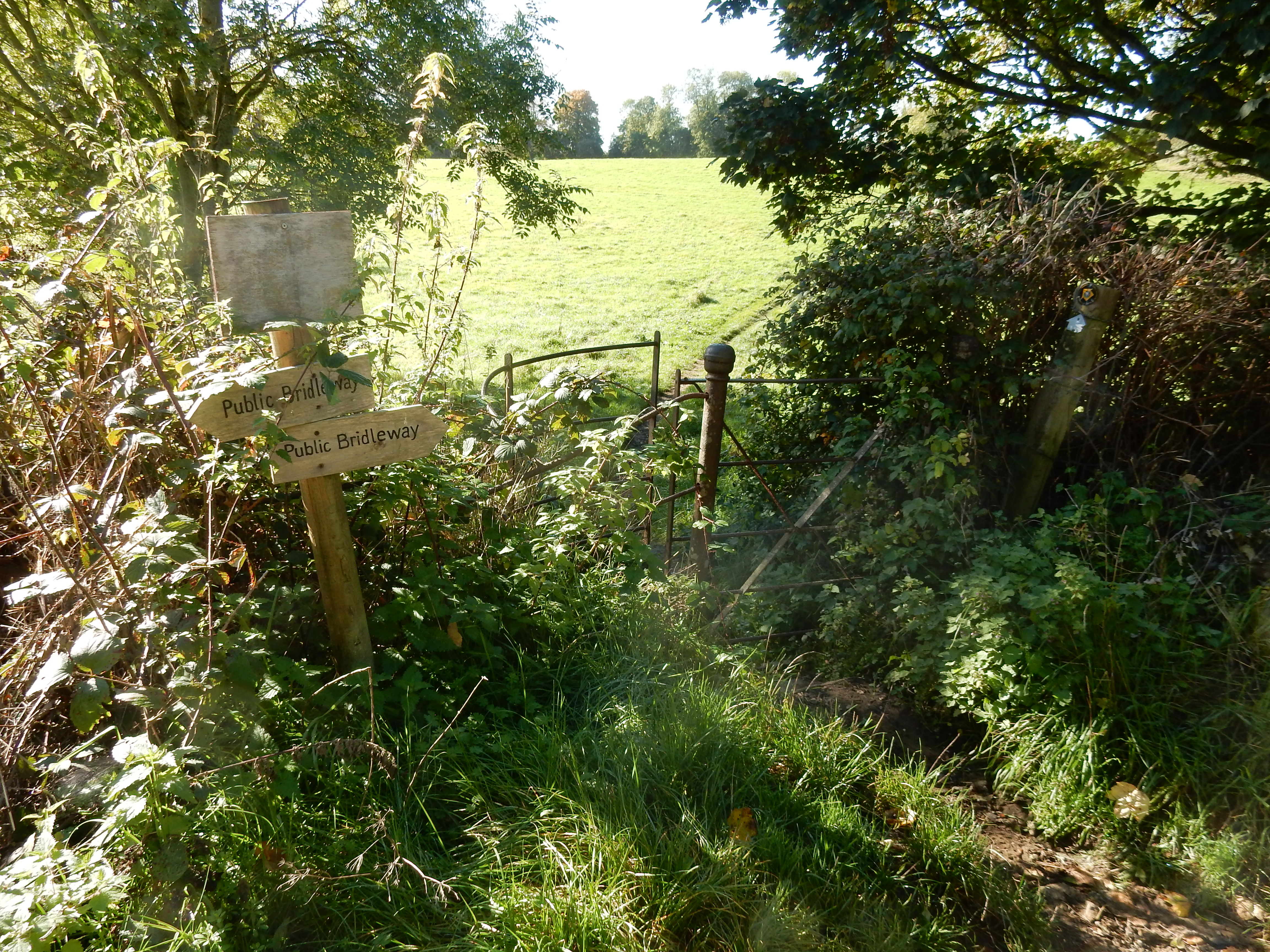
This dirt stretch spans the highest and lowest points of the whole walk before it drifts even further north towards the Downs. A further point of geographical note is that the soil becomes sandier as you go on. West of Godstone, where you pass active sand extraction, you walk on well drained, almost pure sand and can forget about clay and mud for a while 👍
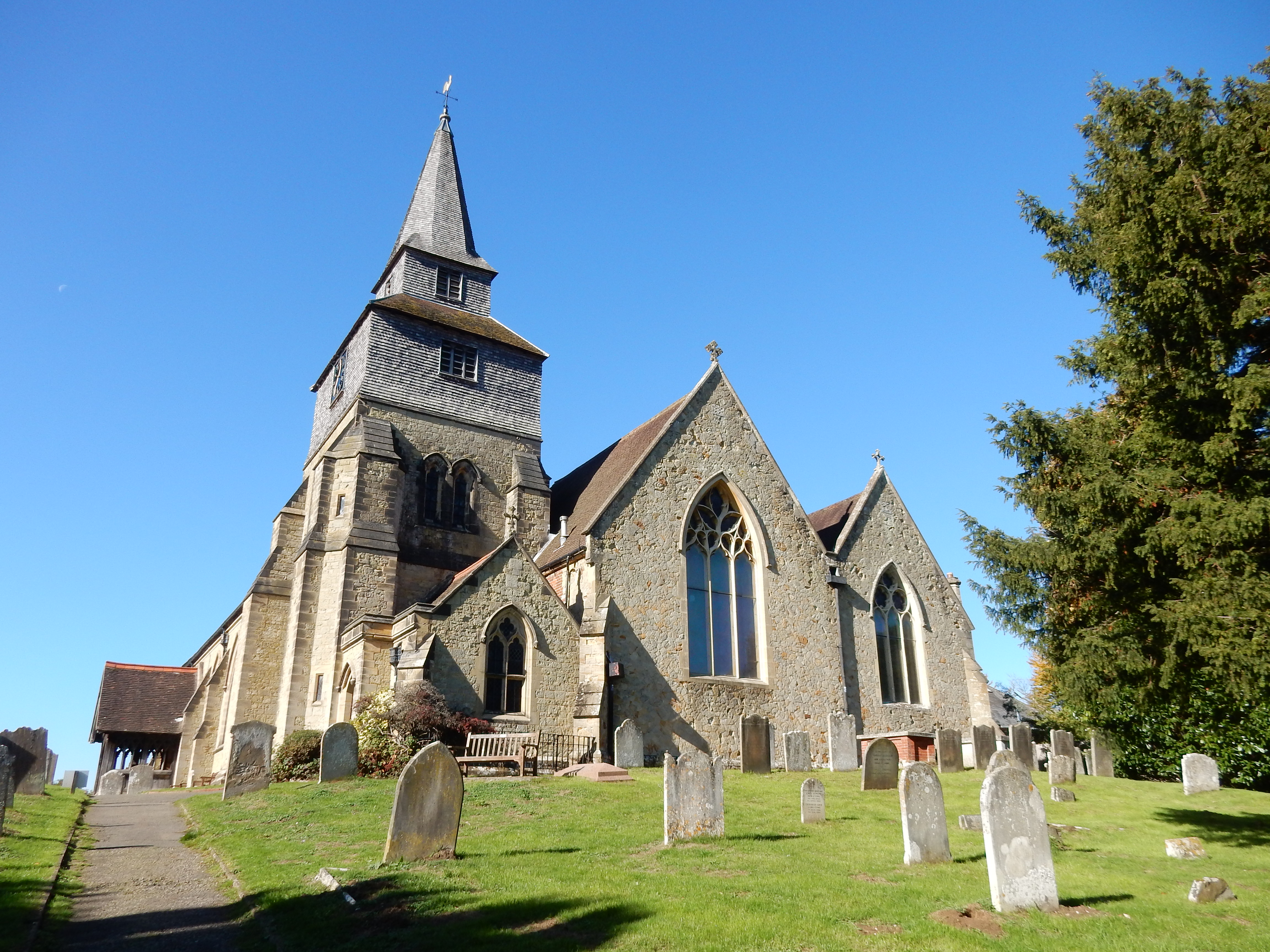
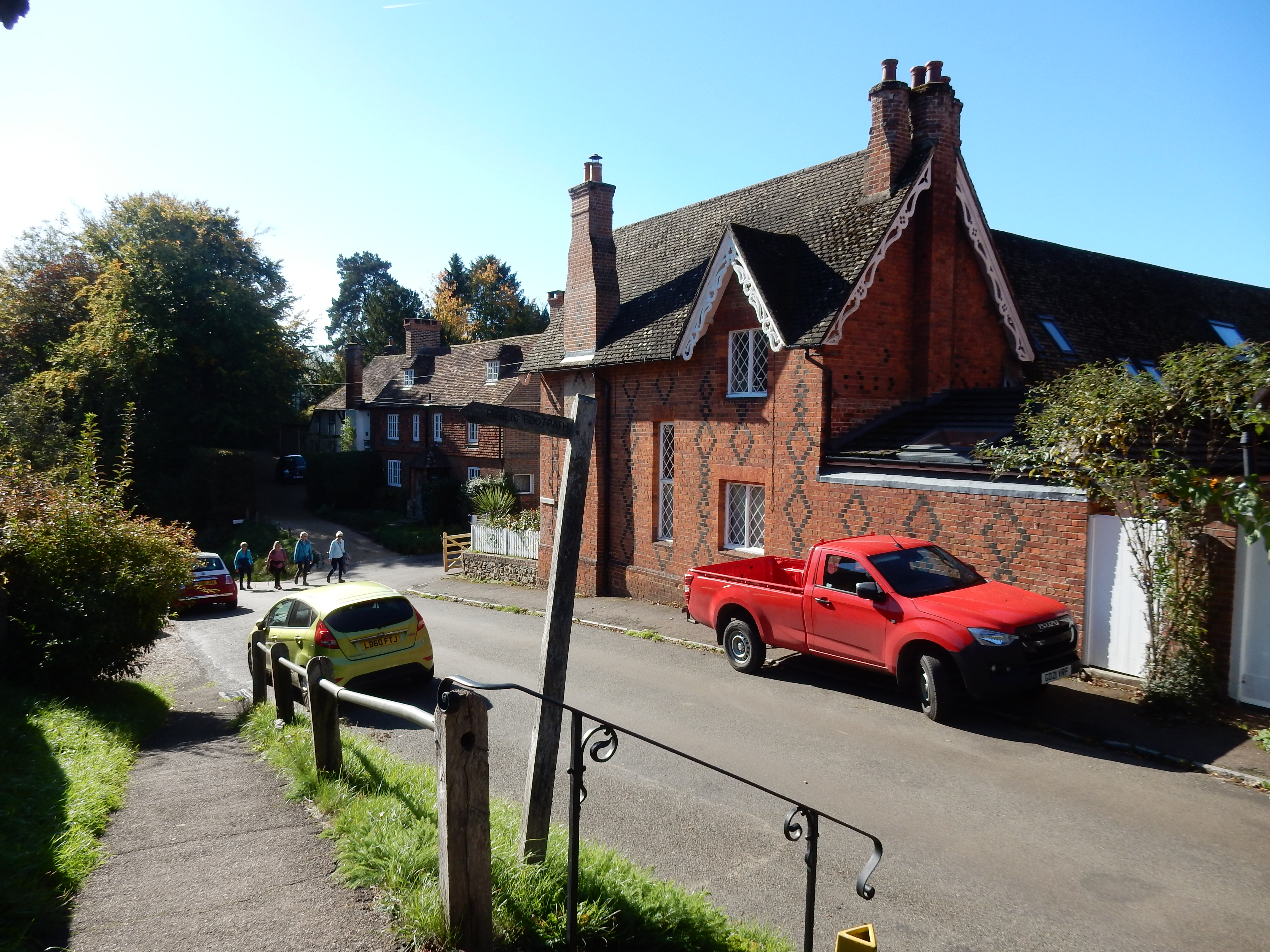
The ½ mile from Tandridge Lane to the A22 affords the walk's best view. Take a good look because, in ten minutes, you will be staring instead at the A22, and wishing that a gap in the ceaseless traffic (even at midday) would give you a chance. Why did the rambler cross the road? To get to Leigh Place. A rather tortuous ½ mile round the back of Leigh Place takes you to the Church of St Nicholas, burial place of Walker Miles. Spare a minute or two taking in Church Town.
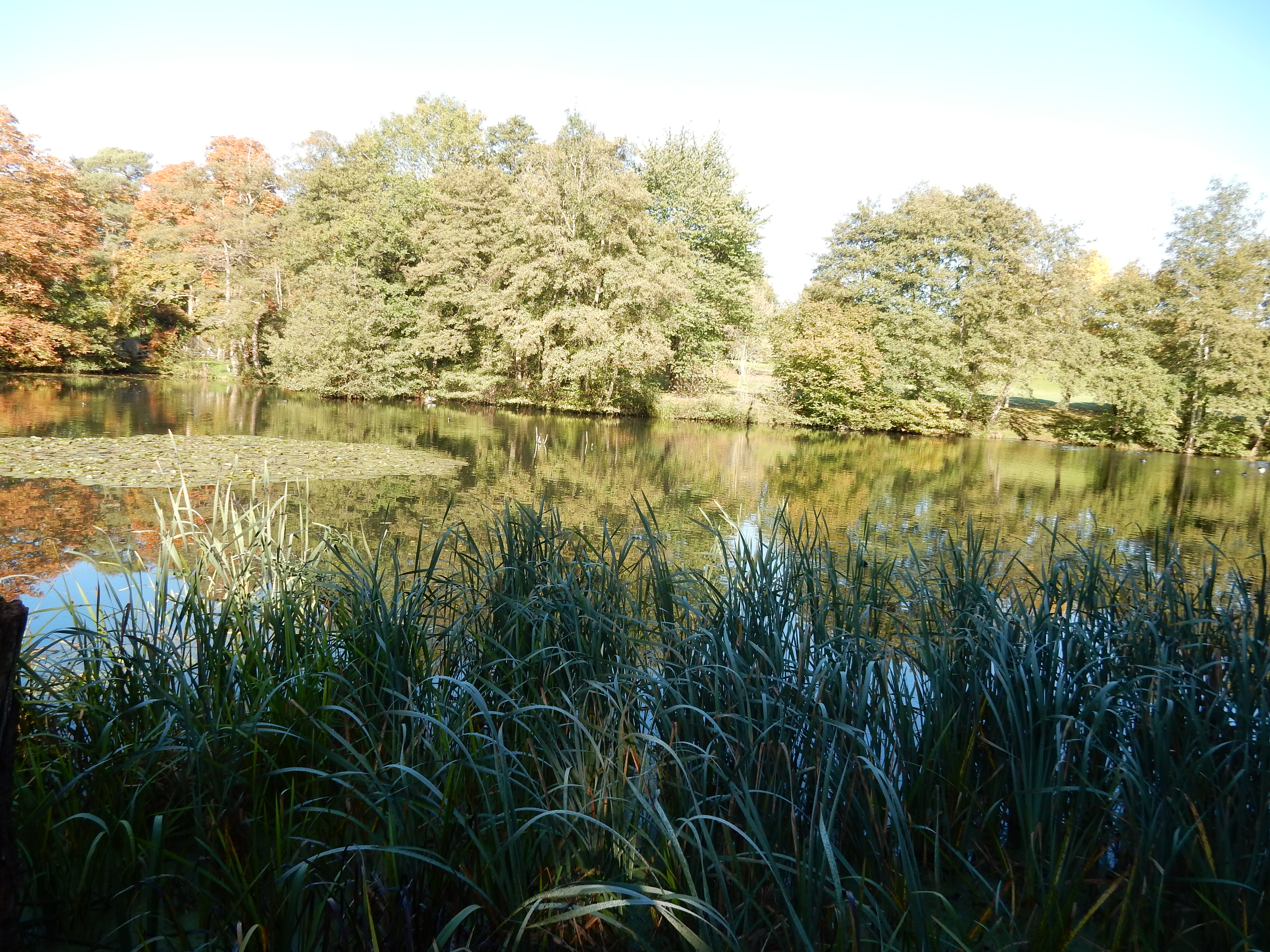
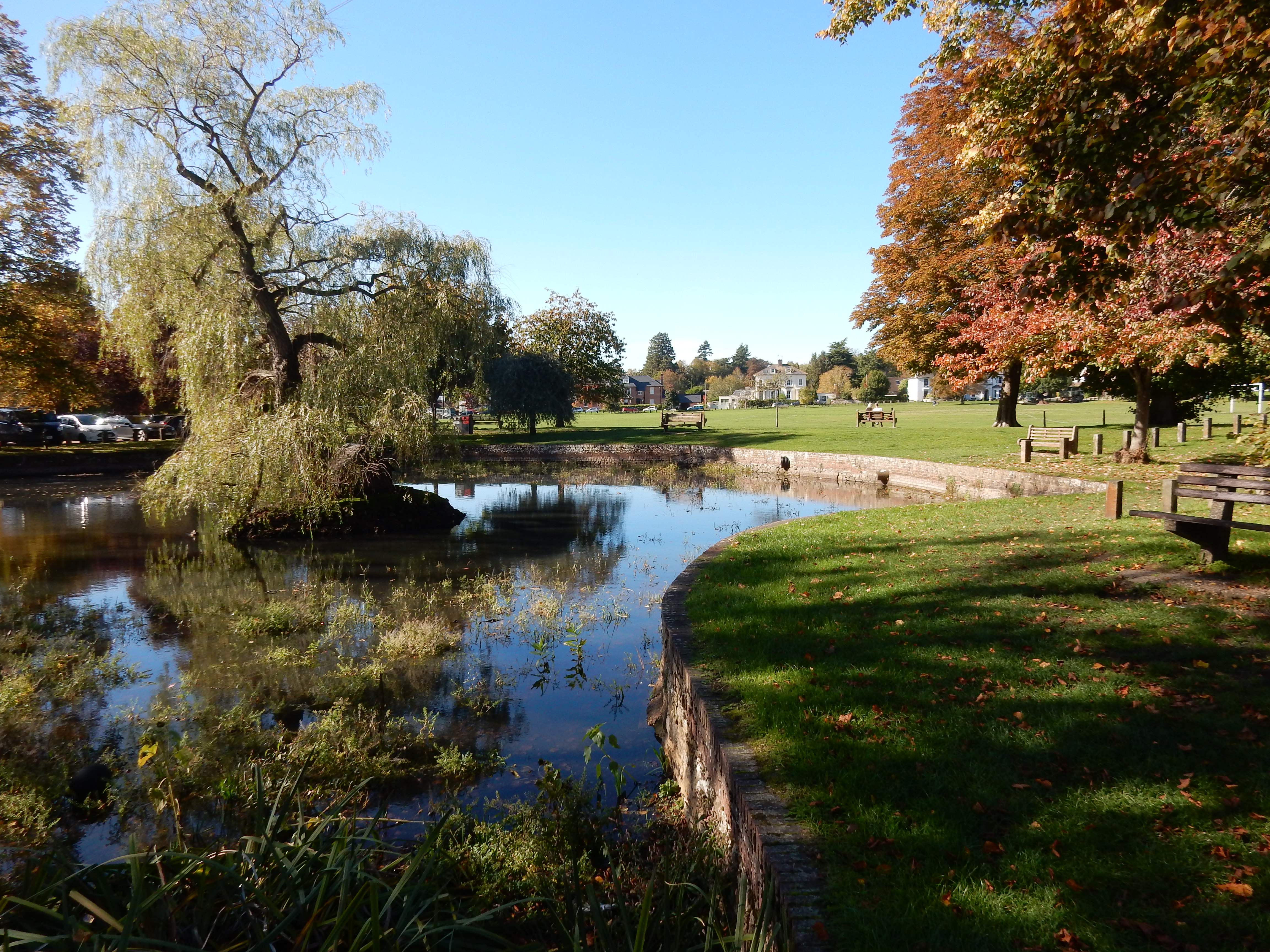
It's almost time for lunch. Perhaps you could roast one of the ducks from Bay Pond? If the Wildlife Trust decrees that duck is off the menu then settle for a sandwich eaten on Godstone Green.
Walks home from Godstone along the A25 are nothing new to this rambler. However, today's route is a novel improvement. A strange one it is for the bulk of its length, in consequence of taking its present route bypassing quarries. Various OS publications still show paths long since diverted away from the works, which are substantial in scale. By the path further uphill are noticeboards detailing the history of the sand works which have moved progressively eastwards over the last eighty years or so, new pits being started as the older ones are worked out. In thirty year's time there will be a huge hole where Godstone Green is now.
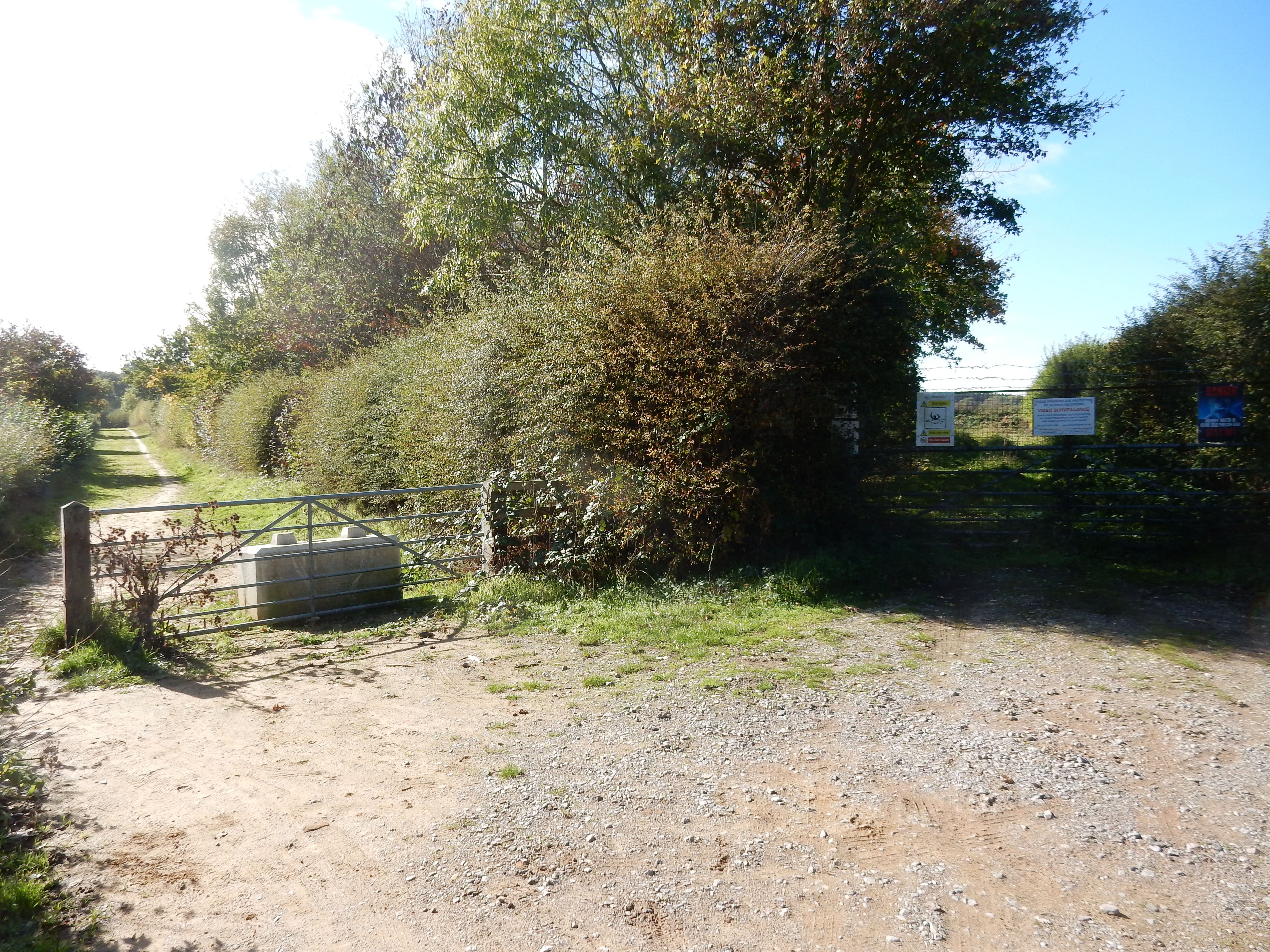

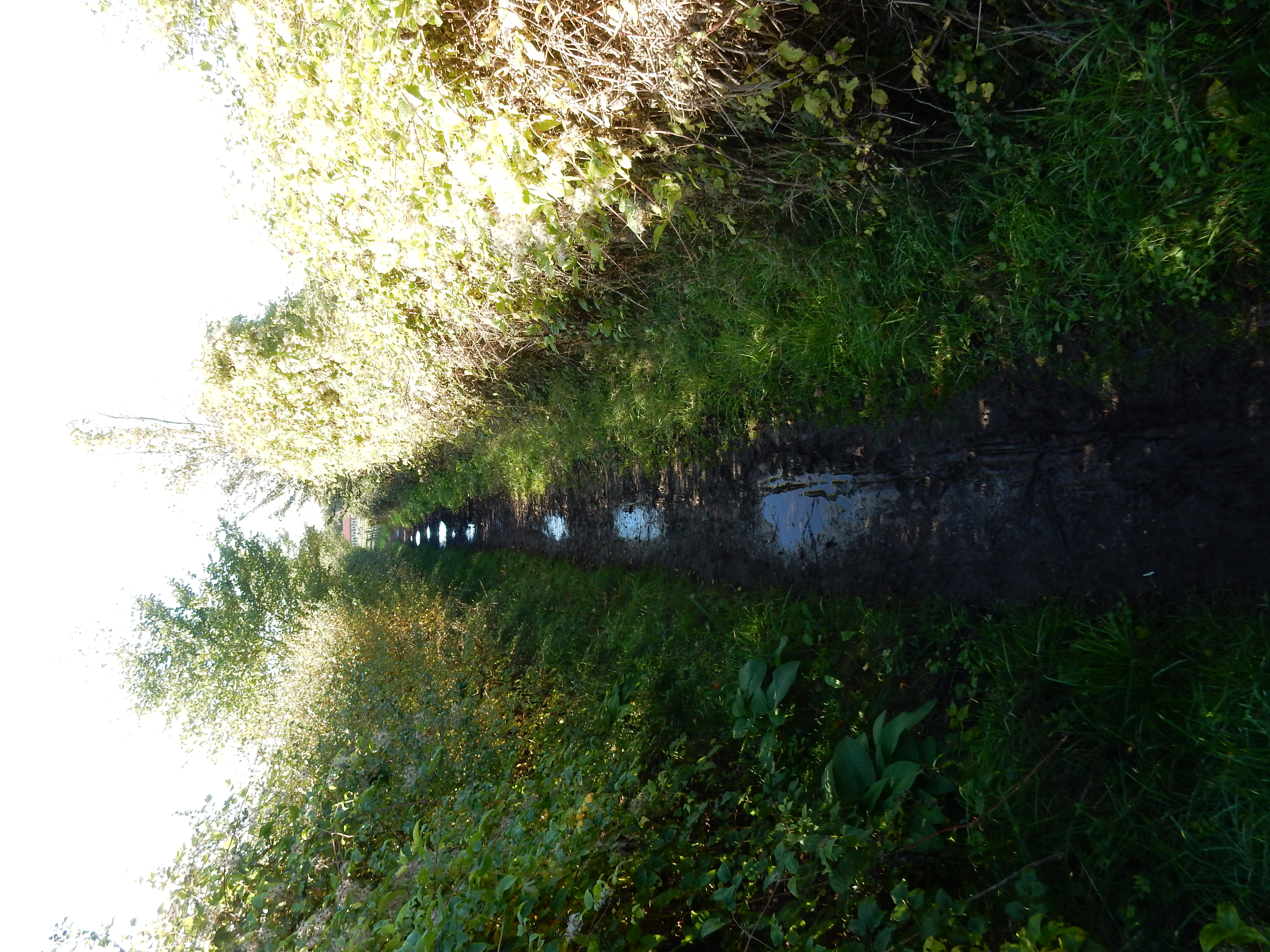
If you don't turn right to see the notice then leave the quarry path there and go along Place Farm Road until it comes out into Brewer Street. You only need to do 140 metres of this, but it is distinctly unpleasant, there being no verge at all for about 20 metres. The footpath resumes at the so called Water Lane. The 'Water' part of the name is good, but 'Lane' is, in my view, something of an exaggeration. If I interpret the OS correctly then it counts as a bridleway. Really? True, Shergar is to be seen grazing in the adjacent field 😒
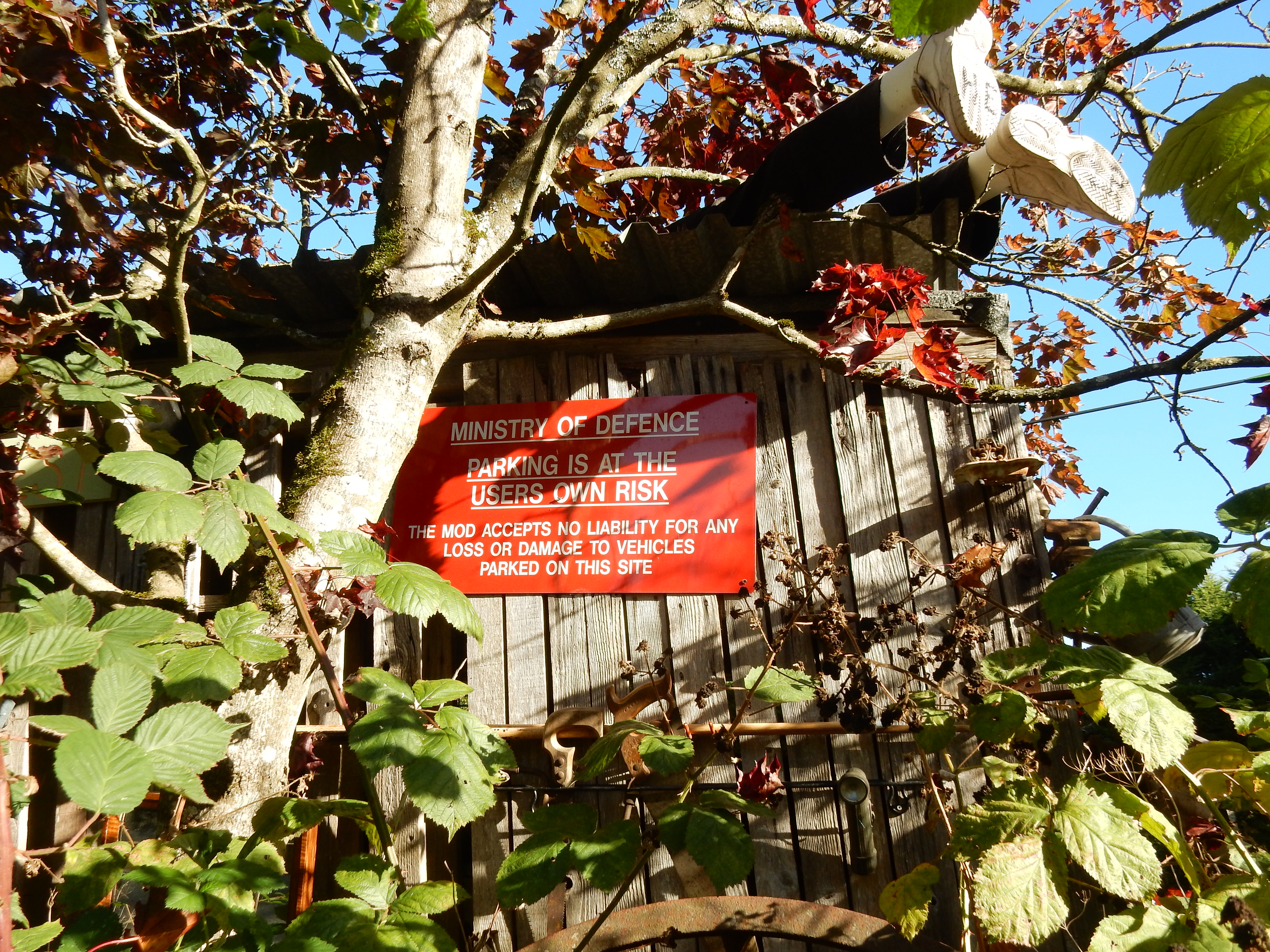
At the end of Water Lane, swing a right around Pendell Farm and head uphill along a much drier and wider track. Wide it may be (as part of National Cycle Route 21), but the MOD still prohibits parking there. You go this way because Pendell Road is a complete no no for walking. Warwick Wold Road also carries traffic but it does have a verge of sorts, which is more than you can say for some of Bletchingley Road. We therefore take another long diversion to avoid same.
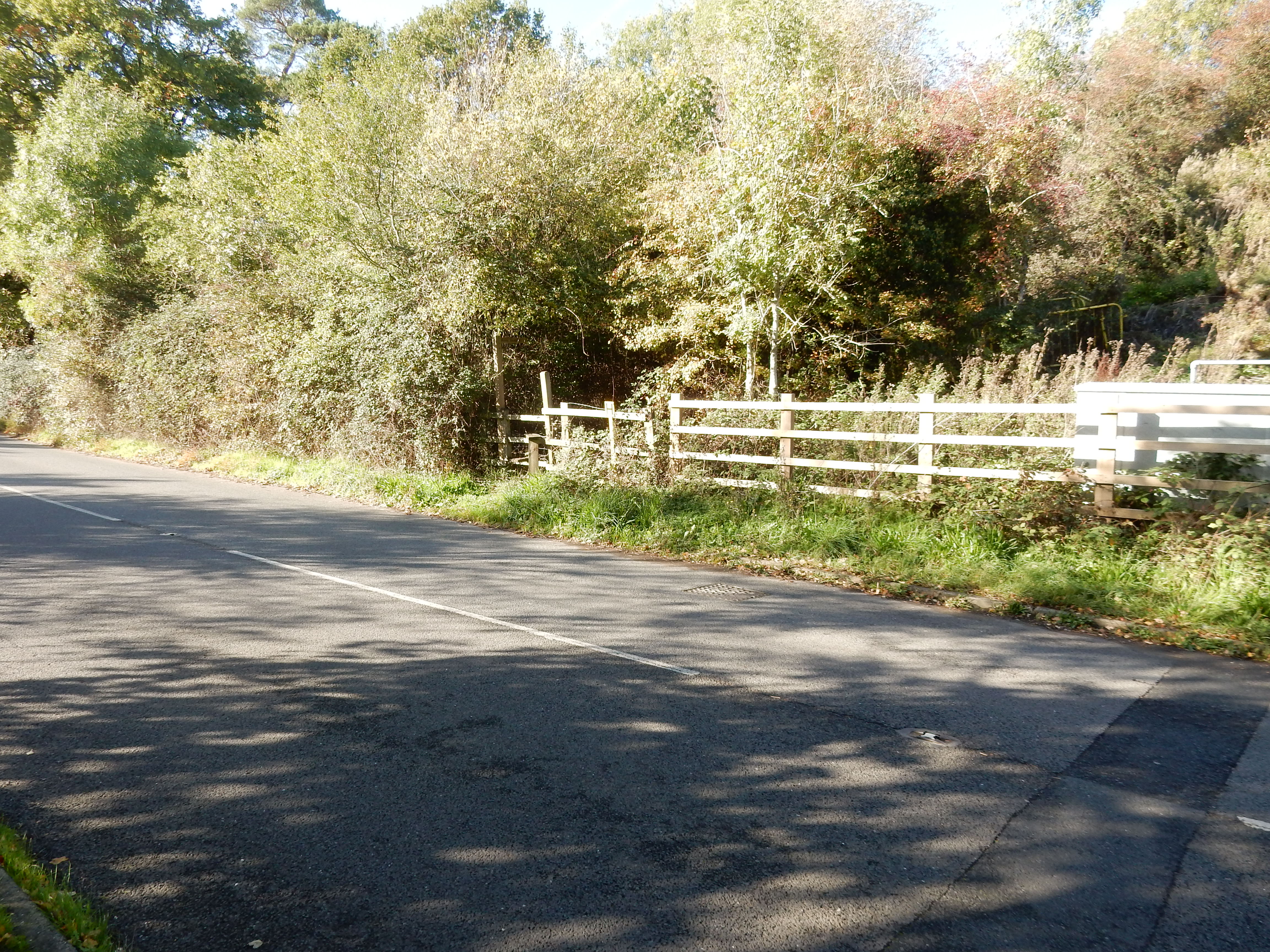
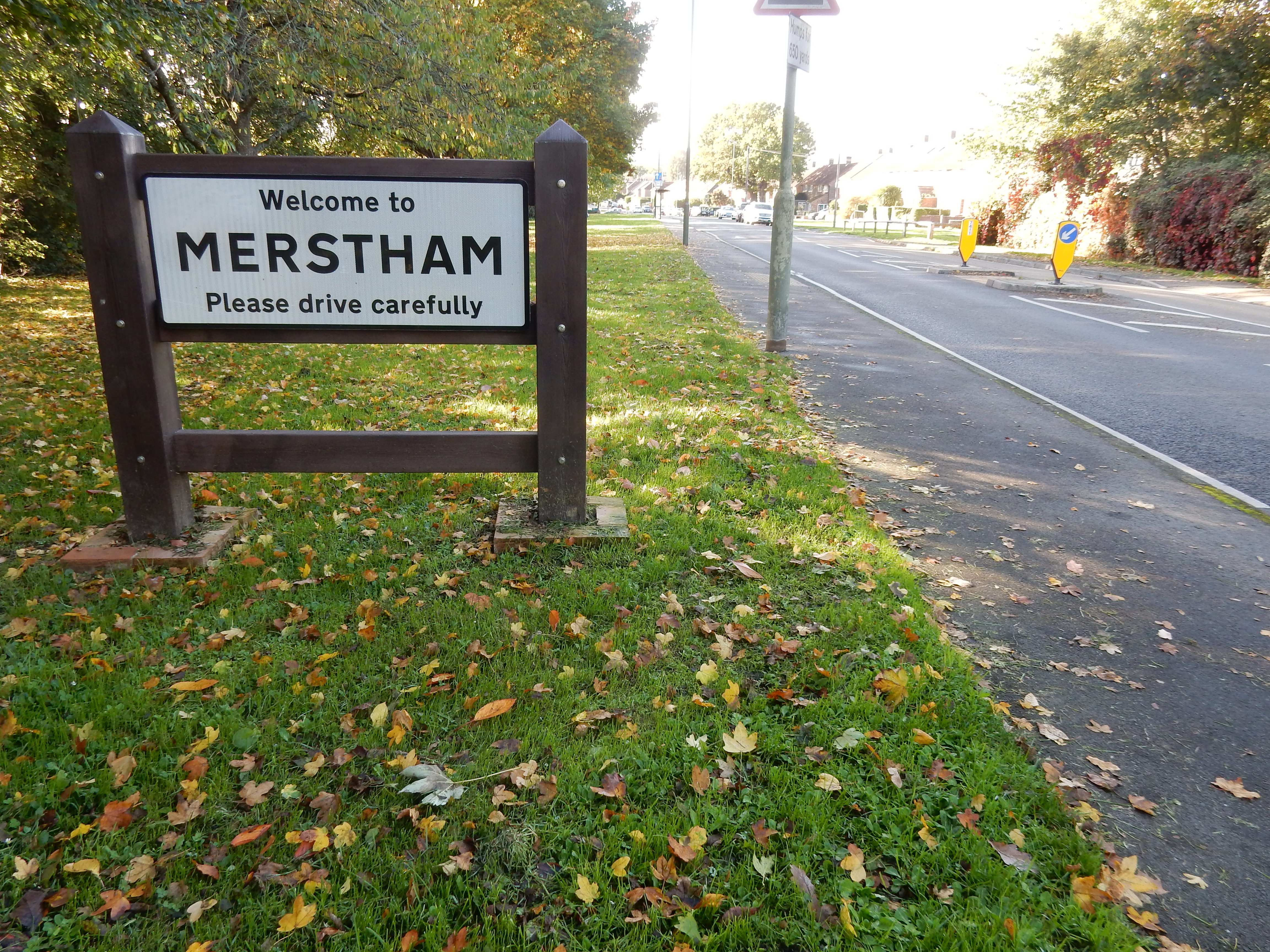
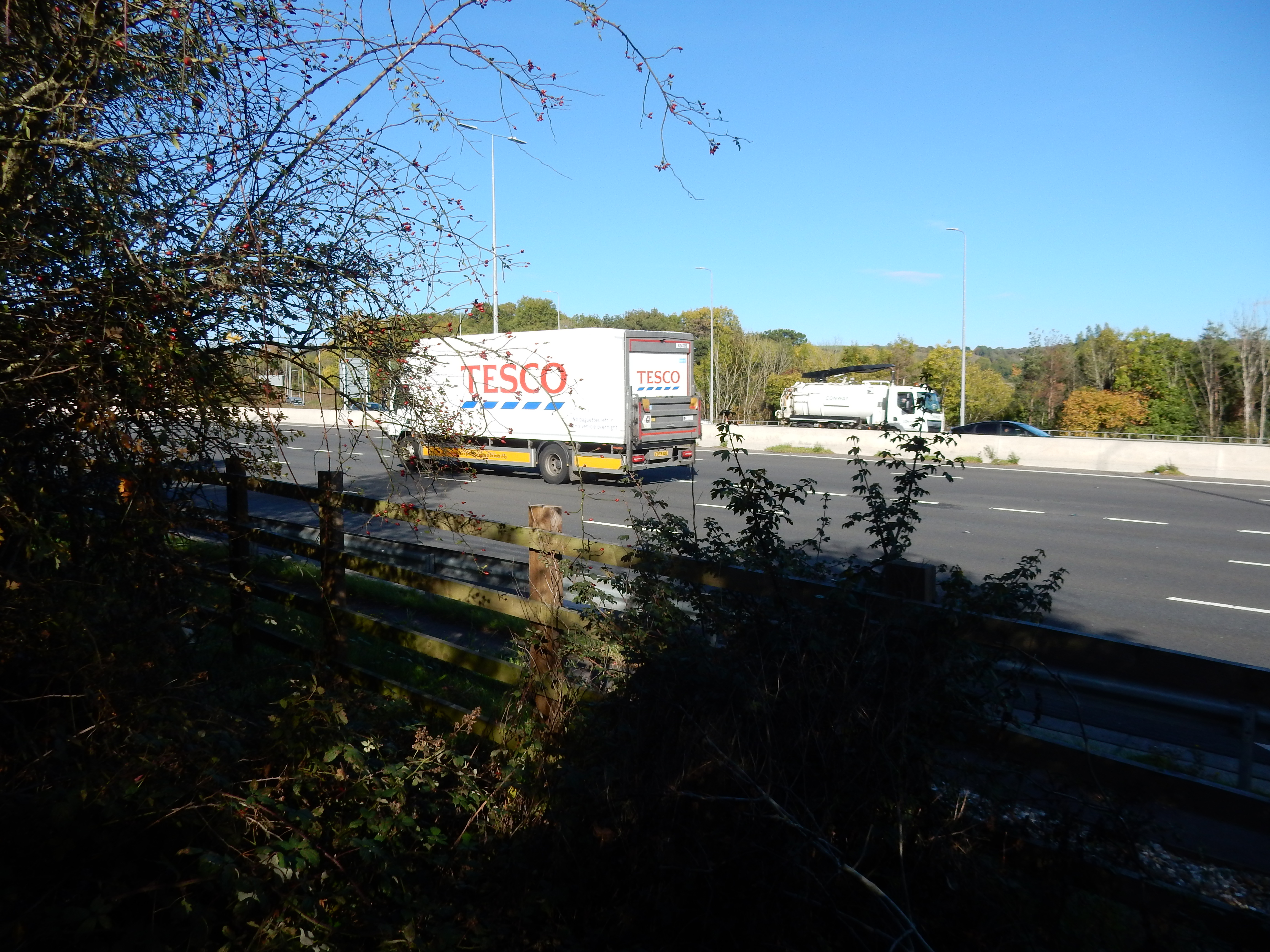
Though having been in Merstham for nearly twenty years more than the M23, I have not previously taken this opportunity for a close encounter with the latter. The western part of this path is well used, but the eastern end rather less so. In places where the route is indistict your best course is uphill and to the right.
So, there you are. You're officially welcome to it.