
Parametric data
- Route name:
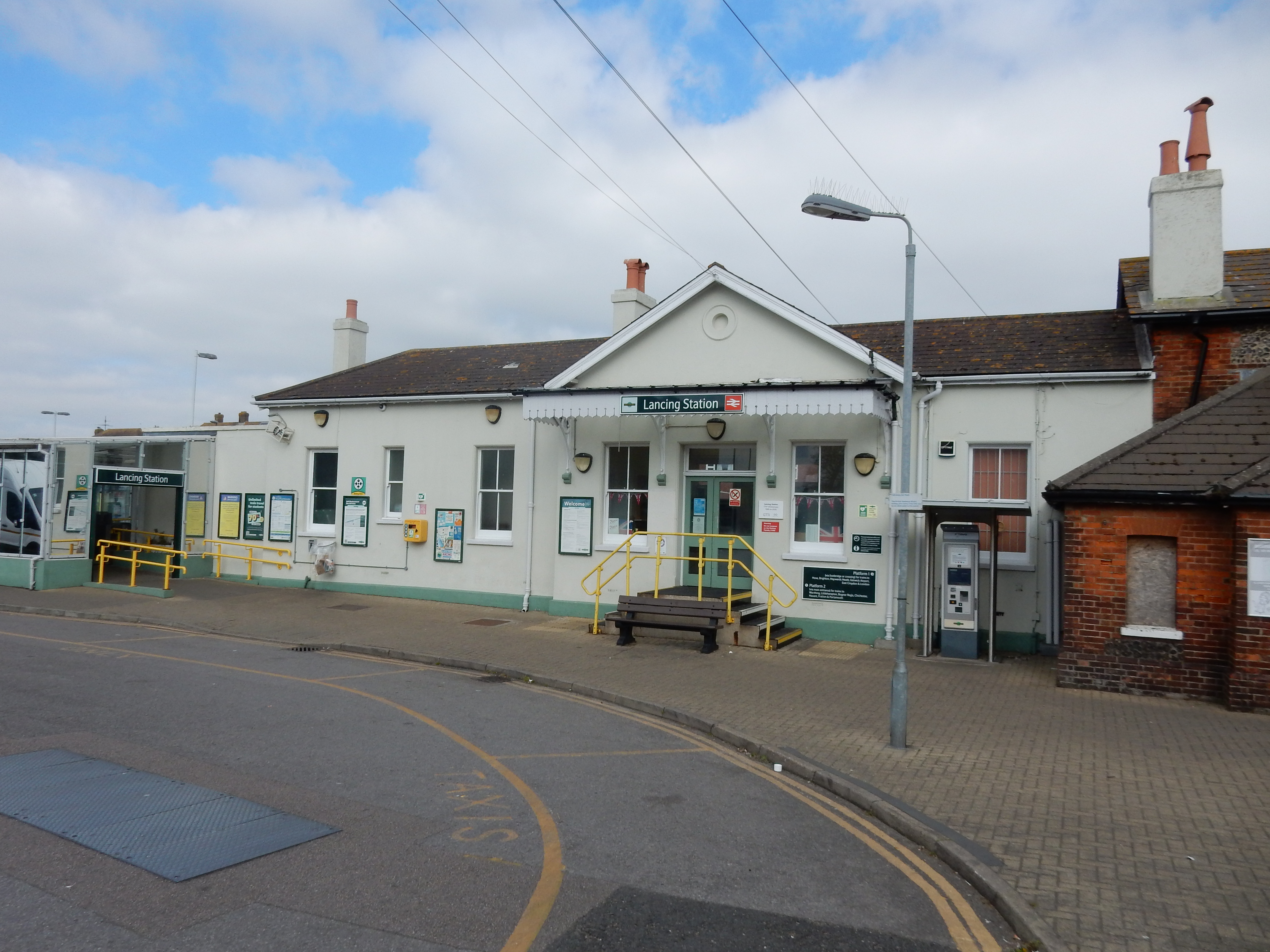
- Lancing
- Start point:
- Lancing.
- End point:
- Hassocks.
- Synopsis:
- A medium distance route offering a variety of walking surfaces and scenery. First half, a walk along the coast. Second, a climb over the Downs at Devil's Dyke. Best walked in moderate winds.
- This route on OS maps:
- https://explore.osmaps.com/route/26103562/ ...
- OS Explorer sheet ref(s):
- OL11.
- Distance:
- 13.6 miles walked, 10.3 miles flown.
- :
- TBA hours.[1]
- Ascent:
- 419 metres.
- Stiles:
- 0 (zero).
- Landmark of note:
- Rest and be Thankful.
- Feasible excursion:
- You could easily shave 0.6 mile off this route by keeping north of the shoreline and the KCIII path.
- Waypoints:
- Shoreham, Kingston by Sea, Mile Oak, Devil's Dyke, Saddlescombe, Pycombe, Clayton.
- Fuel:
- Coffee from The Coffee Lounge, Lancing. Packed lunch on the Rest and be Thankful stone on Southwick Hill.
- :
-
 12°C,[2] 🌤️ Overcast first thing, then perfect.
-
Avoiding roads: -
TBA
-
Footpath construction: -
TBA
-
Footpath condition: -
TBA
-
Vistas: -
 Devil's Dyke, 206 metres ASL.
Blackberries:-
TBA[3]
Route map.
Walk notes.
Lancing is new to me and, yet, rather familiar in terms of other south coast towns. Every wall built 100 years ago has flints in it. There is a lot of building going on today, though. Something of a boom in residential accommodation is swallowing up the last square inch of Wider Brighton. So far, the monster has not devoured very much north of the A27. National Park? SSSI? Developers always outgun such pretension. Should you doubt it then come see what has become of the Green Belt where I live. Totally shredded. Well, look at this first photo from the moment I reach the promenade. See? They're even building homes on the beach now. Good. That's today's moan out the way.Well, it isn't Bondi Beach, precisely. The throng arriving here to admire the wind farm is suitably attired for the event. So dense is it, however, that not a square inch of Lancing's fine, white sand is visible in this pic. It's a bit of a disappointment. I had tweaked the OS planned route specifically to include this section of the King Charles III England Coast Path. The original route favoured the A259 Brighton Road. I thought I was improving the walk aesthetics, but doubts are creeping in, so I flee in terror from STEEP BANKS AND HIDDEN OBSTACLES.
The walk eastwards takes the rest of the morning, and the afternoon and I arrive on the north bank of the Adur. Quite picturesque.
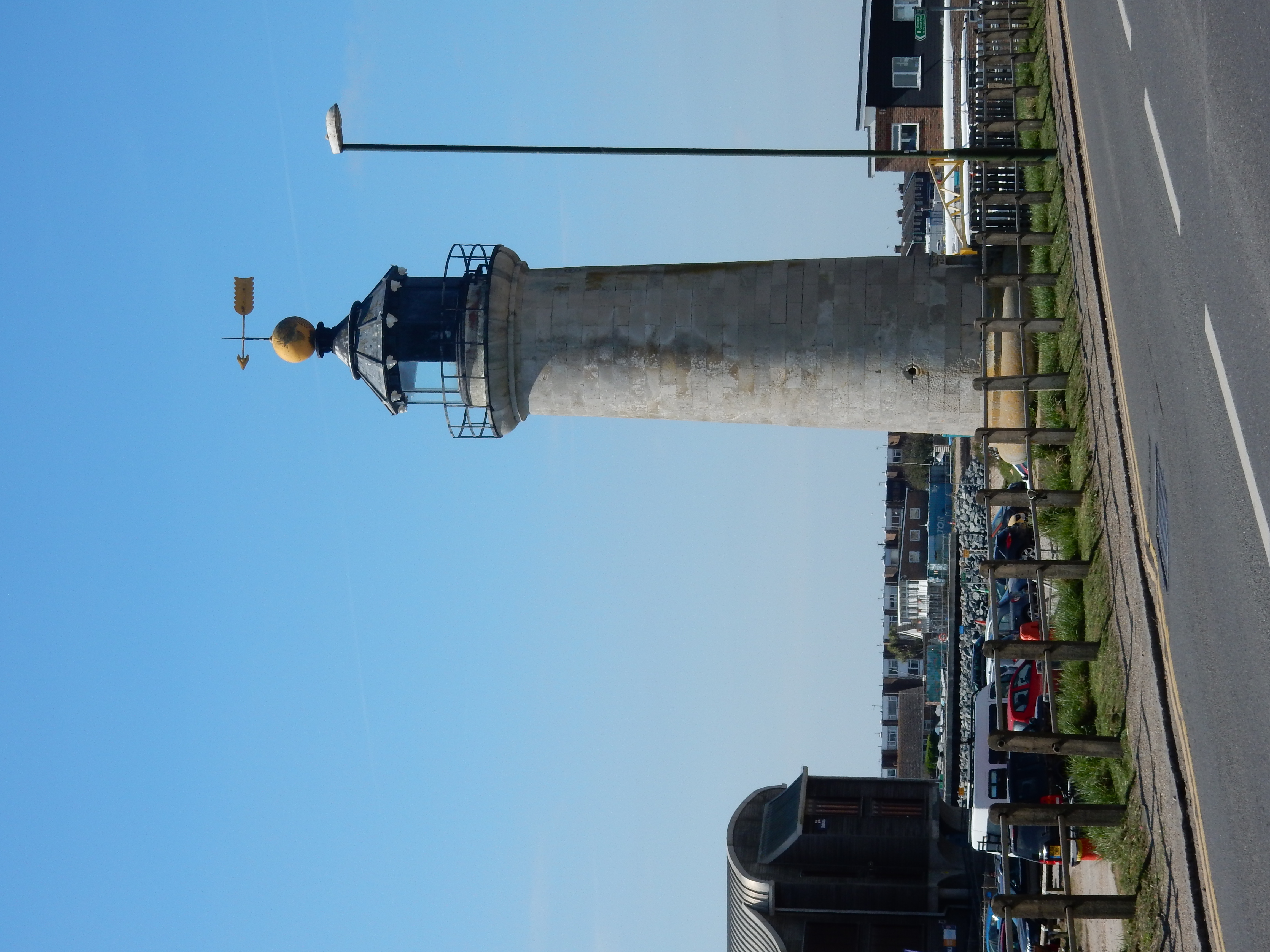
I was previously unaware that any lighthouse could be found here on the north bank of the Adur. I was also surprised that there was ever a need for one at such a spot. Well, there it stands, as Martin Luther did not say.