
Parametric data
- Route name:
- New Malden to Harlesden.
- This route on OS maps:
- https://explore.osmaps.com/route/16664861/ ...
- Distance:
- 10.6 miles walked, 9.1 miles flown.
-
Duration
-
3.9 hours.[1] - Topology:
- Point to point (NSEWward).
- Ascent:
- 70 metres.
- Stiles:
- 0 (zero).
- Landmark of note:
- Emanuel School boathouse.
- Feasible excursion:
- Priory Lane has less mud.
- Waypoints:
- Kingston Vale, Roehampton, Mortlake, Barnes, Chiswick, Acton Vale, North Acton, Park Royal.
-
Weather: -
 9°C,[2] ☀️
Stiff north-easterly knocked spring back a tad. Hey ho.
9°C,[2] ☀️
Stiff north-easterly knocked spring back a tad. Hey ho.
-
Avoiding roads: -
 I used the road through Richmond Park. The longer
footpath was flooded in places but still seemed the
better option on the day.
I used the road through Richmond Park. The longer
footpath was flooded in places but still seemed the
better option on the day.
-
Footpath construction: -
 After Richmond Park you face a long stretch of dirt.
-
Footpath condition: -
Through
Palewell Park
along the bank of
Beverley Brook
should only be attempted wearing a life jacket.
- Refreshments:
- Coffee at Roberto. Lunch at Starbucks, Turnham Green Terrace.
-
Vistas: -
Along the Thames at Barnes.
Blackberries:-
 Some of the riverbanks might tempt in season.[3]
Route map.
Route notes.
There is something in a sewer,
Down below,
That has a strange allure,
Down below.
I suppose this walk could almost have been titled 'Wimbledon to Wembly'; it's not far off that. It is also a mirror of my previous trudge, which was from South East to North East London. Thanks to the efforts of J. W. Bazalgette it is not malodorous Beckton I visit today, but rather the originating areas of the raw material with which he worked. No nasty niff assails the nostrils of Mr. and Mrs. Chiswick, thank you very much. Sir J. is buried in Wimbledon, naturally. One wonders, though, what exactly they buried him in.
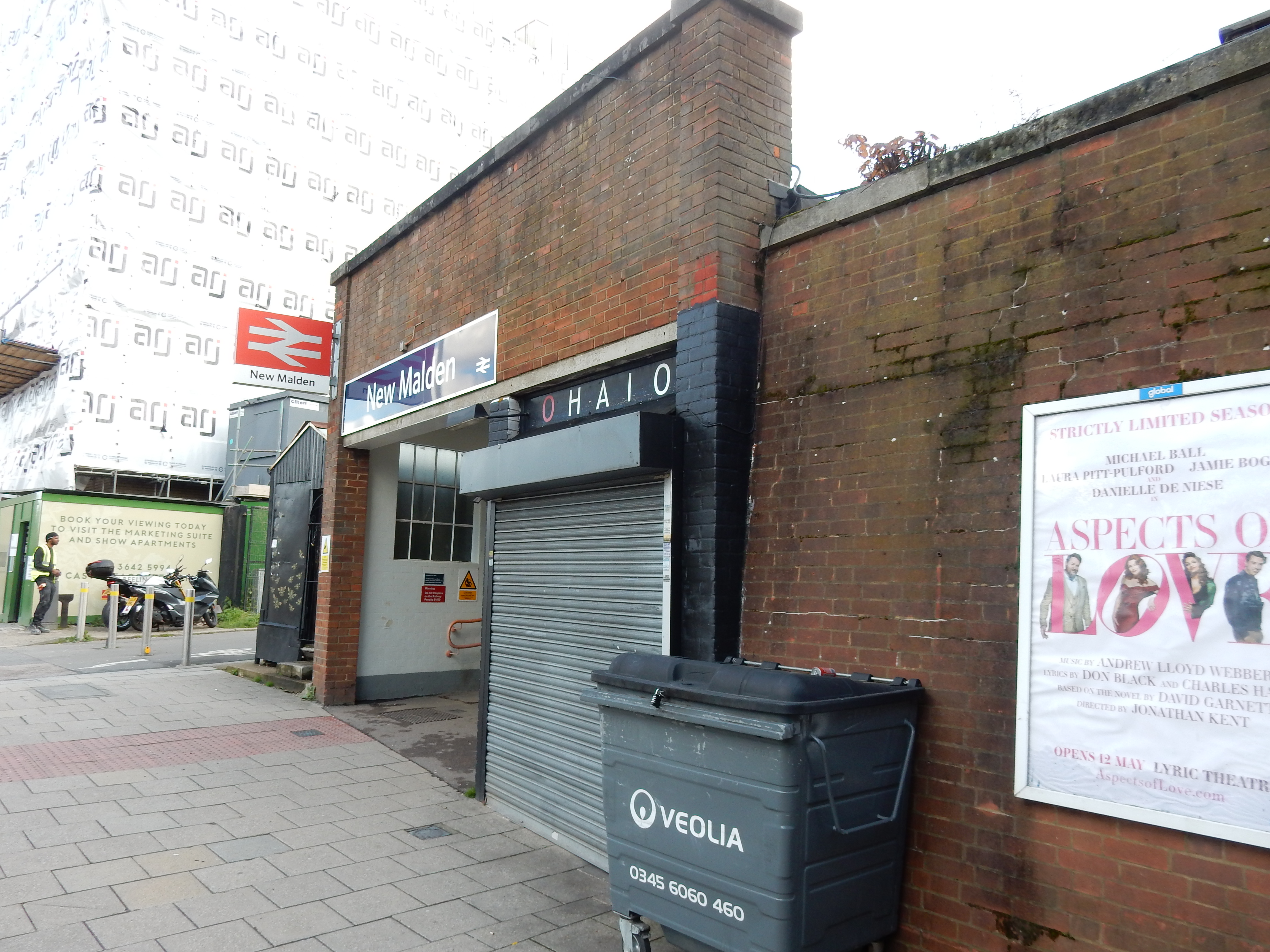
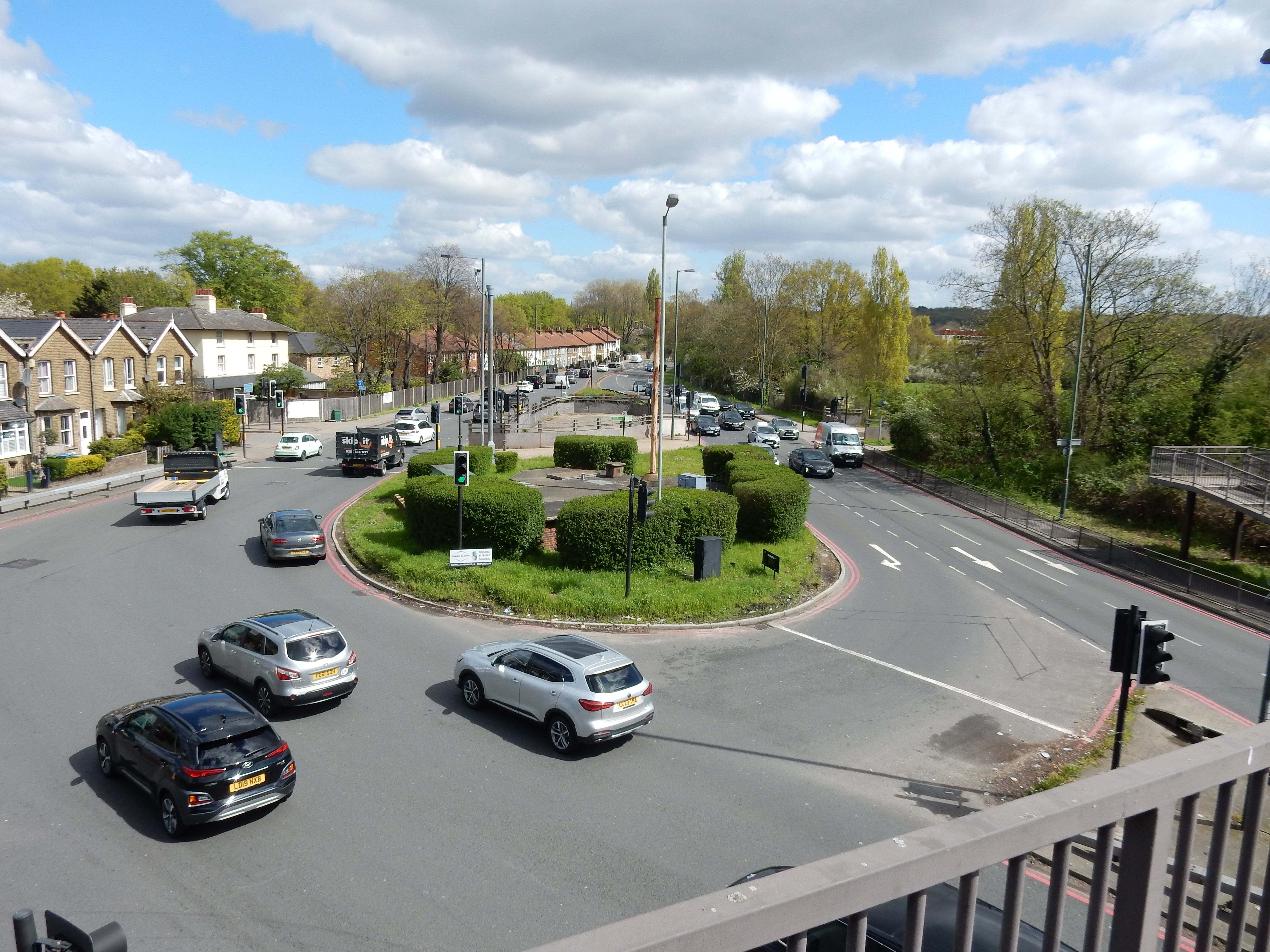
New Malden itself need detain us no longer than a stop for coffee. We will, however, note its location within the Royal Borough of Kingston upon Thames, which we compare with the royally connected Eltham near the start of my perambulation ultimo. The upcoming Richmond Park also has some sort of Royal connection, but I forget what. Keep an eye open for Cambridge Avenue off to your right leaving New Malden. This runs through the inevitable golf course between it and the A3. Last week I just managed to avoid fairway faff, but no such luck in West London (of course 🏌️). A rather long stretch (almost two miles) of A3 it is, too, ending only at the Robin Hood Roundabout. Here my navigation goes awry and I cross by the footbridge and turn left up the old Portsmouth Road. A ¼ mile later, fears of a return to Guildford induce a rapid U-turn back toward the gate into the park.

As I recall, this is not my first visit to Richmond Park, having been brought here as a boy; a tradition established by my paternal ancestors. Neither could have understood why I would arrive here without internal combustion or descendants of my own. I remember the park as being a sizeable chunk of green and, indeed, some sixty years later, it feels like at least the 1¼ miles to the Roehampton Gate that it is. It might feel even further with any additional standing water but that was not such a problem on the day. Don't think, however, that you have escaped from mud on this walk. Oh, no. A Royal Park may be one thing but there is nothing remotely regal about the footpath round Palewell Park. Definitely a wellies job close to the Beverley Brook outside July. Will Chas III be wearing wellies at his coronation next week? This is all the fault of the OS, whose route planning app has a liking for mud; whereas my walks through the capital are motivated mainly by a need to avoid it. In fairness to the OS, alternate routes are longer and boringly suburban. You pays your money.
From the Barnes end of the bridge there is this view of Emanuel School boathouse. During the 1930s my father attended Emanuel, and his happiest memory of the period was his outings on the river. A lanky six feet one inch, I would imagine he was suited to the sport.
After Palewell there is a stretch of suburbian des res from Hertford Avenue until you reach the Thames. Stay on the south side of the road until you reach Barnes Bridge; which you cross on its downstream side.
The footpath along the north bank toward Chiswick Eyot boasts some fine views of the river - not lost on observers of the Boat Race. You run out of path just before the Eyot and turn north across the Hogarth Roundabout. Your GPS does not function in the pedestrian underpass, but your entire day is unlikely to be ruined thereby. Just keep going north (your compass works) toward the small Starbucks off Chiswick High Road where you do a quick lunch.
Acton is a mishmash of parkland, suburb and industrial estate. Park 'Royal', in particular, offers fewer pleasant vistas than did Richmond Park but, hey, there is no mud. That's why we're here, remember? Cross the Grand Union Canal and you're pretty much done. Note that the canal has a nice footpath along it. Could it be good for a future walk? Well, summer is in sight and the Surrey Hills are becoming ever more deceitful regarding their guaranteed 'mud-free' status in warmer weather. Resist their lure a little longer, perhaps. What have they to offer compared to the joy of the A40?