
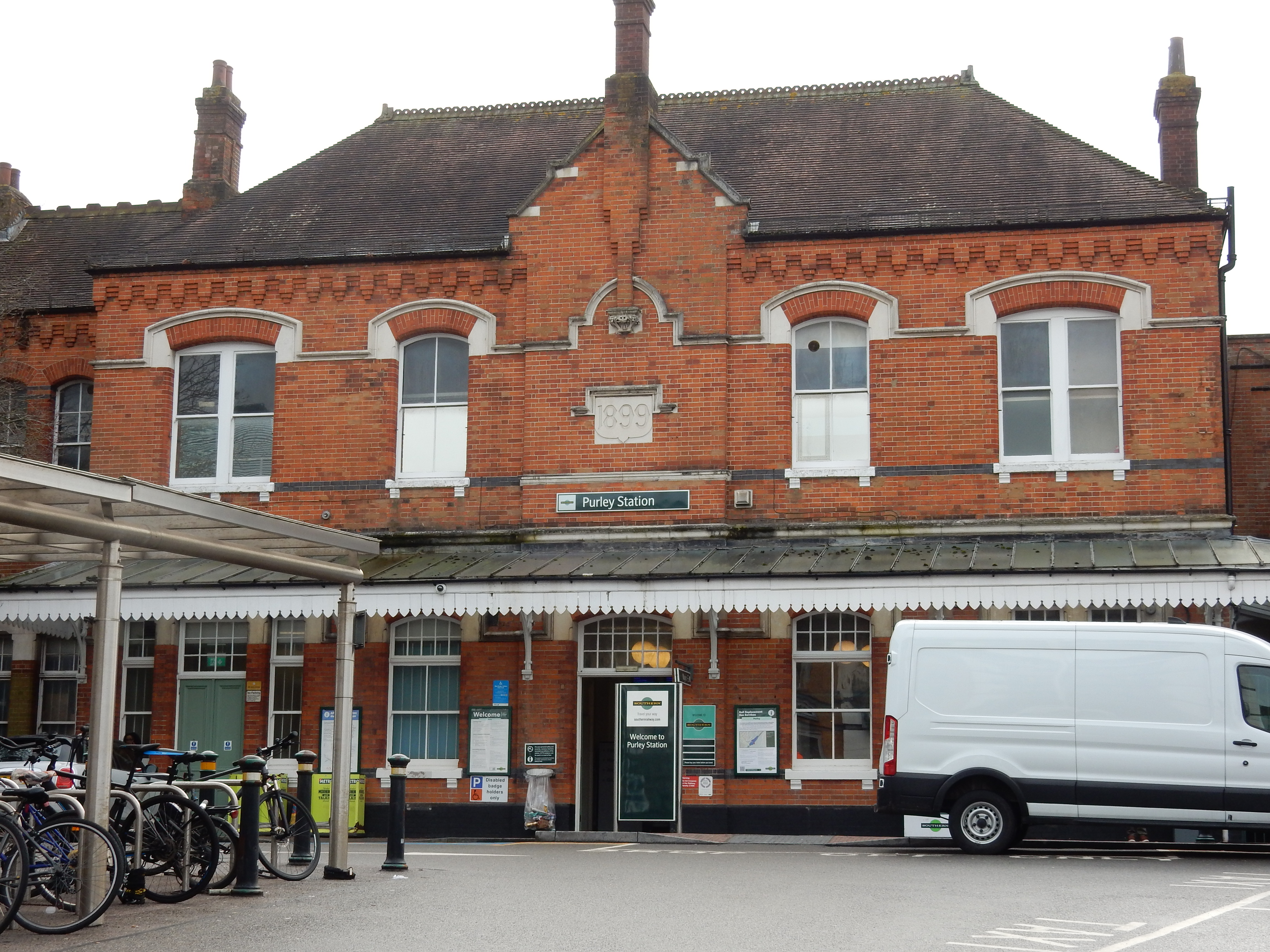
Parametric data
- Route name:
- Purley
- Start point:
- Purley.
- End point:
- Victoria.
- This route on OS maps:
- https://explore.osmaps.com/route/22356069/ ...
- OS Explorer sheet ref(s):
- 161.
- Distance:
- 12.5 miles walked, 11.0 miles flown.
- :
- 4.7 hours.[1]
- Ascent:
- 97 metres.
- Stiles:
- 0 (zero).
- Landmark of note:
- RAF Memorial, Croydon
- Feasible excursion:
- At Streatham swing left onto the A214, go across Tooting Bec, Clapham Common, Battersea Park and Chelsea Bridge. It's a smidge shorter, more interesting and less of an earful, but very much more complicated.[2]
- Waypoints:
- Waddon, Thornton Heath, Norbury, Streatham, Streatham Hill, Brixton, South Lambeth, Kennington, Pimlico.
- Fuel:
- Coffee from Costa, Purley Way. Pack lunch at Streatham.[3]
-
: -
 9°C,[4] ⛅️
bit of a breeze to go with that, so was glad of mittens.
-
Avoiding roads: -
 There may be several reasons to dislike the A23. A lack of a
footway is not one.
-
Footpath construction: -
Solid ground; start to finish.
-
Footpath condition: -
A crack in the pavement. Oh, dear.
-
Vistas: -
 From the walk summit at Edgehill Road (a dizzying 100 m
ASL) you can look ahead to the high-rise parts of central
London.
Blackberries:-
 This isn't the walk for them.[5]
Route map.
Walk notes.
🎵 No sandy beaches, or humming bird ...
Steve Bell Cartoon, The Guardian, 1985.
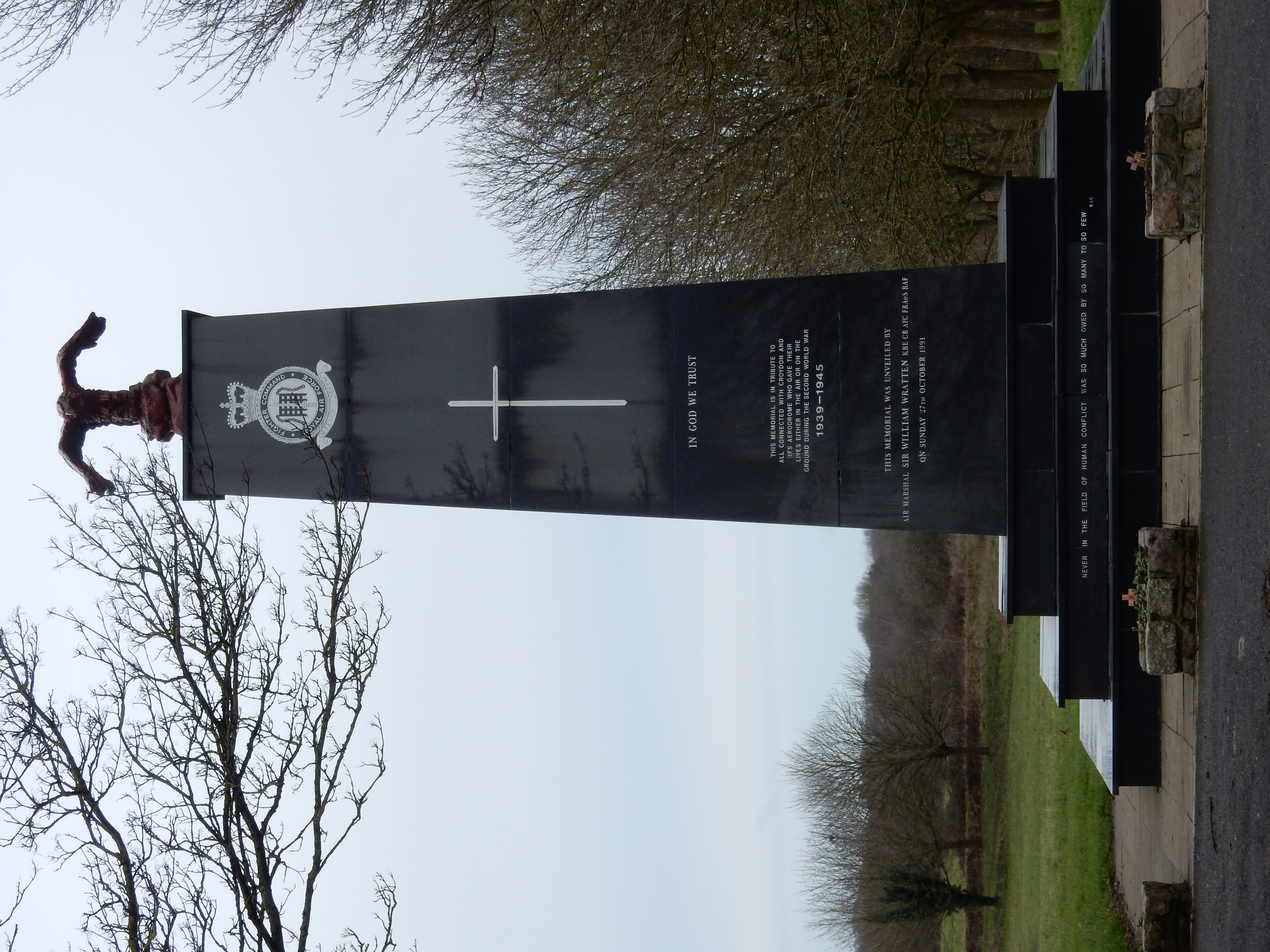
Parts of said scenery are already familiar to me. The Purley Way here, in particular, is so on account of its having been chosen by my father for our semi-regular trips to Norbury. They pre-dated the RAF memorial, however. Why did the latter not appear until 1991? Answers, please. A little further ahead, the Five Ways junction looms once again. As a nipper, its complexity exceeded anything I had competence to analyse. How did anyone navigate across such a forrest of traffic signals and lane markings? Whilst reminiscing on past bafflement, I wander absent mindedly down Stafford Road. Sigh.
½ mile further on I go over the River Wandle, but do so unknowingly because it flows through a culvert under the Purley Way, and doesn't emerge before Waddon Ponds on the southern side of Mill Lane. The Wandle Trail is 14 miles long but I'm now minded to have a bash at it someday when the unsealed sections have dried out a bit more. When I completed a good chunk of it on my walk from Morden, I had to swim for it at a couple of places.
By contrast with the Five Ways junction, the intersection of the Purley Way with Ampere Way is not the difficulty I feared it might be. Developments in recent years at Valley Park Retail have not significantly affected the footpath on the western side of the Purley Way. Besides, the OS choice of the eastern side is correct and better anyway.
Enlightenment also dawns here regarding another change that Croydon has seen. My earliest memories of the town centre include frequent visits to the Allders store. It was the go-to place for home furnishings. Whatever looked suitably swish in your home, you could find it in Allders. Why would such a success disappear in a puff of smoke during the third millenium? Do people no longer buy lava lamps? Well, large though the Valley Park may be, it is barely adequate to contain the whopping Ikea nestling under the old power station chimneys. Not every visitor to the Whitgift Centre was comfortable being at the tender mercies of the NCP. Ikea probably has as many spaces and charges rather less for one. It was no competition. See below for my thoughts on car journeys in the Capital.
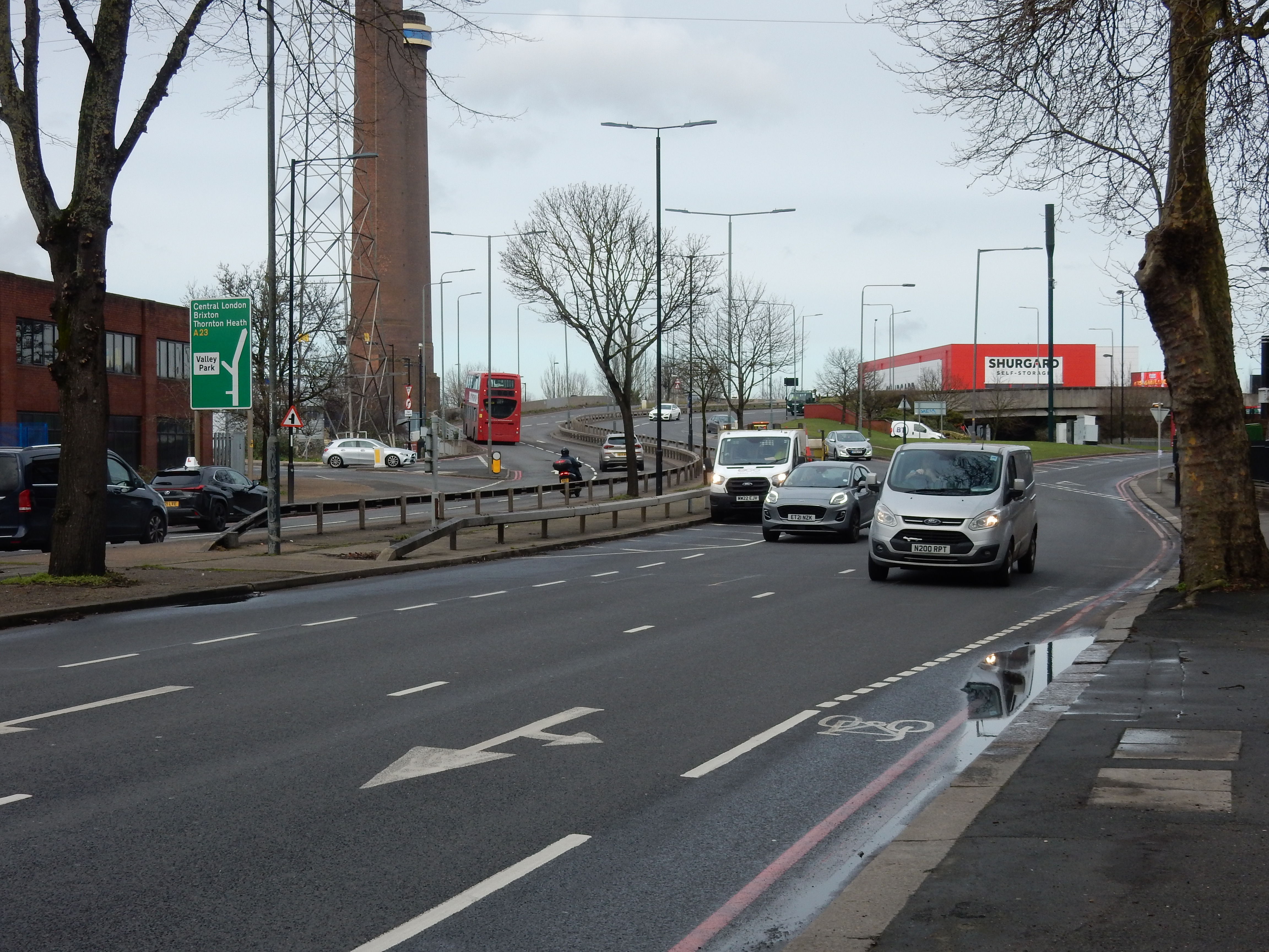
Time to snap out of 'reminisce mode' a get cracking on the walk northwards. Navigationally, my task is straightforward in a literal sense: just follow the A23. Progress is also improved by transit of Thornton Heath. No stops are required for photo opportunities in this part of London. Even the denizens of that very neighbourhood will concede that international tourism has yet to discover enough of interest there to fill an entire SD card.
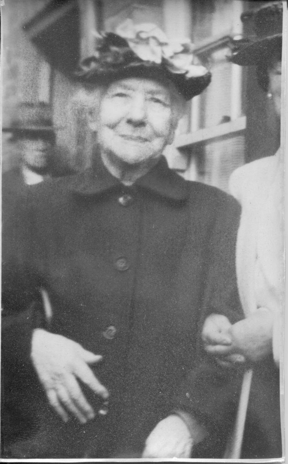
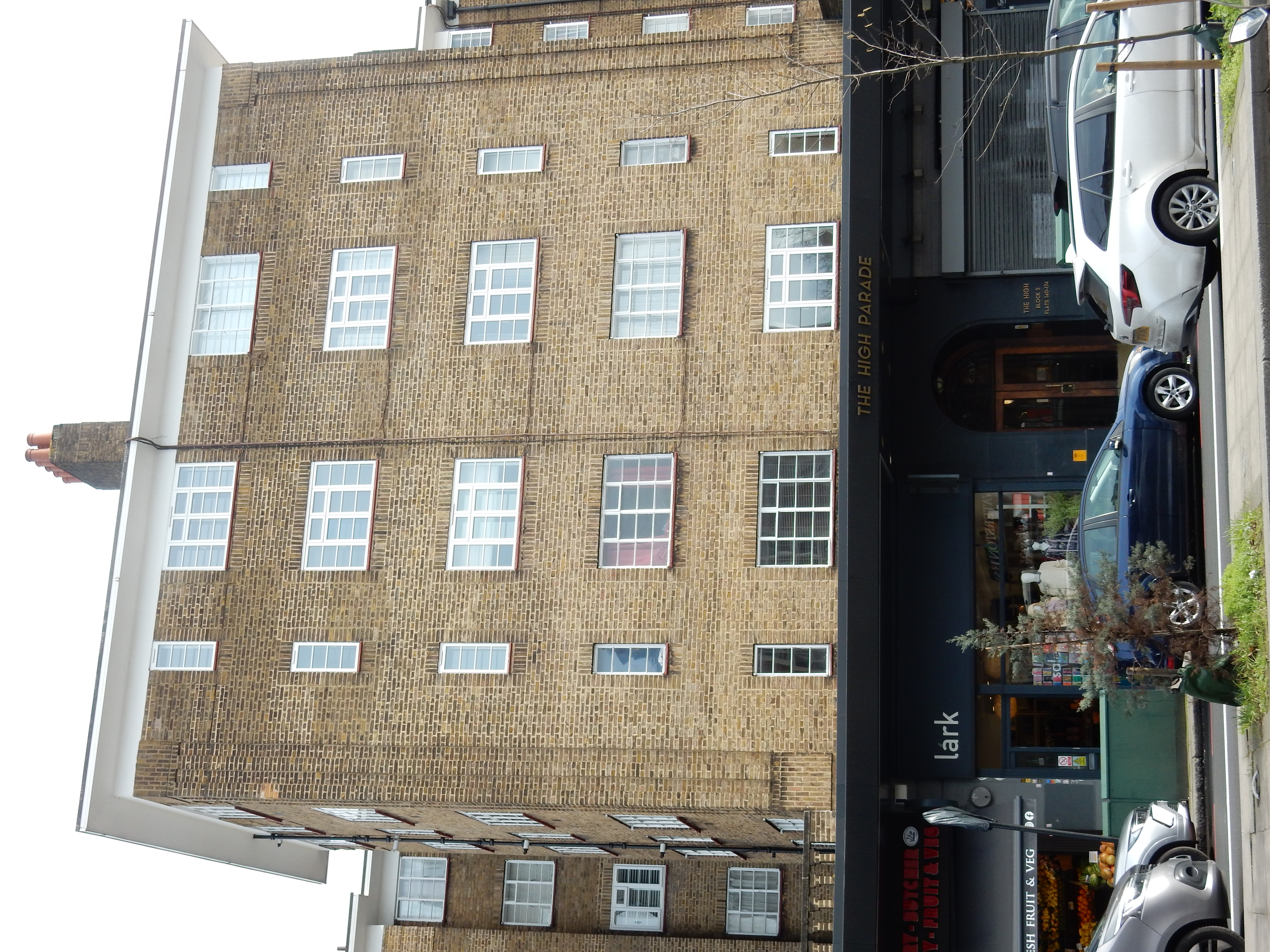
You might suppose that Streatham would be similarly devoid of spectacle. However, I do stop in the High Street to record part of this long block of flats stretching from Gracefield Gardens to Leigham Avenue. When built in the 1930s, they were by no means the least fashionable accommodation available. During the early ¢20 my ancestors were living and working either within, or close to, the centre of the Capital. Until January 1953, these included a maternal great grandmother, Julia, who lived here at Flat 86 (slightly further north). A small, rather frail, twice widowed mother of four children, she had been born 89 years earlier in Frome, Somerset into a family of weavers. Her full 'Zummerzet' accent is celebrated, even today, by those who heard it. Finding that their industry would not recover from decline, they migrated into London, along with many thousands of others in the period. Forced in 1905 to choose between marriage to an inebriate no-good or destitution for herself and children, Julia took the former path.
Her death certificate[6] records heart failure and 'senility' alone, but surviving members of the family were unanimous in attributing Julia's demise to the Great Smog of December 1952. They voted with their feet and, within a decade or so, left central areas for Outer London suburbs or the South Coast. It seems important that I recall these events, because the great wailing today heard from those in opposition to ULEZ might persuade you that smogs can't happen.[7] In reality, thousands of people did die. I resume my northwards stroll powered by two legs rather than internal combustion.
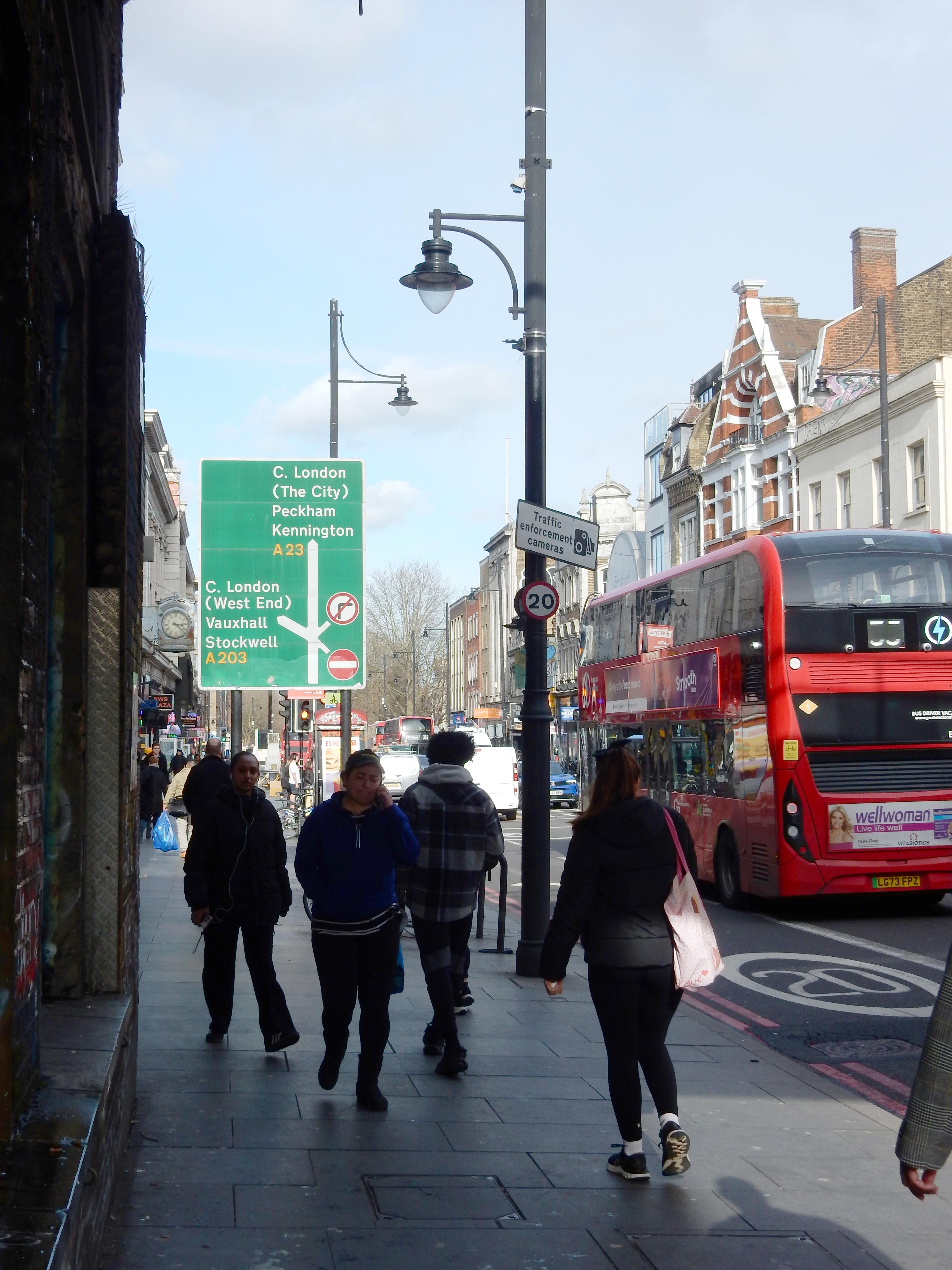
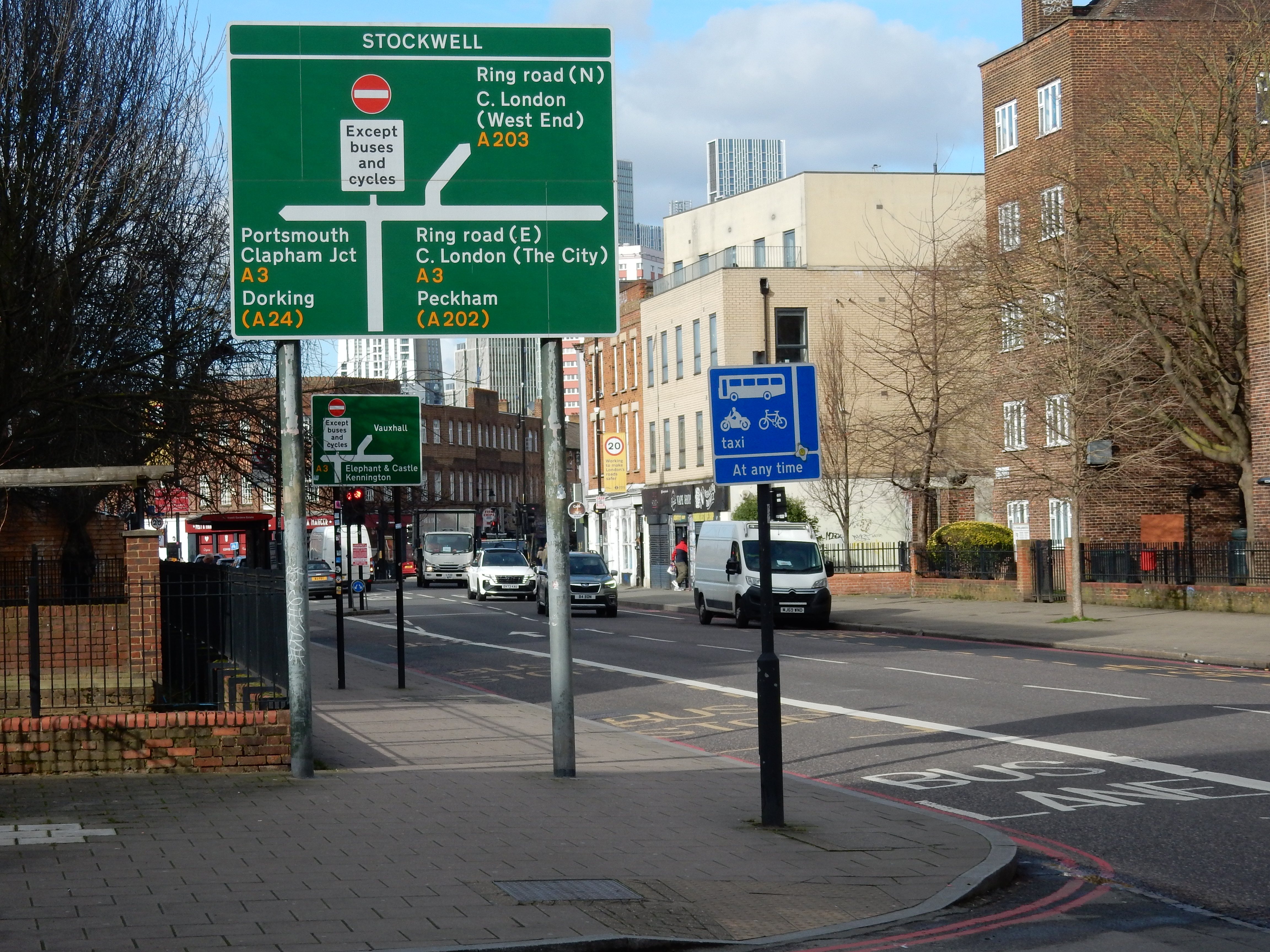
My mission on low emission soon reaches Brixton, and a swing westwards, leaving the A23. No need to keep looking at the satnav because your approach to Stockwell Avenue is signaled by four easily seen landmarks at fifty metre intervals: Brixton Tube (to your right), the bridge carrying the South London overground rail line and (finally) the bridge for the Chatham Main Line just before the road sign pictured. You could not miss all of them, even in December 1952.[8] You are heading in the right direction and, with a bit of luck, have passed the last vaping kit supplier on the walk. Prospects for your pulmonary function improve markedly.
The A203 is indeed something of a relief; far quieter and
largely residential in character. As Stockwell Tube heaves into
view so does my old friend the
A3, trunk route of daily delight on approach to the former
Salt Mine, thirty miles towards Portsmouth down that road. Yes, I
recall with great affection the combination of A3 and M25. These
currently reach the very pinnacle of seductiveness at the Wisley
interchange improvement works. I should never have retired had I
realised what a void their disuse would leave at the centre of
my life 🤥
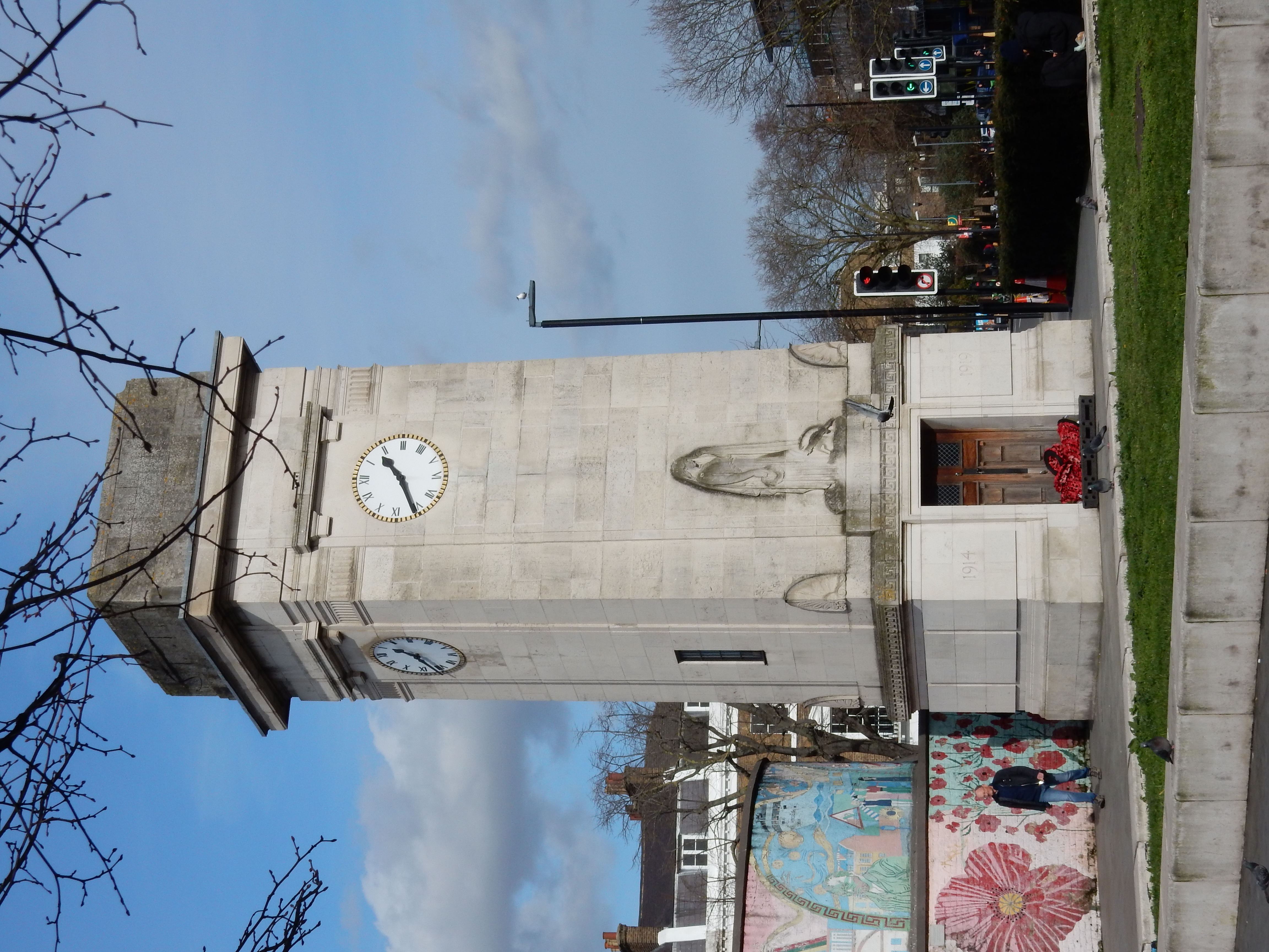
We've already passed a WW2 memorial in Croydon. Stockwell rewinds
the calendar back to
WW1
with this impressive
clock tower.
OK, nearly there. A hop across
Vauxhall Bridge[9] takes me north of the Thames. ⅓ mile further to
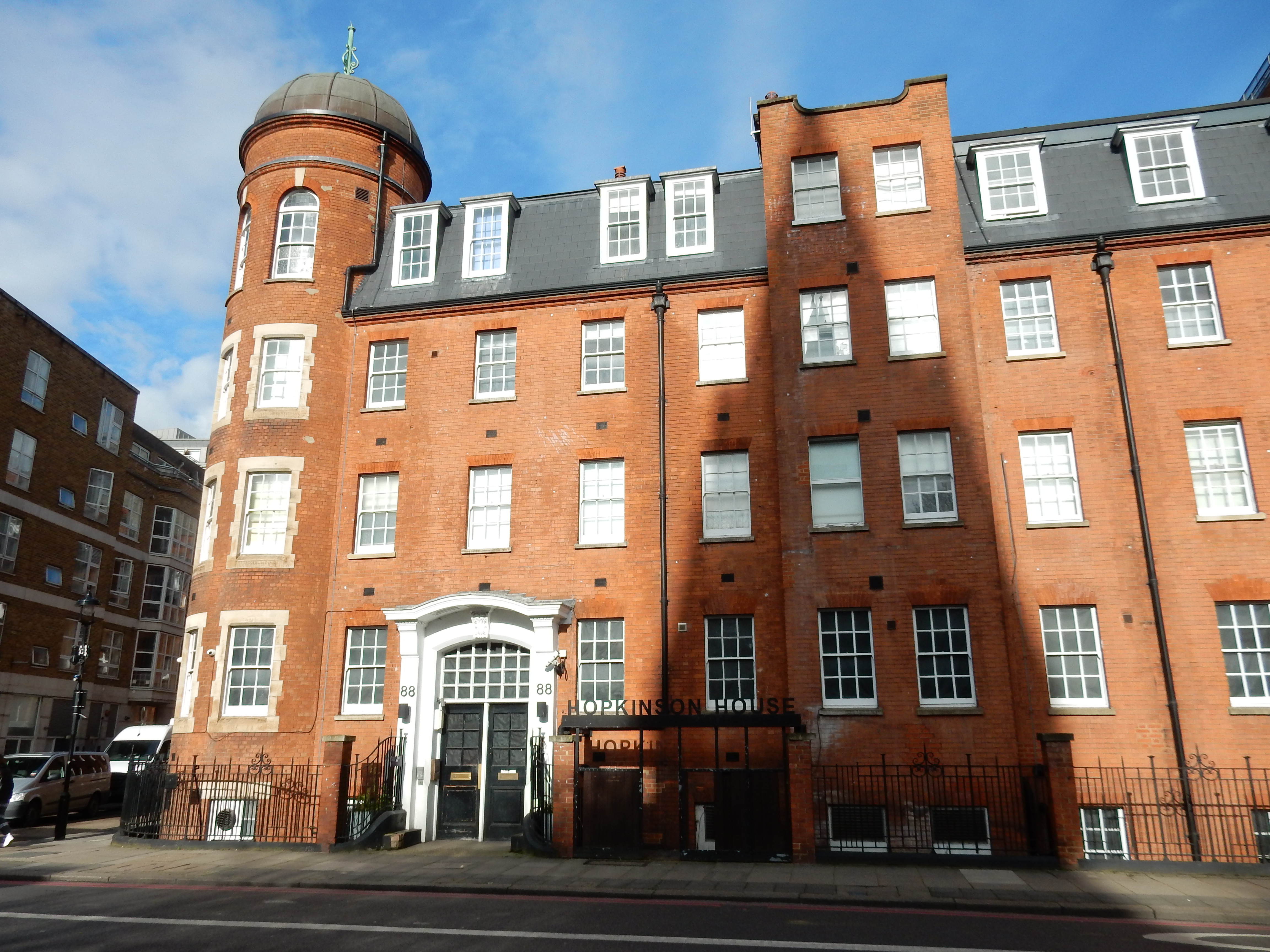
Vauxhall Bridge Road and
Hopkinson House, where my paternal grandmother lived in 1910. At that
time my paternal grandfather was living ⅓ mile to the
west in Clarendon Street. What a coincidence 😲
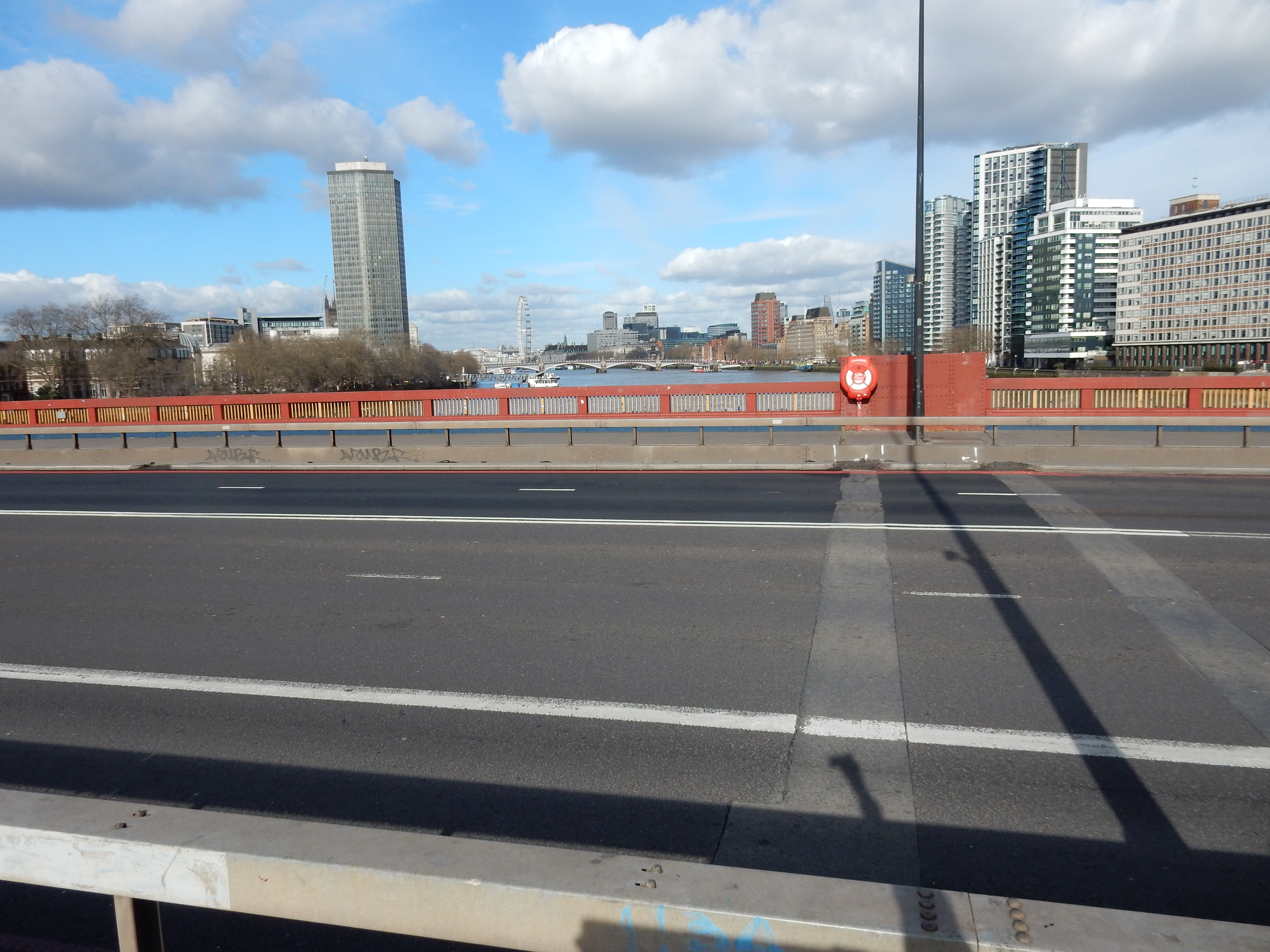
So, overall, this route seems satisfactory enough. You can use it in any weather, and there's a variety of scenery from aircraft of the 1930s to town housing of the 1930s. I'm not a happy bunny, however, because the new shoes on trial prove seriously undersize. My injuries will remain apparent for months 😬