

Parametric data
-
Route name:
Westminster (London Victoria rail station) to Croydon (East Croydon rail station). -
This route on OS maps:
https://explore.osmaps.com/route/14737866/... . -
Distance:
10 miles. -
Duration
4.0 hours. This is my fastest walk to date. Without photography and the wrong turns, I would have hit 3 mph 🏃
-
Topology:
Point to point (southward). -
Ascent:
116 metres. On a ten mile walk, this is pretty flat. -
Stiles:
0 (zero). Pedestrians have long used the A23 without need to negotiate these. -
Landmark of note:
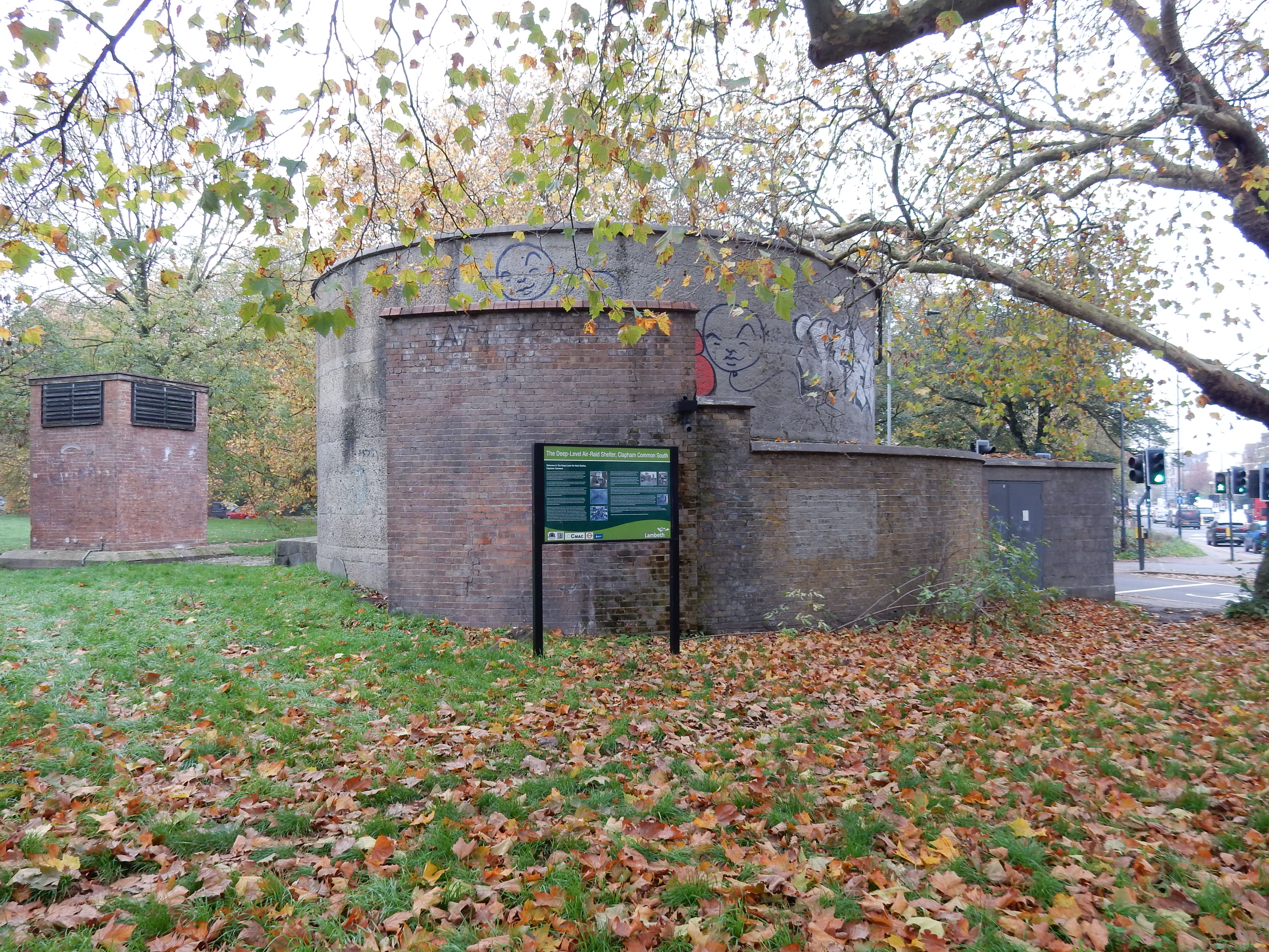
The deep level air raid shelter at Clapham South. -
Feasible excursion:
A route could be planned using Vauxhall Bridge rather than Chelsea Bridge. The latter seems a better bet to me. -
Avoiding roads:
 Proper footways from start to finish. It's London. Yay.
-
Footpath construction:
 Sections of the path across Tooting Common are dirt.
Easy to avoid, if you feel the need.
Sections of the path across Tooting Common are dirt.
Easy to avoid, if you feel the need.
-
Footpath condition:
 I returned from the walk with cleaner boots than when I
started it.
I returned from the walk with cleaner boots than when I
started it.
-
Refreshments:
Toastie at Cafe Barcelona, Streatham. -
Vistas:
 Earth hath not anything to show more fair. Wrong bridge,
actually. That the fog conceals his
whereabouts
today is probably to 007's liking.
Earth hath not anything to show more fair. Wrong bridge,
actually. That the fog conceals his
whereabouts
today is probably to 007's liking.
-
Blackberries:
Some to be found in the parks, but you probably aren't
allowed.
Route map and notes.
When you are lost in London, and you don't know where you are,
you'll hear my voice a callin' - "For Spurs and Elsecar."
Michael Flanders.[pwd]
My first route from north of the Thames. As countryside walks become submerged in winter mud, I expect to do more of this sort of walk. This is also the first whose path was computed entirely by the OS App. My second walk with public transport both to the start and from the finish. Another reason for going this way is that even the little research I did was not vital; the app found a route that was as short and hazard-free as possible and, as a bonus, took in some points of interest. Purely by chance, a few of these bore upon some of my family historical connections. If that isn't your thing then consider now one of my other walks instead, perhaps? Anyway, the app just didn't select the easiest route to follow.
GPS never excels along narrow city streets. You will need a better one than mine if you are to rely on it alone. OTOH, the 'A-Z', like other paper, small-scale, street maps, will always tell you where you are, but it is of less use for route planning or following; so I left it behind. Three times 'gut instinct' sent me the wrong way. Well, greater tragedy befalls mankind.
My train pulls into Victoria no earlier than 10:20, so I stop there for a Caffè Nero. Out of the main entrance and turn left into traffic-choked Buckingham Palace Road. Next time, I will continue straight down to Chelsea Bridge Road. This is far simpler and barely longer than the OS suggestion of a left into Gatliff Road and through the Grosvenor Estate. This did at least give an opportunity for a photo of the canal.

I had not previously crossed Chelsea Bridge; so had little idea of its history. Its iconography reminds us of the past rôle of shipping along the Thames. Both my gt3 and gt4 grandfathers were shipmasters who used the Thames, sometimes successfully and sometimes not. I did know, however, the bridge would get me to Battersea Park. Dubiously, the signage here seems to indicate that you need the Thames Path. Sat Nav identified the path down the eastern end of the park, but Queenstown Road is simpler, if less peaceful. In 1951 the Park served as a venue for the Festival of Britain. As for others of their generation, this formed a pivotal moment in the lives of my parents. It left them hopeful that a future free of the privations they endured during the war years might be theirs. They married in December.

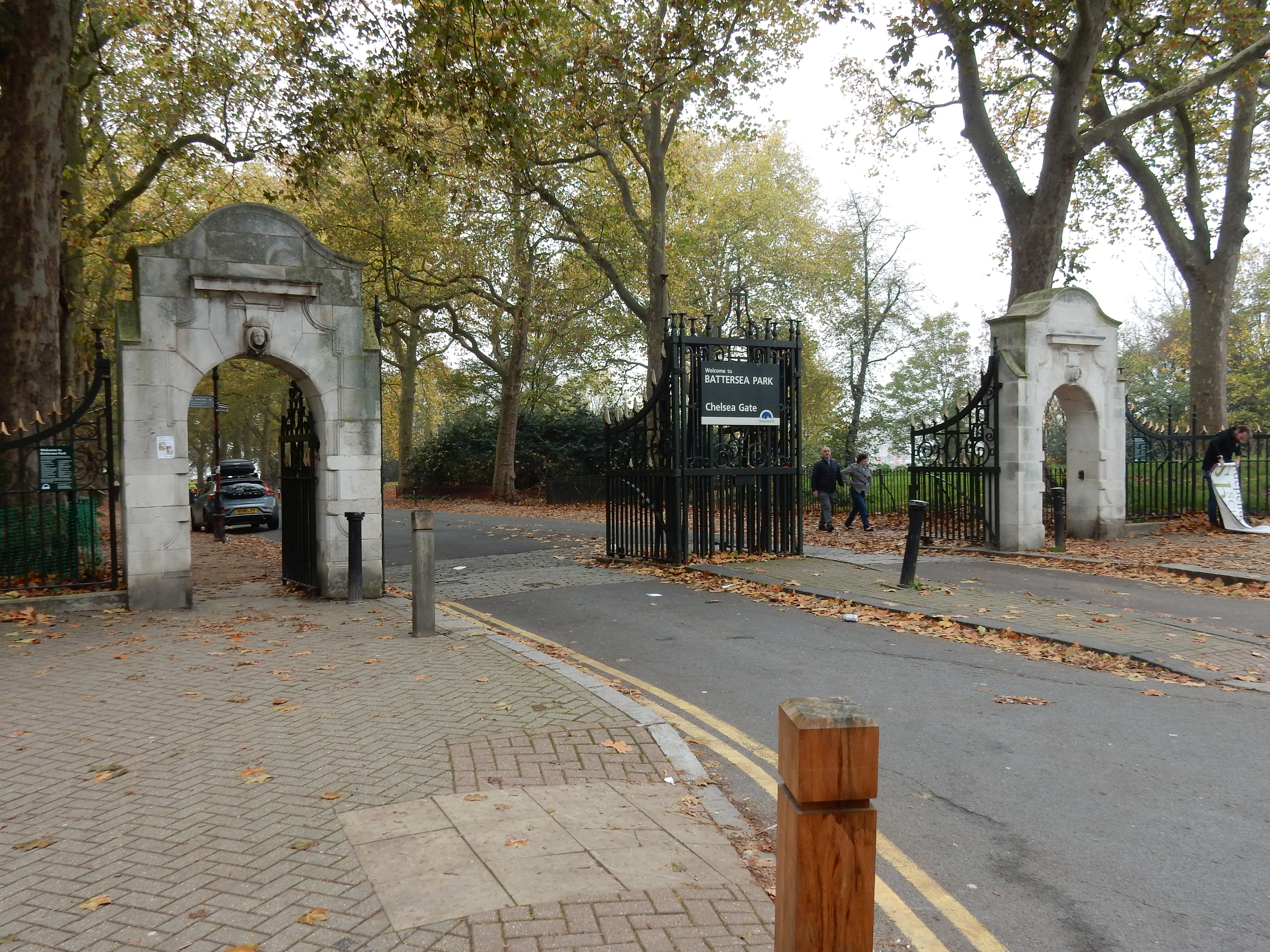


Tempted, though you may be, to tarry in the Pleasure Gardens, it's time to tackle archetypical South London, starting with the scruffy looking Queens Circus. Two hundred yards down Queenstown Road you face another navigational dilemma of the type seen earlier. If you like a challenge then attempt the OS' meander round the Arches near Strasburg Road. Leave it out, as Del Boy might say, and simply continue along Queenstown Road.

Other South Londoners, too, worried little about the letter of the law. So, ⅓ mile east of here, in Stewarts Road, could be found the firm of Glass Developments Limited where my father, Gregory, worked for several years. This was headed by its colourful managing director: Harold Rupert Thomas (1909 - 1991). 'Mr. Thomas', as father called him, did whatever was needed to keep the firm afloat. So, in the early fifties, a series of questions is asked in Parliament about the activities of GD. The 26th June, 1951 is a choice example with Hansard recording concern about both the future of the Festival, and also the promotion of a civil servant and relative of Mr. Thomas who, while working for Government, was caught printing publicity material for GD.
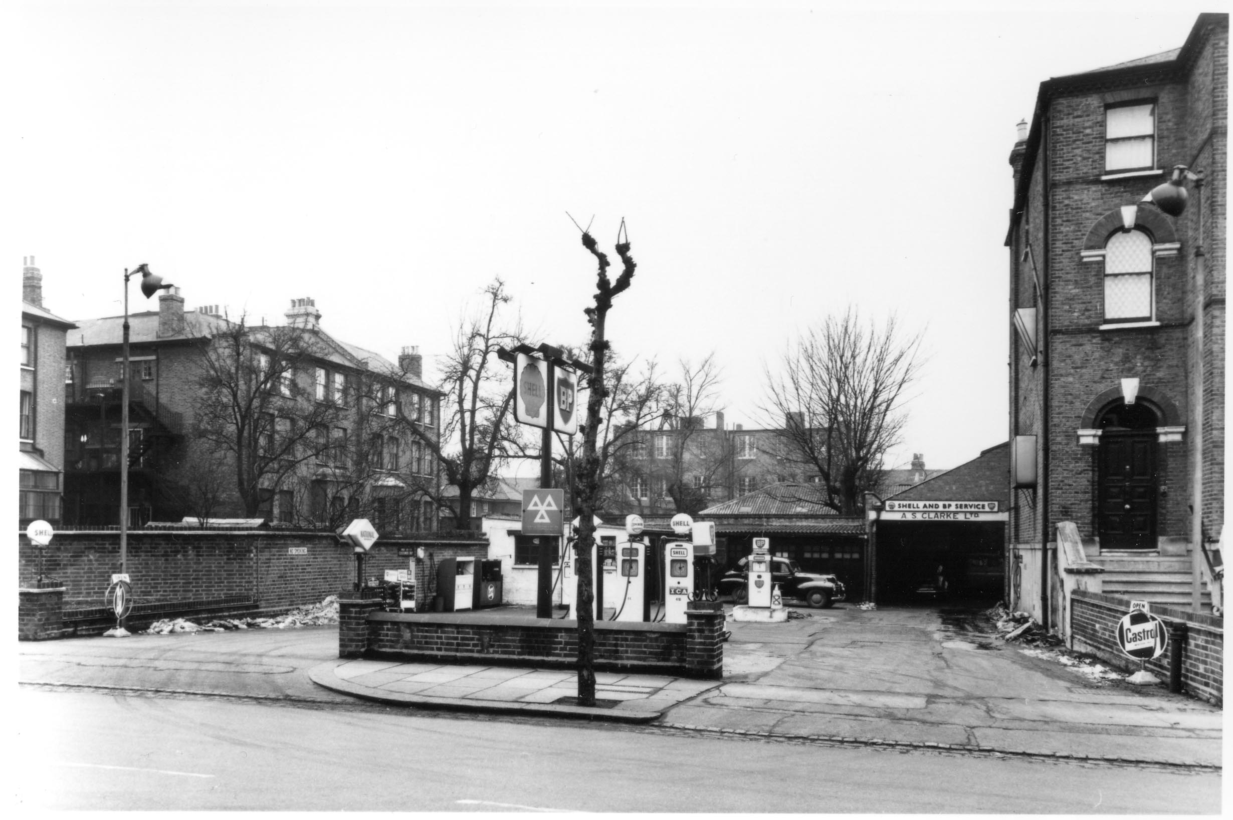
Resuming progress southward, it is unclear what the OS thinks it is doing in St Philip Street but, either way, we now cross the A3 as it heads towards Guildford where my father went after his departure from GD in 1969. From his earliest days, he was familiar with Clapham Common, living first in Lynette Avenue and, from 1927, in Cavendish Road. AFAIK, the family never made use of the deep level shelter on the South Side, but I do know that grandfather's automobile servicing business in Abbeville Road took a direct hit from a bomb during the Blitz. Father remembered a steel exhaust pipe with a wooden splinter driven through.

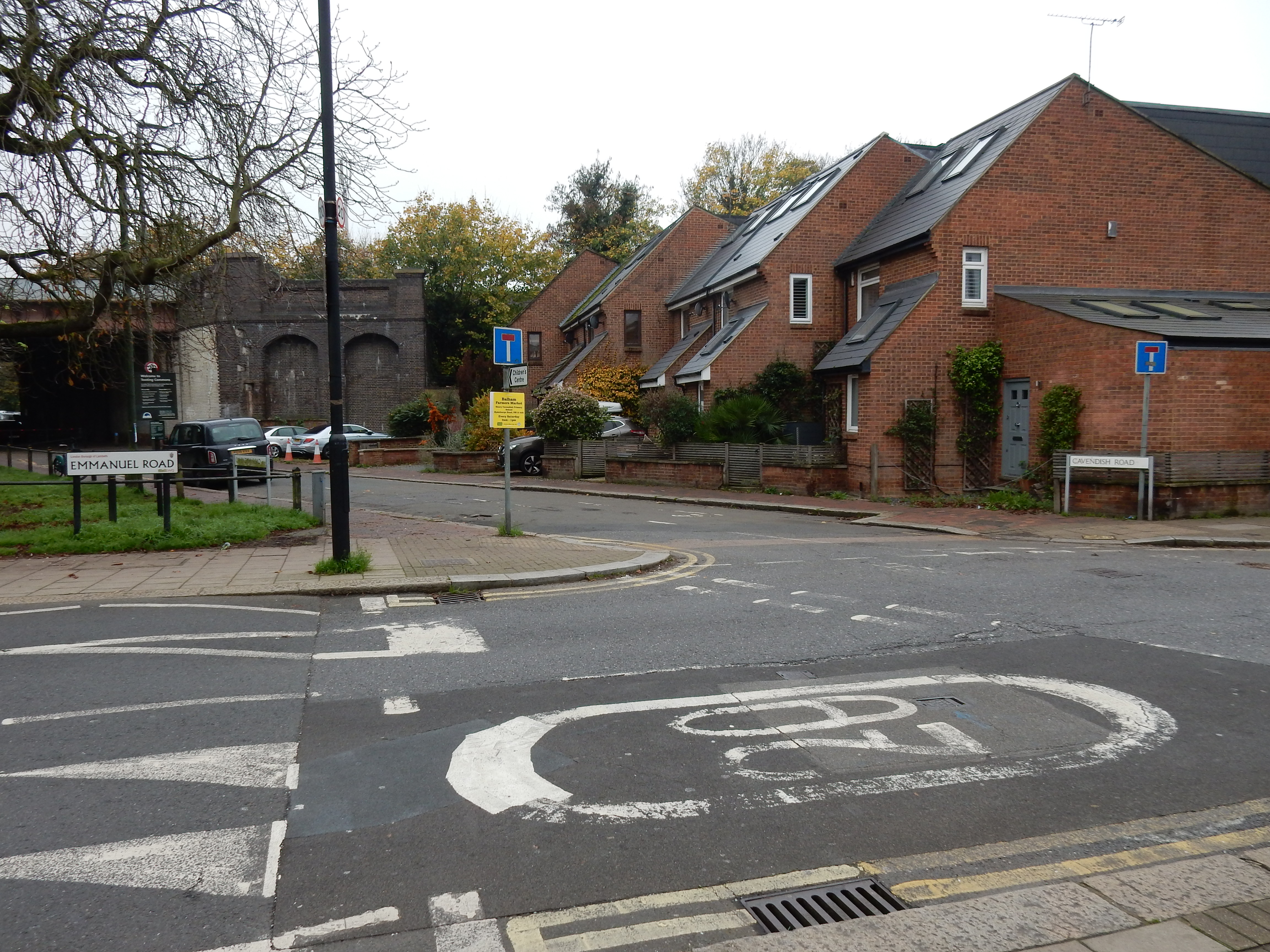
The southern end of Cavendish Road passes Emmanuel Road as it leads underneath the rail line which continues a couple of miles west to Emmanuel School, attended by father during the 1930s. Crossing Tooting Bec involves some dirt paths but, on the day, were still in fair condition. Don't you go hacking your way through undergrowth to reach the café Google Maps shows a little to the west. It's on the other side of the rail line; so not a convenient stop for lunch 😕

Don't panic. Streatham has victuals a-plenty. The Barcelona recommended. Café culture has come some way since my last visit here in the early '60s. Until then my great aunt Mabel had been living in a large block of appartments called 'The High', half a mile up the A23. Mabel retired from a job at the Bank of England and left the Capitol for Littlehampton. The fog you noticed at the start of my journey today was a reminder that, in 1953, the notorious 'smogs' extended to Streatham and took Mabel's mother, my great grandmother, to her grave. Without this incident, might I have remained in London after 1957?
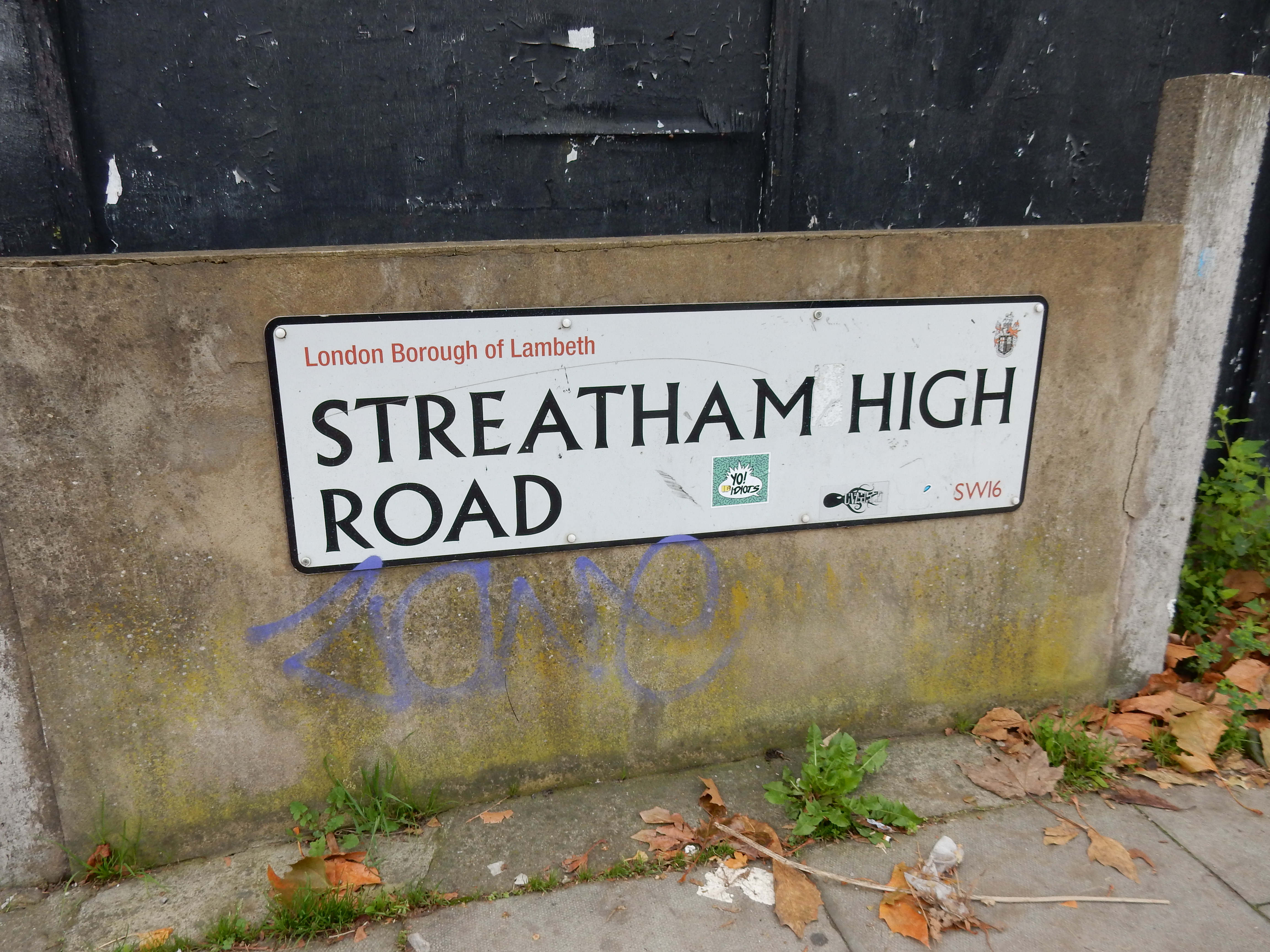
Grandfather South, however, spent most of his remaining years here in Norbury. A survivor of The Somme, he was not much worried by smog. He was likely relieved, though, that his son Gregory was spared Army Service during WW2 and was required only to become a Fire Warden for the area. An irony, perhaps, as Norbury did entail the death in 1984 of Peter, his brother-in-law, also through inhalation of toxic smoke, when parts of the house were destroyed by fire. Books here as I write have pages scorched by this blaze. Other items were converted from heirlooms to ash.
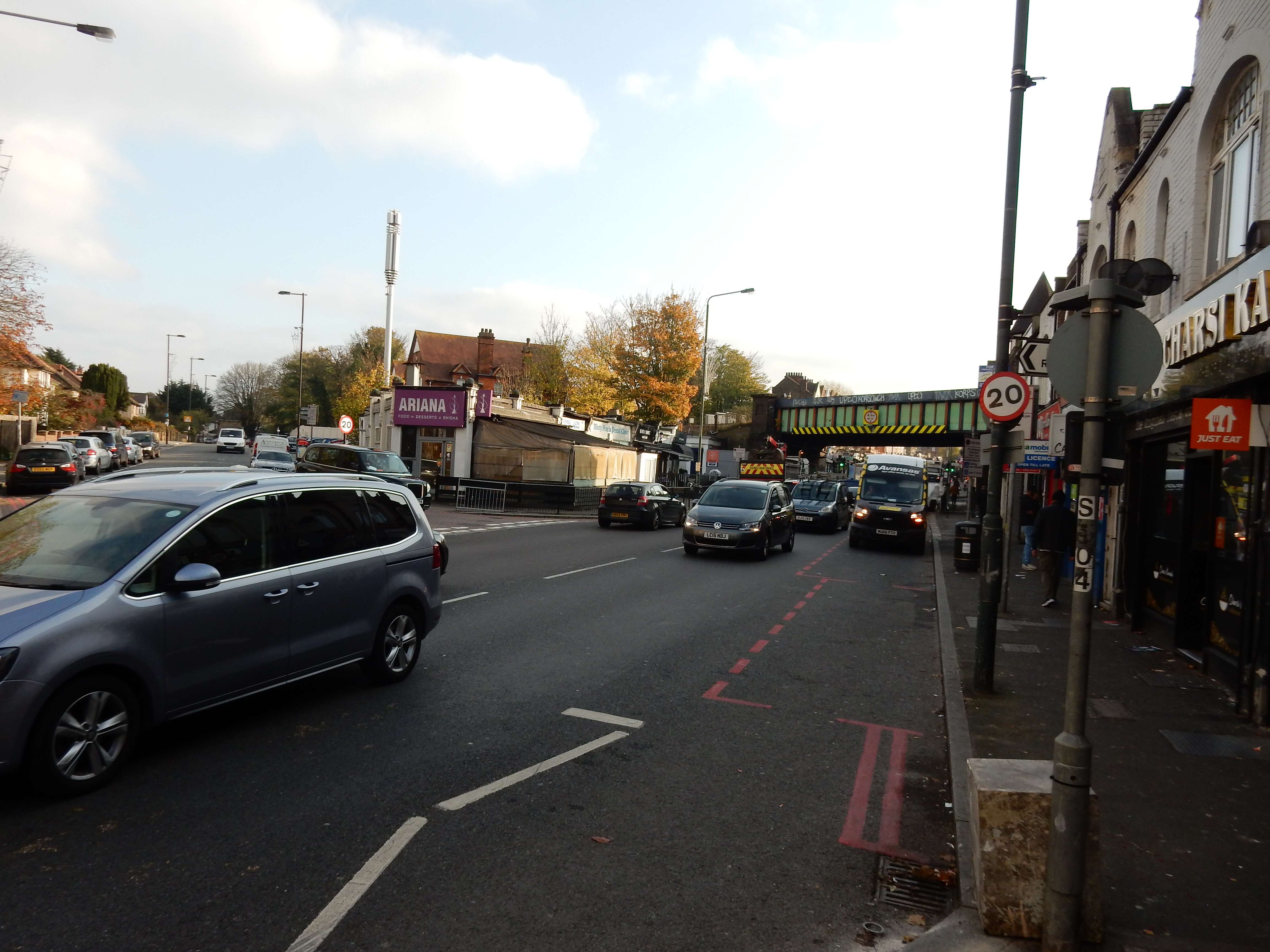
The next two miles straight through Thornton Heath might be classed by some as boring. I settle for that in exchange for tarmac and 4 MPH. Thank you, OS. The blink of an eye does not quite take me to the north of Croydon. Hereabouts uncle Peter held a series of jobs, as a bar staff member, for example.
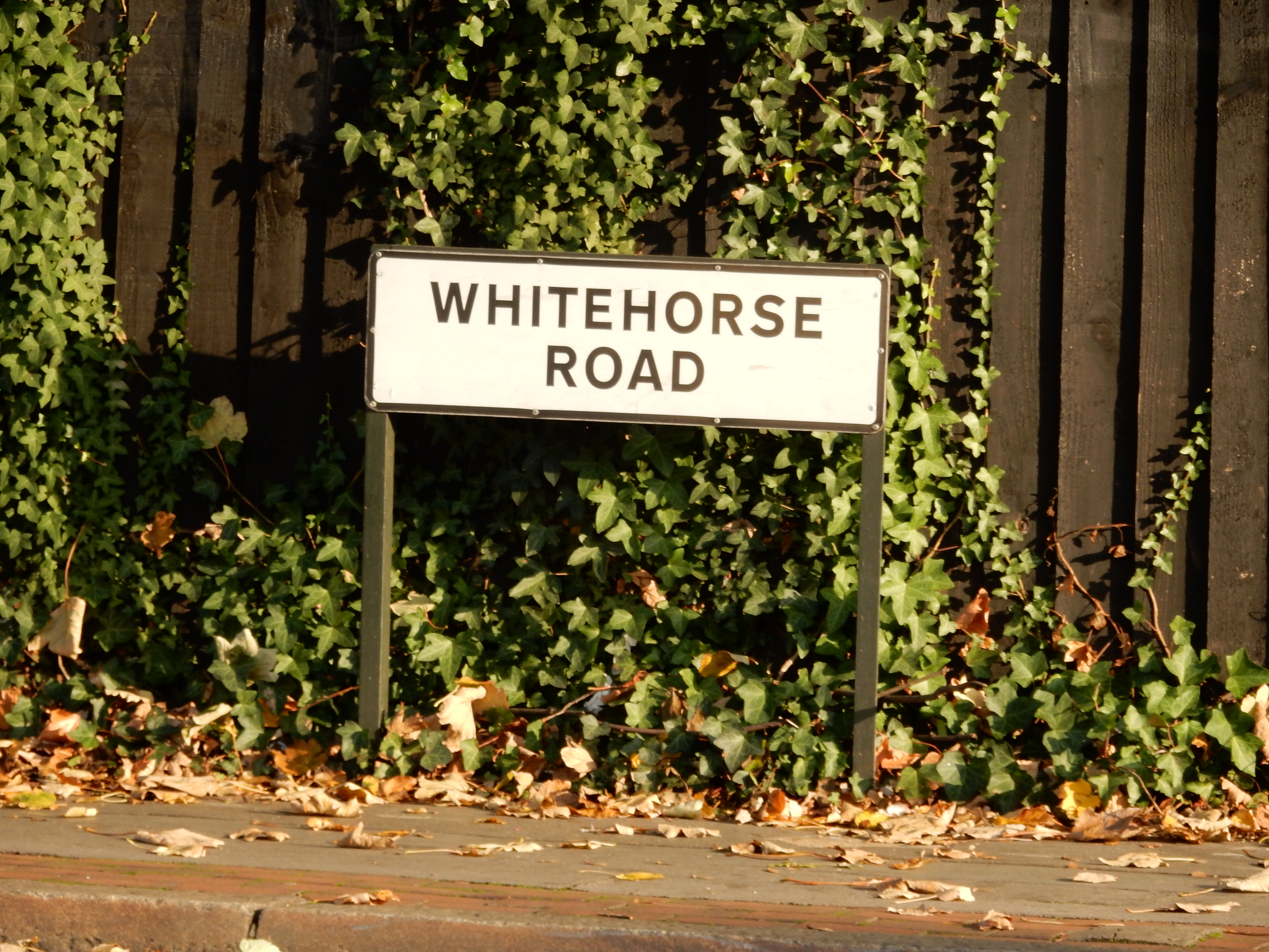
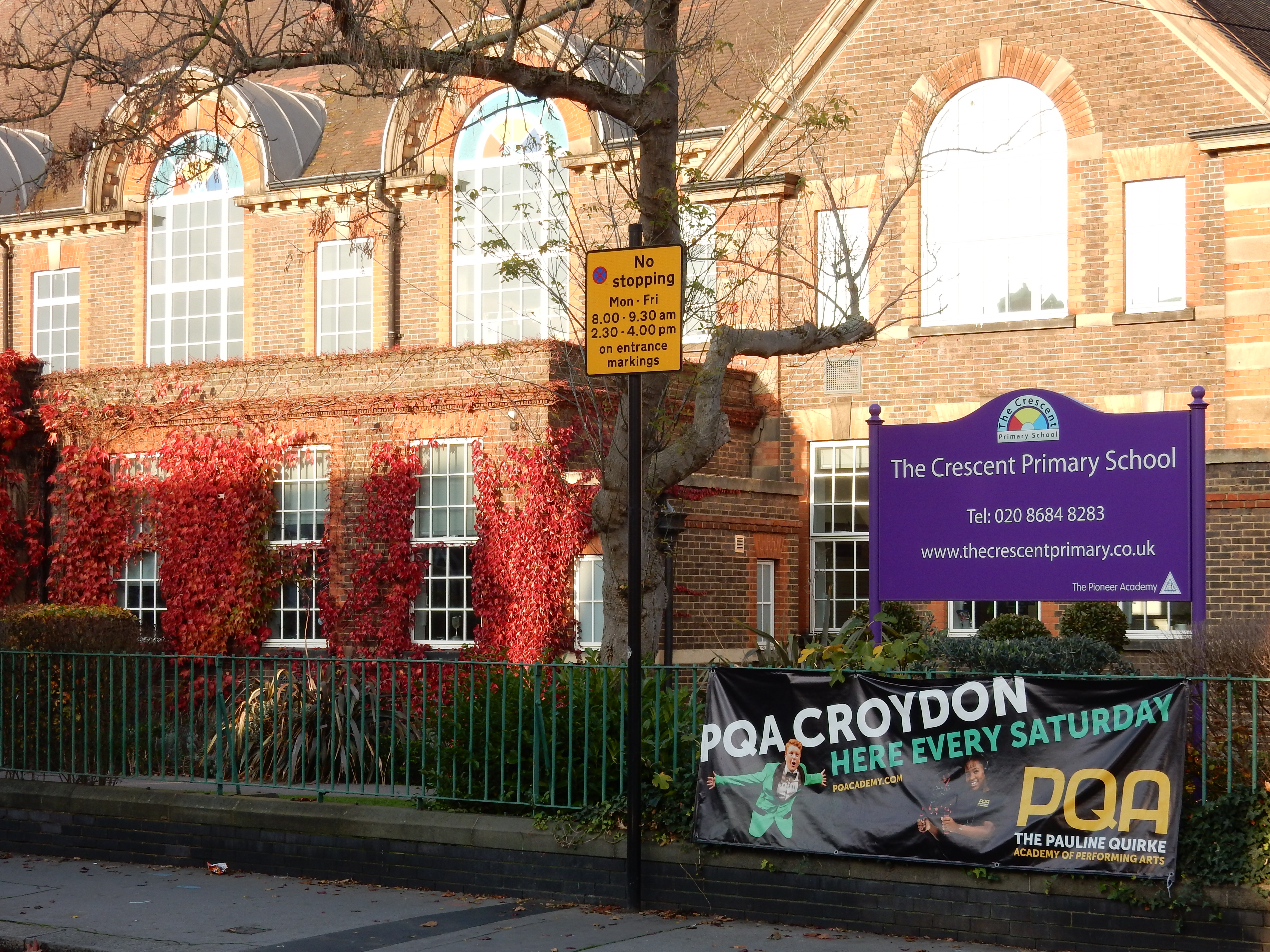
Stay on Whitehorse for just ¼ mile because, through a strange insight, the OS turns left into The Crescent. Sited there today are educational establishments including The BRIT School but, during the '30s, was home to Selhurst Grammar School for Girls where my mother, having won a scholarship, was educated. At Selhurst she flourished academically in most subjects, but the arts especially. The friendships she established there and, during the school's WW2 evacuation to Hove, were life long.
Well, say what you like about Croydon (no, really, feel free) it does not need GPS to find because its skyline is unmistakable. Whilst purchasing my ticket home I am asked by a tourist how to get to Buckingham Palace. "Simple, just walk back the way I came here."