
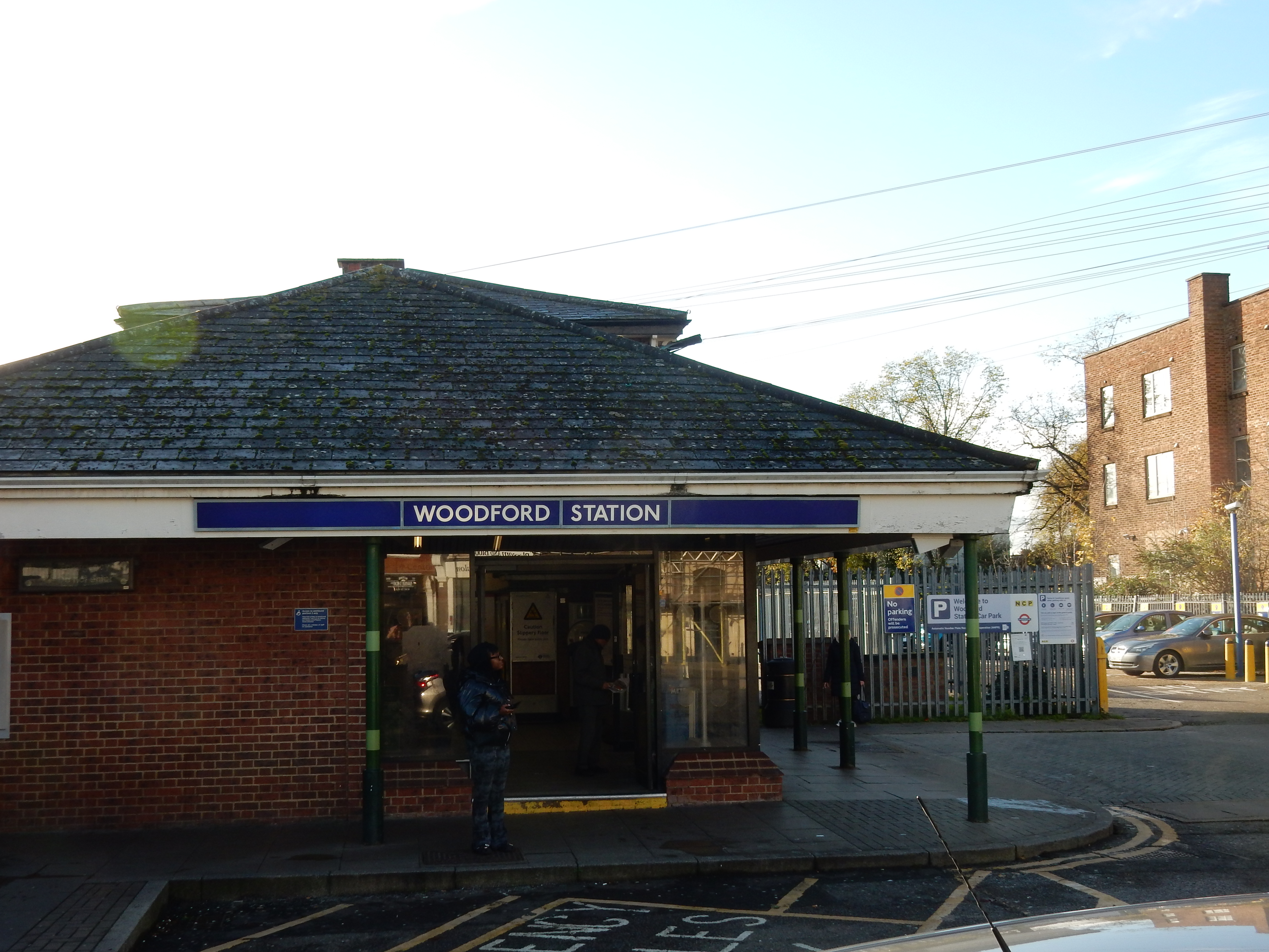
Parametric data
-
Route name:
Woodford E18 tube station to London Bridge Rail Station. -
This route on OS maps:
https://explore.osmaps.com/route/14809321/... . Seeing is believing. -
Distance:
9.5 miles. -
Duration
4.1 hours, even with 'help' from the Maps app. -
Topology:
Point to point (south westward). -
Ascent:
85 metres. Noticeable up Hollybush Hill in Snaresbrook. -
Stiles:
0 (zero). A total not unique to other London Walks. -
Landmark of note:
Danes Yard Tower in Stratford. Initially, the Orbit Tower was dubbed useless and boring. Perhaps the Danes Yard is best at night. -
Feasible excursion:
On this walk, London Bridge itself is not just feasible; it ought to be a no-brainer. See text. -
Avoiding roads:
 You're on pavements from start to finish (apart from the
Thames whimsey).
You're on pavements from start to finish (apart from the
Thames whimsey).
-
Footpath construction:
Not a blade of grass along all ten miles.
-
Footpath condition:
I suppose snow could lower the score, but there wasn't.
-
Refreshments:
Sarnie from Tesco, Stratford, consume at the Greenway. -
Vistas:
 The Greenway
is so flat that you can see a mile along it. In the
opposite direction you also see the
Orbit Tower.
The Greenway
is so flat that you can see a mile along it. In the
opposite direction you also see the
Orbit Tower.
-
Blackberries:
 You would stand a better chance looking for coconuts.


Route map and notes.
An educational excursion.
Dictionary definitions of ramble as 'a walk for pleasure through countryside' seem to exclude the A11, (what's left of it) as it approaches The Capital. Congestion around Whitechapel includes few hay wains, flocks of sheep or rustics leaning over five-bar gates. Might your own perambulation be thus confined by the lexicon? Do you venture beyond, say, the Brecon Beacons, the New Forest or even the Rocky Mountains? Allow me to introduce you to Leytonstone High Street: an altogether different pedestrian experience.
Well, I am here in November because of what the countryside has at present but this walk has not: mud. Call me a fair-weather rambler, if you will, but I feel that going into a slide and ending up face flat in nature[ntr] is getting closer to it than I really need.
The route plan of last week's walk from Victoria was a success of sorts, so I handed the job to the OS Maps app again this week. Its Artificial Intelligence lured me into a false sense of security. Now, whammm, comes the sucker punch.
Everything starts well enough, however, with a long stretch of suburbia from the walk start at Woodford tube station on the Central Line. In my early years, I travelled the Central into town and back many hundreds of times whilst attending college. Accommodation then was in South Woodford, the first stop down the line from Woodford. Most of this period found me in an unprestigious tower block near the end of what is now Queen Mary Avenue. It was pulled down in the '80s, and I am not disappointed that the OS takes me under the North Circular ⅓ mile east of it.
The OS progresses nicely until Falcon Way in Snaresbrook when it makes one of its strange meanders, of about a mile, away from Hermon Hill in favour of Hollybush Hill alongside Leyton Flats. Did it know I was appearing at the Court to plead guilty as charged of being a fair-weather rambler?
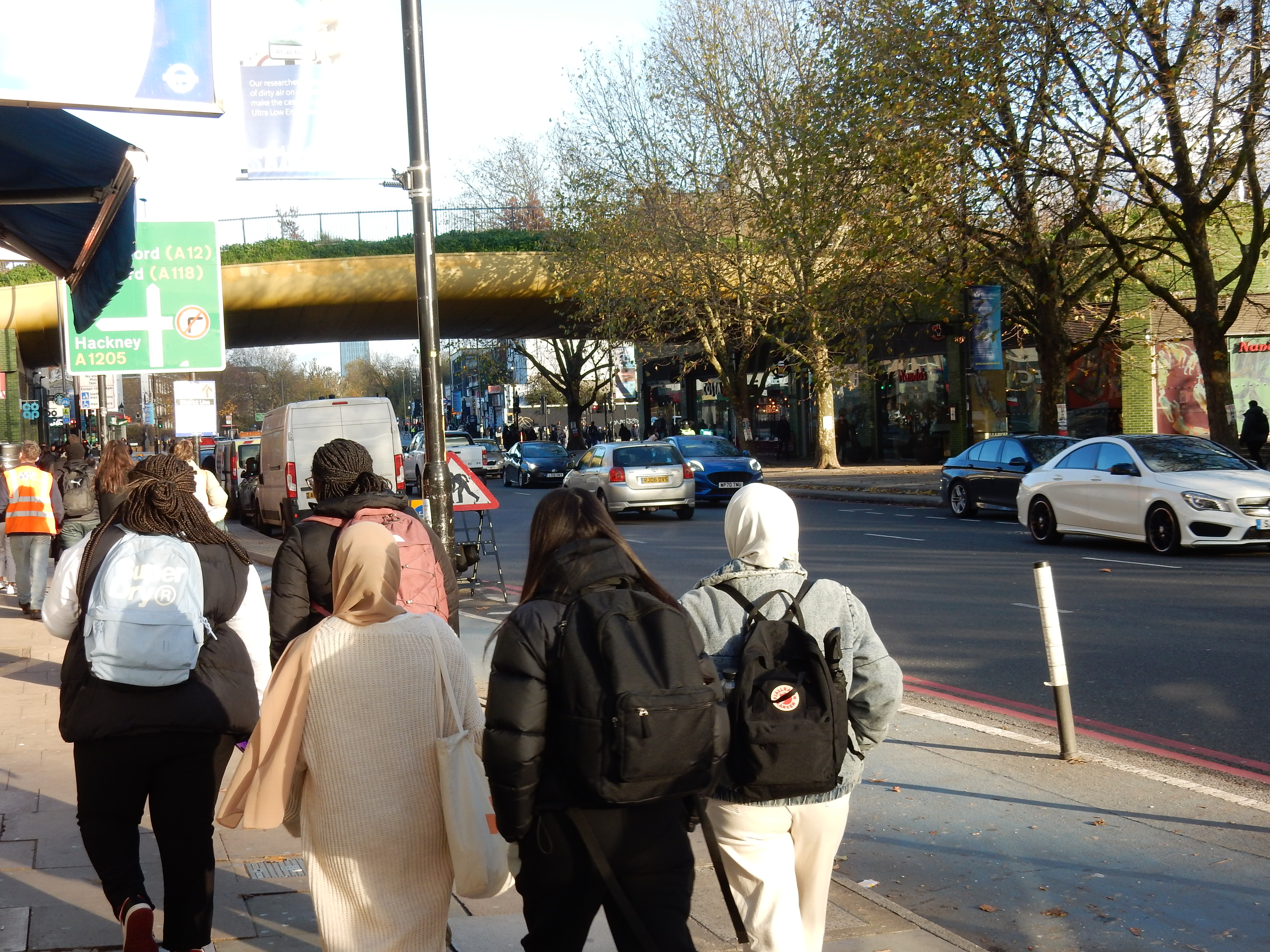
The footpaths under the A12 are so well signed that the OS app is almost out of a job for the next two miles. This is a pity because a meander would have made a welcome alternative to an unvarying diet, over that distance, of take-aways, nail bars, mobile phone repair shops, KFC, launderettes, off-licences, beauty salons, estate agents, coffee houses, bookmakers, tatoo parlours, hair dressers, vaping kit outlets and the 257 bus. I am told the High Street is dying. [Insert droll comment here]. None of those very boutiques were around in the ¢18 when the council decided what went where.

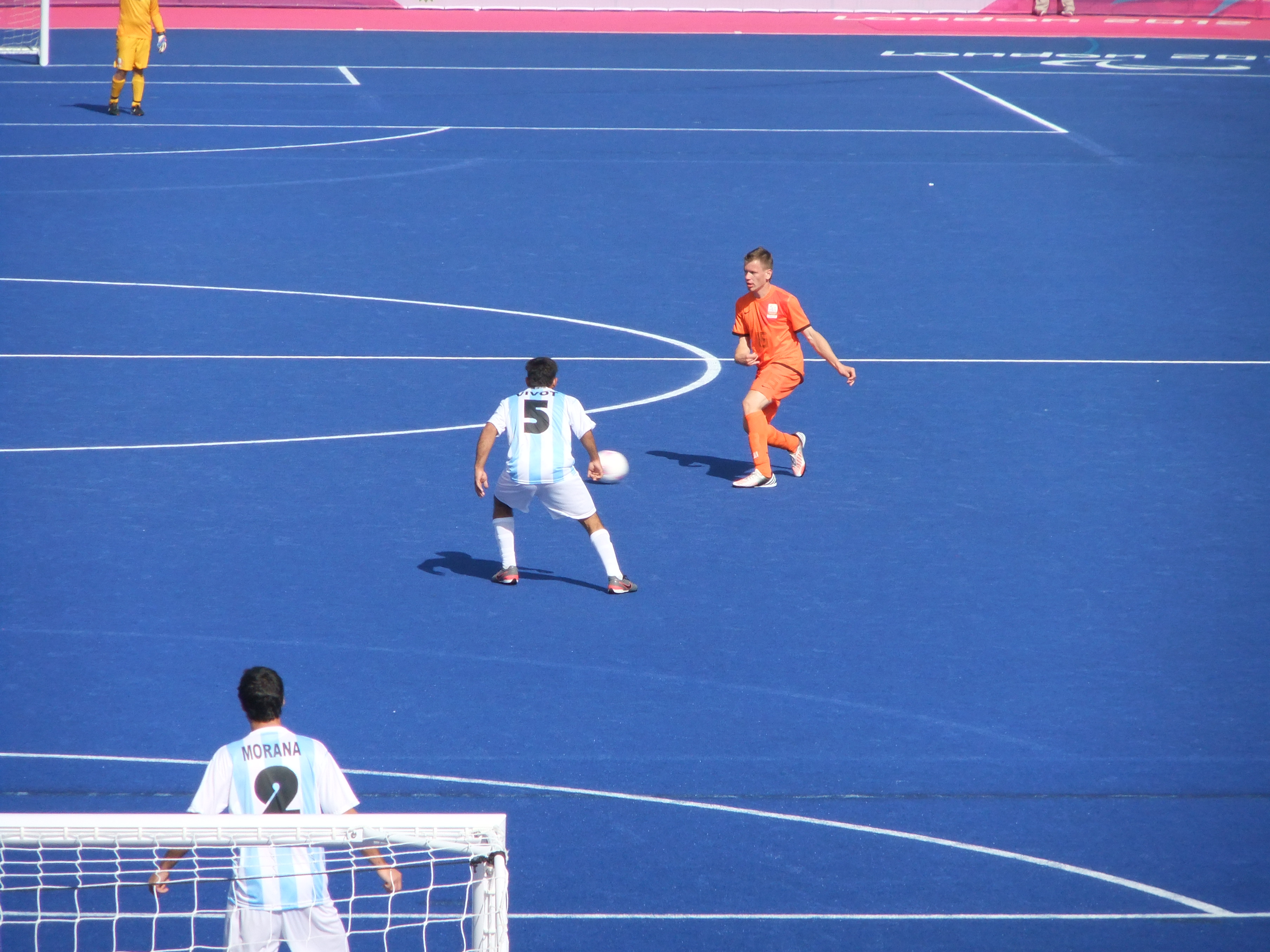
I hasten southward in search of improved scenery and the Stratford Centre because an icy wind blowing down the Lea Valley necessitates a peedestrian break at an early opportunity. Today, GPS decides what is where. Check out its coordinate metadata on this photo taken on the bridge carrying Stratford High Street over the DLR.[zrl] Time now for a bite to eat on the Greenway footpath. An odd name, perhaps, for infrastructure intended for the transport of material of a quite different colour. At least you now have a view. This includes the Orbit Tower over in the Queen Elizabeth Park. Memories return of my previous visit, ten years earlier, to see some footie.

It isn't hard to tell .... Down Below,
If it's Bow or Clerkenwell .... Down below.
For Bow and Clerkenwell have a different sort of smell,
And we know them very well .... Down below.
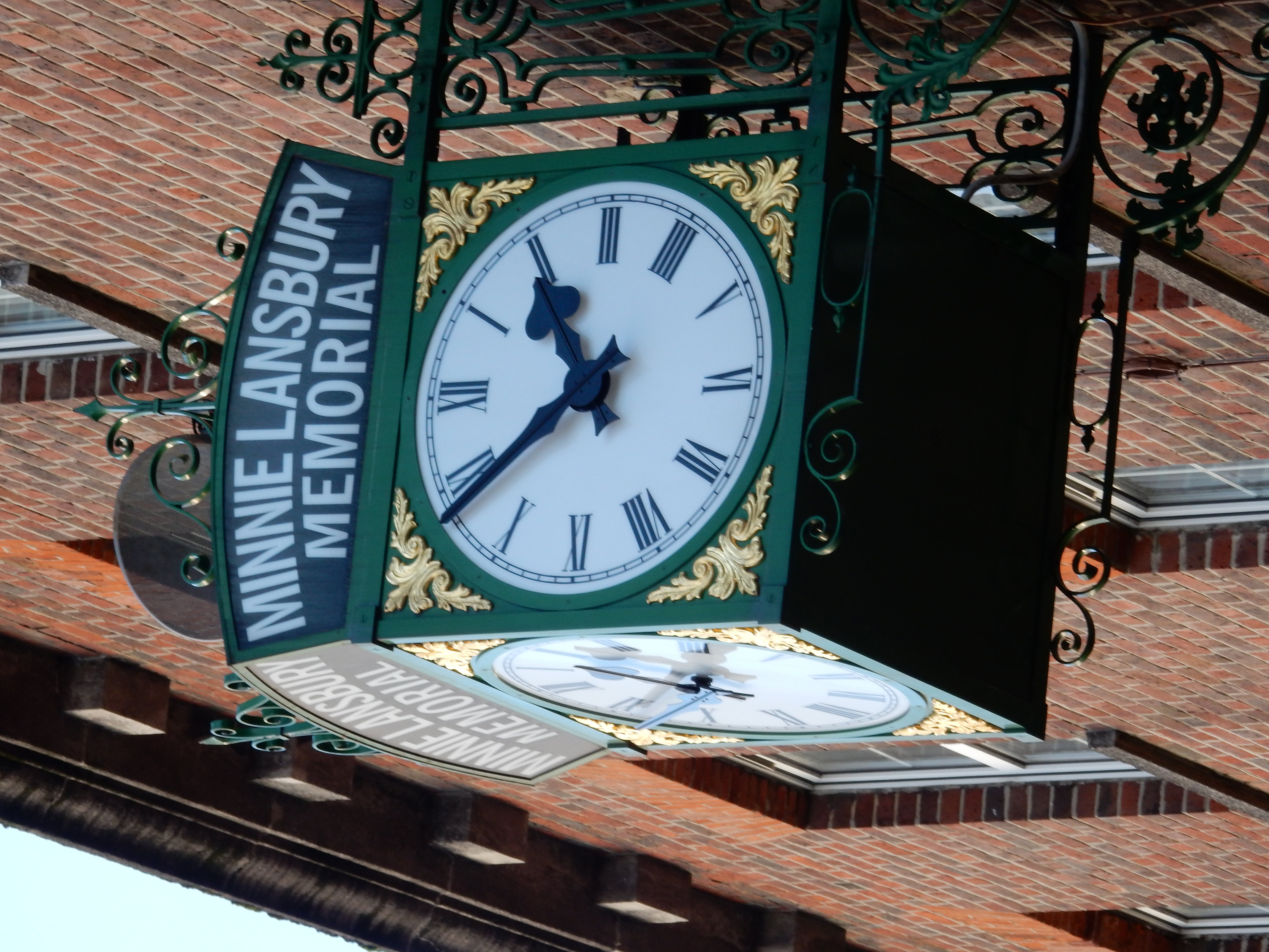
Lunch done, it's back on the trail westward through Bow, past more government themed memorials, and on to Mile End tube: terminus of my '70s commute to the People's Palace. The landscape is now unfamiliar. Parts have certainly changed; the 'Green Bridge' taking Mile End Park over the road, for example. Others just went unnoticed, such as the Regent's Canal, which was indeed around in 1974, yea 1874 when a barge transporting five tons of gunpowder blew up. An interest in history comes only on approach to the day we become it. The barge disappeared, as has the café here in the Law Building, where I took luncheon with other undergraduate engineers spending the rest of their day over Bancroft Road.[qfc]


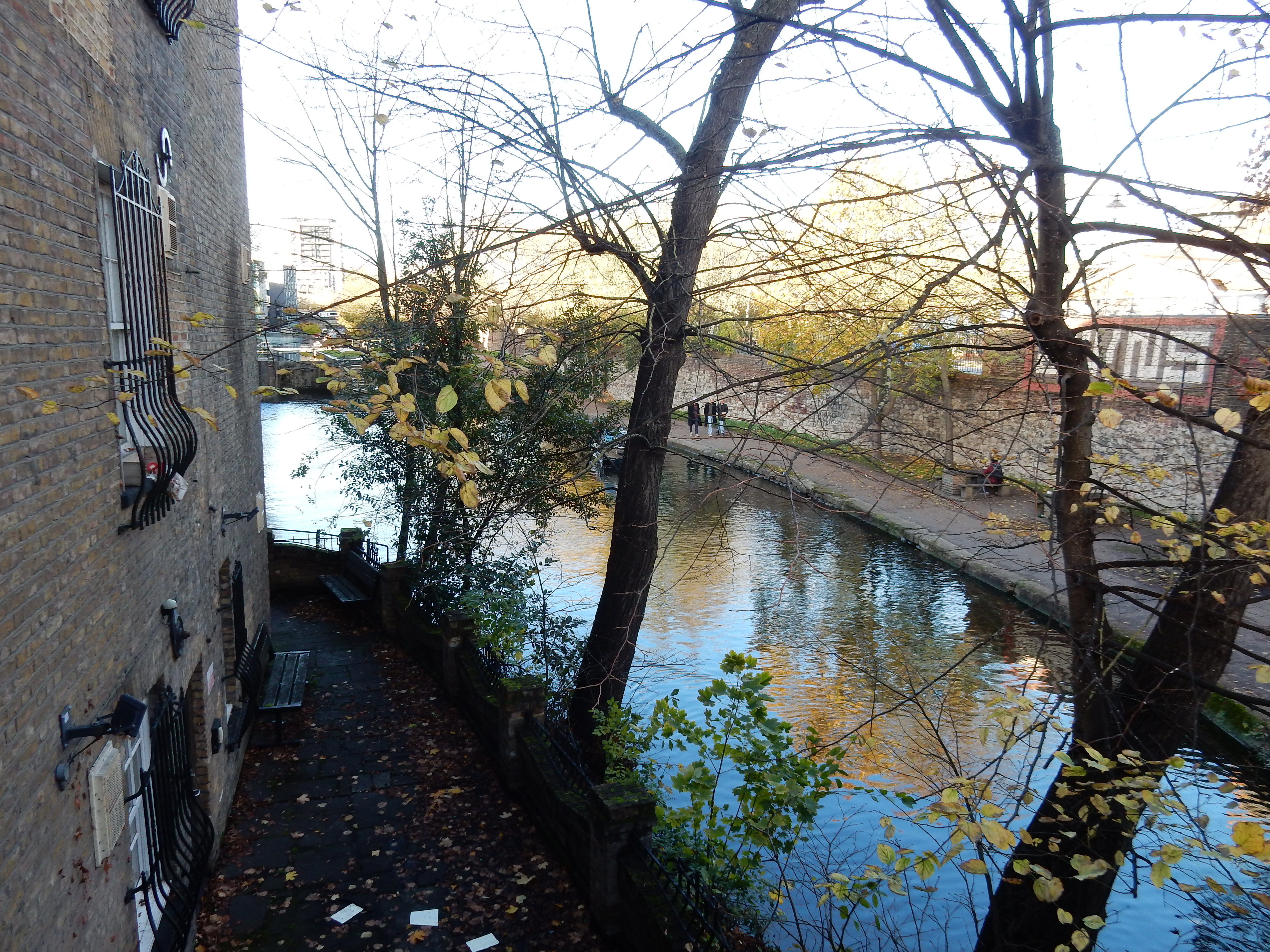
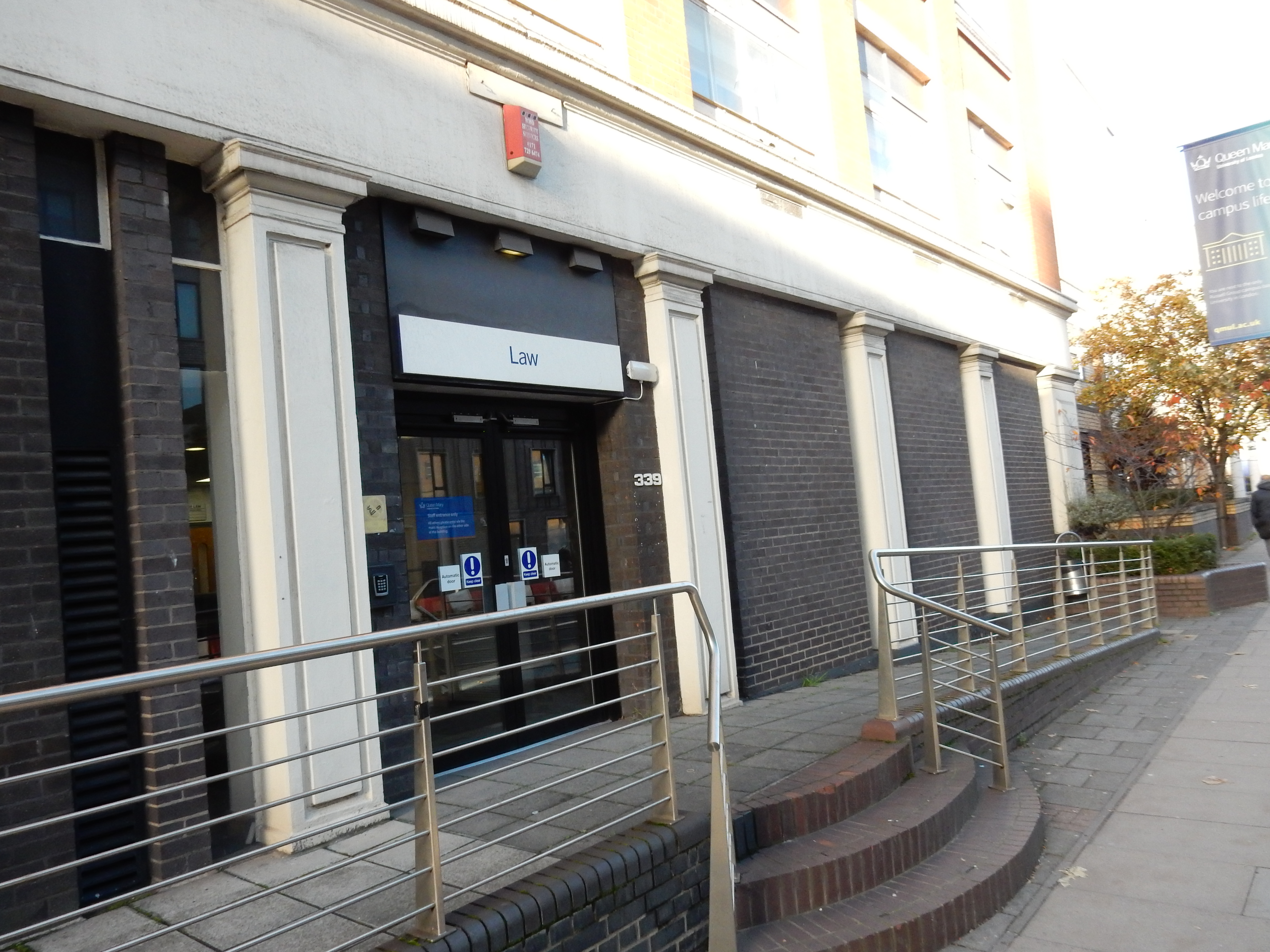
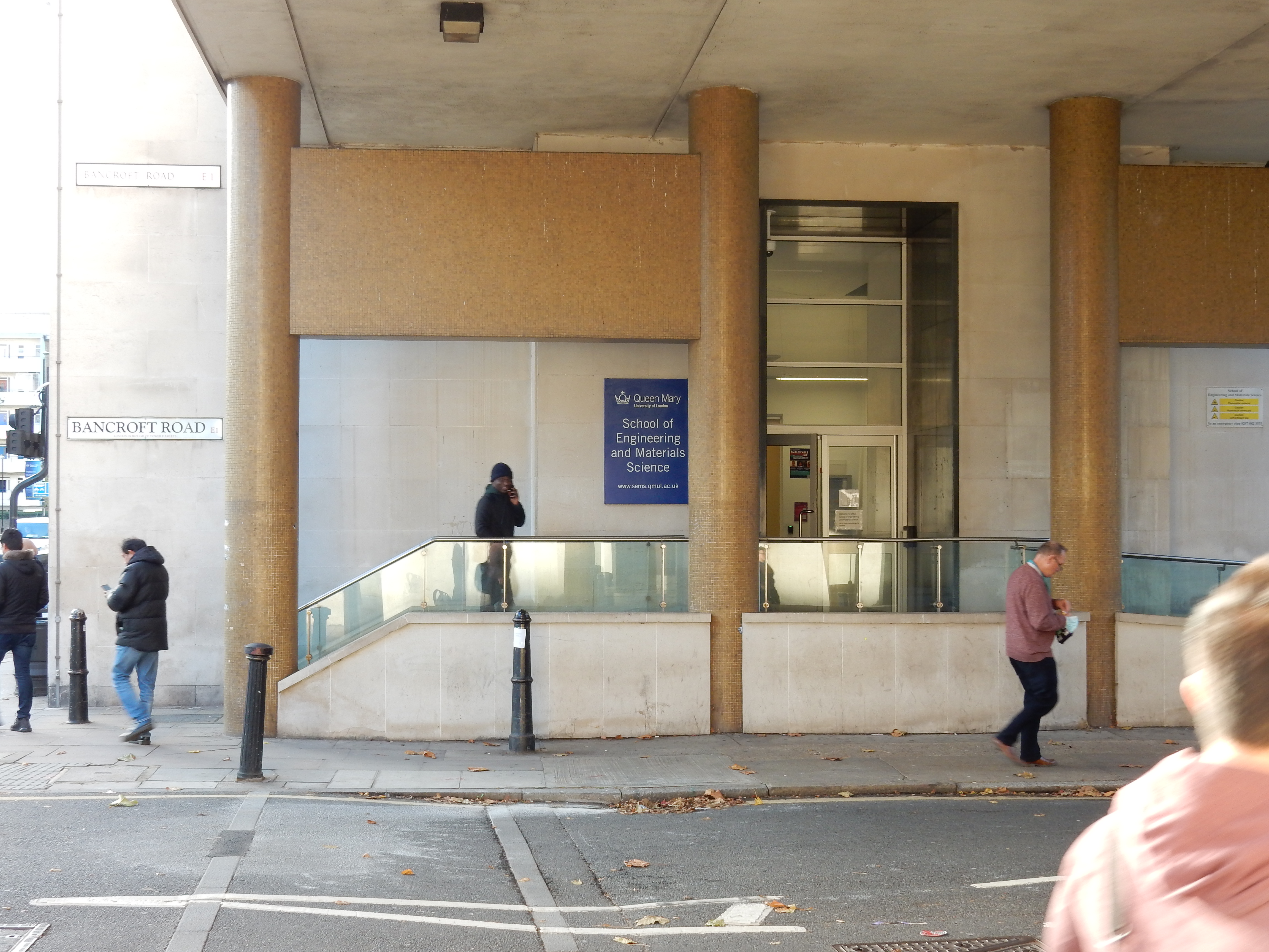
Onwards through Stepney where further street art celebrates William and Catherine Booth. After WW2, all William's Army couldn't put Stepney together again. No statues here to its then residents. The Army had long been criticized, not least in the work of Bernard Shaw; a set text for me at school.

As the afternoon wears on into Whitechapel and Aldgate. it starts to feel as though I go against the flow of people leaving the City, whose landmarks such as the Gherkin and the Walkie Talkie begin to loom. Nearing the end of the A11, I keep checking the GPS for the left turn it seems to want. Unfortunately, tall buildings and GPS do not mix and I overshoot Jewry Street, going down Fenchurch instead.
A few minutes later, I manage to retrace my steps, passing Fenchurch Street Station and onto Tower Hill. A year earlier I reached London Bridge Station from here, by way of Tower Bridge, without much trouble. Whatever the OS wants, it isn't that, so I drift along the wrong side of Byward Street and, eventually, find myself at the Tower Riverbus Terminal. Eh?
Lest there be any doubt, I had asked the OS for a walking route from Woodford to Southwark. I placed no limit to how long the route could be. The OS had dutifully avoided other means of transport thus far on my journey. Now, the mobile 'phone is a magnificent item of technology but I doubt that it can do time travel back before the year AD 43 when a bridge across the Thames was not an option.
Might the bus have proved expeditious? No, I had to wait ten minutes for a westbound one to arrive. That would comfortably have got me across on foot. Was it cheaper? Compare five calories and 0.01 millimetres of shoe leather against £7.70 for the bus. As the latter completes the one minute crossing to tie up at the pier on the south bank, I finally understand the the Ordnance: it thinks that London Bridge has been taken away to Lake Havasu City, Arizona, where it is unviable as a Thames crossing. AI, my eye.