
Parametric data
-
Route name:
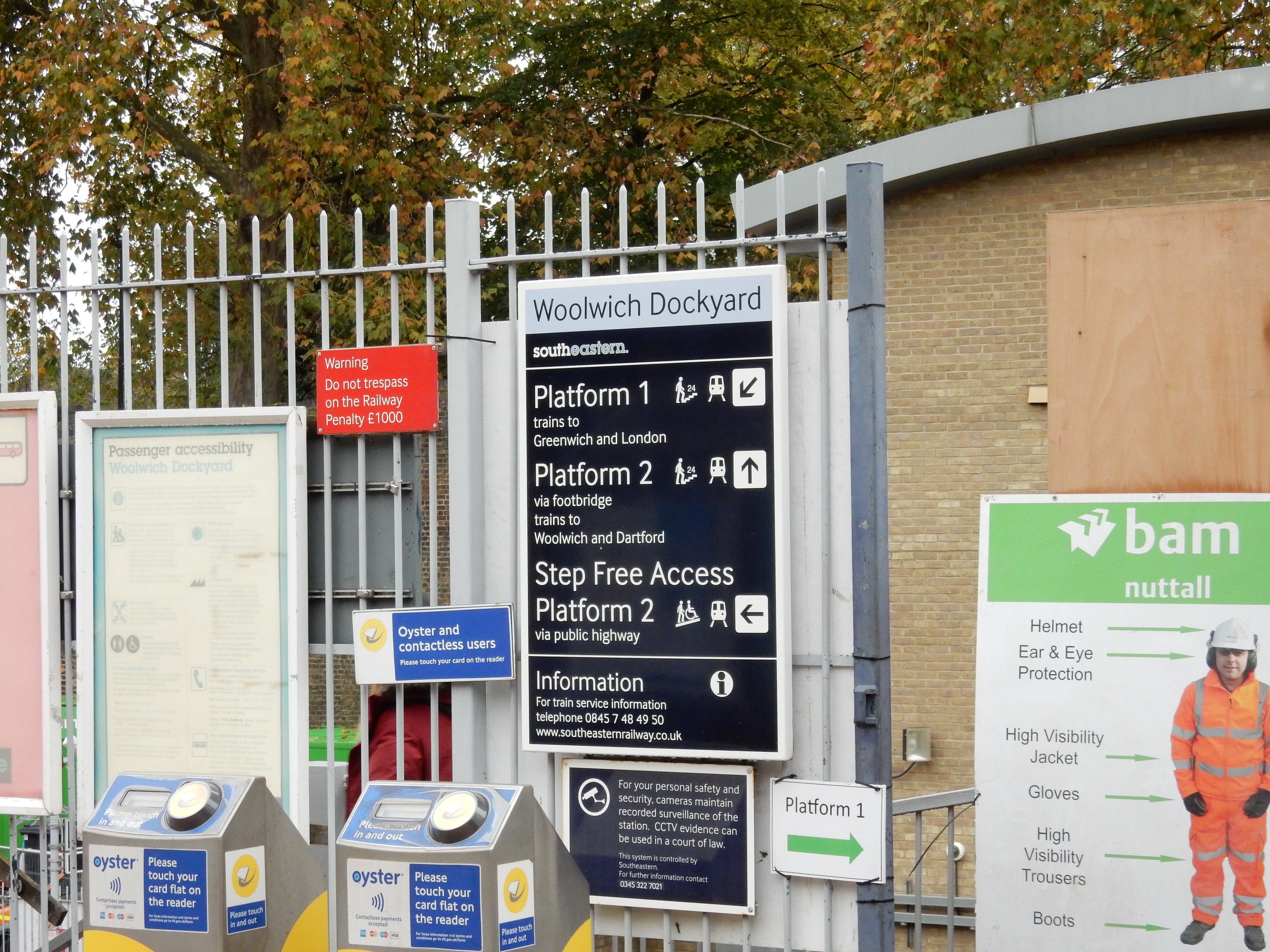
Woolwich Dockyard rail station to Victoria rail station. -
This route on OS maps:
https://explore.osmaps.com/route/14892778/... . -
Distance:
10 miles. -
Duration
3.8 hours. -
Topology:
Point to point (Westward). -
Ascent:
76 metres. This isn't a hill walk. -
Stiles:
0 (zero). These disappeared from Greenwich some years ago. -
Landmark of note:
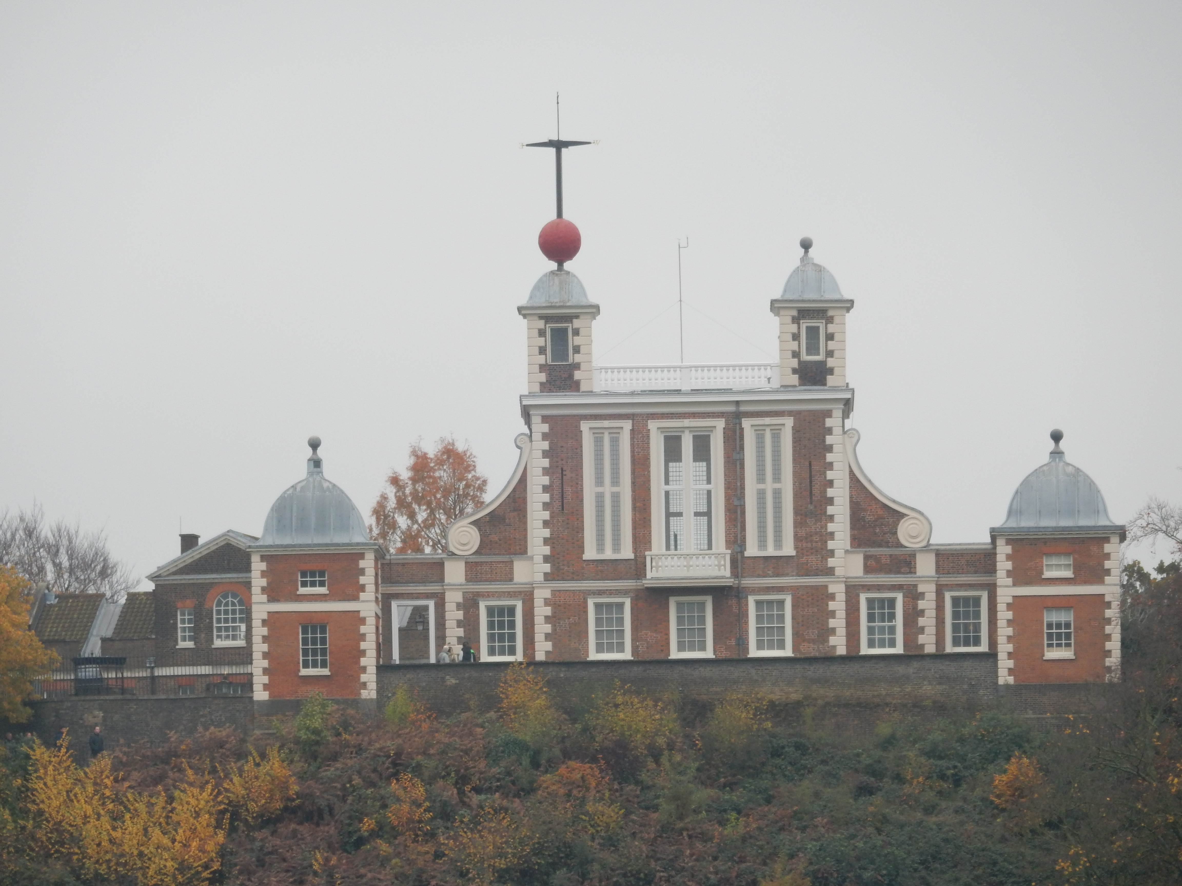
The Royal Observatory serves as well today as in centuries past. -
Feasible excursion:
The belated divergence from the A206 is re-classified as a feature, not a bug, of this route. -
Avoiding roads:
 The OS app carefully avoids even parks to stay on
footways. I ignore its pointless instructions to cross
the road every hundred metres. Had I not also ignored
it when requiring me to walk down the middle of the A2
then I could not now document my reticence.
The OS app carefully avoids even parks to stay on
footways. I ignore its pointless instructions to cross
the road every hundred metres. Had I not also ignored
it when requiring me to walk down the middle of the A2
then I could not now document my reticence.
-
Footpath construction:
Tarmac for breakfast, lunch and dinner.
-
Footpath condition:
Plenty of wet leaves but doubtless
cousin Tom
endured worse than them.
-
Refreshments:
Sarnie from Tesco, consume at Burgess Park, a short distance into which the roar from the A2 diminishes; and is then replaced by 110 decibels from a blaster 🤫 -
Vistas:
 The river at Greenwich and at Lambeth.
-
Blackberries:
 We get a lot from Westminster, but not these.
Route map and notes.
I see nothing wrong with power as long
as I am the fellow who has it.
Cecil King, chairman of the Daily Mirror.
This represents the fourth of my walks through central London, and already I dream of warmer, drier weather and a return to Sussex countryside. You do not always experience the scent of roses in the vicinity of Gatwick but, here today, the chilly north wind is insufficient to dispel fog lingering around the Thames Valley and succeeds only in bringing olfactory indication of rotting leaves or, perhaps, something worse.
The dockyard at the start of this walk was likely never much visited by those in search of health benefits. For a reason we shall see later the other end of the walk is more salubrious. Best make haste (and I do, at a personal best speed for a walk).

Initial progress is not good, though, because my GPS hates going between tower blocks where the signal has a hard time. It's not wonderful news because I again gave the route planning job to the OS Maps 'app', and have merely a vague inkling that progress westwards is required. My 'phone has been on 'low power mode' since leaving home but is already down to 70%. It bodes not well for the remainder of the walk.
Soon enough, however, you are on the A206 and, in fact, will be for the next two miles, so my second mistake is to assume that I simply follow it until I hit the River. Now, if I still watched TV, then I might be irked by present wall-to-wall coverage of a certain sporting event. The name 'Charlton Athletic' only ever went in one ear and out the other. That it applies to a team based in this area of the Capital is something I learn only today. My debut on Mastermind cannot now be far off.
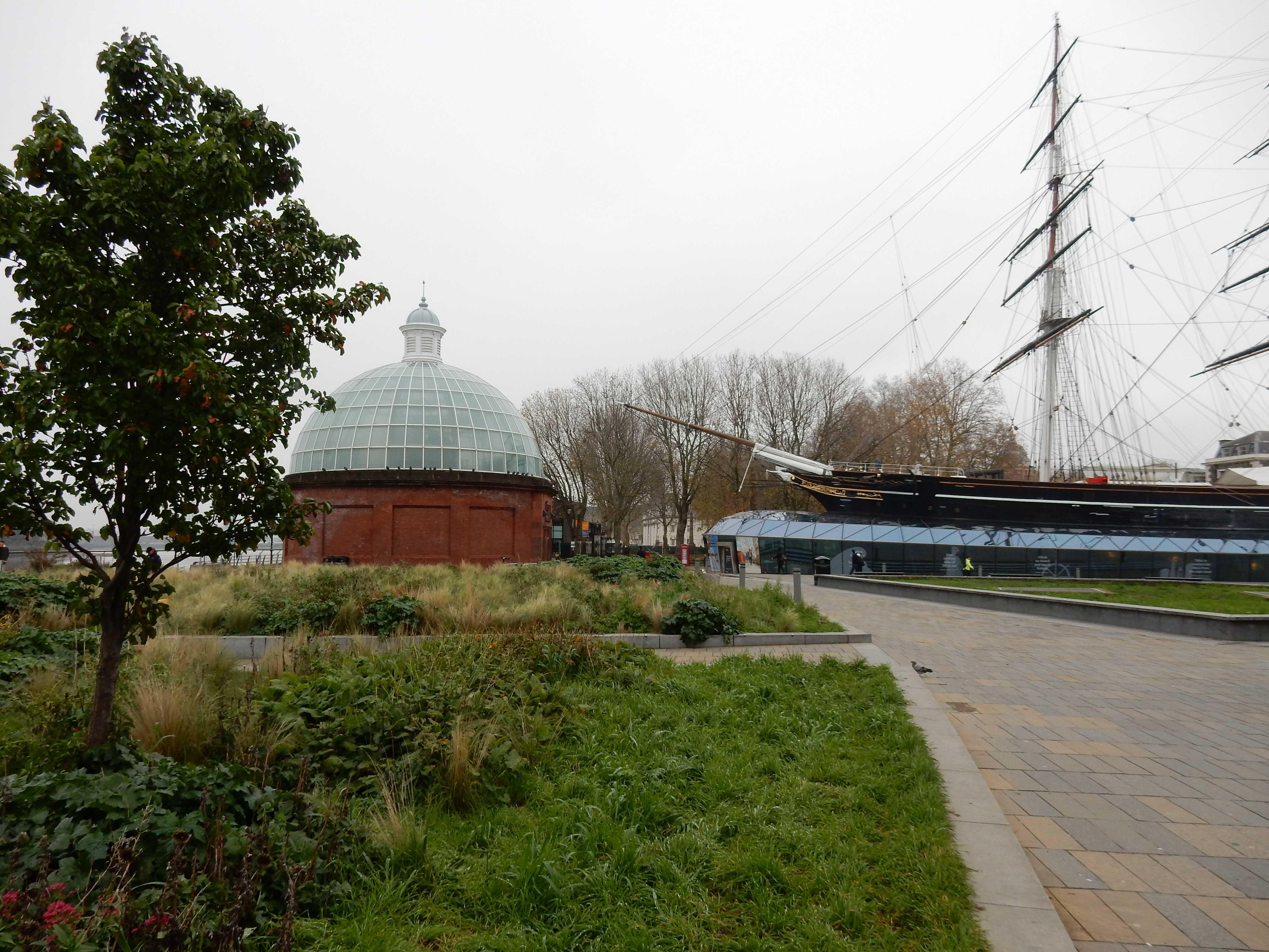
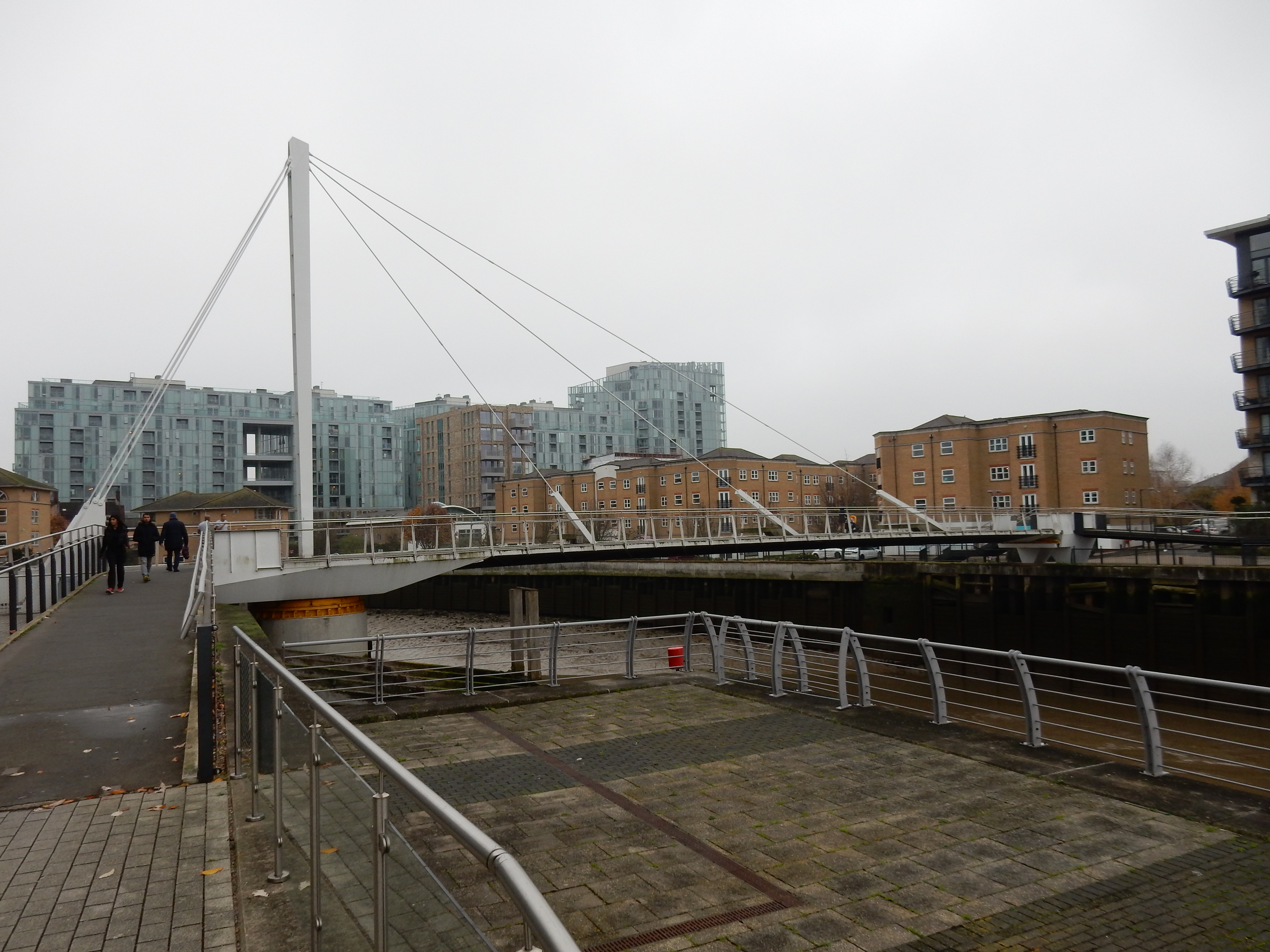
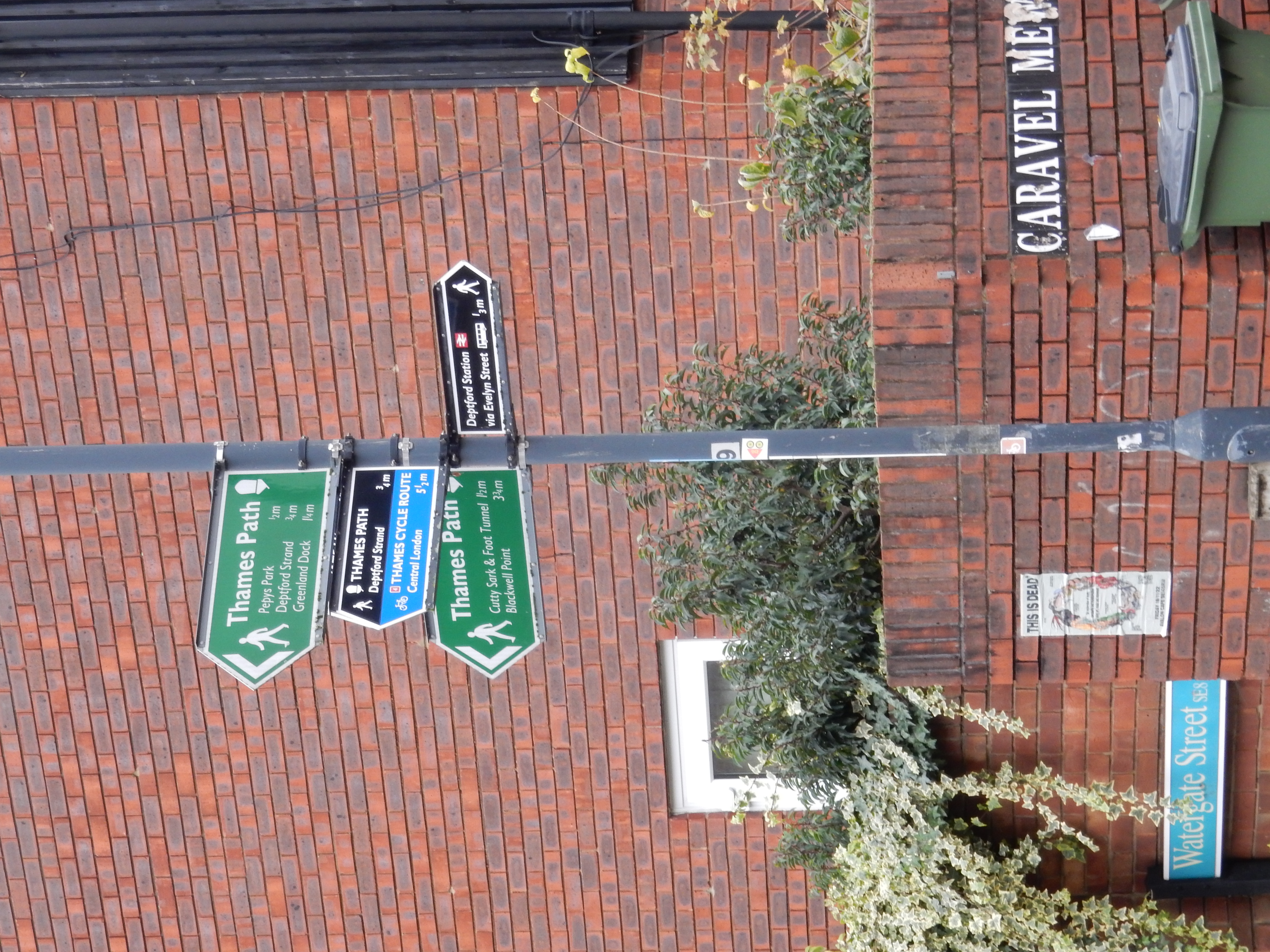
Unfortunately, your travel-guide genius misses the right fork after Blackwall Lane and continues to plod along the 206. So this familiar landmark appears quite unexpectedly. Its rôle in centuries past featured in his perambulation the previous week. The error is recoverable, so soon is observed another item of nautical history: the Cutty Sark. For a short distance, you can enjoy the wonder that is the Thames Path. The persistant fog does not hide the elegant footbridge over Deptford Creek. Sadly, the western end of Glaisher Street hits a gnarly bit of path that forces walkers away from the river. The GPS refuses to take up the slack and I miss the subtle clue that might have saved a retrace of steps. ⅔ of a mile later I dive into Folkestone Gardens under the rail line that brought me from London Bridge an hour or two earlier.
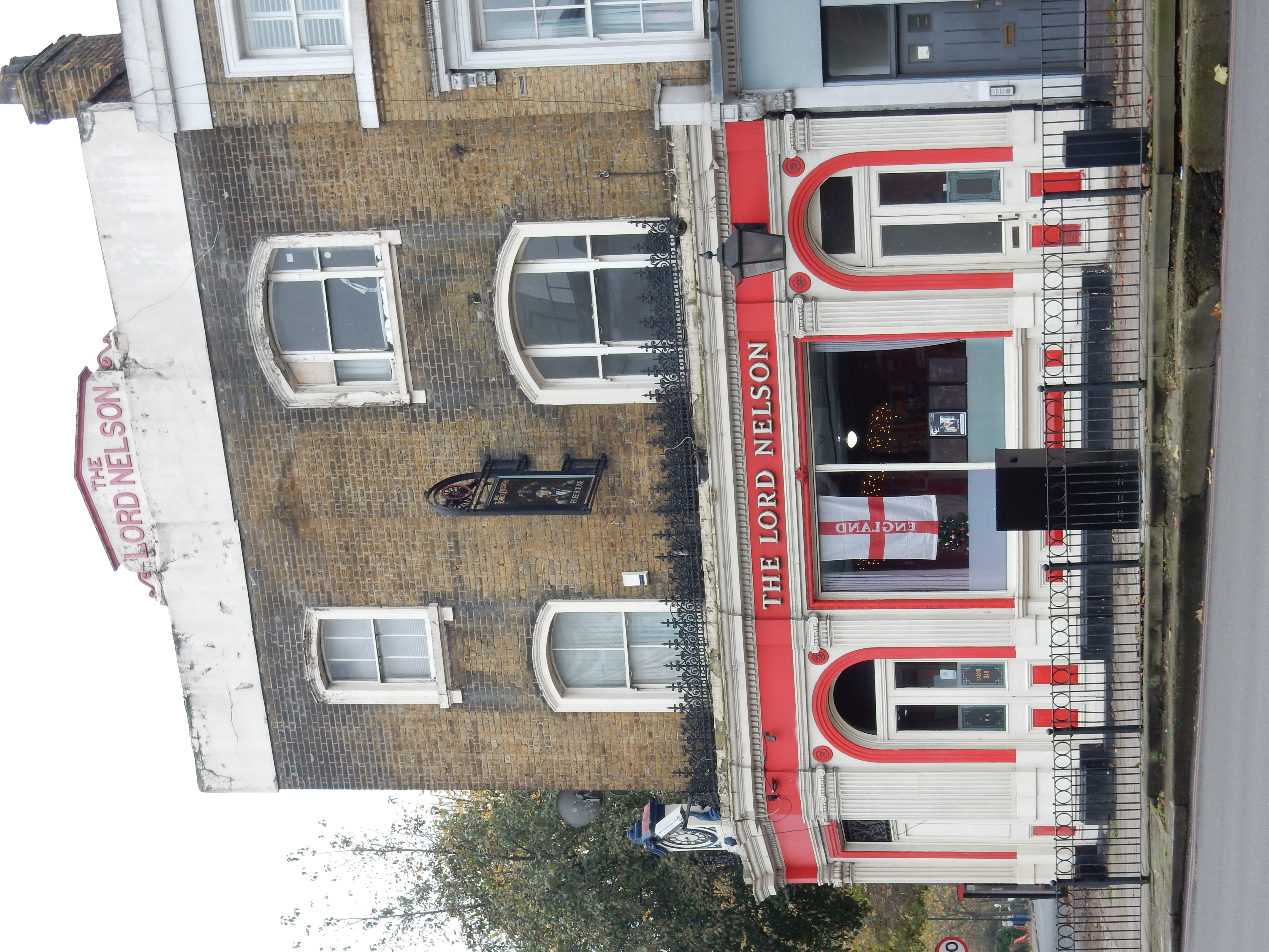
Surrey Canal Road probably seems less long, straight and boring to me than the traffic queuing there for the lights at Ilderton Road; it's moving slower than I am. My gloat does not survive Verney Road; Vehicle repair businesses to my left and housing estate to the right for ½ mile through South Bermondsey. Better news appears at its end: the Old Kent Road. Lunch, if nothing better, is in sight. Pub names took a bit of a battering in the ¢20. This one I would deem a survivor from the ¢19. Did his Lordship splice the mainbrace at this specific hostelry? Neither Google nor family legend care to comment. Abord his own ship, distant relative Charles Clarke maintained a stock of wallop sufficient for his nibs and every sailor under them both.[ggz] Raise a toast, then, to His Majesty King George (which Tom Crossfield would not have done).

Rather than continue along New Kent Road the Ordnance goes meandering round back streets as it tries to reach the Elephant. My battery sinking below 30%, I humour the OS with considerable reluctance - not eased by having to negotiate acres of building works. More despite the Ordnance than because of it, I make Longville Road; entirely forgettable except for a glimpse of the Kennington water tower. It's no use begging for a simple route to Lambeth when the OS wants to cut through the China Walk Estate. Don't imagine, either, that once you're across Lambeth Bridge that the Ordnance is out of options for deceit on an epic scale. Best ignore its lurch down Thorney Street and just keep plodding along Horseferry.
Eventually, this strategy pays off and you enter the station. Now you're stumped because you have no juice left to ask the railway app to figure out the right platform. Come back George Bradshaw. No traveller in your time suffered a flat battery.