
Parametric data
- Route name:
- GuildfordD
- Start point:
- Guildford.
- End point:
- Dorking.
- This route on OS maps:
- https://explore.osmaps.com/route/17156516/ ...
- OS Explorer sheet ref(s):
- 145 and 146.
- Distance:
- 11.9 miles walked, 10.4 miles flown.
- :
- 5.0 hours.[1]
- Ascent:
- 338 metres.
- Stiles:
- 0 (zero). These are replaced by gates.
- Landmark of note:
- Pewley semaphore.
- Feasible excursion:
- There may be a footpath running to the north of White Lane directly to Newland's Corner. Next time.
- Waypoints:
- Pewley Down, Newlands Corner, Shere, Netley Park, Westcott, Ranmore.
- Refreshments:
- Coffee at Starbucks Guildford. Sandwich lunch Newlands Corner.
-
: -
 16°C,[2] 🌫️
completely overcast at the start, completely cloud free at
the end.
16°C,[2] 🌫️
completely overcast at the start, completely cloud free at
the end.
-
Avoiding roads: -
 White Lane, some traffic, adequate verges (but see
excursion). Staple Lane, light traffic only.
White Lane, some traffic, adequate verges (but see
excursion). Staple Lane, light traffic only.
-
Footpath construction: -
 There's much decent
BLA, but dirt is what to expect.
There's much decent
BLA, but dirt is what to expect.
-
Footpath condition: -
 Hideous.
-
Vistas: -
 There is one at Newlands Corner and one at Pewley.
Blackberries:-
Lots of woodland opportunities in late
summer.[3]
Route map.
Walk notes.
This walk stands in for Section #2 of the North Downs Way National Trail (NDW), and folllows on from Section #1 that I completed in September 2023. The endpoints only approximate the NDW, but the proper route will be undertaken in due course. It's a promise.The phrase 'ill-fated', you must agree, is a stinker of a cliché that no author of high accomplishments (like wot I write) ought ever to use. Unfortunately, today's expedition falls into that category so squarely that Peter Mark Roget suggests no fitting alternative. Today counts as one of my 'accidental' walks. Rather than a carefully considered itinerary, it is arranged as much by force of circumstance as anything else. For most of the winter I have been walking routes restricted to The Wen.[4] Unfortunately, train services into Victoria have been disrupted, so an alternative venue becomes necessary. All this walking in Town revives a longing for the Surrey Hills again. It's time to try out the North Downs Way. Or, is it? I resort to The Wen for my walks in winter mostly because a stroll down the Strand rarely results in any pedestrian sinking into a nine foot deep pothole filled with mud. At any time of year. Not so across wealden clay. Really, I know this to be true but, time and again, wishful thinking overpowers common sense.
True, the rain has tipped down without a pause for the past week, but optimism argues that, as high ground, water naturally wants off the Downs. Being made mostly from chalk, not clay, proper mud cannot be formed from them. Look at the Way on Google Earth. Nice, clean white paths without a drop of visible moisture, let alone mud. Whoopee, let's go.
For uninteresting reasons, I miss my train, and the one following is cancelled, so it's near 11:30 before I arrive in Guildford. If the going is as good as I have convinced myself it will be, then there is still time to reach Dorking before sunset but I fritter a further 15 minutes buying a sandwich at the station despite it being a near certainty that I won't now reach Newlands Corner (where there is food aplenty) before lunch time.
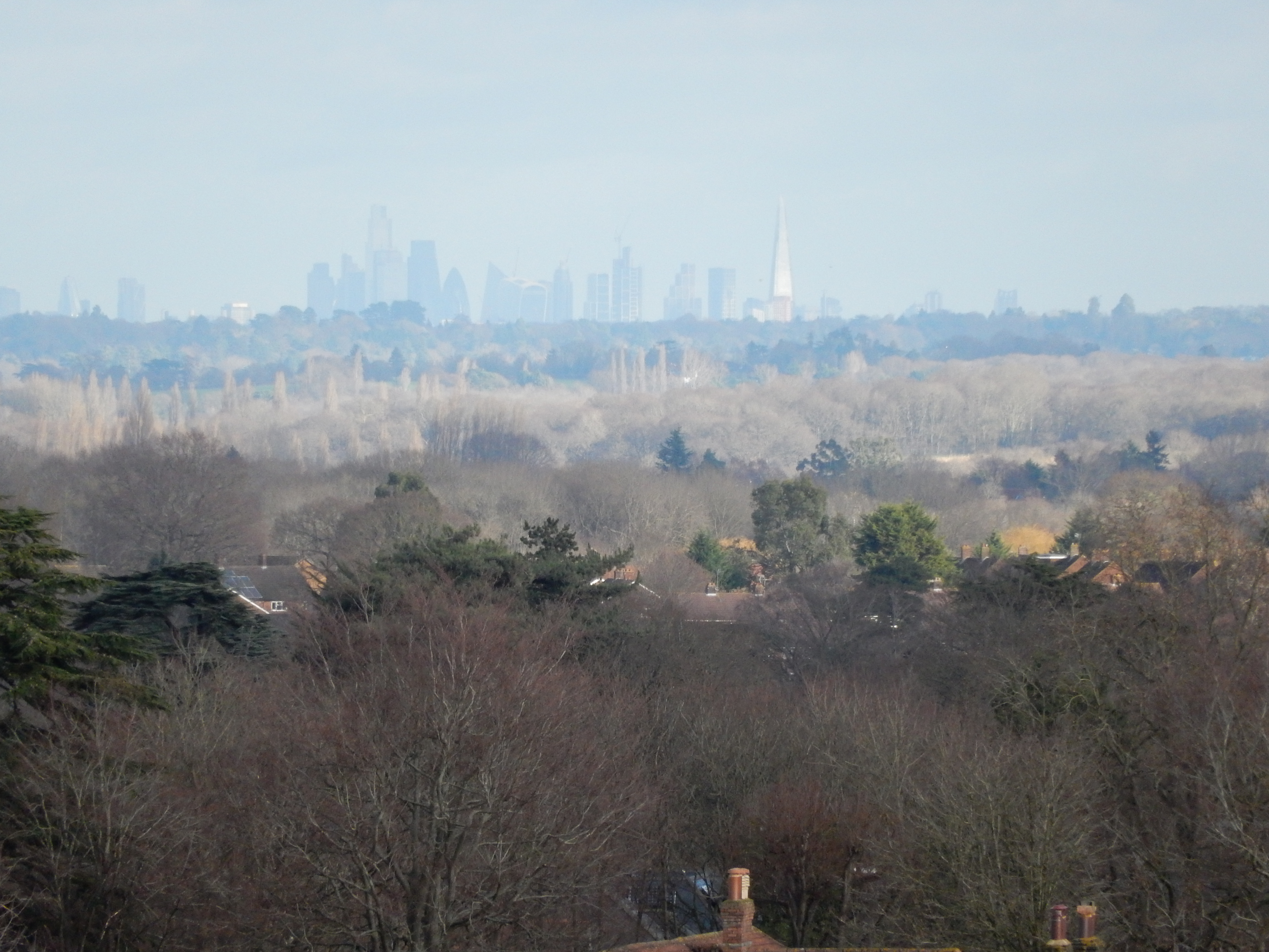
Time management was never my strongpoint, as I discovered during the course of more than 40 years working in Guildford, and this is my first visit here since retirement in June '21. All that appears to have changed since is that face masks have gone, and the queue for Covid tests no longer stretches all the way down the A3. Consequently, there is no need to waste time with GPS as I make my way up the High Street, Castle Street and Pewley Hill. So, still imagining that I am doing well time-wise, I pause to admire the view north from Pewley. It being the proverbial clear day, I can discern the taller buildings in The Wen, 28 miles away.

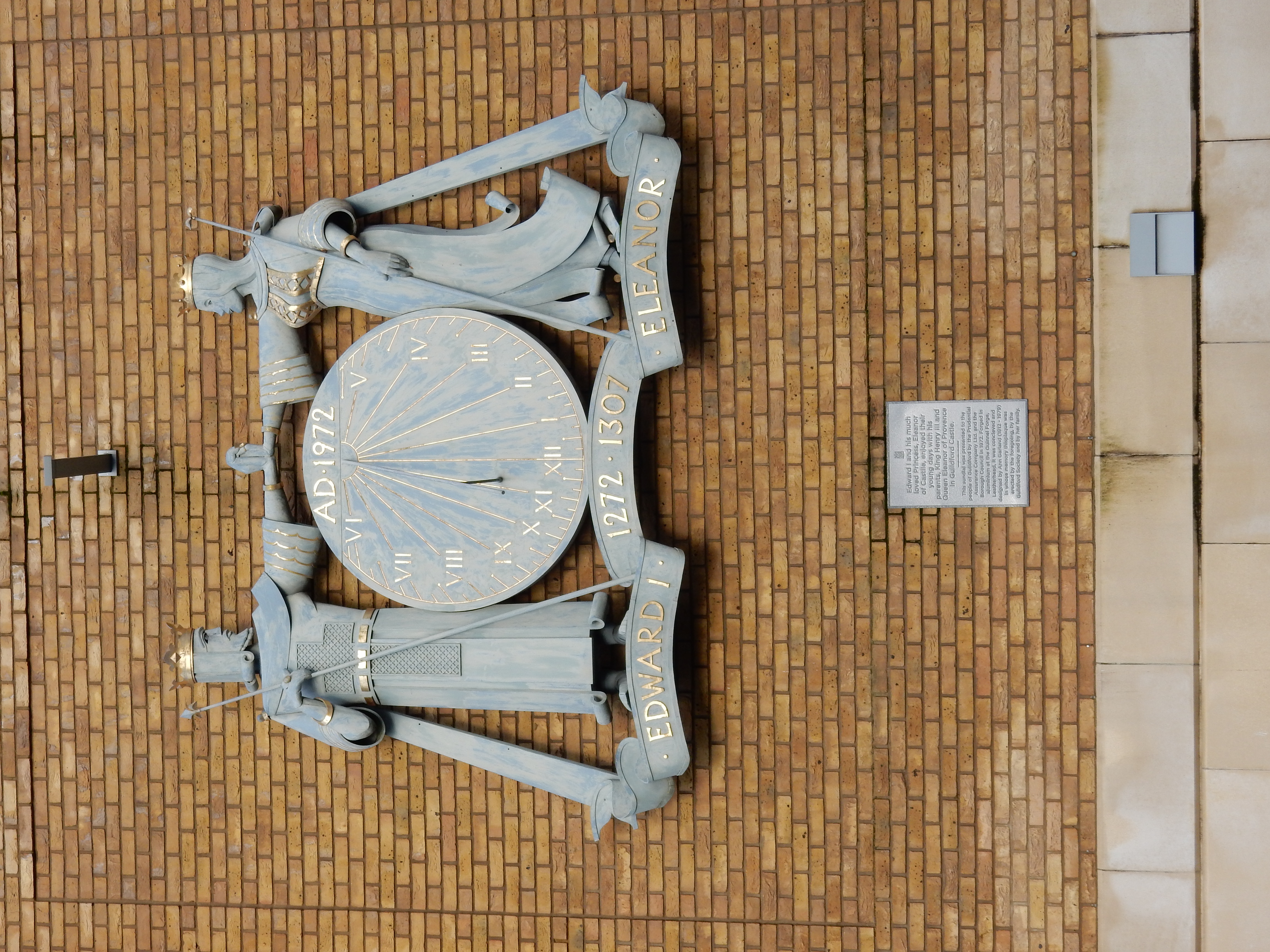

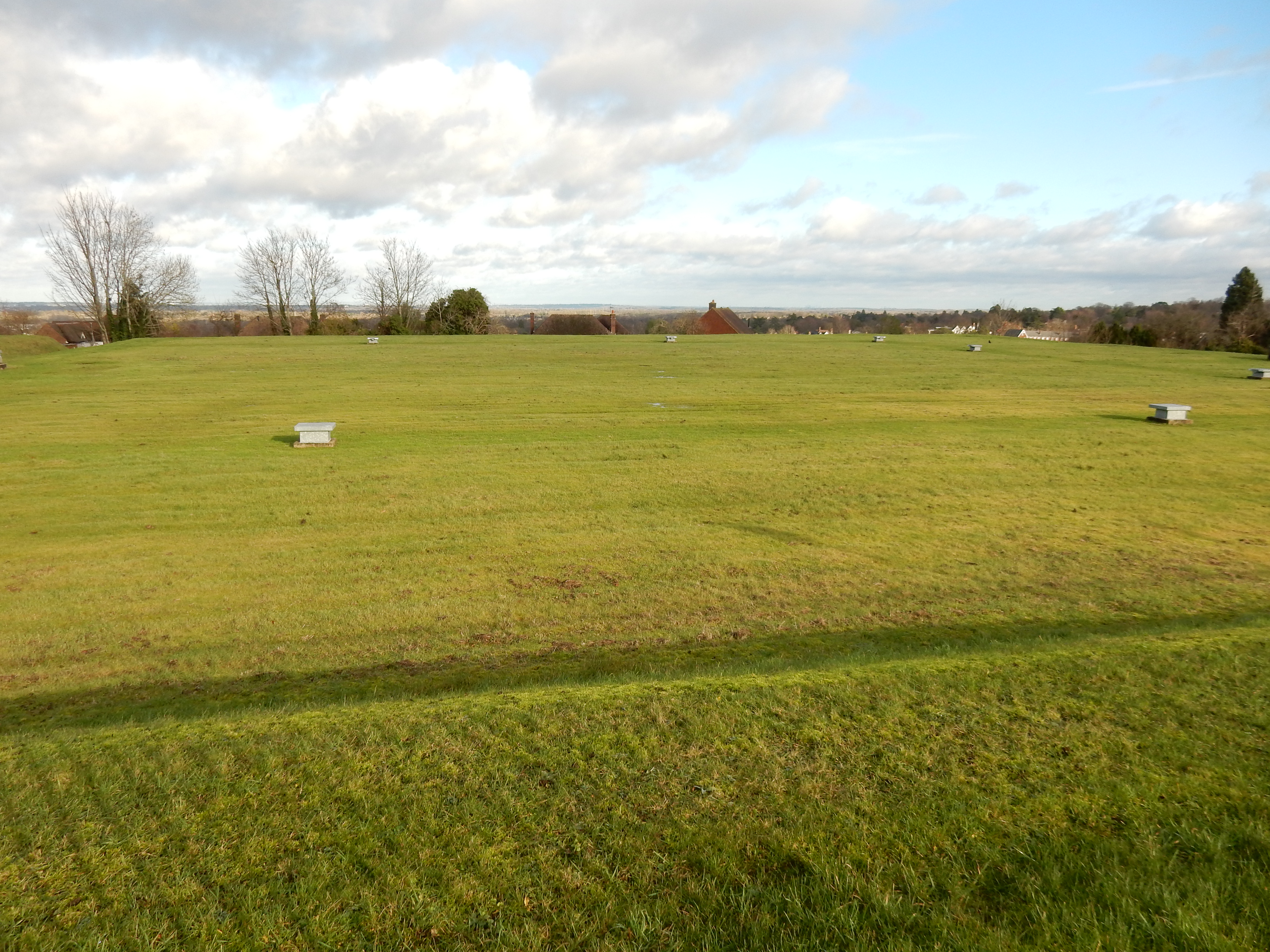
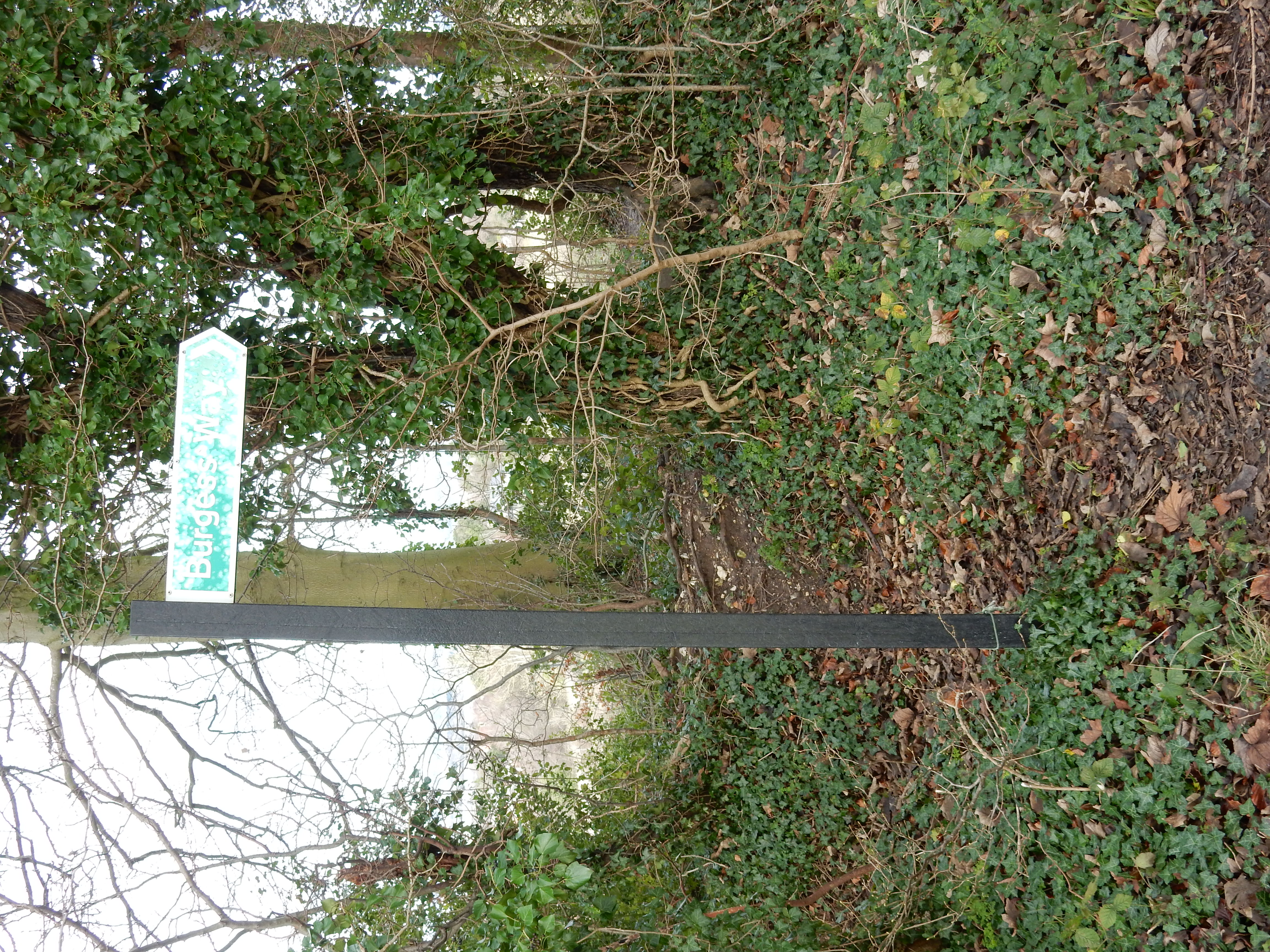
The end of Pewley Hill, and tarmac, marks the begining of terra incognita for me. As I step onto Pewley Down I step into mud. Oh dear. This is not a great start. Half Guildford and its dog go walkies on the Down and, if such a high-usage public space is allowed to become a quagmire then what do the more remote stretches of the North Downs Way hold in store for me? It may look grim ahead but southwards seems rather more fair. This is why I passed by the Semaphore Station a few minutes back: it can see the next one in the chain, located at Bannacle Hill near Witley, about 8½ miles from Guildford.[5]
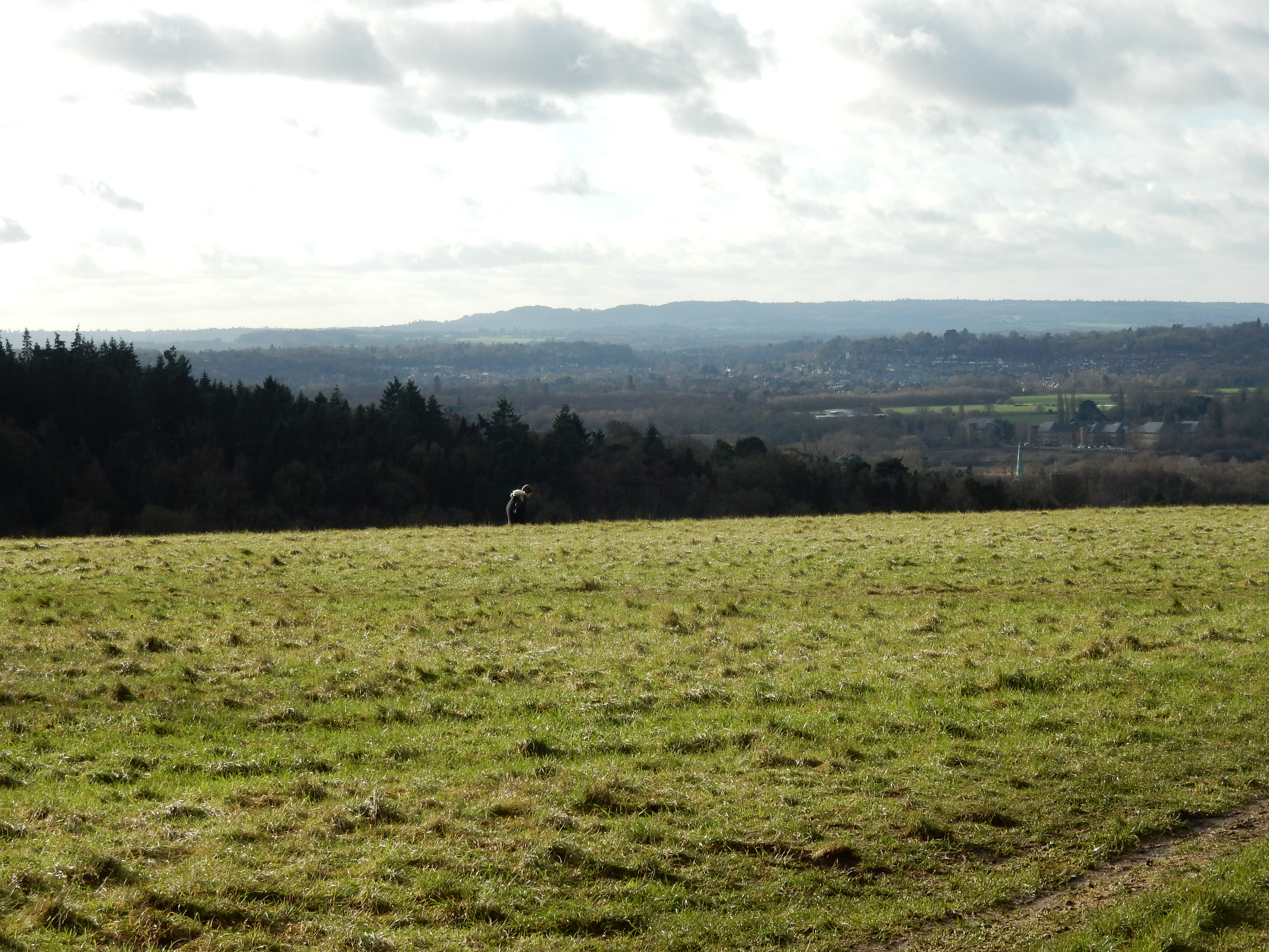
To its credit, however, Guildford takes care not only to name the mud-baths it makes available, but to sign them as such. Here is one called the Burgess Way; all 860 yards of it. I make it to the far end by hopping from side to side. Sometimes a man has to do what a man has to do. Trouble is, it isn't quick. I speed up going along White Lane, past the low end of Guildford's housing market (five of the fifteen properties there do not have tennis courts). Had I instead taken more time then I might have spotted the 'trackway', marked on the OS, connecting with Drove Road and Newland's Corner cafe (where the elite meet to eat). On a chilly beginning of January there are more people making a day of it here than I would have guessed. Moreover, no writer of popular detective fiction is unaccounted for that I can see.
Lunch done, I dash across the A25 (which averages about three vehicles per second) into some bits of Surrey that are visited by perhaps as many as three people during the course of a year. Large chunks of this are owned by Surrey, some of it is NT, some is (or was) Forestry Commission and the rest private. Regardless, most of it is out of earshot of the A25 and is a tranquil, rarely encountered haven of peace.
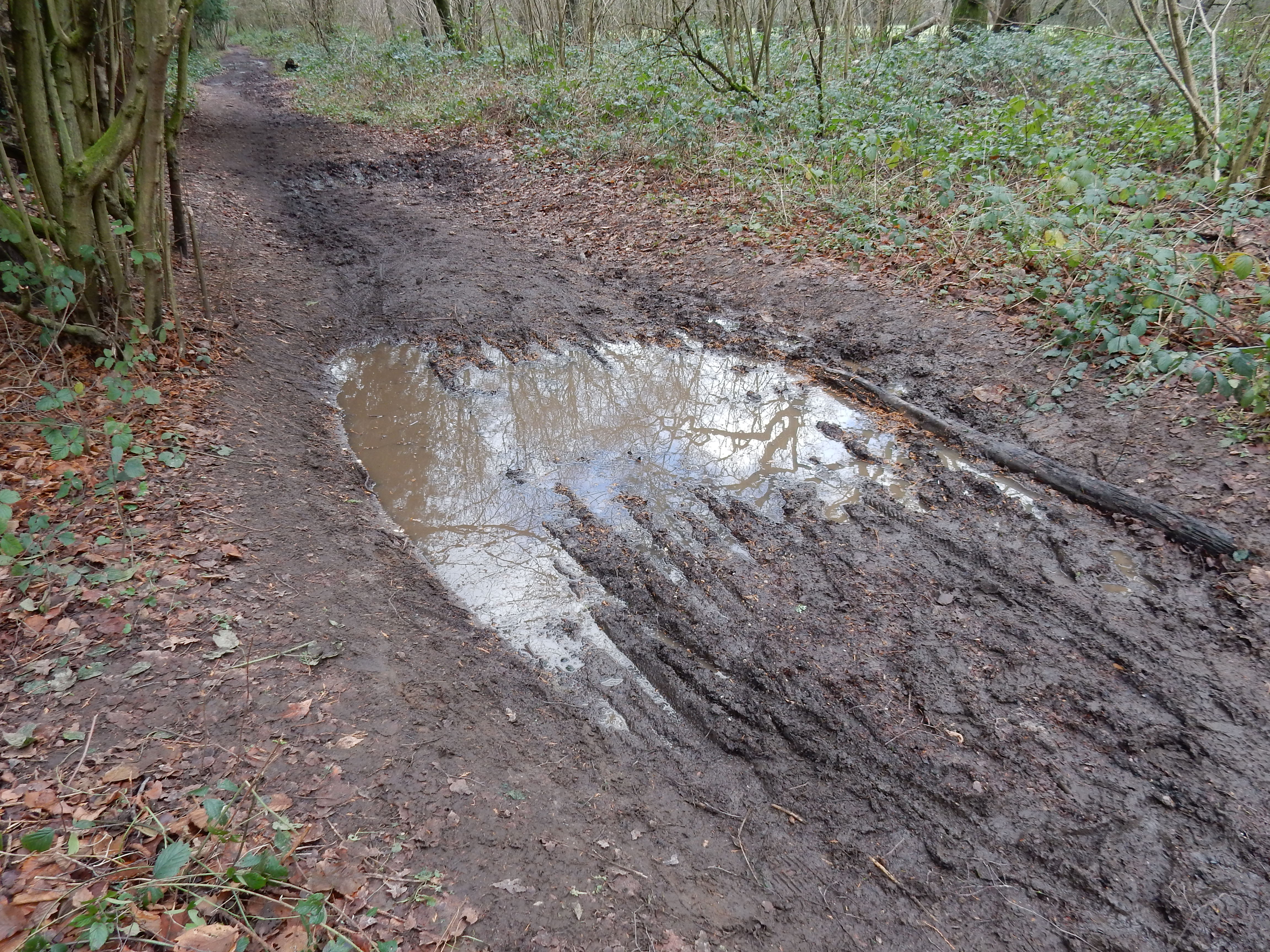
A career spent within an academic environment generates respect for the Scientific Method. Any hypothesis must withstand experimental inquiry. My earlier assertion that chalk downland must be mud free is at this point subject to investigative recording. Perhaps I need to recalculate.
At the risk of going on about the A25 more than a reader wishes to hear, I must disclose that, having driven down from Newlands Corner several thousand times, I fell into the habit of thinking that Dorking lies (more or less) at the bottom of the hill. As a walker, though, this frame of reference is misleading. You are not nearly at the half-way point. There is still Albury, Shere, Gomshall, Abinger, Wotton Wescott and Ranmore on your schedule. It's later than you think.
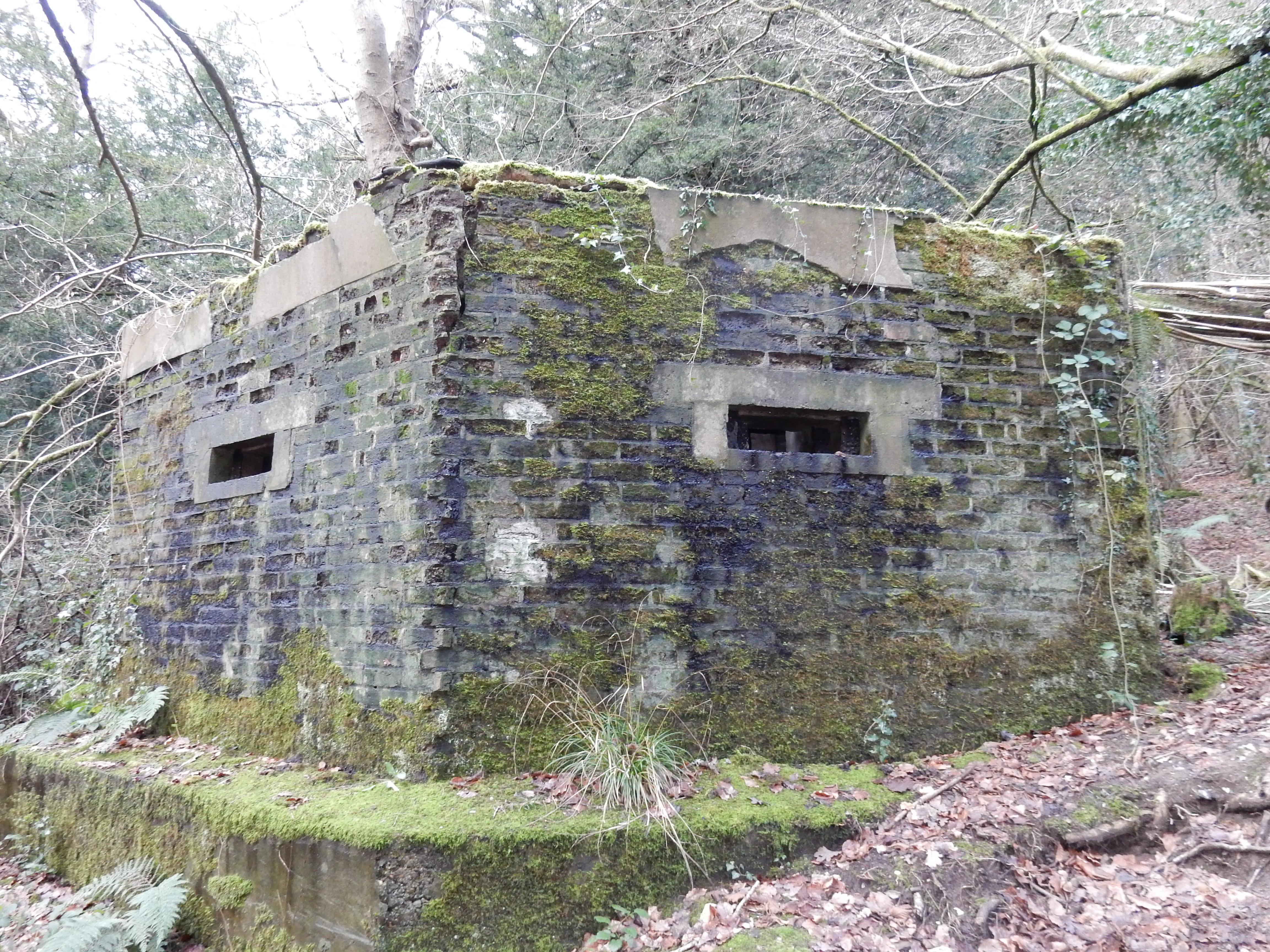
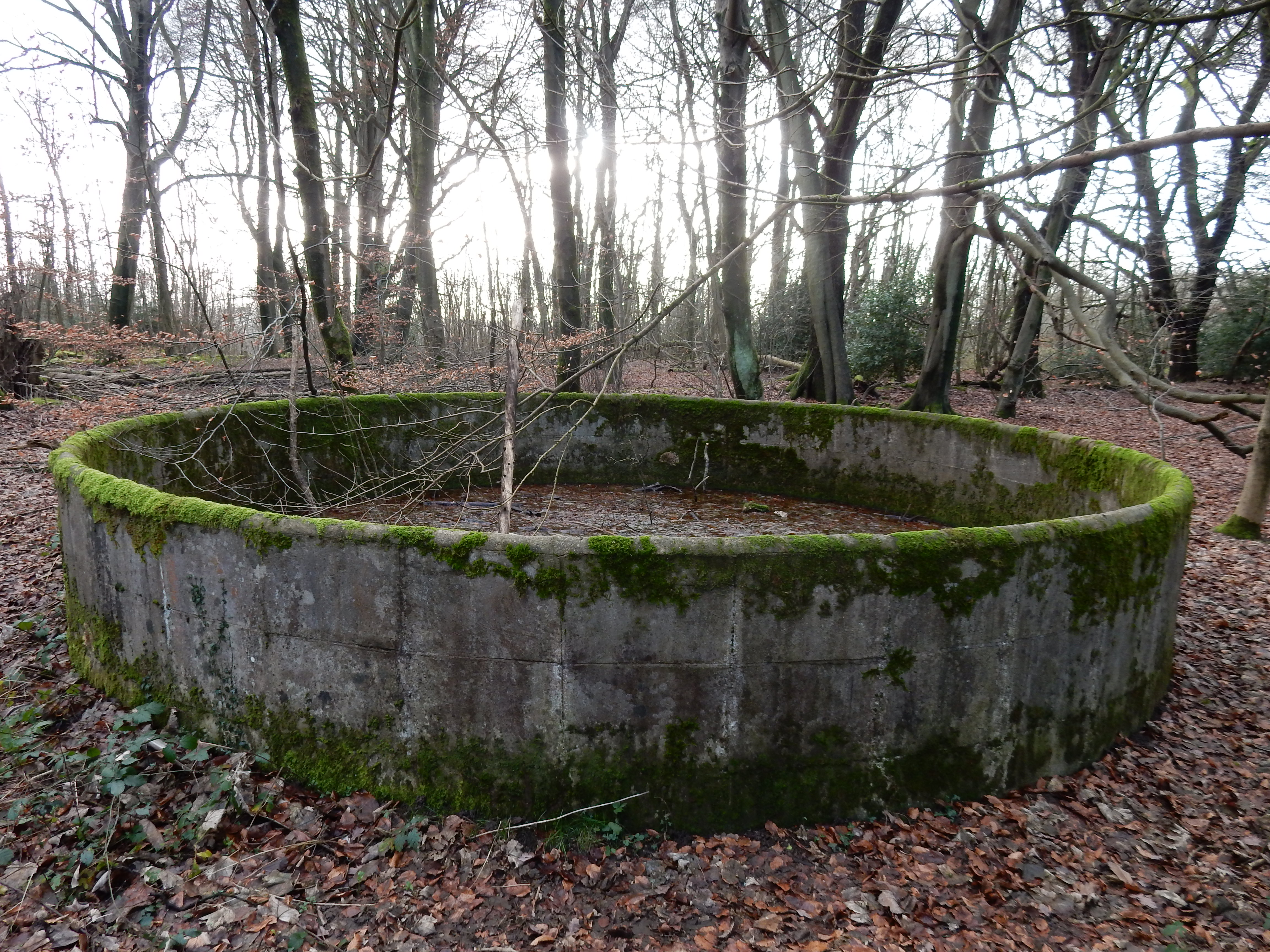
Deluded, I take a right turn twelve metres short of Staple Lane and blow five minutes on an 'Undo'. A little further on are several of these jobs (as Cobbett[bhs] might have called them). I forego the opportunity to rake with machine gun fire Wehrmacht approaching on the A25. They will be impeded more effectively by the Dorking one-way system than these emplacements ever could. After finding the correct route around Hollister Farm, I start to notice more tanks at intervals along the Way. Nearby signage suggests that forest fires were a problem, and that the tanks may once have held water to tackle them.
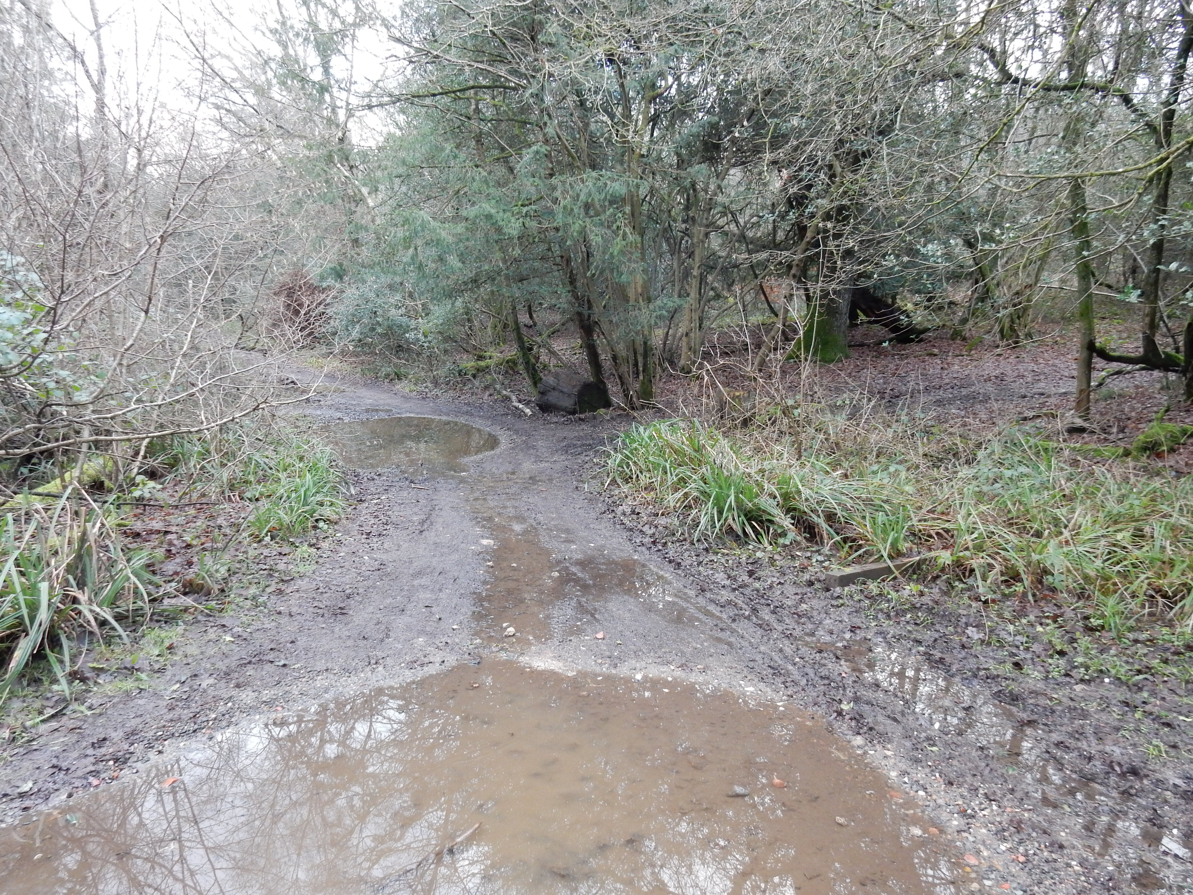
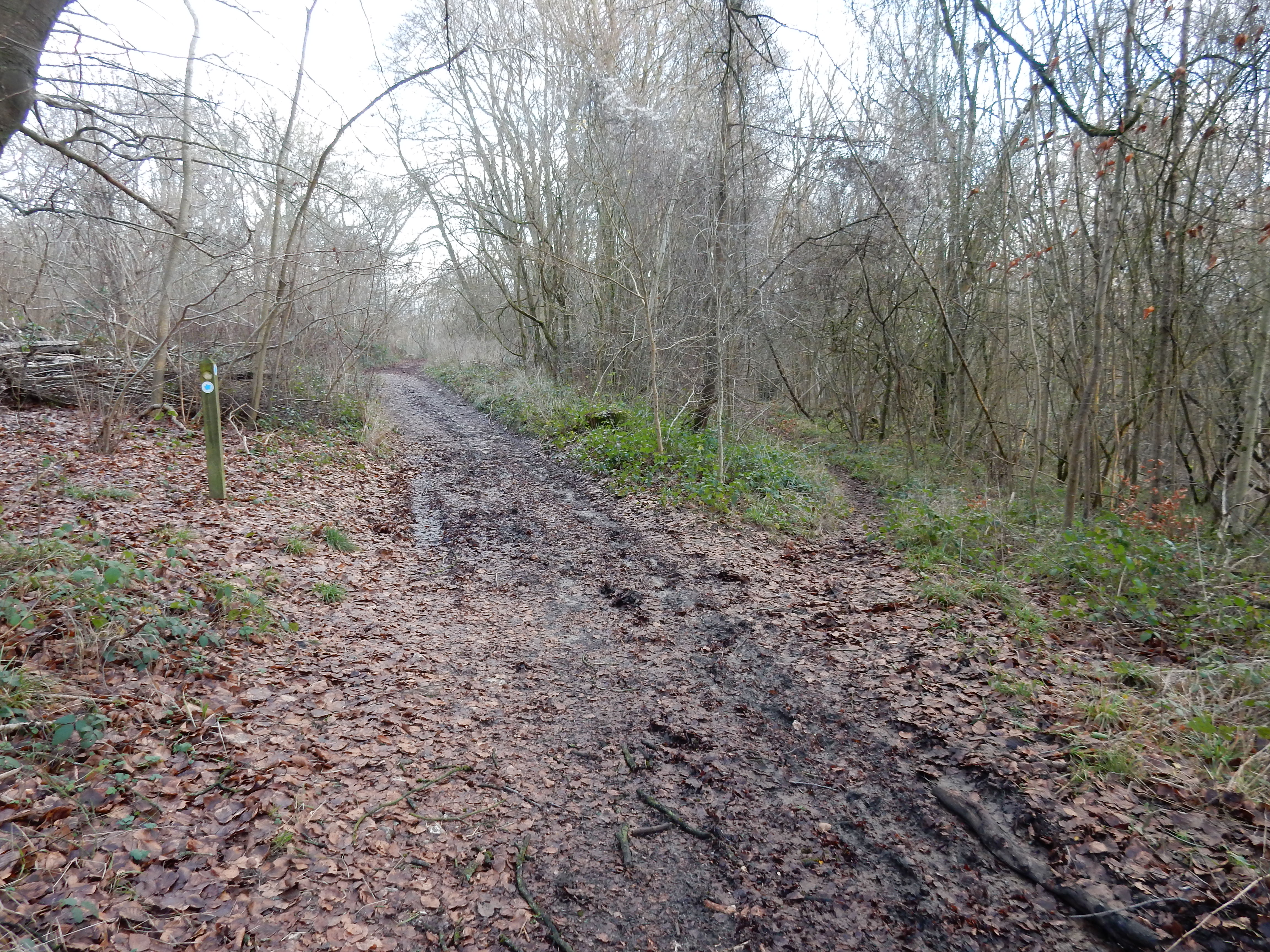
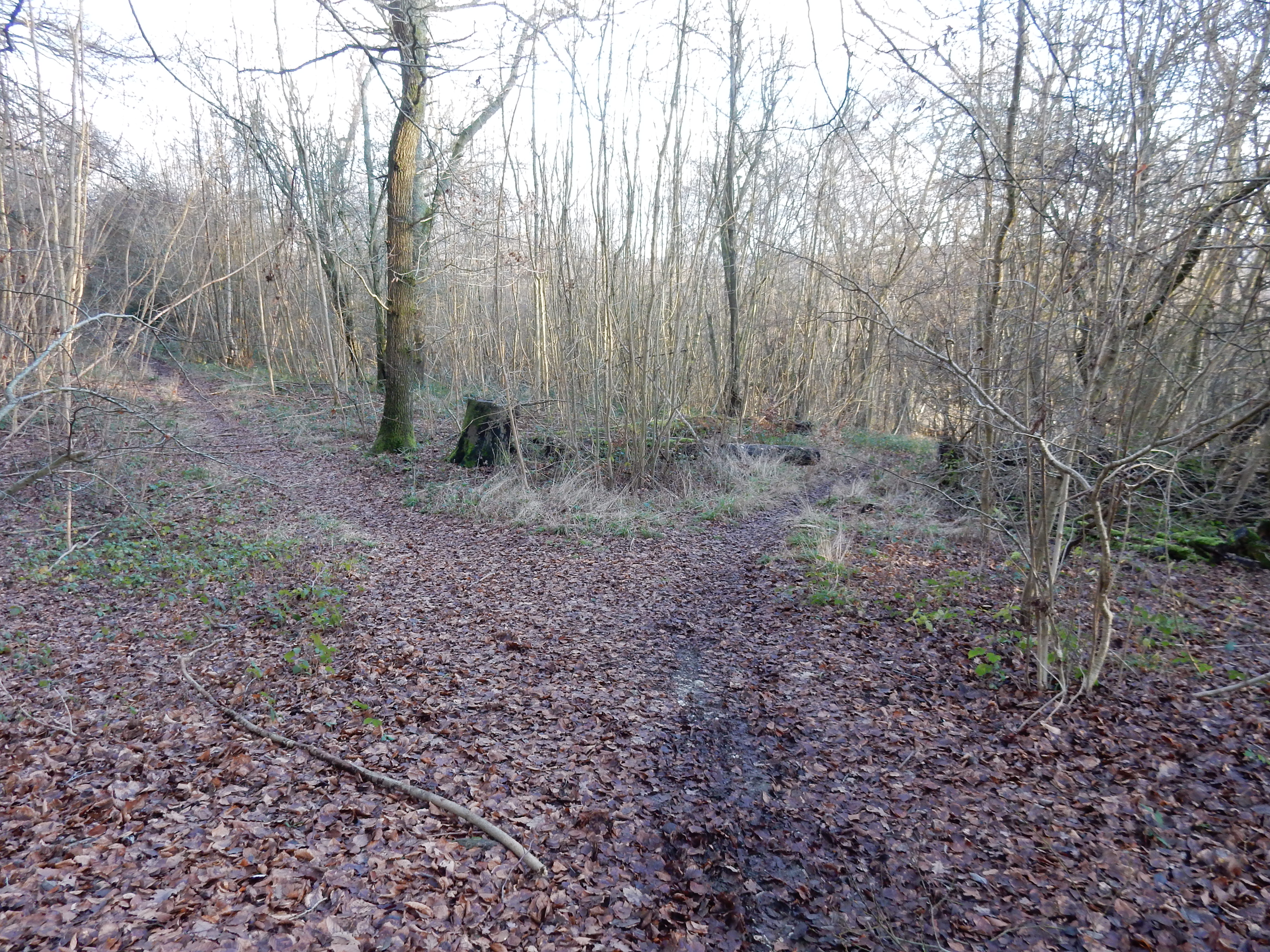
You need to keep a sharp eye out for this turn to the right above Abinger. Further navigational no-noes occur before White Down Lane. The main path continues upwards to the White Downs Car Park, whereas I need the downward fork here to the right. This is repeated a few yards on, but there is no sign to guide you down the right fork. The crossing of White Down Lane looks complicated on the map, but is actually simple enough to walk.
In a futile rush to beat sunset, I miss the right turn down towards Dean Farm and continue along The North Downs Way. Then, here, at this gate above Landbarn Farm, I begin a belated descent down towards the rail line and the lights of Dorking. You notice that the flash has fired. In ten minutes it becomes hard to see where you tread. In twenty, the only light is what my 'phone can provide. 500 metres on from the gate I reach the point where a path leads vertically down from the fenceline I had been walking, to the Pilgrim's Way, some thirty metres lower. To my great relief, some thoughtful Samaritan has installed steps down this precipice. However, any stumble in the dark ensures a broken neck, and tree roots provide much entertainment. A rambler's death for me.
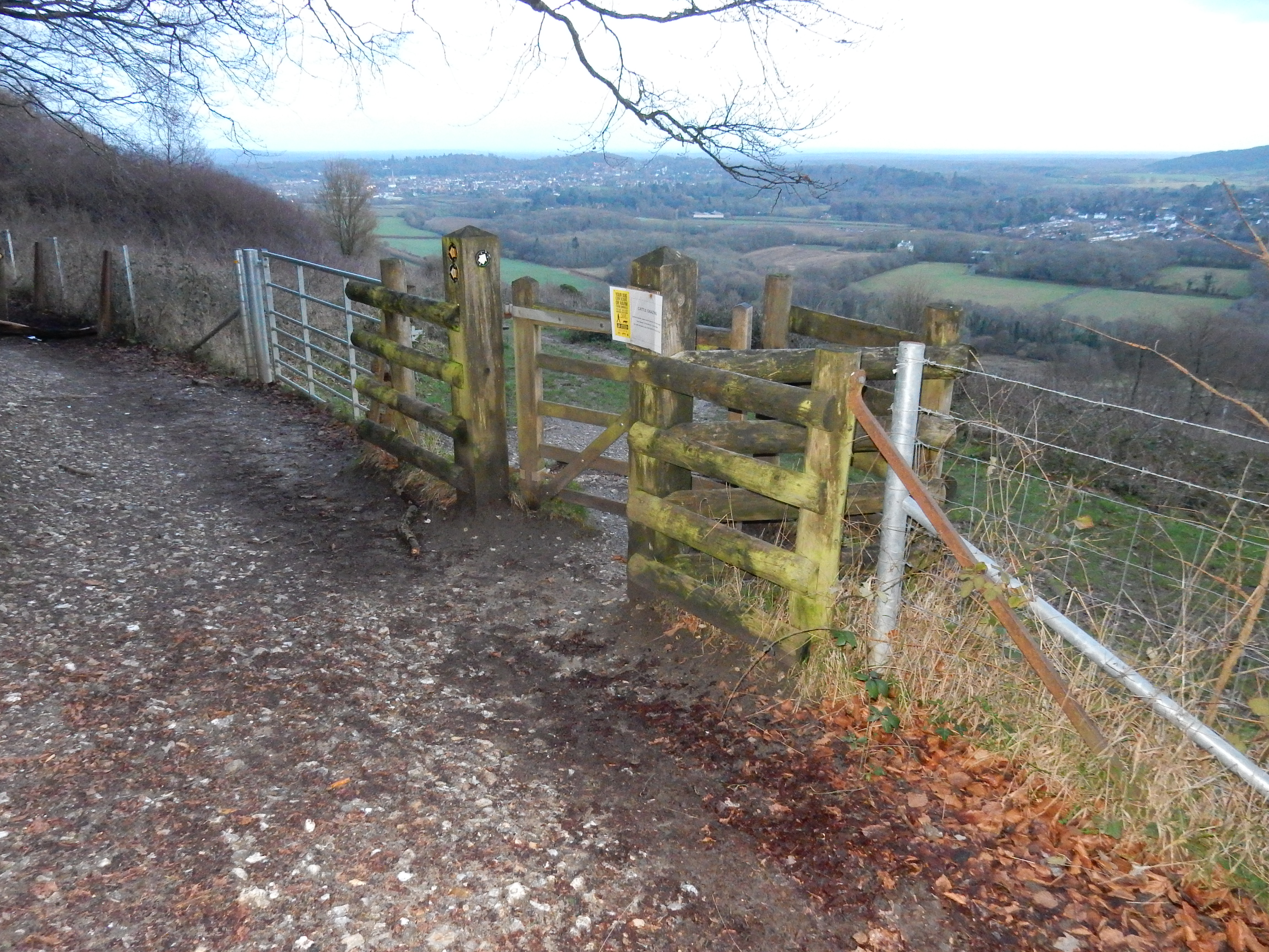
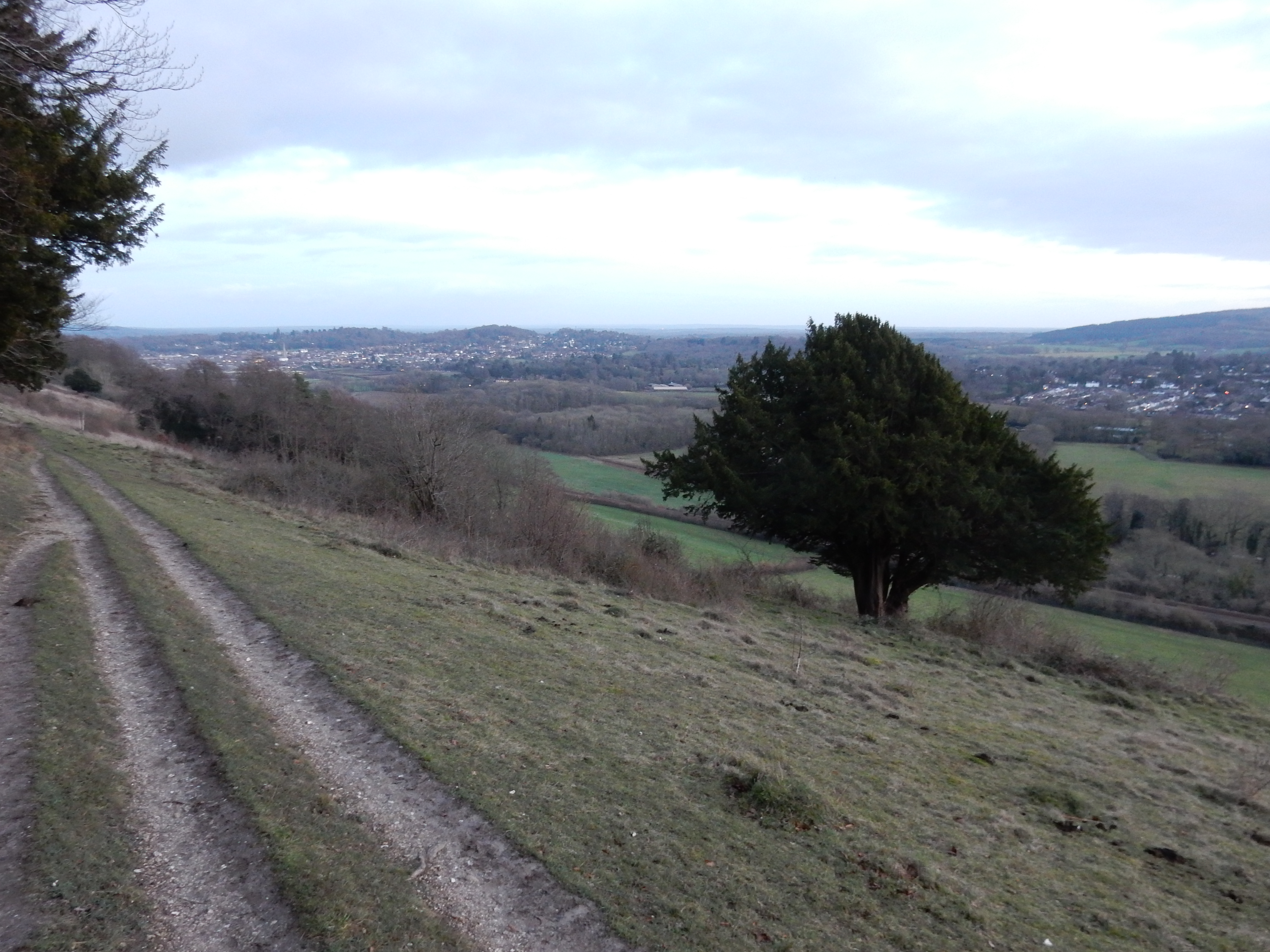
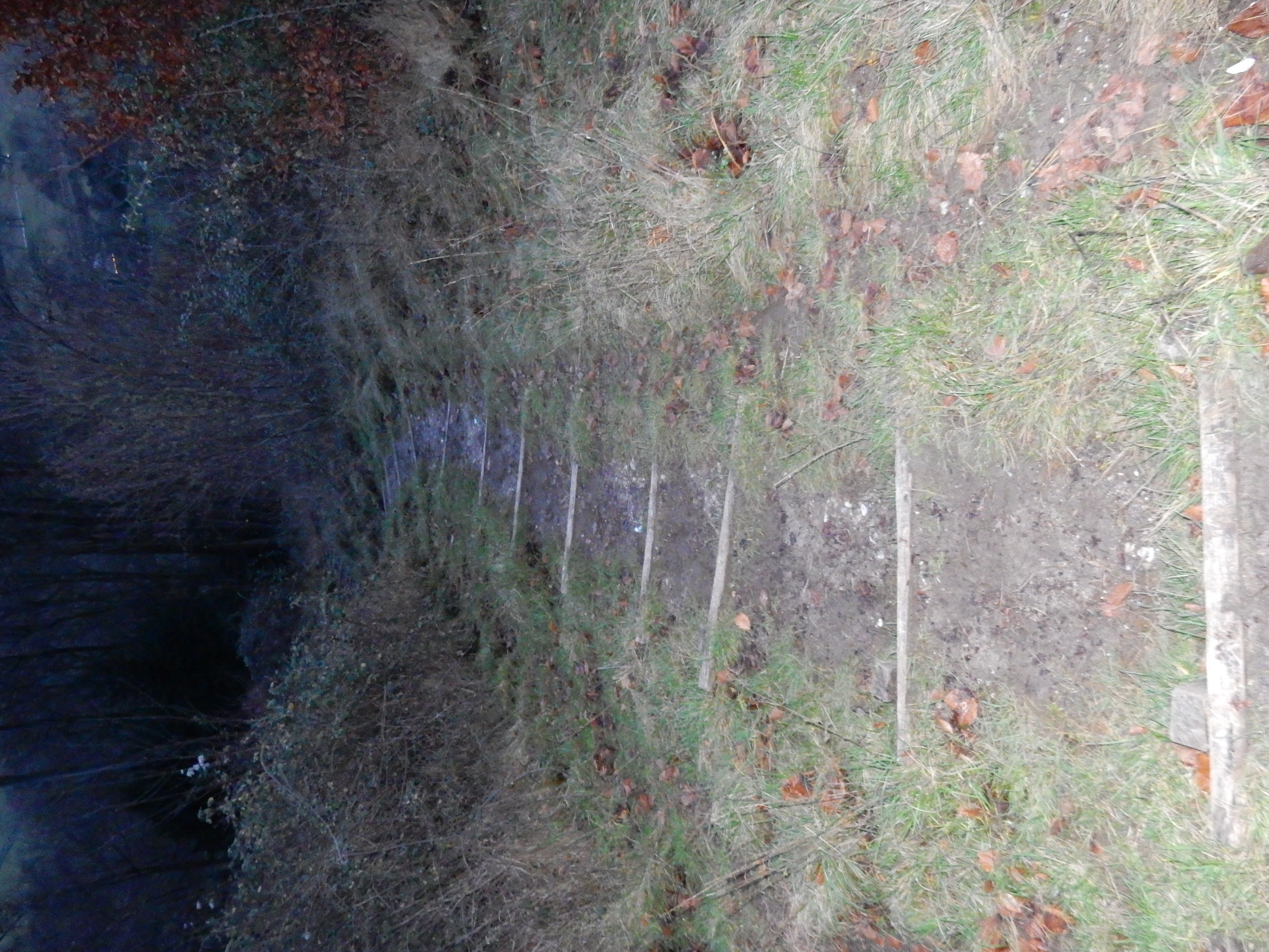
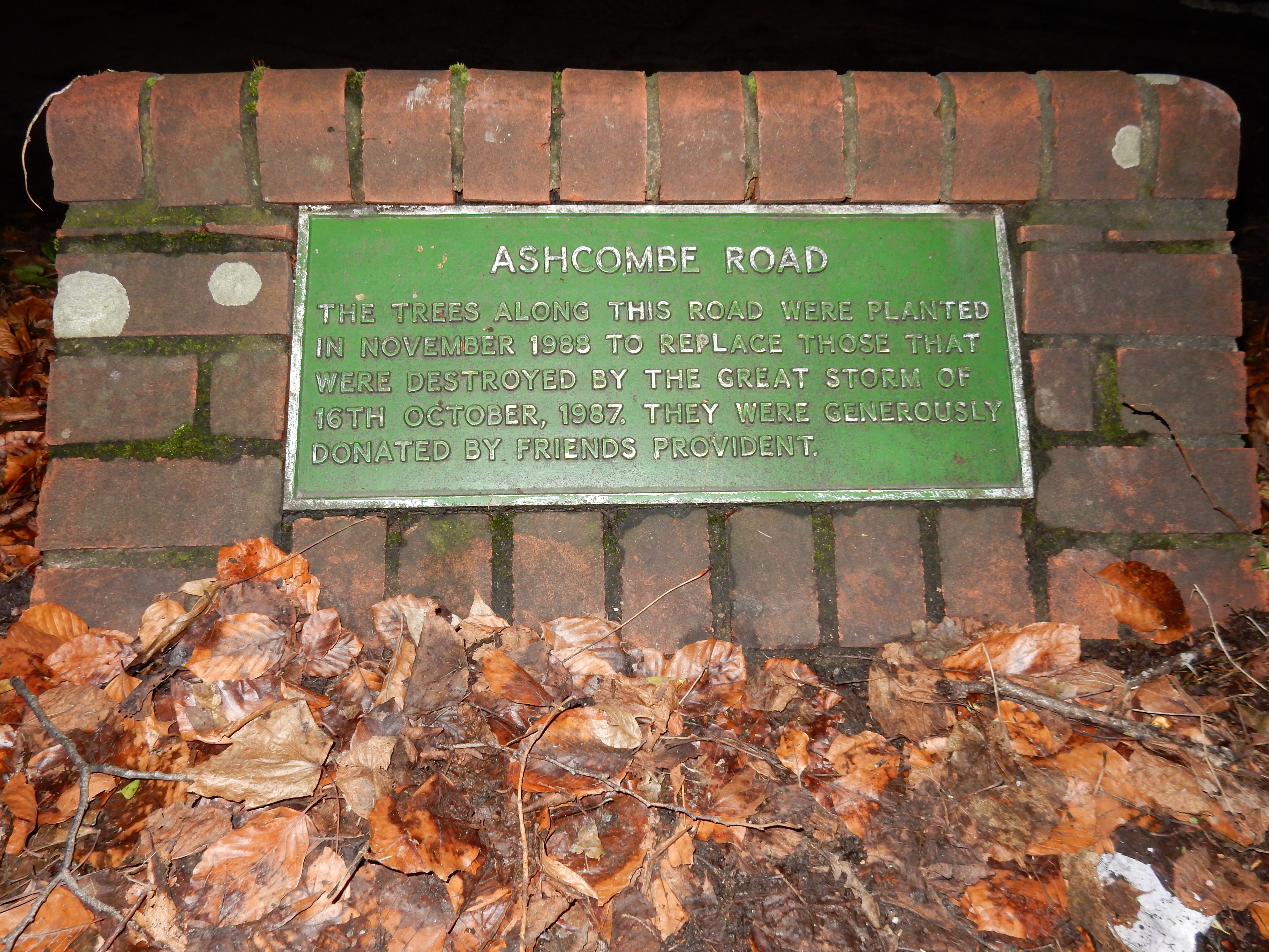
As the descent continues, the going gets noticeably softer and more slippery. Wouldn't it be perfect if I managed a pratfall into a mudbath now? This cheery thought is counteracted by the sound of rush hour traffic descending from Ranmore. There can't be far to go now. Well, there's ¾ mile to go because I decide not to wait for a train at Dorking West, but press on to Deepdene where hen's teeth are less common than trains that stop. I pause, however, in Ashcombe Road to take this shot of the plaque there, for no reason other than having passed it most days for thirty years without knowing what it said. We may, perhaps, take greater interest in the adjoining Keppel Road. A photo of her might be worth seeing.
So that's about all of section #2 of the NDW polished off (for now). Next up, section #3.