Parametric data
- Route name:
- Watton
- Start point:
-
Watton.
(What Three Words). - End point:
-
Castle Acre.
(What Three Words). - Synopsis:
- A medium distance route offering a variety of walking surfaces and scenery. The 2nd section of the Peddars Way. Poor public transport links to the endpoints.
- This route on OS maps:
- https://explore.osmaps.com/route/24614584/ ... ...
- OS Explorer sheet ref(s):
- 229 and 236.
- Distance:
- 14.1 miles walked, 11.2 miles flown.
- :
- 5.8 hours.[1]
- Ascent:
- 180 metres.
- Stiles:
- 0 (zero).
- Landmark of note:
- Trail art near the A47 Norwich Road.
- Feasible excursion:
- If you don't need to park a car there, Little Cressingham is the start point of choice.
- Waypoints:
- Little Cressingham, South Pickenham, North Pickenham, Swaffham, Palgrave, South Acre.
- Fuel:
- Lunch from the BP filling station on the A47. I did not go in the MacDonald's there.
-
: -
 21°C,[2] 🌤️
Luckily, there is a cooling breeze. The temperature climbs
slowly through the day to an uncomfortable 26°
21°C,[2] 🌤️
Luckily, there is a cooling breeze. The temperature climbs
slowly through the day to an uncomfortable 26°
-
Avoiding roads: -
 A 150 metre stretch of B1108, Procession Lane, and South
Acre Road require some care. Nothing scary.
A 150 metre stretch of B1108, Procession Lane, and South
Acre Road require some care. Nothing scary.
-
Footpath construction: -
 Tarmac most of the way. All dirt at the start, between
Houghton Springs and Brecklands Green, and between North
Pickenham and the A47.
Tarmac most of the way. All dirt at the start, between
Houghton Springs and Brecklands Green, and between North
Pickenham and the A47.
-
Footpath condition: -
 At Houghton Springs, blackthorn overgrows the path. Through
the watermeadows, just
beyond that, the route (if you can spot it at all) is seriously
in need of being mown. Brambles taking over at field
boundaries. The soil is quite sandy, so should not be too
bad in winter. Presumably, the
River Wissey
can flood. There is a
footbridge
over the main part of
the river, but the OS marks one point here 'Ford'
🏊♂️
At Houghton Springs, blackthorn overgrows the path. Through
the watermeadows, just
beyond that, the route (if you can spot it at all) is seriously
in need of being mown. Brambles taking over at field
boundaries. The soil is quite sandy, so should not be too
bad in winter. Presumably, the
River Wissey
can flood. There is a
footbridge
over the main part of
the river, but the OS marks one point here 'Ford'
🏊♂️
-
Vistas: -
In Norfolk 🤣
Blackberries:-
 Still too early. Not enough rainfall, either.[3]
Route map.
Walk notes.
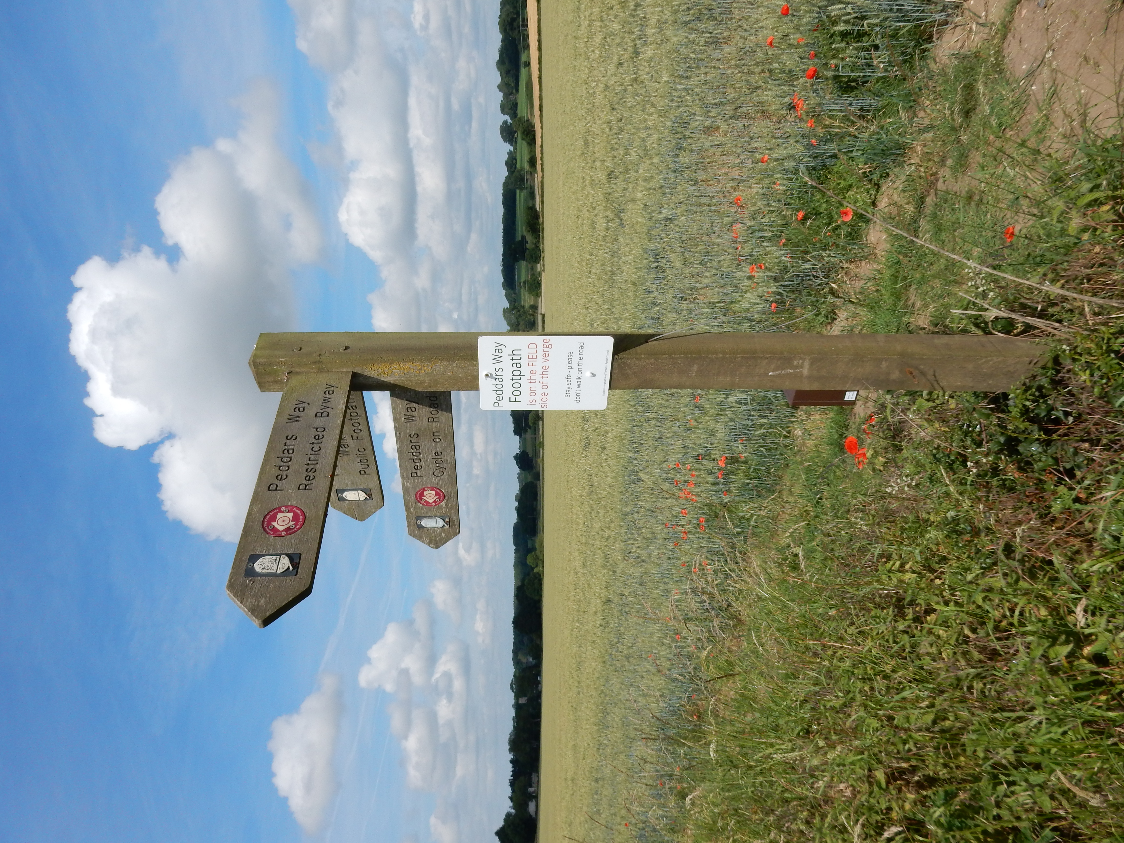
Until Little Cressingham, you go around arable fields. At the B1108, Friends of the Peddars Way have helpfully pointed out that walking in the road is wrong. I heed their sound advice.
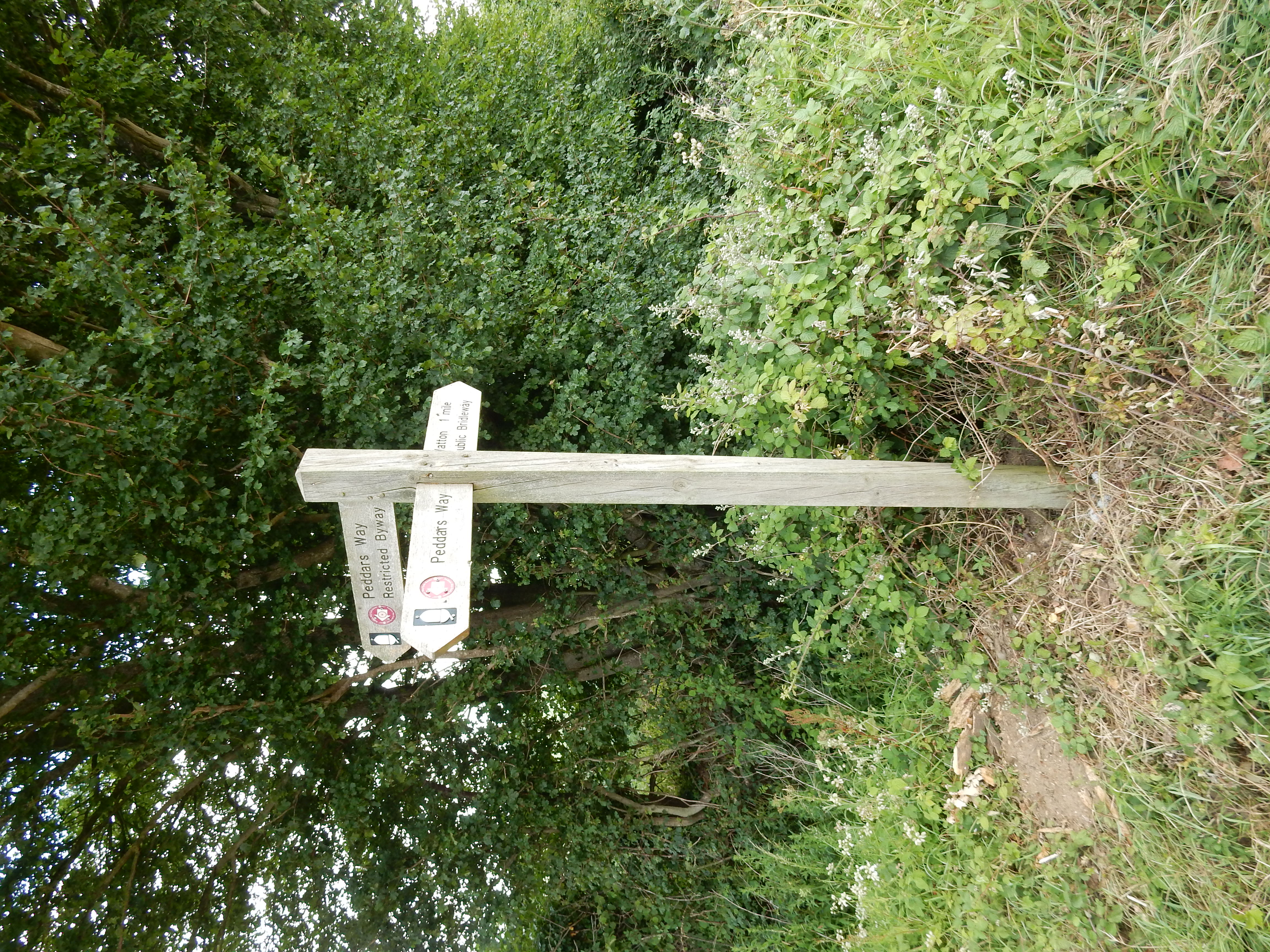
Passing Priory Drove, I note a finger post of some interest. It is the first I have encountered to employ commercial sponsorship. I would gladly have tried out the Windmill if time was on my side.

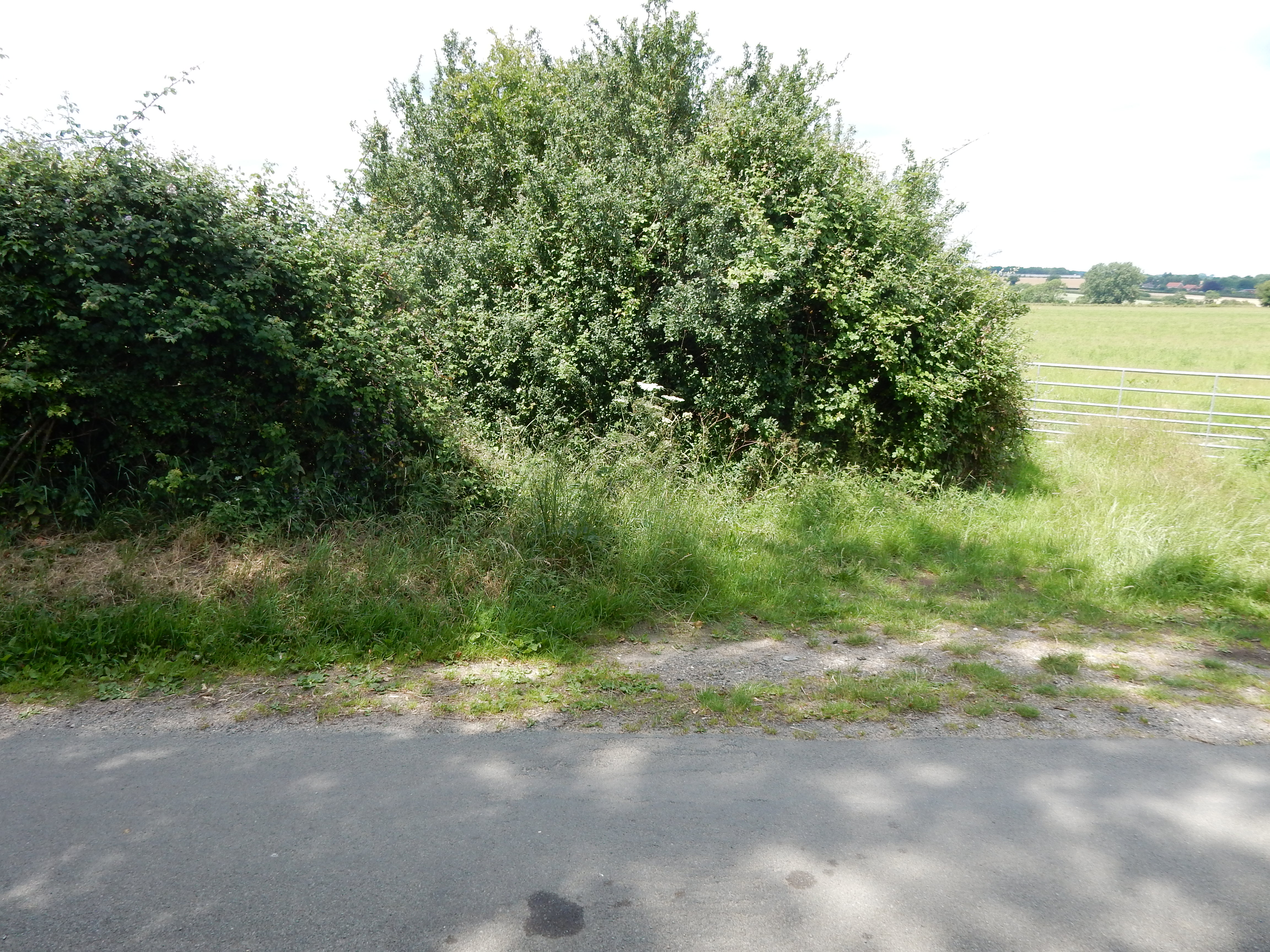
At Houghton Springs you need to keep an eye out for the left turn away from the road. This is very easy to miss because, AFAICS, there is no finger post and it's pretty overgrown. A bigger disappointment awaits in North Pickenham. The paltry 300 ml of water I brought with me to the start is long since drained, the sun is out, and I am hoping to find a corner shop there. I am further enticed by the appearance of signs nailed onto field gates pointing to a nearby 'Cafe'. I reach the South Pickenham Road where such signs vanish. Mortified, I wander into the centre of the village, to find diddly-squat. Even the Blue Lion PH is not open these days. Later googling suggests that this cafe was actually the Pickenham Community Hub, closed on Wednesdays. Woe is me.
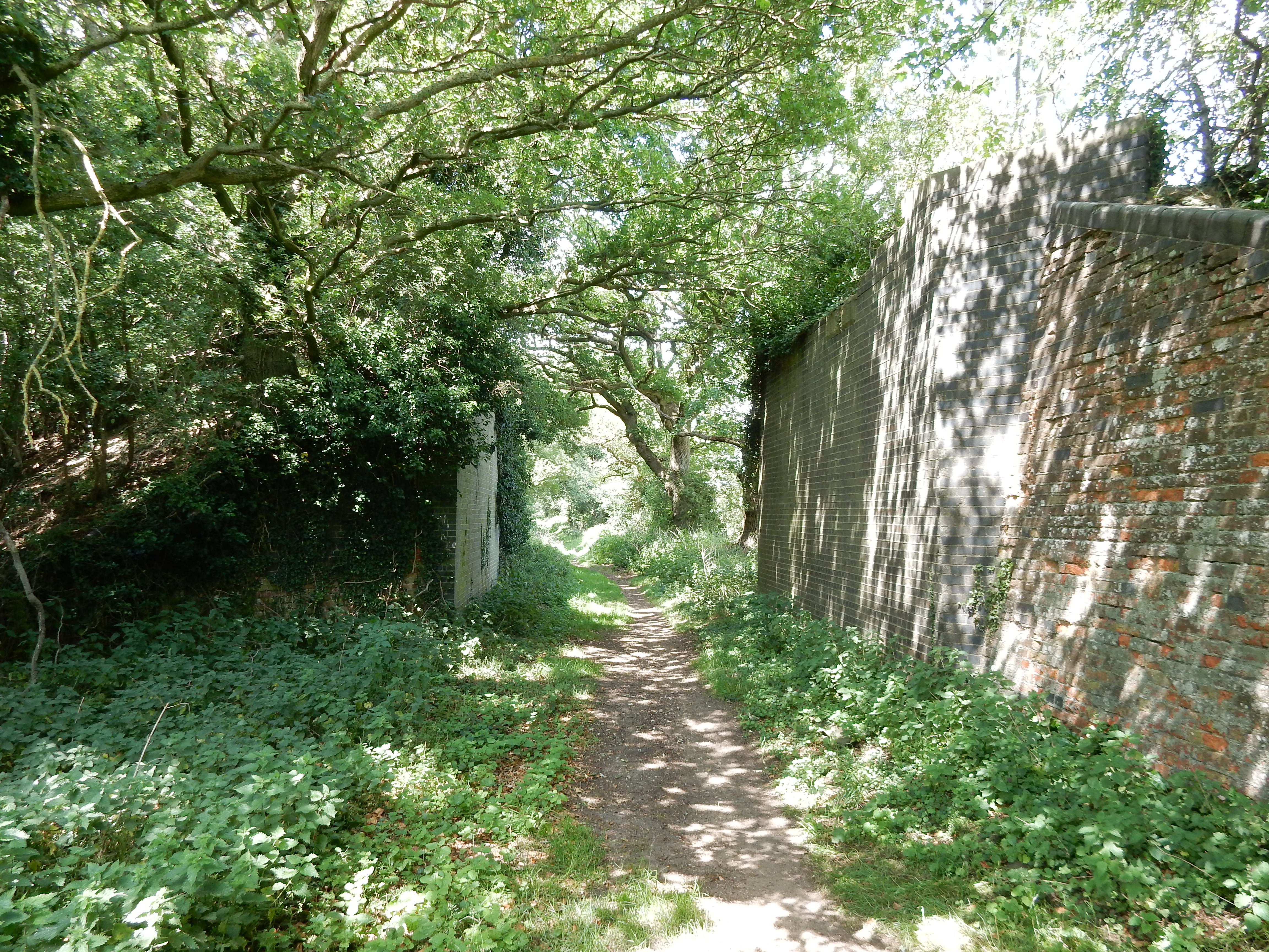
As the Peddars Way leaves North Pickenham it rejoins the old Roman Road for (mostly) the next 2½ miles. Shortly after crossing the road to Swaffham, I see what are clearly the abutments for the bridge of a disused rail line. I spend a minute to check this out because the line, which closed in 1968, seems to have been dismantled in an unusual manner. The embankment leading up to the western end of the bridge is still in place, but the one opposite has completely been dug away. The ground there is in productive use for crops, but the work involved is rarely considered worthwhile.[4]
When our gallant Norman foes made our merry land their own,
and the Saxons from the Conquerer were flying,
at his bidding it arose, in its panoply of stone,
a sentinel unliving and undying.
W.S.Gilbert, 1888[5]
As the Peddars Way crosses the A47 east of Swaffham, I get an opportunity to purchase water at the BP filling station. This, too, runs out before the walk end, but the day is saved. The stretch going past Great Palgrave is quite pleasant; the roar of A-road traffic subsides for a while and it's possible to imagine that you are in the countryside. It's a countryside still suffering stress due to low rainfall. It dawns on me that I am walking on almost pure sand that has been blown onto the road from the adjacent fields. The East Anglian dust bowl?
Arriving at the A1065, I snap out of my reverie. A tourist coach heading up South Acre Road judders to a halt in a cloud of dust, narrowly avoiding an agricultural vehicle heading in the Palgrave direction. This type of in-road walk never makes my day. I am cheered, however, by my first view of Castle Acre with the Priory remains in the foreground. Where now the Peddars Way forks to the right, towards the castle, is guaranteed all but traffic free because the ford at the River Nar is now inaccessible from the south. The last tourist driving toward Castle Acre to think that his sat nav understood this route has long since drowned.
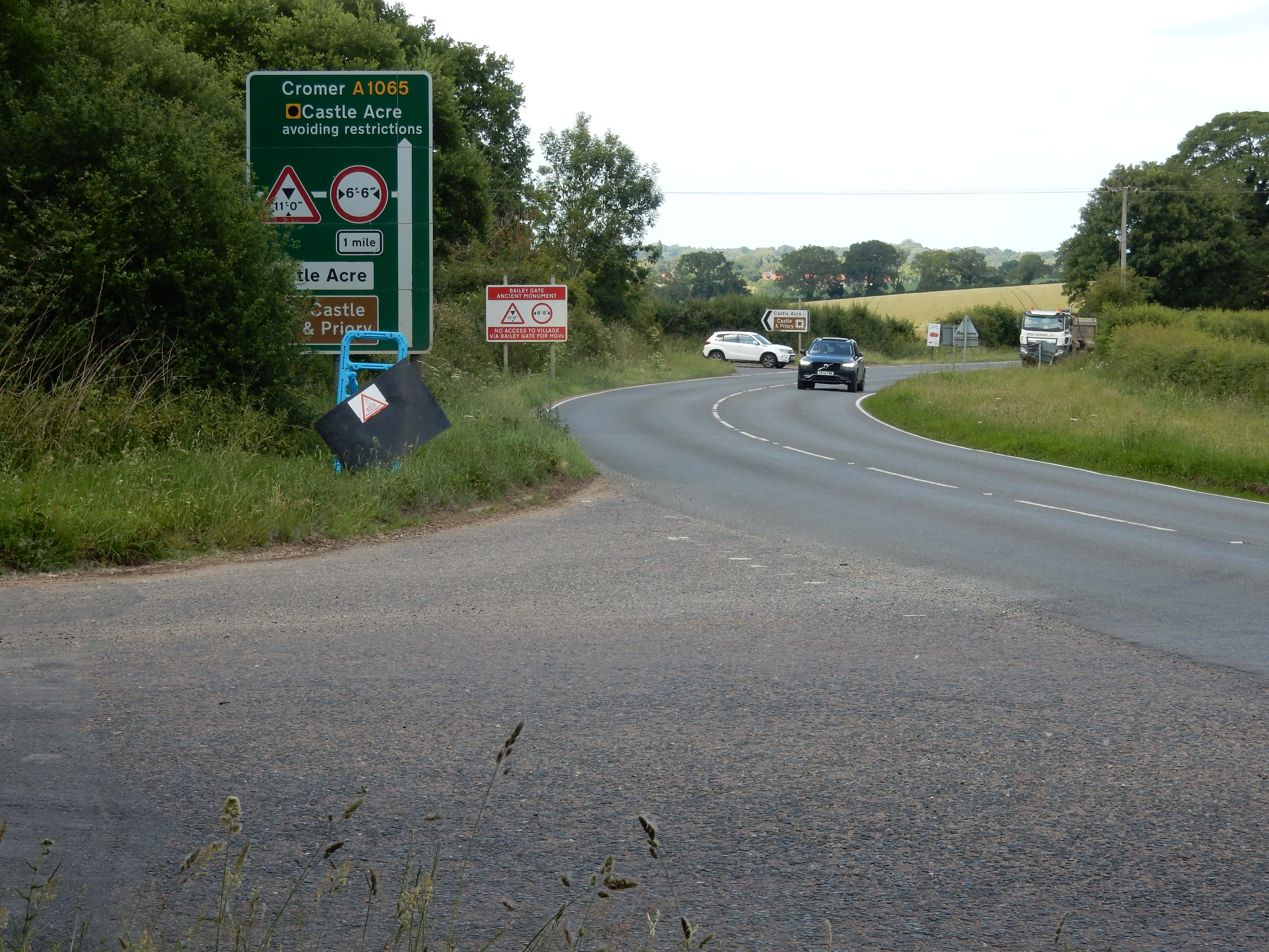
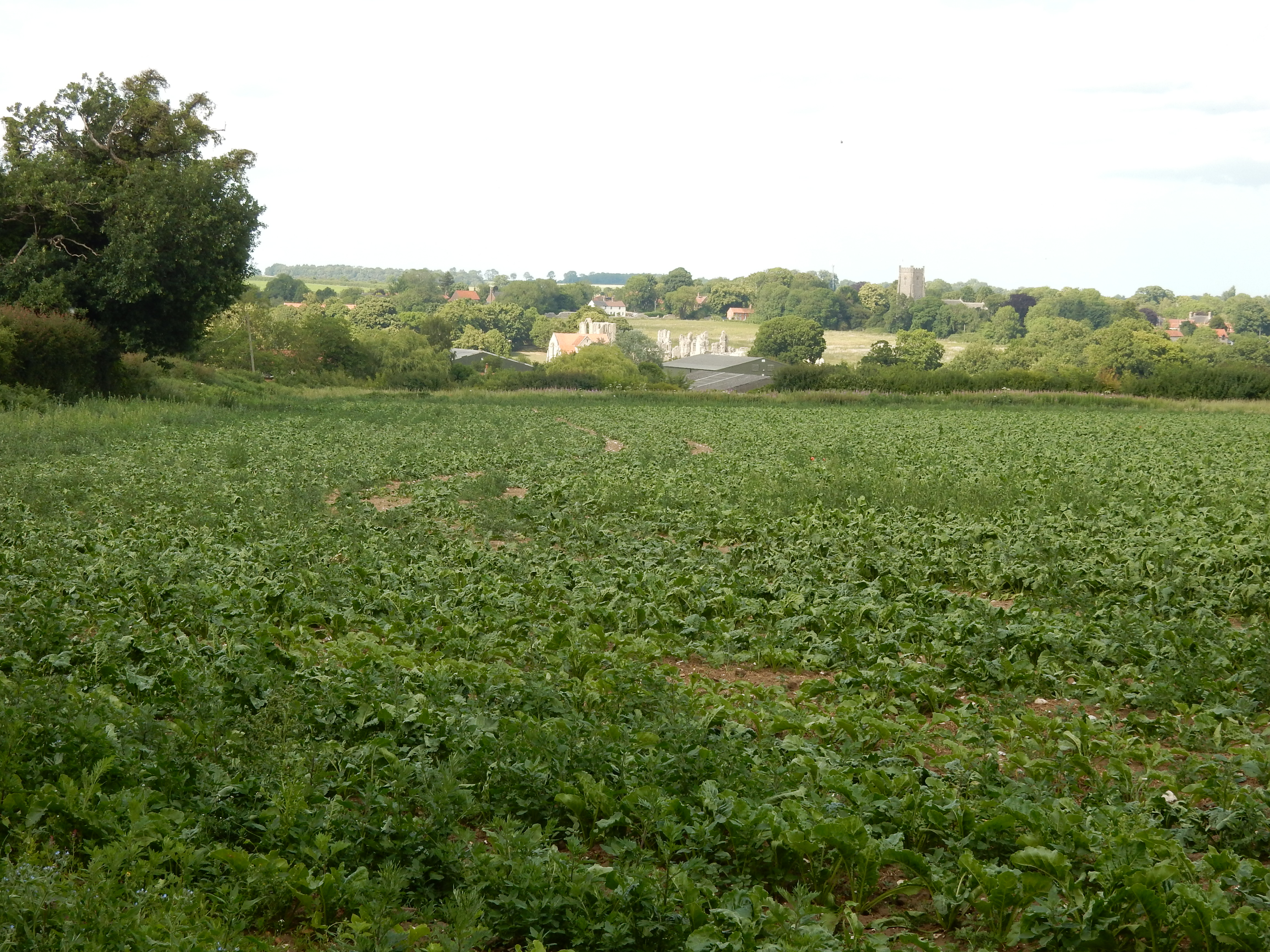
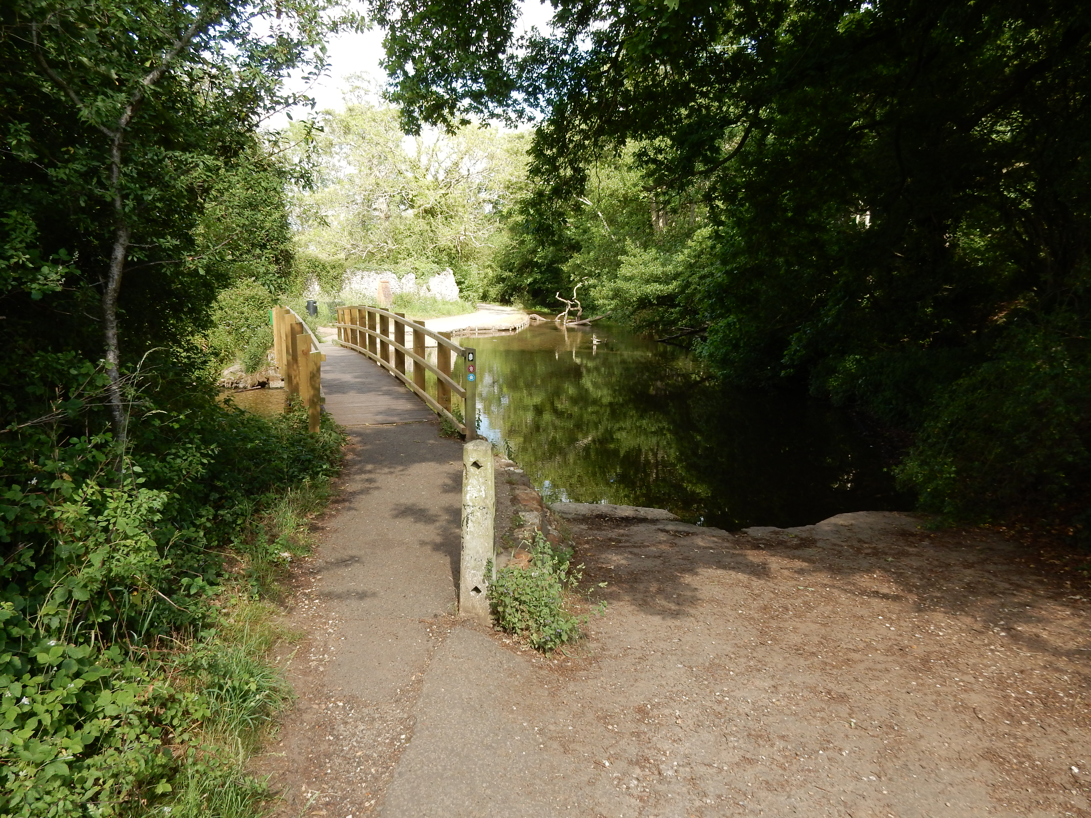
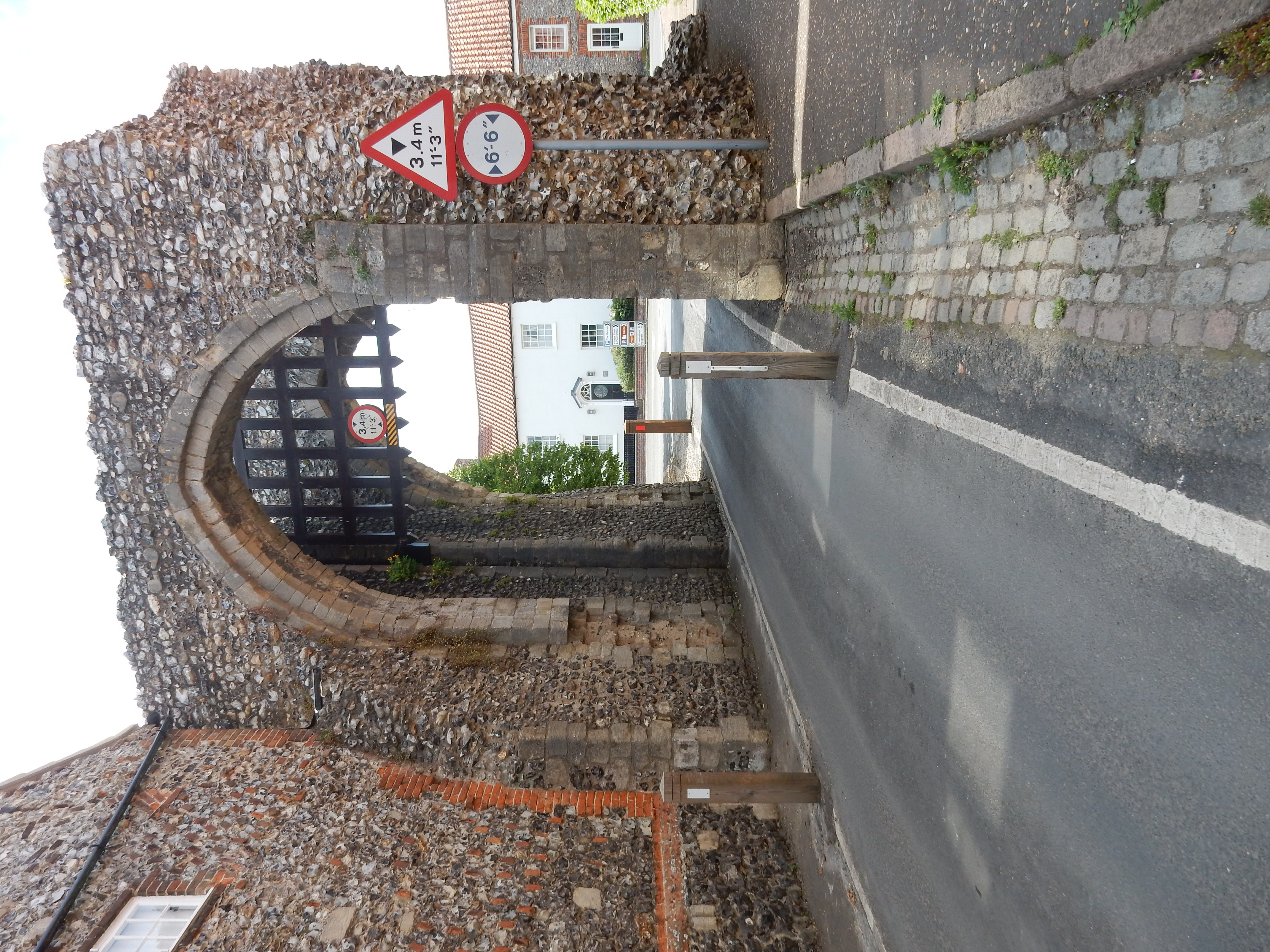
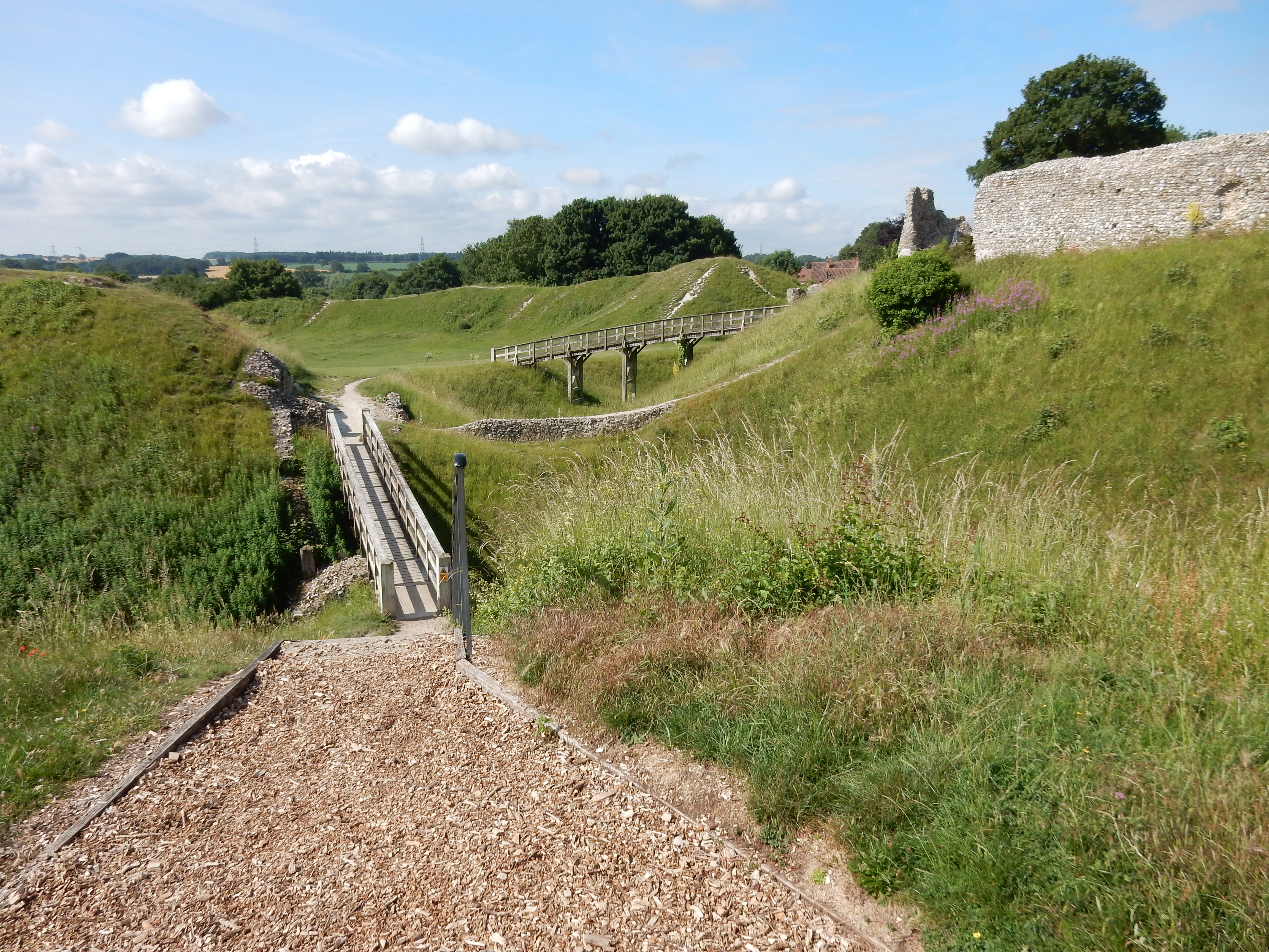
Had he lived to reach the castle, our visitor would certainly have been impressed by the scale of the earthworks here. Only the Tower of London really matches its impact as an expression of Norman nervousness. More of that is to be seen in Bailey Street where this fortification continues to operate against vehicles exceeding a width of 6’ 6”. Inspection of the Highway Code has failed to identify any sign that warns of overhead boiling oil.